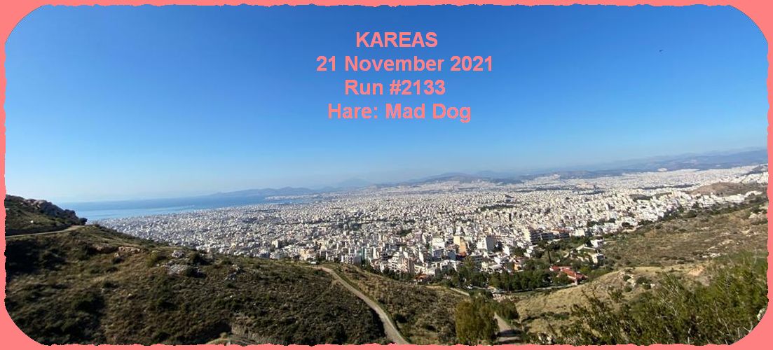
Photographers: Ass Crack, Jack of Trumps, CU Natalie, CU Sophie, Mad Dog
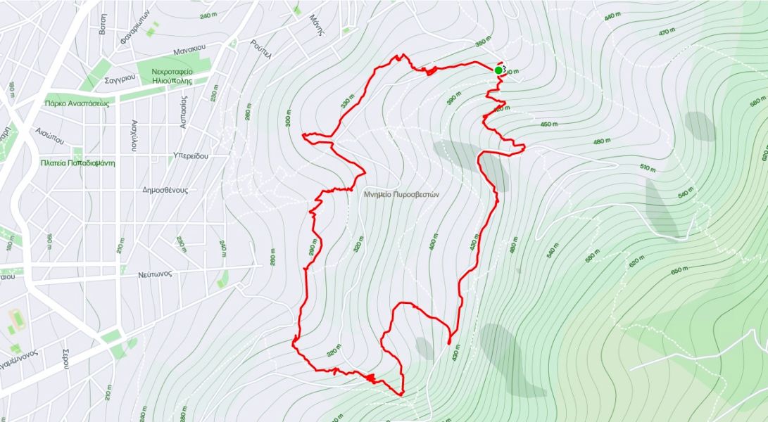
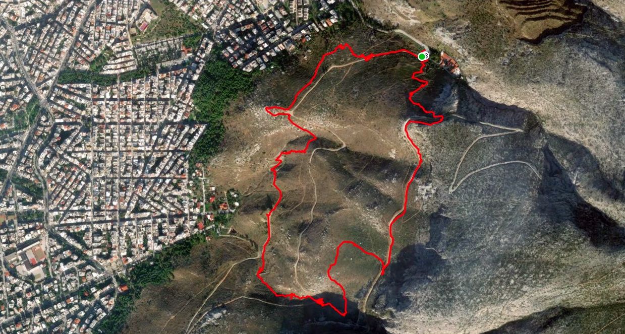
"THAT DAM TRAIL"
https://en.wikipedia.org/wiki/Check_dam
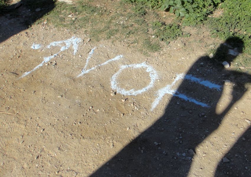
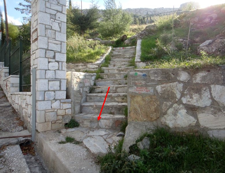
Example trail markings
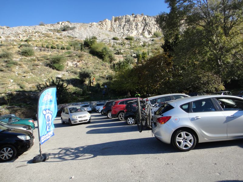
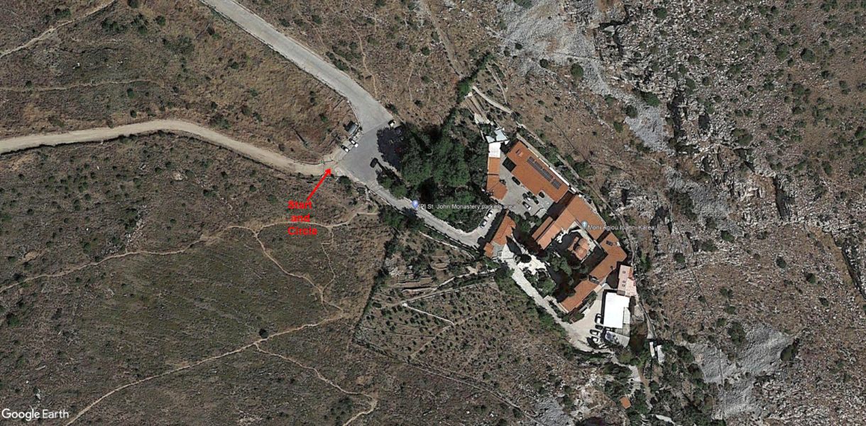
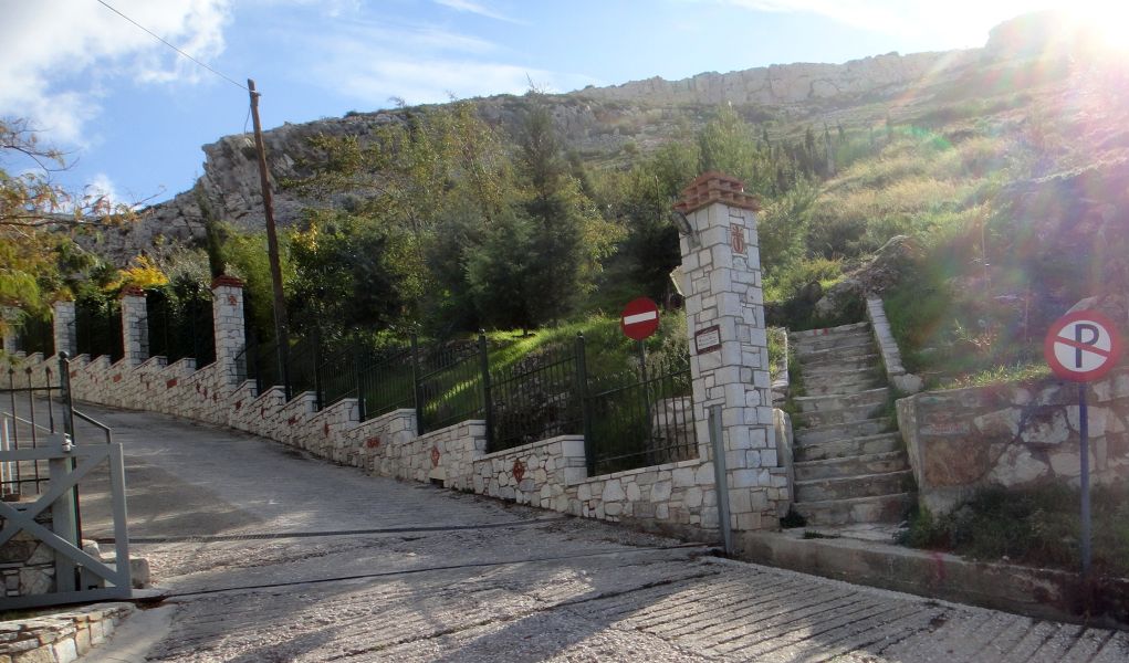
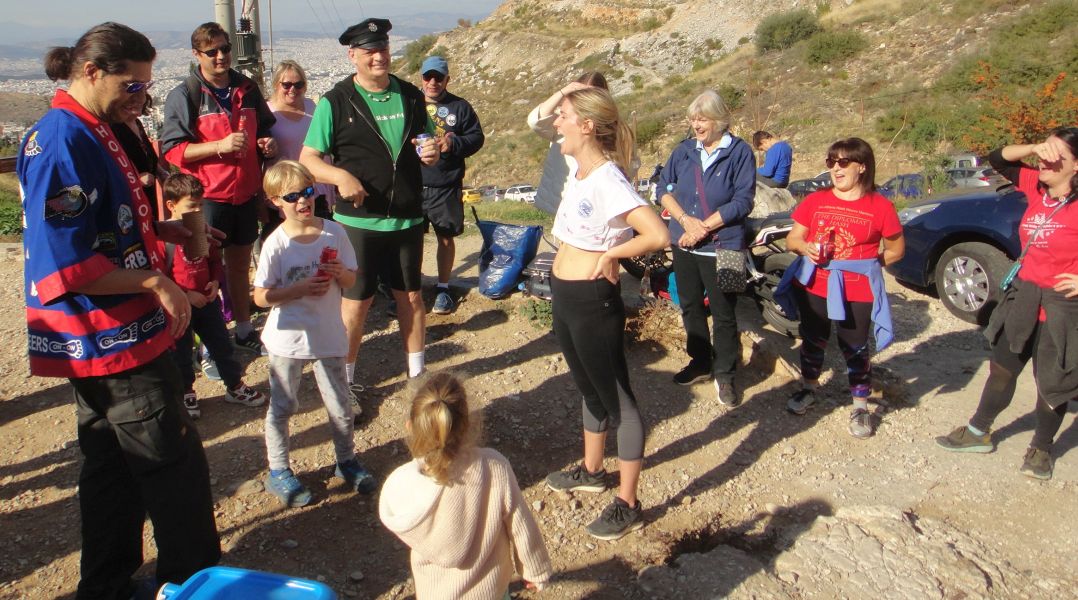
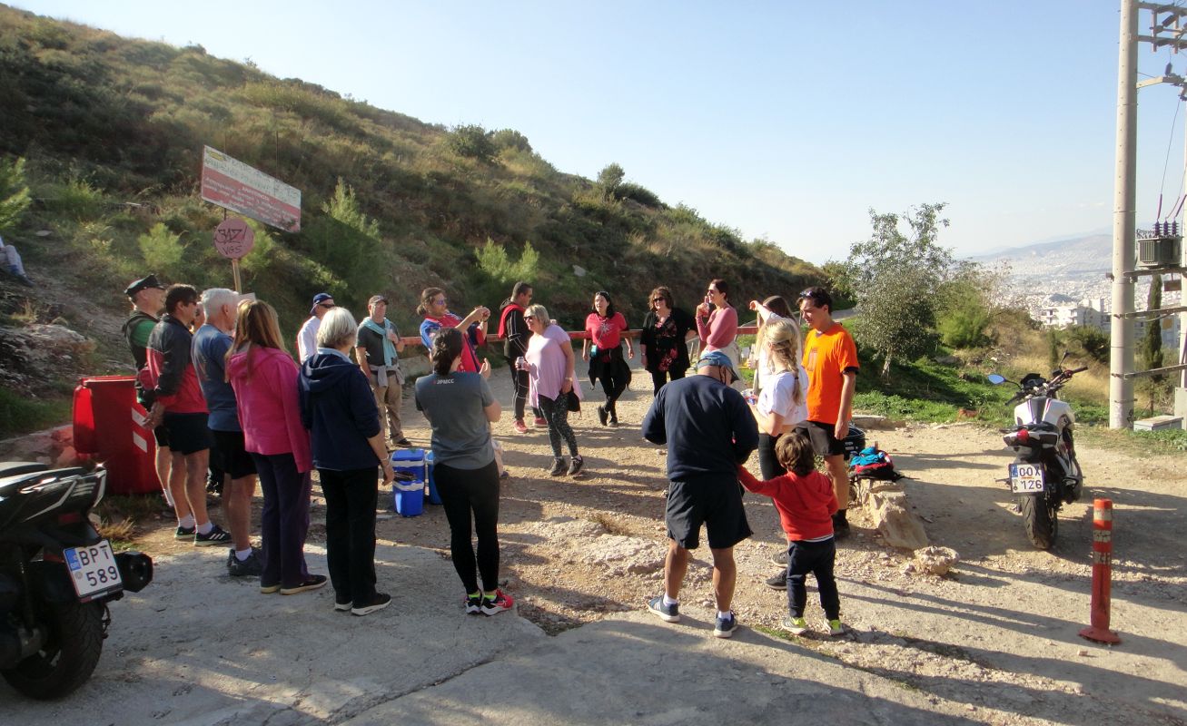
The St. John's monastery car park & start of the run and walk
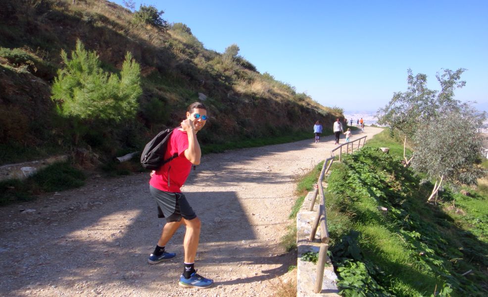
Tender Vittles sets off carrying the beer for the beer stop
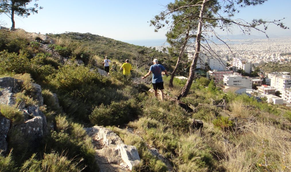
TV and Sebastian show the way down
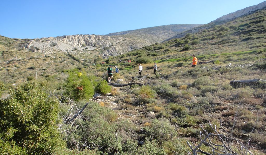
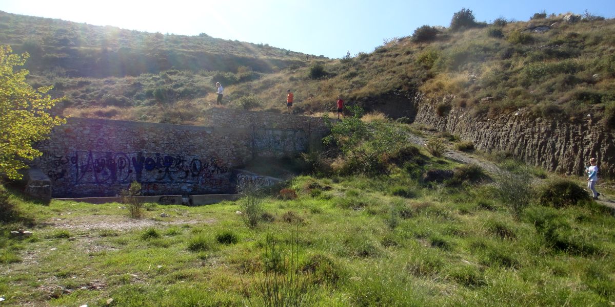
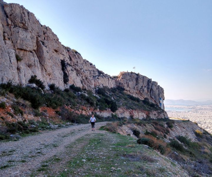
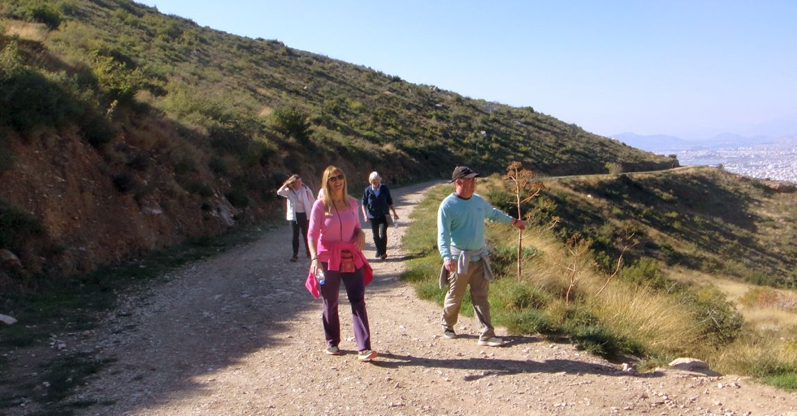
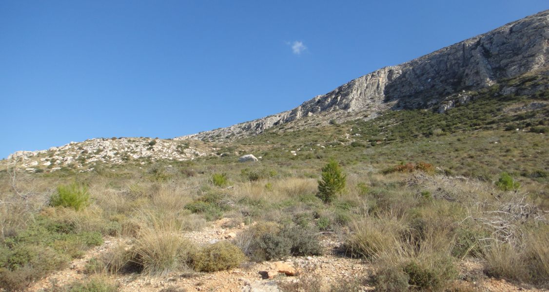
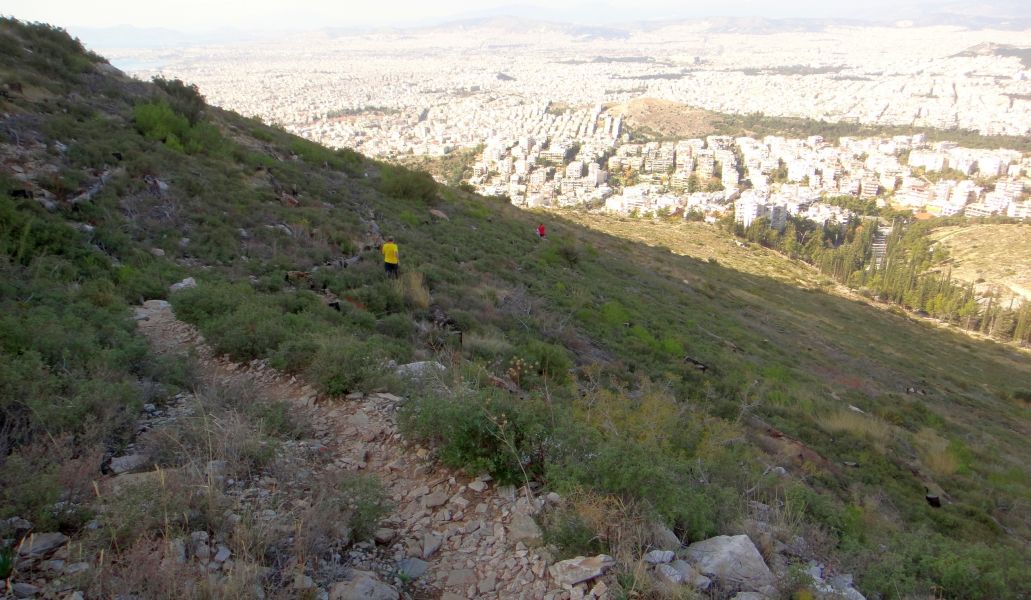
Runners walk down the mountainside through the undergrowth that sprang up after the forest fire burnt down the pine trees
Runners head down the slope
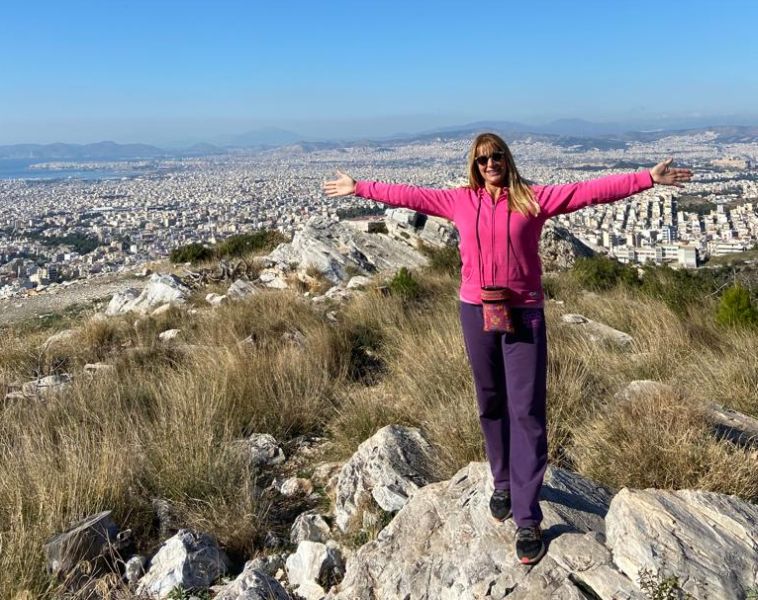
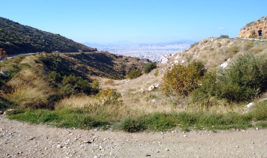
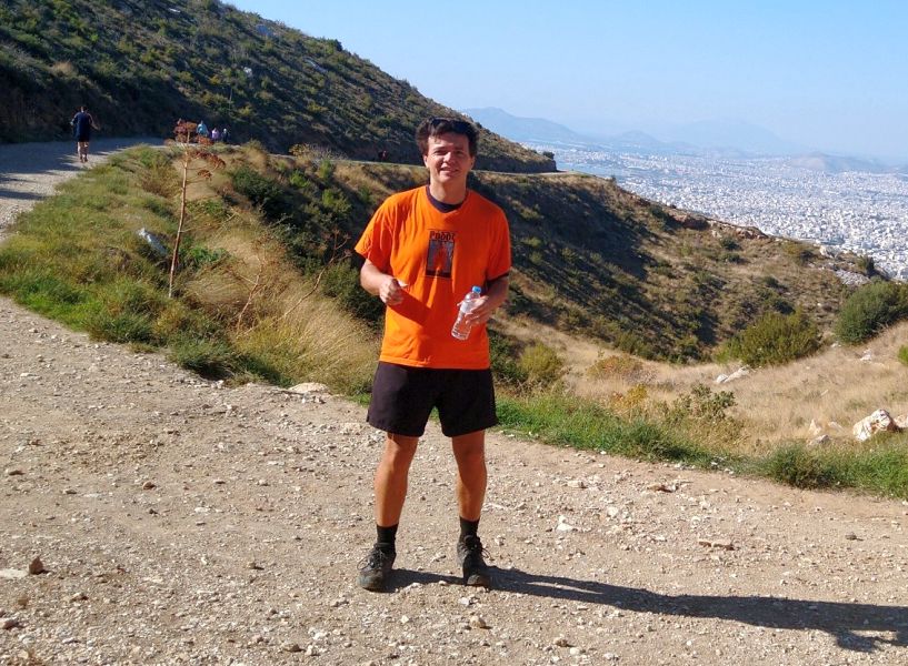
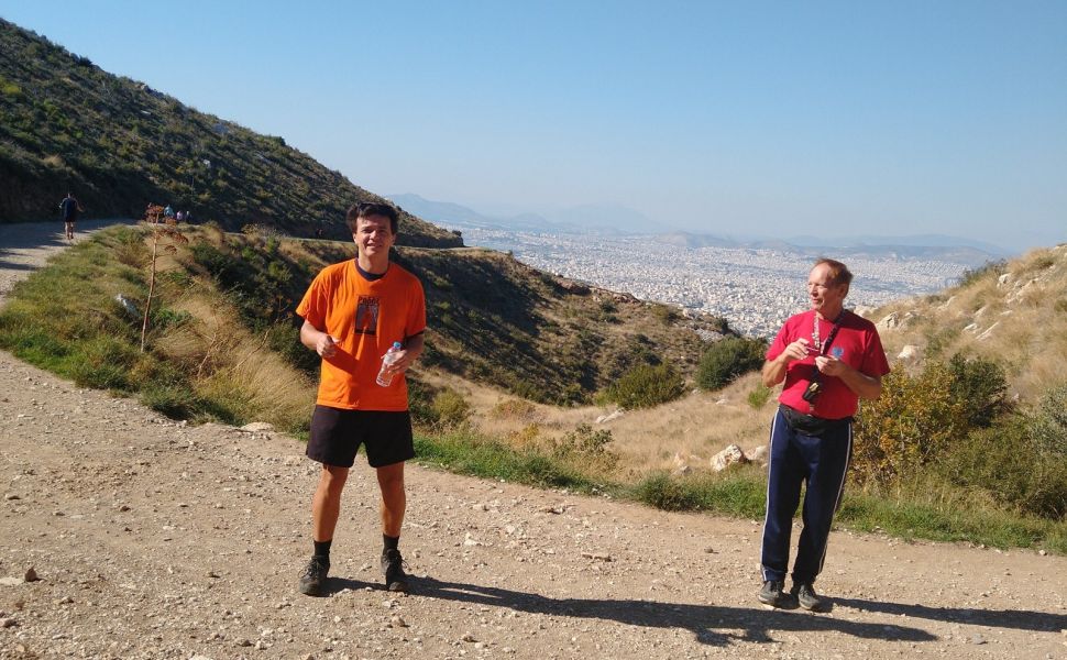
Meanwhile walkers higher up enjoy the view. CU Olga poses with a city background.
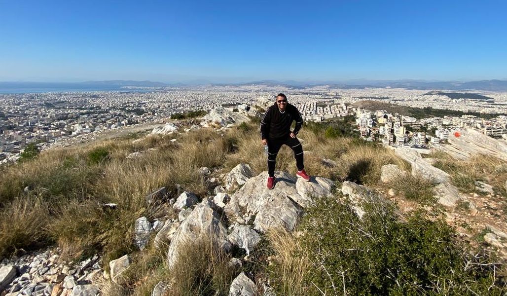
Ass Crack with a panoramic background
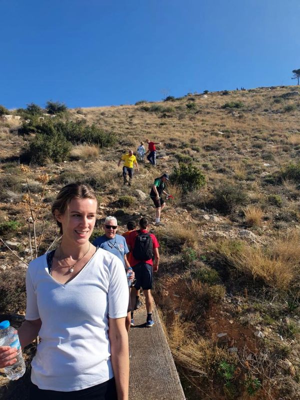
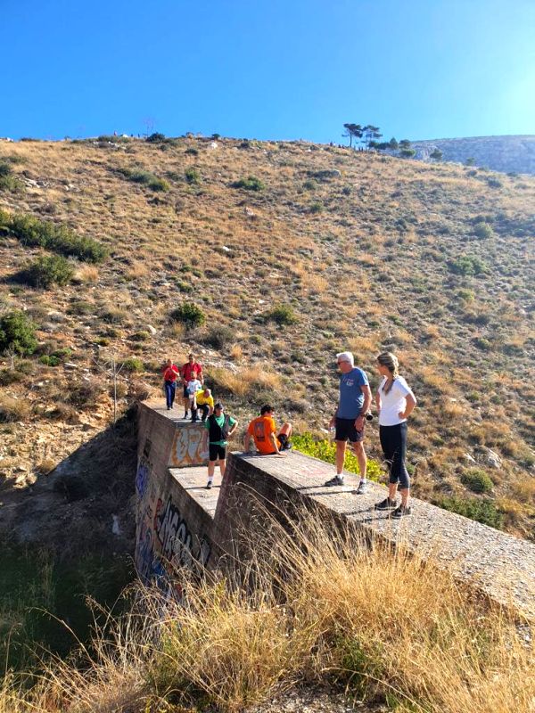
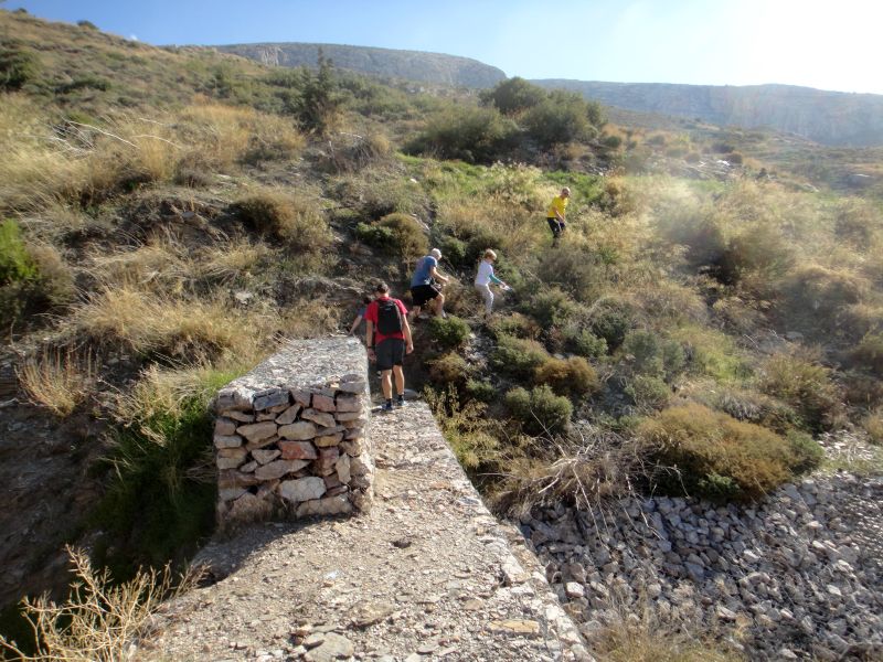
Meanwhile, runners walk onto the first check dam wall. CU Natalie in front.
Pussy basher is right behind.
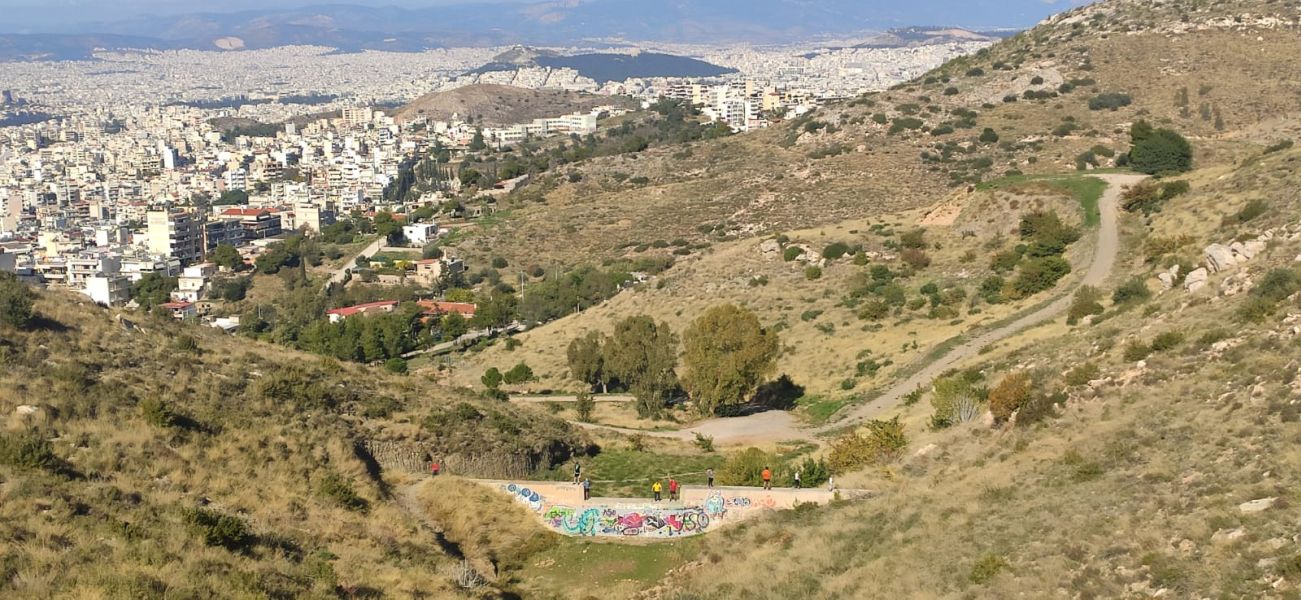
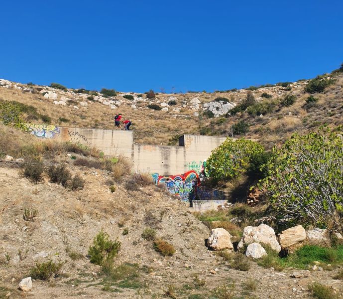
Ass Crack takes a photo of the runners crossing the first check dam from above
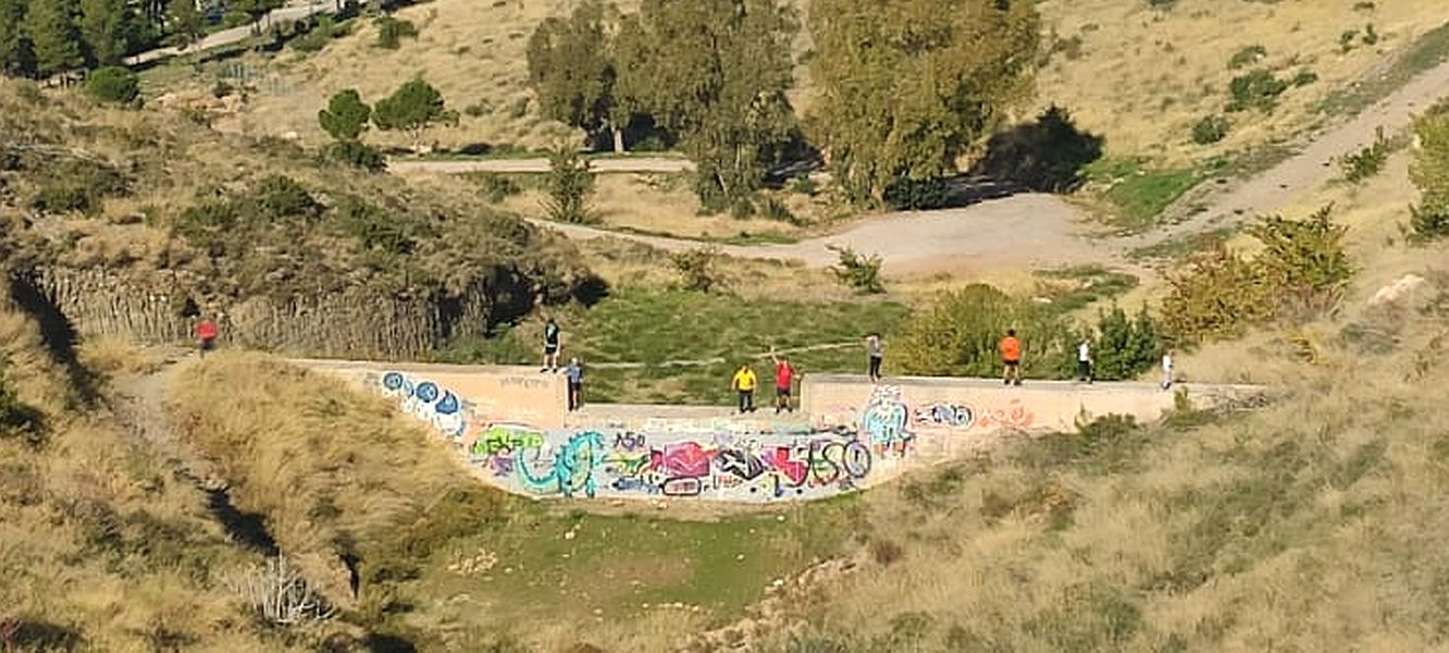
Enlarged view
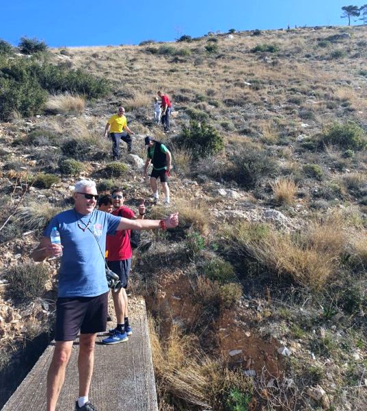
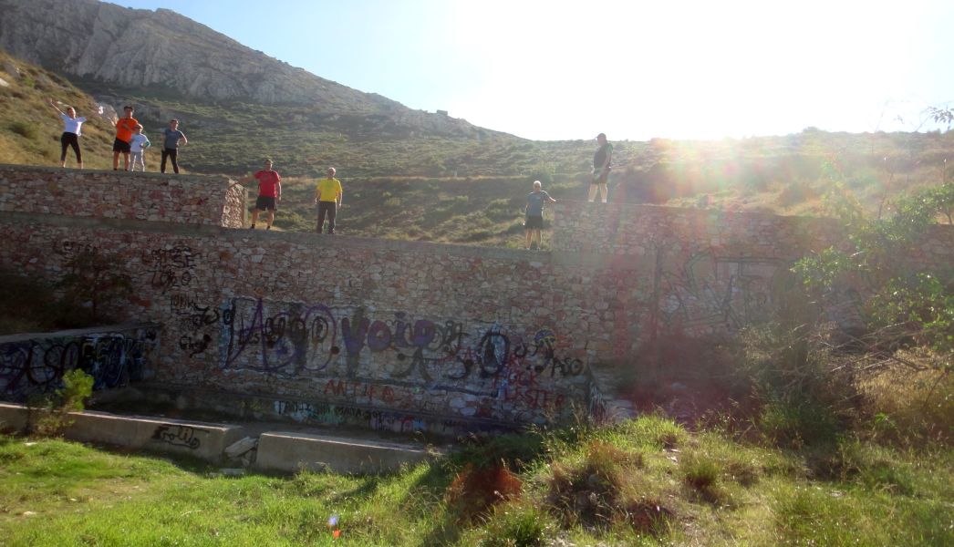
Get ready for a photo runners
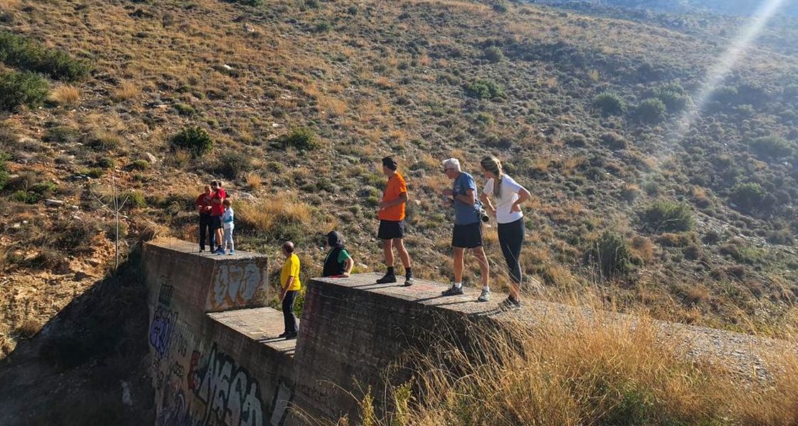
Come on then!
Yeah!
JOT gets with it too
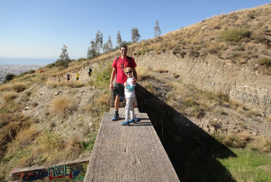
Tender Vittles prepares to help Sebastian across

"Come on down, Sevi"
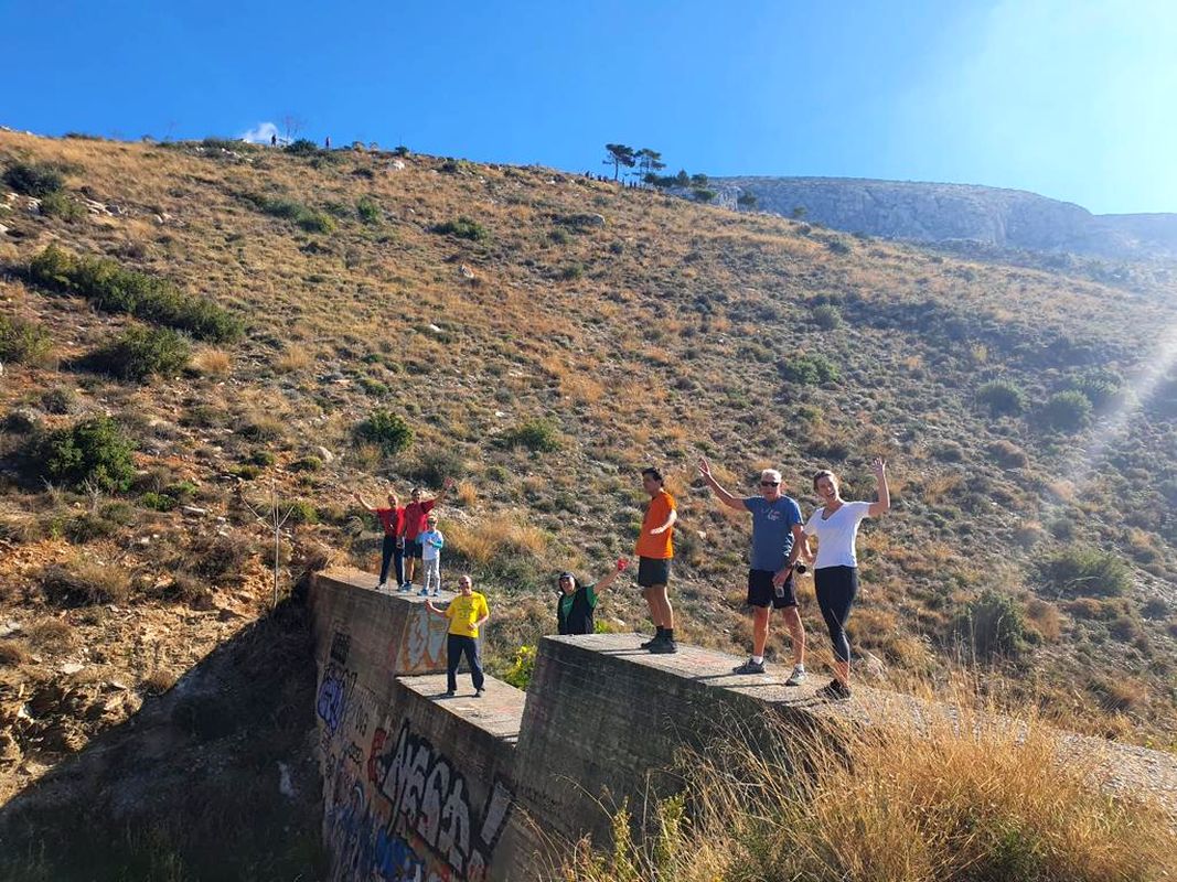
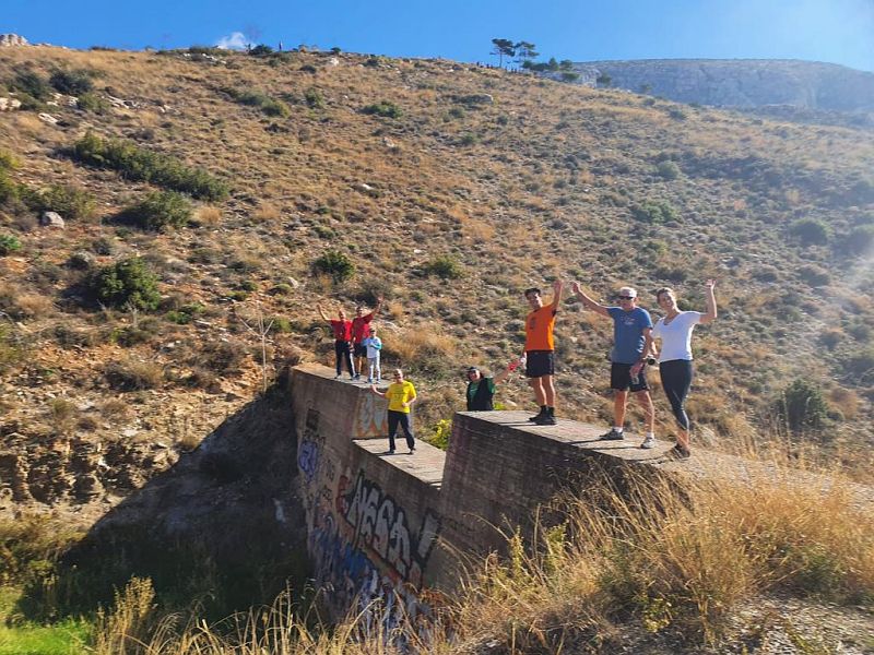
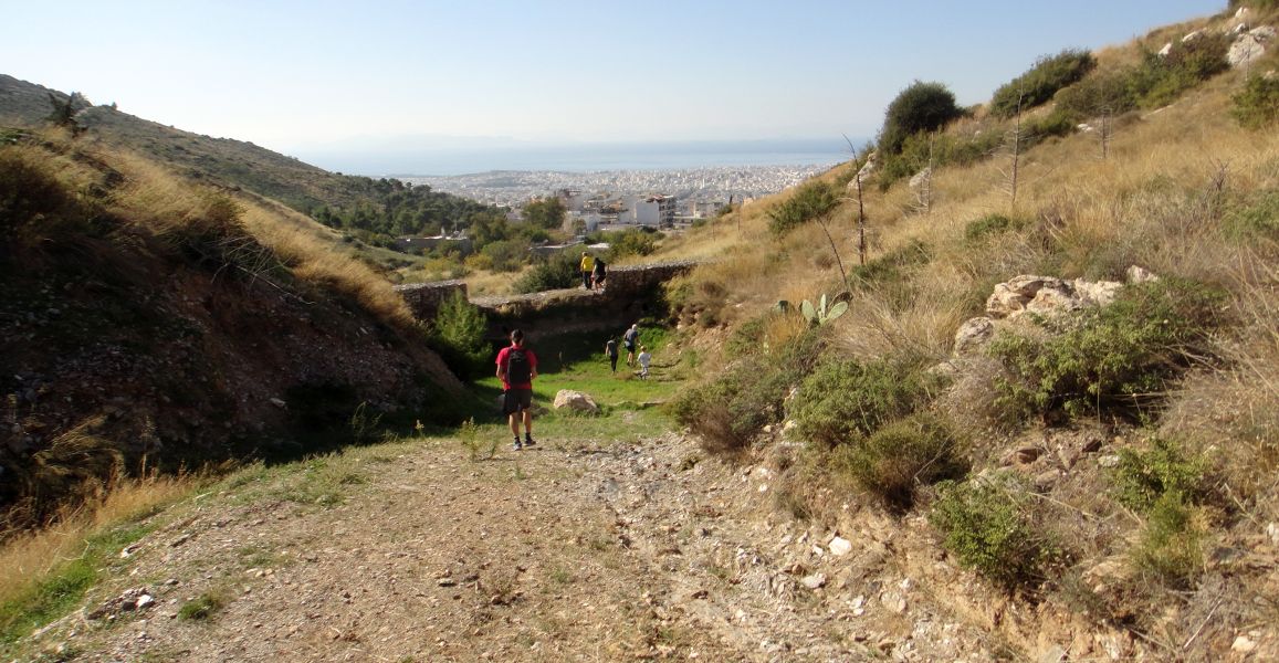
The first check dam from below
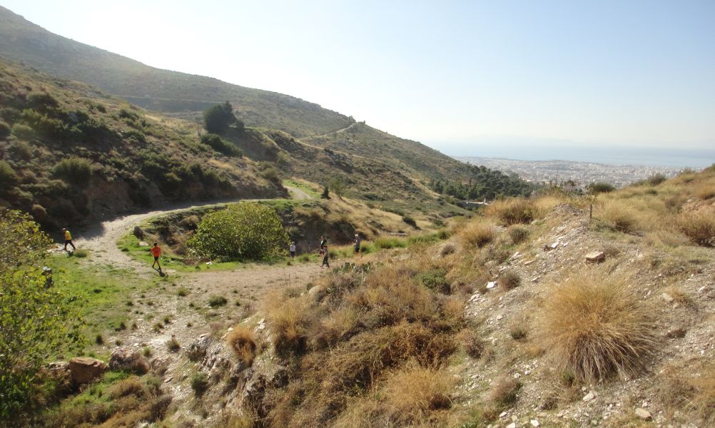
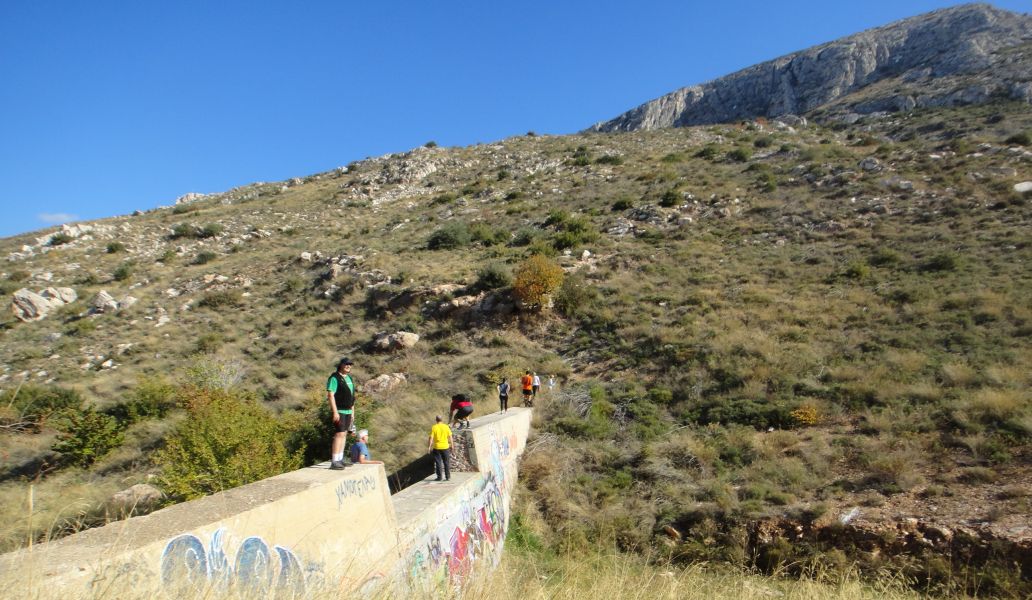
Heading to the second dam
This dam is constructed from cement and rocks
It's smaller and easier to cross
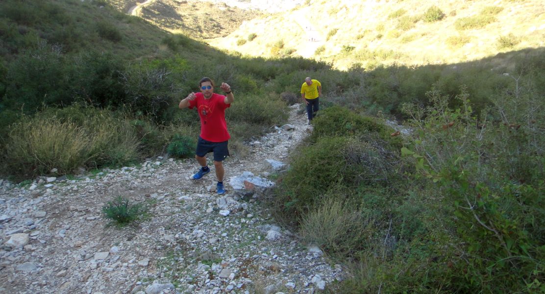
On on!
The runners pause for a photo taken by Tender Vittles
On on again
The third check dam is also of rock and cement constuction (there's a plentiful supply of rocks round here)
A pause for a photo
Interestingly, this dam has a concrete face on it's upstream side to protect the rock construction from erosion.
A steep path leads up to the main (and walker's) path from the monastery
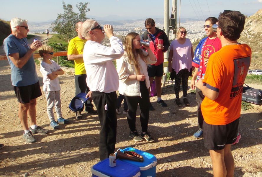
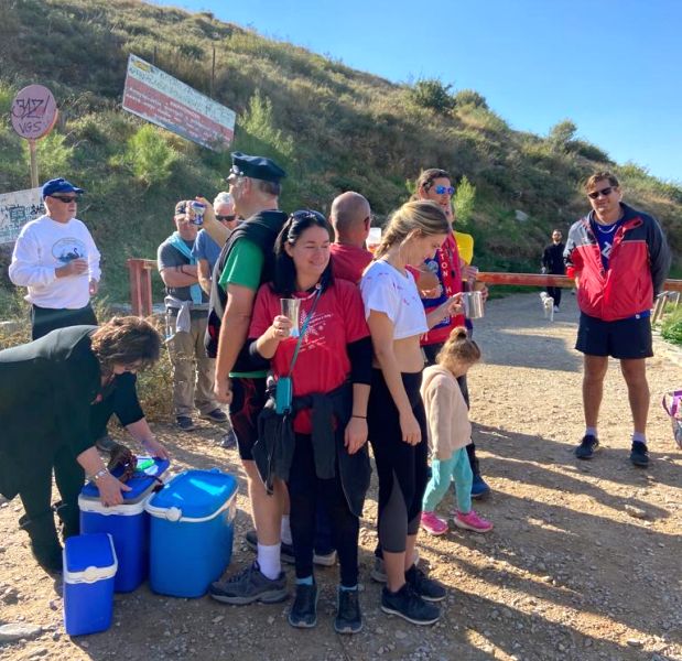
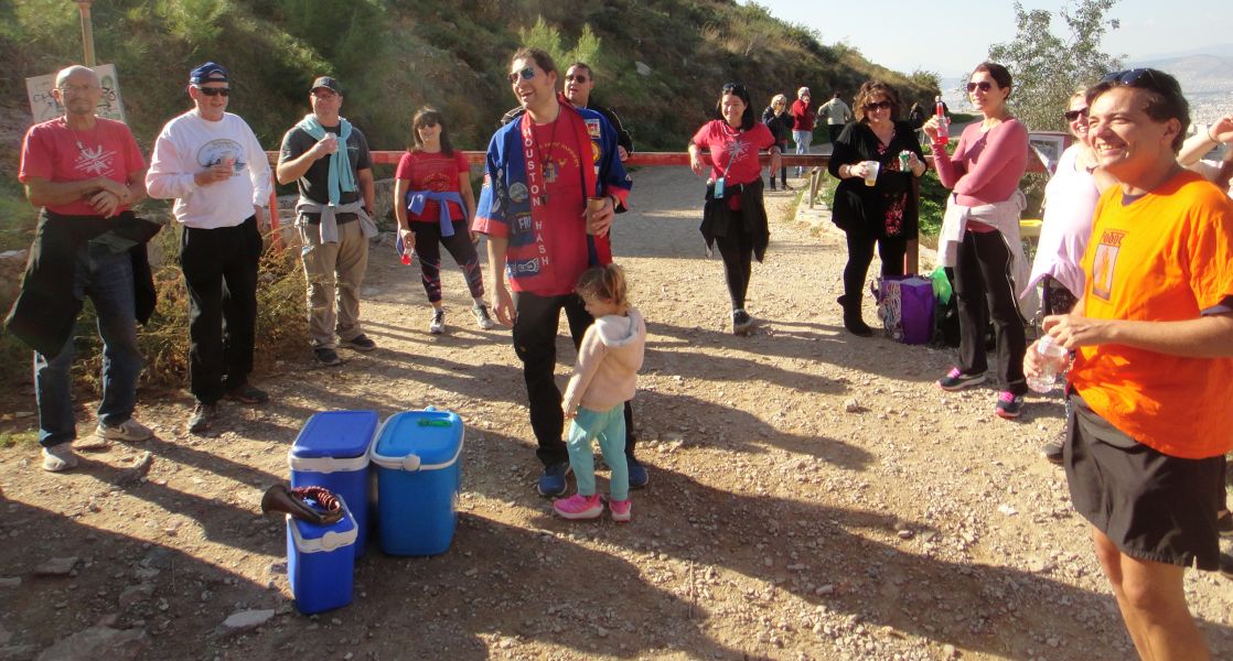
Come along Natalie, it's a beer stop
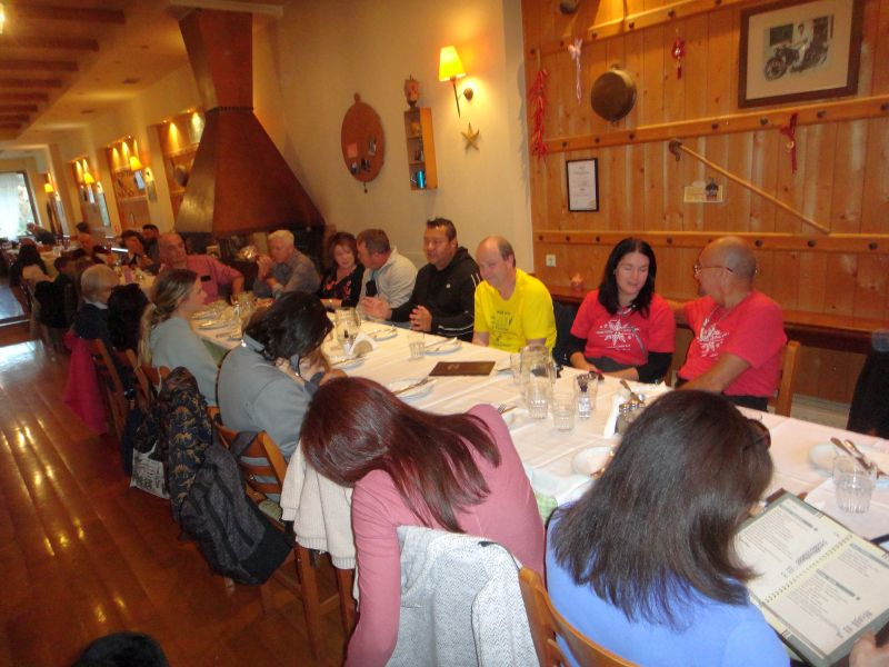
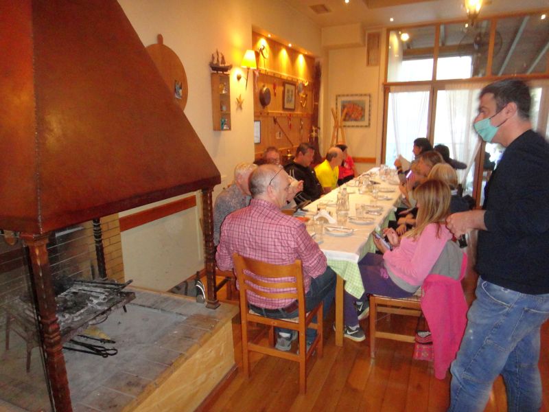
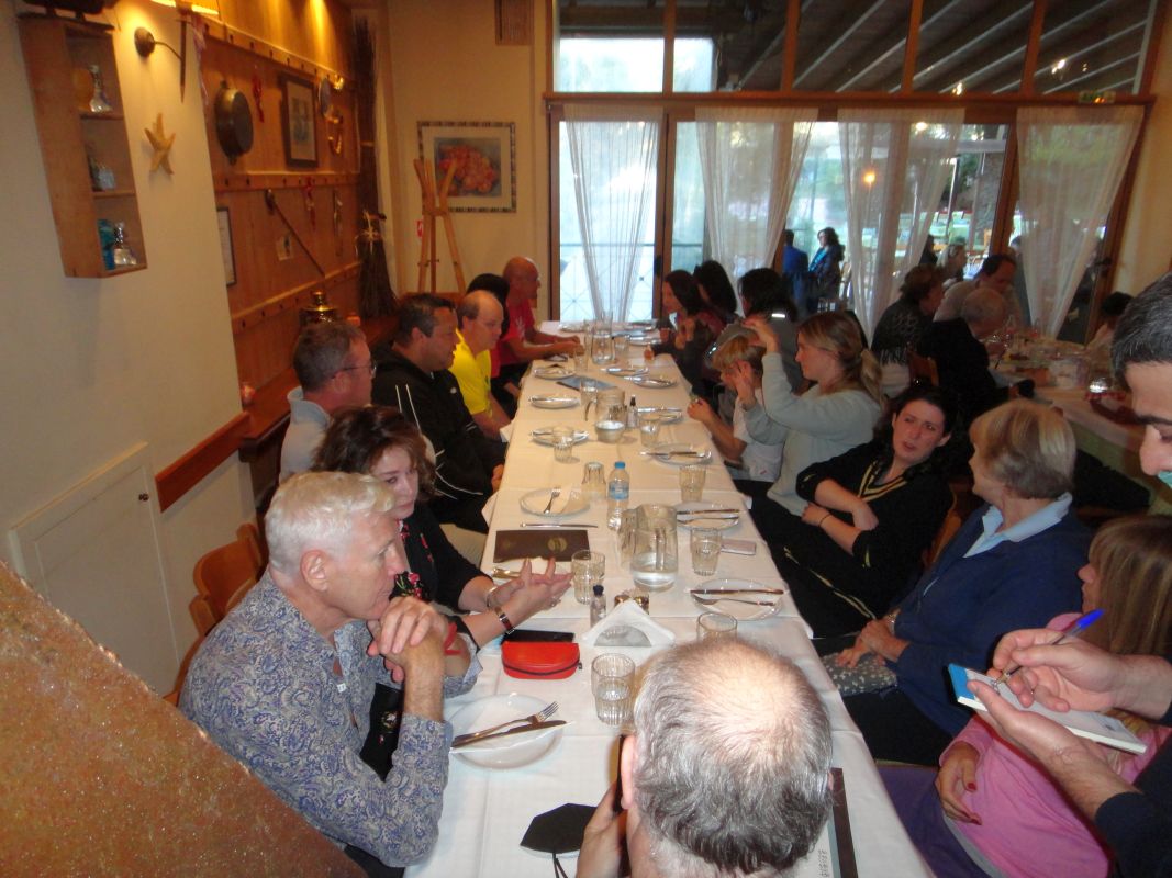
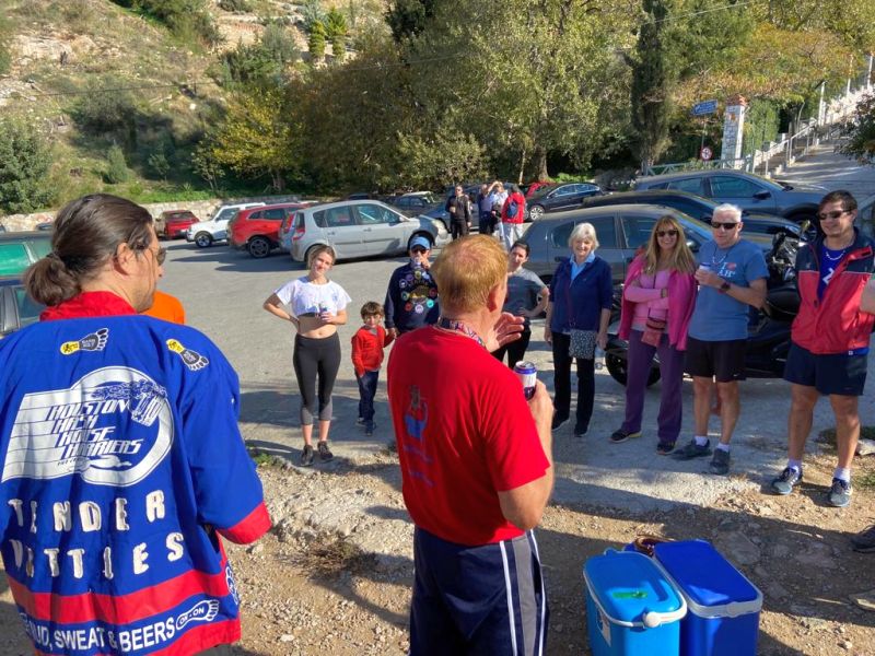
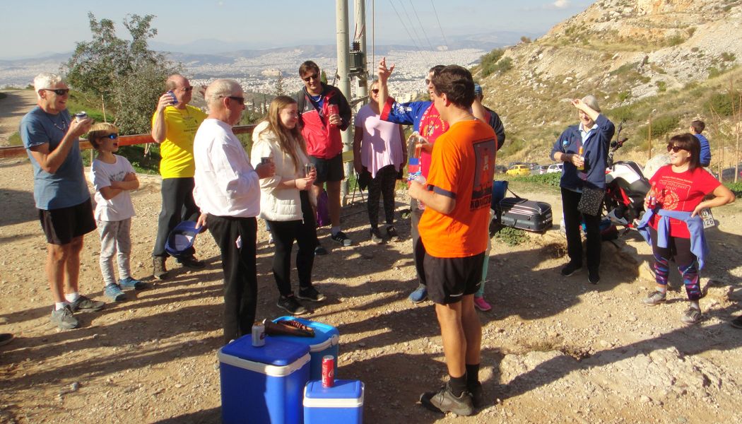
The main path and the beer stop
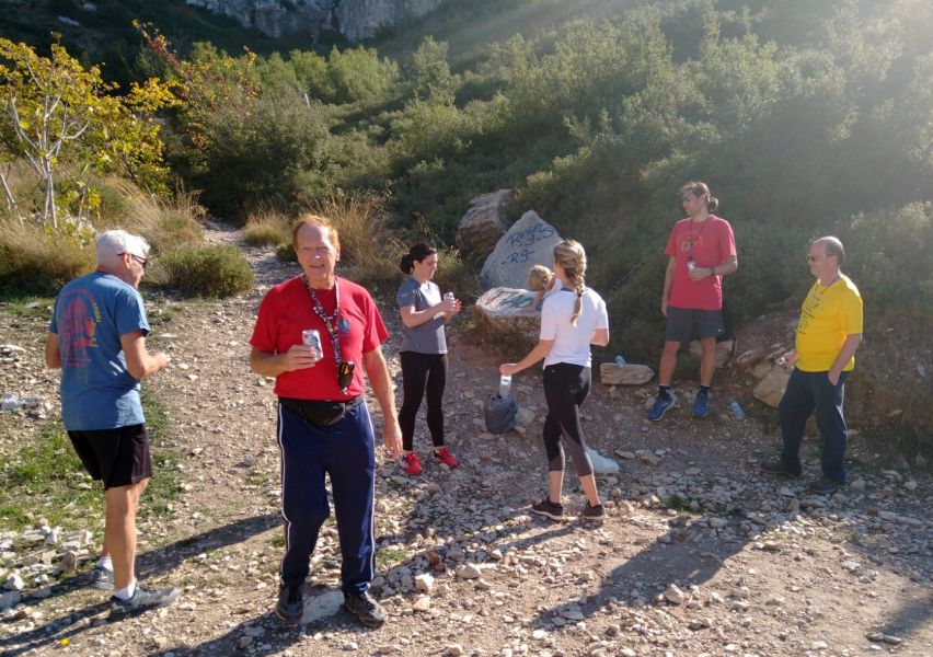
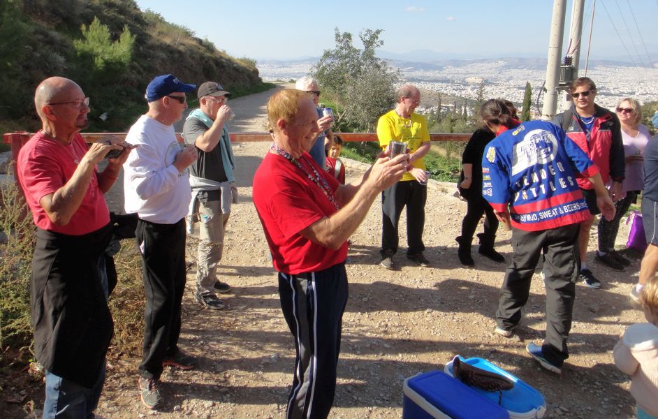
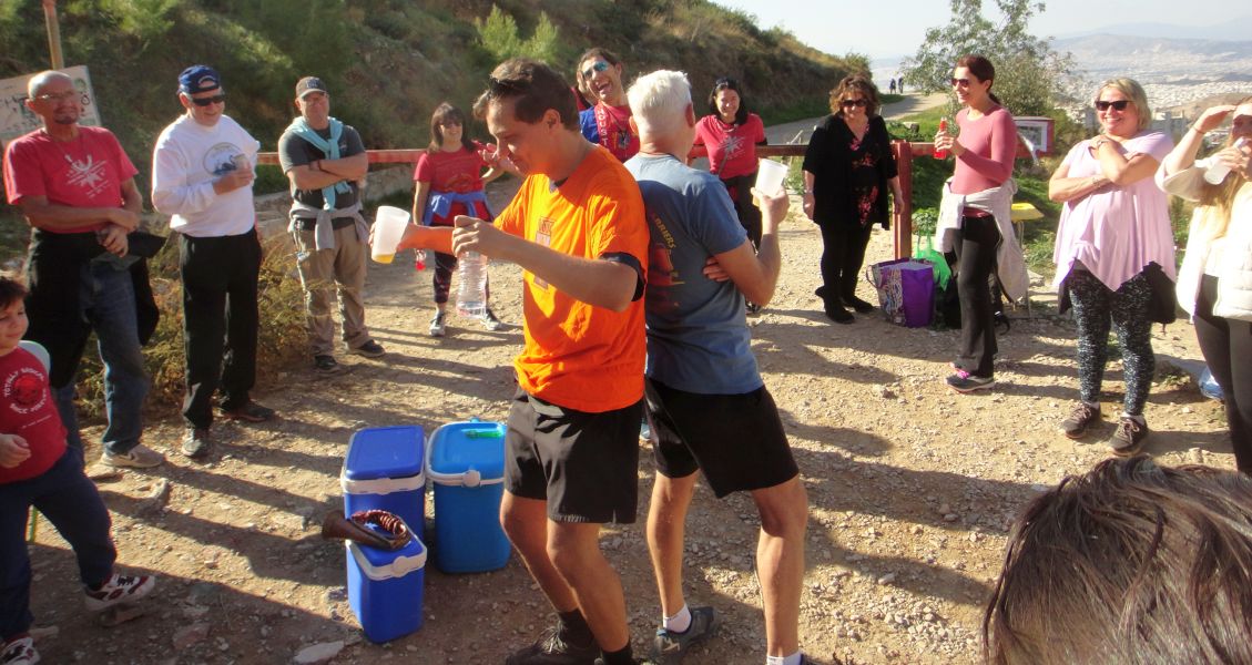
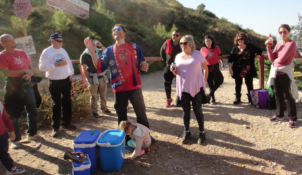
Fuelling-up for the second part of the run.
Jack of Trumps with a city background
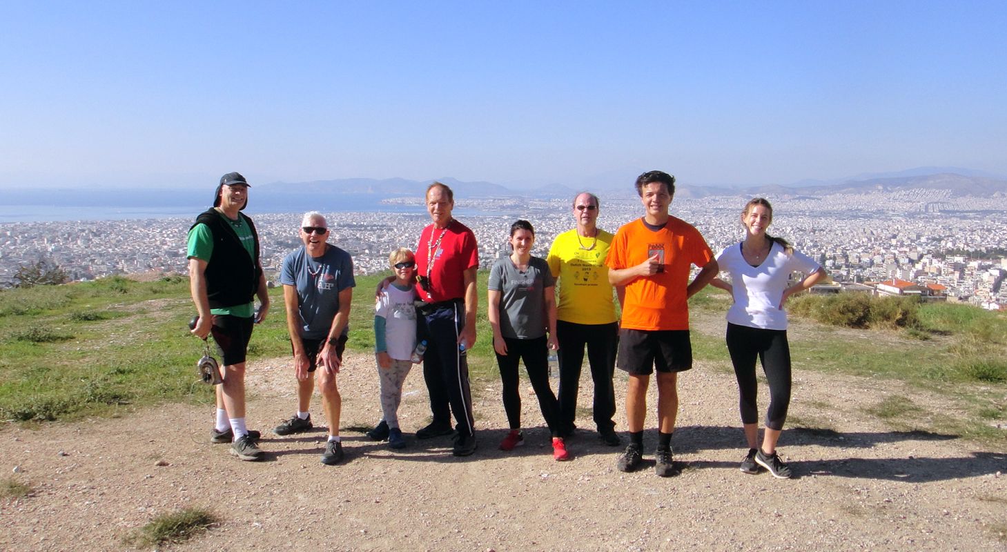
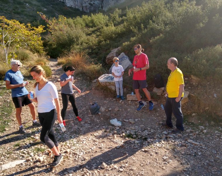
Mad Dog prepares his camera for a group photo
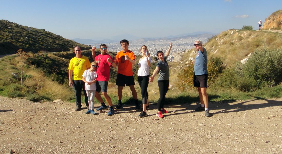
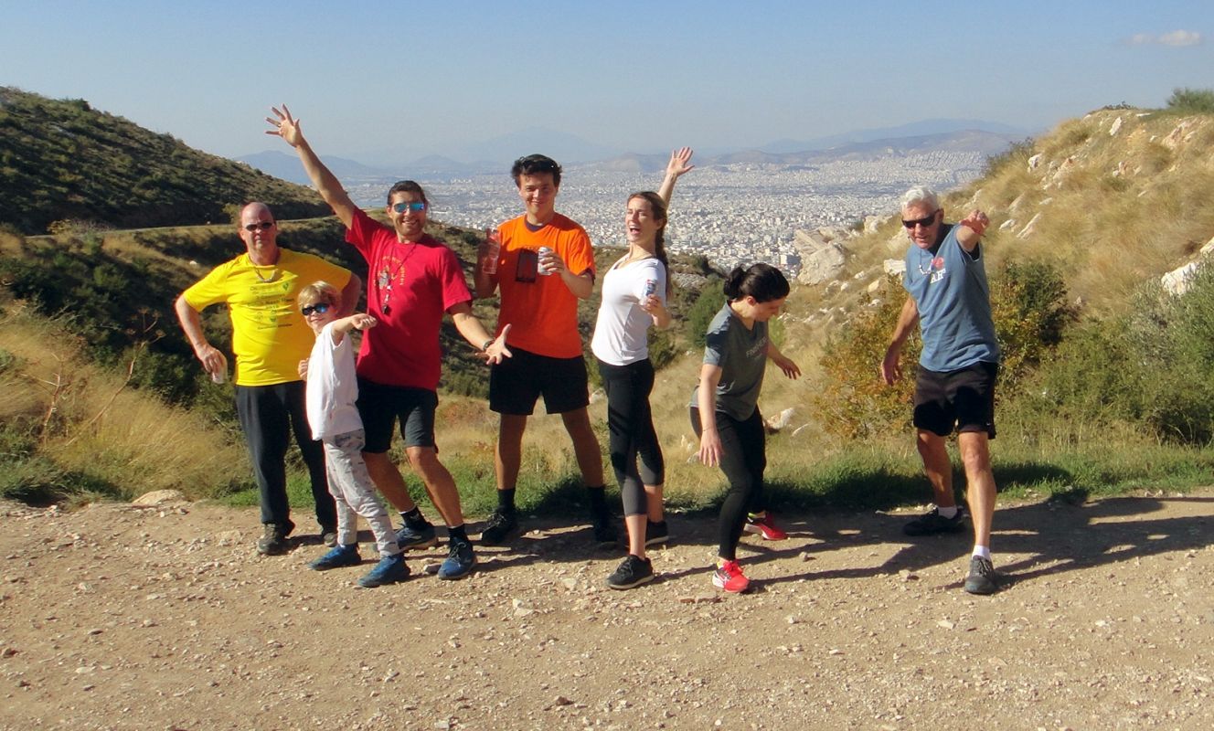
Some of the walkers join us at the right moment
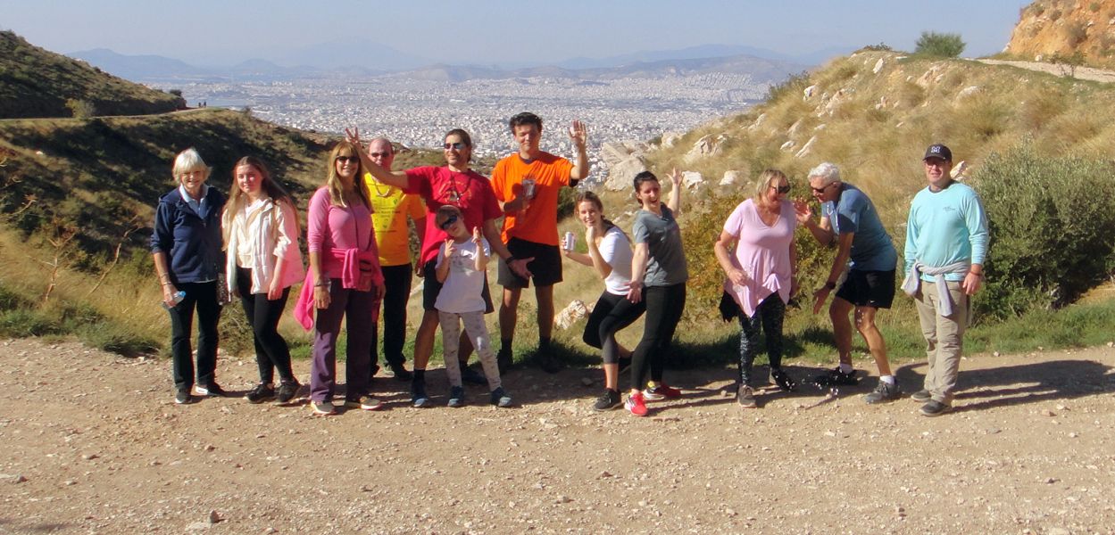
A combined walkers - runners group photo
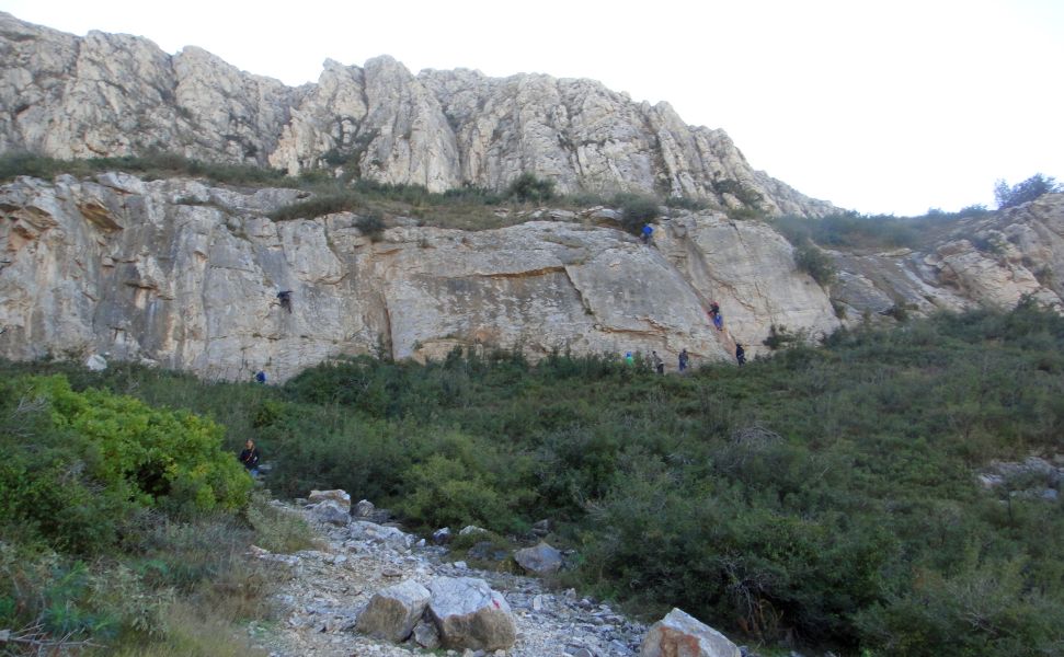
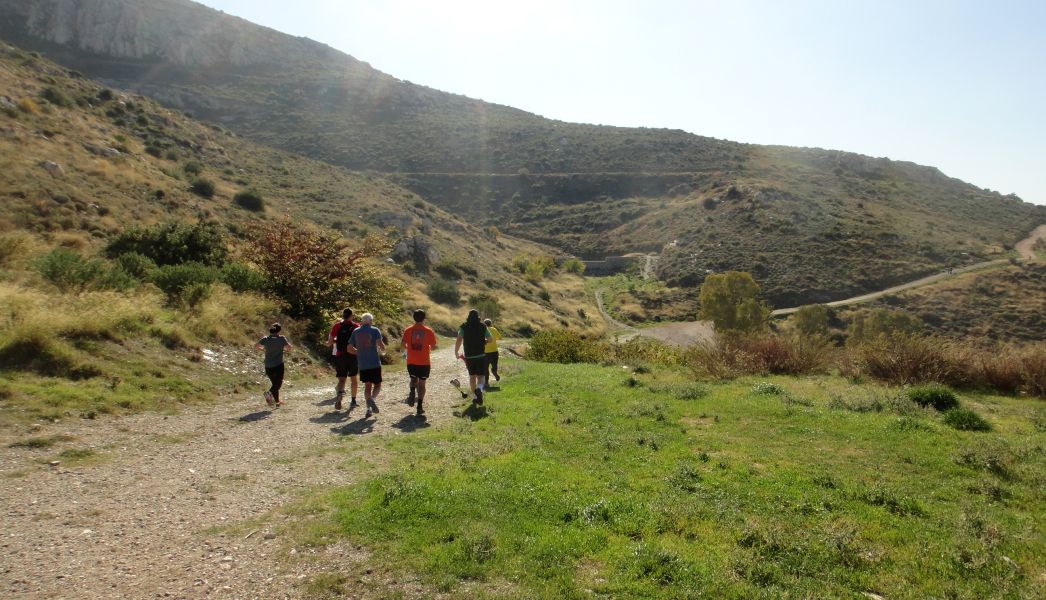
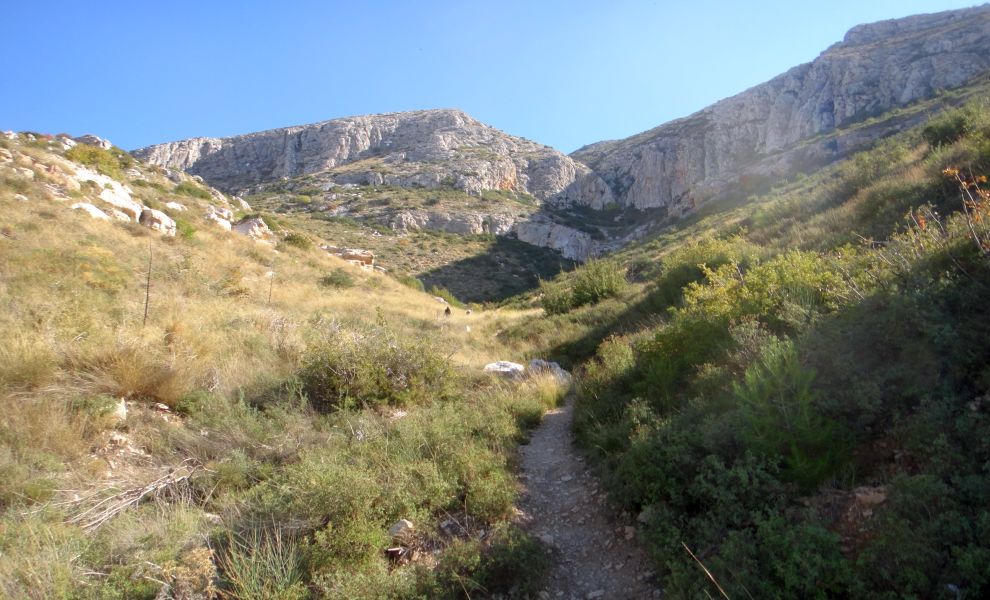
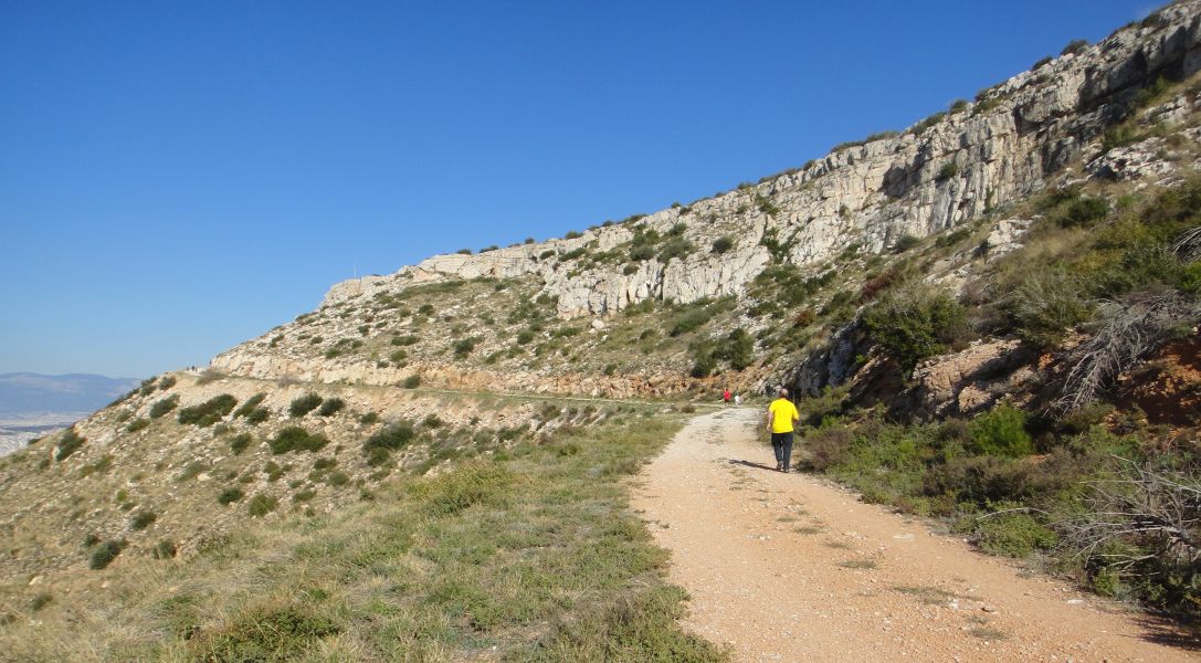
The trail continues up and up. Rock climbers can be seen on the right.
The newly elected RA and GM - Tender Vittles and Jacket Off
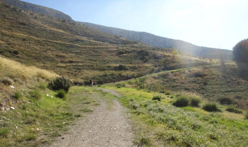
Higher and higher
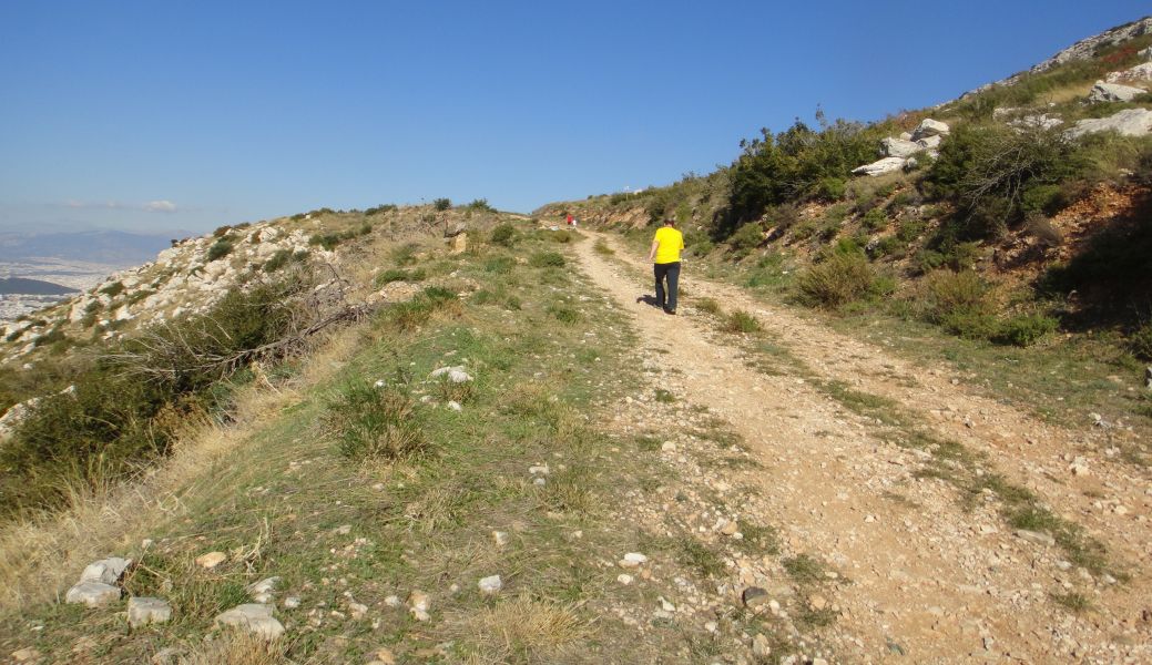
We reach a main pathway
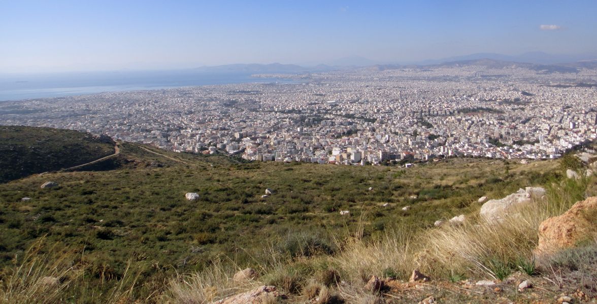
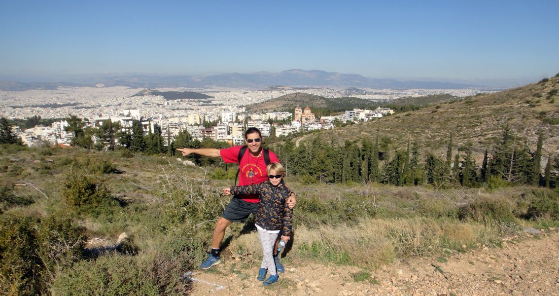
Splendid views from up here
High-up and heading back in the direction of the monastery

Jacket Off indicates the path down (Note the blue flour arrow)
On-Down!
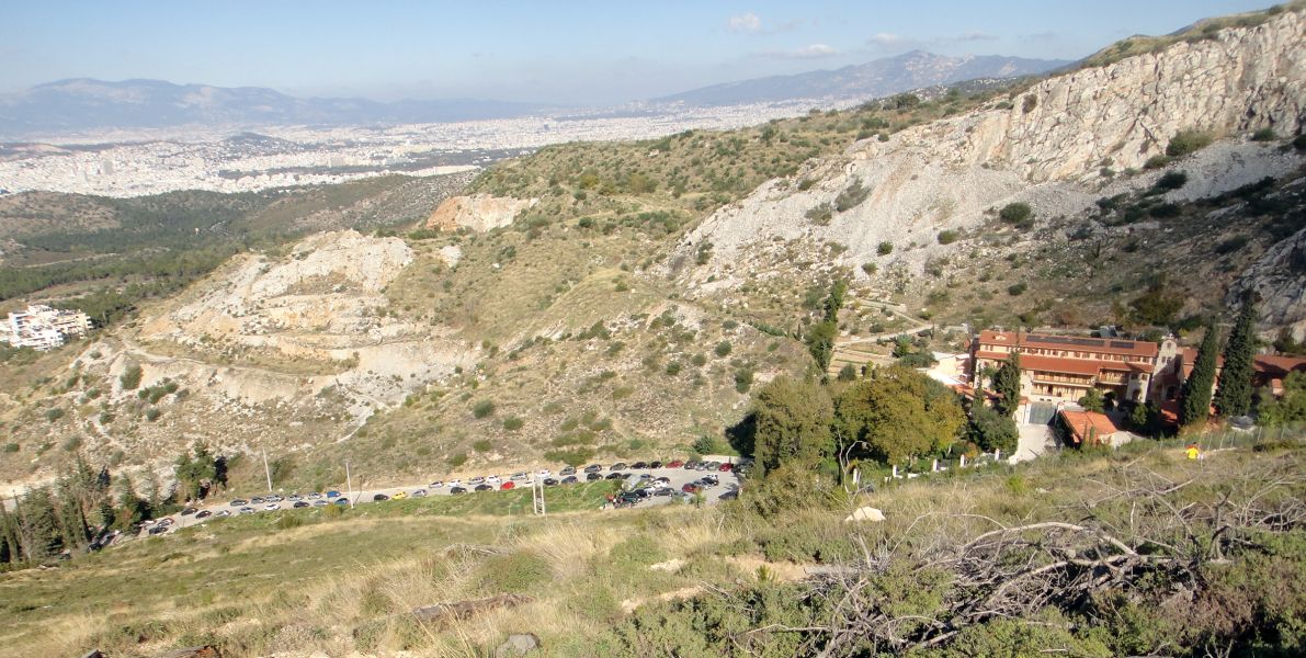
St. John's monastery comes into view
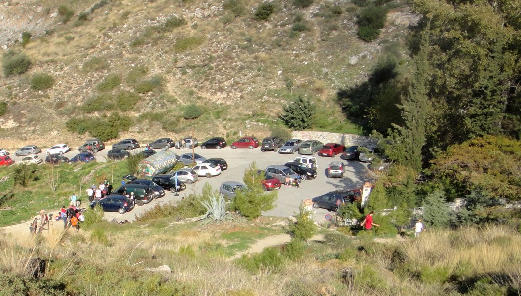
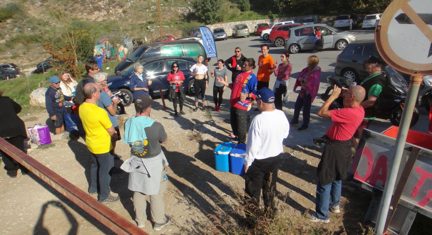
The car park. The
hashers are gathering by the gate.
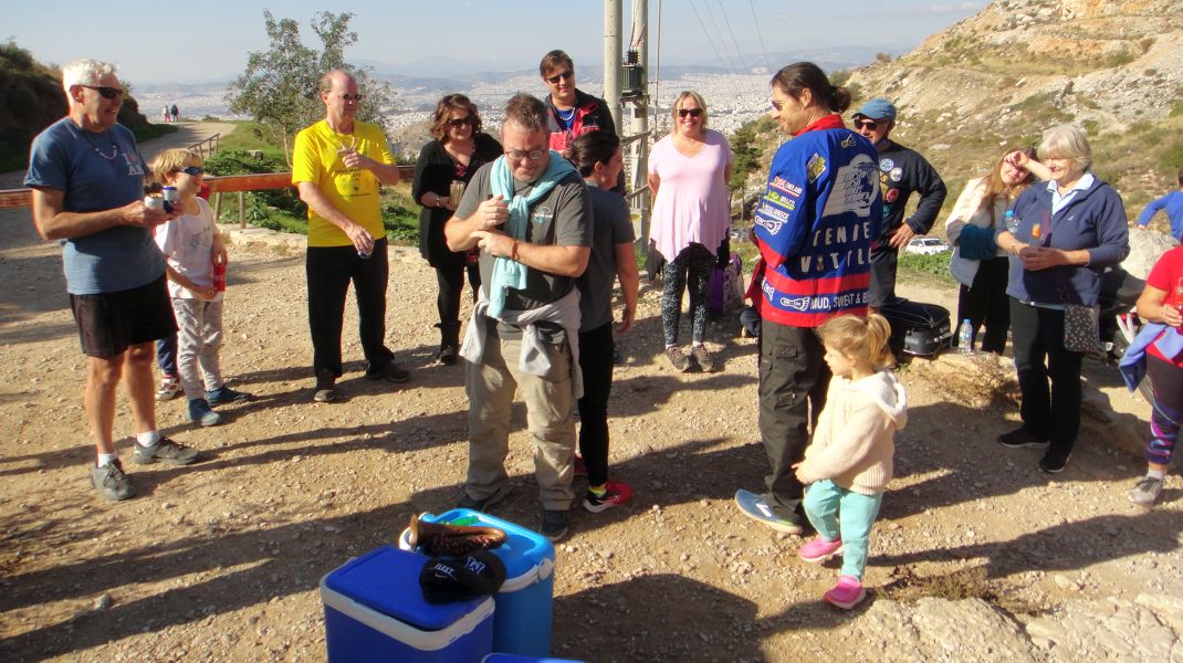
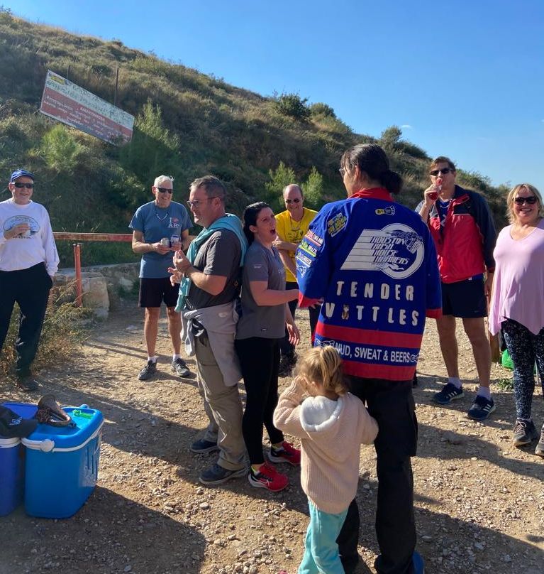
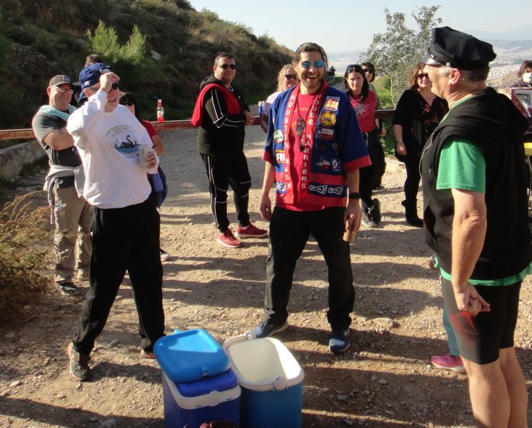
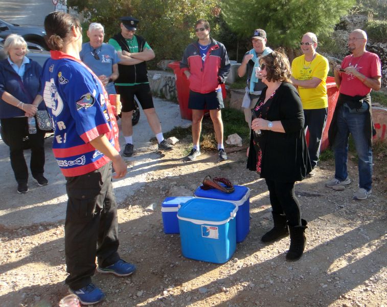
THE CIRCLE
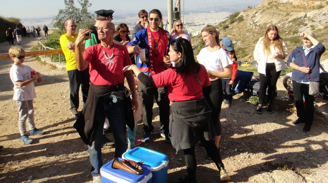
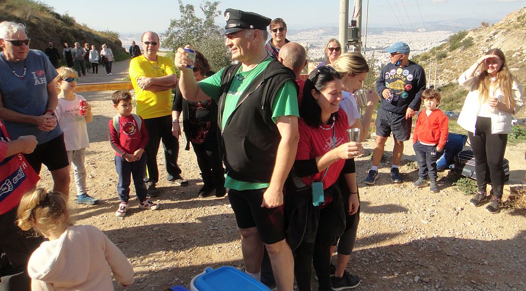
The new RA Tender Vittles opens the circle
The hare Mad Dog checks his down-down tankard to see if its the one with the hole
A hash joke from Mad Dog
Visitors are welcomed (Sophie is Natalie's friend from the channel island of Jersey)
Sophie
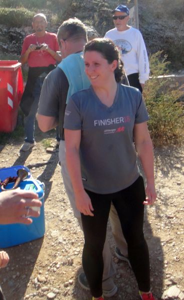
Returnees Strawberry4Skin and Alice
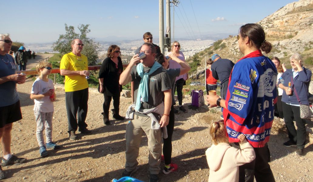
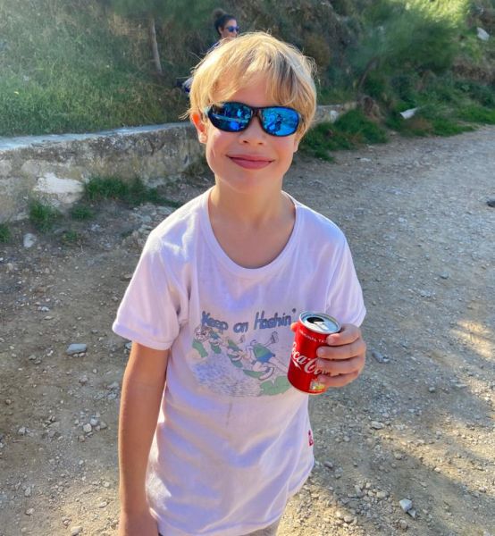
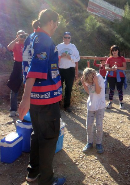
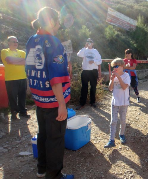
Sebastian gets a coca cola down-down (his sunday treat)
Little sister Violet looks on
Group down-down
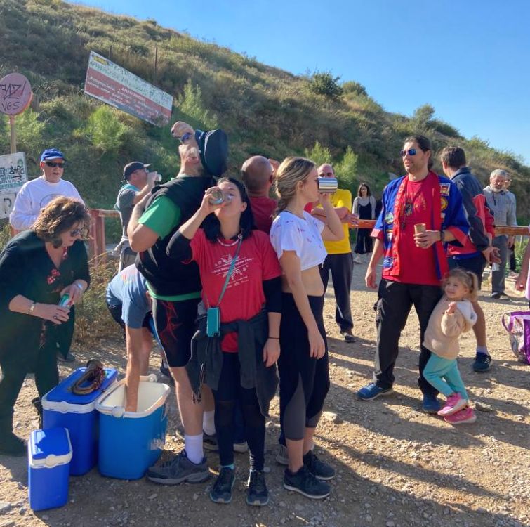
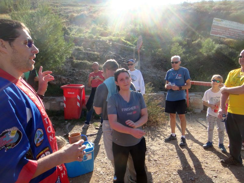
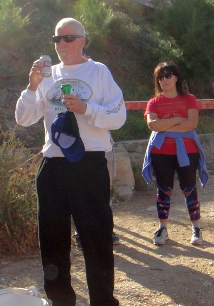
RA gets a down-down
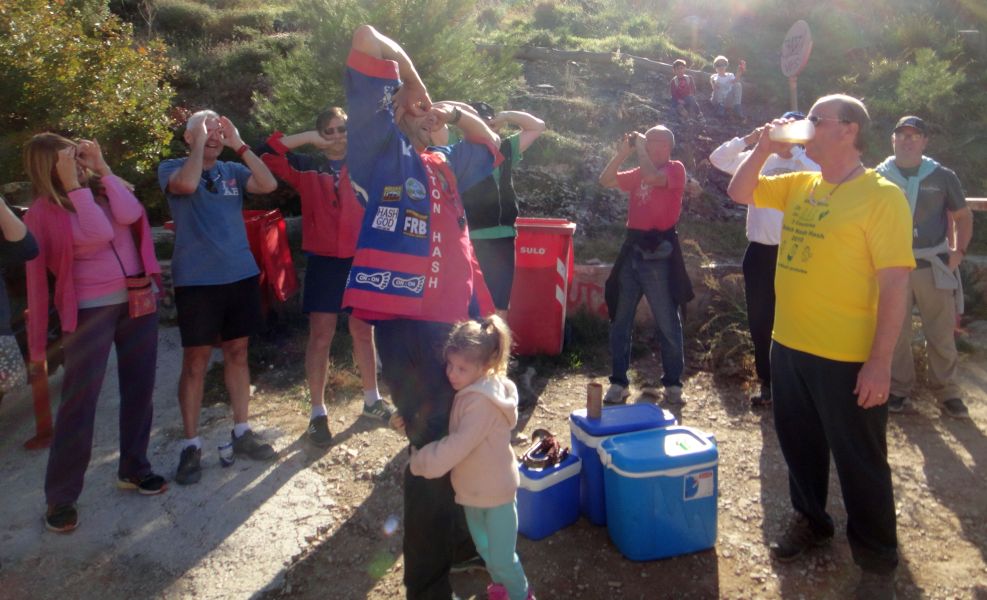
Jacket Off gets the flying club song to accompany his beer (he fell on the trail)
Jack of Trumps and Pussy Basher
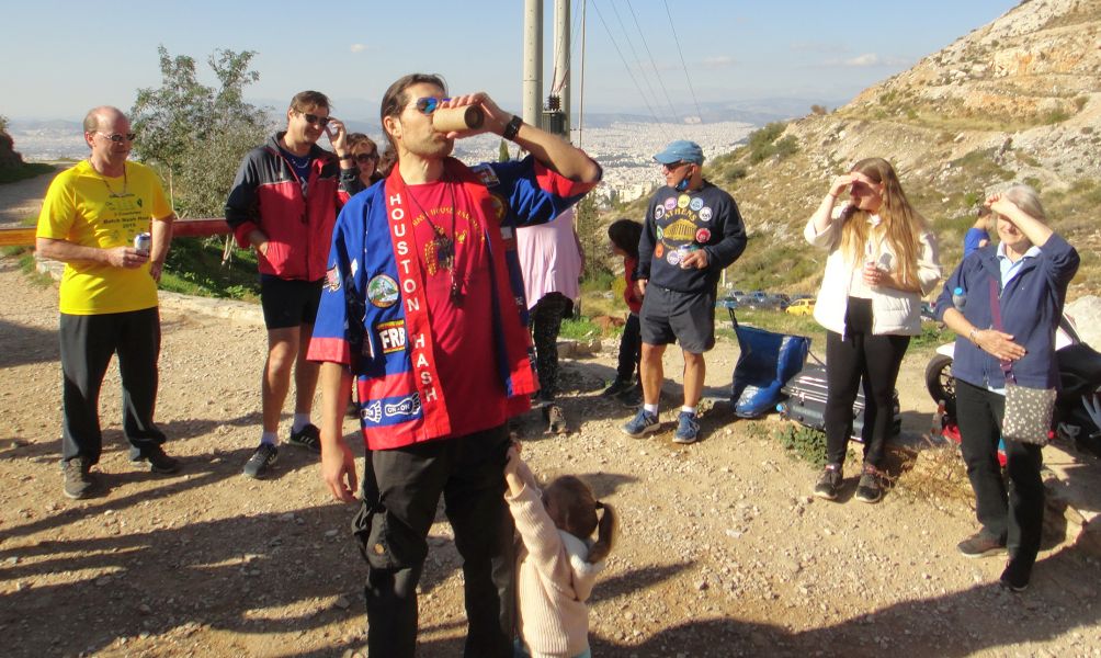
Coke Dealer gets a special RA song (TV hits a high note here)
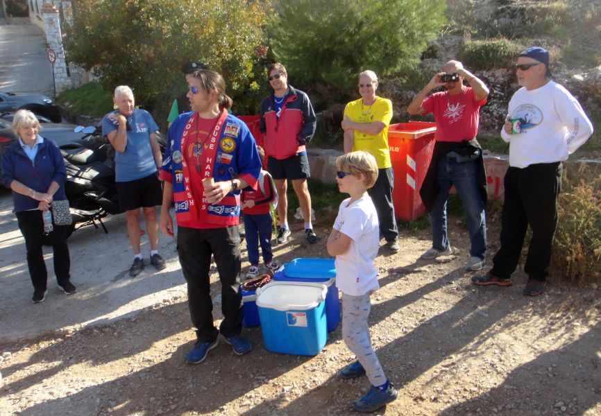
A view of the circle. Good turnout today.
Strawberry4Skin is called in
Two cans of beer at once
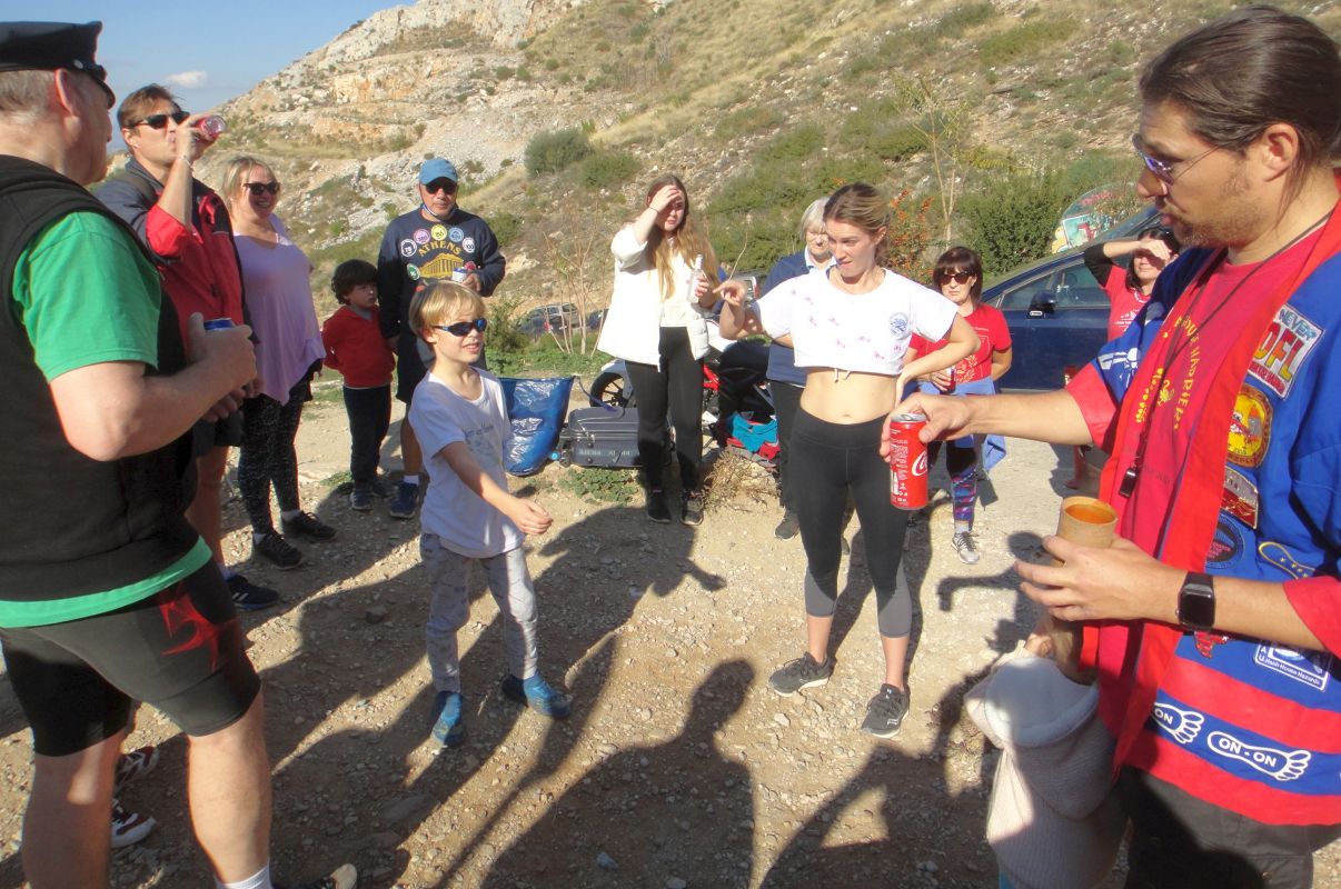
CU Sebastian is to be named. Any suggestions from the circle?
From
henceforth you will be known as .....
(meanwhile getting beer flicked on him).....
"Coke Alone"
(A mix of Coca Cola and the film Home Alone)
Welcome Coke Alone
Wet Dream in the circle
VIDEO