View from the Old High Trail
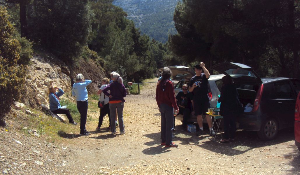
Start: THE OLD HIGH TRAIL - PARKING AREA
GPS: 37.967621, 23.802848
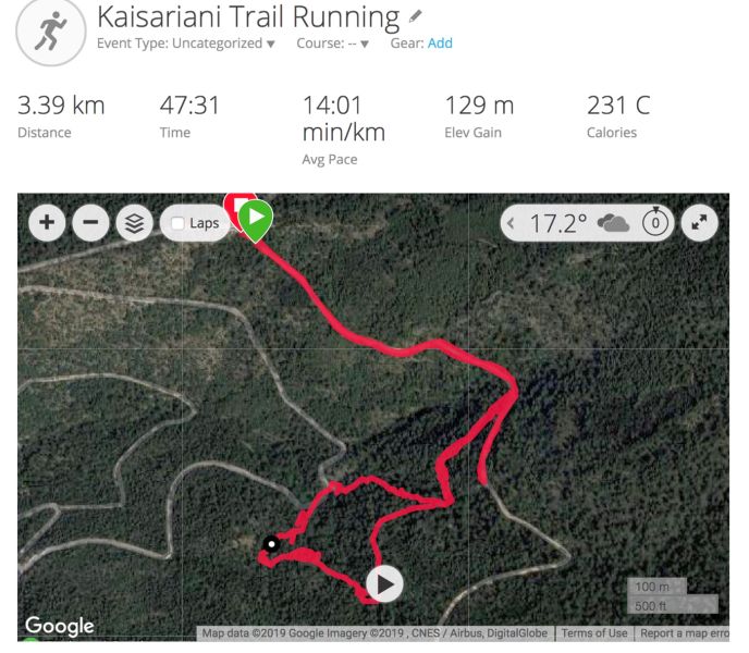
Pussy Basher's recording of the run
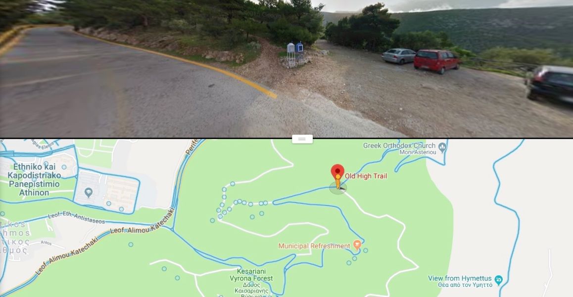
The location of the Old High Trail parking area
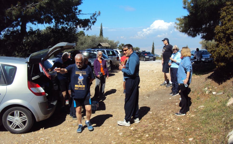
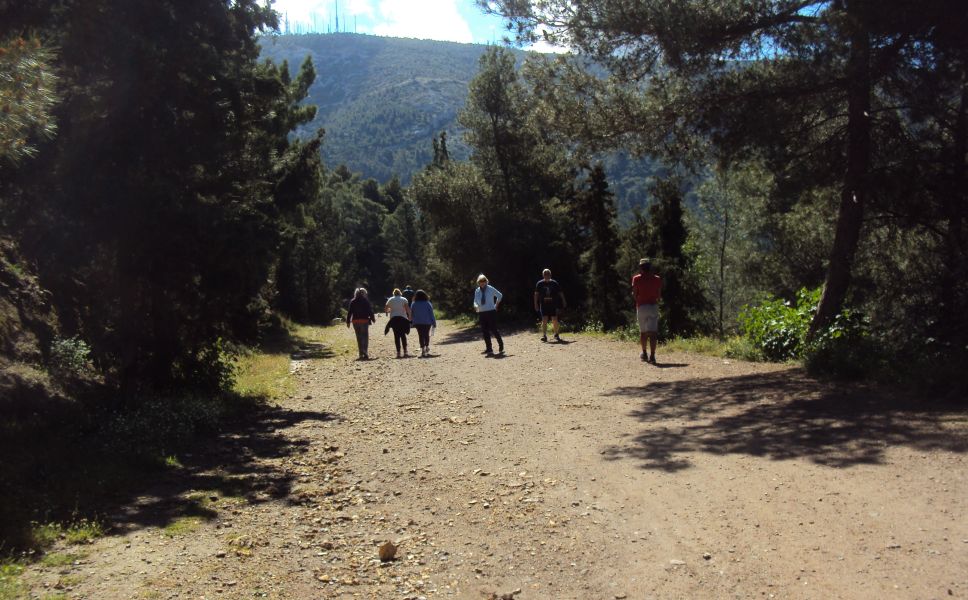
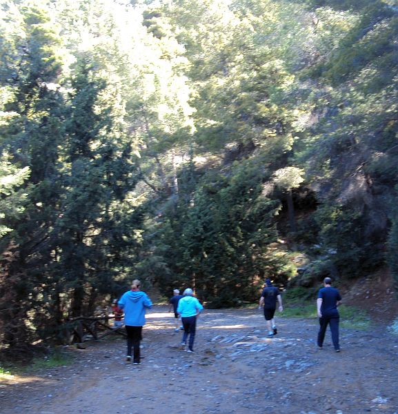
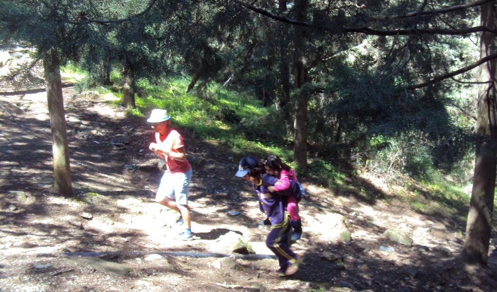
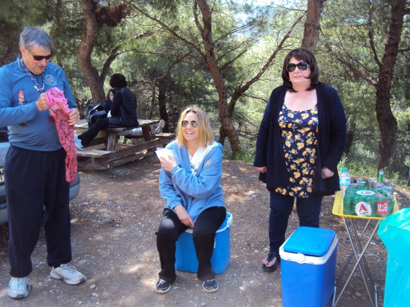
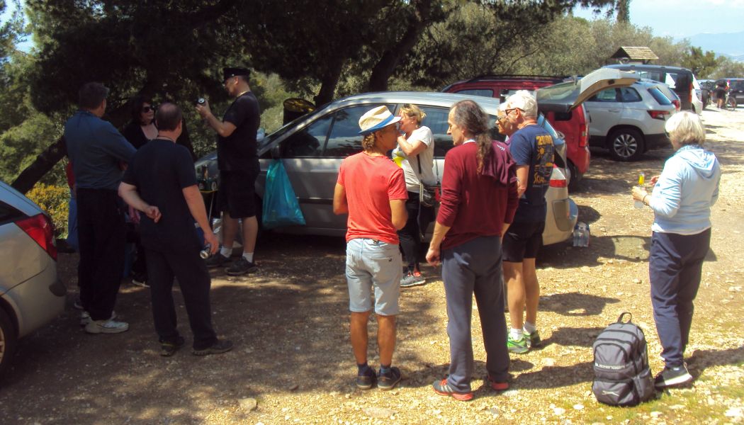
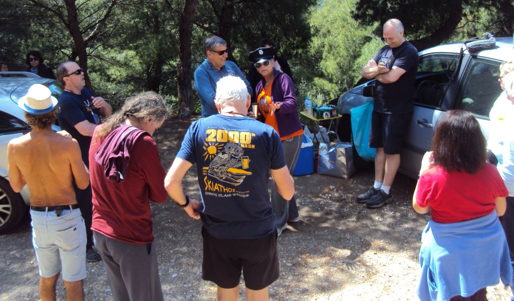
The walkers and runners set off
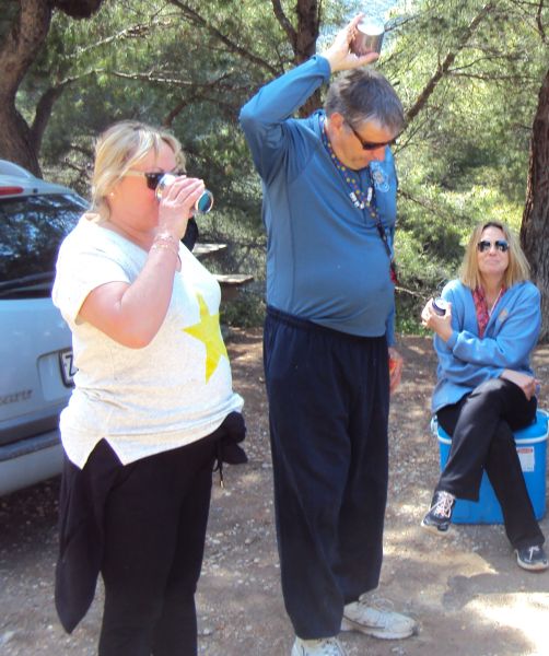
Walkers Clitoria, Coke Dealer and Doggie Style
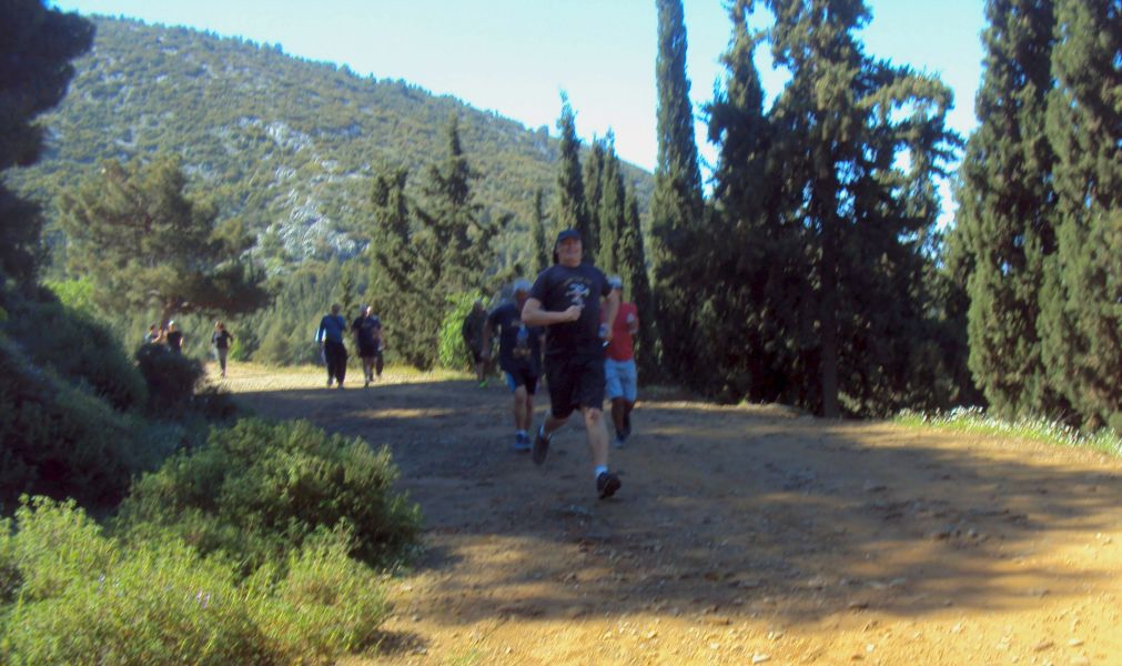
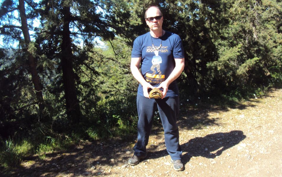
Fair Cop charges on
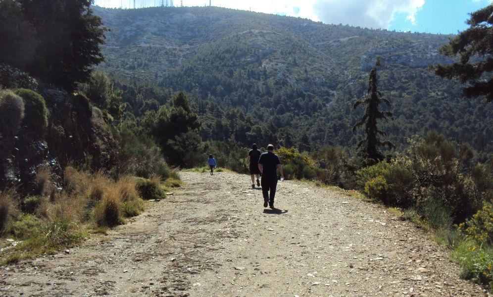
Going down
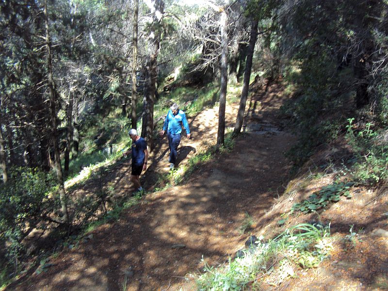
Zig-zagging down the mountainside
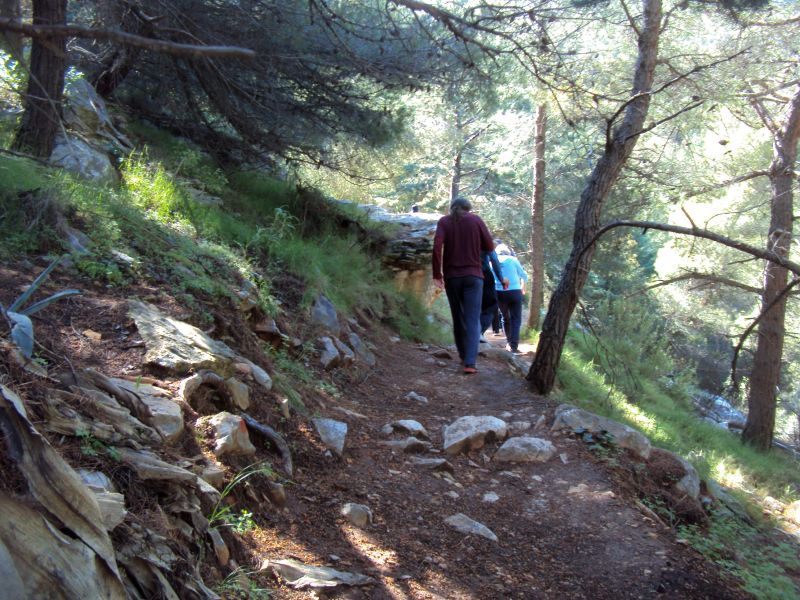
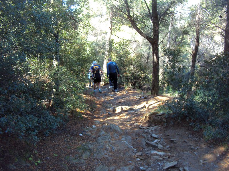
On down
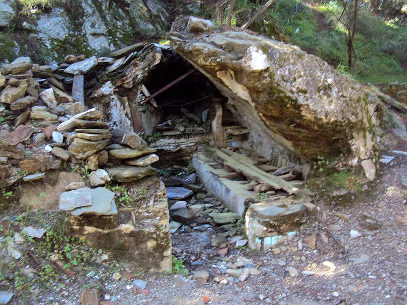
Old shelter
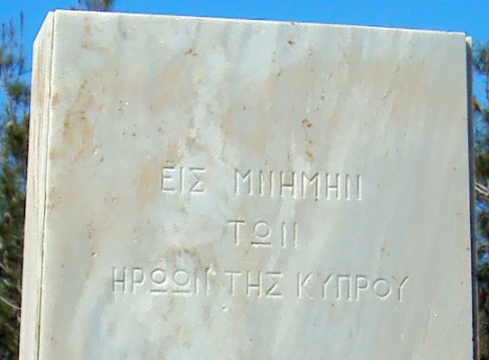
Monument to the heros of Cyprus
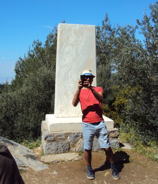
Monument to the heros of Cyprus
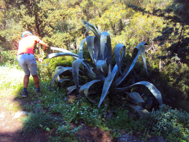
This is not a Sisal plant

Pond with fish and turtles - close to The Periptero (Municipal refreshment facility)
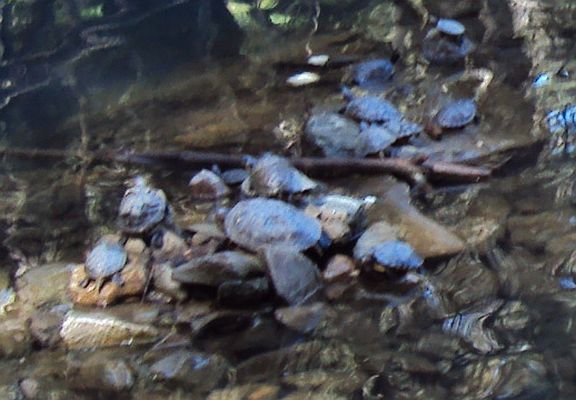
Turtles in the pond
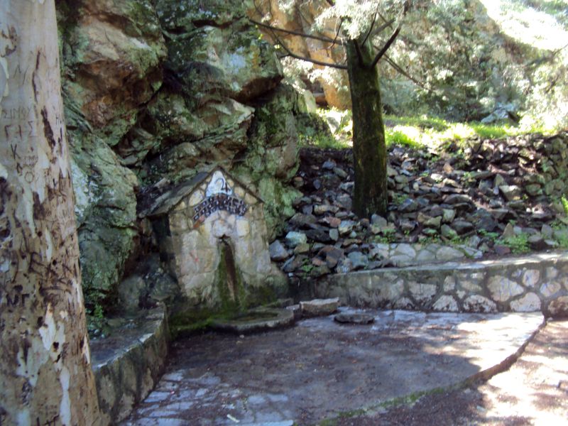
Stone fountain
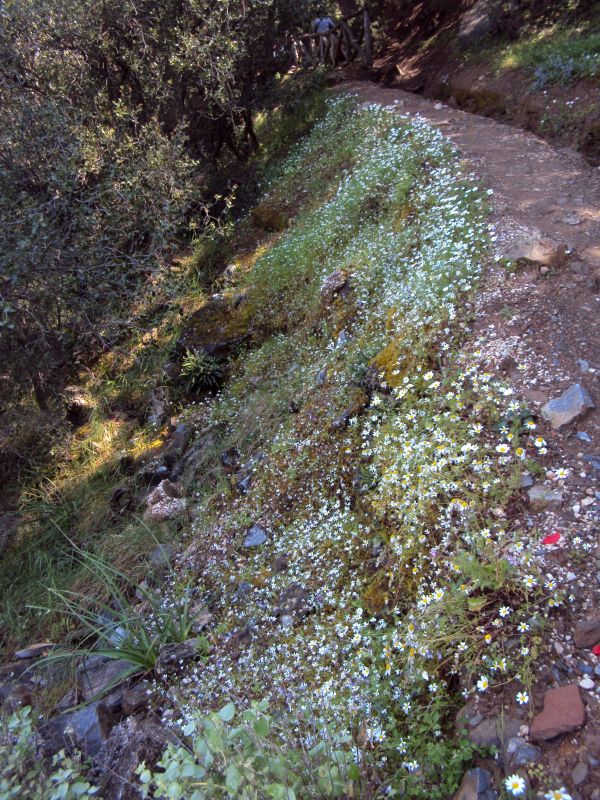
Spring flowers on the mountainside
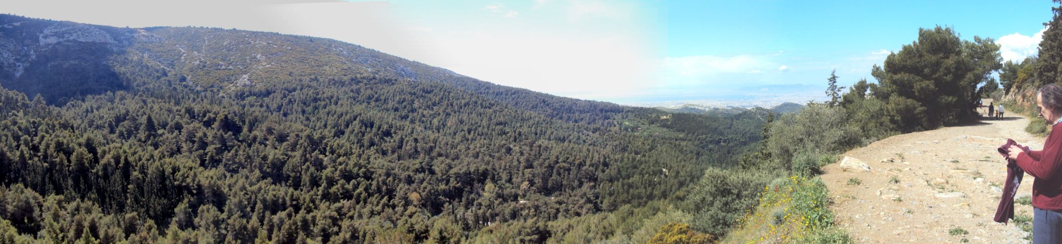
>>>>>>> PANORAMIC VIEW from the Old High Road >>>>>> Scroll right >>>>>>
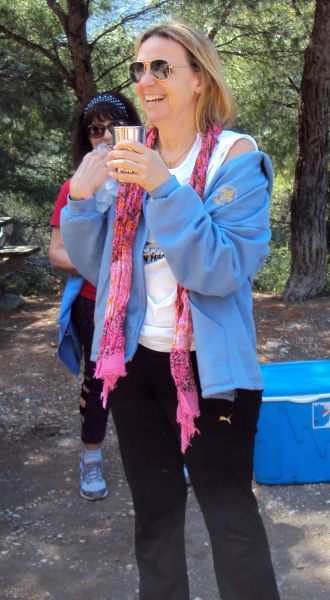
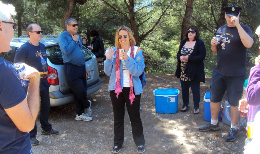
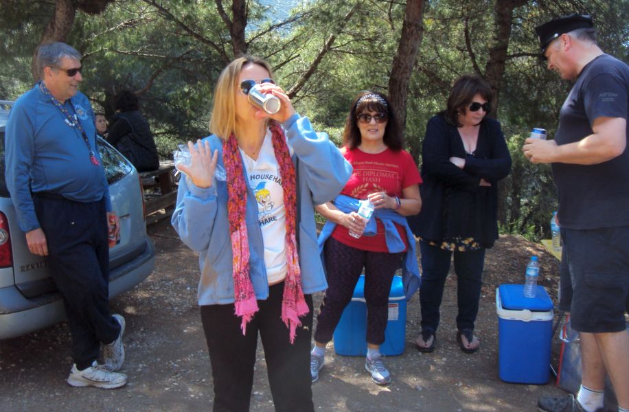
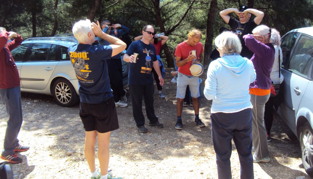
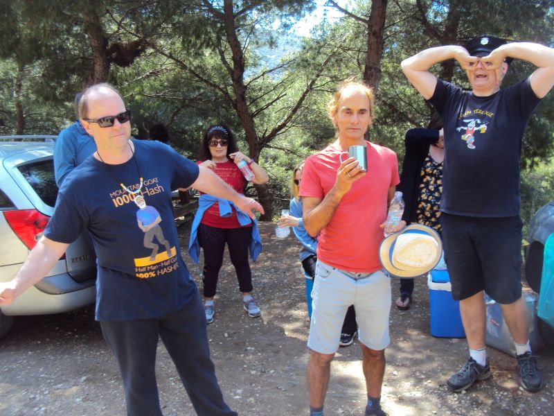
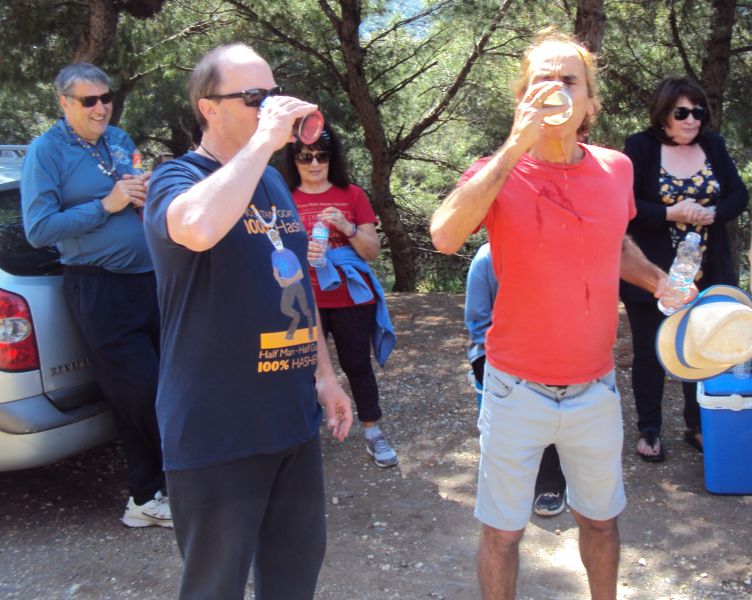
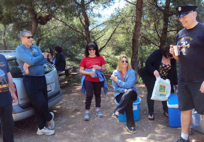
- THE CIRCLE -
Hare Kiki fell on the trail and is holding an ice pack to her shoulder
Hare's down-down
Flying Club - Jacket-Off and Greek God
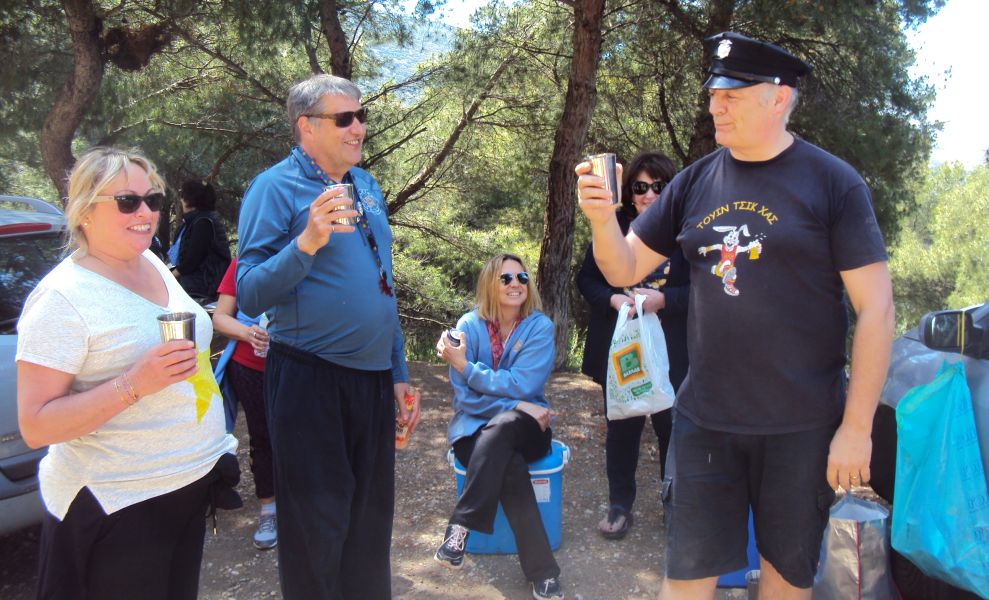
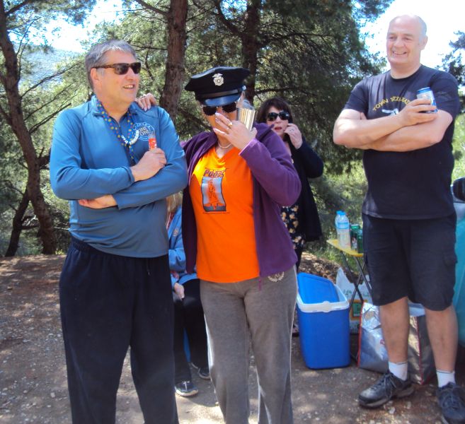
Coke Dealer and visitor Pussyfoot
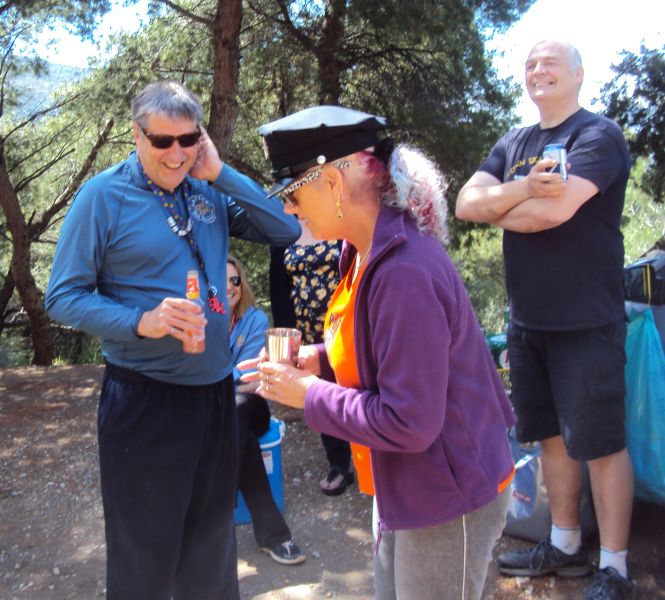
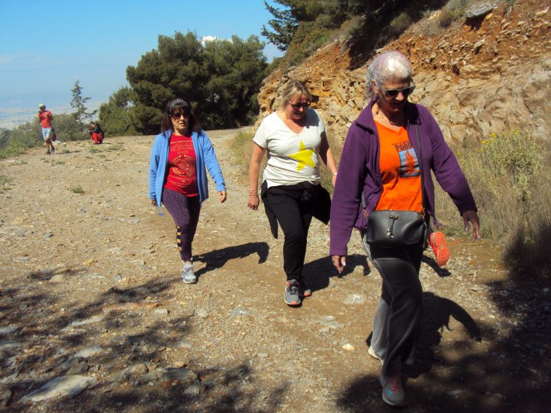
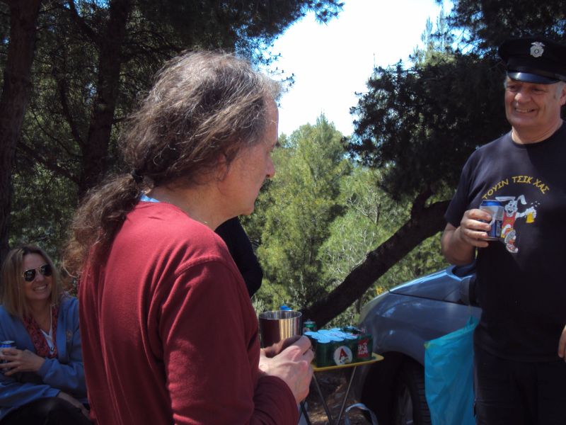
Clitoria questions Pussyfoot from the Montreal hash
What does that say on your hash necklace?
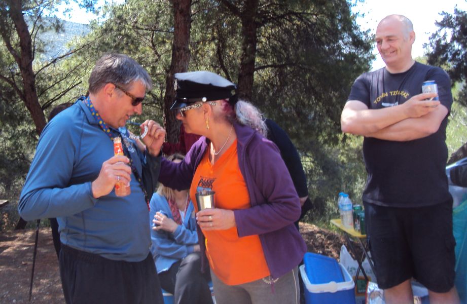
Three fingers, 3 questions and maybe a 4th
Pussyfoot gives us a song
Rim Job was late for the hash
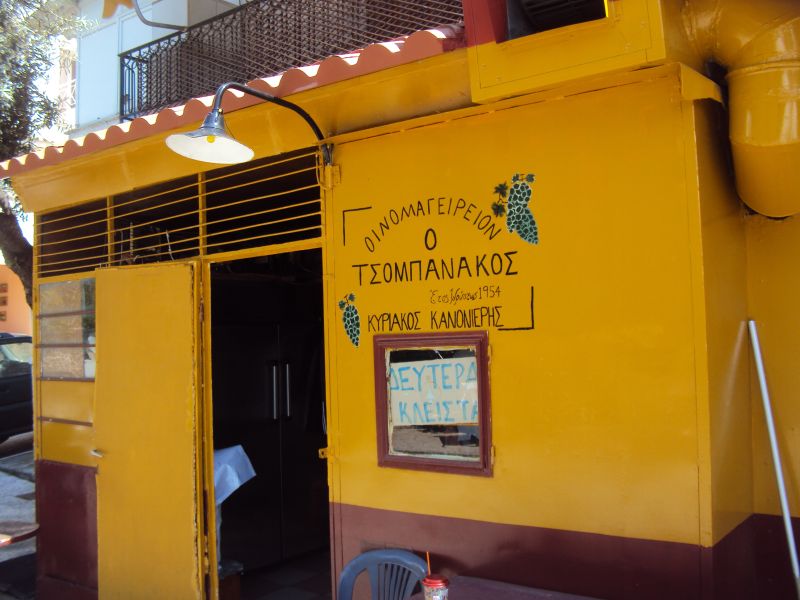
- THE TAVERNA -
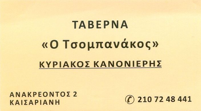
The Tsobanakos taverna in Kesseriani
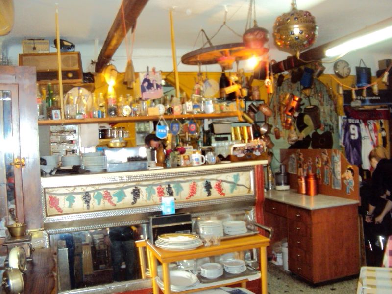
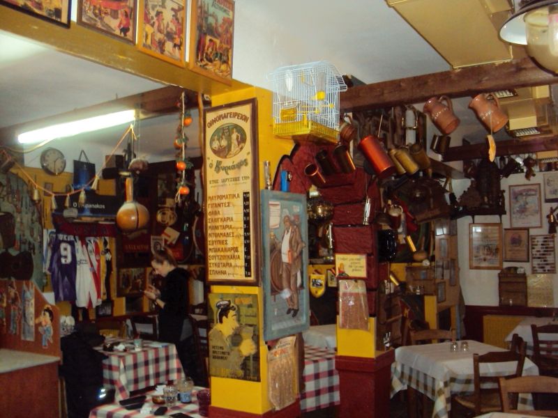
The inside of the taverna is filled with assorted decorative objects
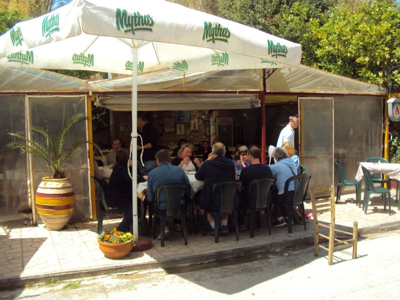
The hash choose to sit outside and enjoy the sunshine
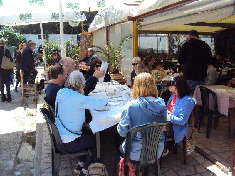
OK what's good to eat on the menu? Fair Cop checks it out.
- THE DIRECTIONS -
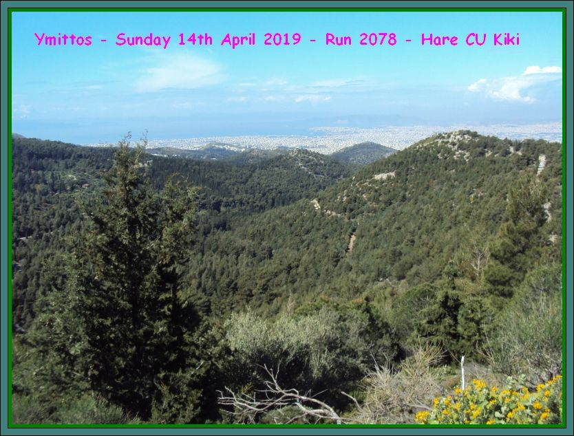
Sunday 14th April – 11am
Run 2078-ish
Hare: Currently Unnamed Kiki
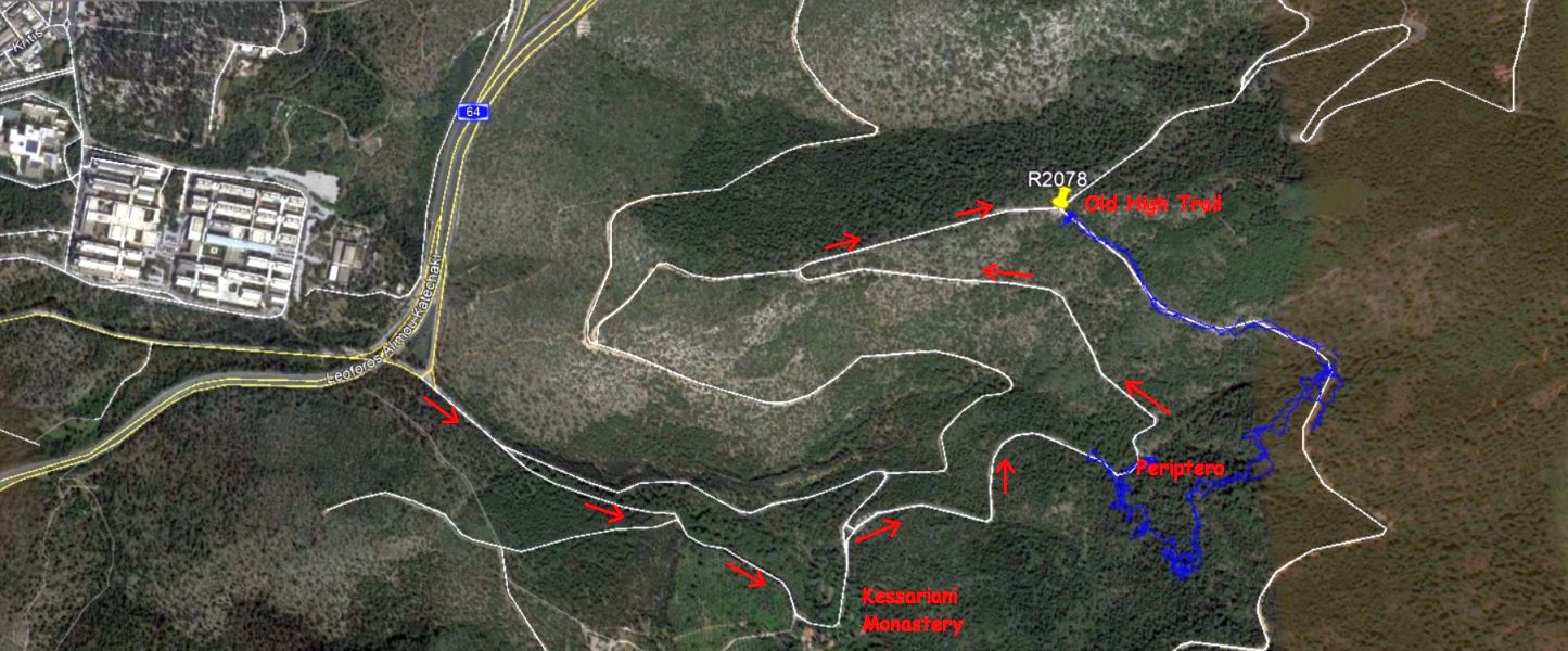
Venue: Ymittos – continue up up up from Kaissariani Monastery
MIS-DIRECTIONS:
FROM THE NORTH
FROM MESOGION AVENUE SOUTHBOUND TURN LEFT INTO ALIMOU – KATECHAKI AT KALATRAVA BRIDGE / KATECHAKI METRO STATION
AFTER 5.9 KILOMETRES TURN RIGHT TOWARDS KAISSARIANI MONASTERY/ PANEPISTIMIOYPOLI (SIGNPOSTED)
AT THE JUNCTION, TURN RIGHT AT THE CEMETERY AND CONTINUE STRAIGHT UP PAST THE KAISSARIANI MONASTERY [ON YOUR RIGHT]
AND PAST KALOPOULA KIOSK [ON YOUR LEFT].
THE MEETING POINT CAR PARK IS 1.3 KM AFTER KALOPOULA KIOSK
FROM THE SOUTH
FROM ILIOUPOLI GET ON TO LEOFOROS ALIMOU-KATECHAKI
TURN LEFT TOWARDS KAISSARIANI MONASTERY/ PANEPISTIMIOYPOLI (SIGNPOSTED)
AT THE JUNCTION, TURN RIGHT AT THE CEMETERY AND CONTINUE STRAIGHT UP PAST THE KAISSARIANI MONASTERY [ON YOUR RIGHT]
AND PAST KALOPOULA KIOSK [ON YOUR LEFT].
THE MEETING POINT CAR PARK IS 1.3 KM AFTER KALOPOULA KIOSK
https://www.google.com/maps/place/Old+High+Trail/@37.9676621,23.8006768,17z/data=!3m1!4b1!4m5!3m4!1s0x14a19723b615f3c3:0xdb43b56b730531a3!8m2!3d37.9676621!4d23.8028655
Lost? Still drunk from Saturday night? Directionally challenged?? Just daft as a brush????
TOUGH
EXTRAS
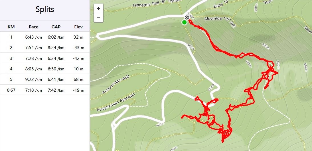
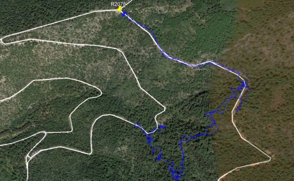
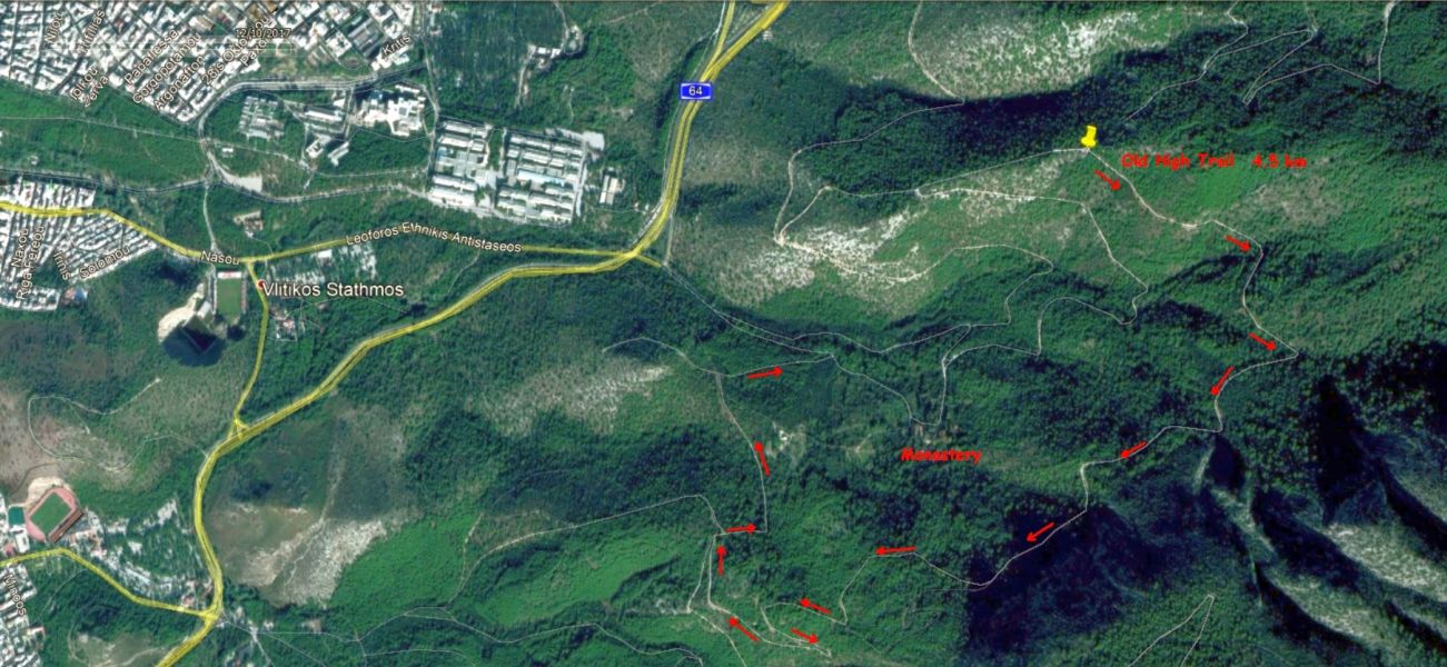
Mad Dog's route (after waiting with the injured hare) - down to 'The Periptero' eating area and back up to the cars
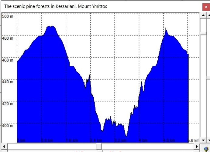
MD's elevation profile
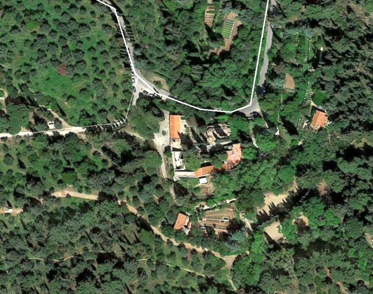
Satellite view of the Kessariani monastery
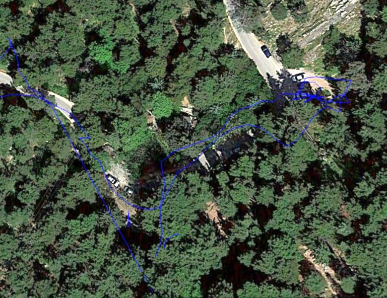
Satellite view of the Periptero eating area - on the "U" bend
Satellite
view of MD's route
Satellite view of MD's route also showing the driving route from the main Katehaki road up to the Old High Trail parking area.
NOTE the University building on the left
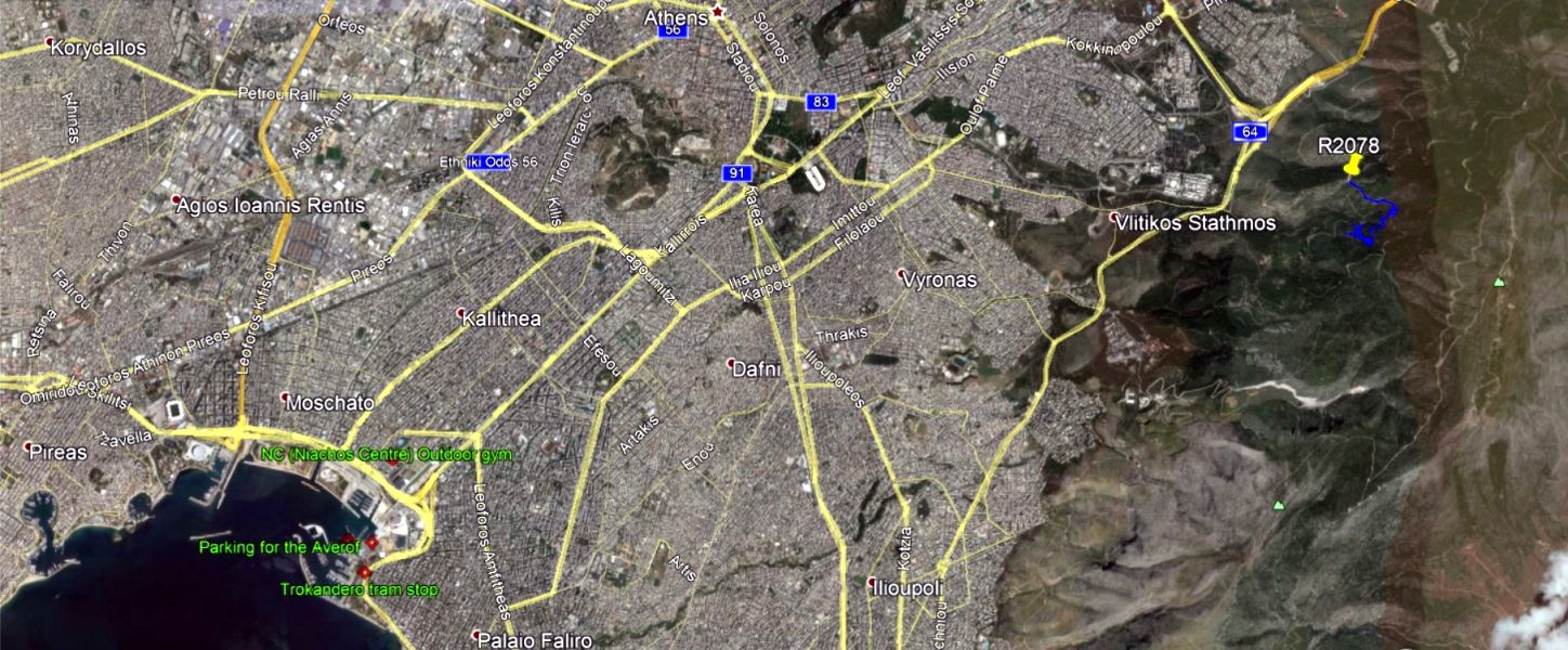
Satellite view for venue location
The Old High Trail
Just for future reference
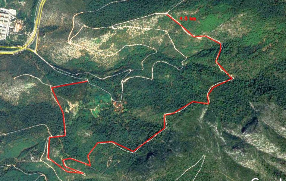
4.5 km from the parking area all the way down to the road
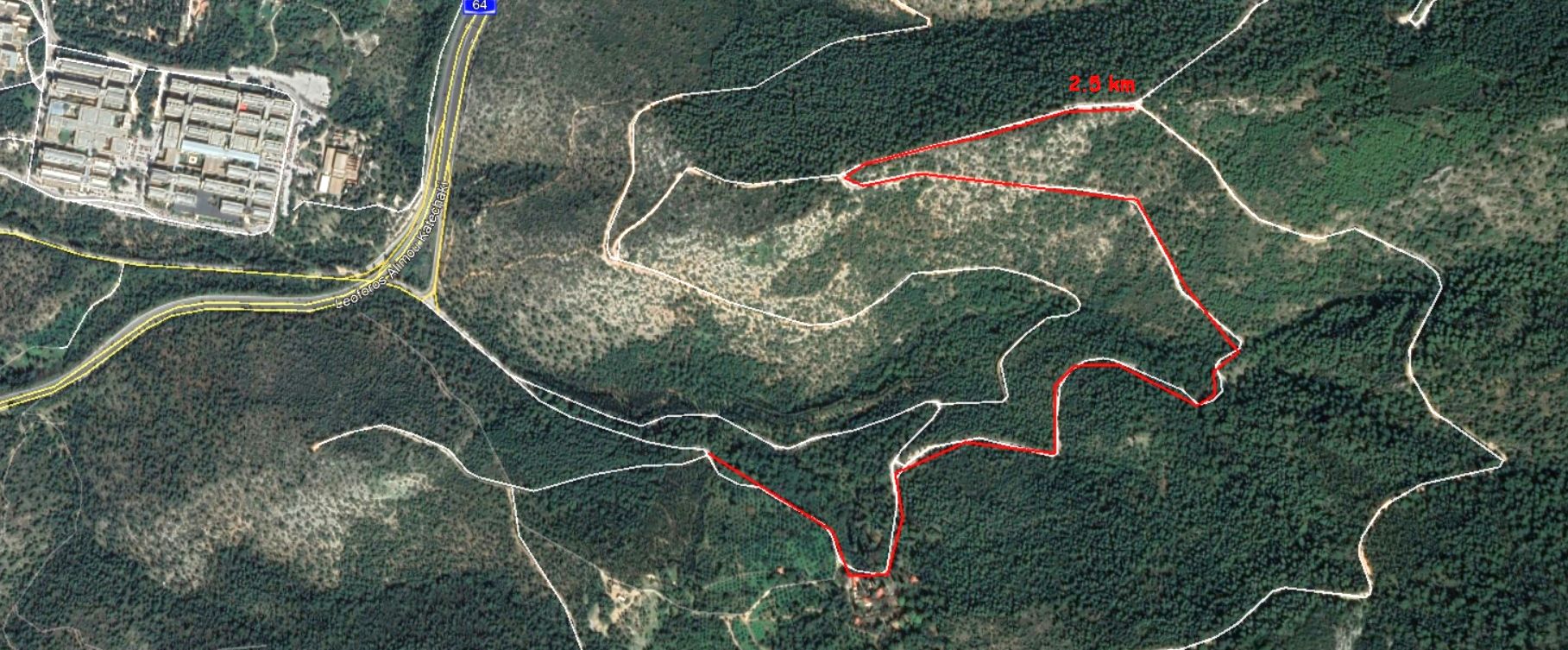
From the end back up to the car park is 2.5 km
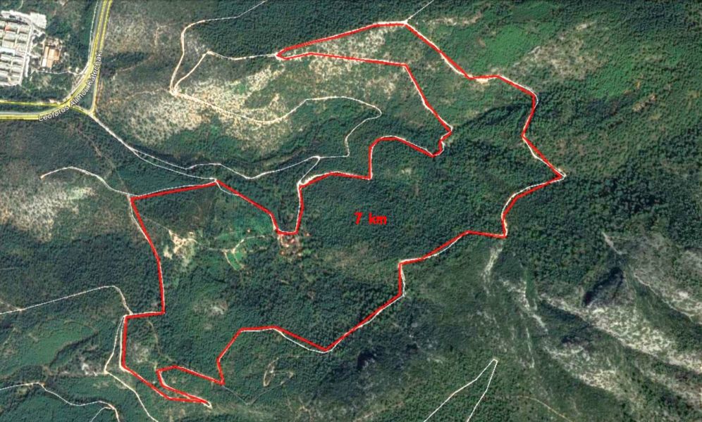
The whole loop is 7km