|
(West of Athens) Wine Country |
AH3 Run 2004 Hare: Fair Cop Photos & web page: Mad Dog |
37.982009°, 23.873098° Elevation: 160 metres Trail length: 4.3 km |
|
The
Trail
|
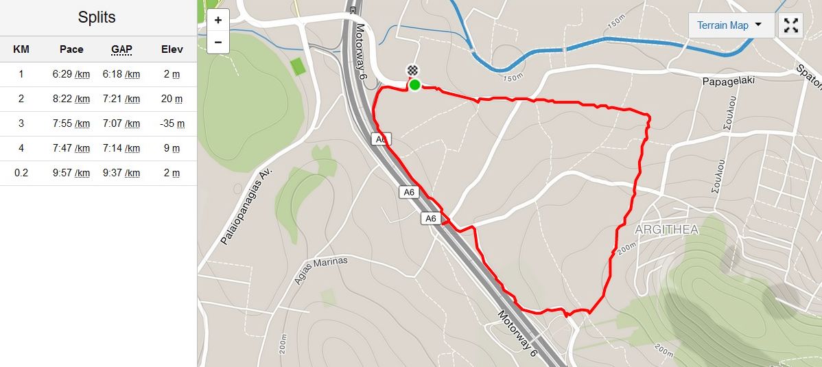
The track as recorded on MD's smartphone Strava application (app)
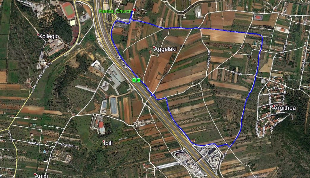
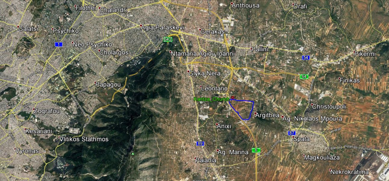
The track as recorded on MD's Garmin 305 GPS watch
|
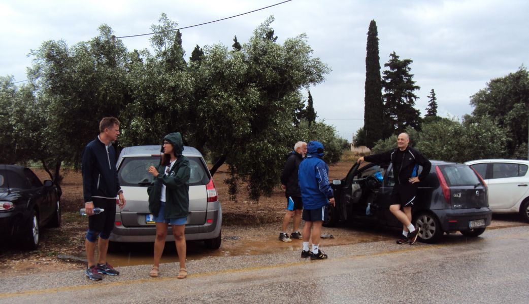
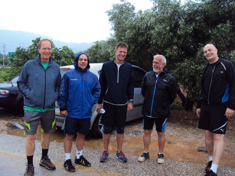
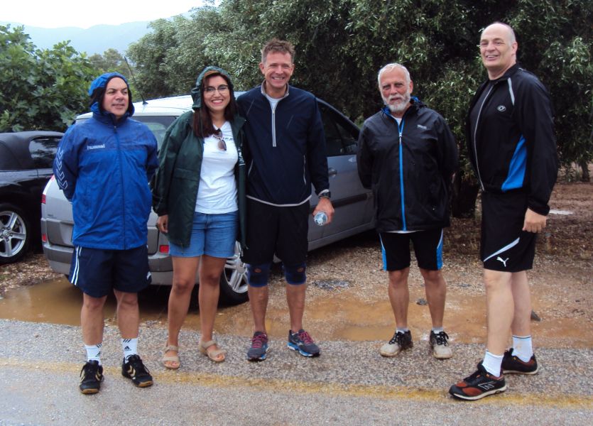
Before
the run
|
|
The
Run
|
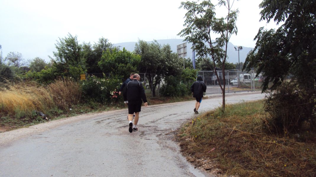
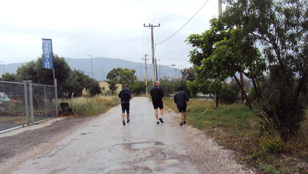
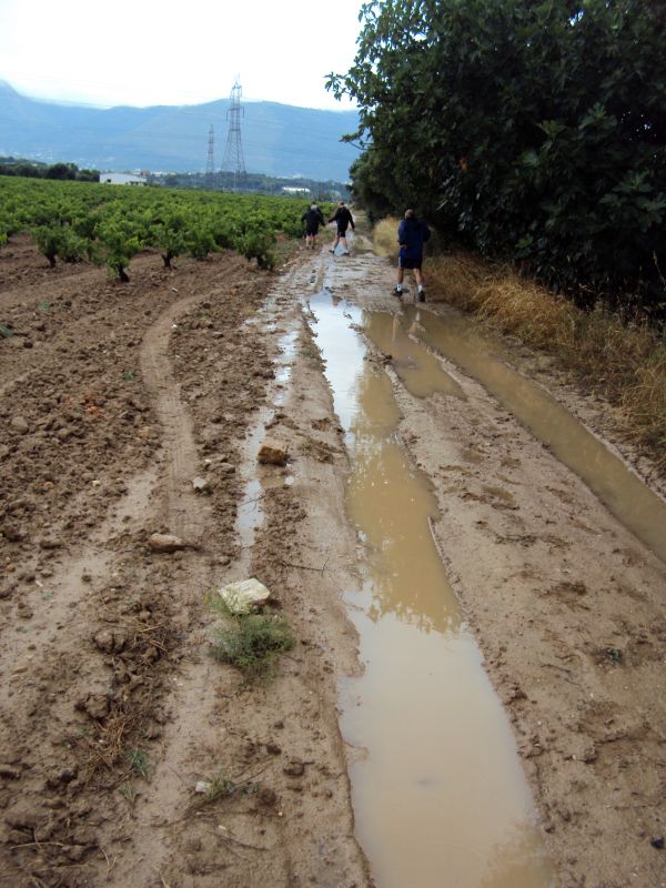
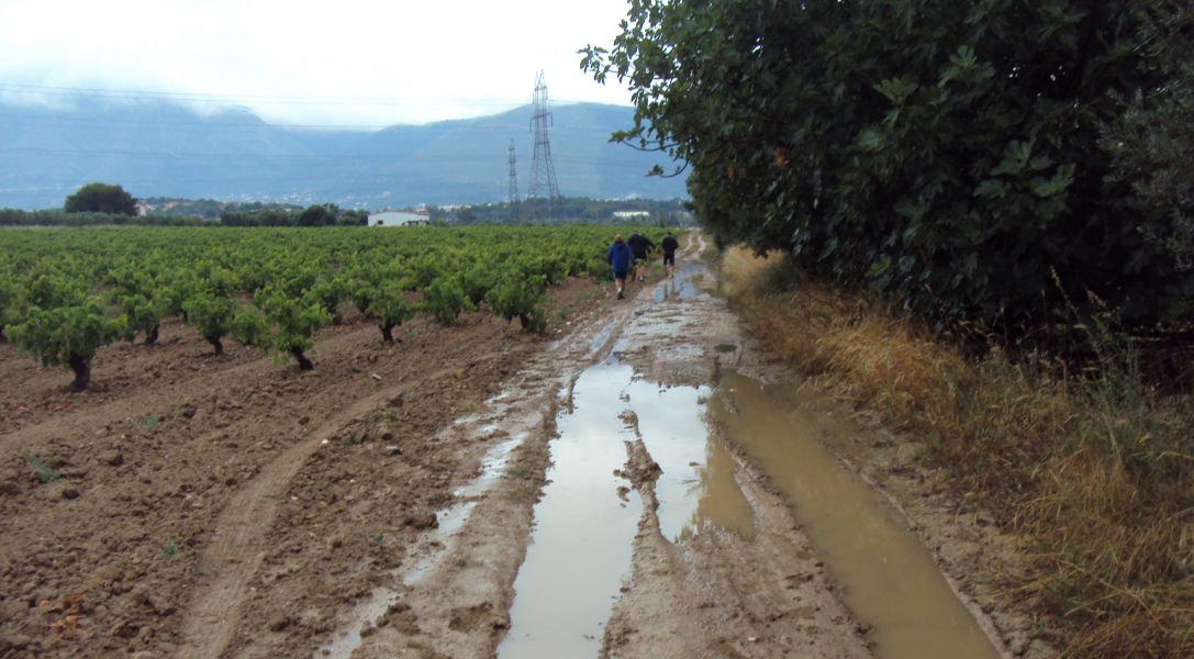
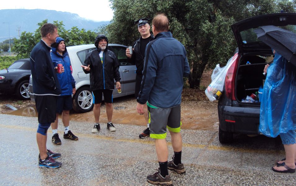
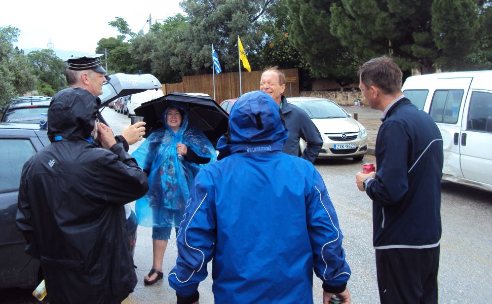
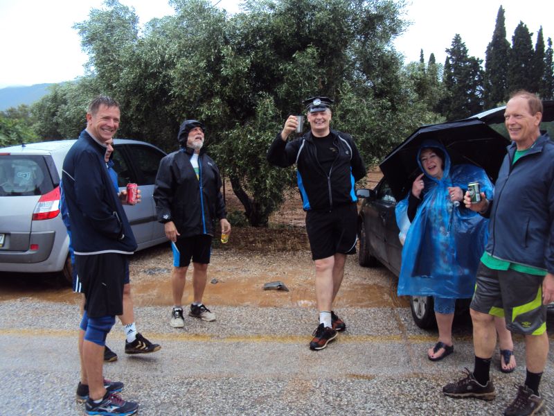
Setting off in the rain
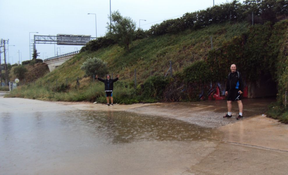

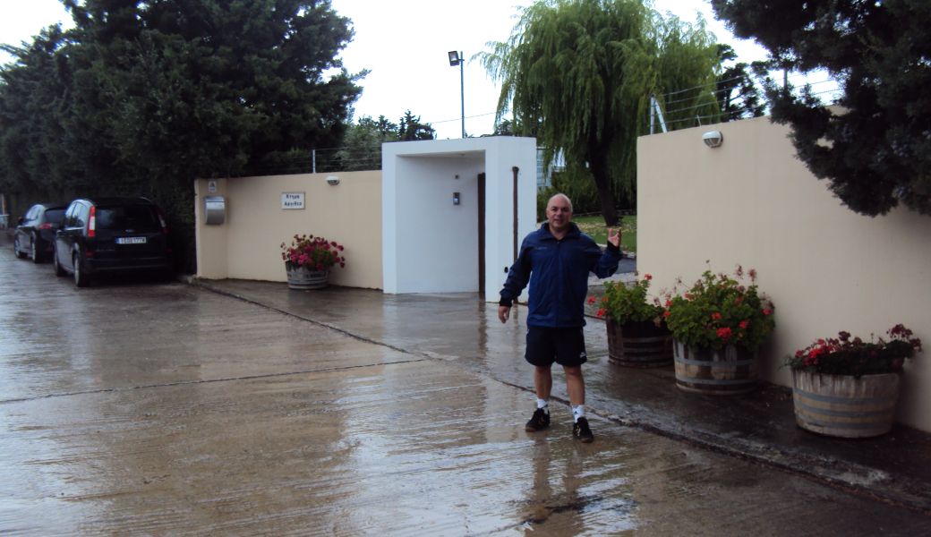
Rear Entry outside the Ktima Argithea winery
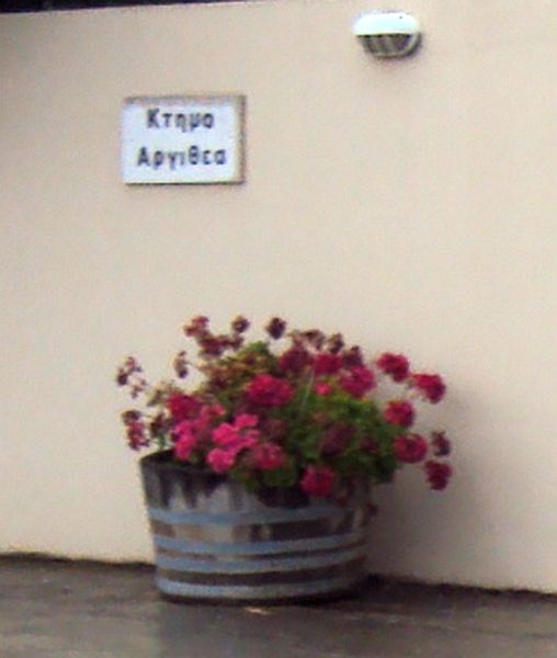
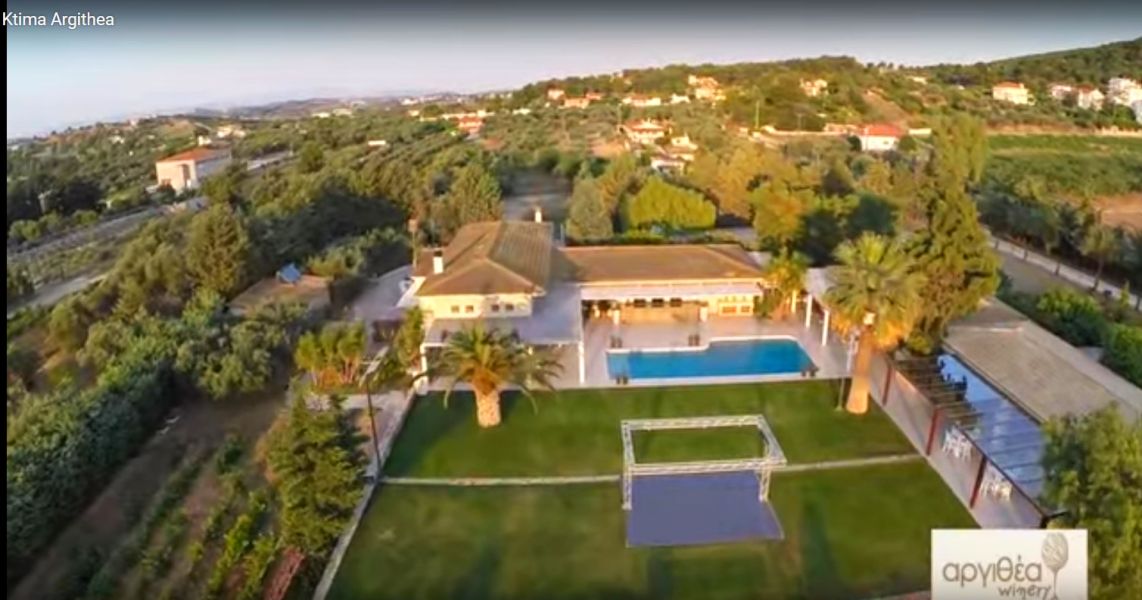
Ktima Argithea winery and a beautiful venue for reception for weddings, baptisms, etc
See the images (click 'gallery' for many photos with colourful lighting) on their website at:
http://www.ktimaargithea.gr/en/
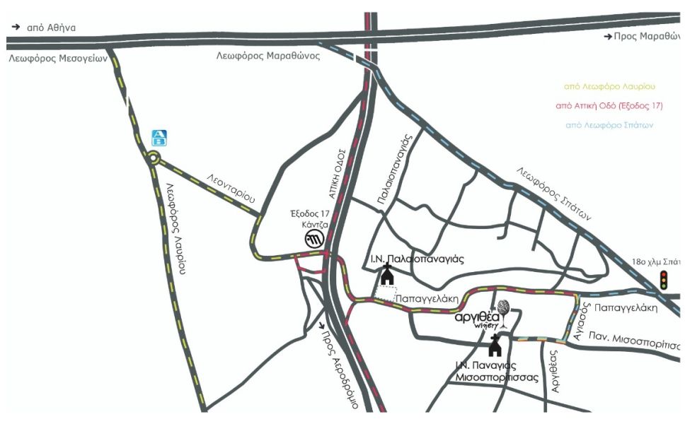
Map location of the winery and ktima
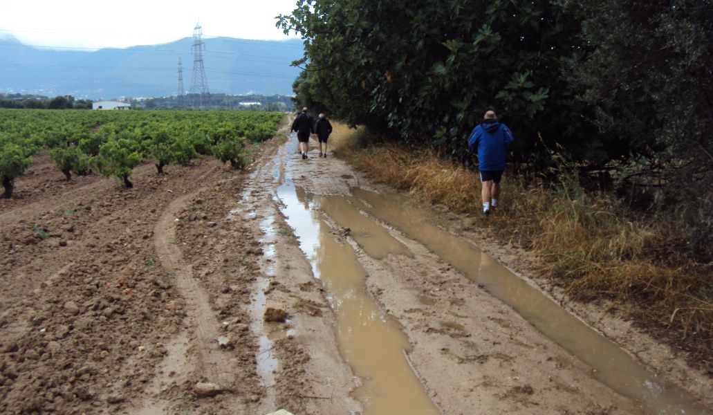
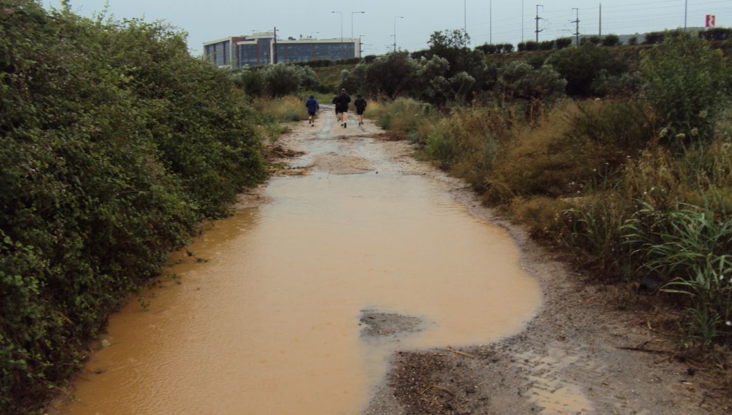
Lovely sticky mud track alongside the vineyard!
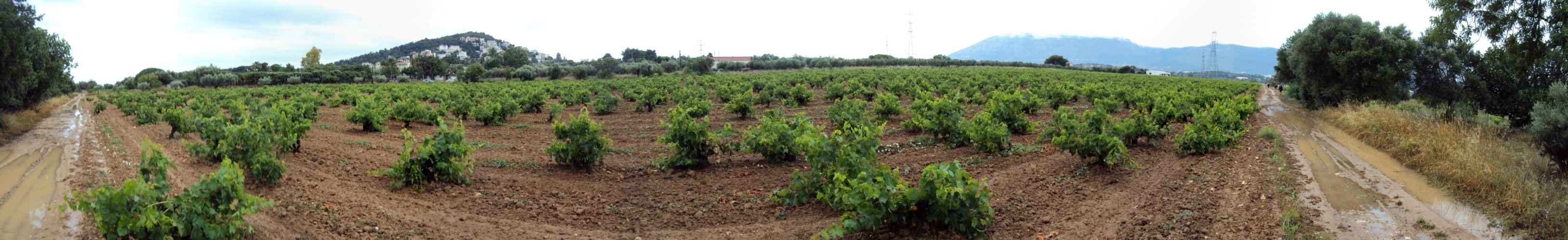
Panoramic view of the vineyard >>>>> SCROLL RIGHT >>>>>
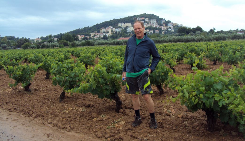
Mad Dog poses by the vines laden with (yet unripe) grapes
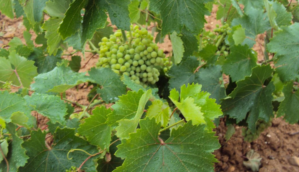

Vines loaded with grapes
|
The
Circle |
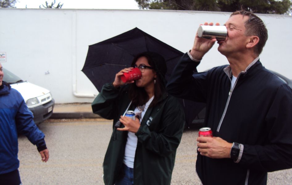
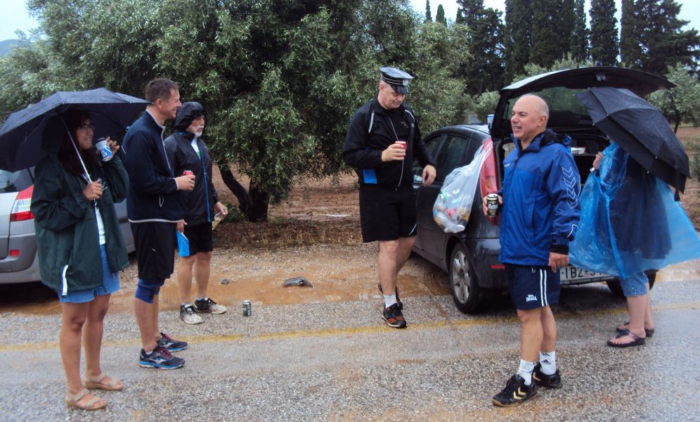
GM Mad Dog invites RA and hare Fair Cop into the circle
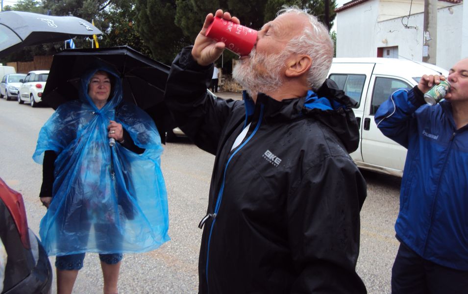
Not enough mud on the trail?
Returnee Mountain Goat is welcomed back
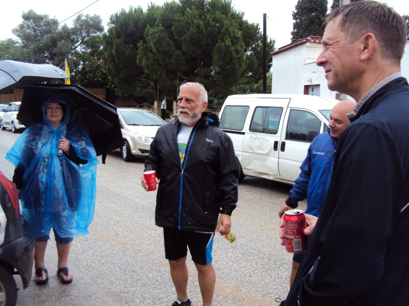
Rear entry also comes prepared for the rainy weather
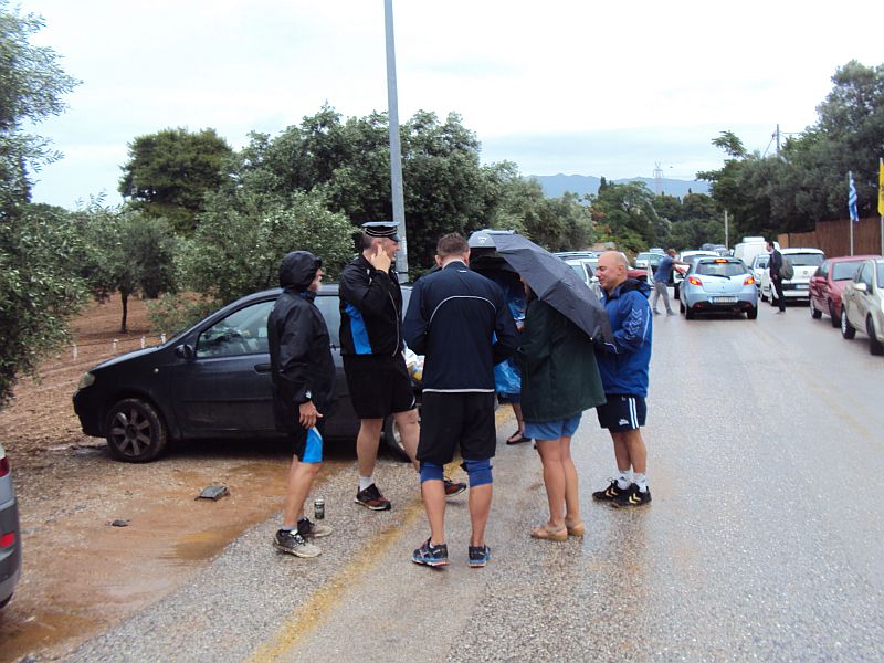

Andy and Katarina have braved the weather to join us
Fair Cop
Mountain Goat with hood down
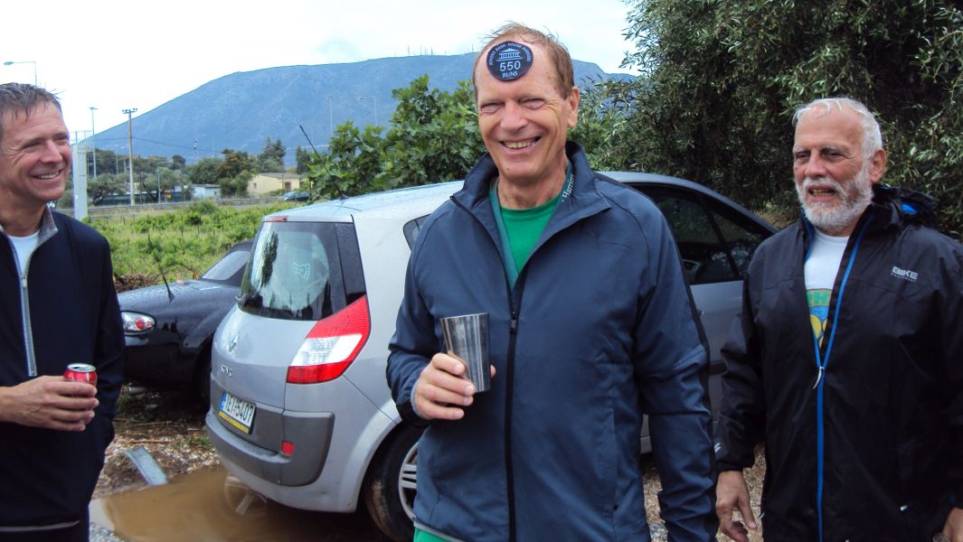
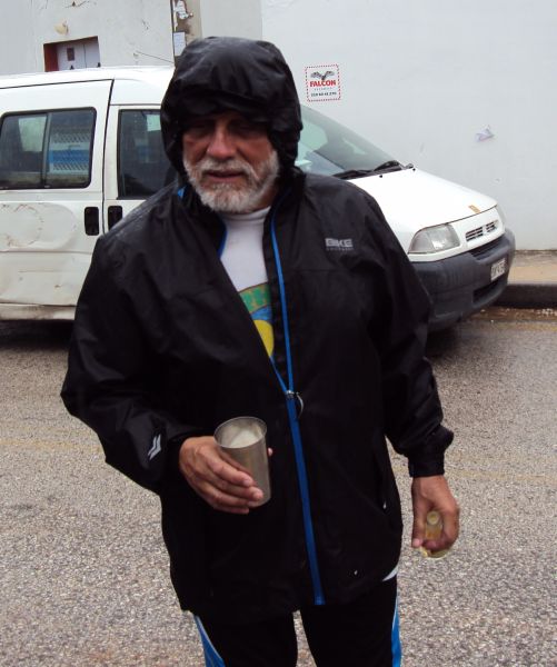
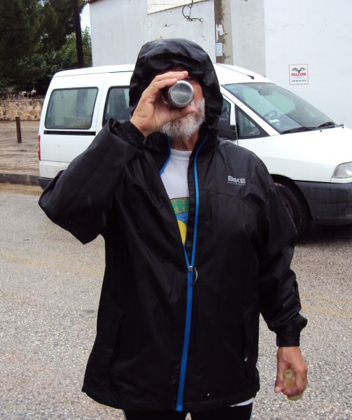
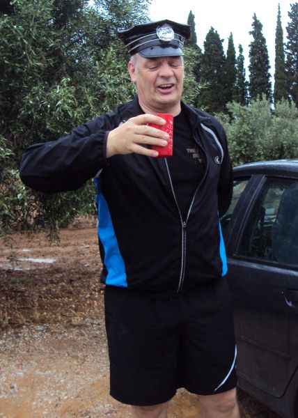
Mad Dog receives his 550 run badge (on father's day)
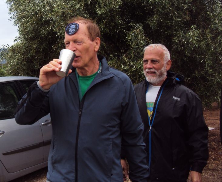
He doesn't realise he has again been given the tankard with the hole
|
The
Taverna
|
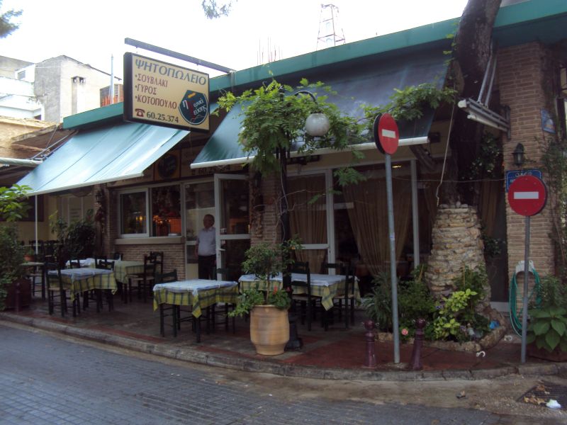
We drive to the taverna in centre of Spata
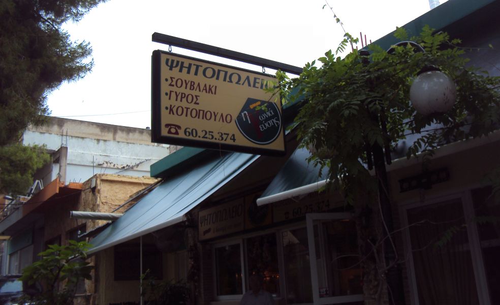
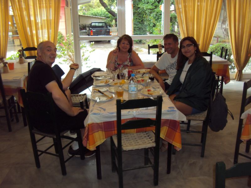
Lots of food with beer and wine - for 14 euros each

The Helioti Brothers taverna - calling itself the "Corner of Tastes"
Address: Intersection of Anastaseos Christou & Platonos streets
Exact GPS location: 37.965411°, 23.908021°
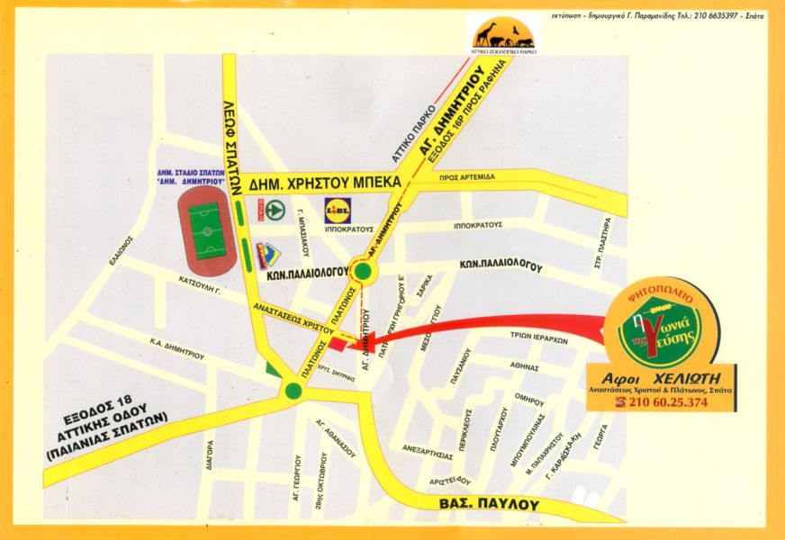
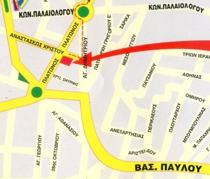
The directions to the hash - for the record |
Next AH3 [Athens Hash House Harriers] Hashing event:
Sunday 18th June – 11am
Run 2004 – Flat, Flatter, Flattest….
Hare: Fair Cop
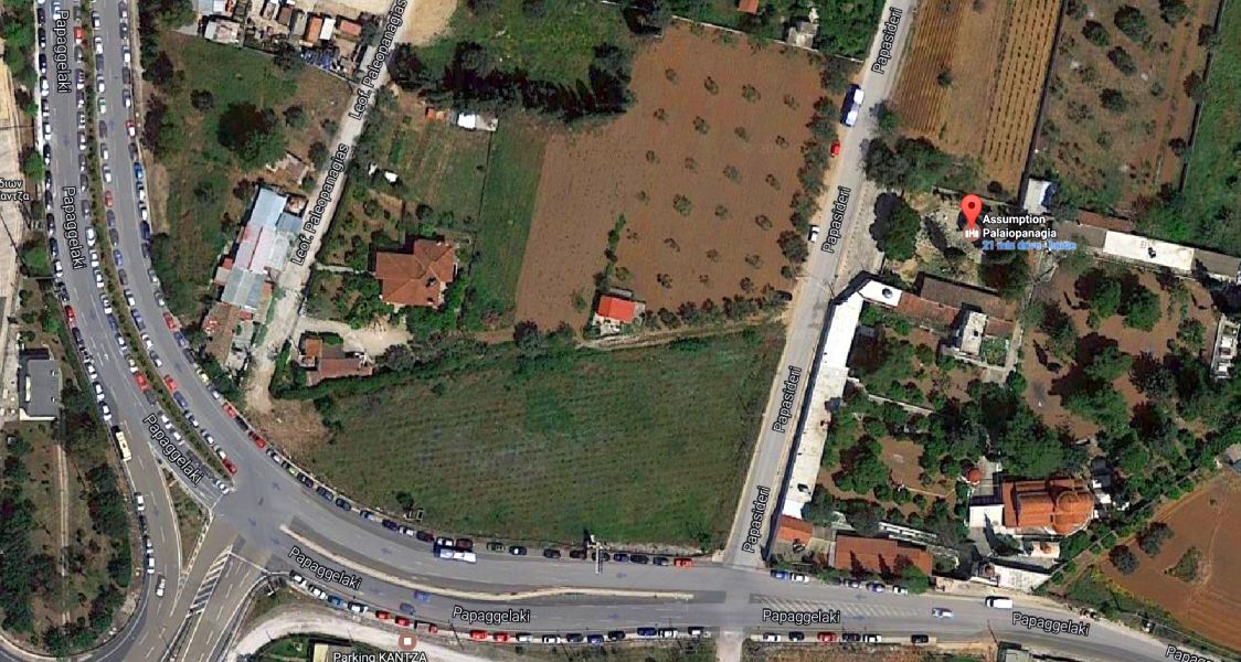
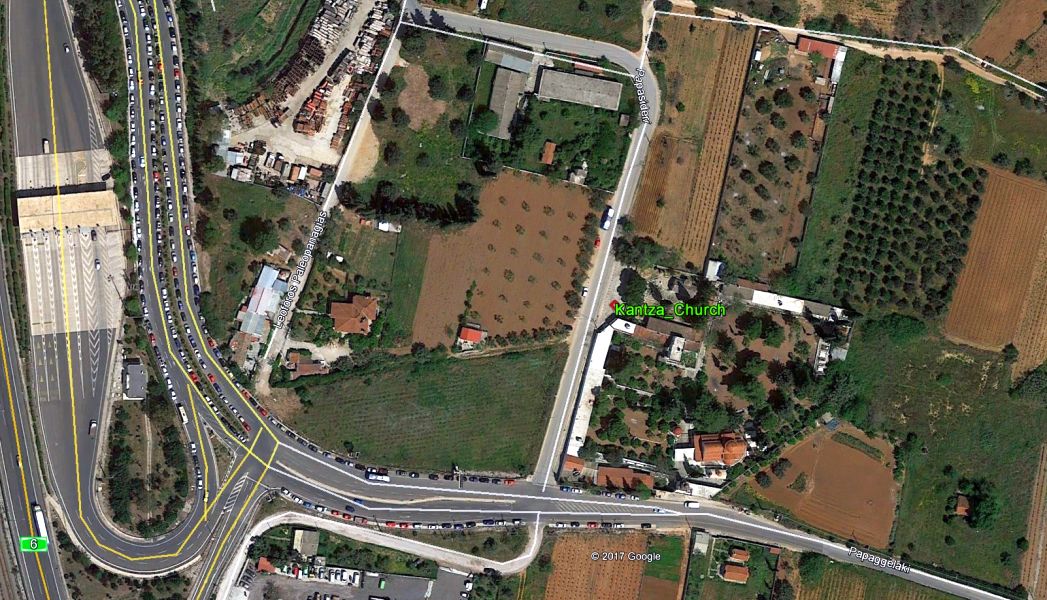
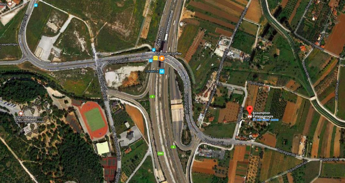
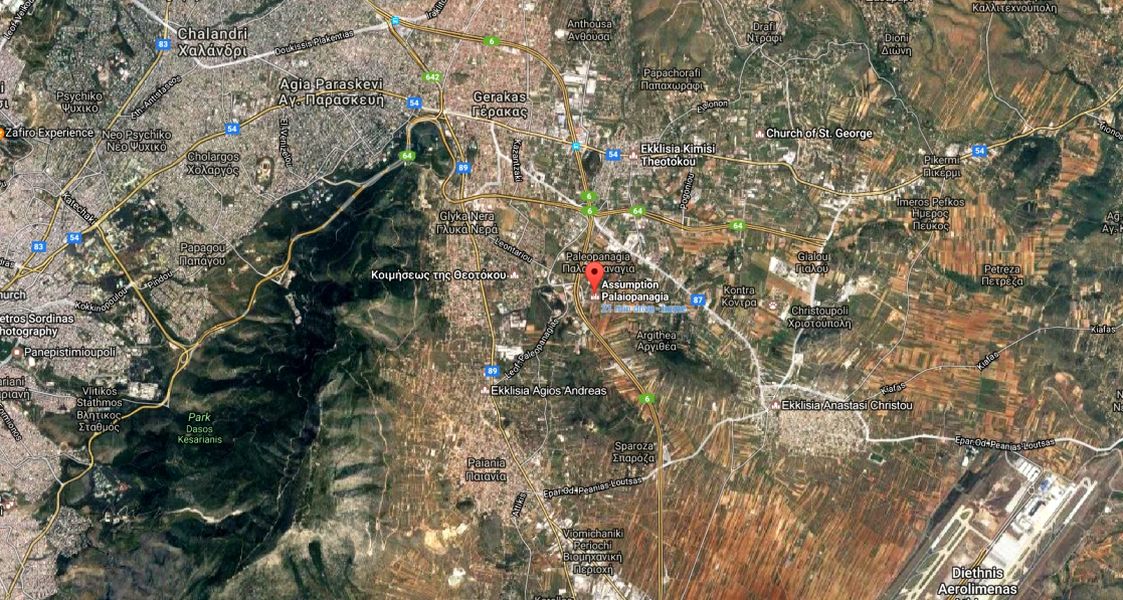
Venue: Starting from the church of Palaiopanagia, Kantza
On Inn: tbc
Directions:
From
the Airport Direction.
Leave Attiki Odos at Junction 17, Kantza. Turn right, continue 50m, Look for
the church on your left.
From
Elefsina Direction.
Leave Attiki Odos at Junction 17, Kantza. (NOTE: This is 8.5 km before the
airport turnoff). Turn right, go over the bridge, continue for 400m. Look
for the church on your left.
Avoiding
tolls:
Cough-up the 2.80 then follow directions above, or turn on Google Maps and
use the link below, or take Lavriou Ave to the roundabout in Glyka Nera, take
the Kantza exit, turn right when you can’t go straight on at the T-junction,
then follow this road over the motorway, 400m beyond, church is on your left.
By
Train:
Get on an airport train, get off at Kantza. Come up to the road. Turn to face
the direction of the airport, and come down the road on your left. About 400
metres.
https://goo.gl/6YfB2z
GPS coordinates For Sat Navvies: 37°58'55.33"N, 23°52'22.97"E
...or better: 37.982009°, 23.873098°
Lost? Still drunk from Skiathos? Directionally challenged?? Just plain stupid????
Call the hare: Fair Cop 6932096555