|
|
|
|
Photos:
Nasal Ninja and Mad
Dog
Trail image:
Pussy
Basher
Web page: Mad Dog
|
The 4-Hare
Live Trail
|
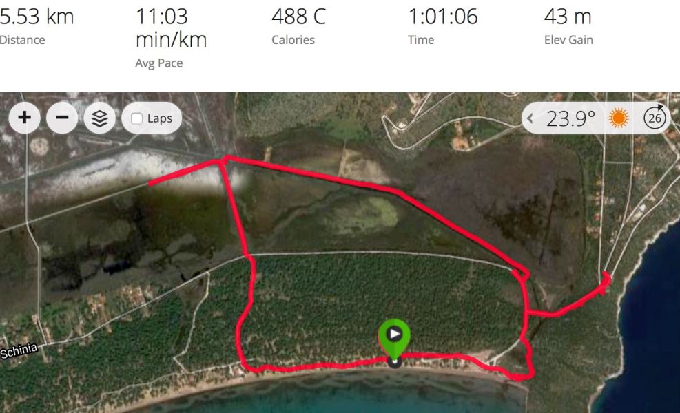
From Pussy Basher's Garmin GPS watch
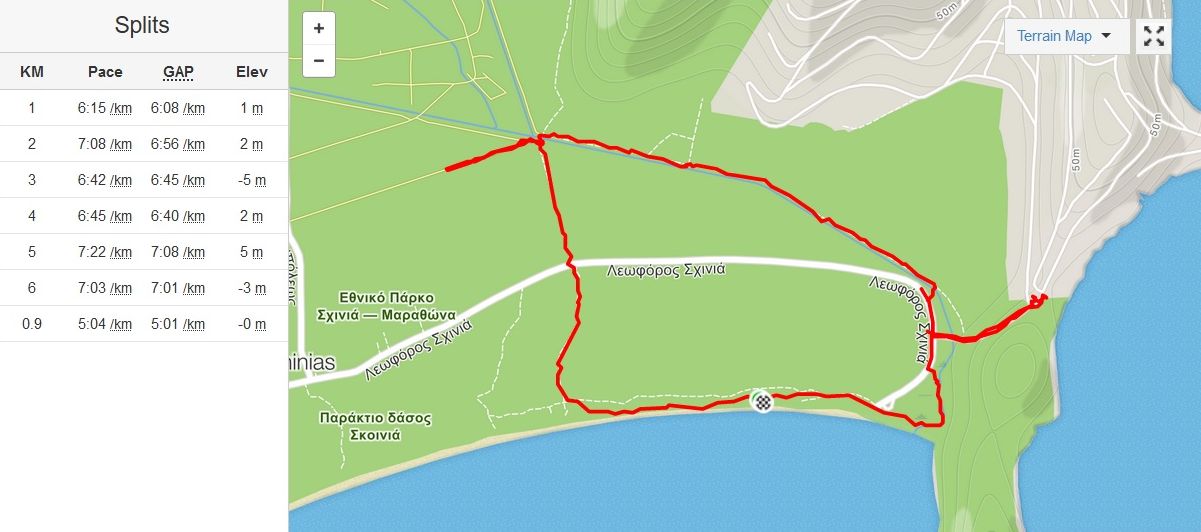
From Mad Dog's smartphone Strava app. website
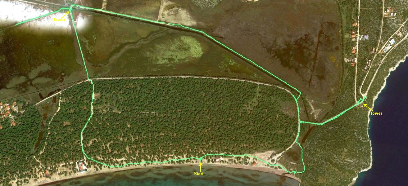
The Strava .gpx track file overlaid on a Google Earth Pro satellite image.
The Schinias-Marathon National Park (Wetlands) can be clearly seen above
the Schinias forested area.
The run took a route along the public pathway laid through the wetlands.
Part of the pathway was flooded and the runners had to turn back and take
another route.
Photos were taken from the top of the two observation towers (see below)
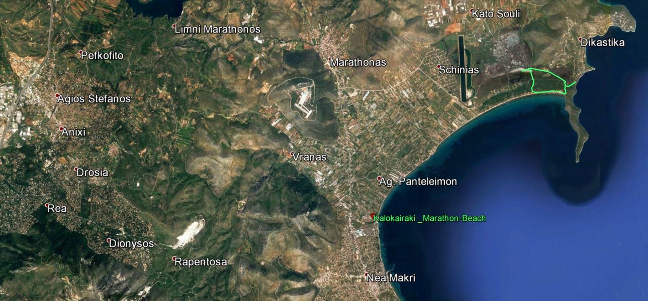
Schinias trail location map
|
The Run
and Walk
|
The walkers set off along the beach, meanwhile the runners set off with hare #1 Amawanka...
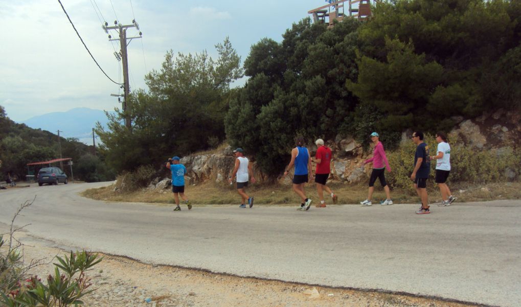
After traversing some swampland to attempt access to the peninsula, hare #1 got us to the road.
Where had Captain Sumo got to? Did he sink in the swamp?
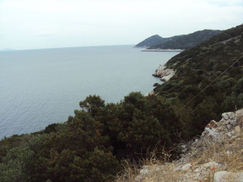
View of the peninsula we decided to avoid as it had no obvious runner's access path
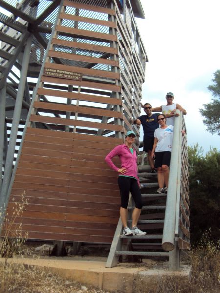
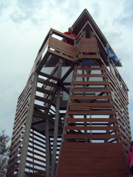
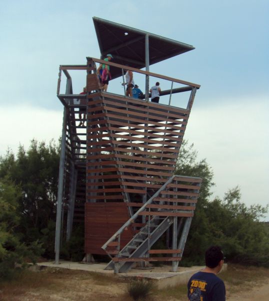
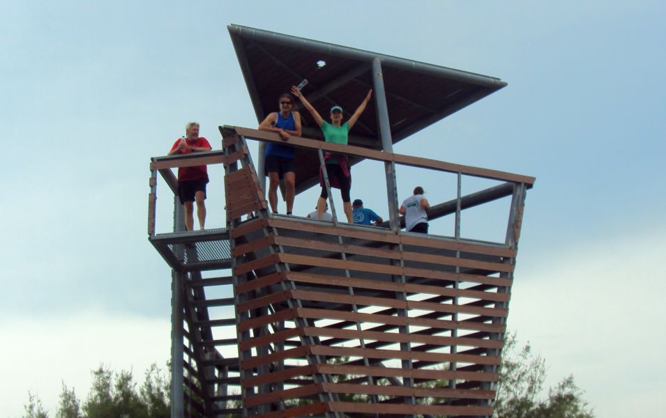
Climbing the public observation tower to see the layout of the area
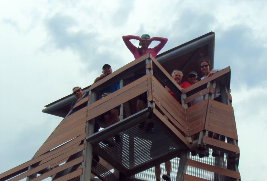
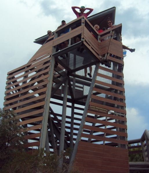
Fun in the tower (note the leg sticking out)

Panoramic view of the wetlands from the tower >>>>>> SCROLL RIGHT to view >>>>>>
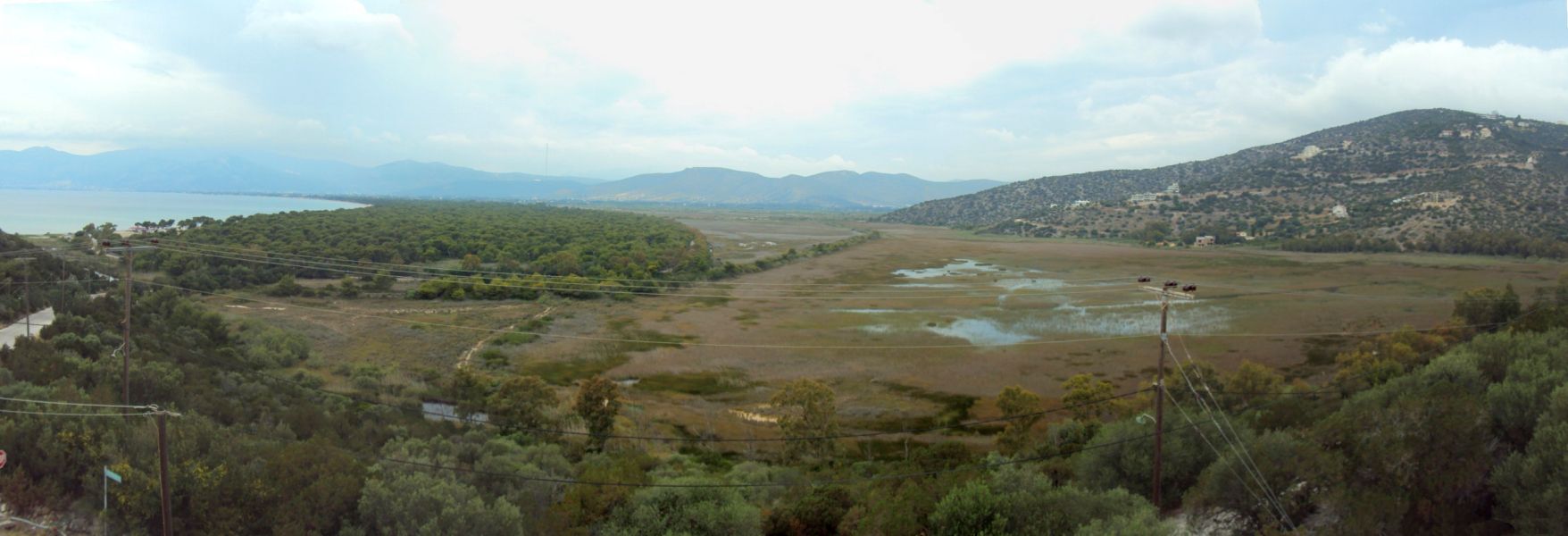
Panoramic magnified view from the tower >>>>>> SCROLL RIGHT to view >>>>>>
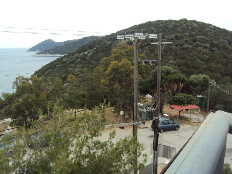
Another view of the peninsula - 2.5 km long - this time from the tower
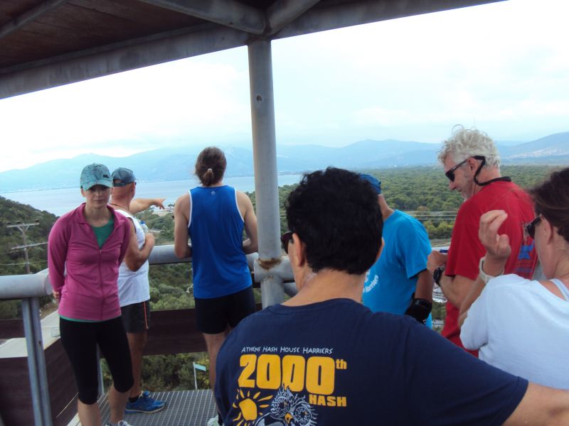
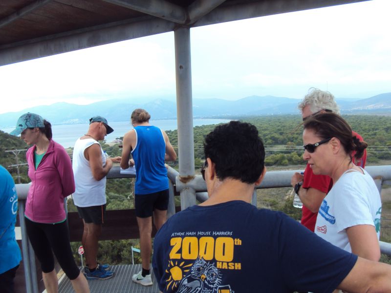
The hare #1 planning the trail
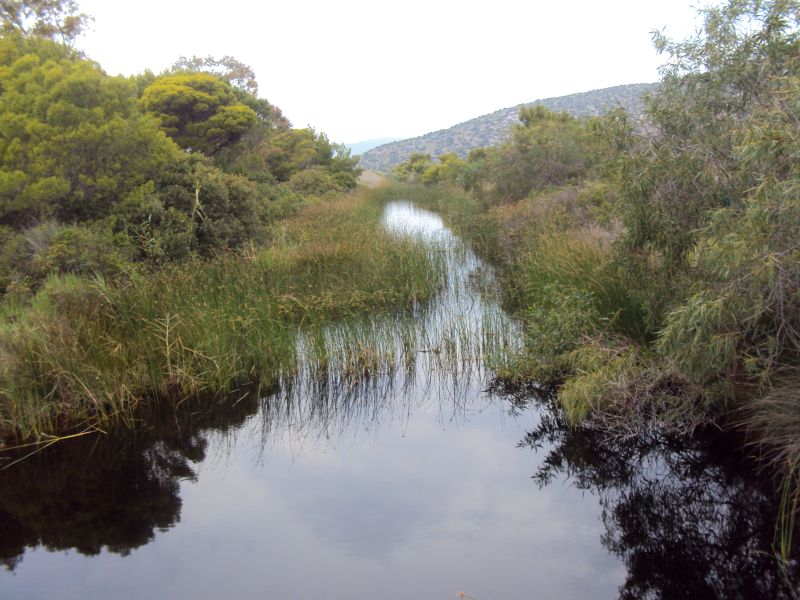
Starting through the wetlands
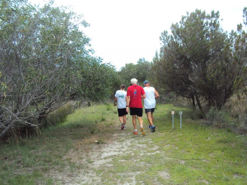
The public pathway
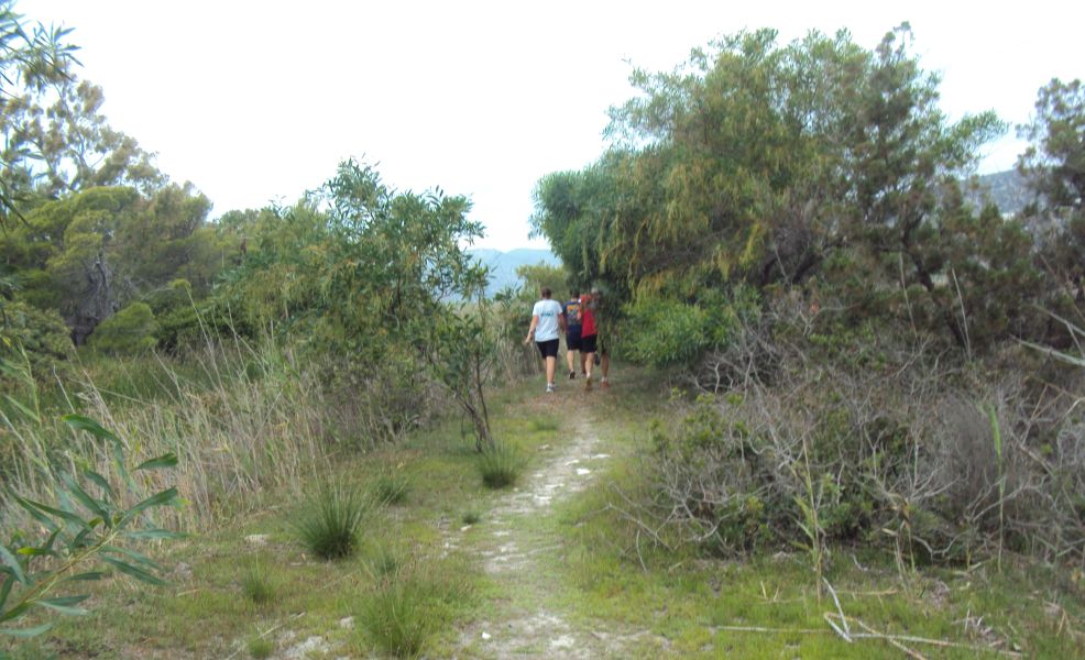
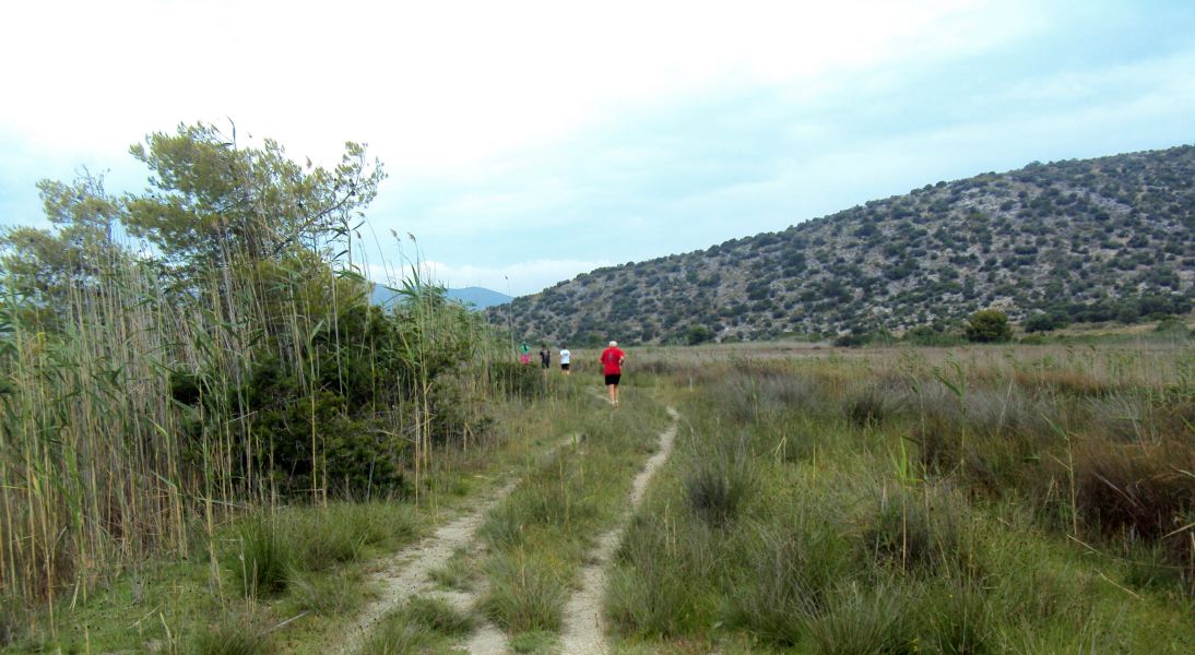
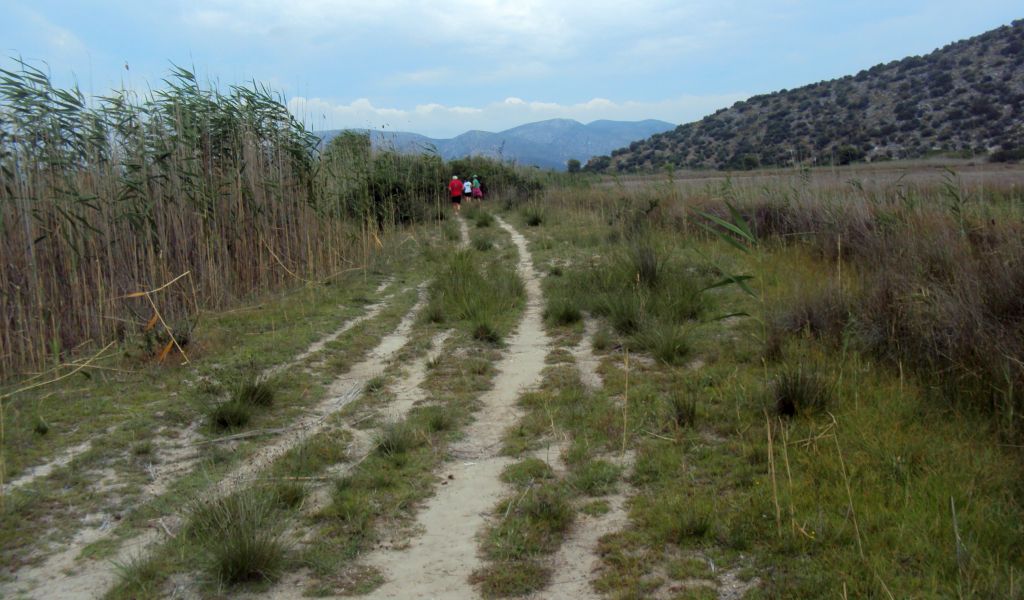

Panoramic view of the wetlands from the public path (looking North) >>>>>> SCROLL RIGHT to view >>>>>>
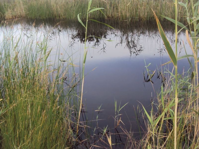
No sign of wildlife except for birds calling. Maybe we frightened them away?
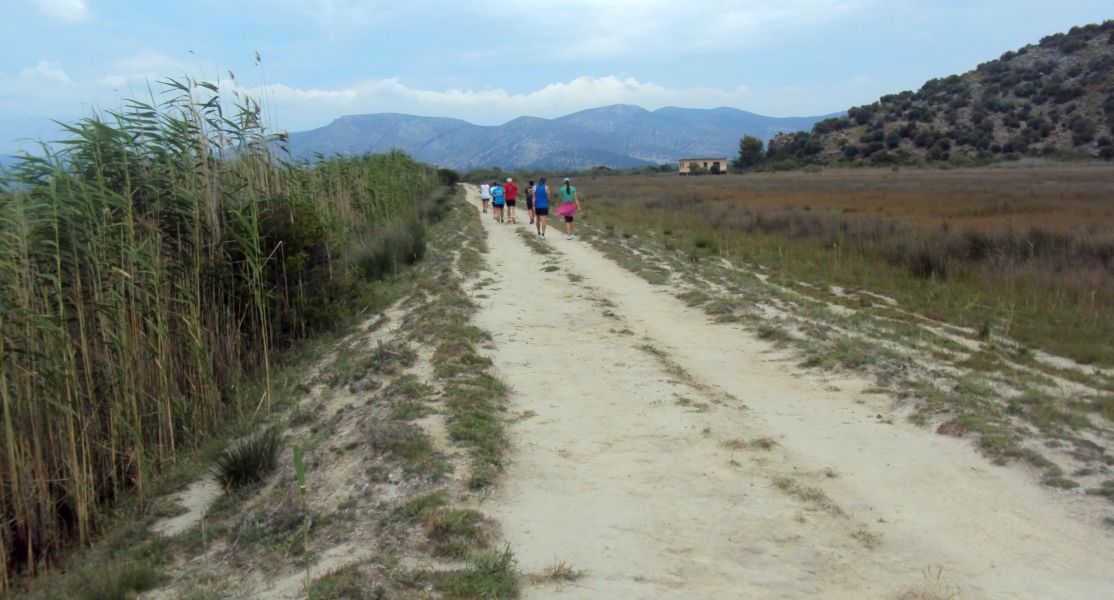
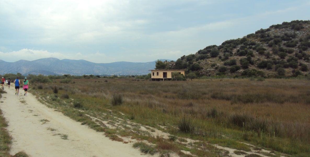
An abandoned illegal? home
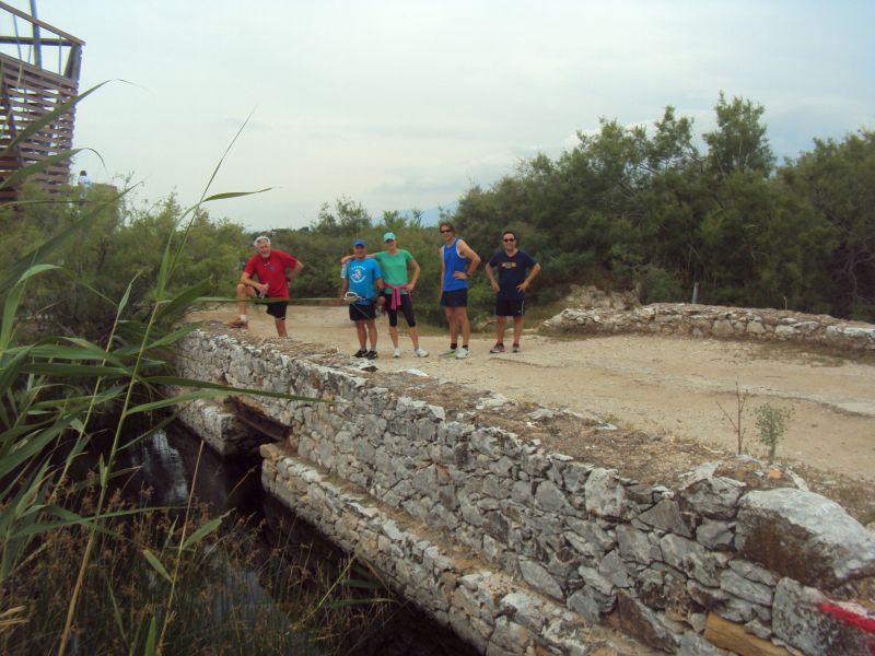
The bridge - heading back to the beach and tower #2
We had tried to continue along the original path but it was flooded.
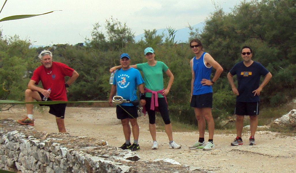
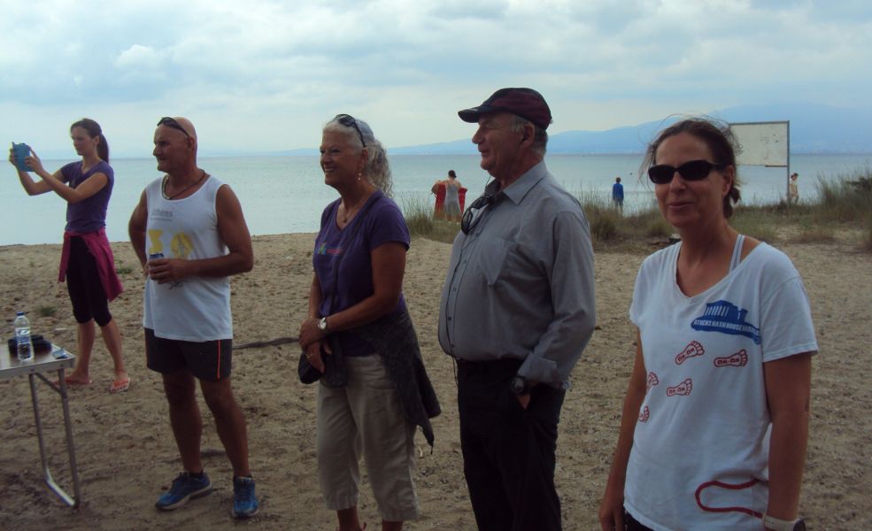
L-toR: Pussy Basher, Rear Entry, Spy Shagger, Amawanka, Nasal Ninja
Beat the Meat and Queen of Farts had already gone up the observation tower #2.
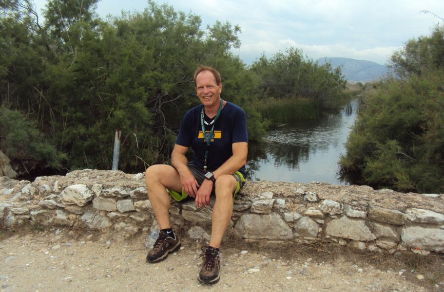
Mad Dog
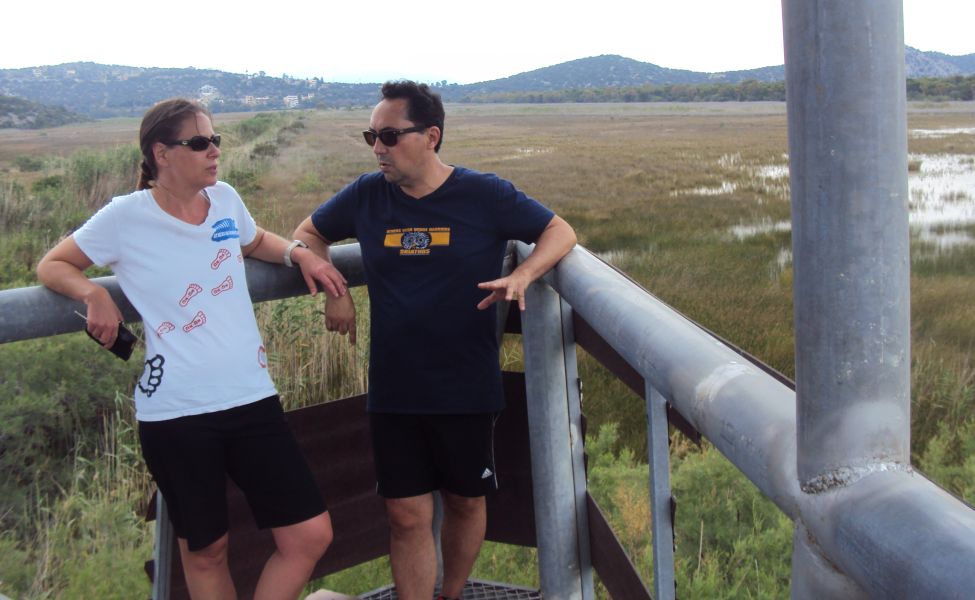

Panoramic view of the wetlands from the tower >>>>>> SCROLL RIGHT to view >>>>>>
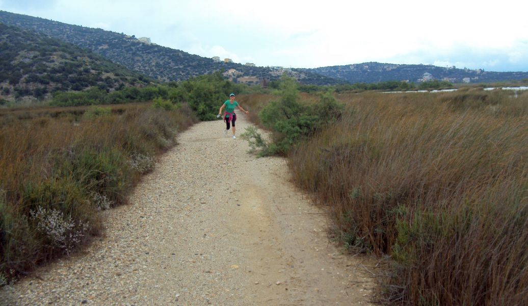
Spy Shagger catches up with us
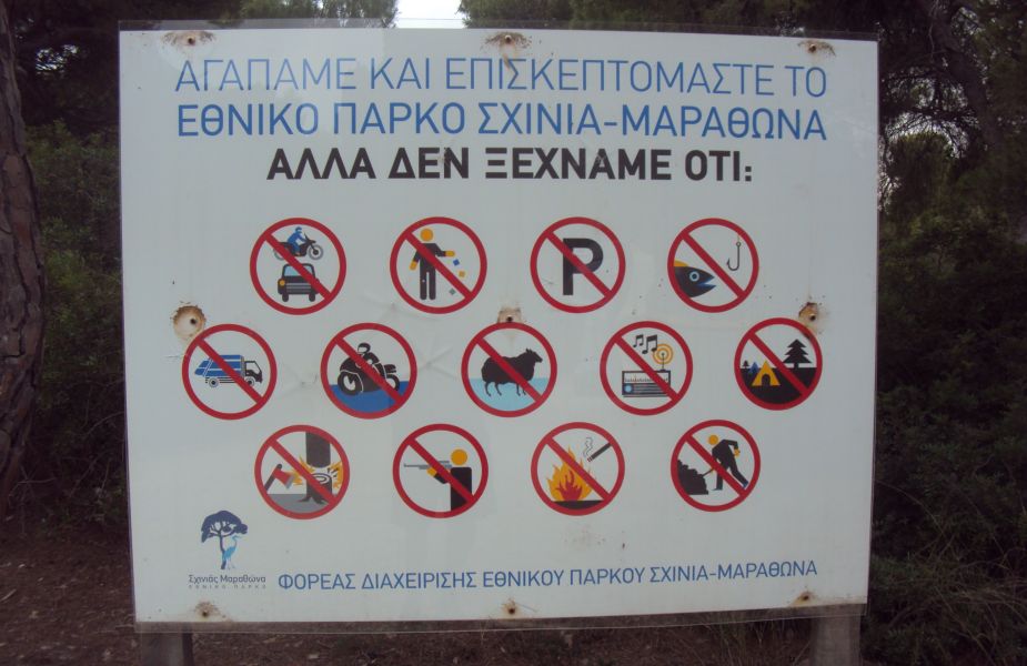
We reach the forested area of Schinias beach
Nothing is allowed :-)
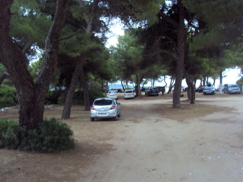
Nearing the sea (seems like the No Parking rule had been ignored)
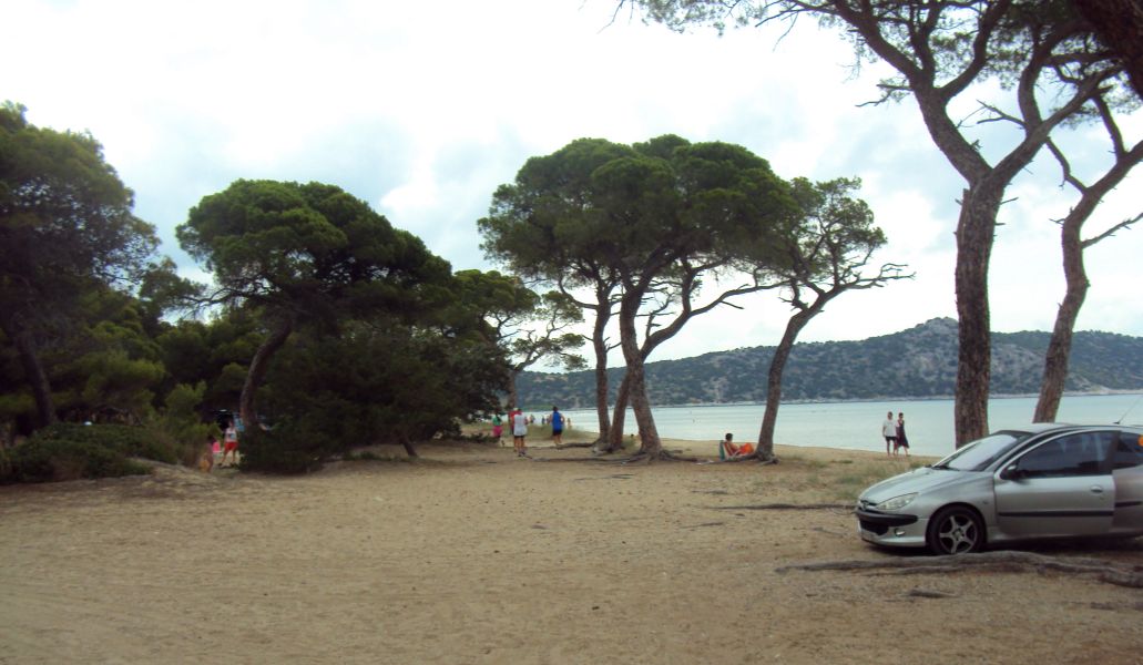
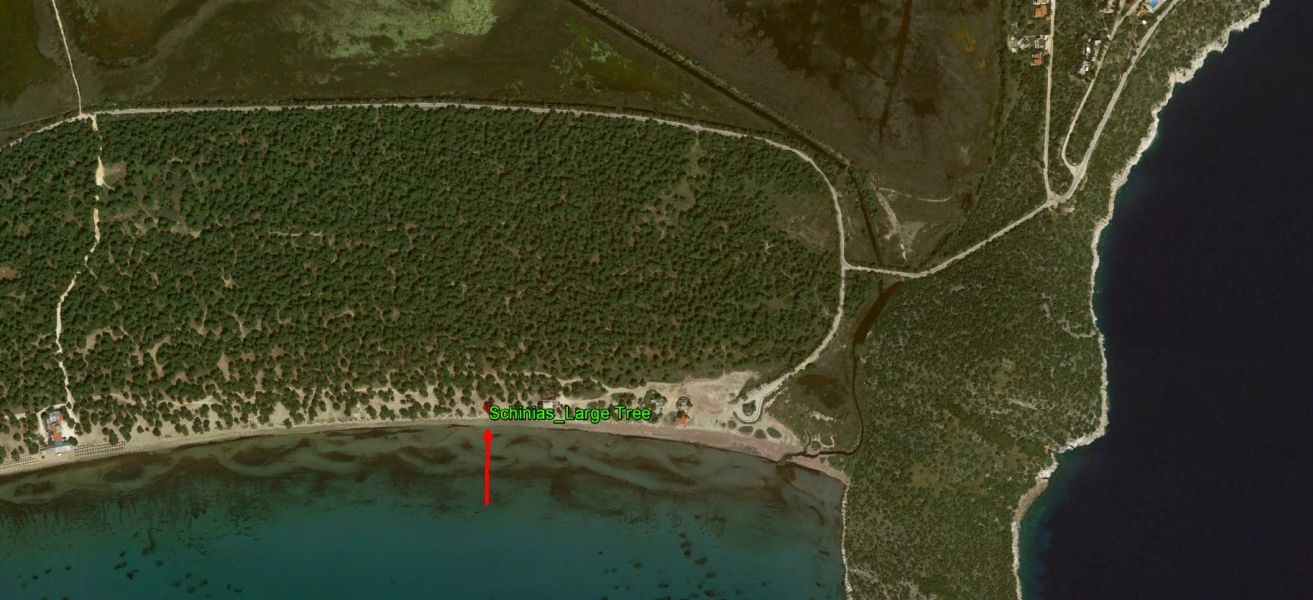
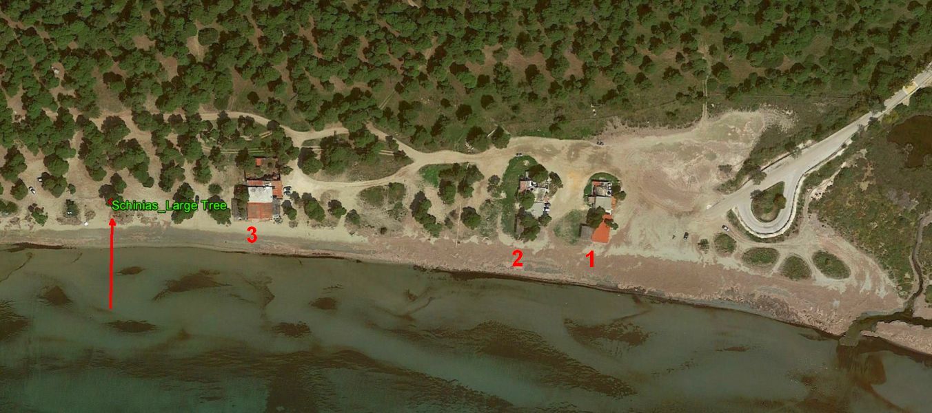
Running along the beach back to the start - under the large pine tree
|
The Circle
|
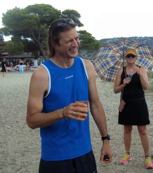
Hare #1 - Amawanka
Maggie in the background with the umbrella - for the sun or rain?
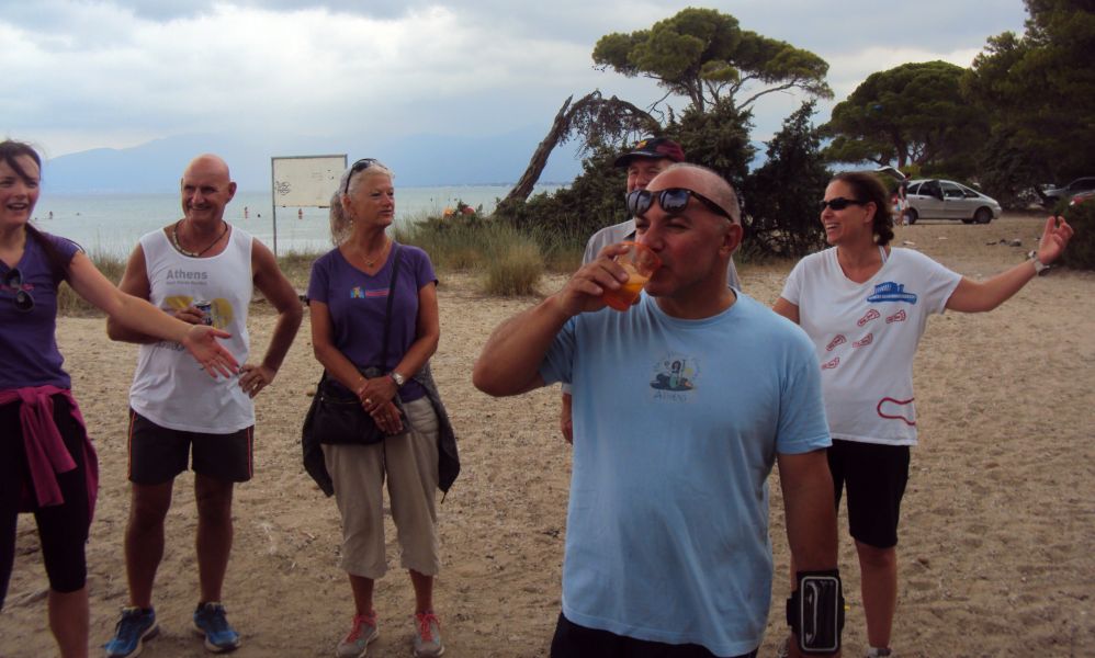
Hare #2 - Rear Entry
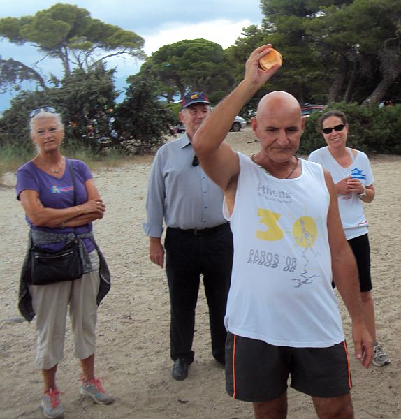
Hare #3 - Beat the Meat
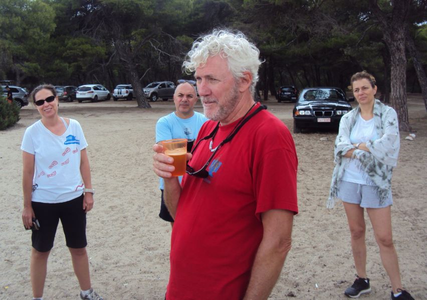
Hare #4 - Pussy Basher
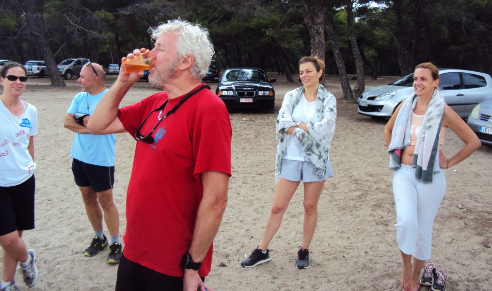
Kiki and new boots friend Georgia in the background
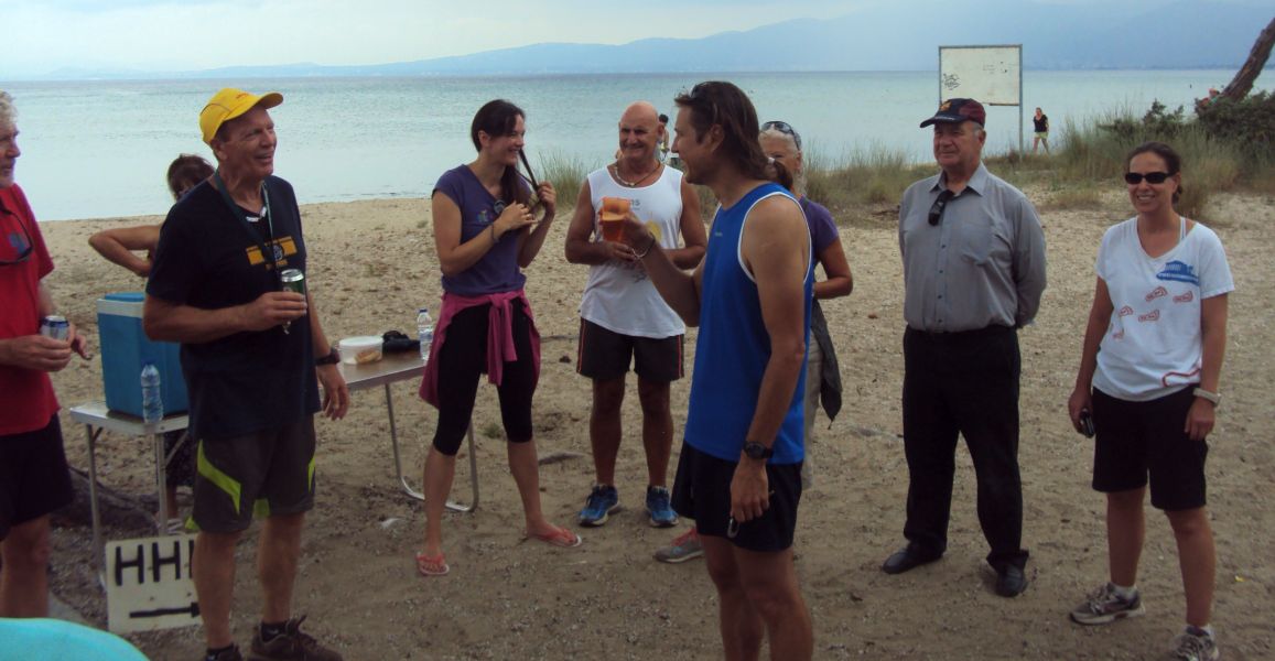
GM Mad Dog gives Amawanka a down-down for losing Captain Sumo on the run
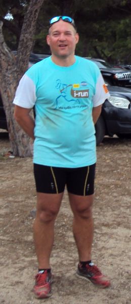
Captain Sumo - Not lost after all
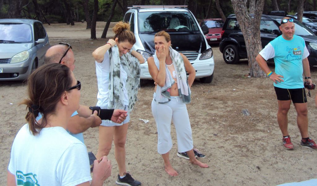
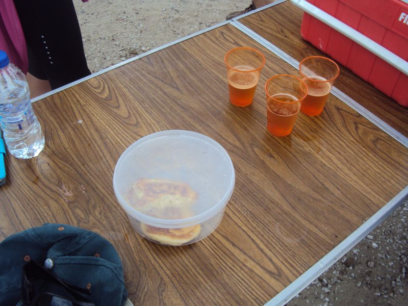
Doggy Style pouring down-down beers
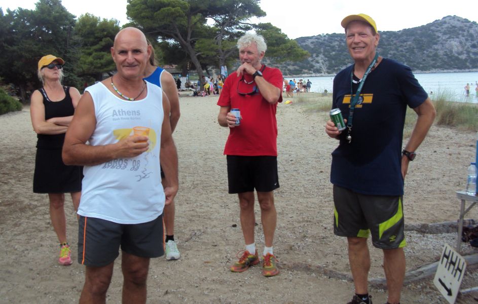
Beat the Meat lost two runners - Nasal Ninja and Queen of Farts
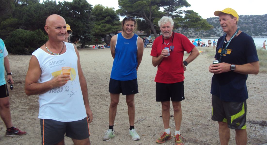
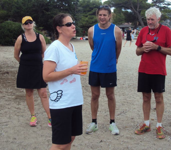
Queen of Farts explaining her fear of Crocogators in the swamp
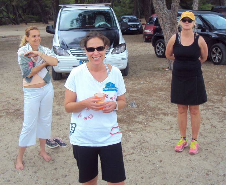
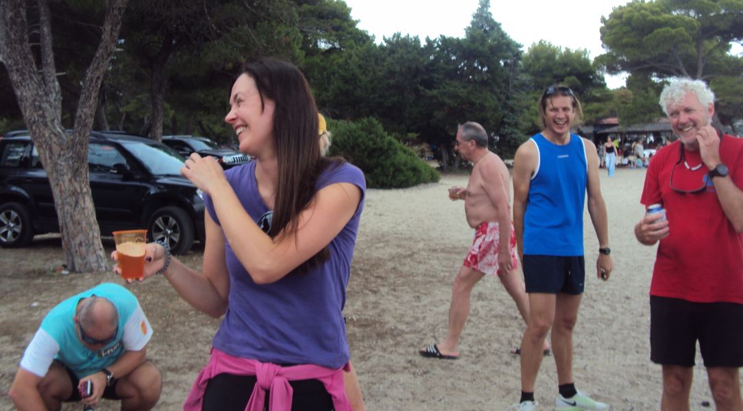
Spy Shagger for watering the trail
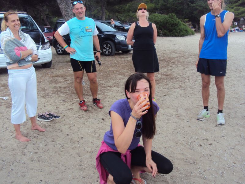
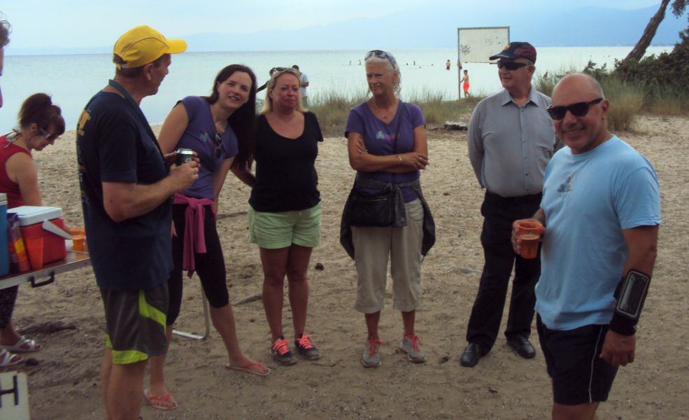
Clitoria not owning up
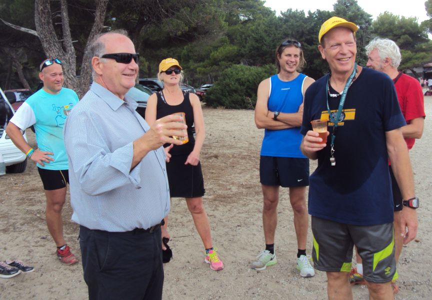
Oxymoron joins us for the circle - but drinks no beer
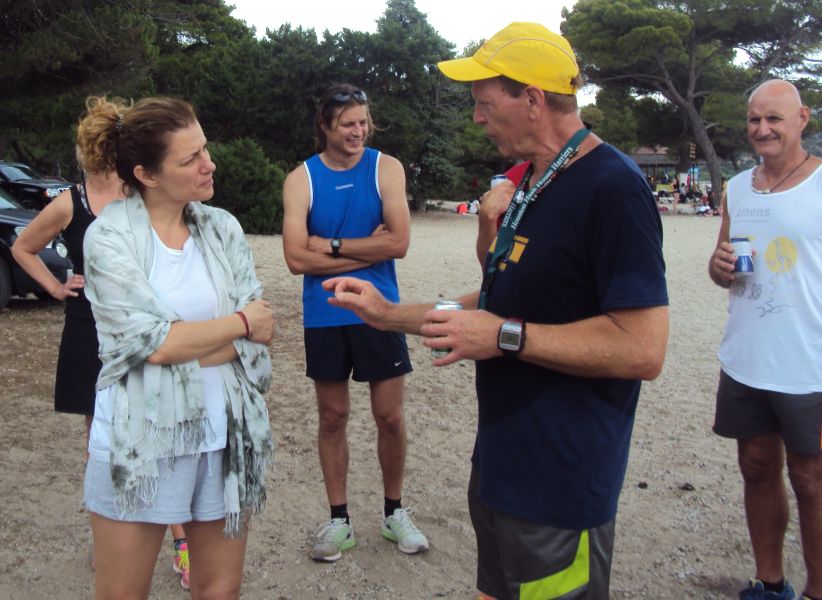
Georgia is asked the 4 questions
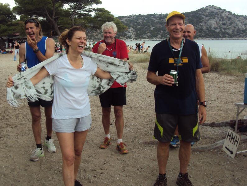
Well answered!
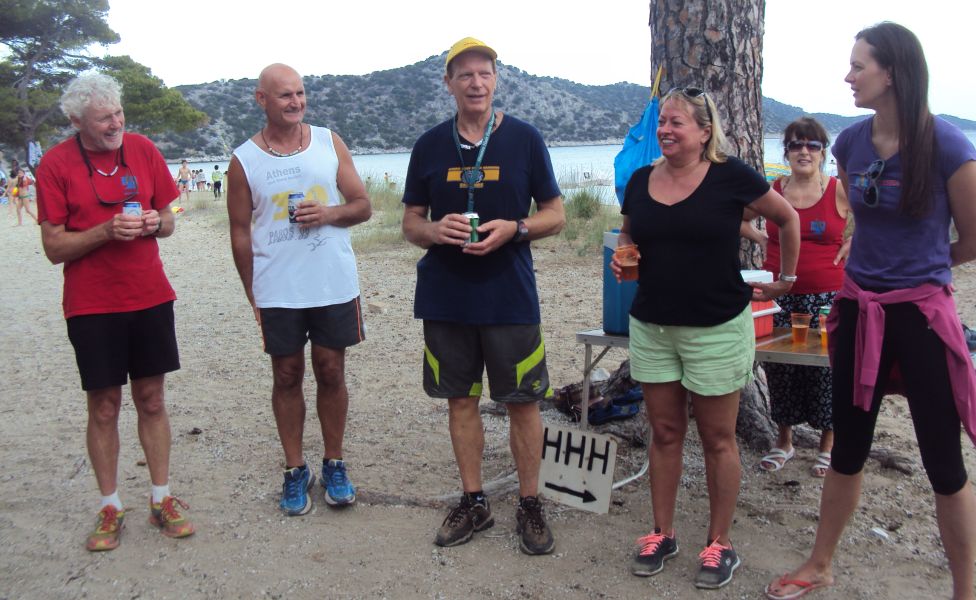
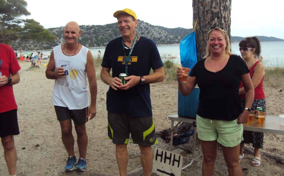
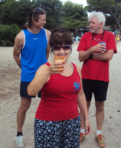
Doggie Style - for being beer bitch
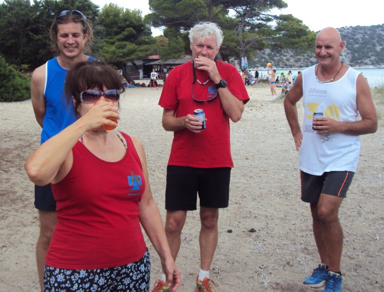
Down - down - down!
|
The Picnic
|
Most hashers changed into swimming gear after the circle and cooled off in the sea.
While swimmimng it started to rain (as forecast)
After changing, the picnic was set up on the table and eaten under umbrellas
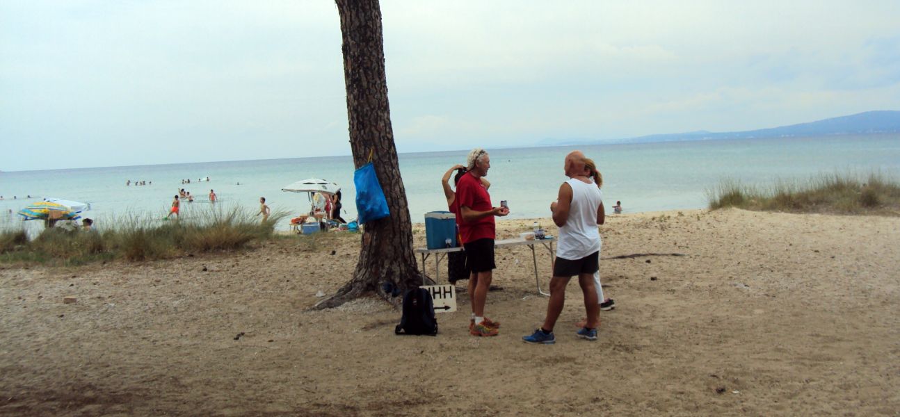
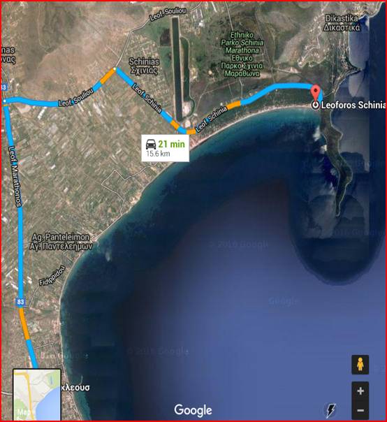
The directions to the hash - for the record |
Next AH3 [Athens Hash House Harriers] Hashing event:
Sunday 11th June – 11am
Hare: Mad Dog
Venue: Schinias [right at the end of the beach]
On Inn: Beach picnic
Hare: Runners - take turns in being a live hare – Walkers can have a
very nice stroll amongst the wetlands
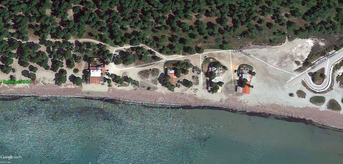
Venue: Schinias Beach [Go to the very end of Leoforos Schinias where it reaches the beach,
...then carry on right along the sandy road amongst the trees until you see hashers…under the big tree after the 3rd beach bar]
On Inn: PICNIC! Please bring food / booze to share etc…..
[also the weather looks to be good so bring your swimming costumes ]
Schinias Beach:
Method
1
(easy / scenic / moron / waste of petrol route):-
Go northwards up Kifisias Ave, continue past Kifisia / Erythrea / Ekali for
5km and turn RIGHT at the road signposted to Nea Makri. Keep on this road,
continue past Dionysos and past the German Cemetery. A few km after this you
will reach the Cafeteria PANORAMA at Agios Petros. *Continue right doooooown
the mountain and turn LEFT at the traffic lights at the bottom (opposite the
big church & AB supermarket at Nea Makri junction). Carry on along here
for about 7 ks & turn right at the big supermarket onto Leoforos Souliou
towards Schinias, then **.
Method
2
(shorter / mensa candidate route):-
Coming from Athens centre, take Leoforos Pendelis which leads you to Pendeli
village. From Pendeli take the road which goes across the mountain to Nea
Makri, at some point this road meets with the PANORAMA Cafeteria at Agios
Petros then * and **.
** After 6 k turn right onto Leoforos Schinias and keep on Leoforos Schinias [don’t turn right at traffic lights just before the coast] until it comes out at the sea i.e. the very end of the road.
GPS coordinates For Sat Navvies: 38.14333, 24.05100
(ACTUAL PICNIC LOCATION UNDER TALL TREE: 38.143253, 24.046863 )
Lost? Directionally challenged??
Call
the hare: Mad Dog 6932 511339
