|
|
|
|
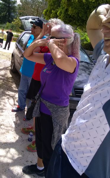
Photos:
CU Adrianos
Trail image: Pussy Basher
Web page: Mad Dog
|
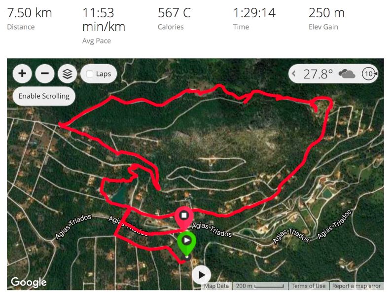
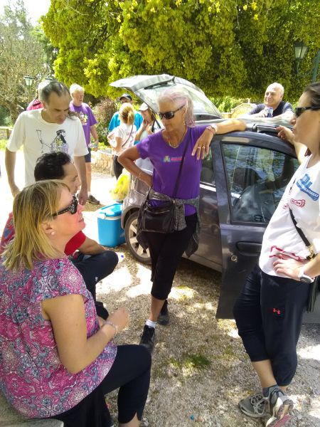
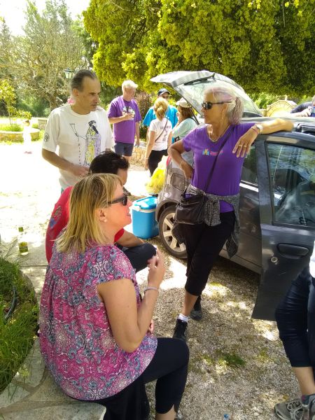
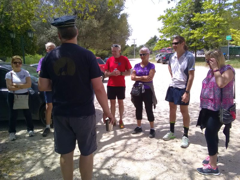
The Trail
|
|
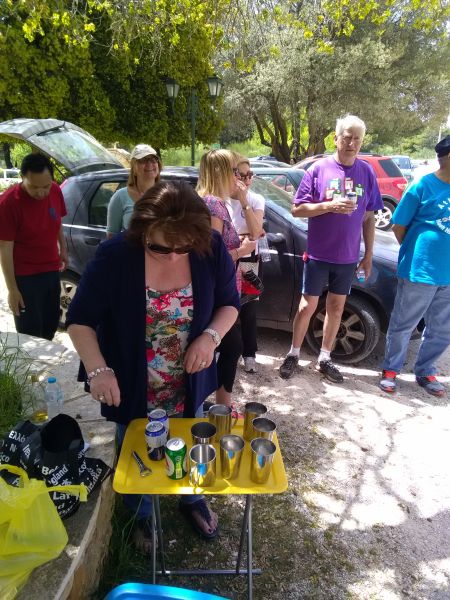
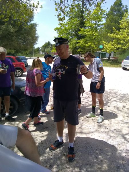
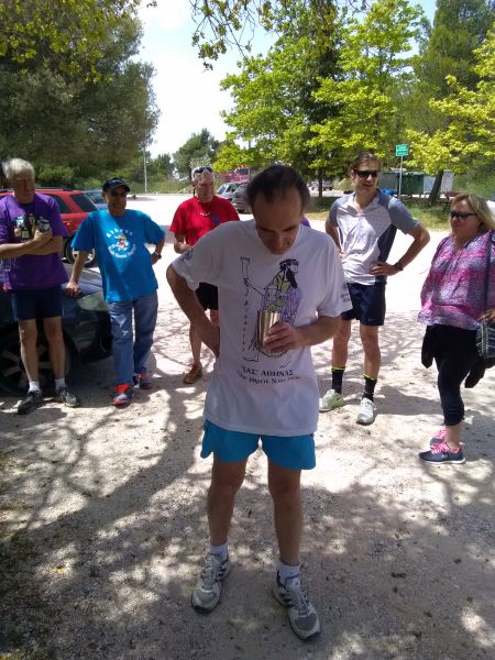
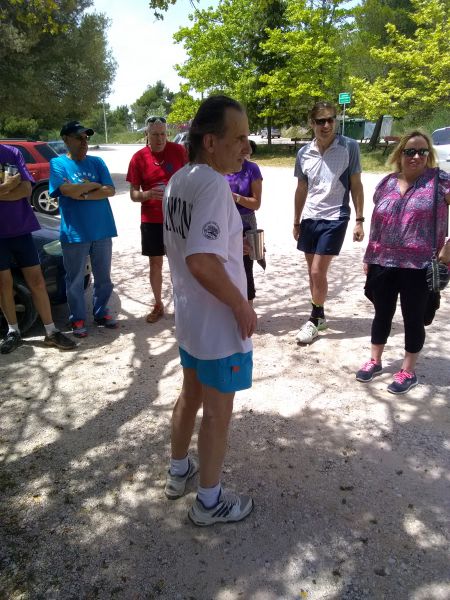
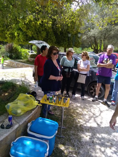
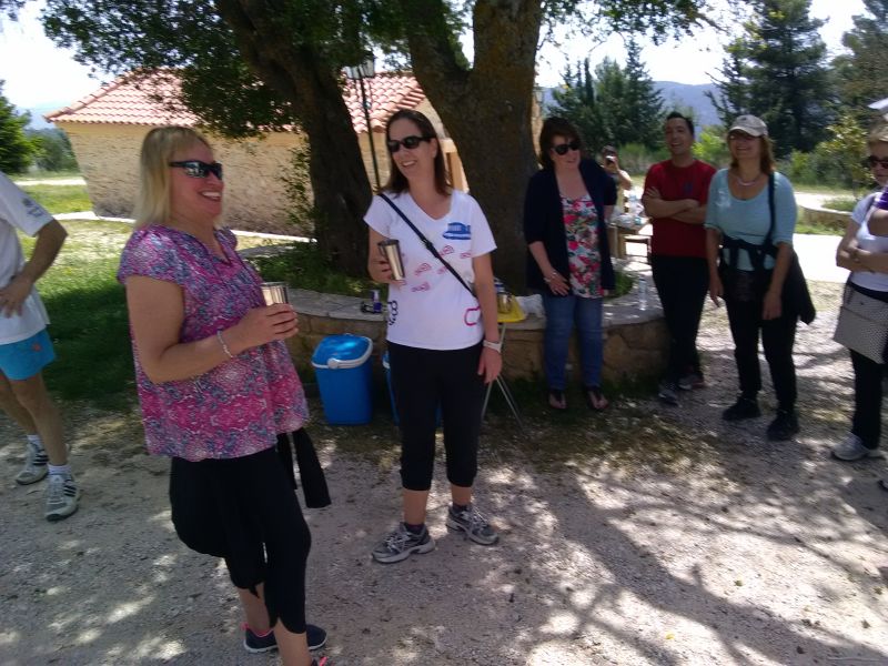
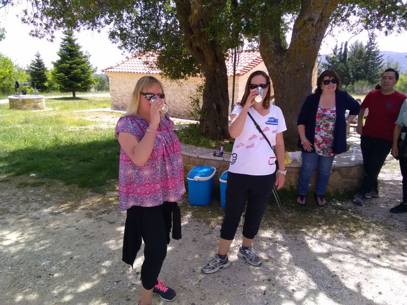
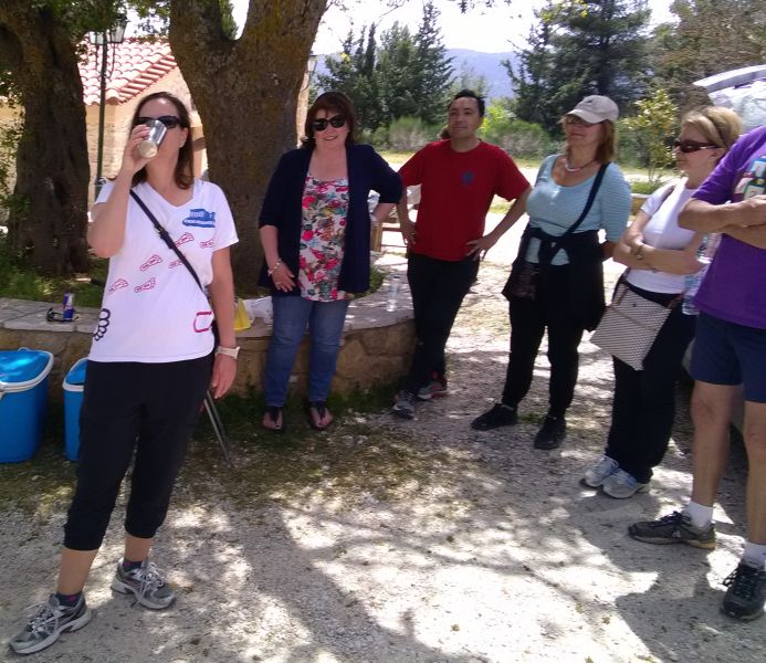
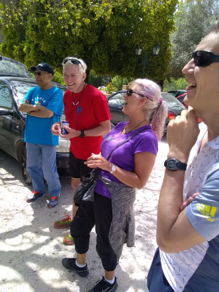
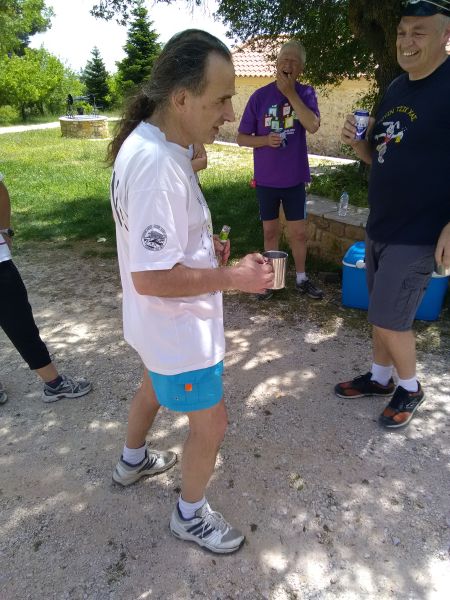
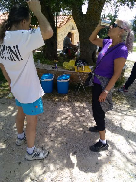
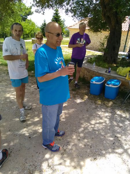
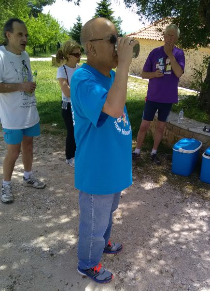
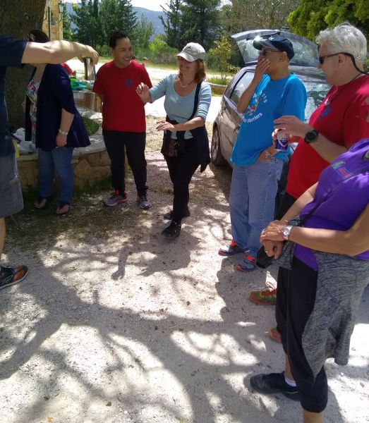
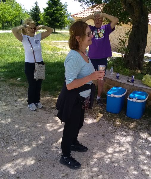
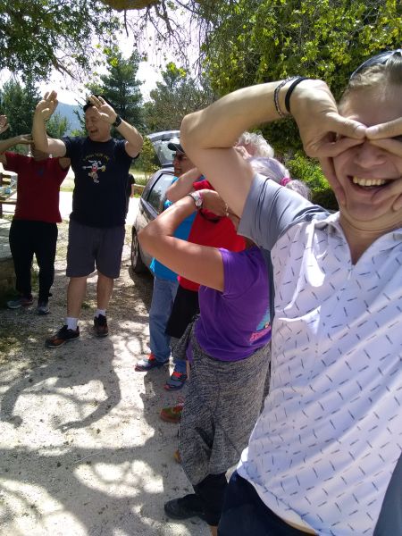
The Circle
|
The directions to the hash - for the record |
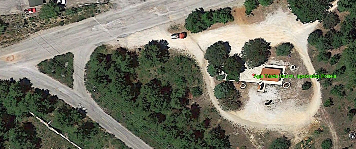
Run will start next to Ag. Triada church (coordinates 38*12'39" N 23*48'36"
E )
If there is a church function, we might move a bit further to the nearby lake
parking lot so they don’t disturb us...
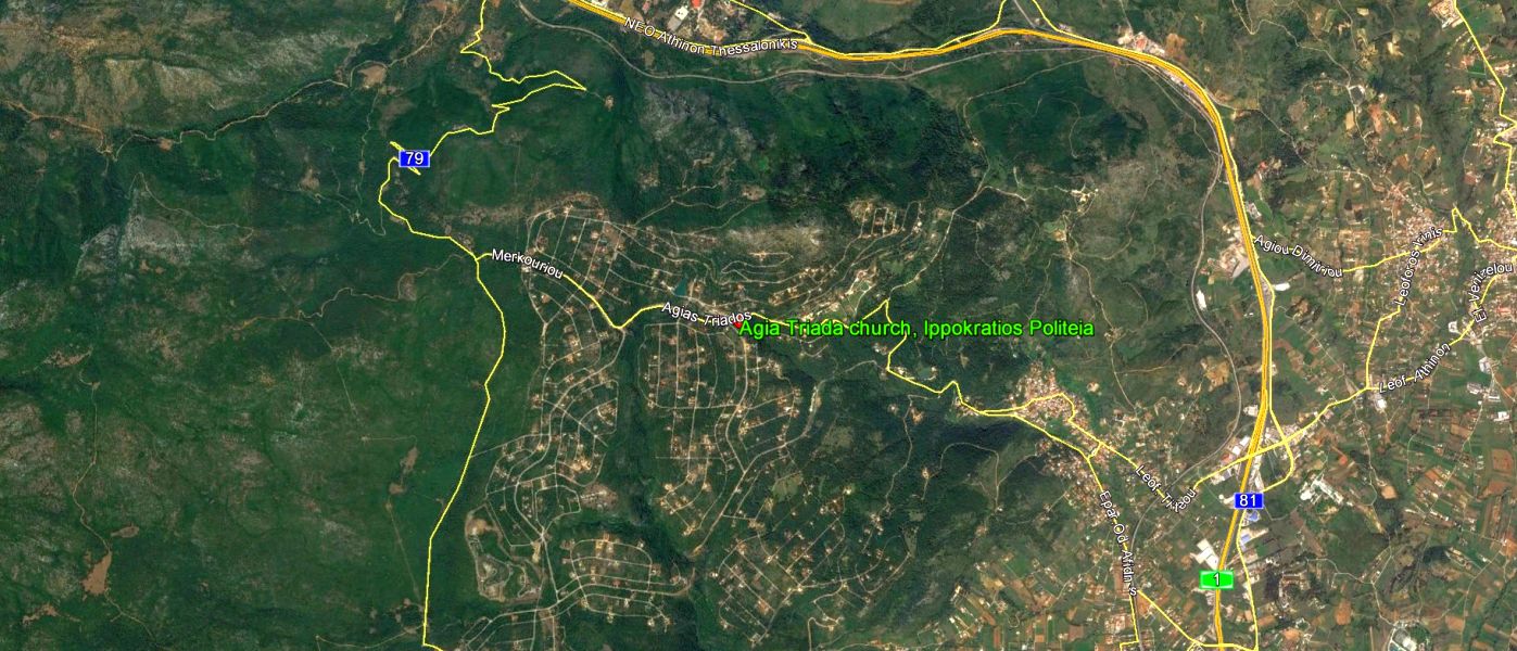
On
the National Road ( Ethniki Odos) going north take exit for Ag Stefanos [right],
bear right at the bottom of the exit road and then after 100ms at the traffic
lights turn left. You are now on the slip road [old National Road], next to
the National Road, keep going for approx. 5.5km.
When you come to a T junction crossing over the National Road turn left for
Afidnes/Kiourka keep going for 1+ km.
You are now on Afidnes Road.
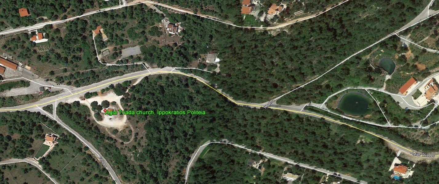
Just before the village square, at sign 'Ippokratios Politeia (left) Kentro/Center
(right)' go left, uphill for 3+ km (twisty road) where you will join Agias
Triadas road.
Church is on your left.
(Do not be tempted to go directly for the Afidnes exit on the National Road, for you will pay tolls - just before you exit !)
Alternatively, you can take the slow scenic route, go to Varibobi / Royal
Estates, carry on up to Katsimidi past the 'Lambros' taverna for approx 3km
then right at the junction towards Ag. Triada (1+ km).
GPS coordinates: 38*12'39" N 23*48'36" E
Lost? Still drunk from the night before? Directionally challenged?? Just plain stupid????
Call the hare: RimJob @ 6977 5323 00