|
|
Run 1899 |
7.0 km |
|
38° 4'42.81"N, 23°51'39.34"E Altitude: 558 m |
Photos Captain Sumo & Mad Dog, Web page: Mad Dog
The
Trail |
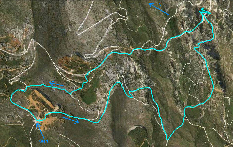
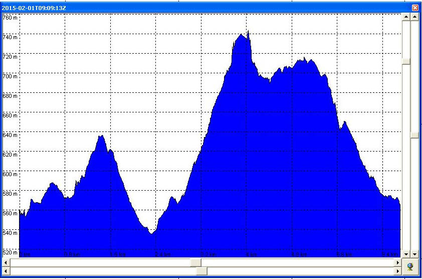
The runners altitude range was (740 - 535 = ) 205 metres
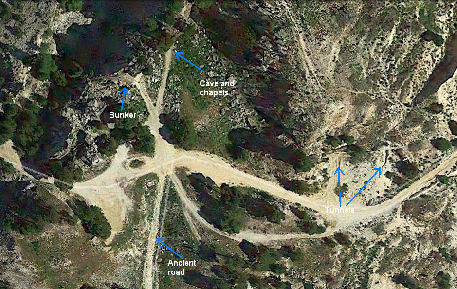
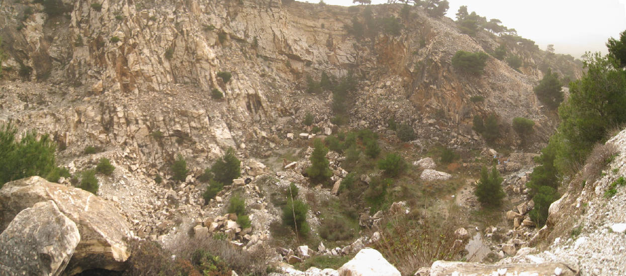
The Davelis cave area.
Notice the ancient road down which the marble blocks from the quarries were taken
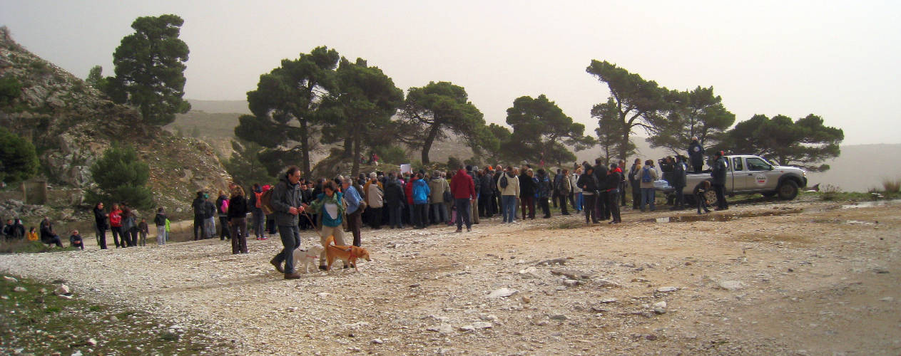
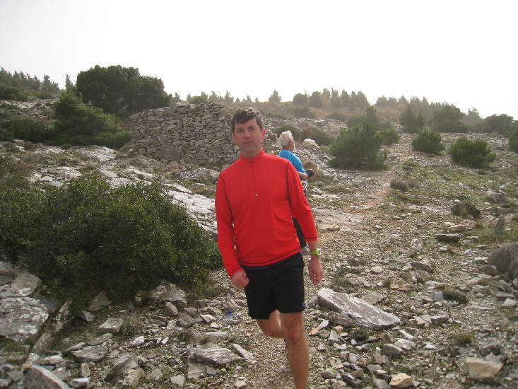
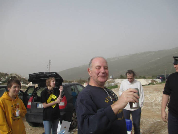
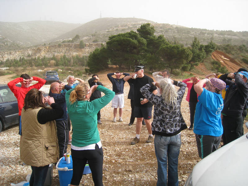
Before the run |
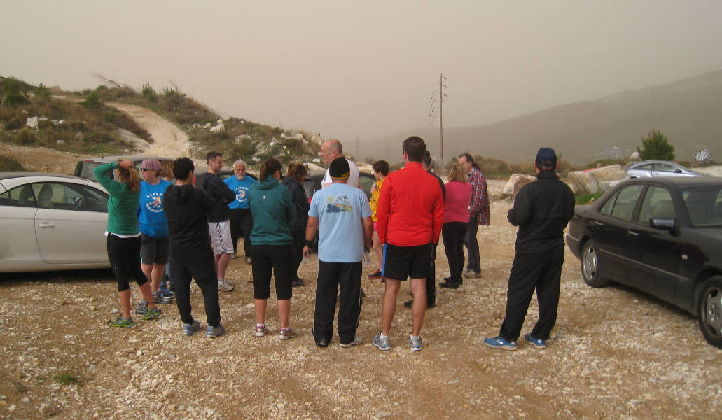
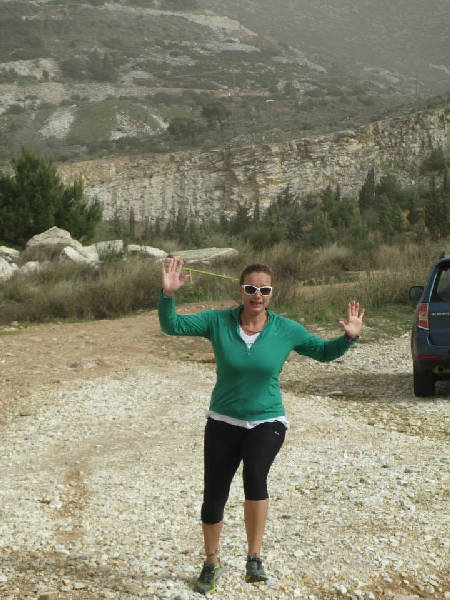
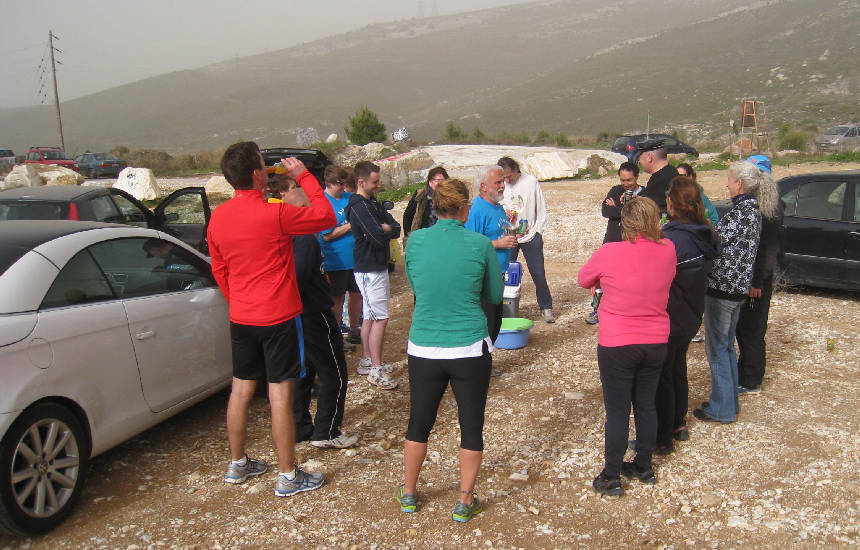
Dust from Africa fills the air as the hashers circle for the hare's explanation of the trail
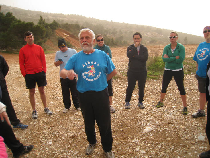
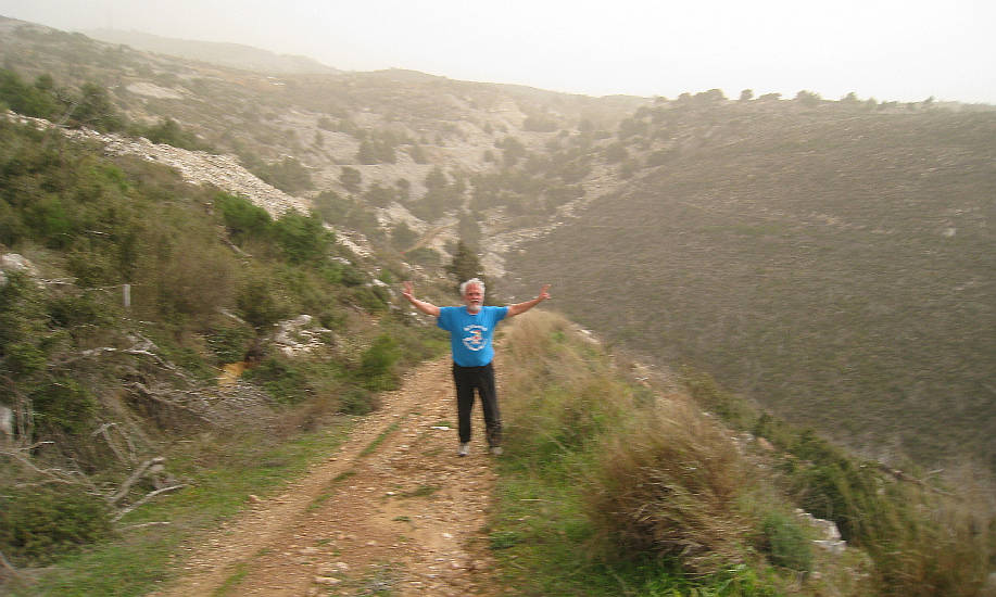
The hare Mountain Goat briefs the runners and walkers
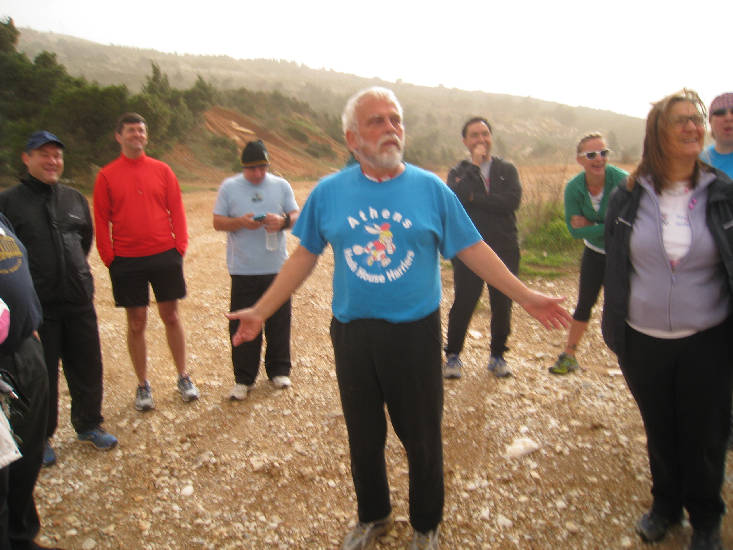
What? Do you think I'm misleading you?
The
Run and Walk |
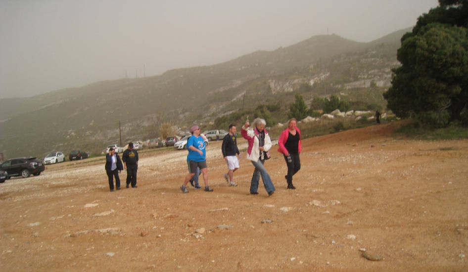
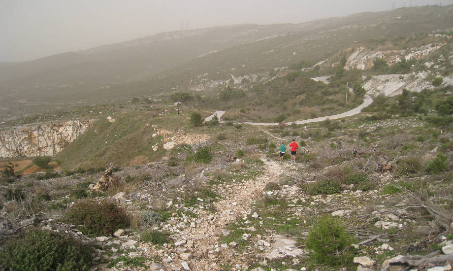
The walkers group sets off
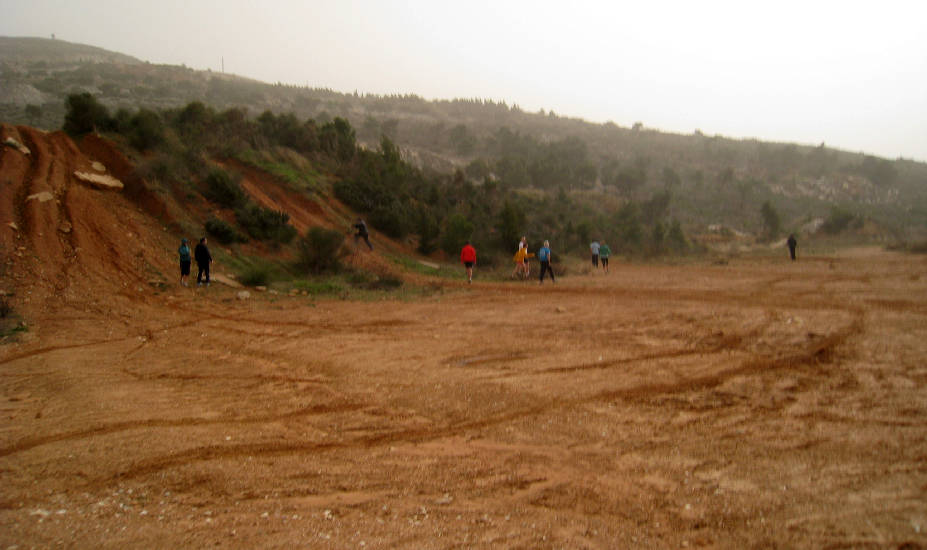
And the runners start off in the wrong direction
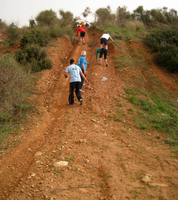
The hare brings the runners back and directs them up the steep and slippery slope
Most of the runners make it up but some slide down and try another route
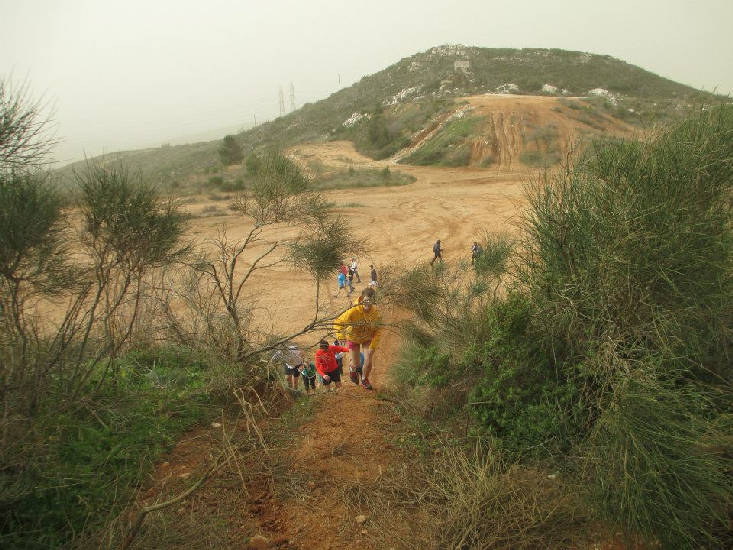
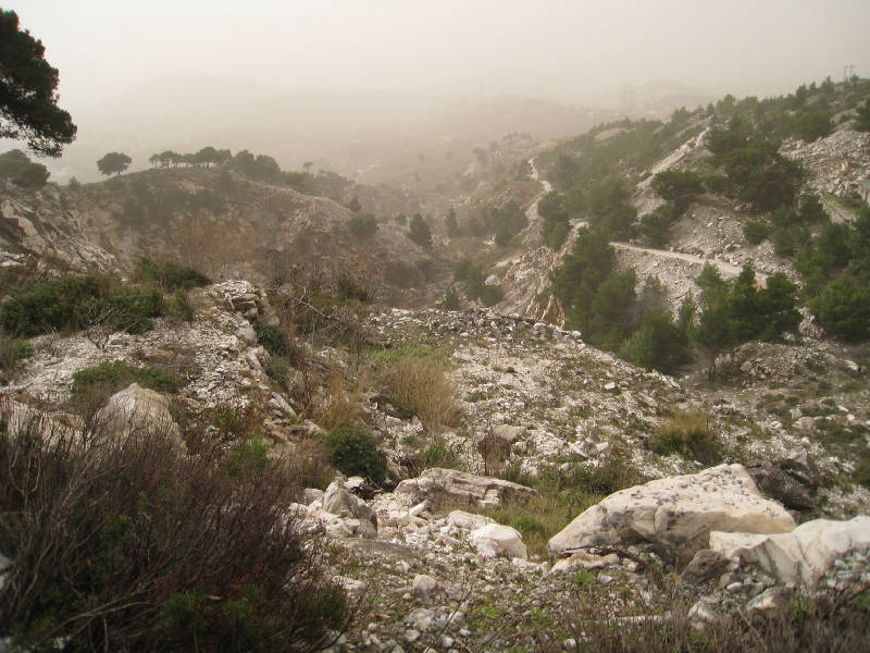
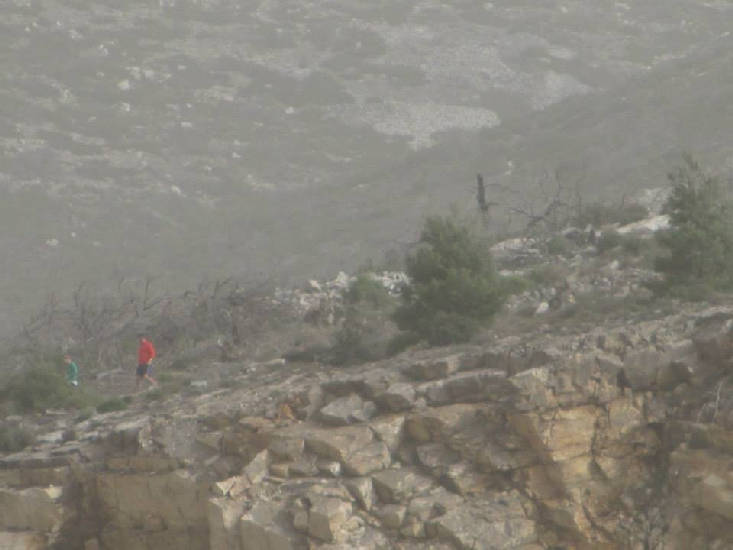
The dust is not going away
Mountain Goat leads us into the old quarry areas
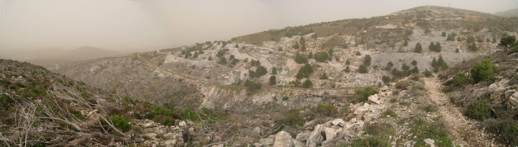
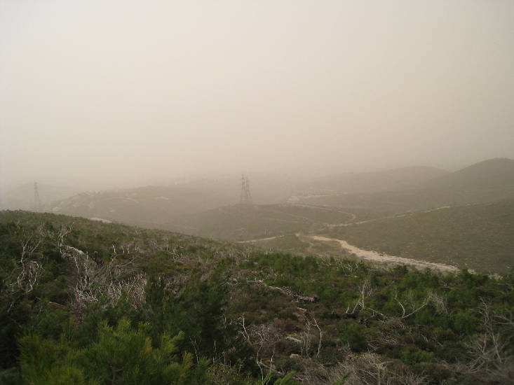
>>>>>> Panoramic view >>>>> SCROLL RIGHT >>>>>
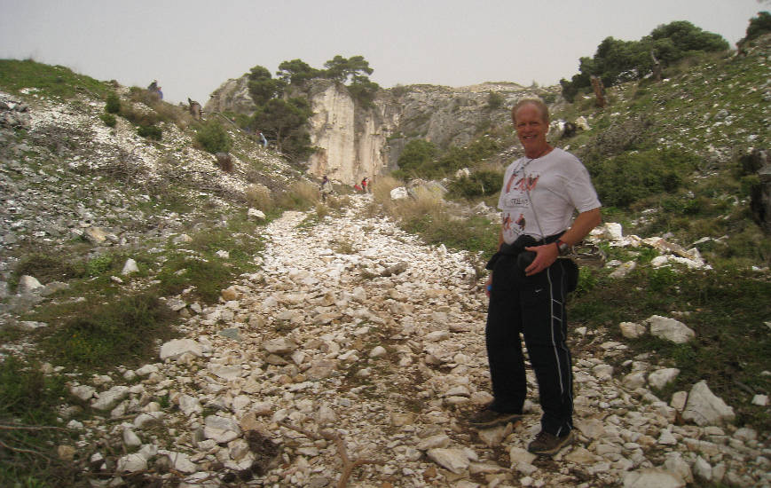
Knob Goblin checks out the trail
Mad Dog looking wild in the wind
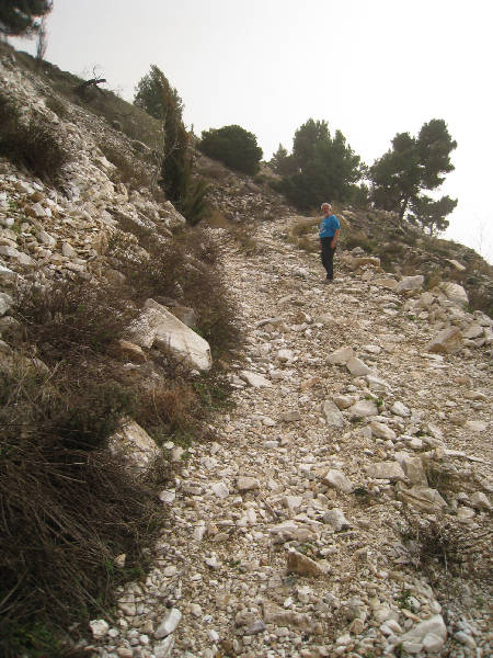
Mountain Goat's trail takes us up the quarrymans paths
There are signs of marble quarrying and spoil from the quarries everywhere
Heading up the ancient roadway to Davelis cave

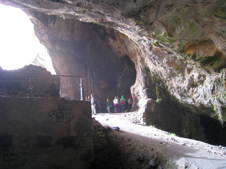
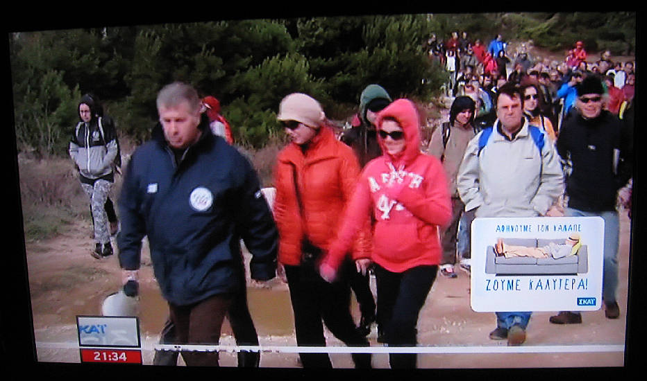
The entrance to the cave is filled with visitors from Skai TV's organized walk this day
Captain Sumo's photo from inside the cave
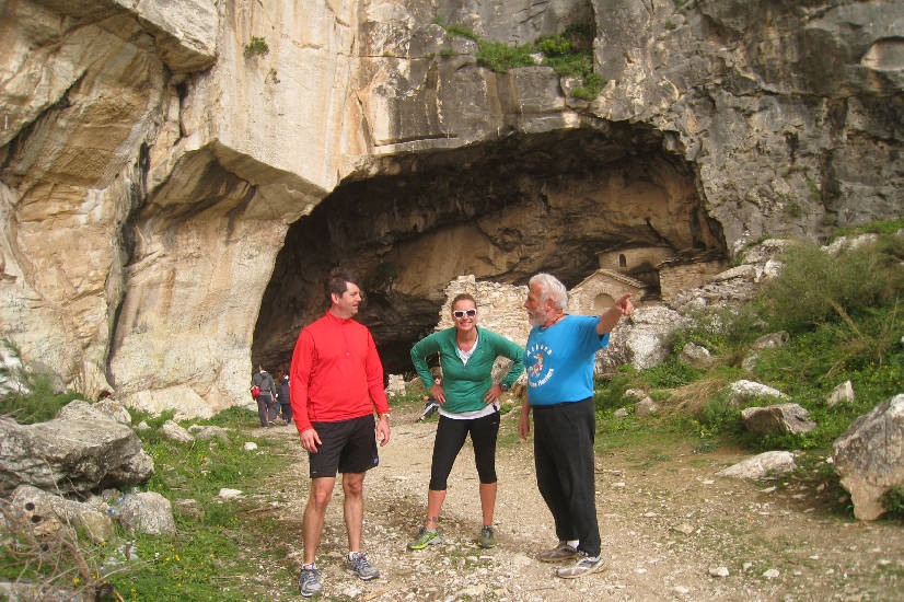
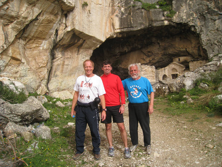
We arrive shortly after and pose outside the cave
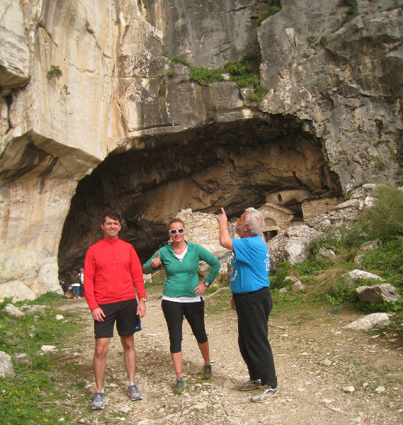
Mountain Goat points out the rock climber's route up the rock face
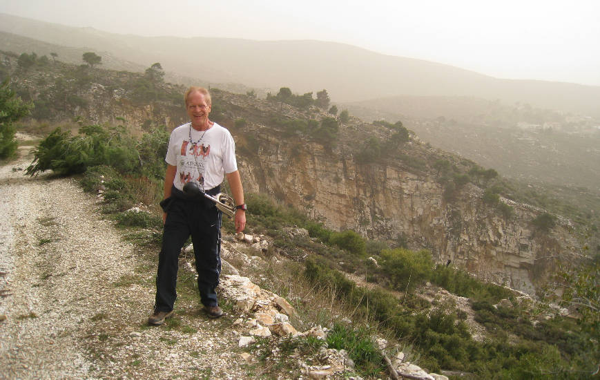
We blew the hash horn and startled the visitors to the cave
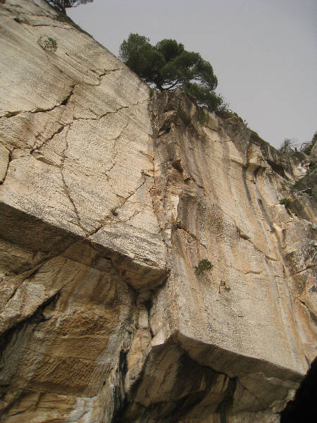
The rock climber's route
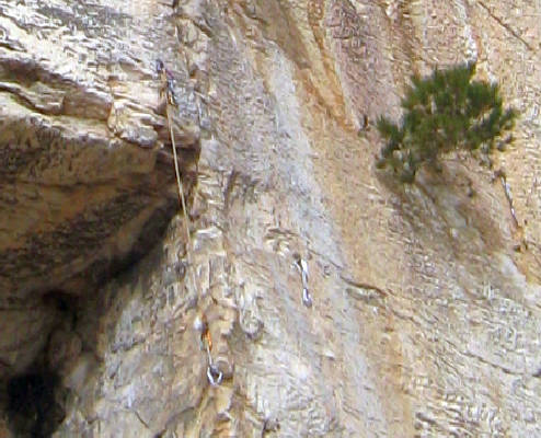
A close-up of their rope, pitons and carabinas left on the rock

The Byzantine chapel as seen from inside the cave
The entrance to the cave (and the group of visitors) as seen from the inside
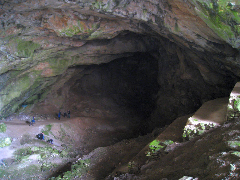
Looking down into the cave. It's huge size can be judged by the size of the people on the path
>>>>Panoramic view of the crowd of visitors being briefed by the Skai TV representative >>>> SCROLL RIGHT >>>>
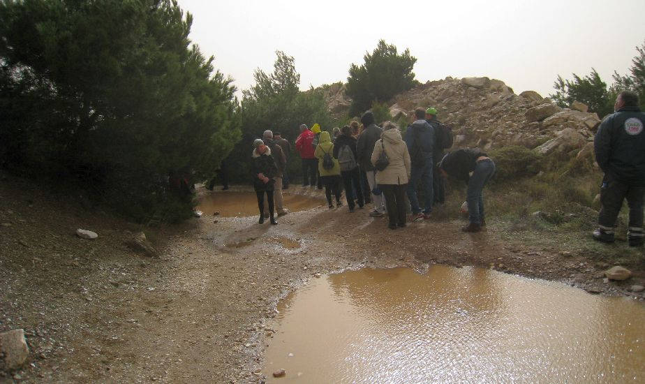 Visitors on the way to the cave trying to skirt around the large puddles
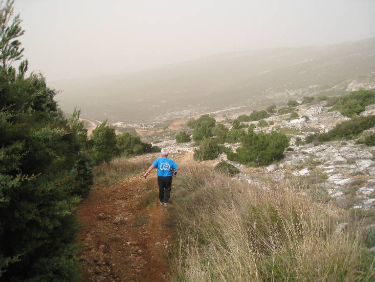
Mountain Goat heads on down
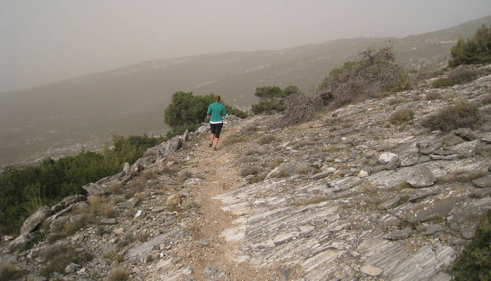
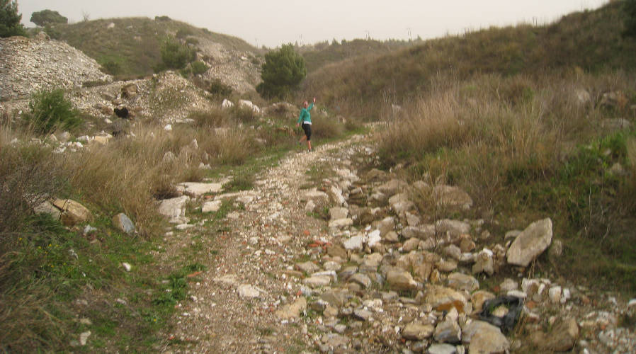
Knob Goblin on trail
Frosty Nuts on the way down
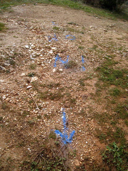
On In marker
Knob Goblin reaches the car park and end of trail
The
Circle |
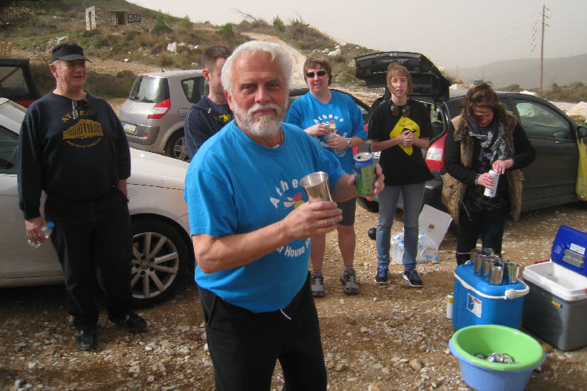
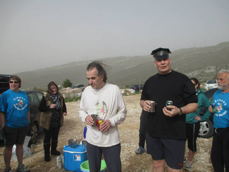
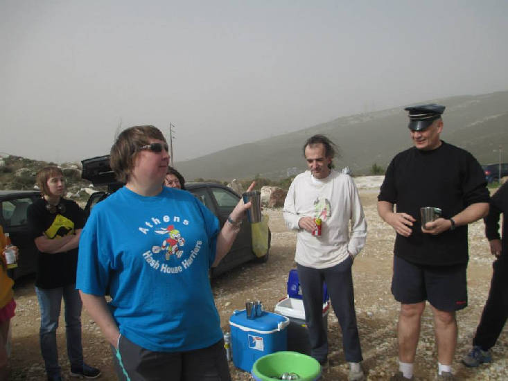
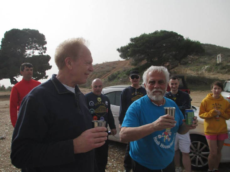
The hare's down-down
One way to hold your bottle
Oxymoron
Fair Cop's flying club down-down for slipping down the initial slope
Rim Job with RA Fair Cop
Mad Dog with Mountain Goat
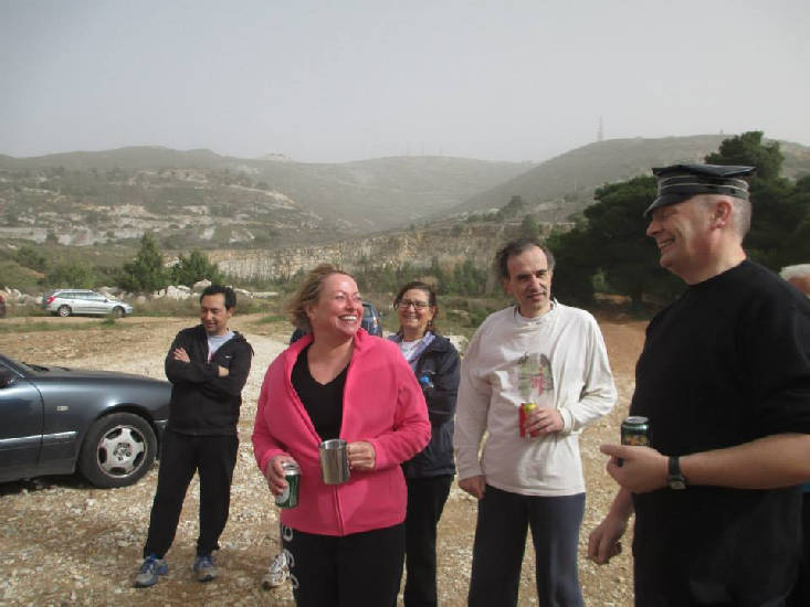
Coke Dealer
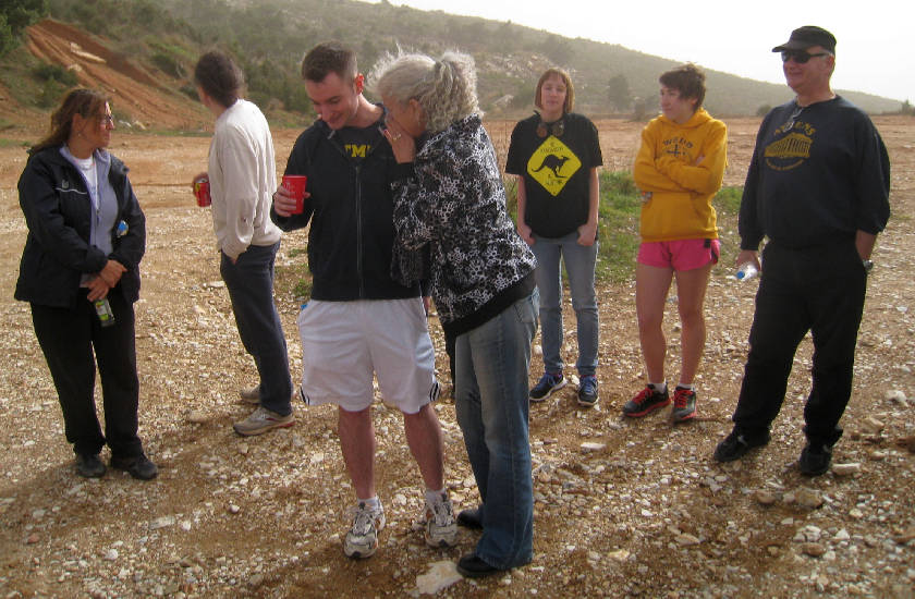
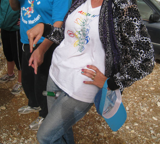
Clitoria with a virgin hasher (new boots)
The
Skai TV organised walk to the Davelis Cave |
The group walk up from the monastery and head for the cave
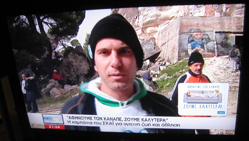
Their leader has a megaphone to address them
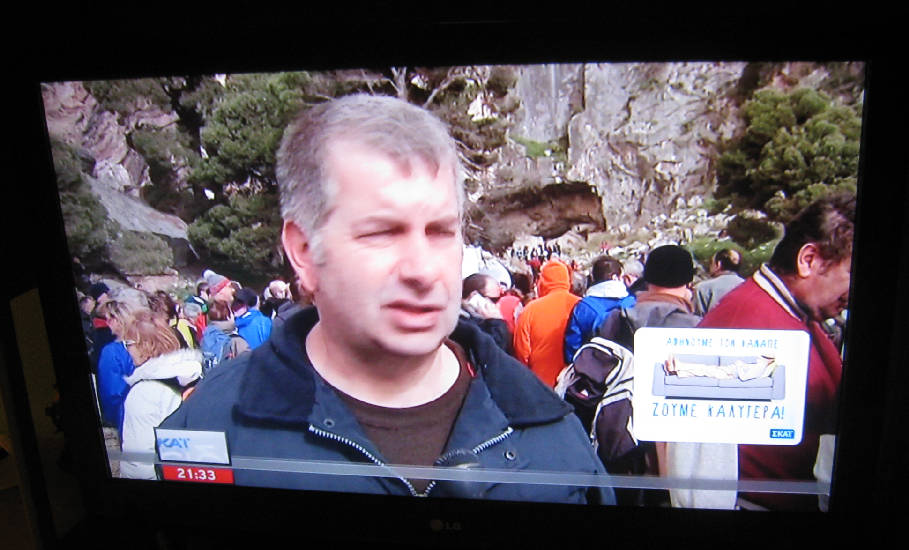
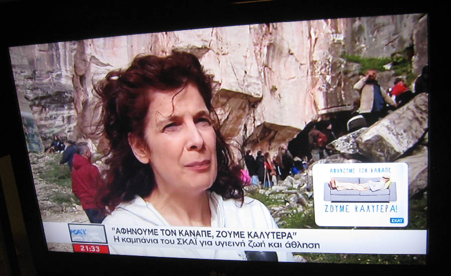
The leader being interviewed
Looking into the cave
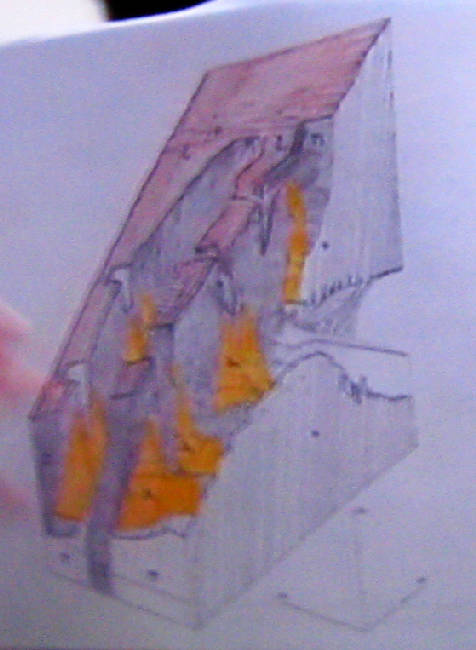
A lady holds up a diagram (this is a close-up)
But what is it of? It doesn't look like the cave.
A picture of the robber Davelis can be seen in the background - painted on the concrete military bunker outside the cave
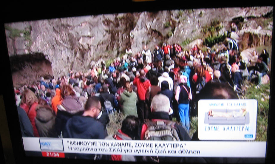
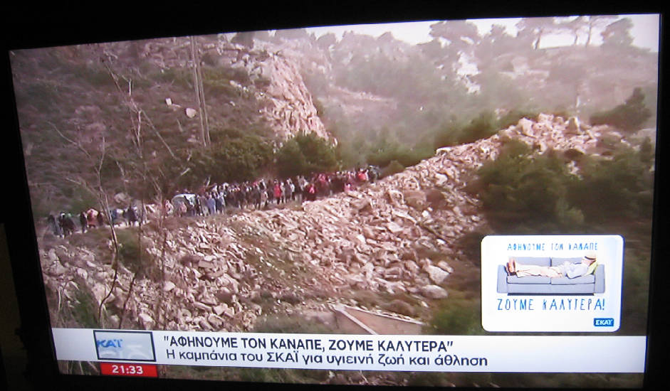
A well publicized and attended event
Well done Skai - for getting so many people out walking and exercising
-----------------------------------------------------------------
No Taverna today (Only FC & WD >> Christina, Loutsa)
The directions to the hash - for the record |
Sunday 01st February 2015 - 11am
Hare: Mountain Goat
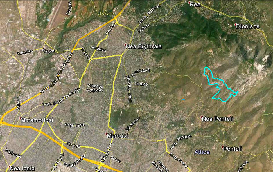
Venue: Mount Penteli
On Inn: local taverna
Directions:
From the centre of Athens -OR from Kifisia area - OR just about anywhere really cos I can’t be bothered to do directions from anywhere else:
Go up Kifisias Avenue & continue through Kifisia
After 2-3 Km you come to Nea Erithrea
Pass an AB supermarket and a cinema on your right
At the next traffic lights (Shell garage opposite & Alpha Bank on the right) turn RIGHT
You are now in Harilaou Trikoupi carry on for 1.6Km
Turn left at the second lights into Xenias street – this is just after Kokkinara St.
Carry on almost to the end of the road [ex Mustang stables] (Our run of three weeks ago started from there)
Just before the (ex) stables turn left into Agiou Panteleimonos Street and follow it for about 2.4 km. You will come to a cross road where you should turn left again and continue for about 0.9 km. At this point look for Hash Signs pointing right towards an old marble quarry. We will meet there.
Note: if you pass the quarry and continue uphill you will reach the Monastery of Agios Panteleimon, In case you miss also that then you will reach the Radar Station where the road ends. So if you will not be arrested for trespassing military area, turn around and come back.
GPS: 380 04’ 43” N – 230 51” 39” E
Lost ? Confused ? Just plain stupid ? So what’s new!!
either drive all the way back home or call MG