|
|---|
Hare: CU Crystal |
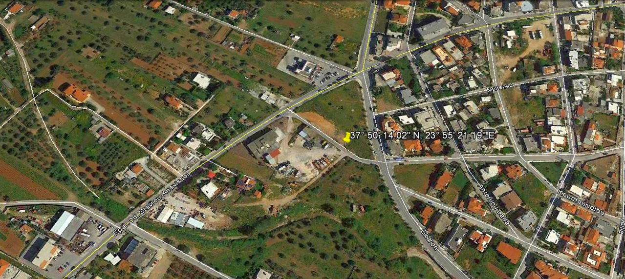
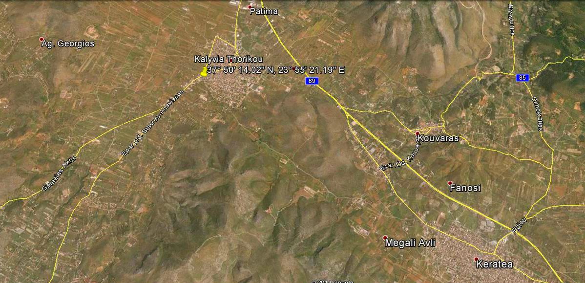
GPS: 37° 50' 14.02" N, 23° 55' 21.19" E Trail length: 5.89 km Starting point altitude (Google Earth): 116 m |
Web page: Mad Dog |
- T H E L O C A T I O N -
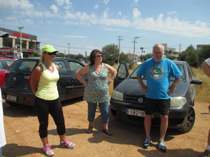
Plenty of parking at the starting location
Good location - just on the outskirts of the town and within easy reach of the taverna
- T H E R U N -
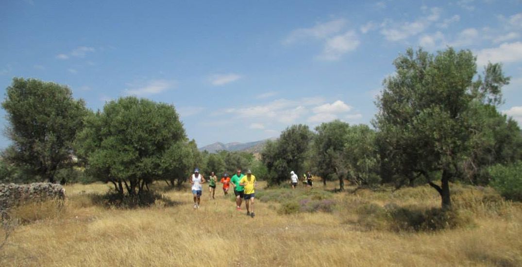
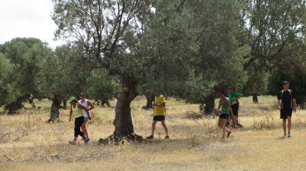
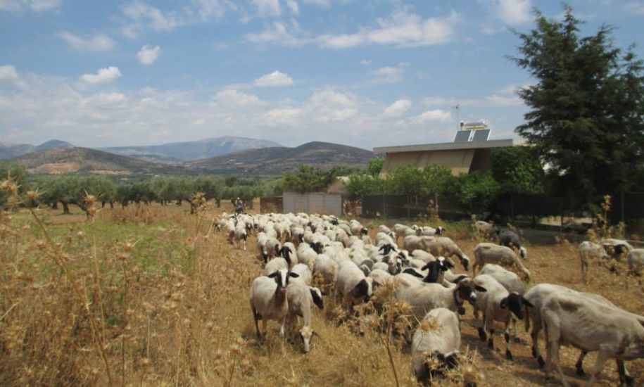
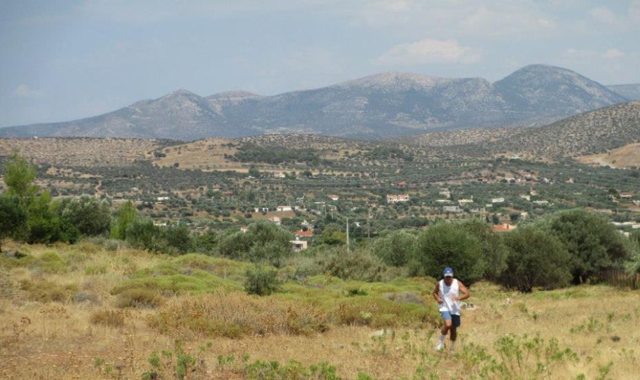
The trail leads the hashers through olive groves
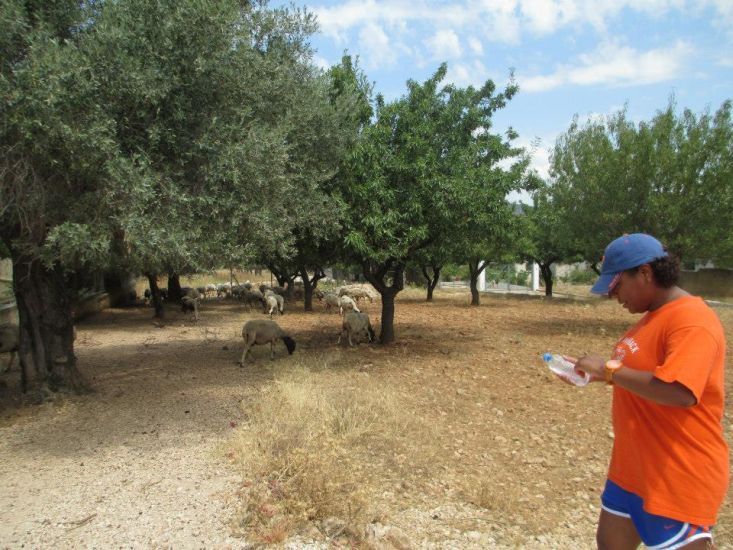
CU Crystal spots some sheep
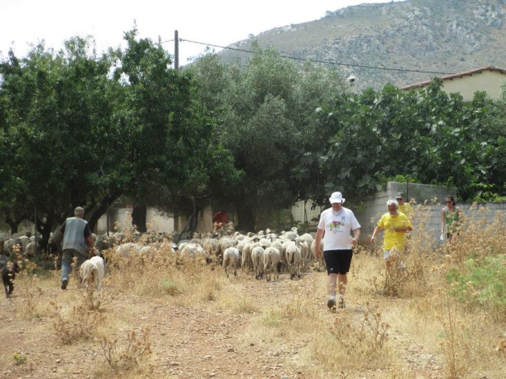
The sheep decide not to join the runners
Another time maybe? We're always happy to welcome new members :-)
Knob Goblin does a doggie impression
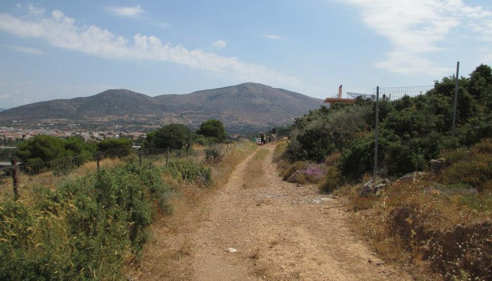
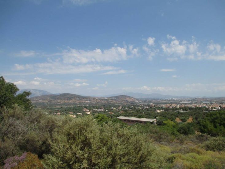
Views of olive groves down in the valley & Mount Immitos in the background
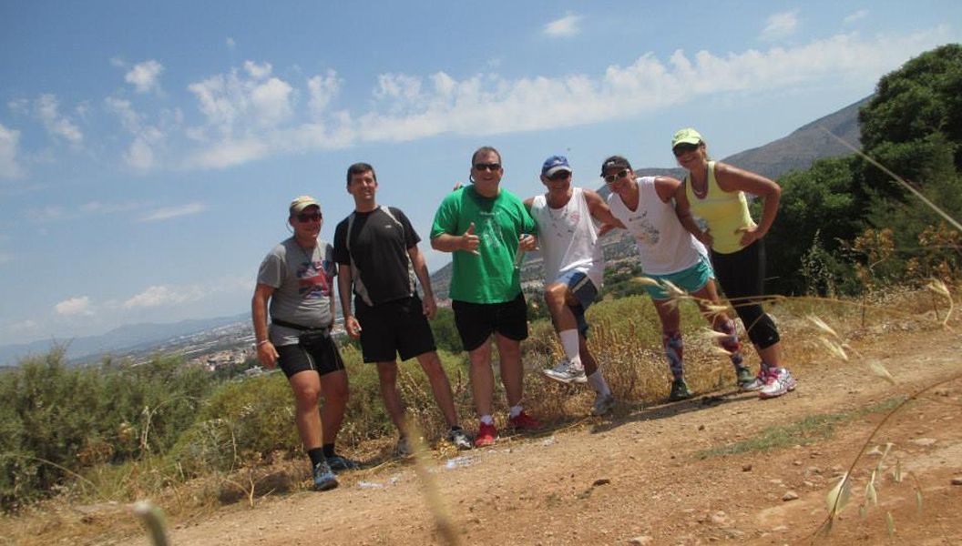
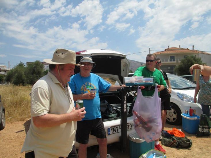
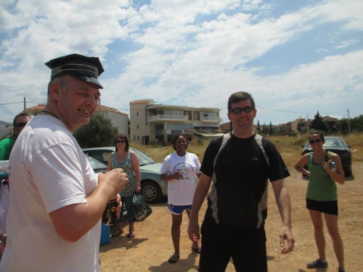
Group photo of the runners
- T H E C I R C L E -
RA Fair Cop
The (virgin) Hare - Currently Unnamed (CU) Crystal
Crystal receives her virgin hare T-shirt
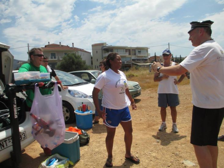
Well done!
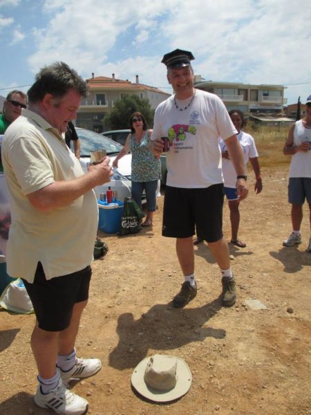
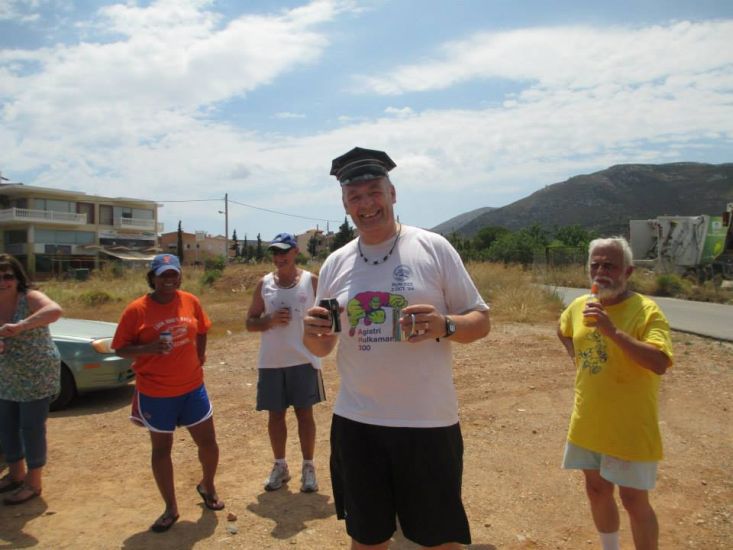
Heavy Breather ... Is he about to dance on his hat?
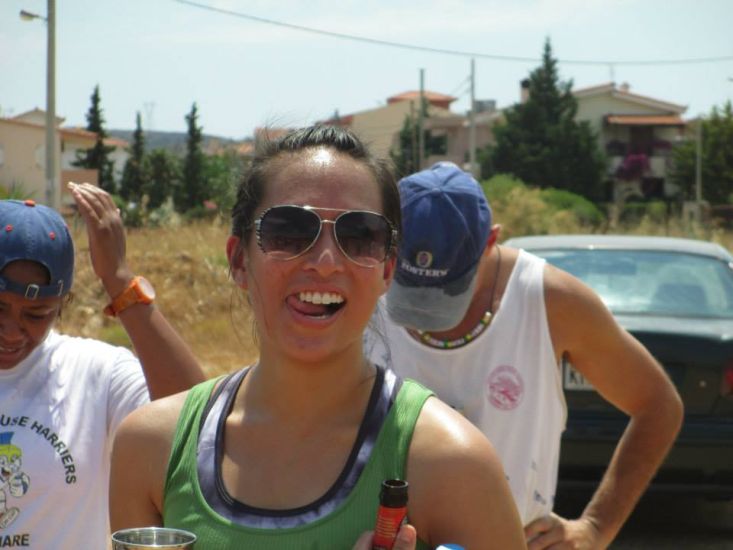
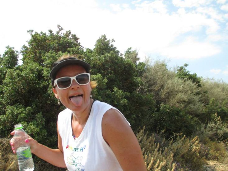
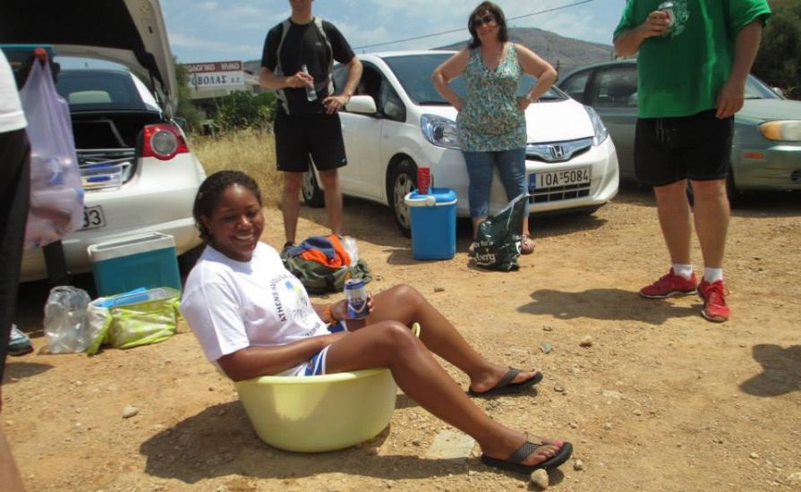
Thirsty visitor

Oxymoron offers some work posters
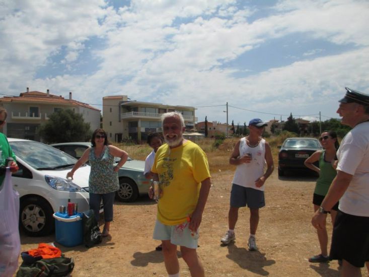
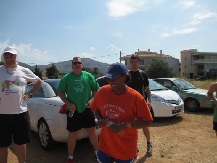
Mountain Goat - jolly as always
Knob Goblin - with maybe a frog in her throat?
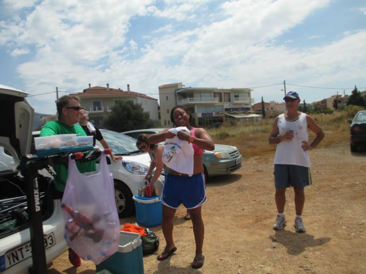
Absolut with Wet Dream and Hamish McTavish Esq.
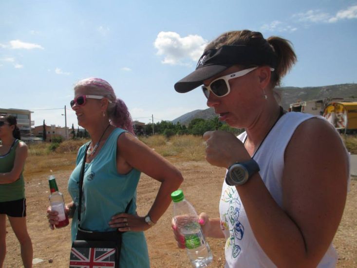
Grass seed collection
Over there?
See Captain Sumo's video of the naming:
https://www.youtube.com/watch?v=QB7gg8bgEe4&list=TLNOn-7y2pDxw
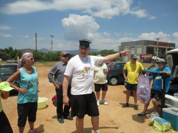
Guess who's up for naming?
A little refreshment before the ceremony starts. Clitoria pours the liquor.
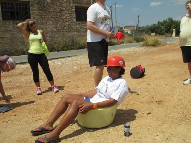
The naming helmet is put on Crystal's head - and then the funnel is inserted
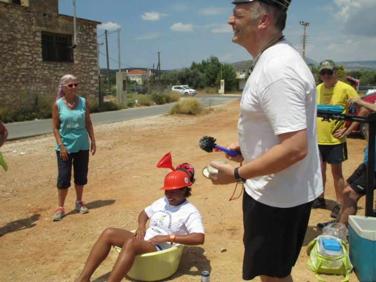
What's your favorite animal? An alligator?
In the name of A.S. Gisbert (our founder) I name you "Hornygator"
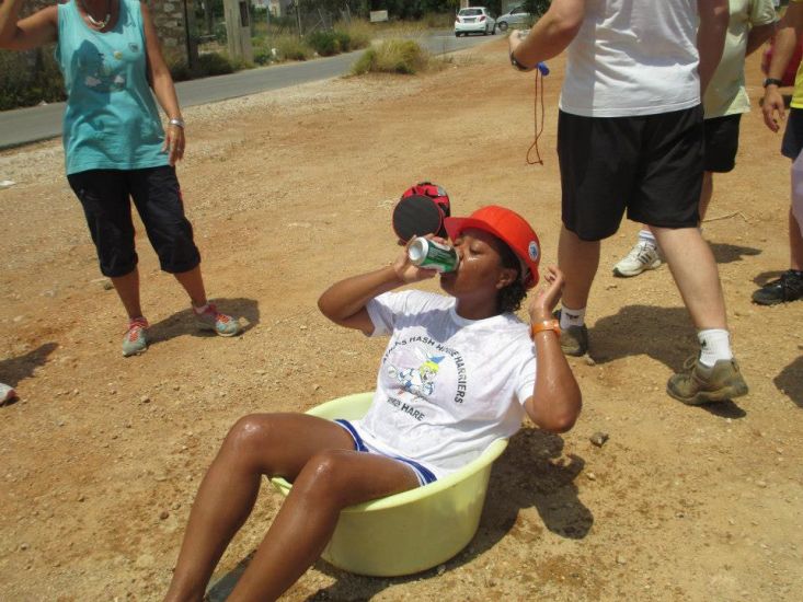
Get it down-down-down
- T H E T A V E R N A -
Mouroutsis famous meat taverna in Kalyvia
(Tender and juicy brizolas, kokoretsi, souvlaki, etc. with huge portions and low prices)
- THE DIRECTIONS TO THIS HASH -
Sunday 22 June at 11am
Hare: Crystal [currently unnamed]
Venue: Kalyvia Thorikou
On Inn: probably Mouroutsis meat place
Directions:
From Athens:-
Take the Attiki Odos and head toward Markopoulo, continue through Markopoulo and south toward Sounio. Proceed about 1.5 kilometers and watch the right for the sign for Kalyvia, the sign is almost at the turn and you will make a right onto Athinon. In about 2 kilometers you will reach a traffic circle (Plateia Astynomou Petrou Pant. The Municipality bldg. will be on your Left), take the first exit from the circle on Riga Fereou which turns into Christou Rapti and later Gkaron (this is a very sharp right). After about 800 meters you will turn right onto Leoforos Kalyvion-Anavyssou [i.e. Epar. Od. Stavrou-Anavissos]; (Everest [not the mountain but the food place] is on the right corner) and then make the next left onto Nikolaki. You will find the dirt parking lot on your left. (37° 50' 14.02" N, 23° 55' 21.19" E)
Please use your "Back" Button (Top Left) to return to the previous page