|
(N.Athens) |
AH3 Run 1822 Hare: The Bookmaker |
Google elevation: 252 metres Trail length: 8.3 km |
|
The
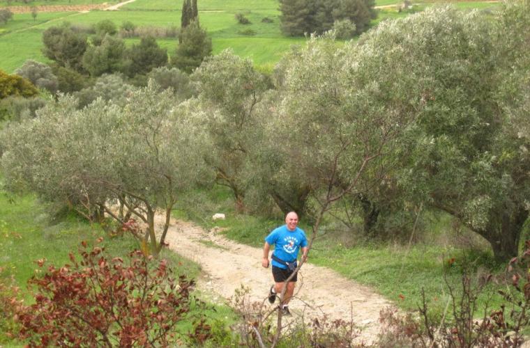
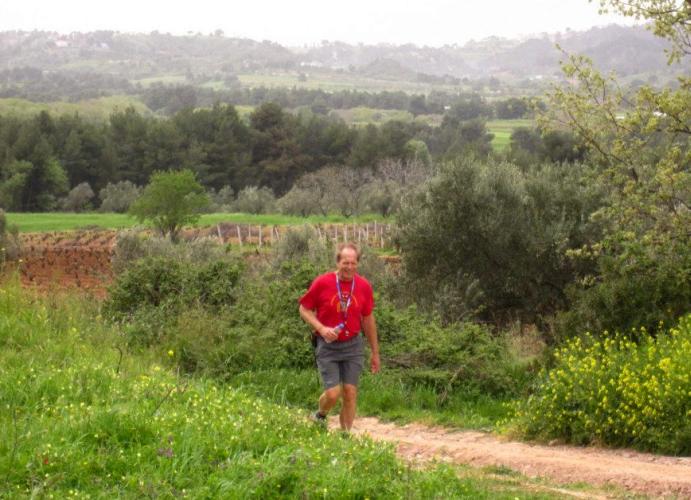
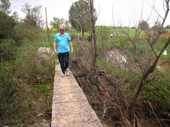
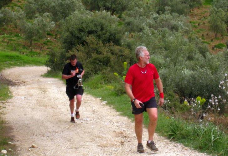
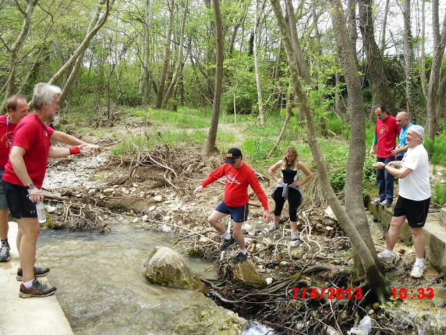
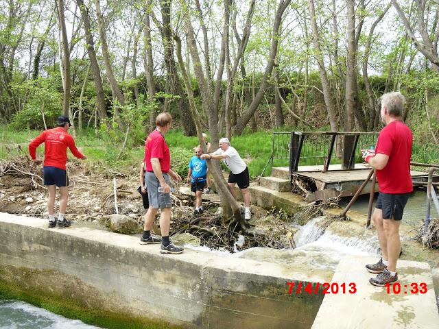
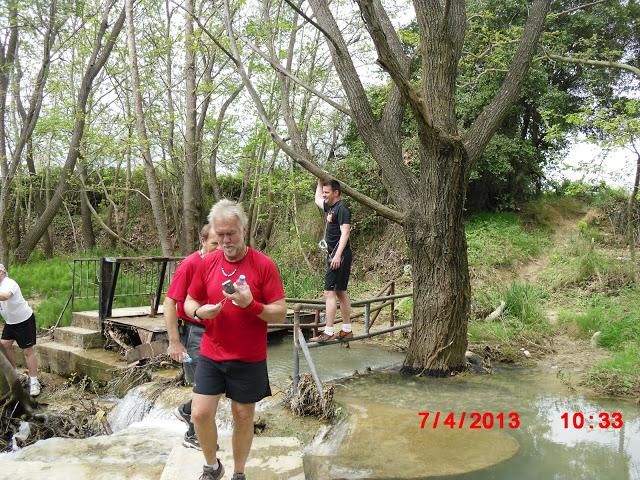
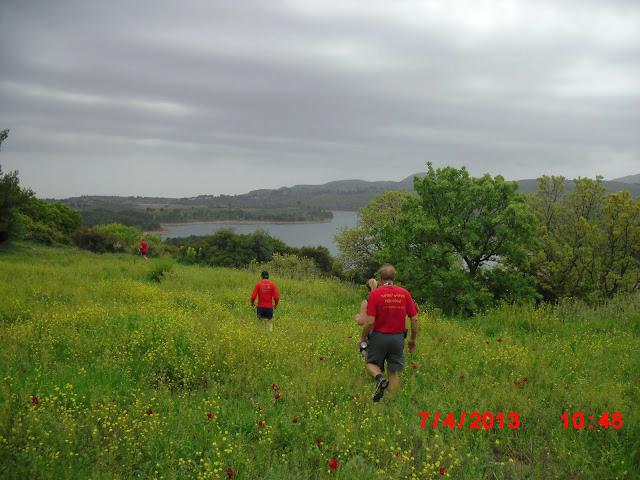
Trail |
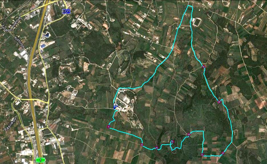
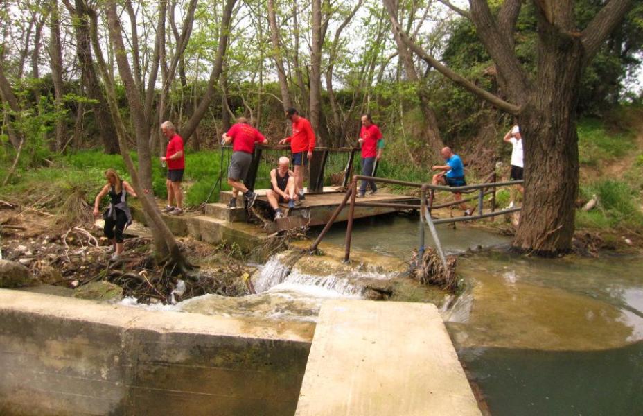
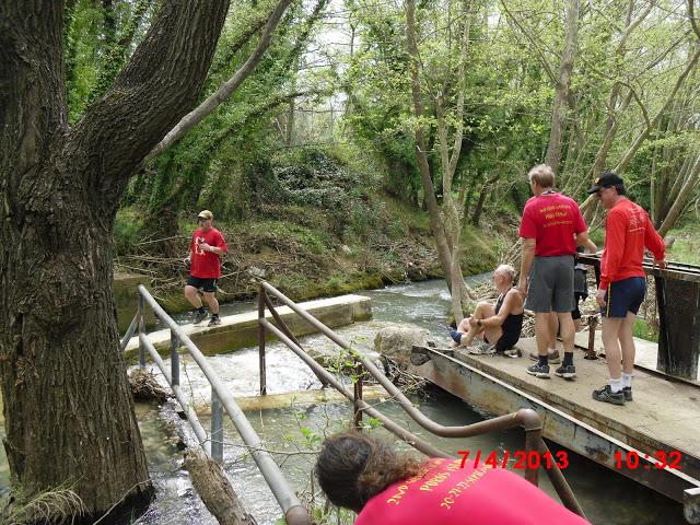
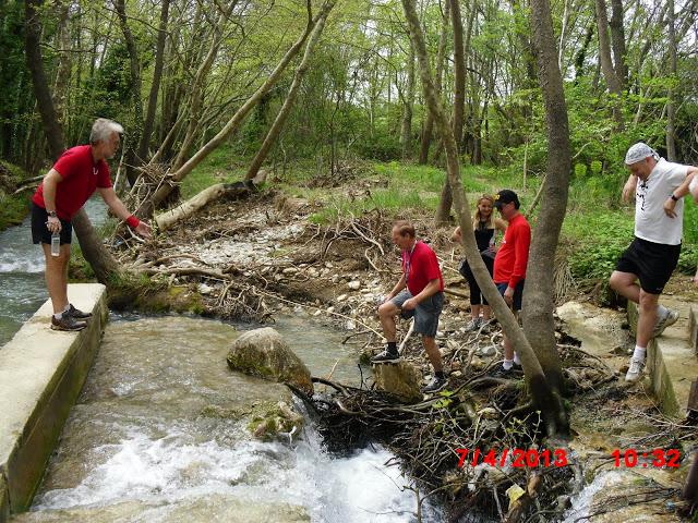
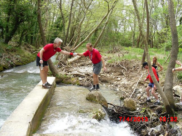
The trail from 4.00 km up
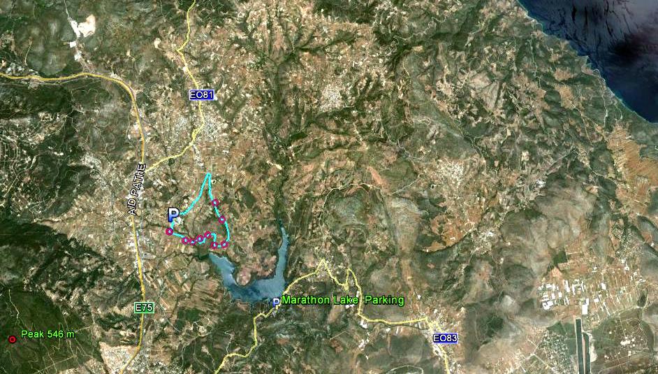
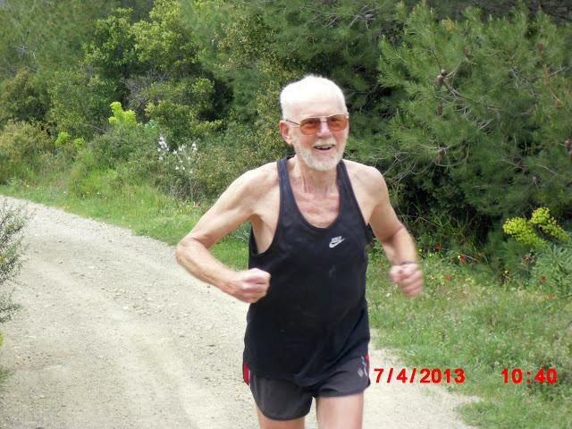
The trail from 20.00 km up
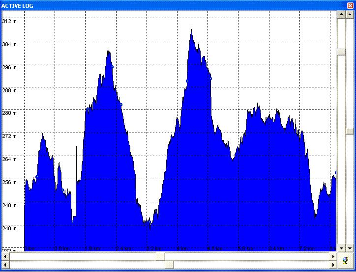
Altitude profile of the run (L-to-R). A bit like a rollercoaster ride!!
|
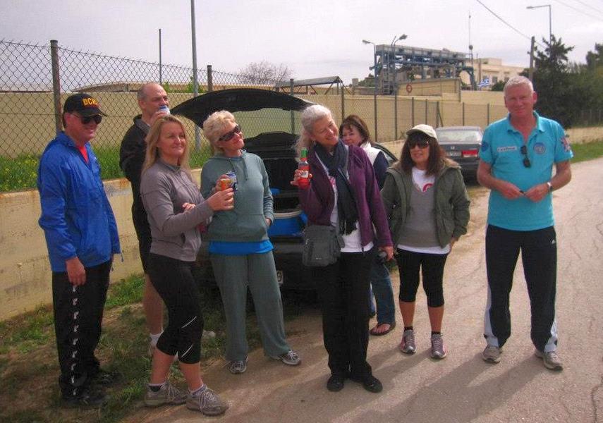
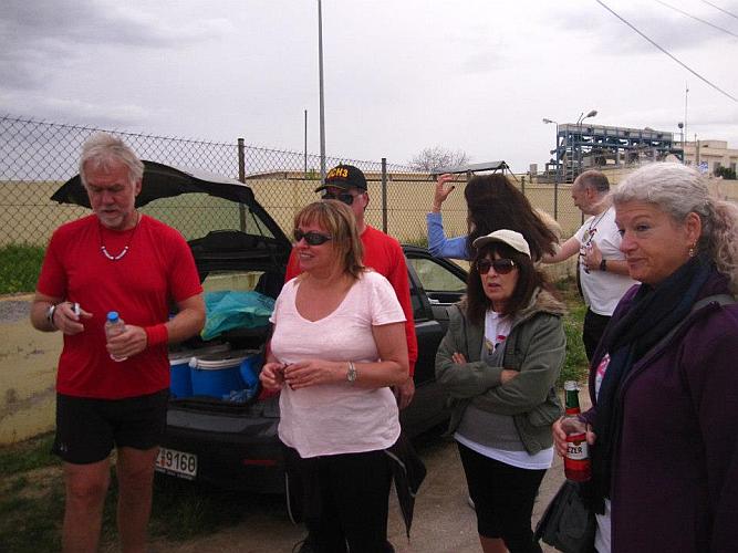
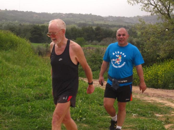
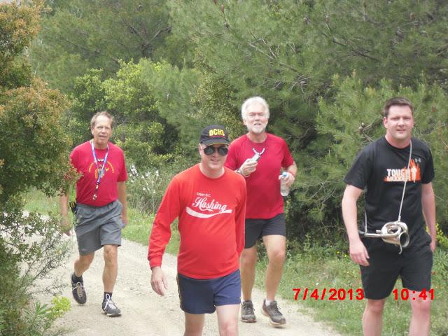
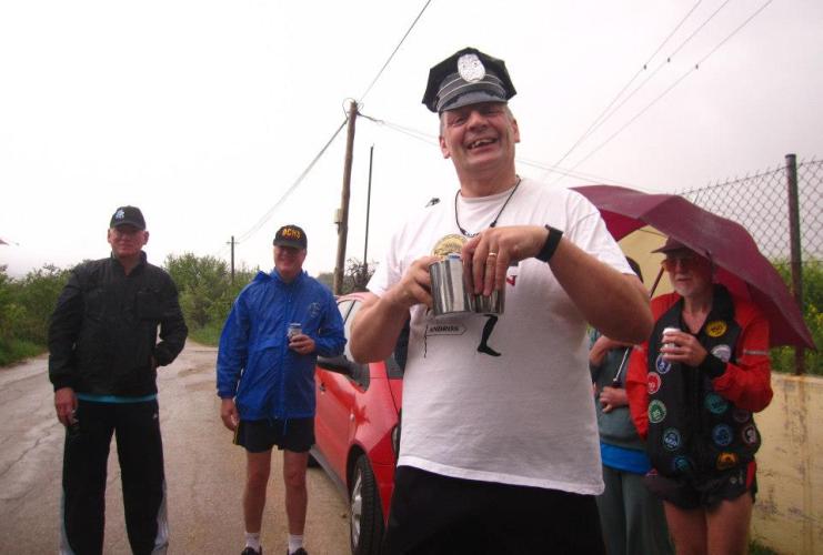
Before the run |
|
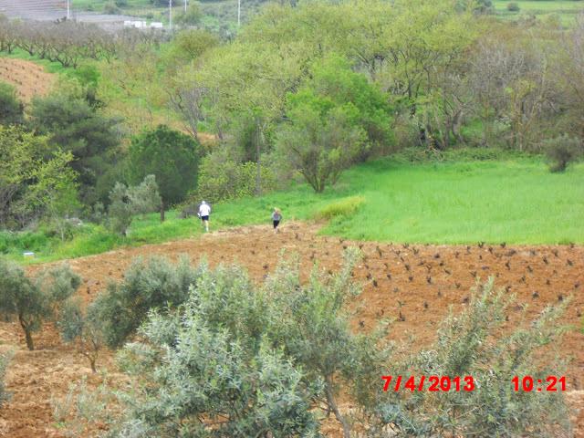
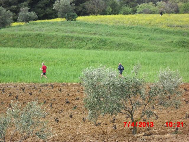
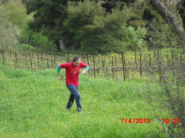
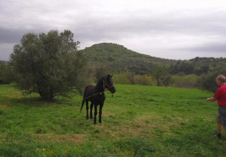
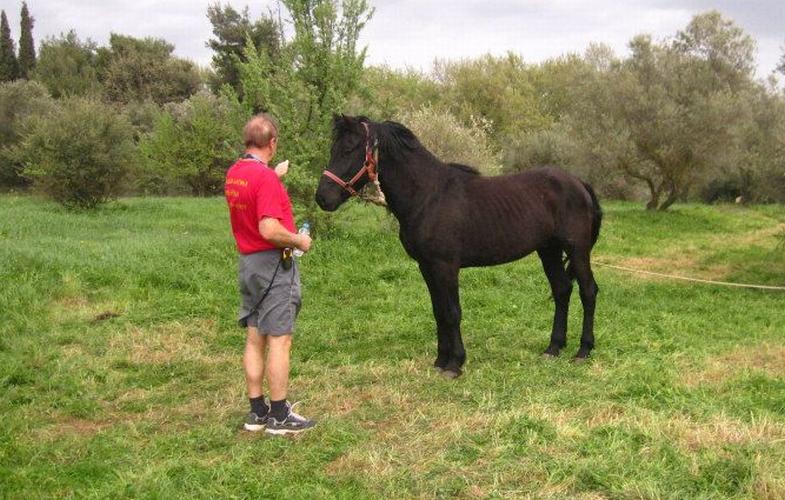
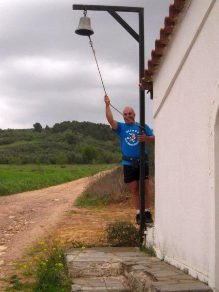
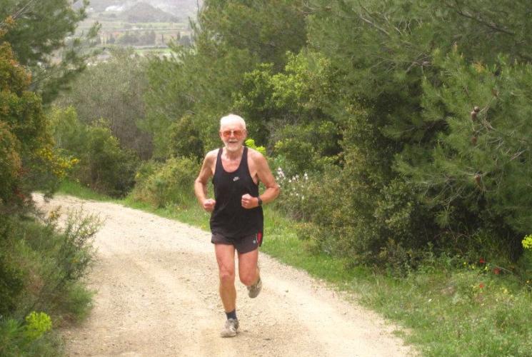
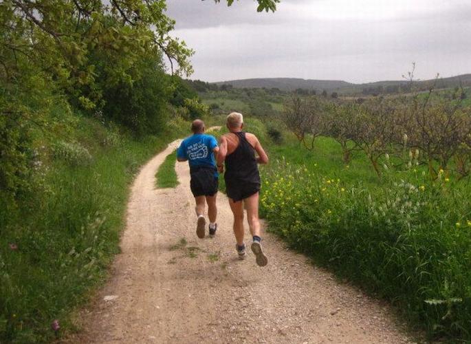
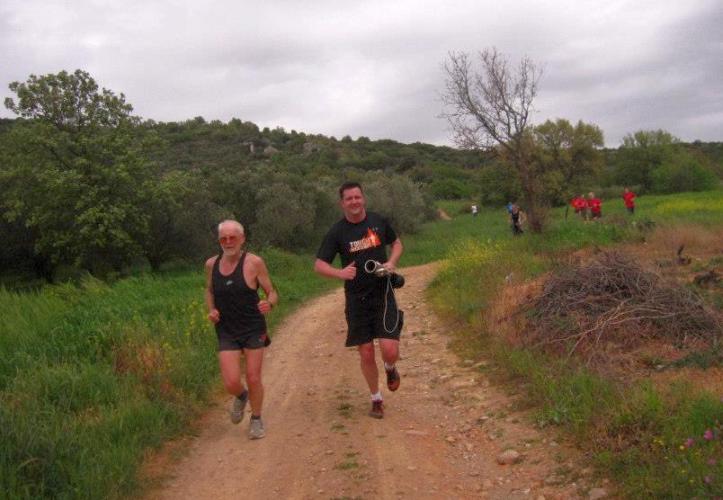
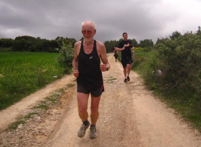
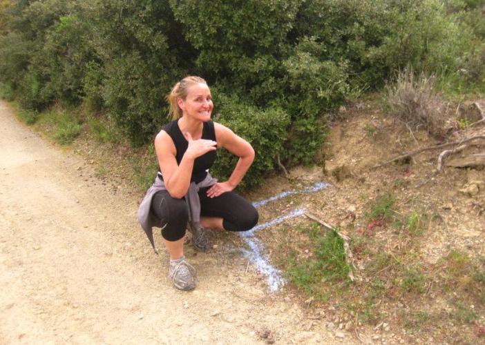
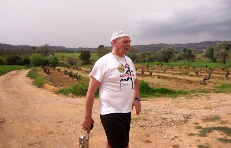
The
Run |

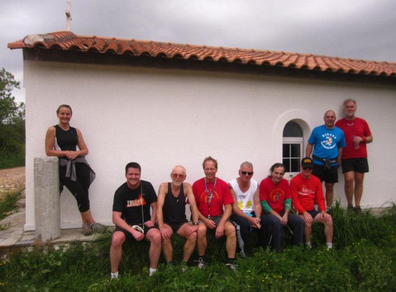
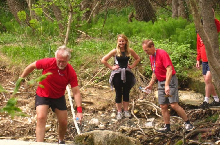


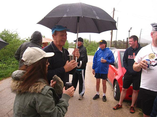
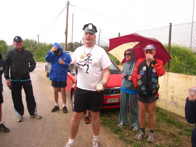
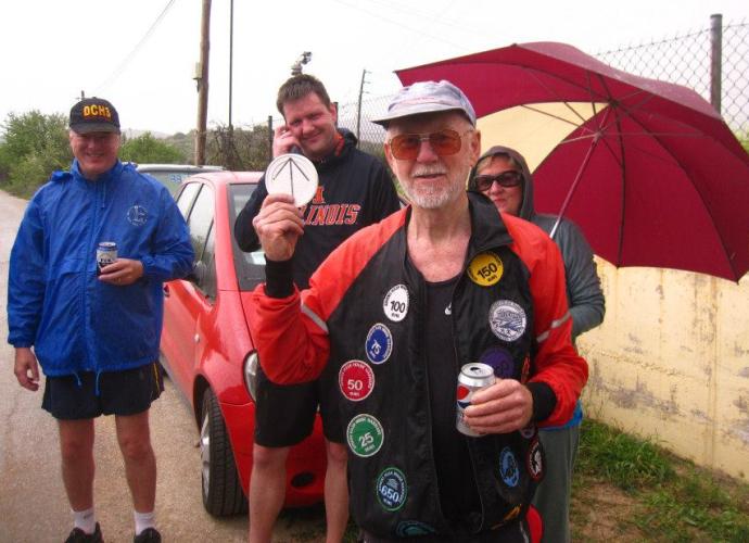
The
Circle |

|
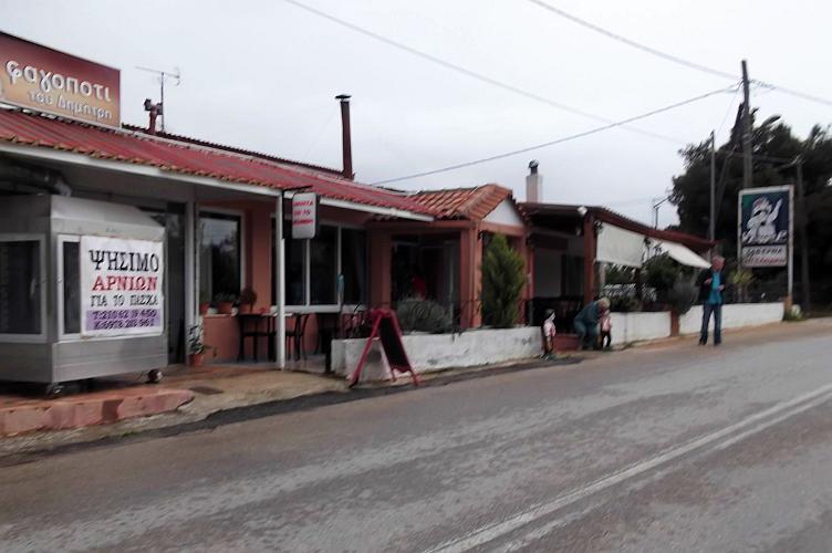
The
Taverna |

The directions to the hash - for the record |
Directions to Polidendri (GPS coordinates: 38° 11.254'N and 23° 51.952'E)
A) (The simplest way – but involves paying a toll)
Pass the turn-off for Varimbobi
Continue North along the National Road for several Km
Continue past the next turn off for Agh. Stefanos and Krioneri
Continue for 6km - you will need to pay at the toll station
About 1km later take the first exit right
Turn right here (ie do NOT go left over the National Road)
100m later turn left (ie head North).
You will turn right 140m along this road (look for a sign EYDAP)
The meeting point is just over 1000m down this road at the EYDAP site
B) (The toll-free way)
Pass the turn-off for Varimbobi
Continue North along the National Road for several Km
Take the next turn-off for Ag Stefanos (1)
After the exit road turn right towards Ag Stefanos
After about 800m the main road bends to the right – follow this
Two hundred metres later there is a turning to the right (Trapezountos St) (2)
(If you come to or go over a railway bridge you’ve gone too far)
You should now be in Trapezountos St
Set your odometer here to zero
Follow this road
After 2km do NOT turn left
Continue along this road
After a further 1.5km you pass under a railway bridge (3)
After another 3km do NOT turn left or pass under the National Road
You follow the road to the right here (towards Polidendri)
140 metres further you will see a small blue sign (4)
This is marked EYDAP and directs you right
Turn right here - we meet 1100m down this road near the waterworks (5)
The blue Eydap sign is about 6.5km from the point where you set your odometer to zero.
C) Coming from Kifissia, Ekali etc:
Go through Nea Erithrea, Ekali, Drossia etc
You will cross a railway line 1.5km before the National Road
About 300m after the railway there is a turning to the right (Trapezountos Street)
Turn right here and follow the directions above from (2)
If lost call The Bookmaker on 6944 224668 (but BEFORE 11am)
NB: GPS coordinates for the start are: 38° 11.254'N and 23° 51.952'E