|
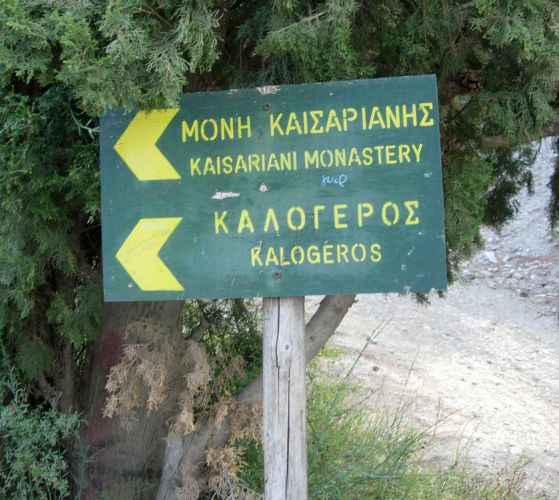
Kaisariani Forest & Monastery |
AH3 Run 1799 Hare: Rocket Socket Photos & web page: Mad Dog |
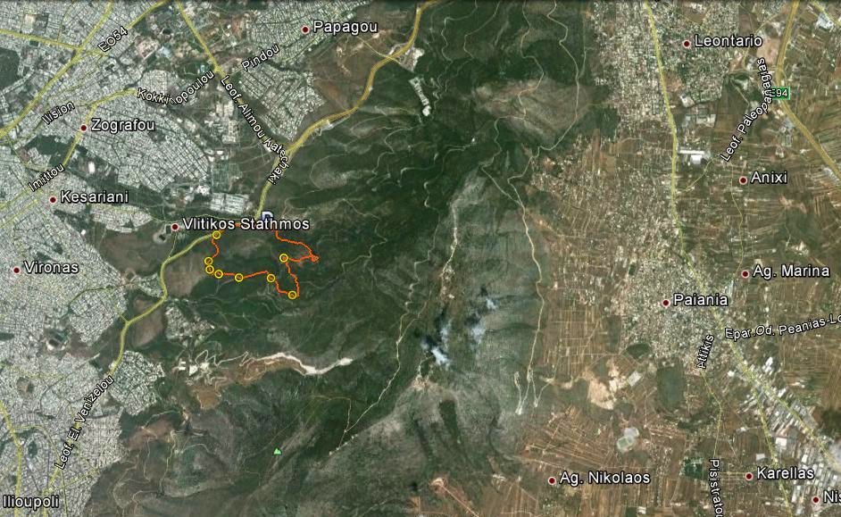
Google elevation: Trail length: |
|
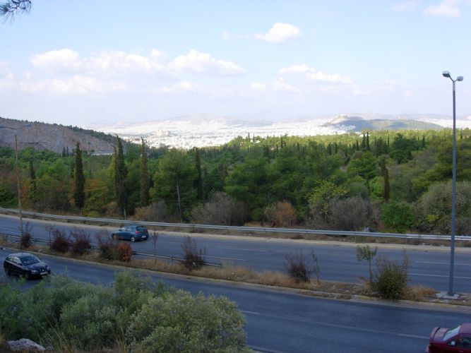
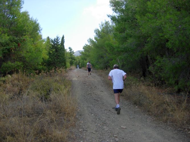
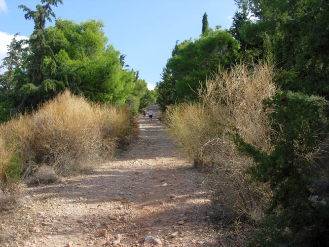
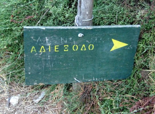
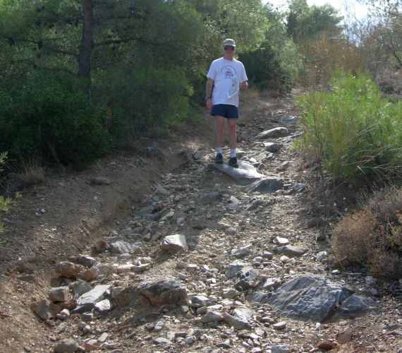
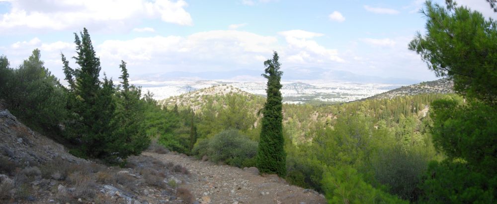
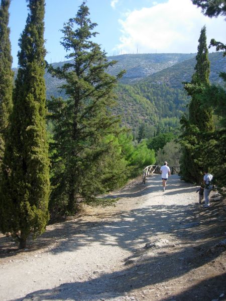
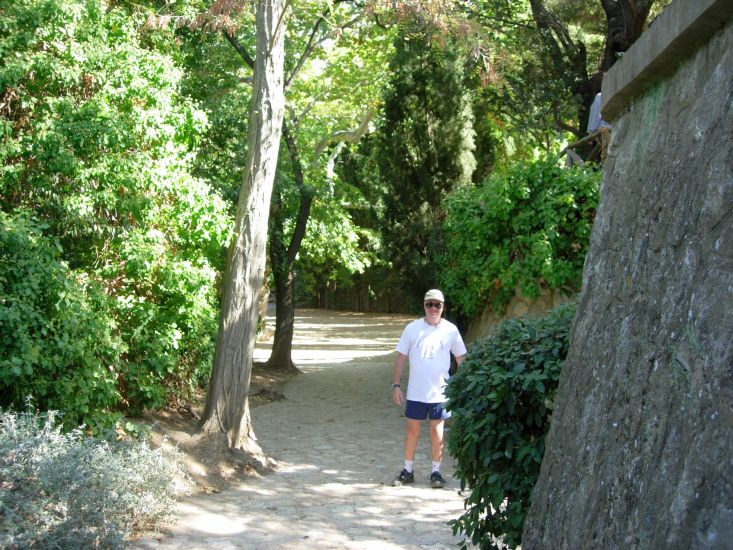
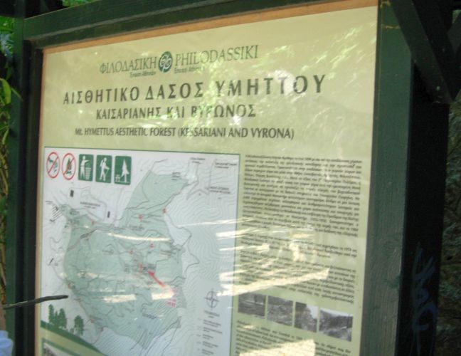
The
Trail
|
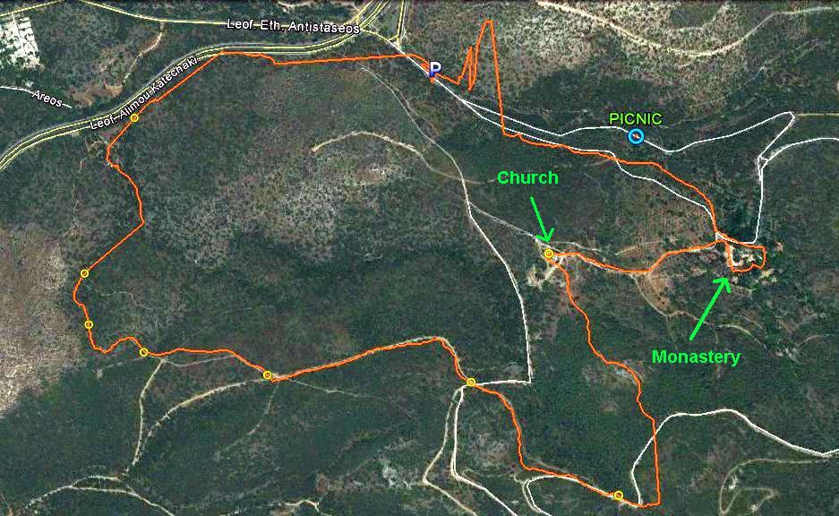
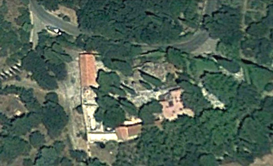
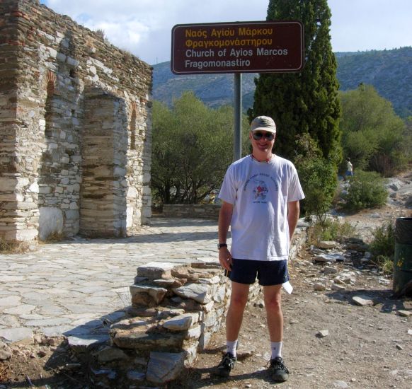
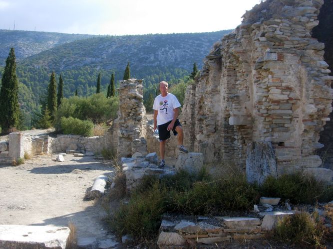
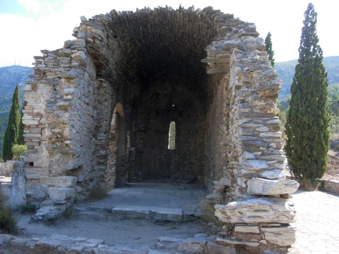
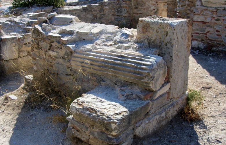
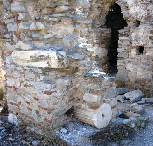
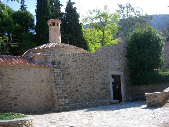
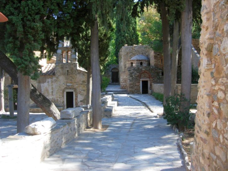
The Monastery
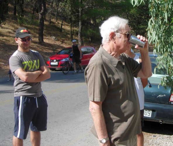
The
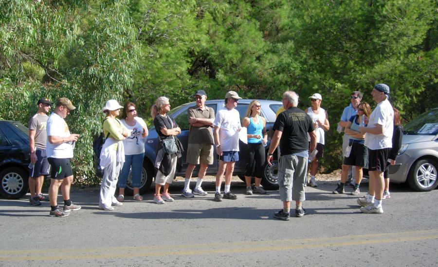
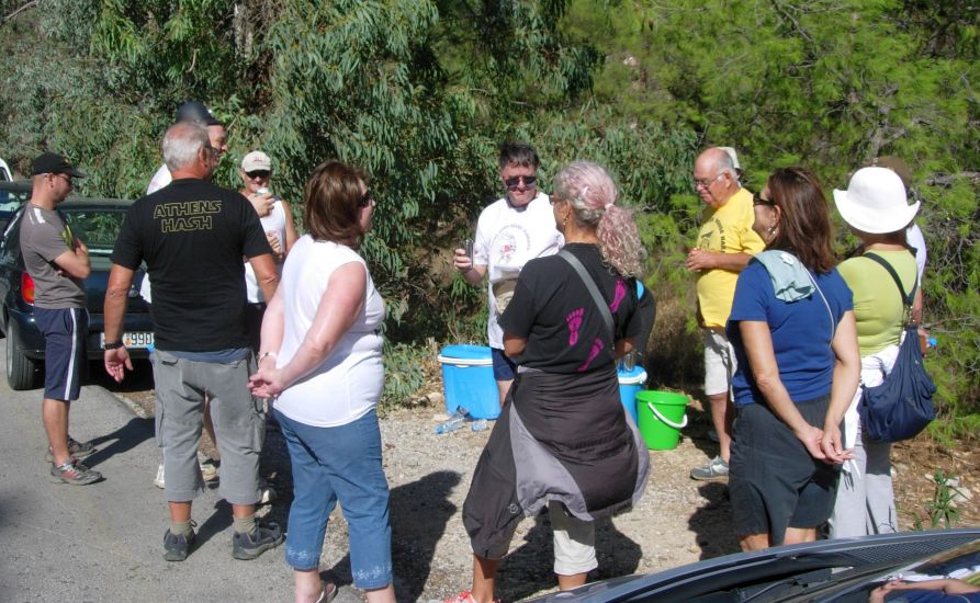
Pre-run Circle |
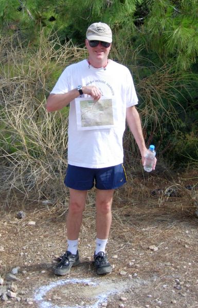
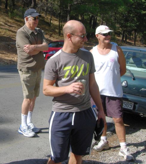
The
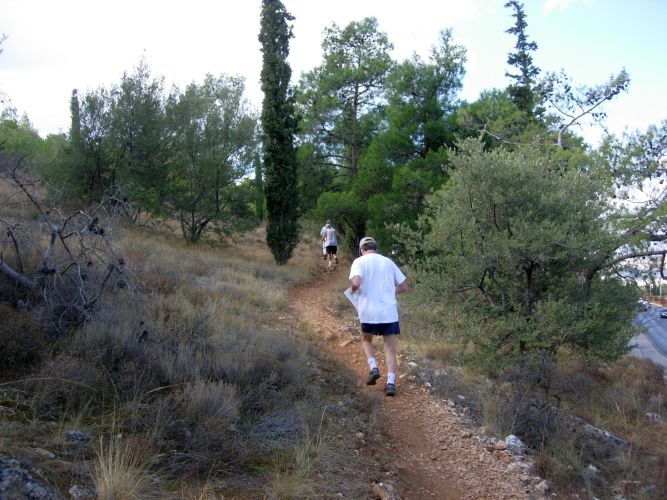
Run |
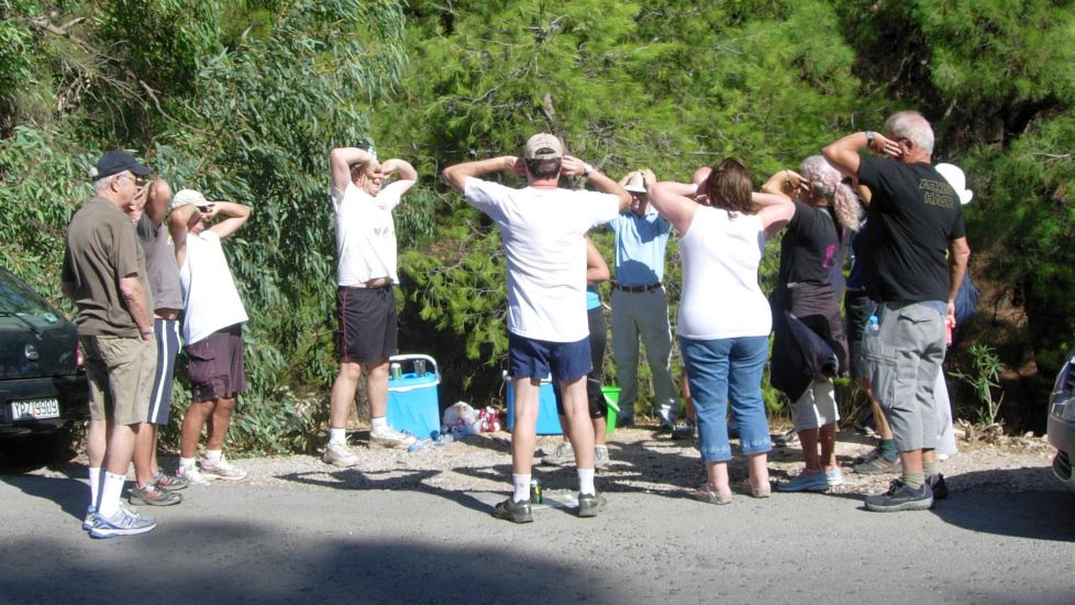
|
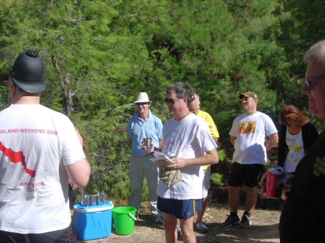
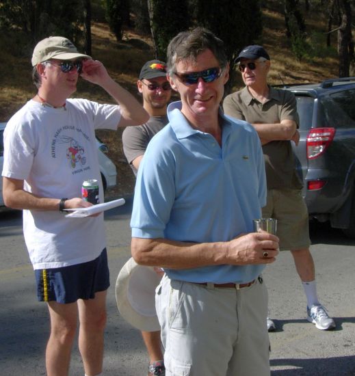
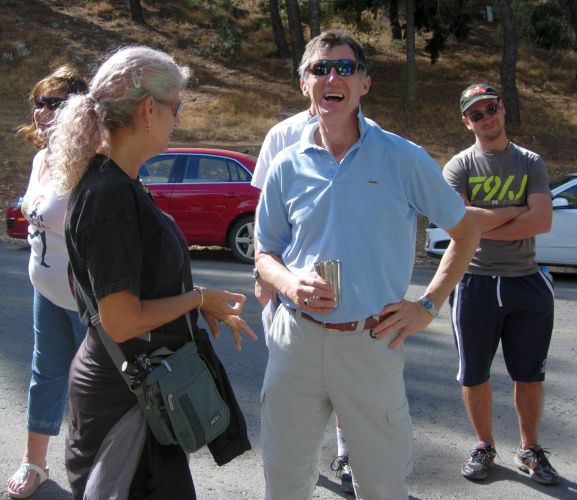
The
Circle
|
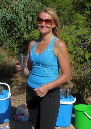
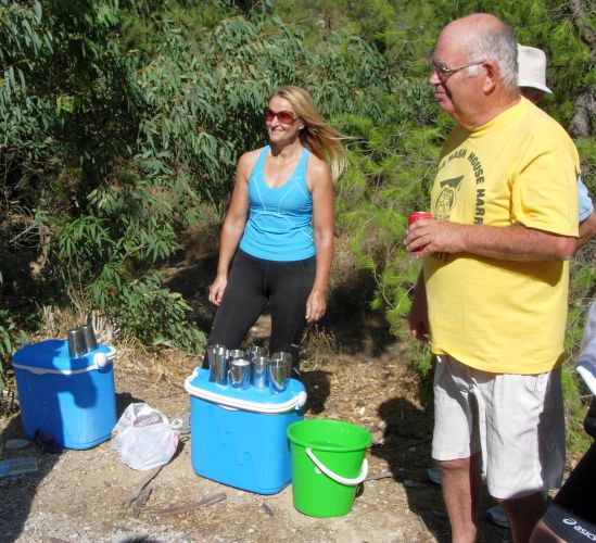
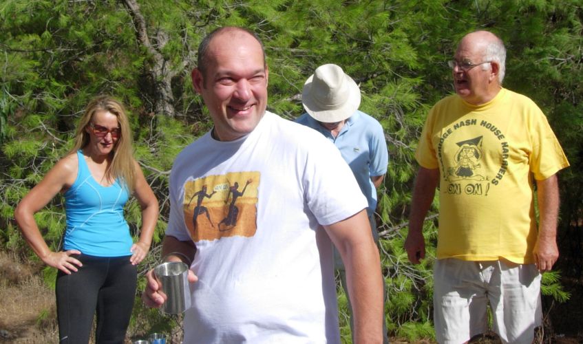
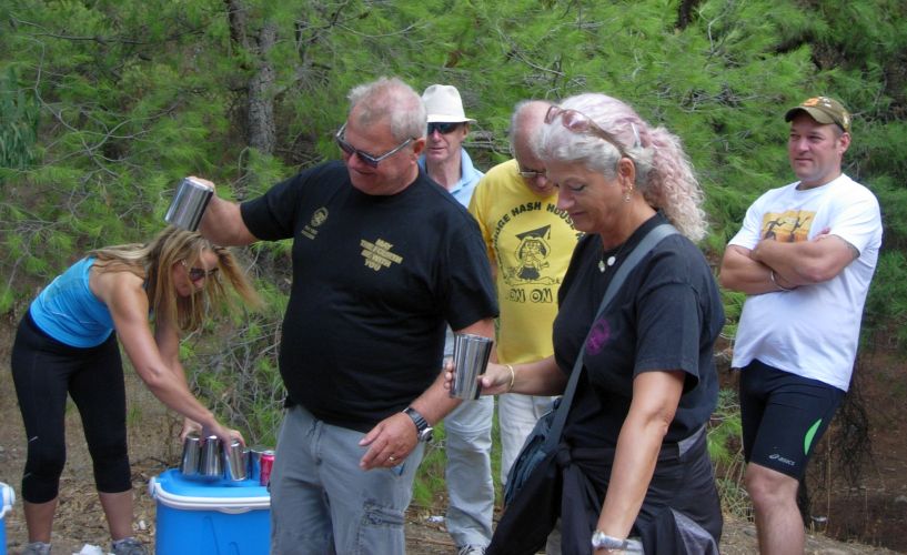
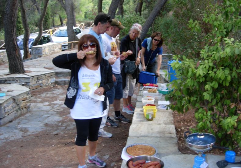
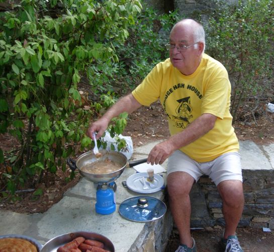
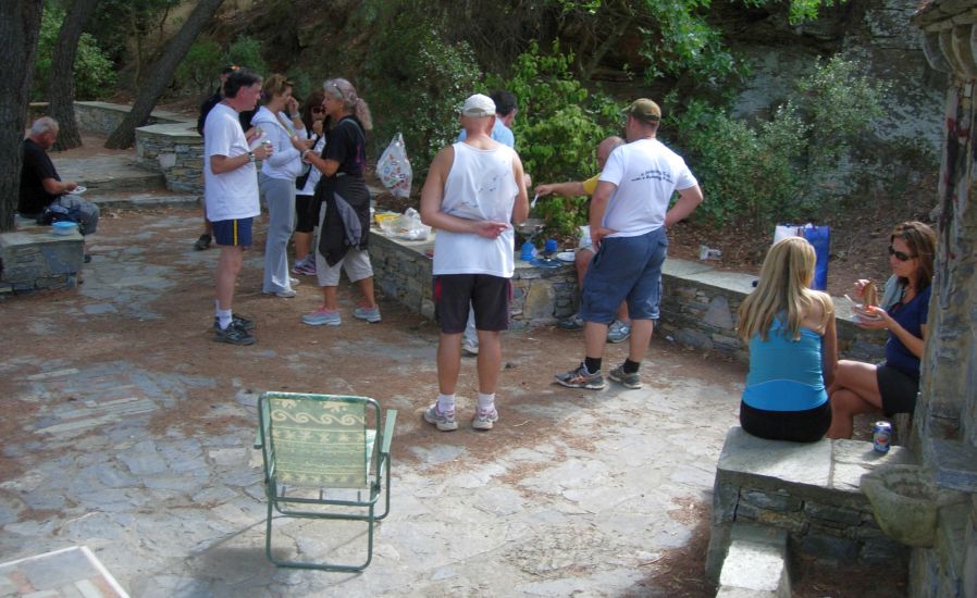
The
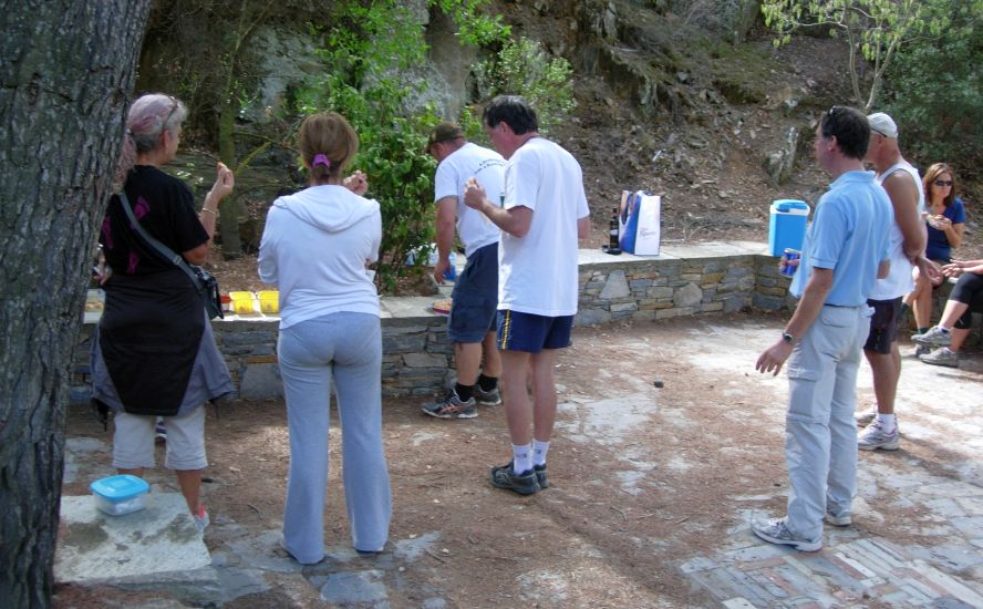
Picnic |
Kaisariani Picnic area location: 37°57'47.11"N, 23°47'44.63"E
(Everywhere else was crowded but this area was completely unoccupied)
The Monastery |
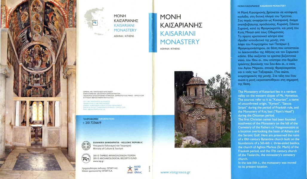
Flyer