|
Varibobi Tatoi Royal Estate QEll Diamond Jubilee run |
AH3 Run 1789 Hare: Mountain Goat Photos:
Mad Dog & Love Bug |
GPS: 38° 9.809'N, 23° 47.376'E Google altitude: 545 metres Trail length: 7.51 km |
|
The
Trail
|
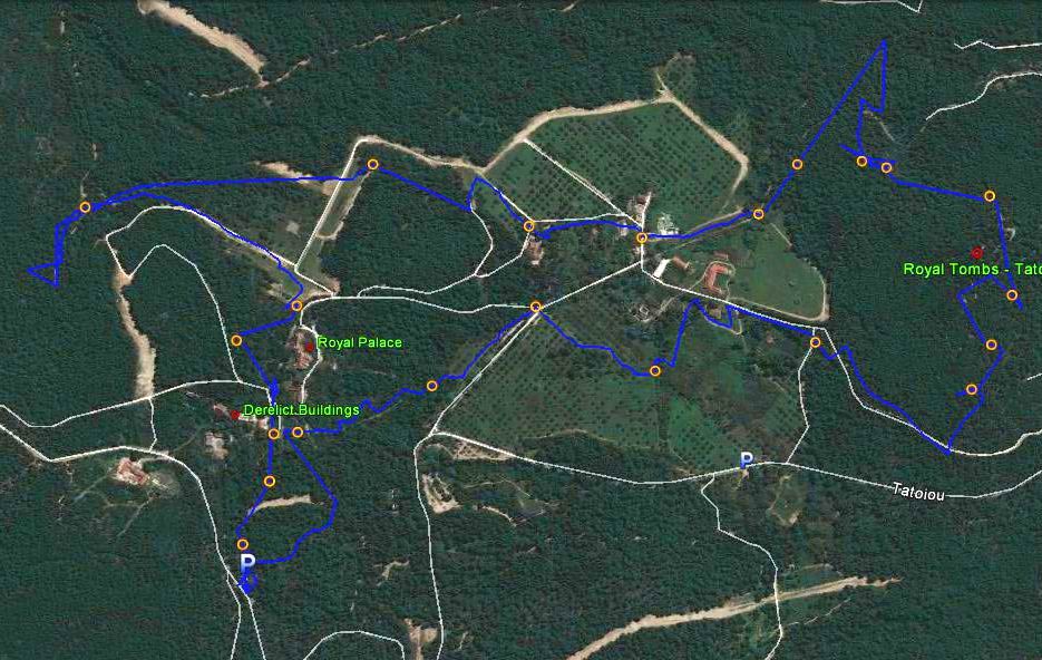
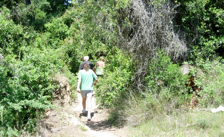
The GPS receiver occasionally loses the signal in the forest & so the track goes a bit zig-zag
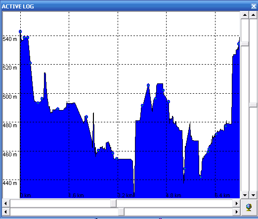
Altitude profile (with a couple of gliches due to lost signal)
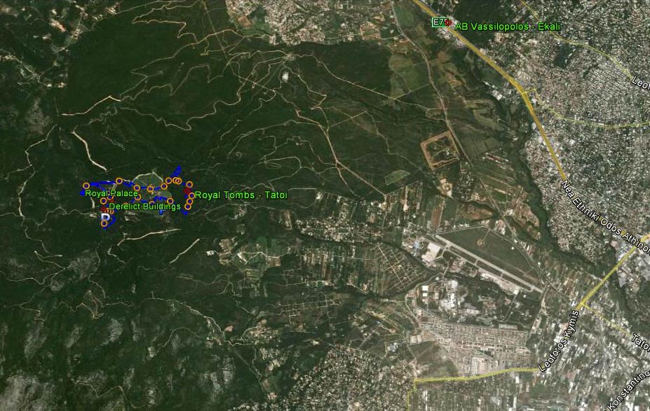
View from 10.5 km up (Note the National Road to the right & the Tatio airport)
|
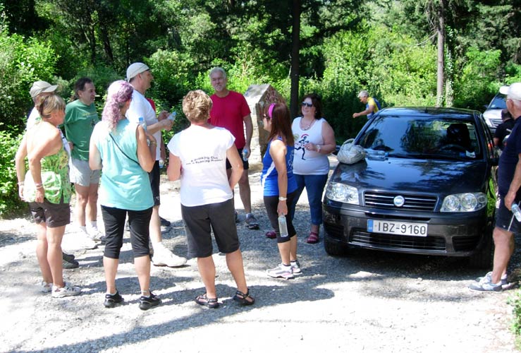
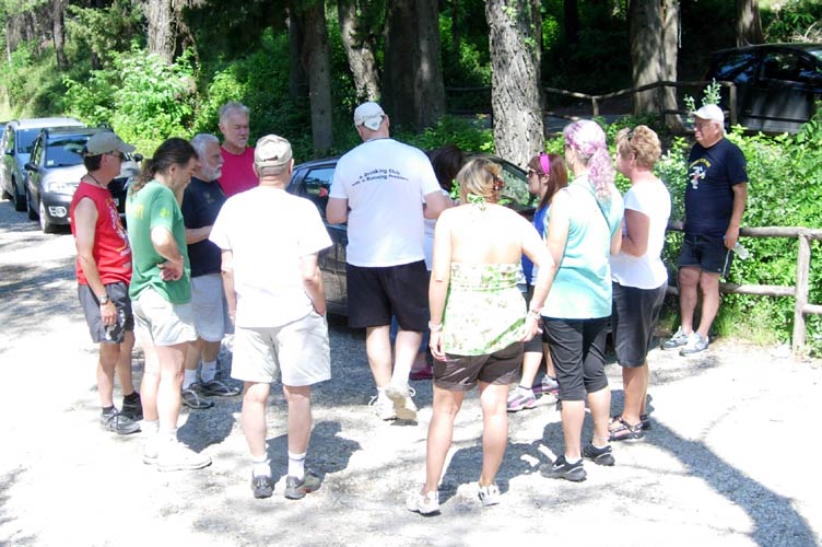
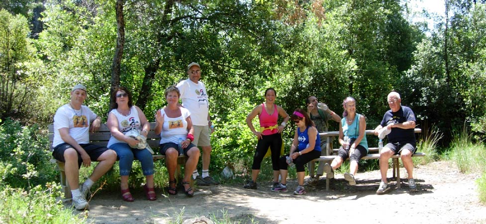
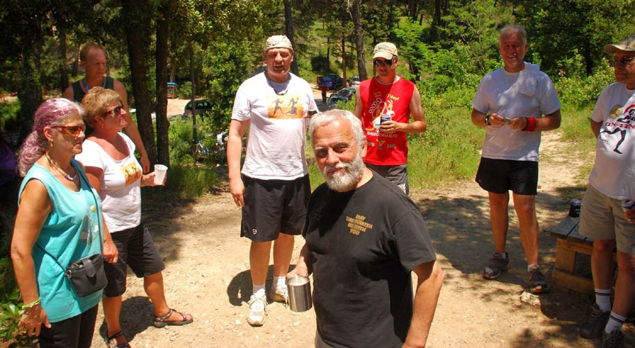
The
Pre-run Circle
|
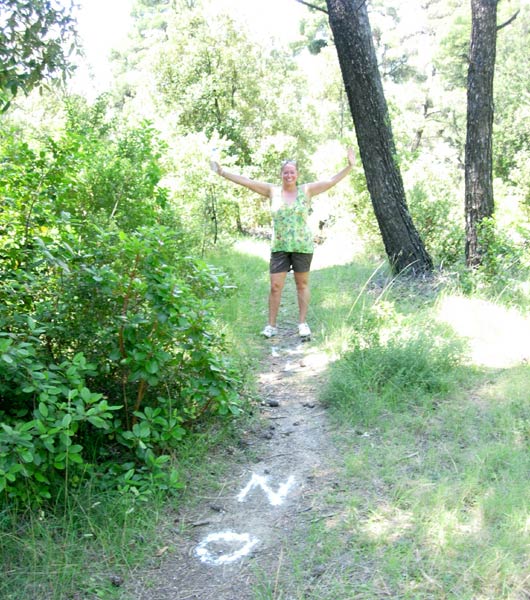
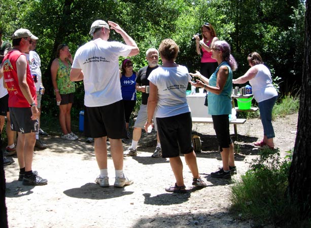
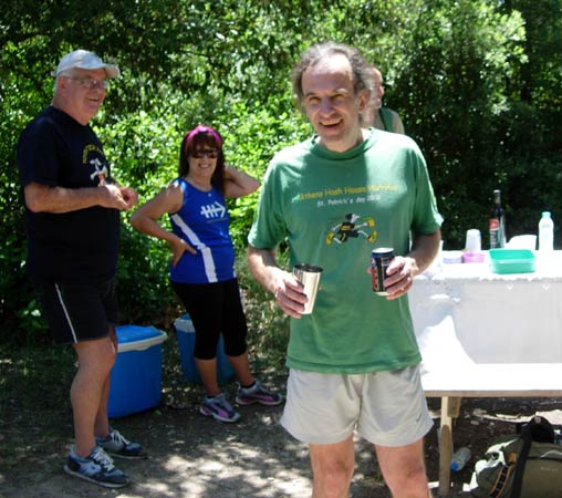
OK where's the hare? (Note the fountain or spring in the background)
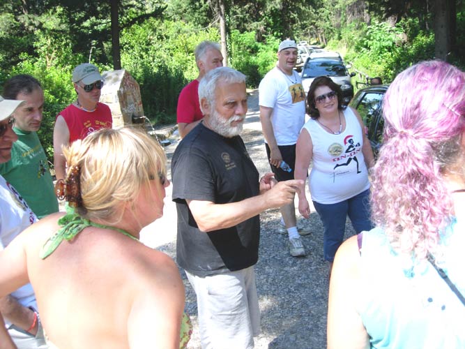
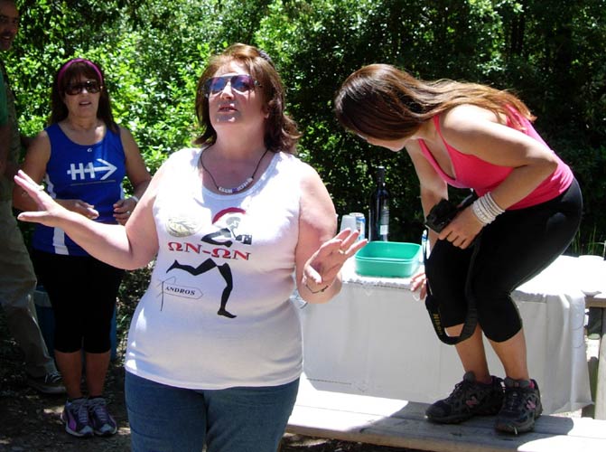
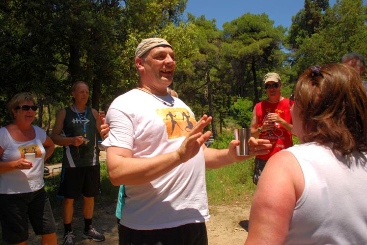
The hare Mountain Goat tells us how short and flat the trail is (oh yeh?)
|
The
Run and Walk
|
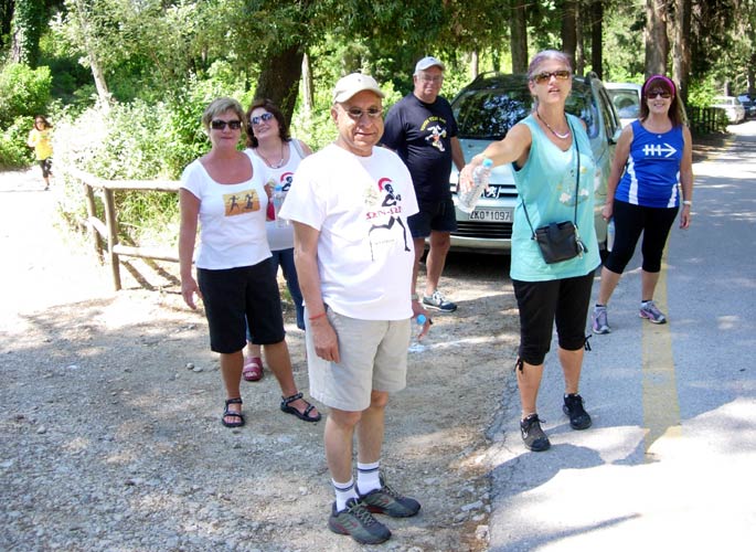
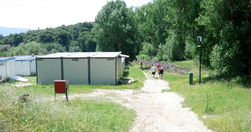
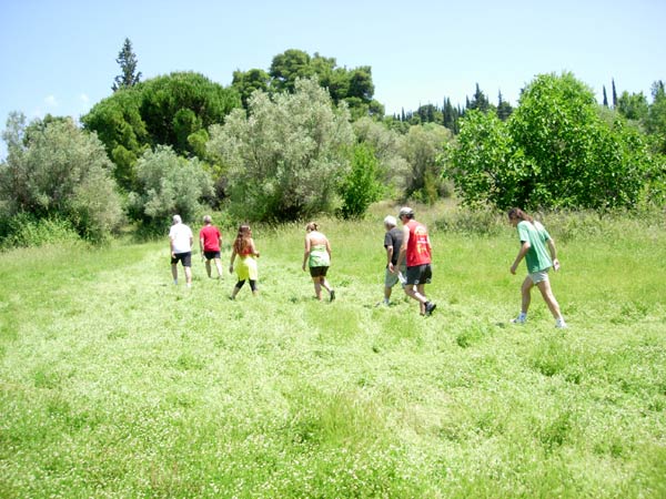
The walkers prepare to set off. Will they get lost?
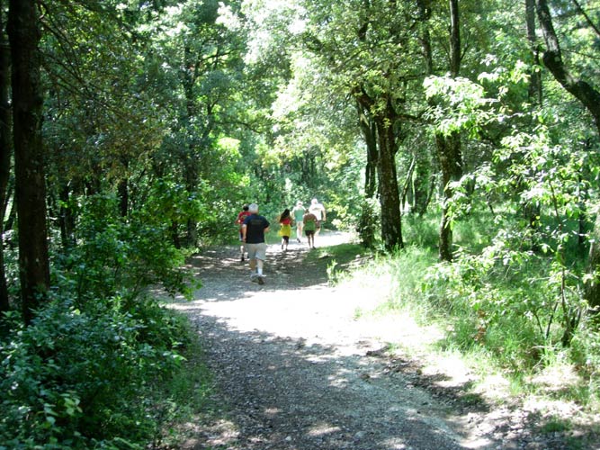
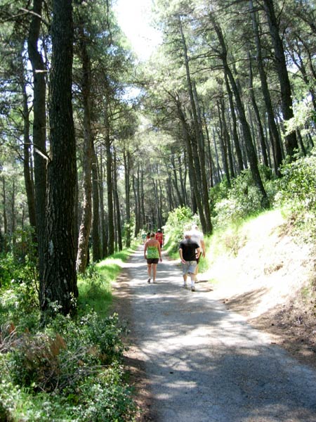
The runners set off hot-foot into the forest

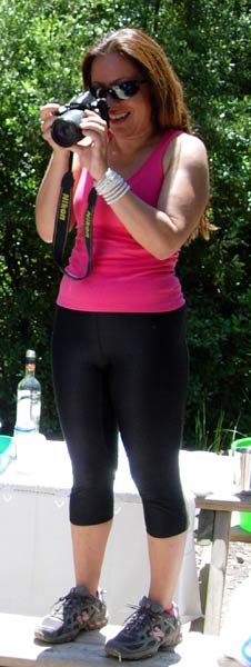
Mad Dog & Coke Dealer pause for a photo
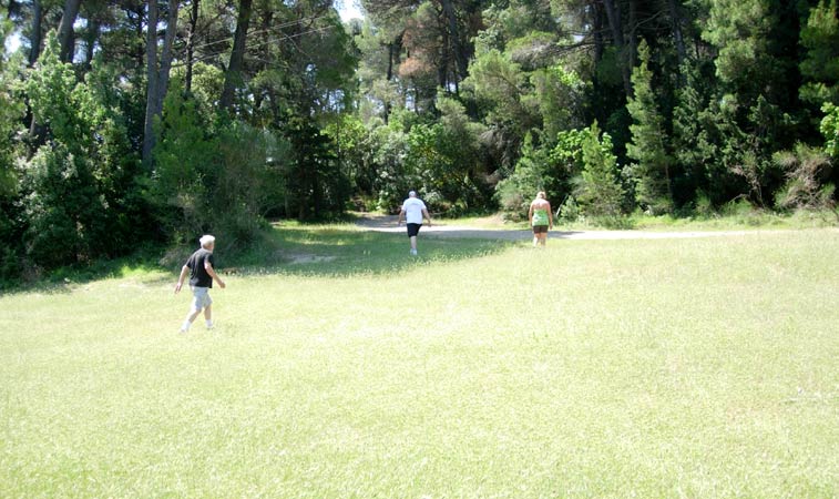
The grass is still green from the rains
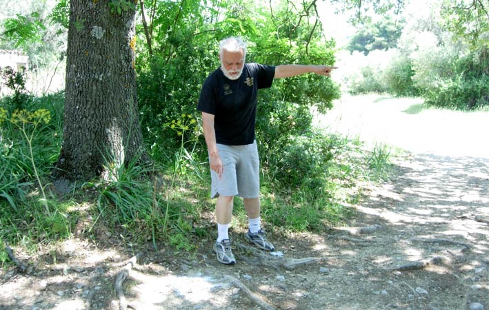
Mountain Goat stands on his check and points the way
Well deserved rest stop? No, just stopping to admire the view.
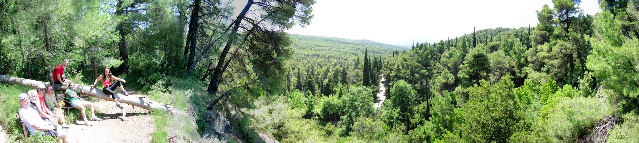
Fabulous panoramic view of the forest >>>>> Scroll right >>>>>
OK, youv'e seen it. Get going you lazy b---s!
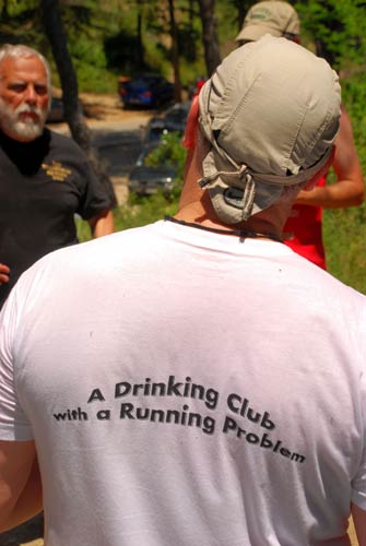
On In
|
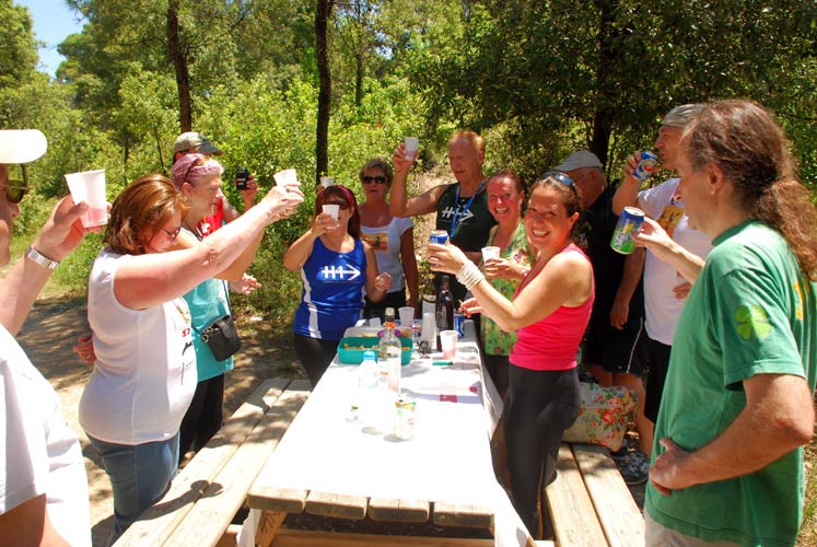
Our
Queen Elizabeth II Diamond Jubilee Celebration
|
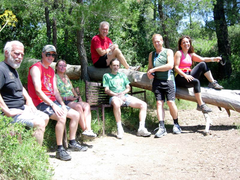
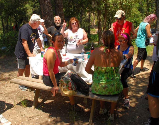
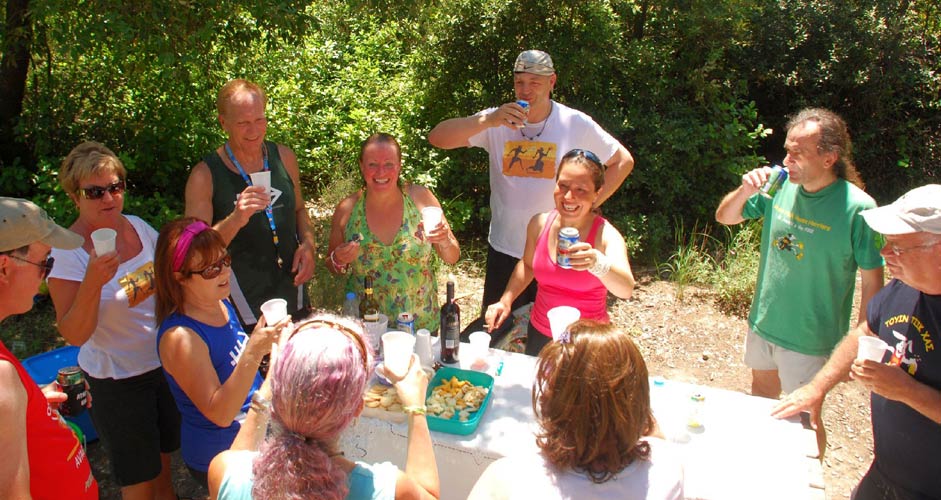
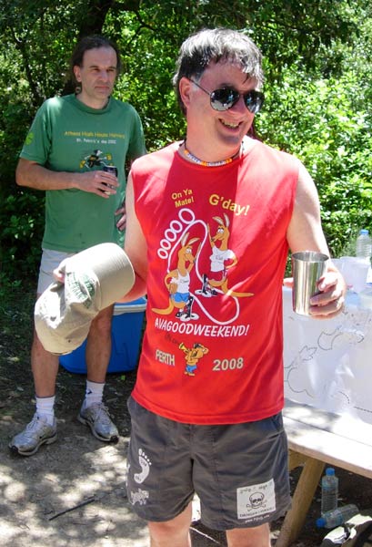
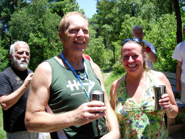
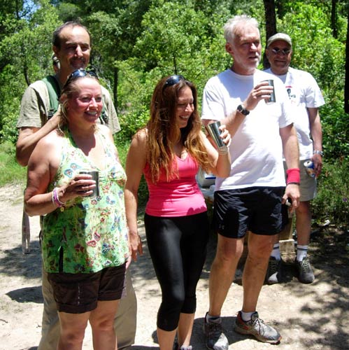
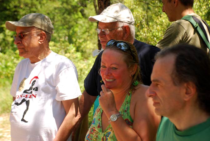
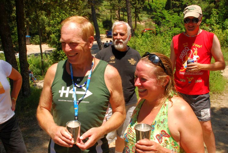
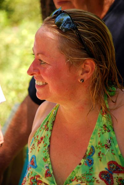
Relaxing after the run and walk
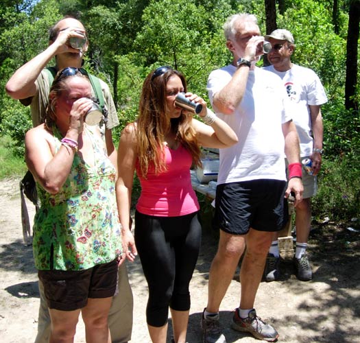
The Wine and Cheese Party begins
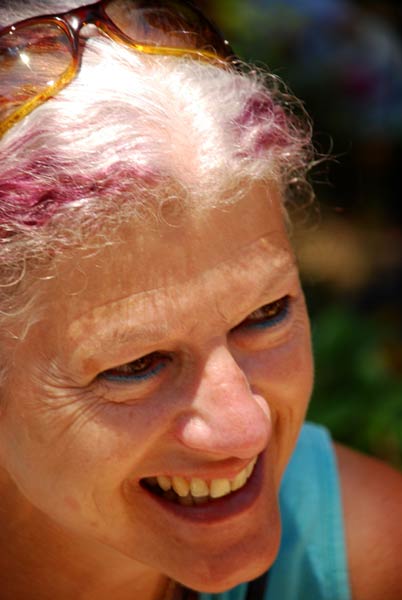
"The Queen"
|
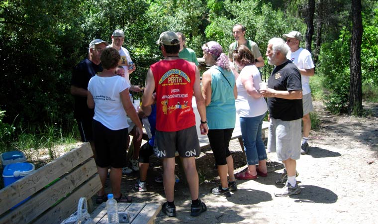
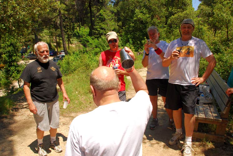
The
Circle
|
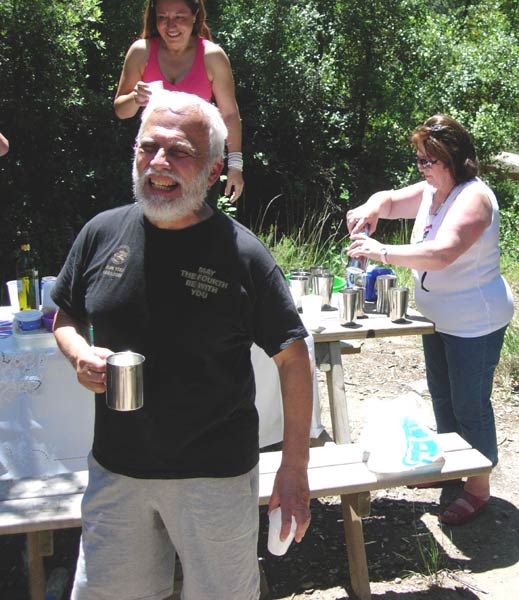
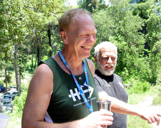
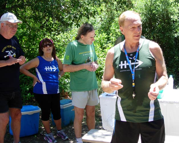
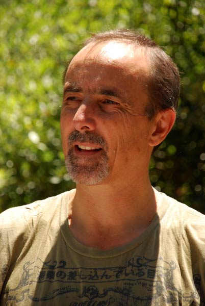
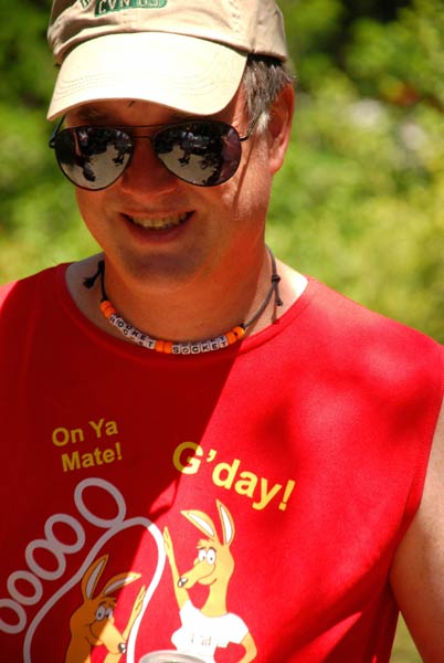
Mountain Goat the hare
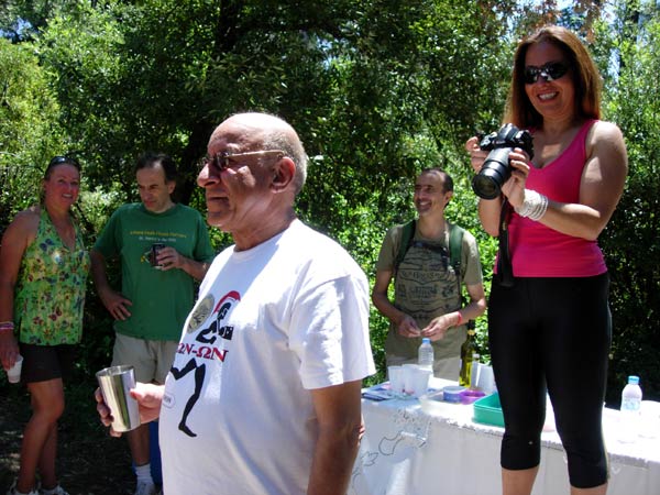
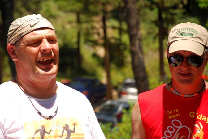
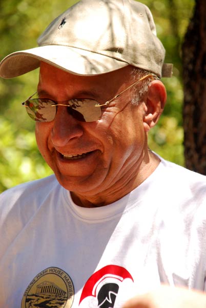
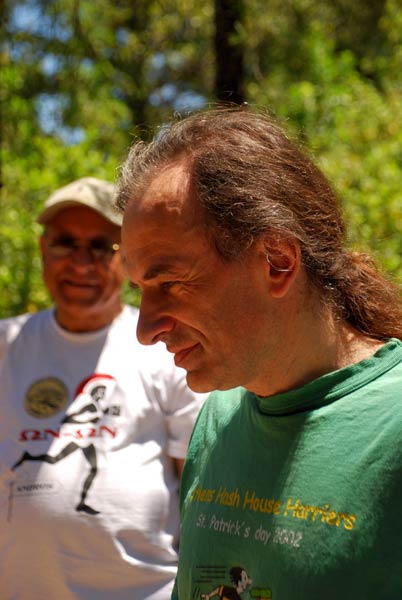
Mad Dog tells a joke...
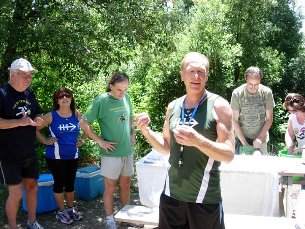
Now what was the punch line?
|
Love
Bug's artistic photo section
|
|
The
Taverna
|
Lambros, of course