SYNGROU
PARK
(Northern Athens)
 GREEK
GREEK ![]() NATIONAL
NATIONAL ![]() DAY
DAY
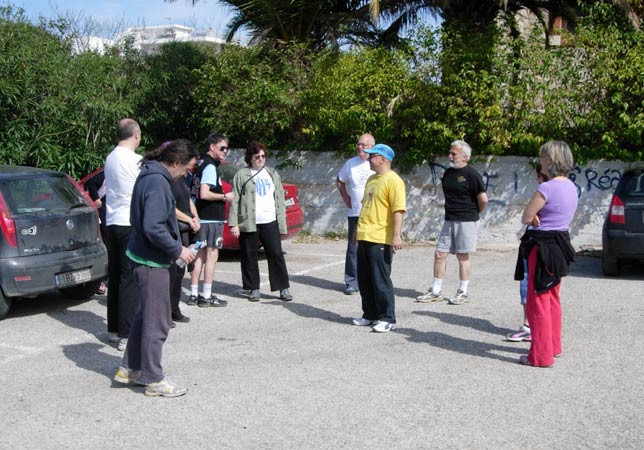
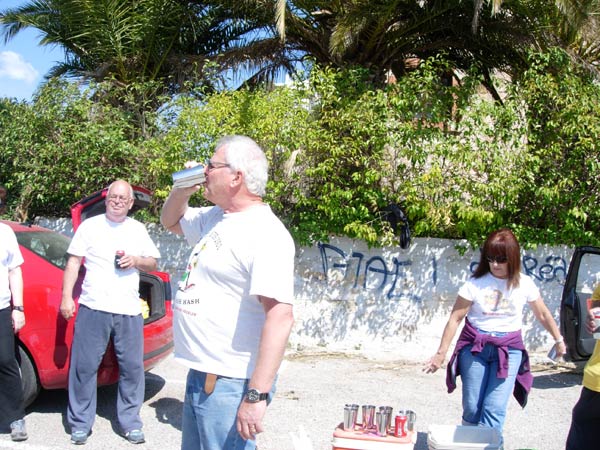
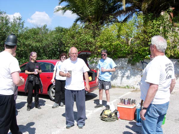
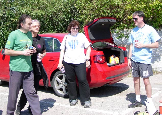
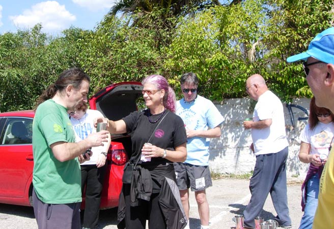
Run
1778 (Sunday 25th March 2012) - Hare:
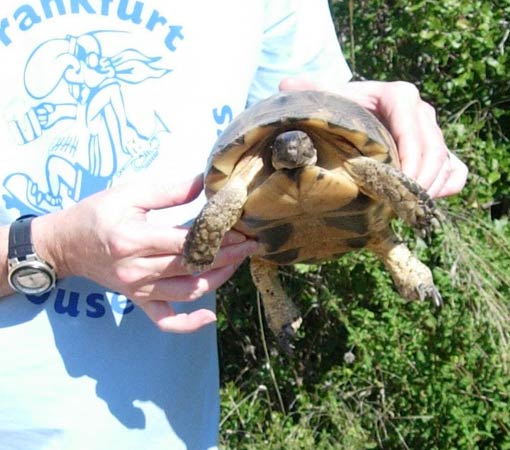
Rear Entry
Photographer:
Mad Dog
NOTE1:
Use the horizontal scroll bar (bottom of screen) to view the panoramic photos.
NOTE2: The Lat. & Lon. coords can be copied and pasted into the Google Earth 'Fly-to' window.
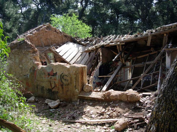
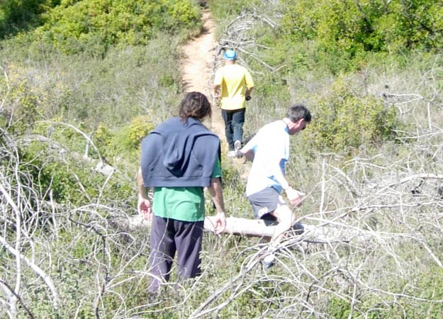
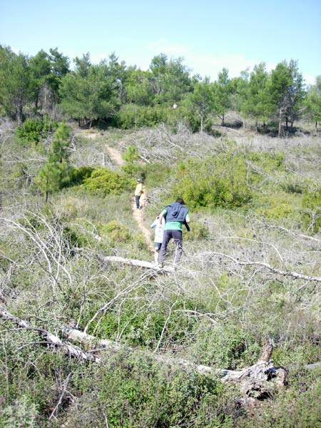
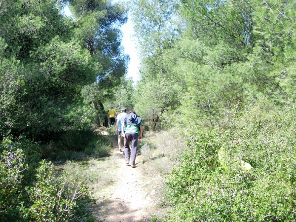
- T
H E T R A I L -
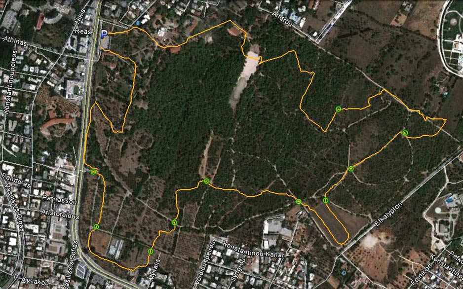
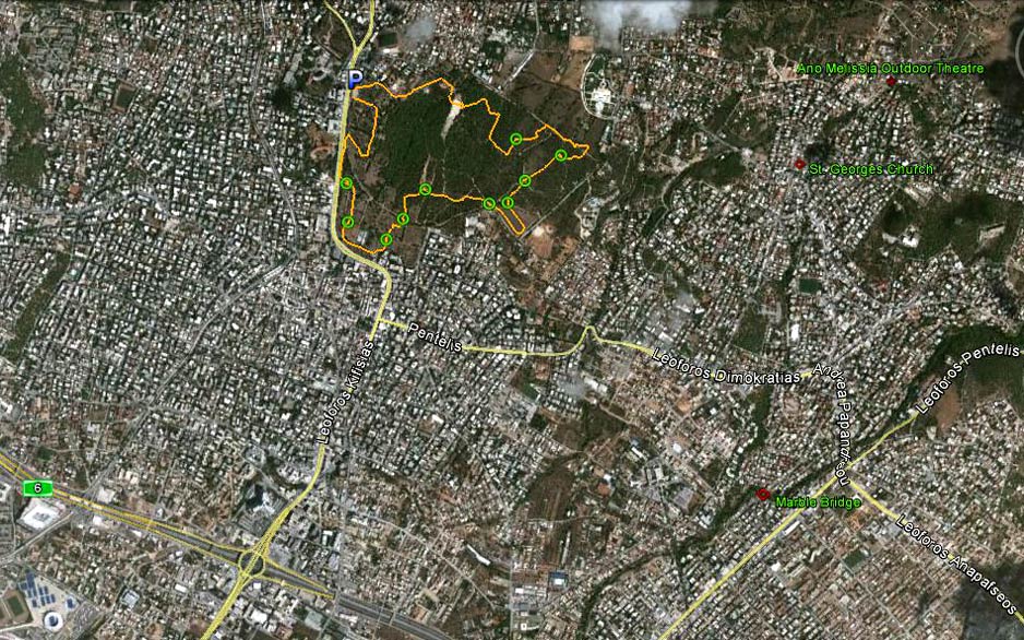
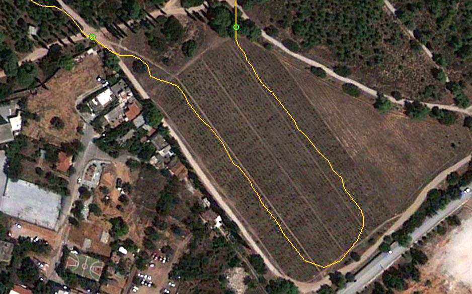
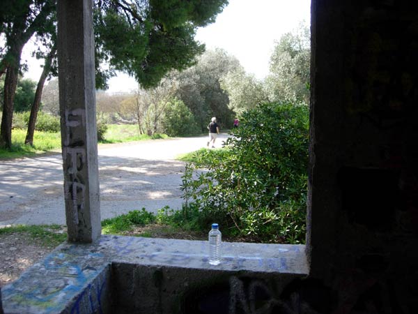
The starting point
& circle (P): 38° 3'53.43"N, 23°48'36.00"E
Altitude: 282 metres above sea level
Trail cartographic Length = 5.5 km
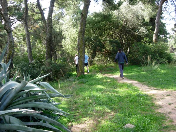
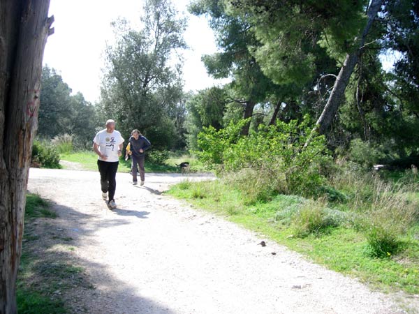
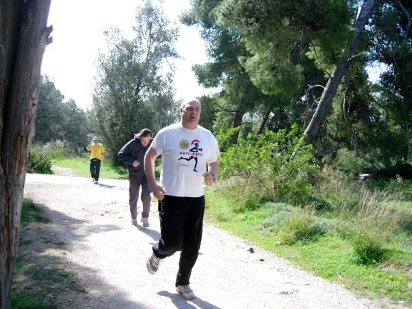
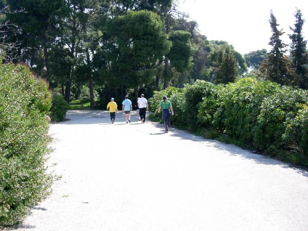
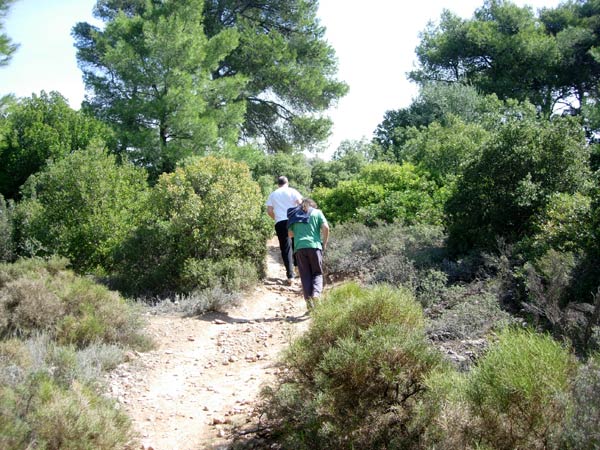
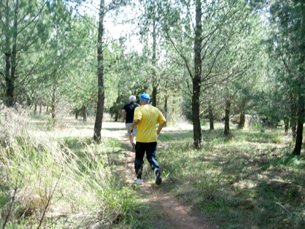
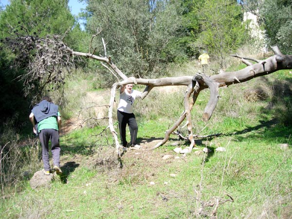
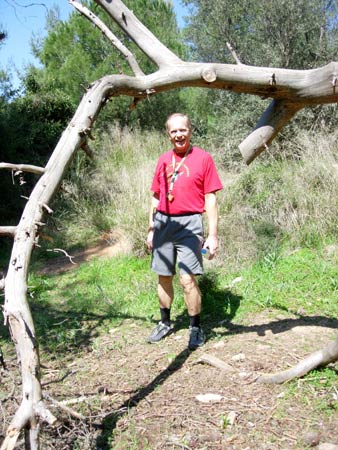
- T H E R U N -


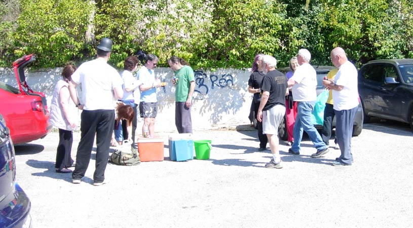
- T H E C I R C L E -
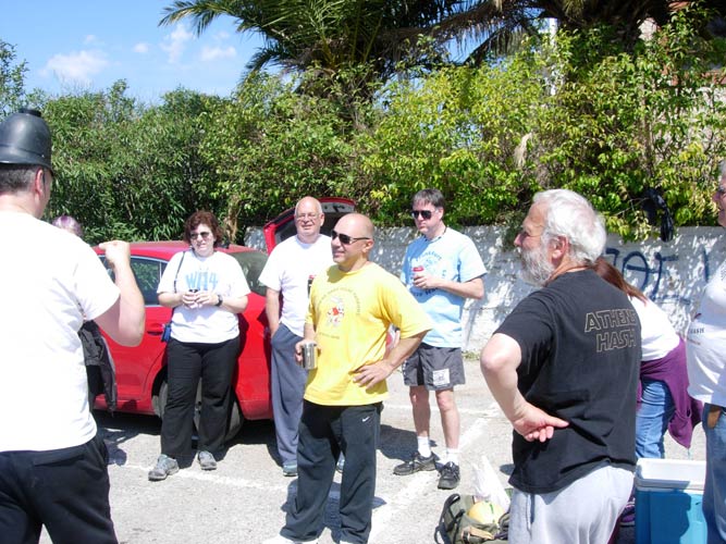
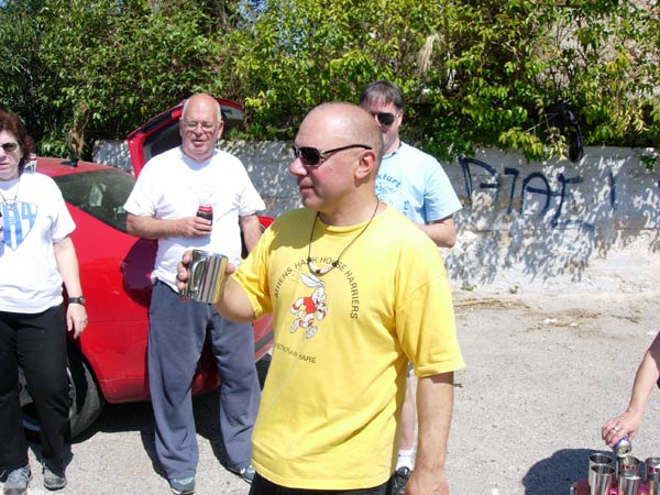

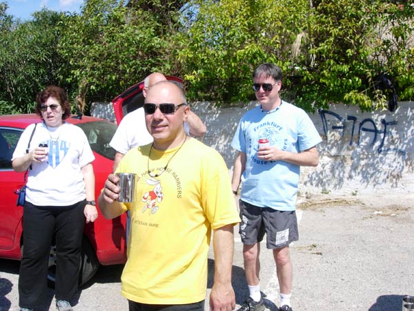
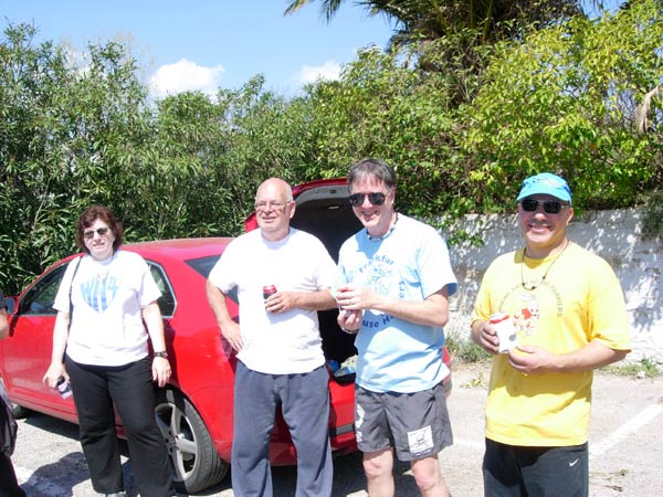

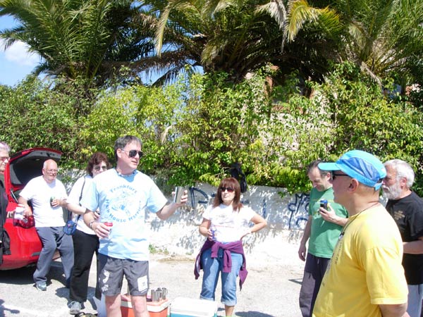
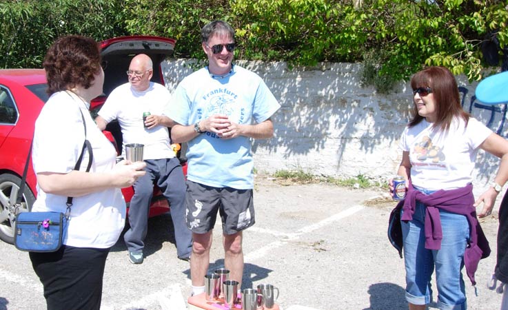
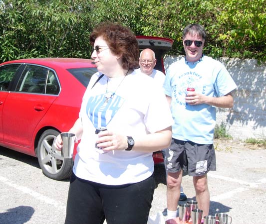

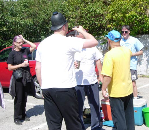
- THE ON ON -
Lunch at Rear Entry & Spy Shagger's Pad in Kifissia
|
NOTES To
send the photo by e-mail as an attachment: MD Feb. 2006 |
Please use your "Back" Button (Top Left) to return to the previous page