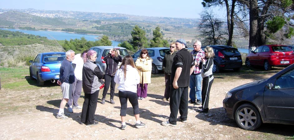
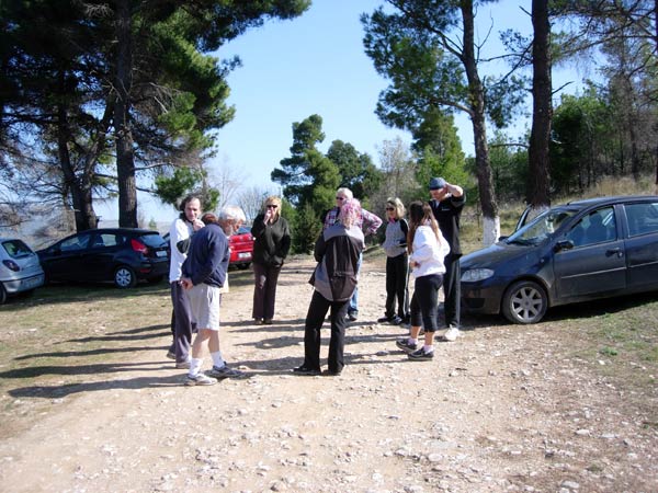
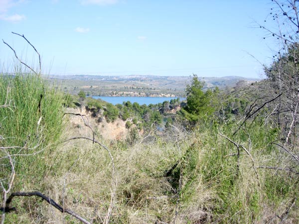
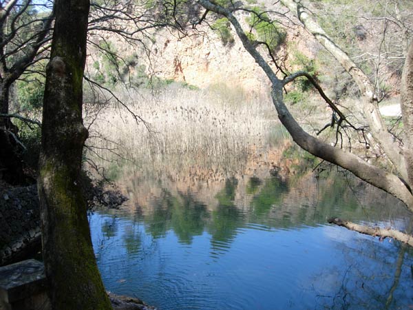
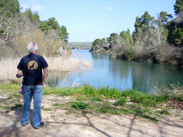
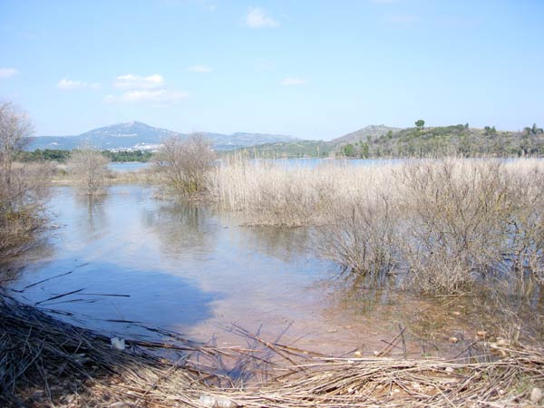
Marathon Lake
(North-East of Athens)
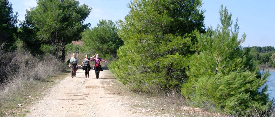
Run 1775 (Sunday 4th March 2012)
Hare: Love Bug
Photographer: Mad Dog
NOTE1:
Use the horizontal scroll bar (bottom of screen) to view the panoramic photos.
NOTE2: The Lat. & Lon. coords can be copied and pasted into the Google Earth 'Fly-to' window.
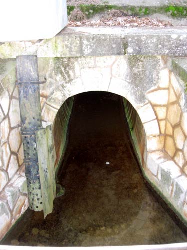
- T
H E T R A I L -
The starting point
& circle (P): 38° 09' 27.04" N, 23° 53' 10.03" E
Altitude: 330 metres above sea level
Walker's Trail cartographic Length = 5.2 km
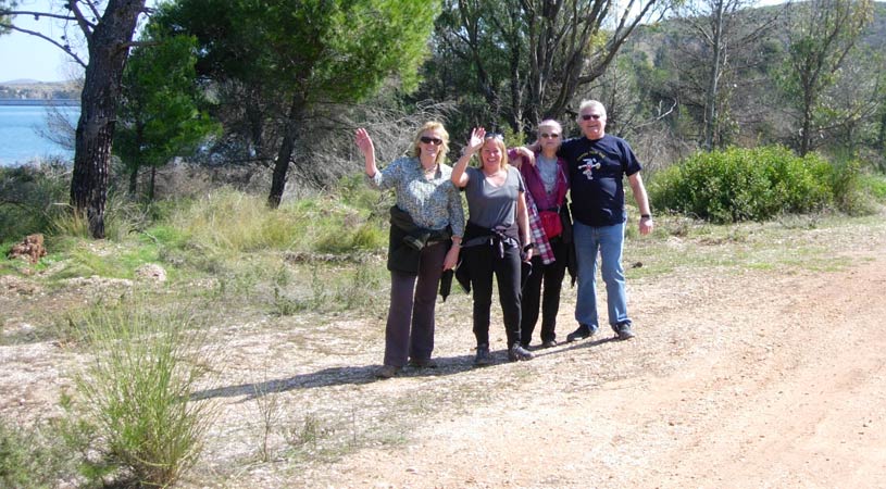
- T H E R U N AND W A L K -
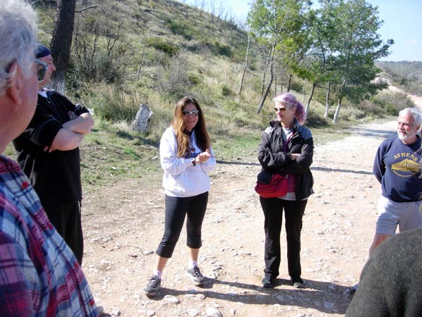
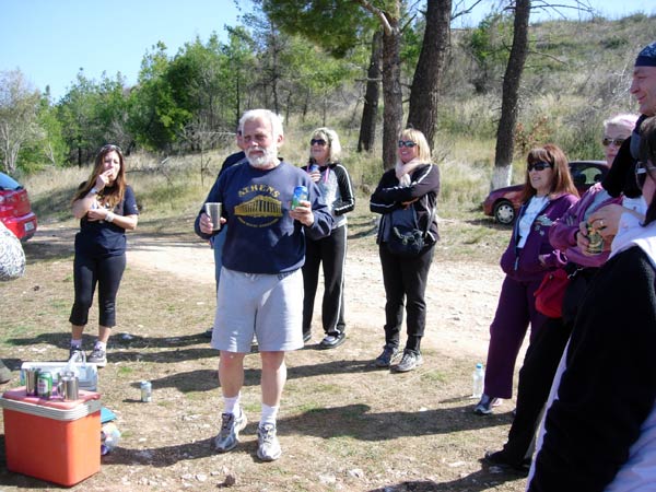
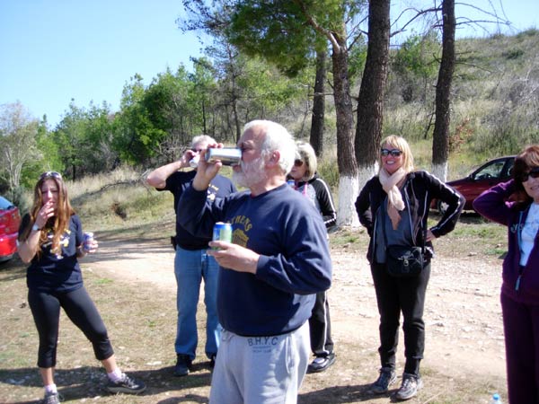
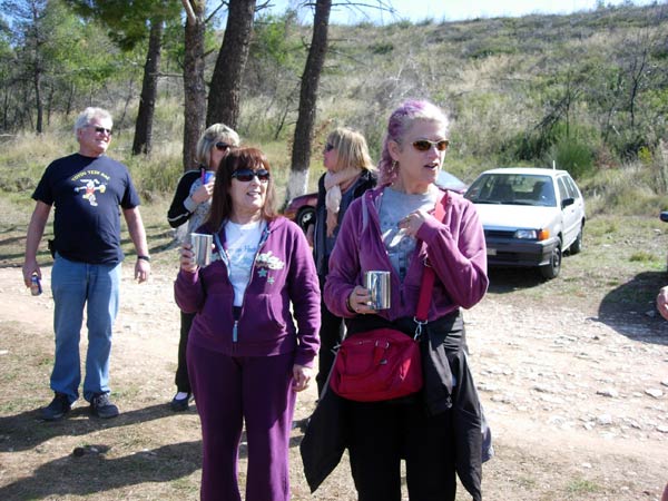
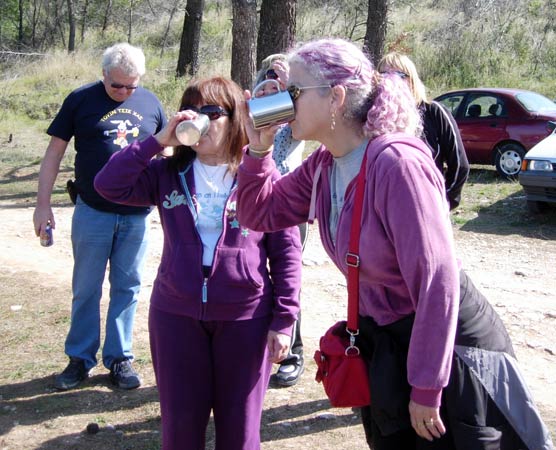
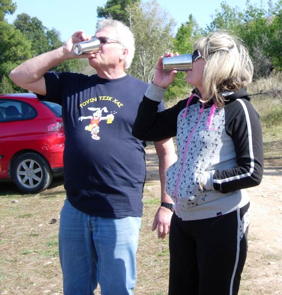
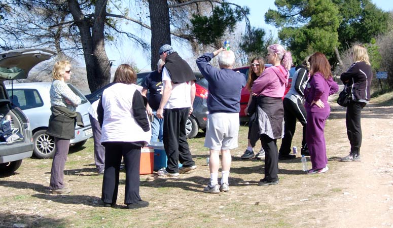
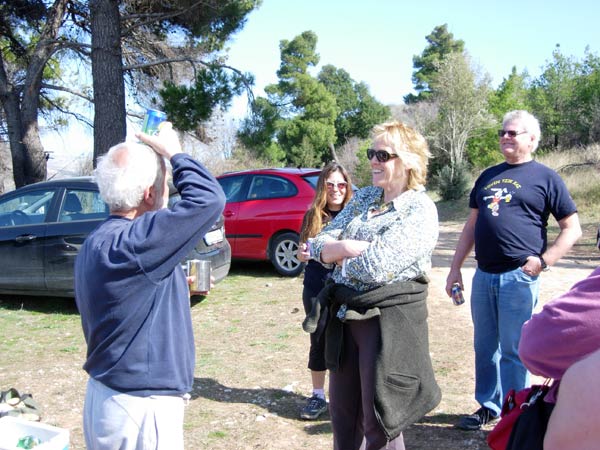
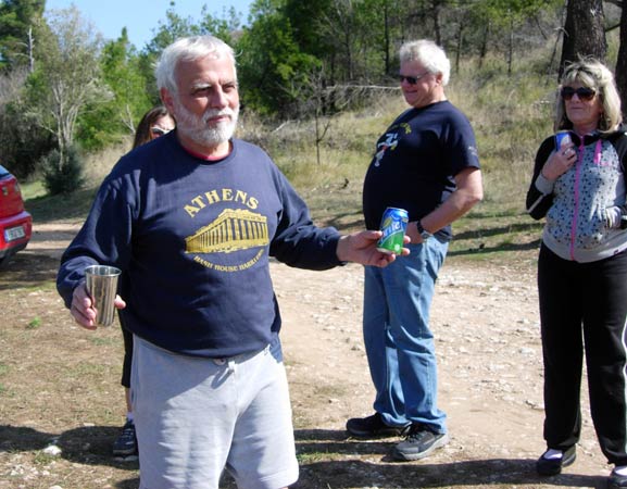
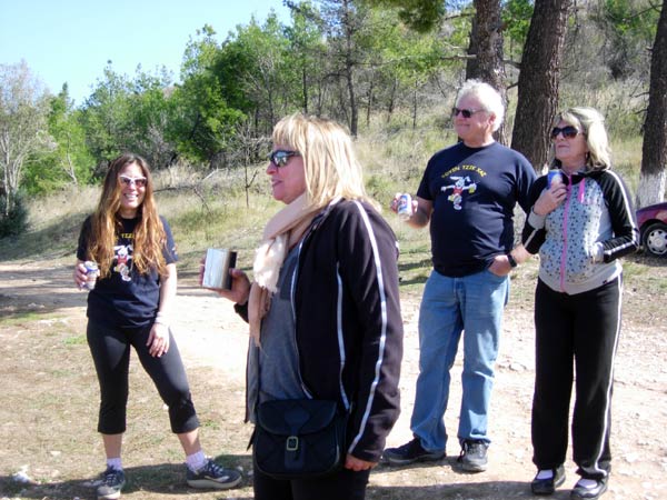
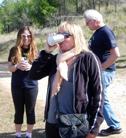
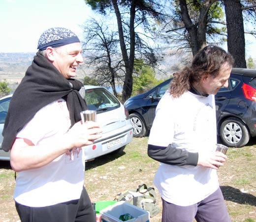
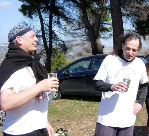
- T H E C I R C L E -
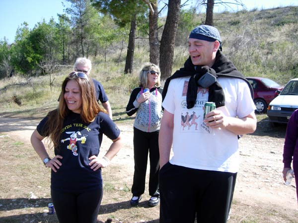
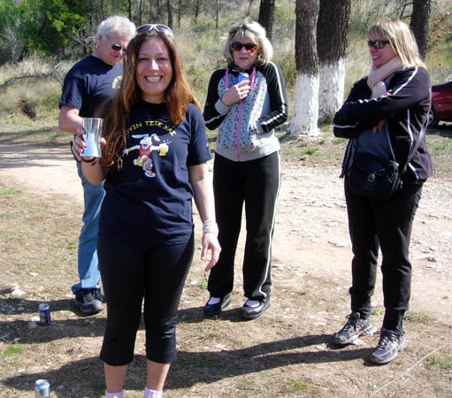
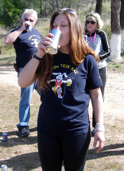


- T H E T A V E R N A -

|
NOTES To
send the photo by e-mail as an attachment: MD Feb. 2006 |
Please use your "Back" Button (Top Left) to return to the previous page