Northern Houston, Texas
(Athens Hashers away from home and running with the Houston Hash House Harriers)
Houston Hash run
1767 - Sunday 18th December 2011
(Almost coinciding with Athens Hash run 1766 on this same day)
Featuring lots of woodland, shiggy and mud
Photographer: Mad Dog
- T H E T R A I L -
The lat/lon coordinates of the:
Starting point: 30° 2'51.35"N, 95°25'44.33"W
End point
& circle: 30° 2'6.52"N,
95°27'20.43"W
Altitude: 32 metres above sea level
Trail cartographic Length = 9.96 km
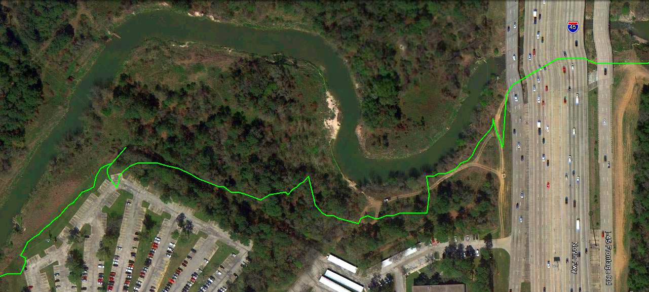
The A-to-B trail from 3.7km altitude. "P" marks the start of the trail.
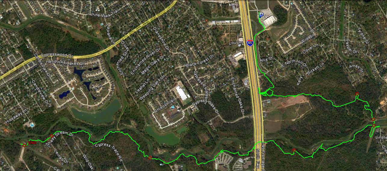
Note where the trail crosses the river (on the right) and under the I-45 freeway (although it appears to be over the top)
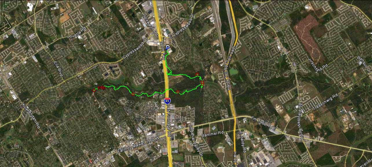
From 12km up.
Note the neatly but interestingly laid-out residential areas.
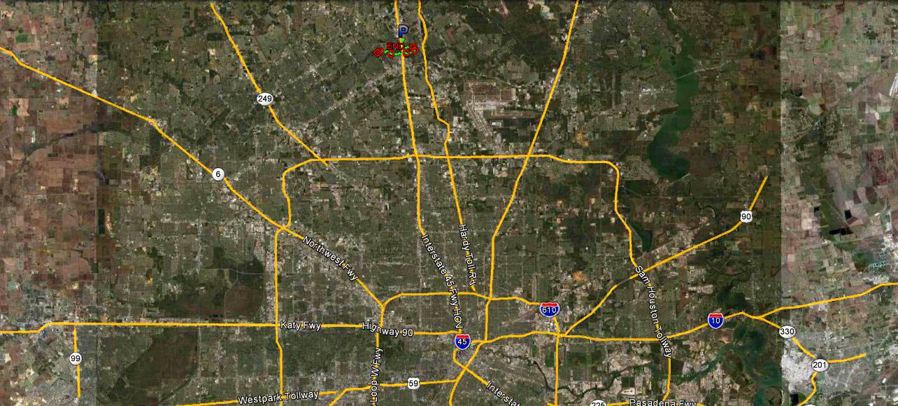
From 85km up - showing the road system and location of the trail
A section of the trail from 570m up - giving a view of the Interstate I-45 freeway
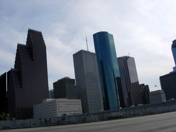
- Driving to the start of the run from Sugar Land -
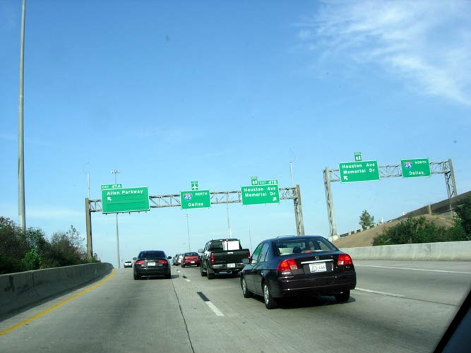
Heading North on I-45
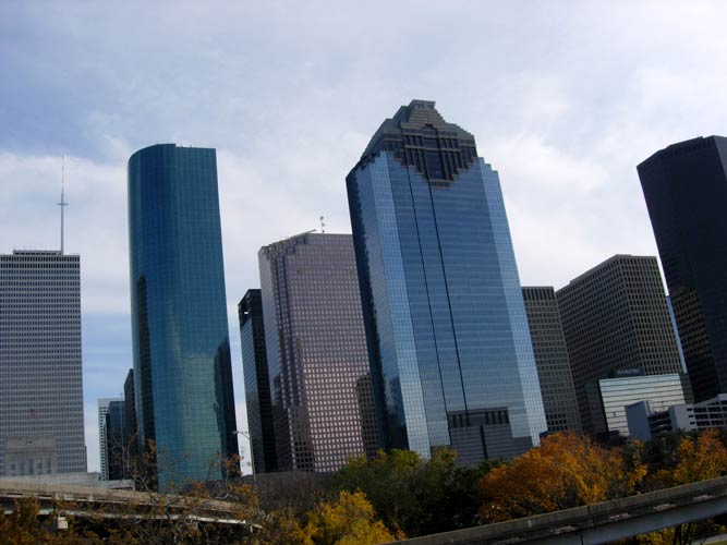
Passing the downtown commercial area
- The Run -
Mad Dog buys some long socks from haberdash and gets left behind.
Where the f... have the runners gone?
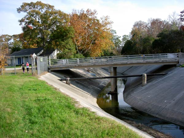
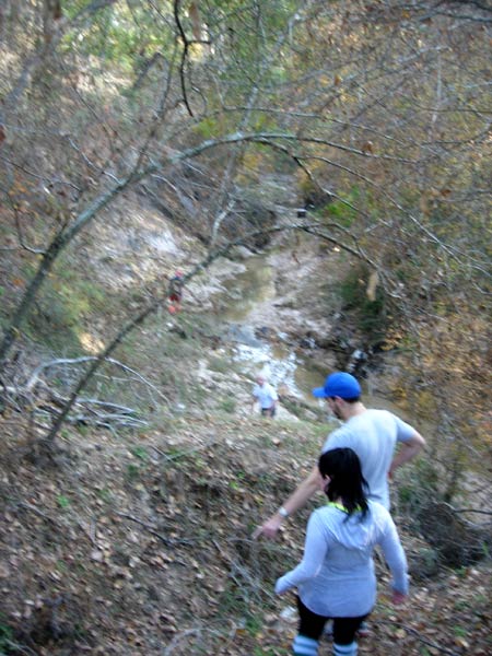
Ah! There's a couple of walkers
OK I've found a couple of hashers but they have lost the trail.
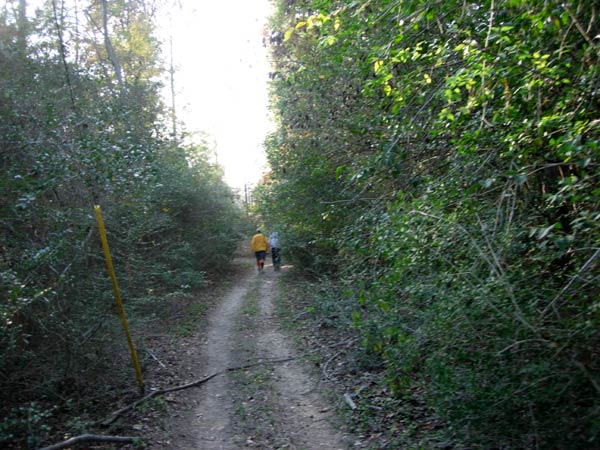
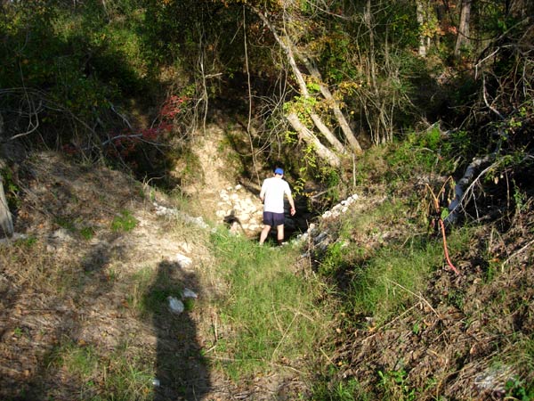
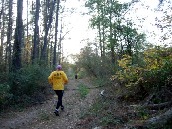
Ah! This looks like the trail
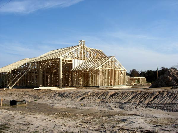
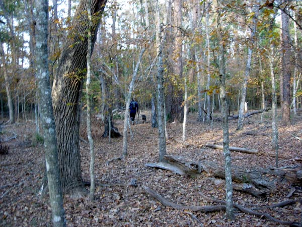
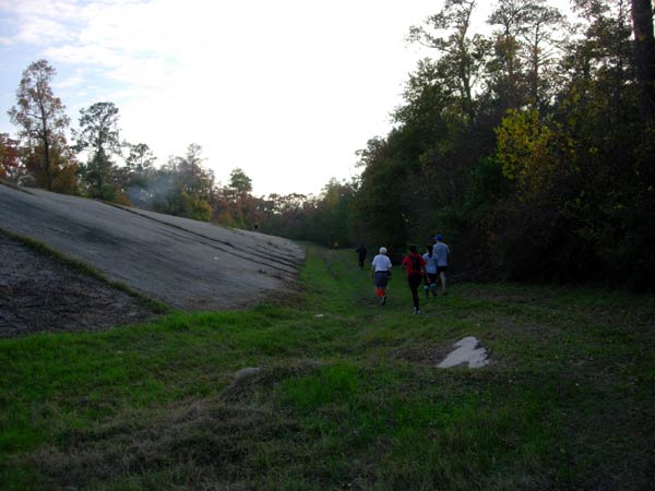
Following the trail past a construction site. The houses here in houston are mainly woood framed.
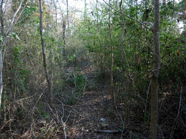
Finally finding some hashers on trail - as the trail leads into the woodland again.
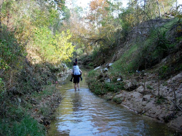
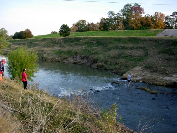
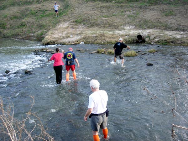
Most jump across the stream but this guy wades along it carrying his girlfriend
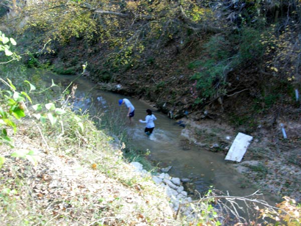
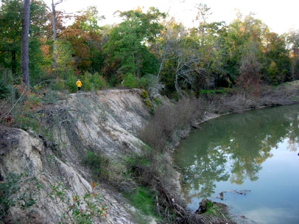
The water gets deeper down there and they wade to the river bank
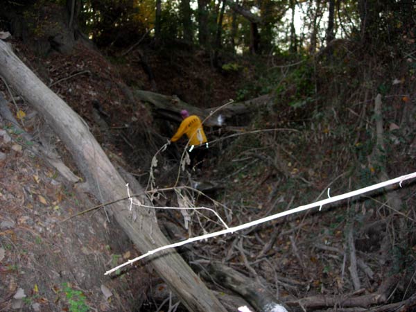
Fallen trees make good ways to cross
Down again into the river bed
Back into the woodland
Hasher pioneers the crossing
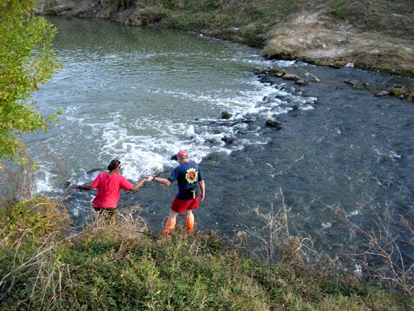
Hasher gallantry
A chance to get one's trainers & socks clean...
On on
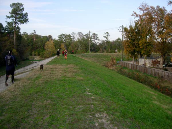
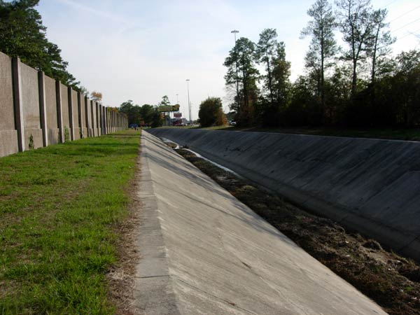
Running along the top of the levee embankment
(Definition: Levee-
An embankment built to prevent the overflow of a river)
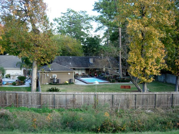
Houston single-storey houses with their swimming pools and back yards
On on!
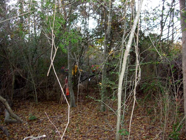
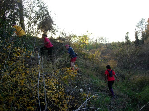
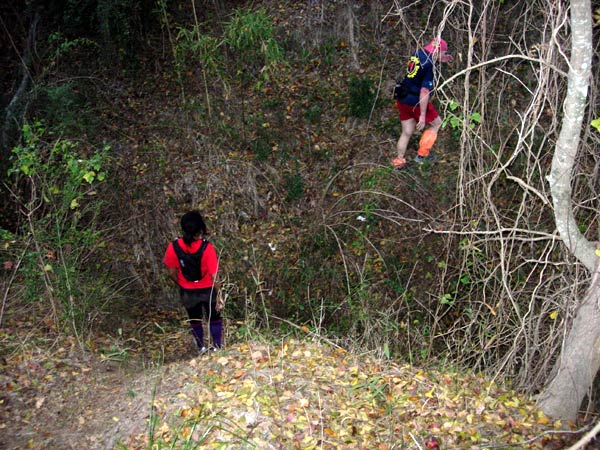
Back into the woods
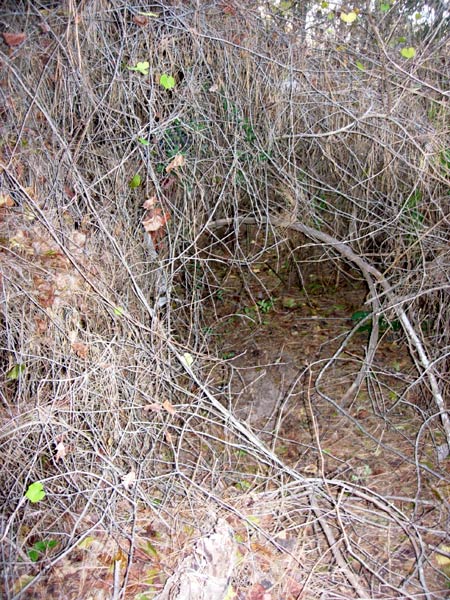
Crawling through the thorn bushes
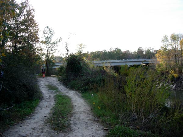
Heading for the I-45 freeway
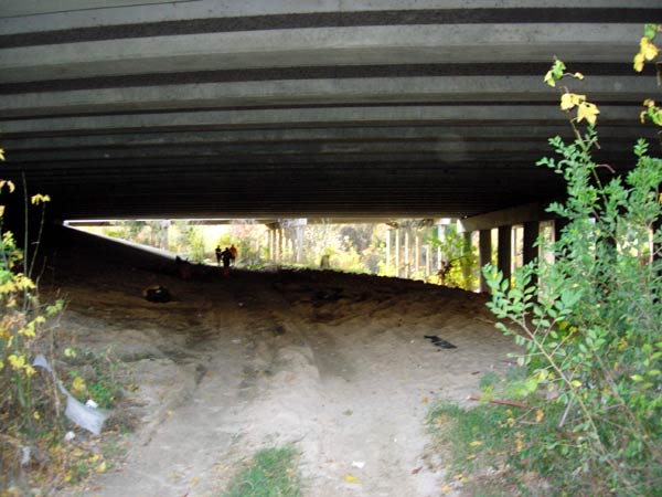
Under the freeway
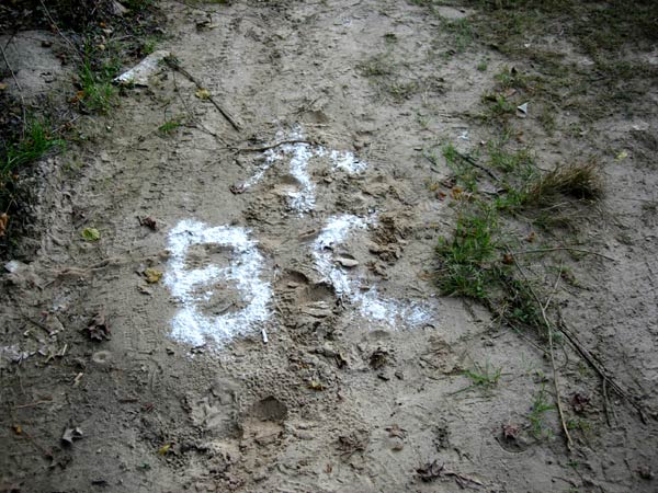
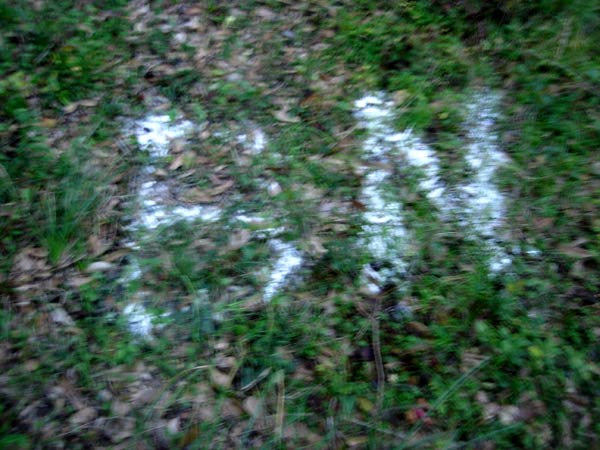
Beer Check sign
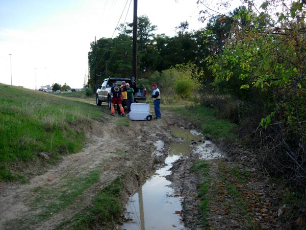
Beer at last
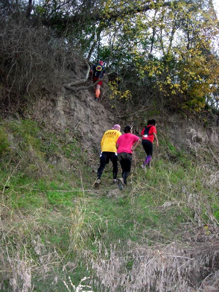
Down the muddy bank
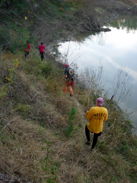
river bank running
Up the river bank again
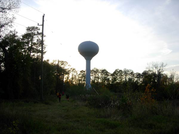
Water tower
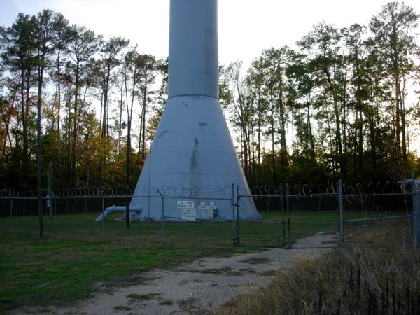
Showing the huge size of the tower
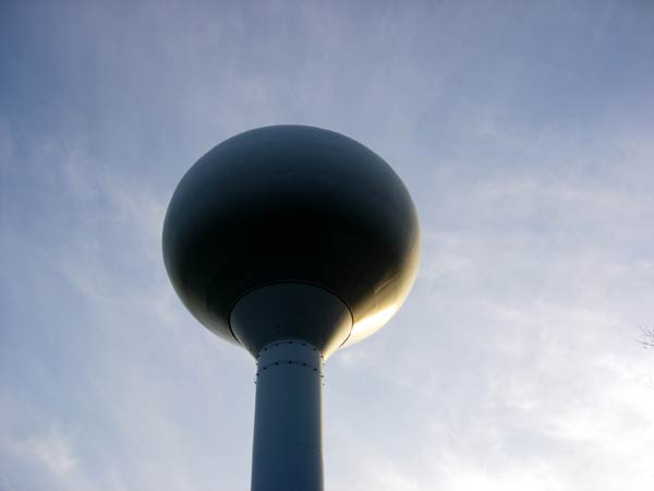
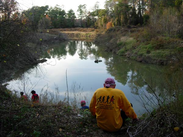
Water reservoir lit by the setting sun
On on!
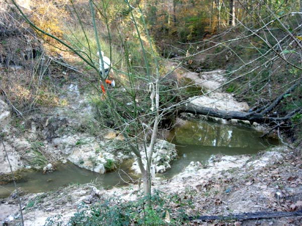
Making way along a dry river bed filled with dead branches
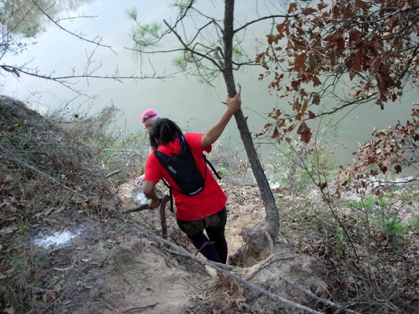
Using a tree to swing down the muddy track
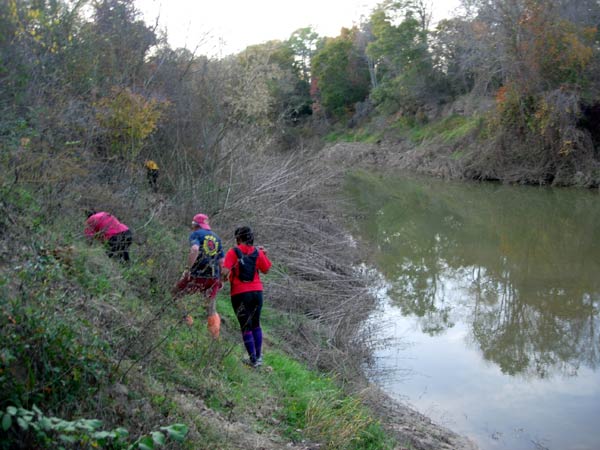
Running along by the river again
Down the bank towards the river
Up the bank again
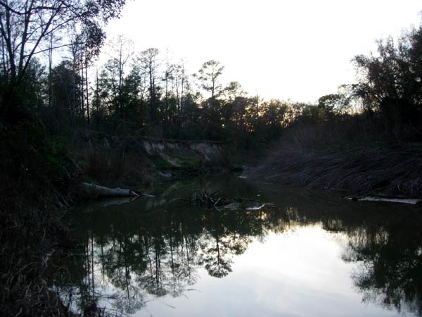
Typical swampy river scene
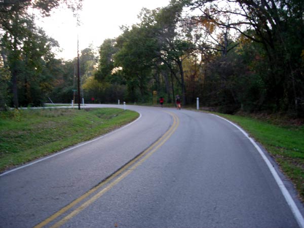
Finally some road running
Thr BN (Beer Near) mark - meaning the end is close
Now it's getting dark
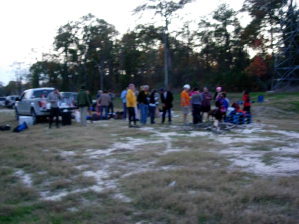
Low lighting blurs the photo of the hashers at the end of the run.
The circle was basically conducted after nightfall.
Mad Dog awarded Tender Vittles (whose mother hash is Athens) his 50 run mug in the circle
|
NOTES To
send the photo by e-mail as an attachment: MD Feb. 2006 |
Please use your "Back" Button (Top Left) to return to the previous page