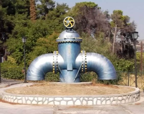
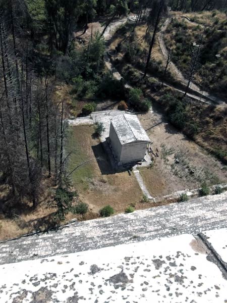
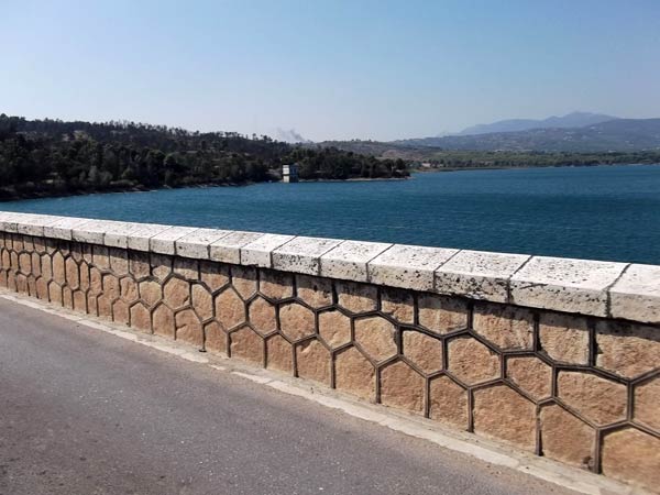
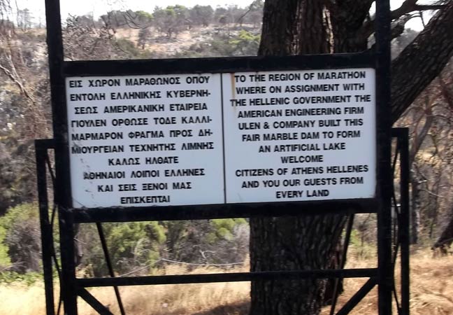
Marathon Lake
(North of Athens)
Run 1754 (Sunday 25th September 2011)
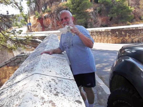
Hare: Mountain Goat
Photographer: Mad Dog + Assistant
NOTE1:
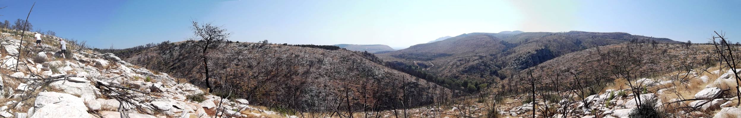
Use the horizontal scroll bar (bottom of screen) to view the panoramic photos.
NOTE2: The Lat. & Lon. coords can be copied and pasted into the Google Earth 'Fly-to' window.
- T
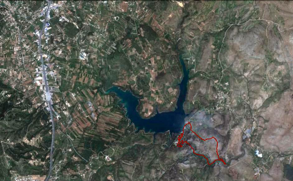
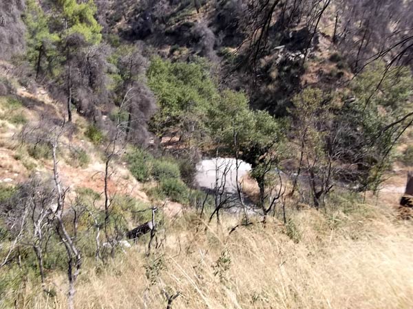
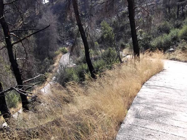
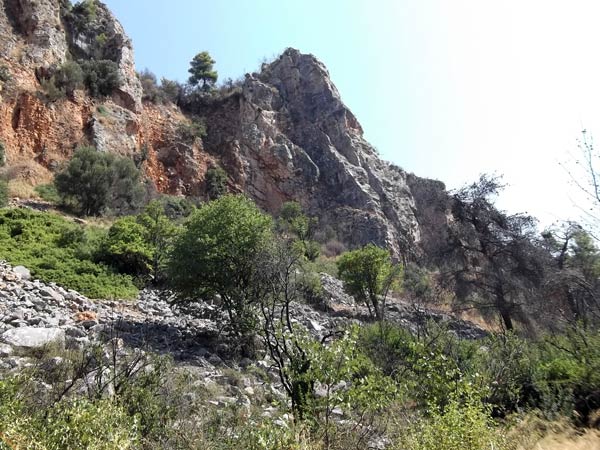
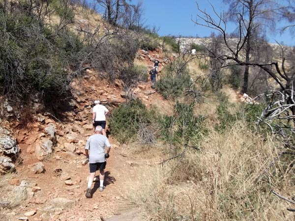
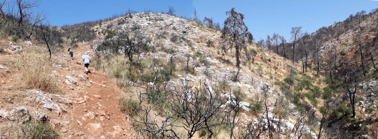
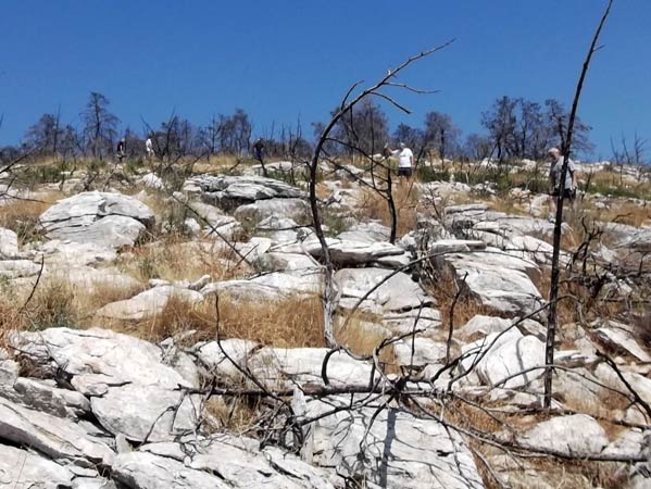
H E T R A I L -
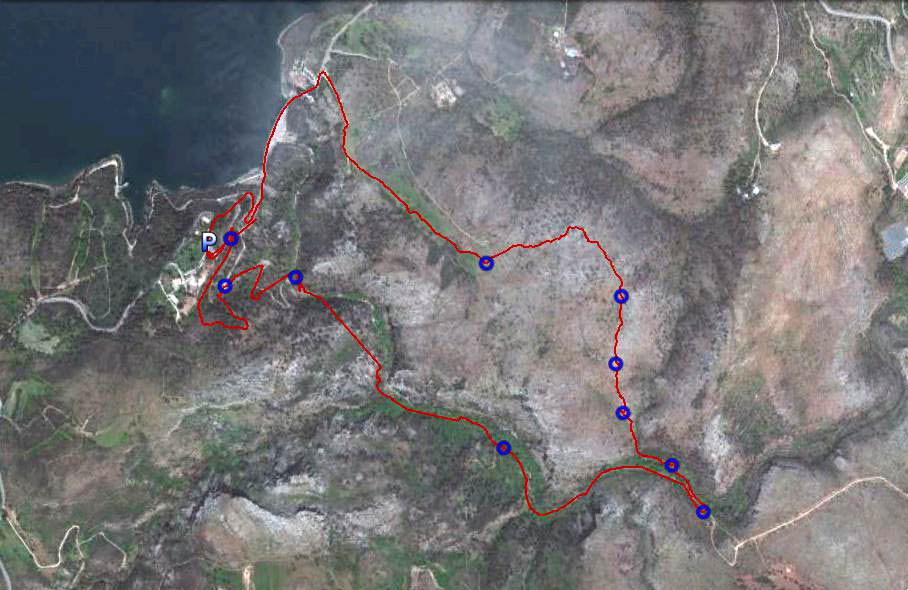
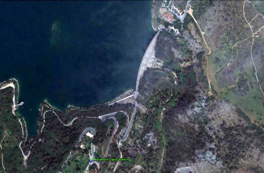
The starting point
& circle (P): 38° 9'48.62"N, 23°54'11.84"E
Altitude: 257 metres above sea level
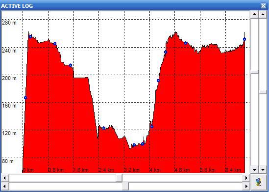
Trail cartographic Length = 7.3 km
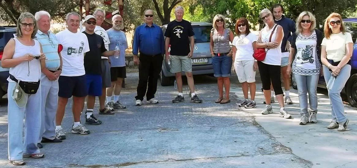
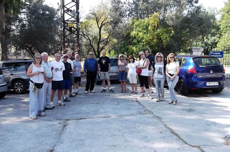
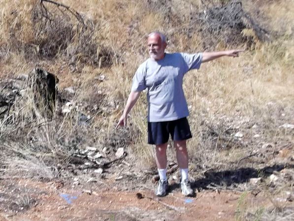
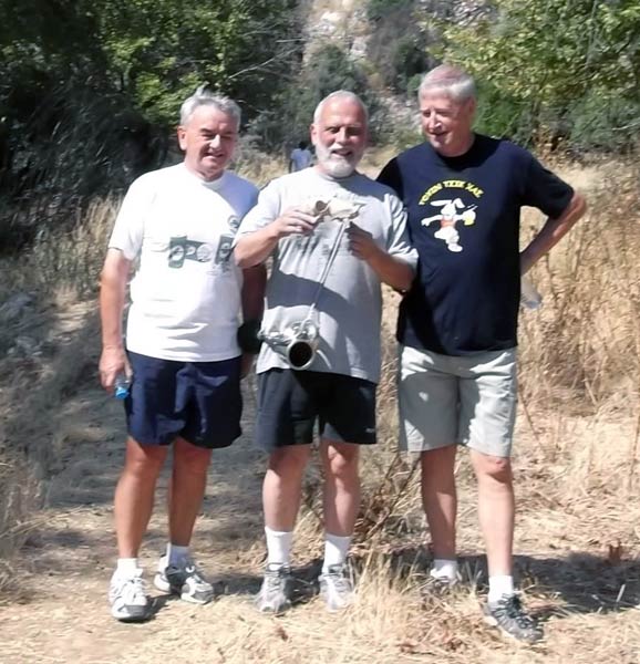
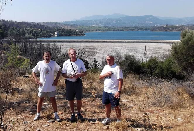
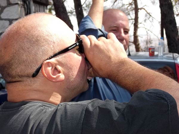
- T H E H A S H E R S -
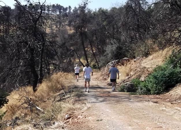
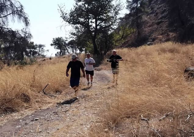
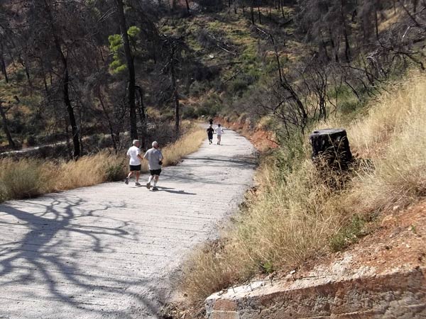
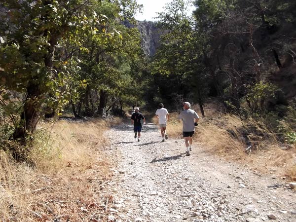
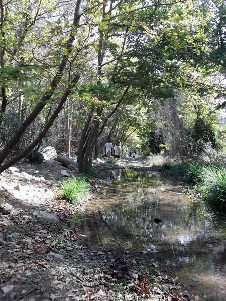
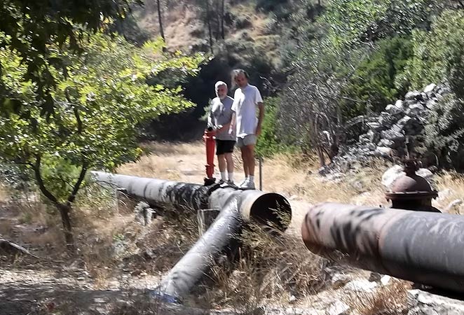
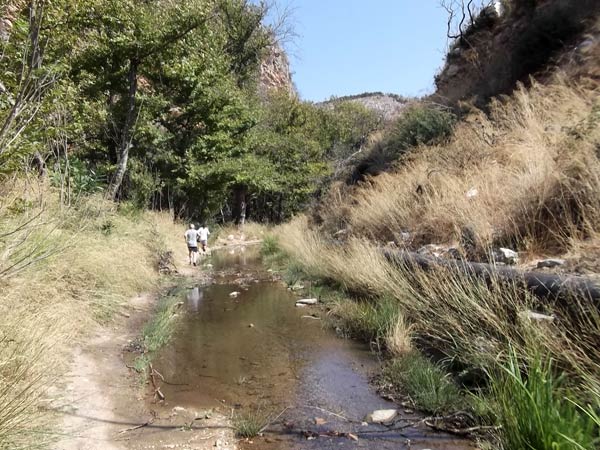
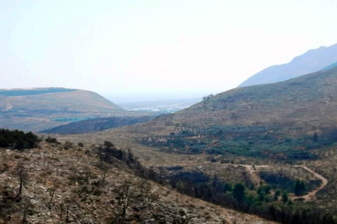
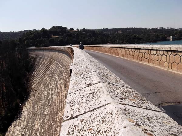
- T H E R U N -


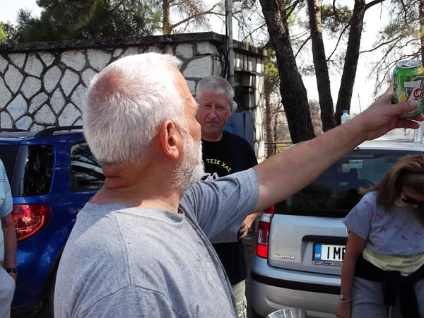
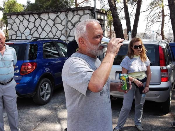
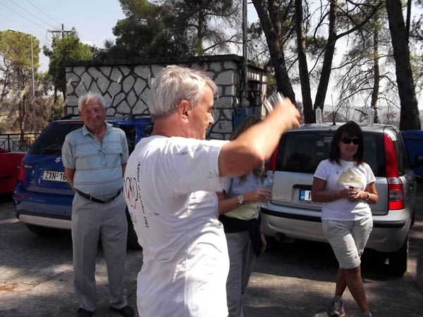
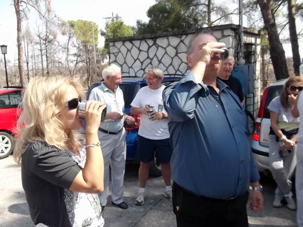
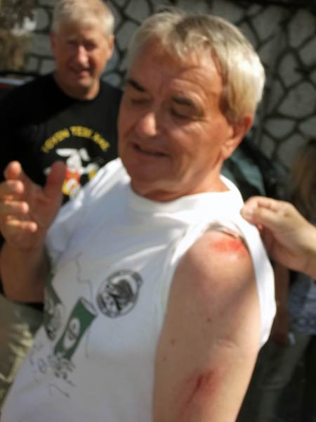
- T H E C I R C L E -


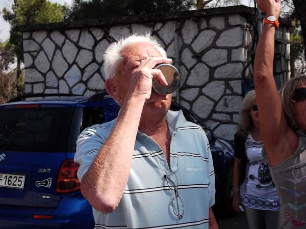


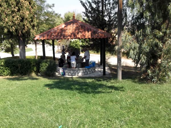
- T H E P I C N I C -


|
NOTES To
send the photo by e-mail as an attachment: MD Feb. 2006 |
Please use your "Back" Button (Top Left) to return to the previous page