Varibobi
(North-Western Athens)
Run 1750 (Monday 11th July 2011)
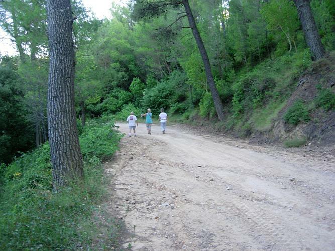
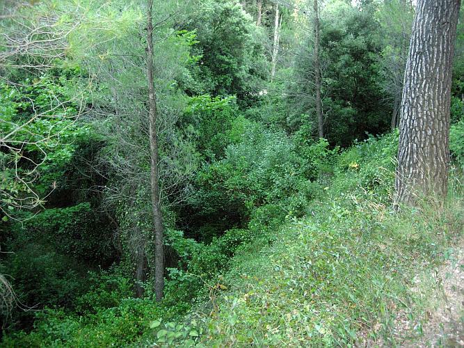
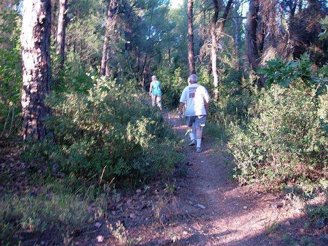
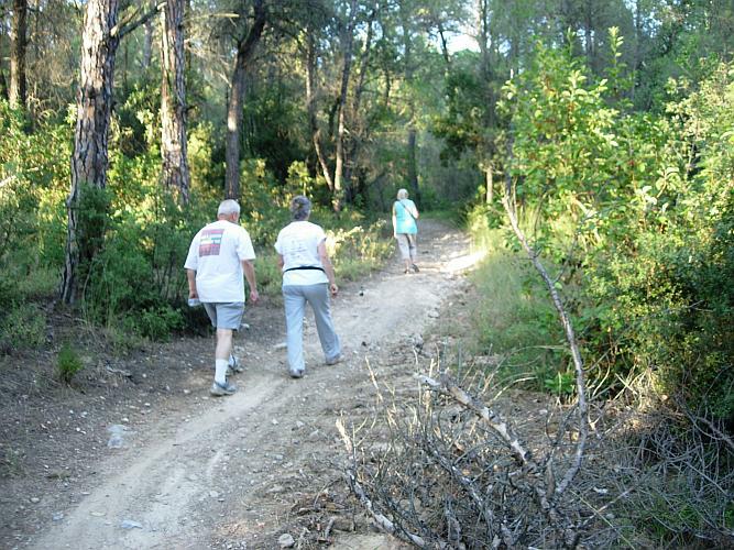
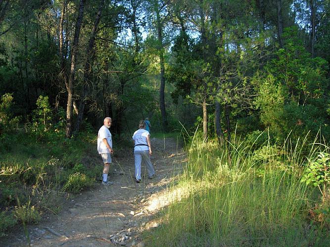
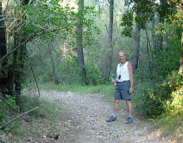
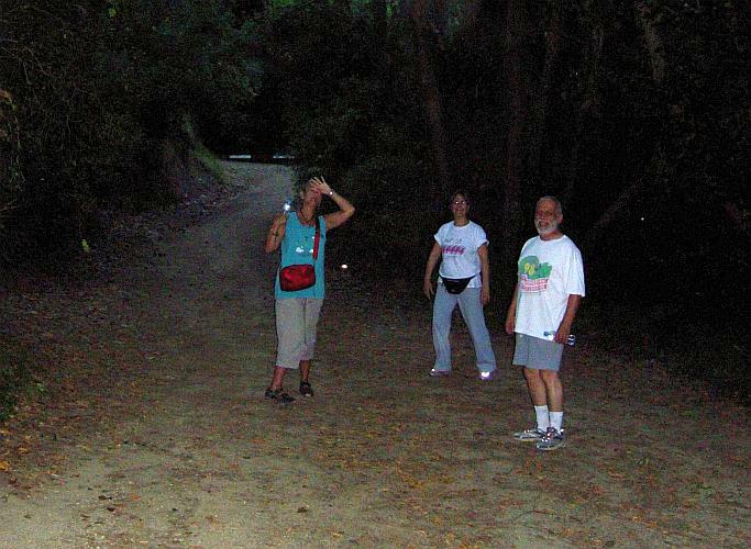
WALK
IN THE ROYAL FOREST
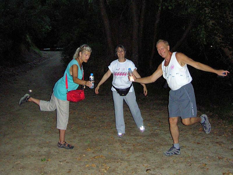
Photographer: Mad Dog
NOTE1:
Use the horizontal scroll bar (bottom of screen) to view the panoramic photos.
NOTE2: The Lat. & Lon. coords can be copied and pasted into the Google Earth 'Fly-to' window.
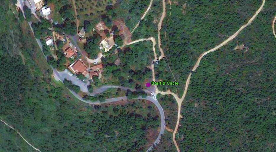
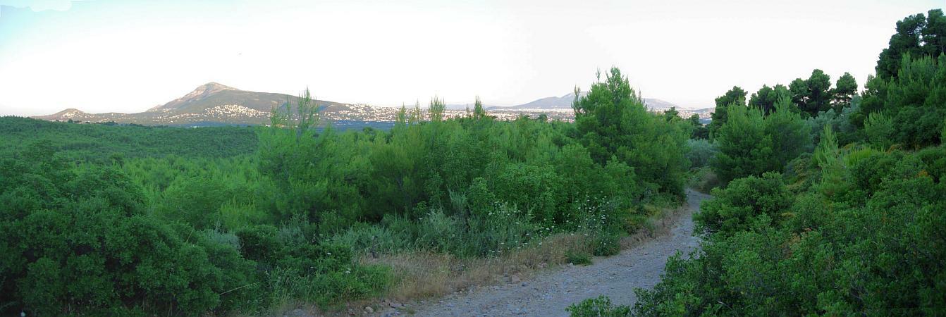
- T
H E T R A I L -
The starting point
& circle (P): 38° 8'38.20"N, 23°47'37.73"E
Altitude: 417 metres above sea level
Walk cartographic Length = 4.25 km
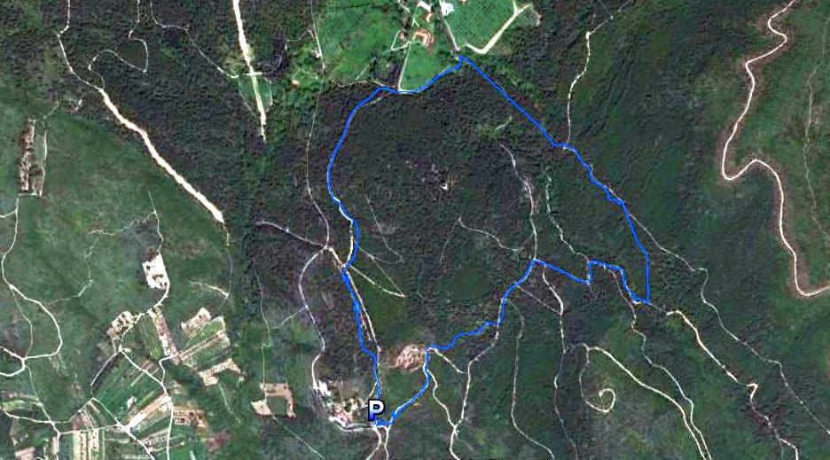
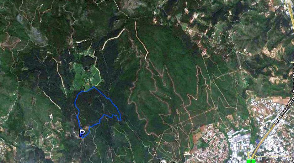
- T H E W A L K -
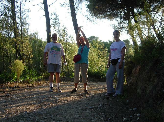
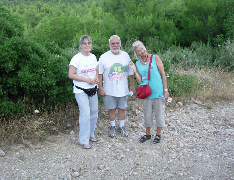
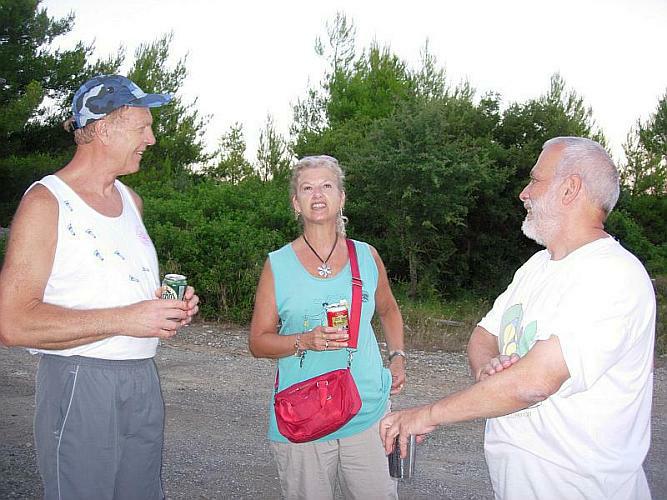
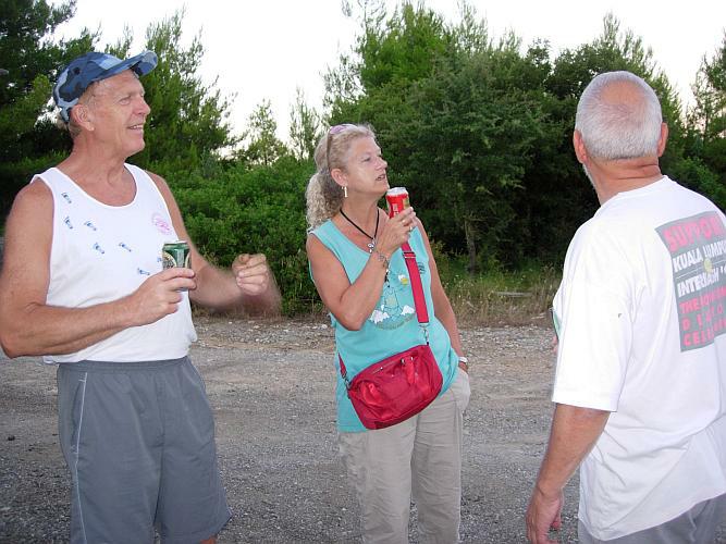
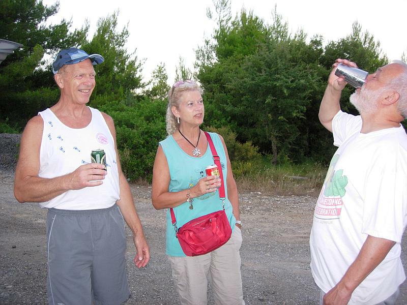
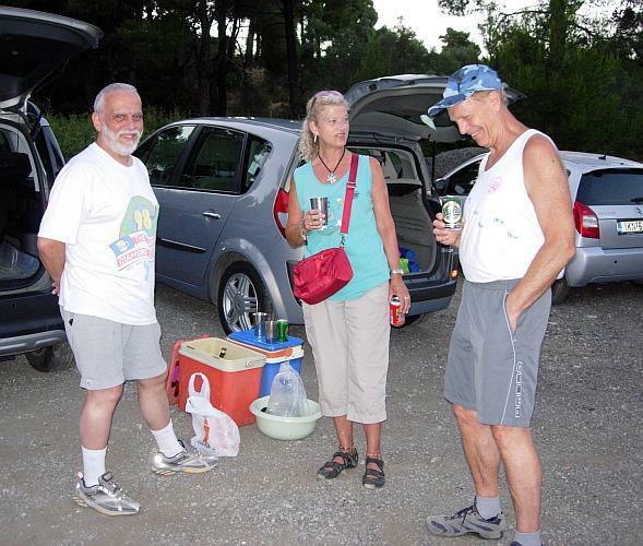
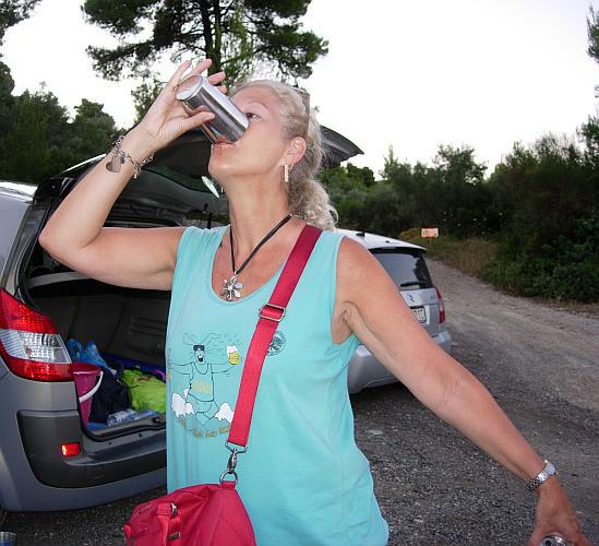
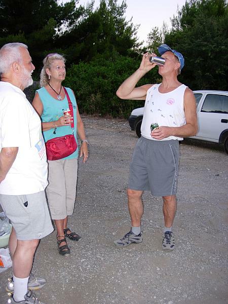
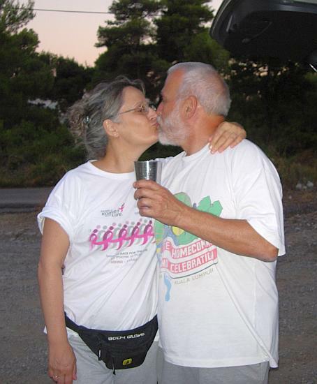
- T H E C I R C L E -
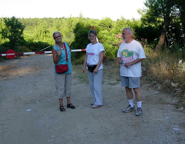
- T H E T A V E R N A -
New one with great lamb chops so MG says.
|
NOTES To
send the photo by e-mail as an attachment: MD Feb. 2006 |
Please use your "Back" Button (Top Left) to return to the previous page