Ano
Melissia
(Northern Athens)
Run/walk 1742 (Sunday 17th April 2011)
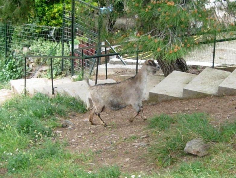
Hare: A real LIVE mountain goat...
Photographer:
Mad Dog
NOTE1:
Use the horizontal scroll bar (bottom of screen) to view the panoramic photos.
NOTE2: The Lat. & Lon. coords can be copied and pasted into the Google Earth 'Fly-to' window.
-
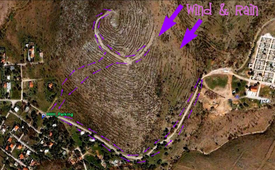
T H E T R A I L -
The starting point
& circle (P): 38° 4'9.41"N, 23°50'40.67"E
Altitude: 407 metres above sea level
Trail cartographic Length = 2.2 km
The trail from 1.6 km up
View from 4.6 km up
- T H E W A L K -
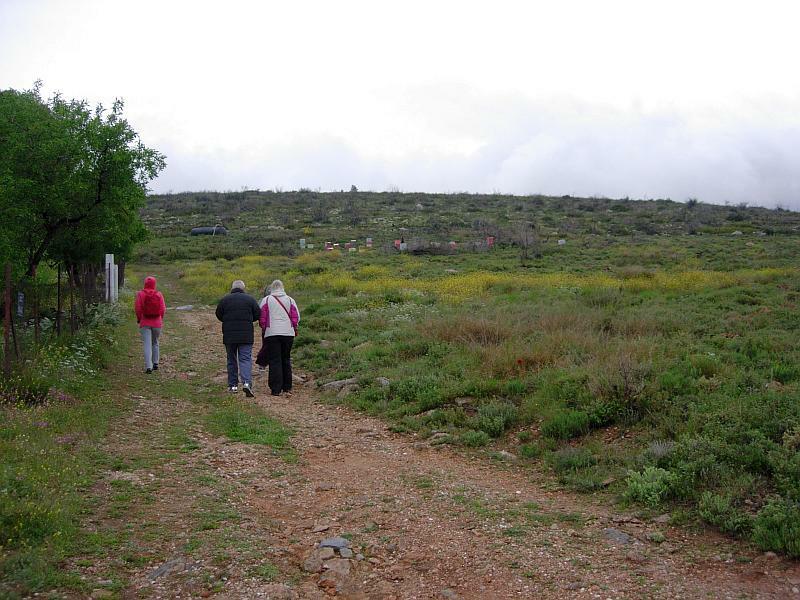
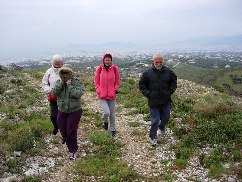
Setting off up the hill
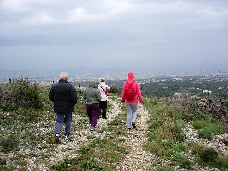
On the hilltop the cold wind-driven rain stings the walker's faces & soaks their clothes so they turn around
The other side of the hill is as bad
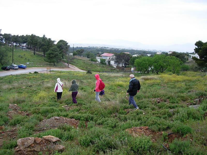
Heading for lower ground and the shelter of the hill from the northern wind.
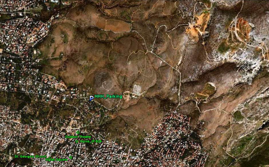
The walk continued around the base of the hill towards the cemetery and back.
- T H E C I R C L E -
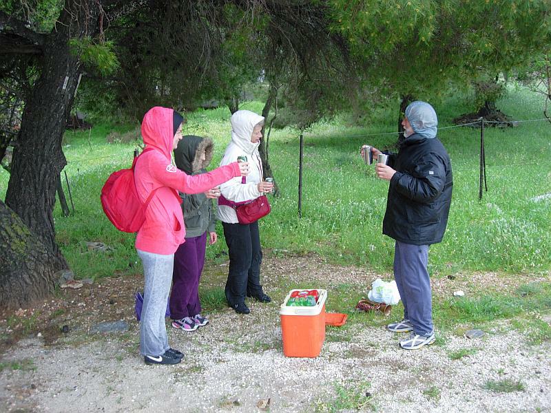
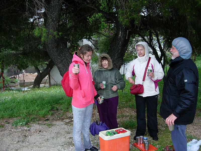
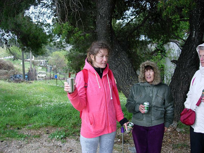
Cold & soaking wet the hashers shelter under the tree from the rain.
Mad Dog combines being GM with taking the photos.
Mountain
goat is appointed the surrogate hare and gets the down-down
We welcome Tirina Hash visitor Dirty Pocahontas who made the effort to join us on such a wet day.
She is asked the 4 questions
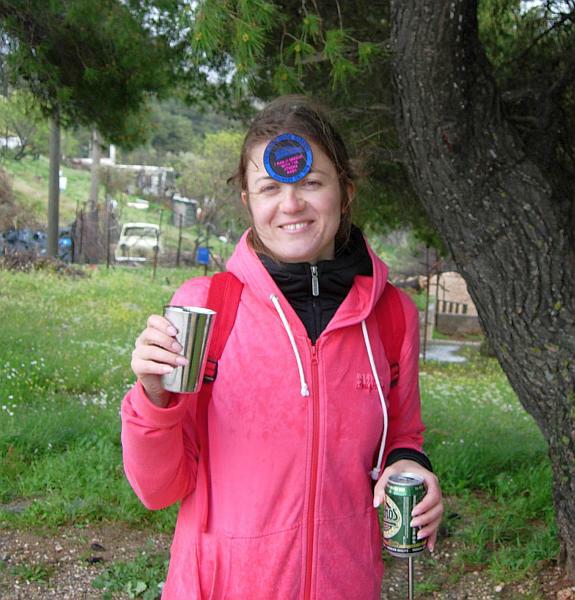
And awarded a visitor's badge.
- T H E T A V E R N A -
None this time - too cold & wet
|
NOTES To
send the photo by e-mail as an attachment: MD Feb. 2006 |
Please use your "Back" Button (Top Left) to return to the previous page