Varibobi
(North-West of Athens)
Run 1738 (Sunday 20th March 2011)
Hare: Mountain Goat
Photographer: Mad Dog
NOTE1:
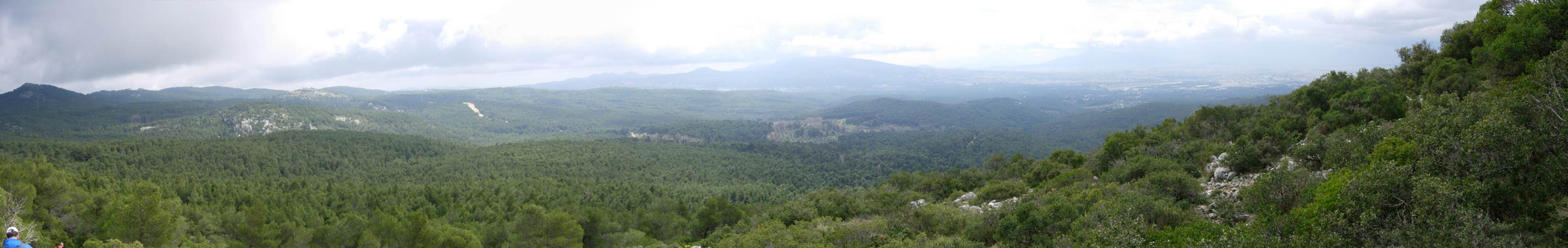
Use the horizontal scroll bar (bottom of screen) to view the panoramic photos.
NOTE2: The Lat. & Lon. coords can be copied and pasted into the Google Earth 'Fly-to' window.
- T
H E T R A I L -
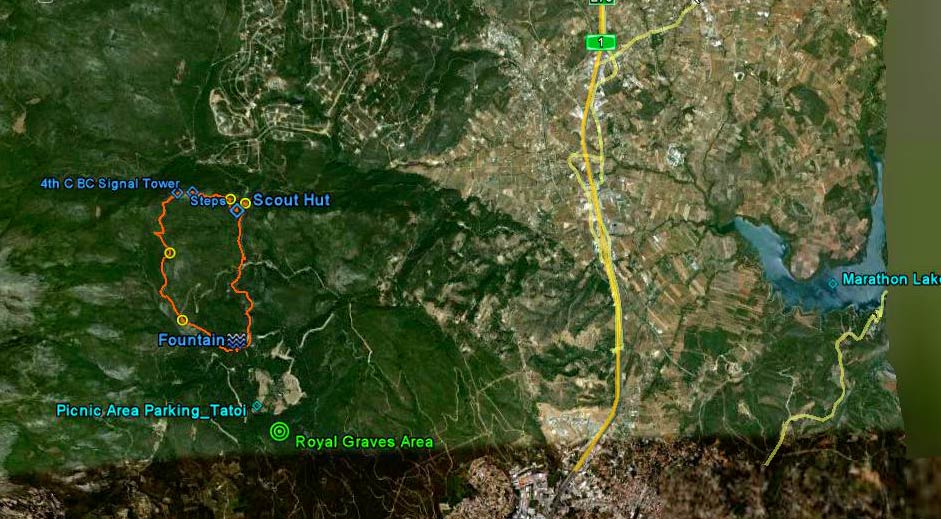
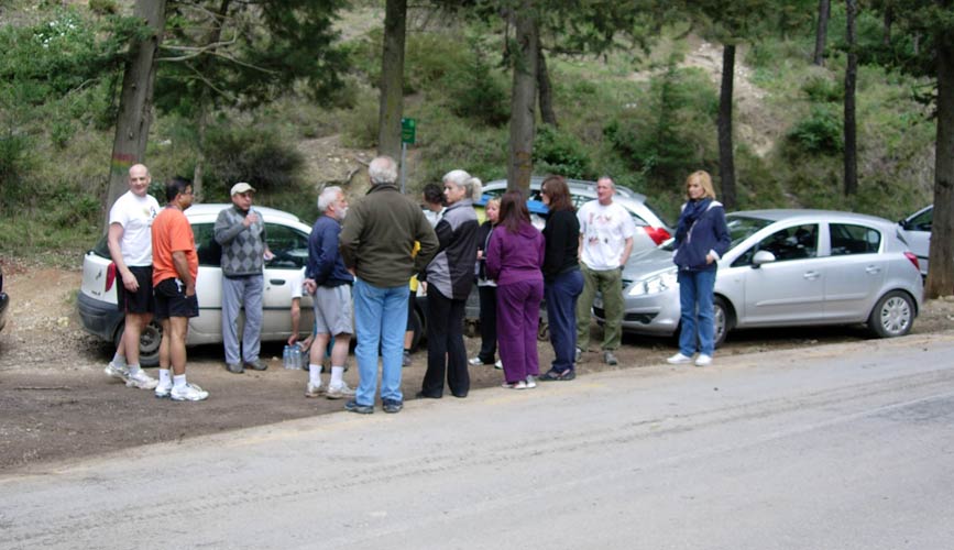
The starting point
& circle (P): 38° 9'48.83"N, 23°47'22.30"E
Altitude: 545 metres above sea level
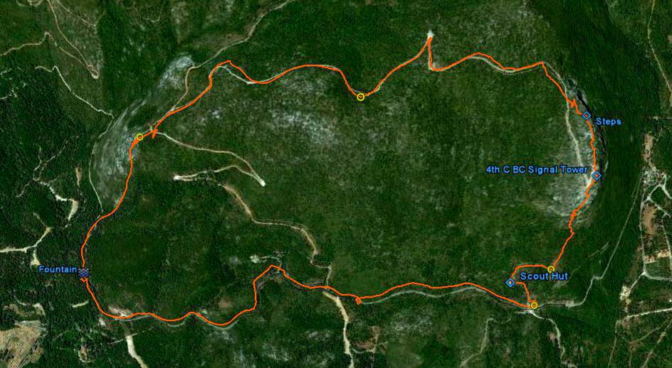
Trail cartographic Length = 8.6 km
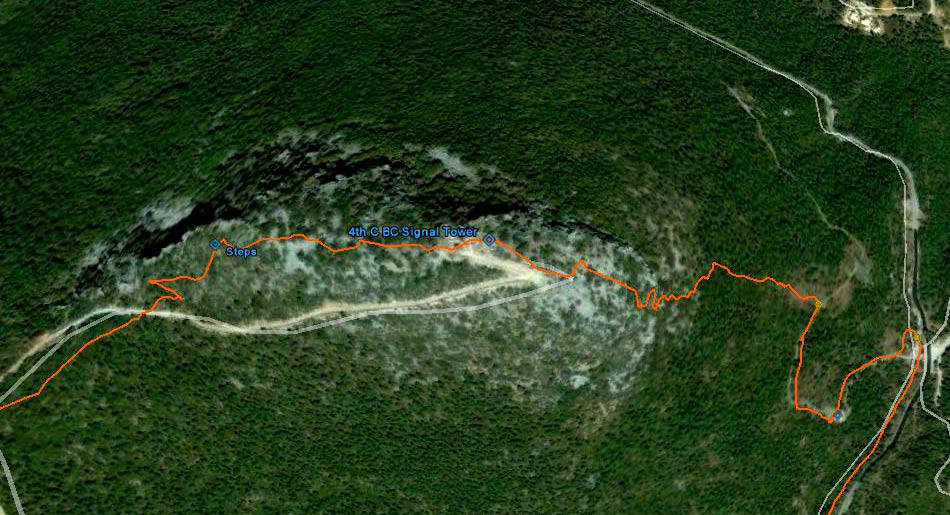
The trail from 4.8km up. North is to the right. The trail progressed clockwise up to the peak shown on the right.
The section from the Fountain to the first check (yellow circle) is estimated as no satellite signals were received in this section.
The parking and circle were at the Fountain area shown on the left
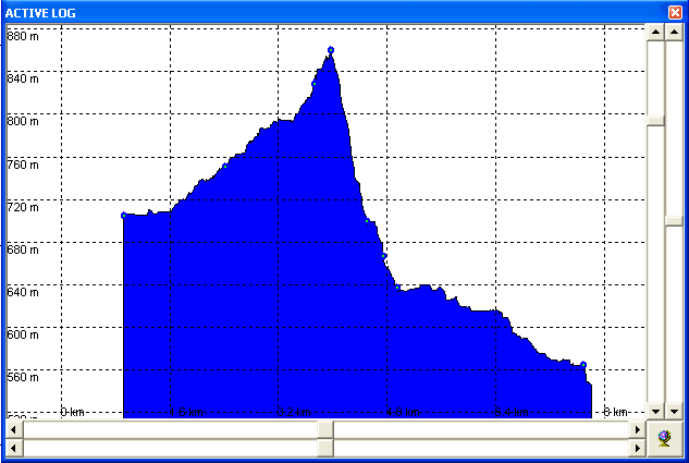
Altitude profile of the run. The vertical range was from 545m to 825m i.e. 280m
The first 0.9 km was not recorded due to lack of satellite signal.
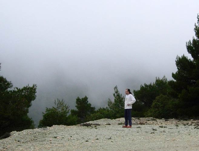
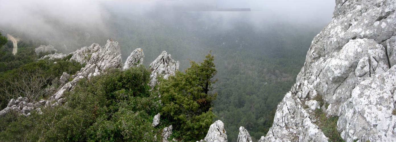
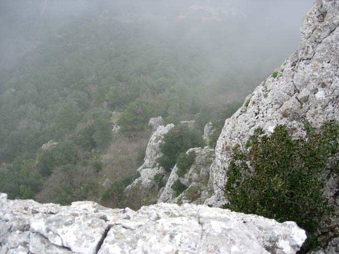
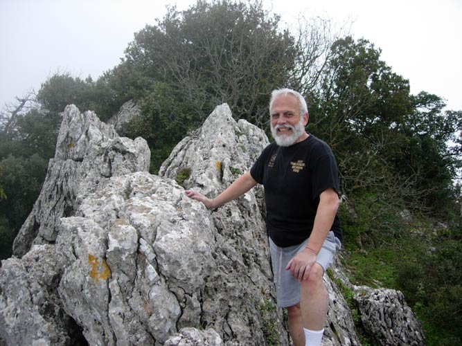
The peak - from 3.2km up
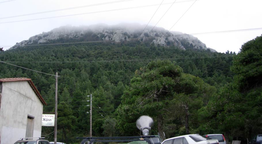
View of the Peak as seen later from the taverna
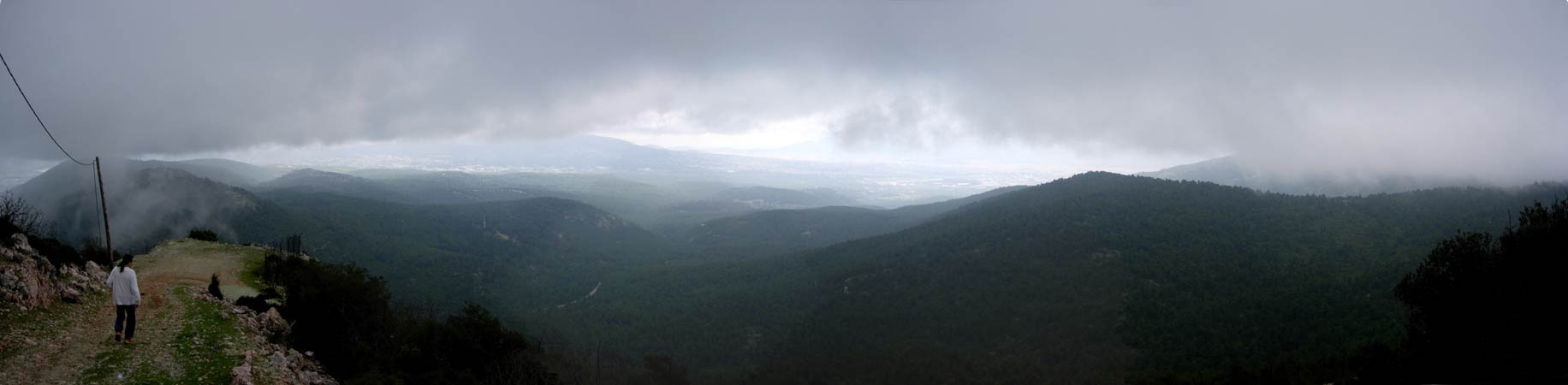
The trail from 15km up. North is Up.
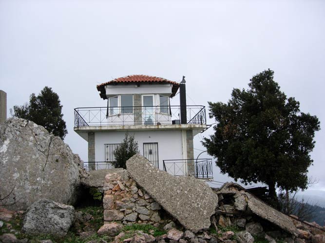
The 4th Century BC signal tower on the peak had a view of both the sea at Marathon (enemy ships) and of Athens (to warn the city)
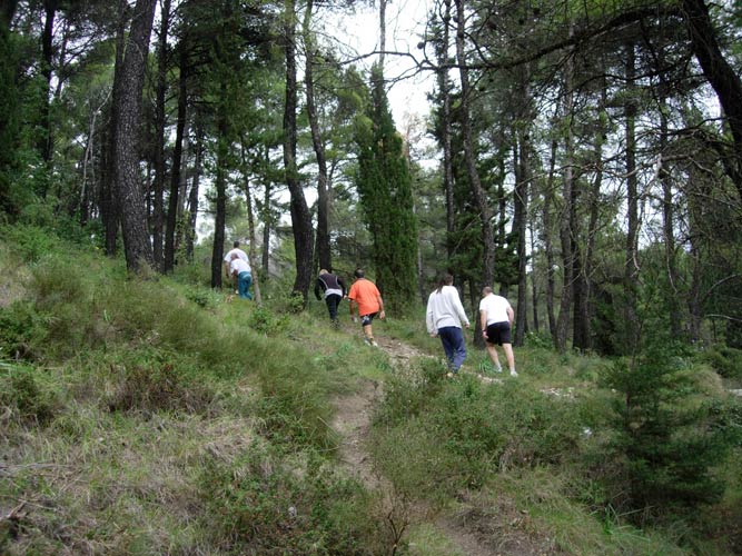
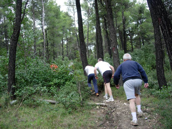
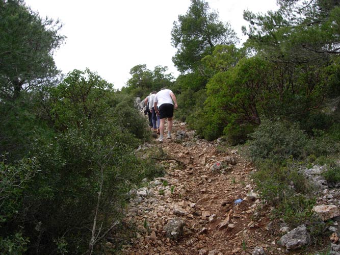
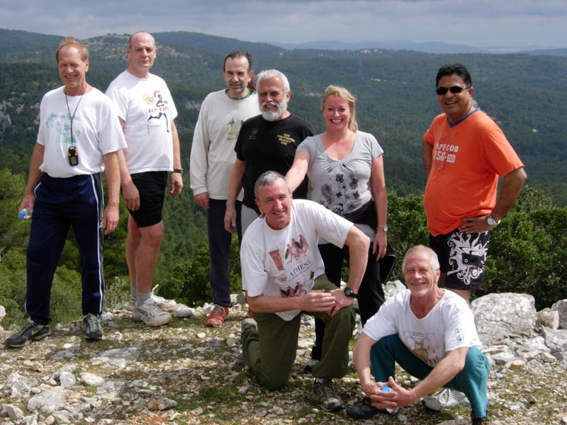
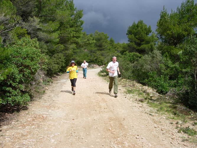
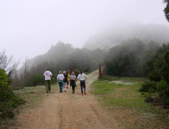
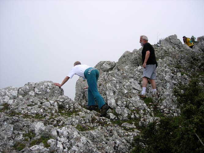
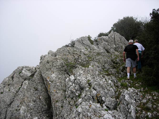
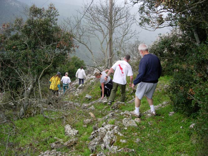
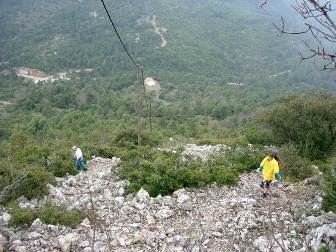
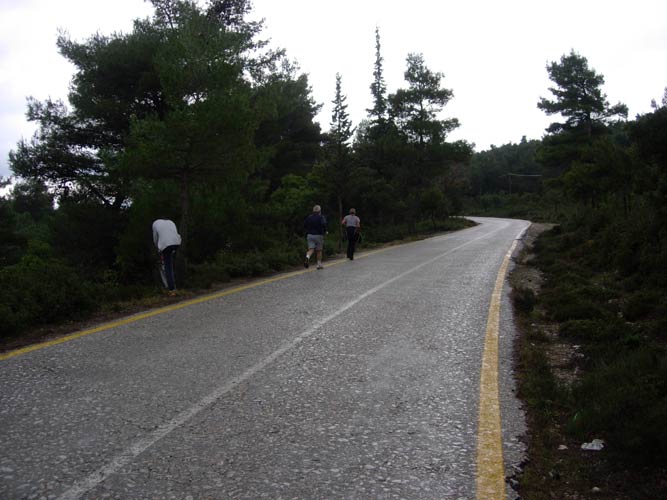
- T H E R U N -
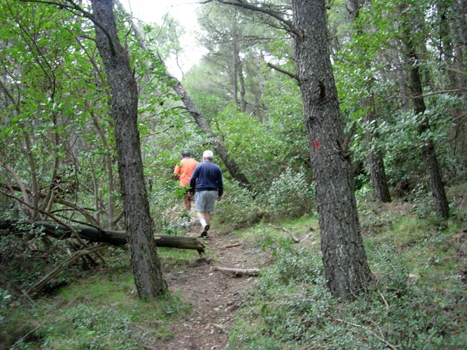

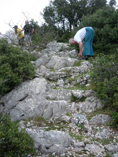
Ancient steps cut into the rock
Location: 38°11'3.69"N, 23°47'1.52"E
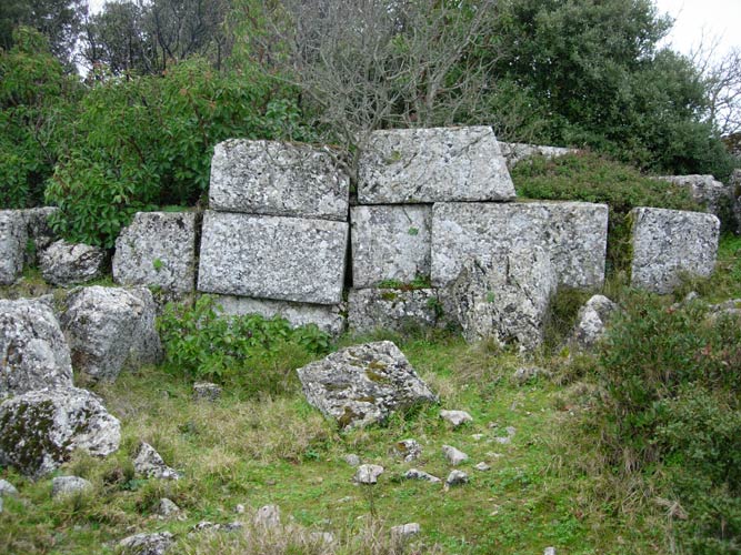
Remains of the 4th Century BC Signal Tower
Note the large precisely carved stone blocks.
Location: 38°11'3.52"N, 23°47'11.05"E
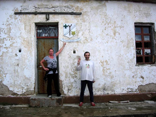
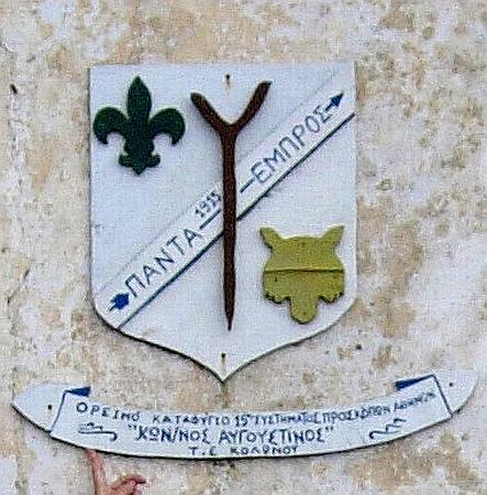
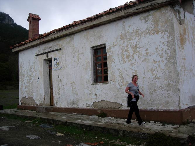
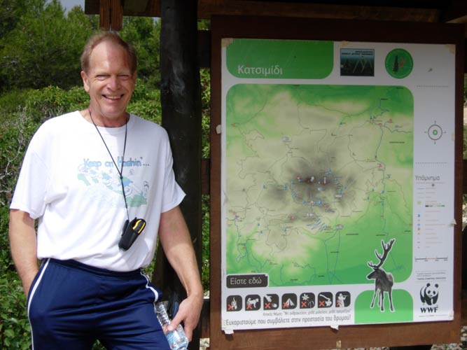
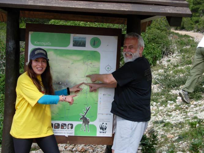
Scout Hut
Location: 38°10'55.62"N, 23°47'29.87"E
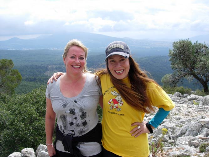
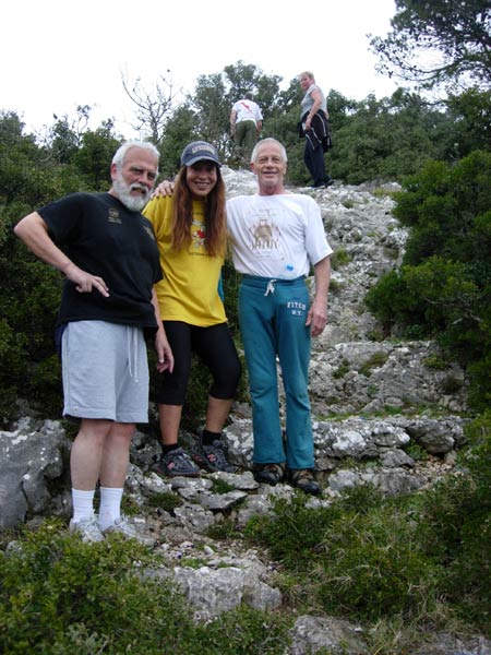
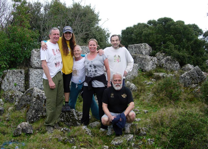
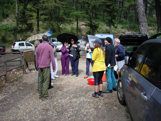
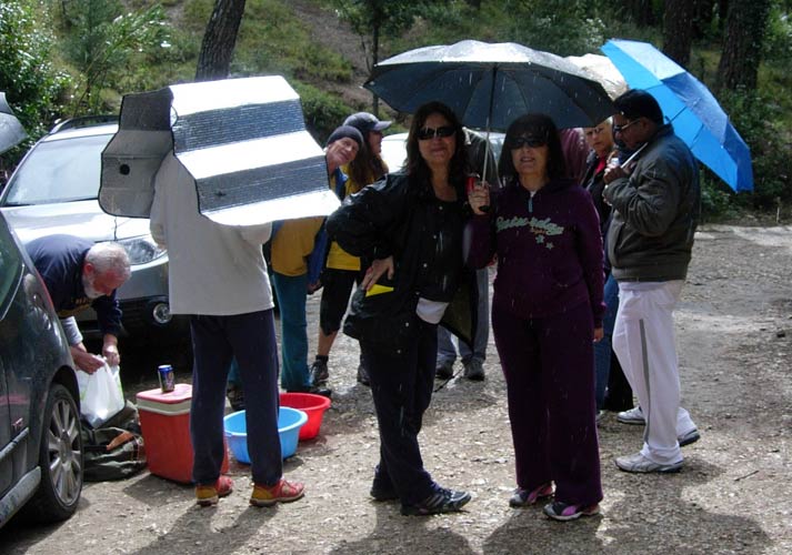
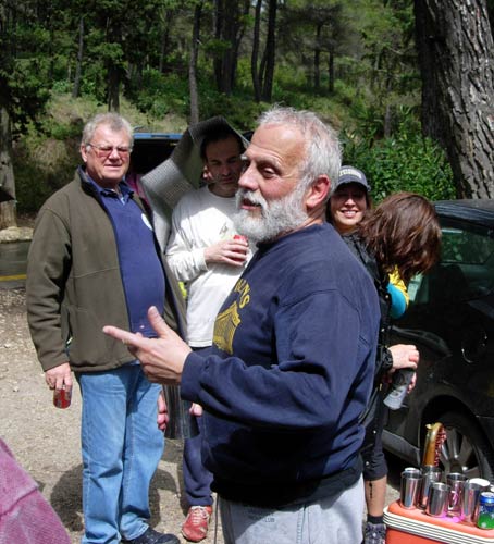
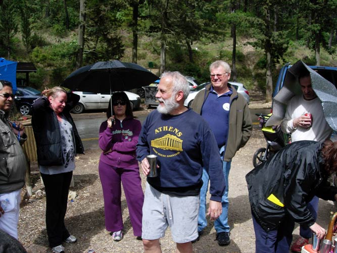
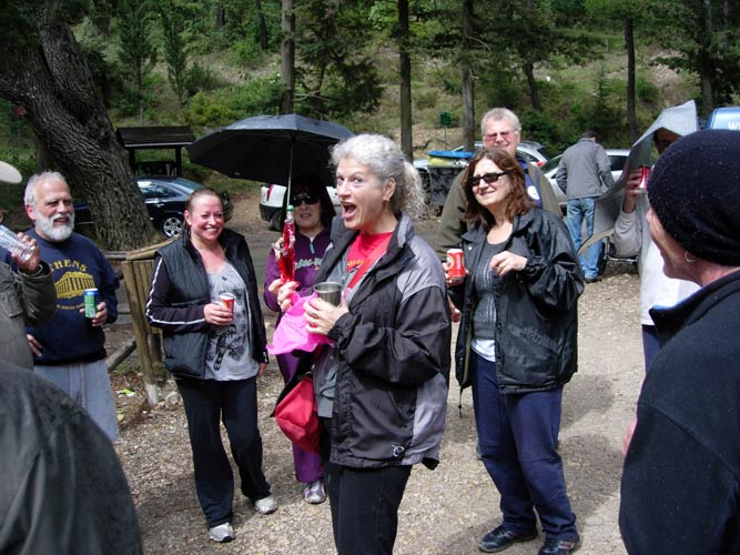
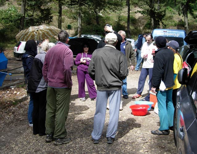
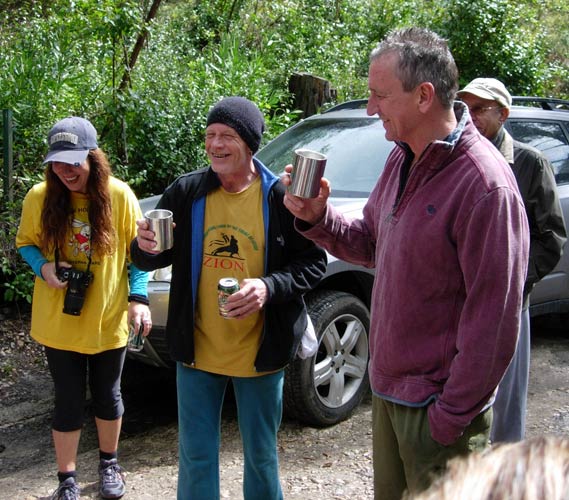
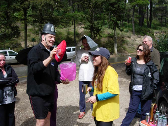
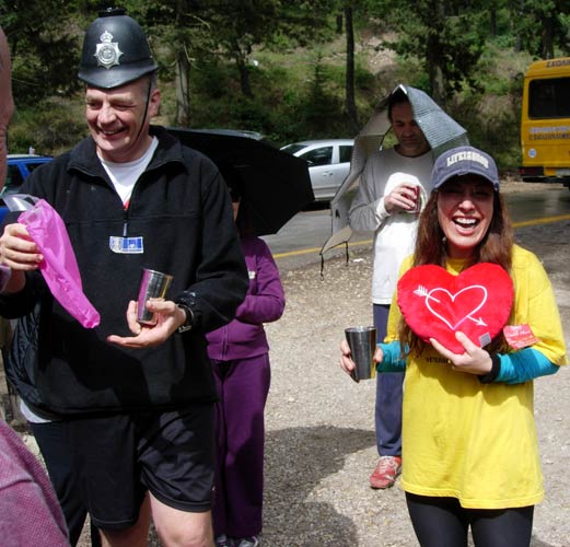
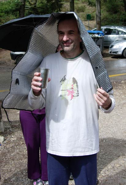
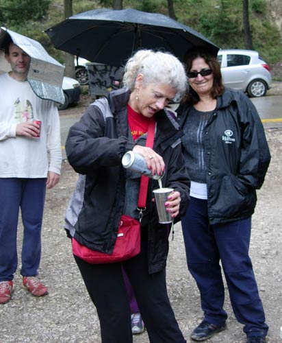
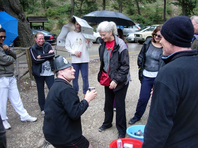
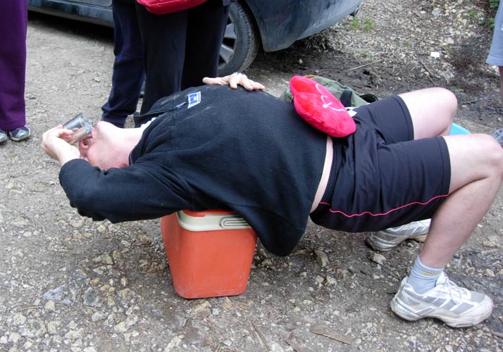
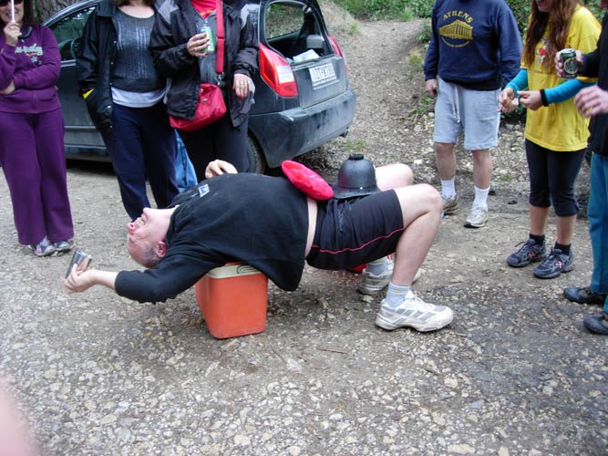
- T H E C I R C L E -

- T H E T A V E R N A -
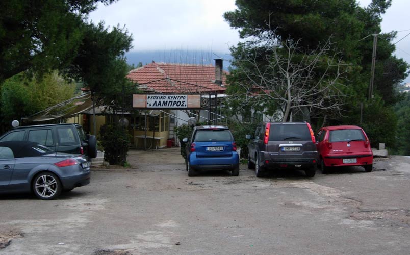
The Lambros Taverna - about 3.5 km further up the road -on the right (down past another Taverna)
Location: 38°11'21.62"N, 23°47'12.81"E
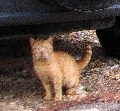
One of the Taverna cats

The Lambros Taverna business card
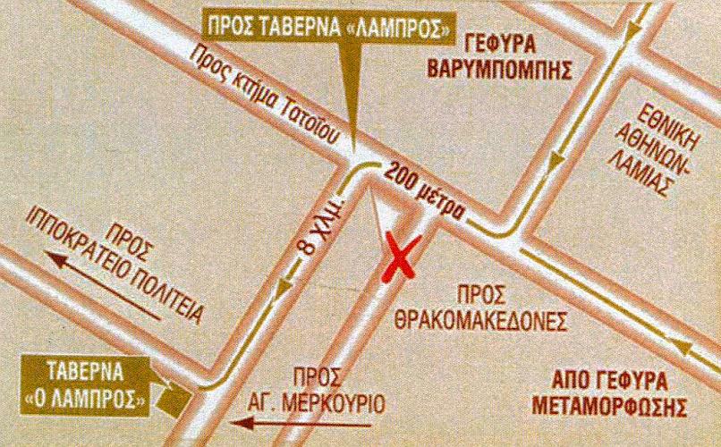
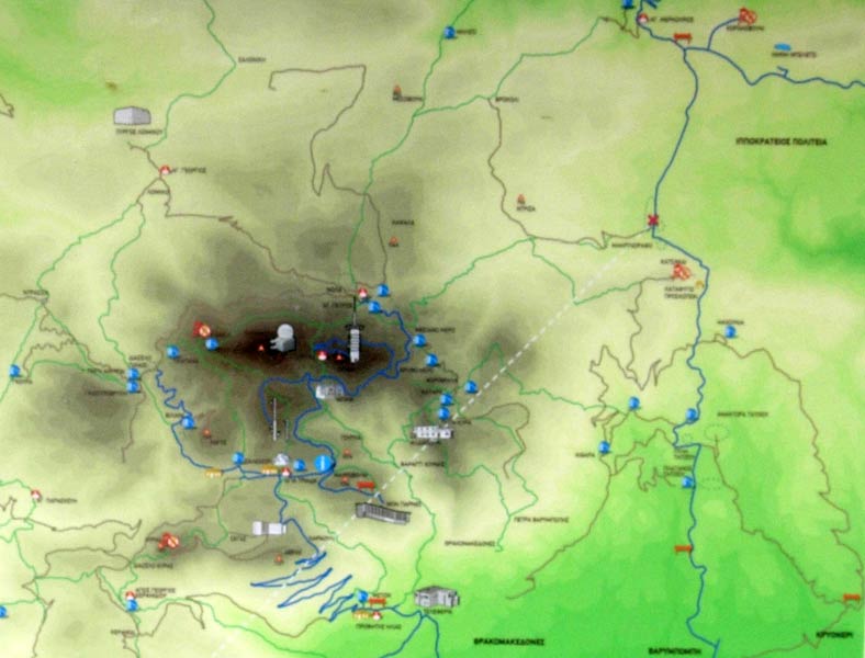
Map showing location of the Taverna (red X)
|
NOTES To
send the photo by e-mail as an attachment: MD Feb. 2006 |
Please use your "Back" Button (Top Left) to return to the previous page