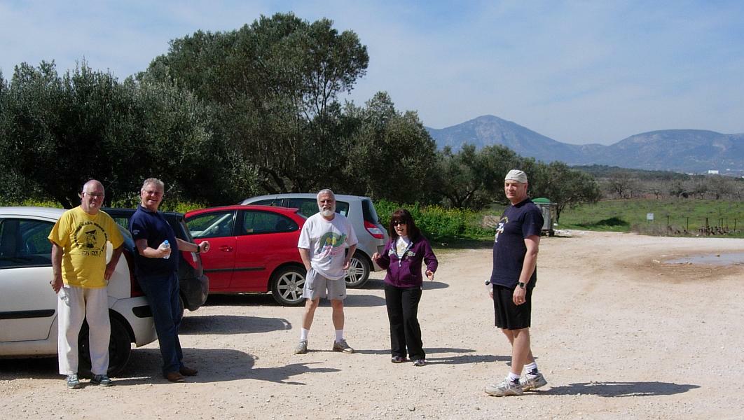
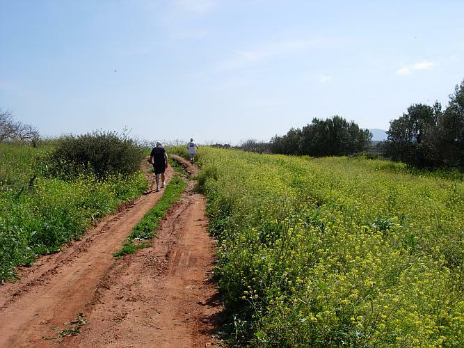
Run 1737 (Sunday 13th March 2011)
Hare: Fair Cop
Photographer: Mad Dog
NOTE1:
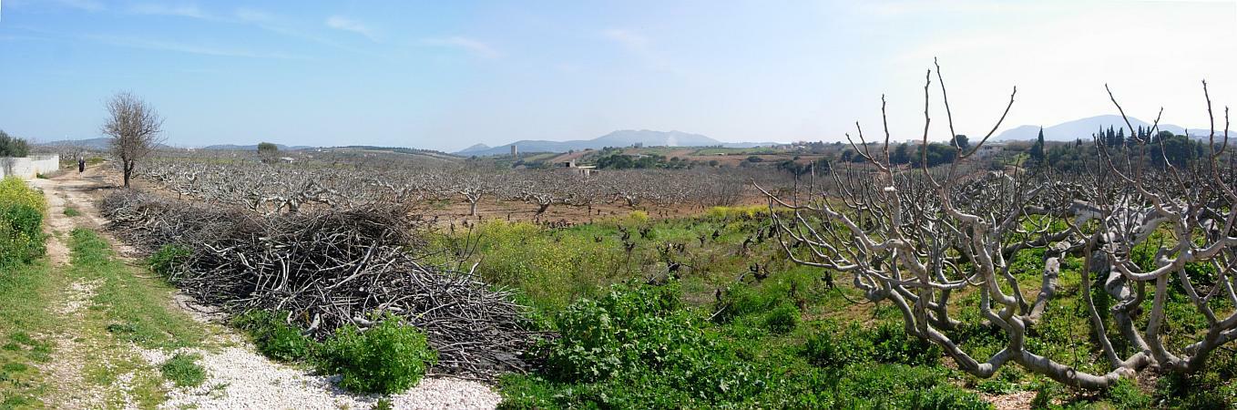
Use the horizontal scroll bar (bottom of screen) to view the panoramic photos.
NOTE2: The Lat. & Lon. coords can be copied and pasted into the Google Earth 'Fly-to' window.
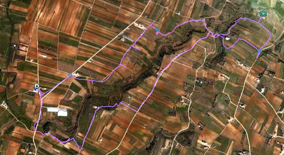
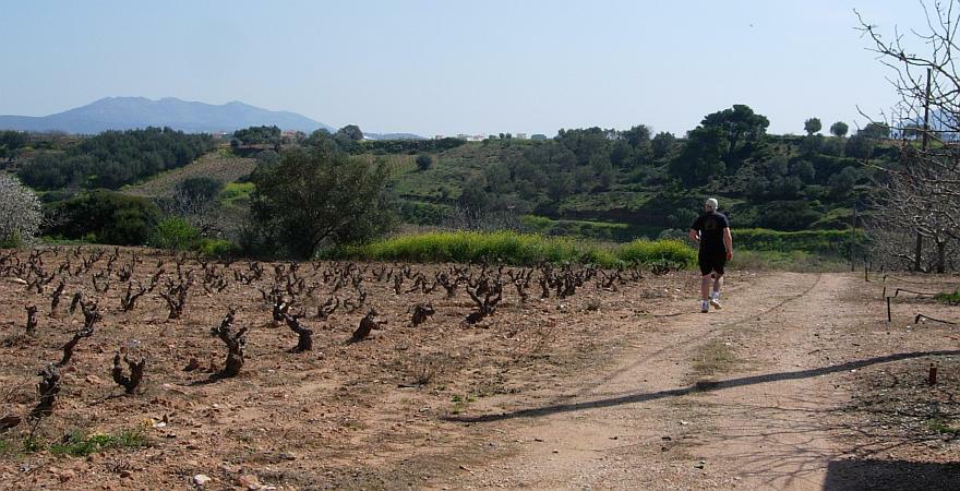
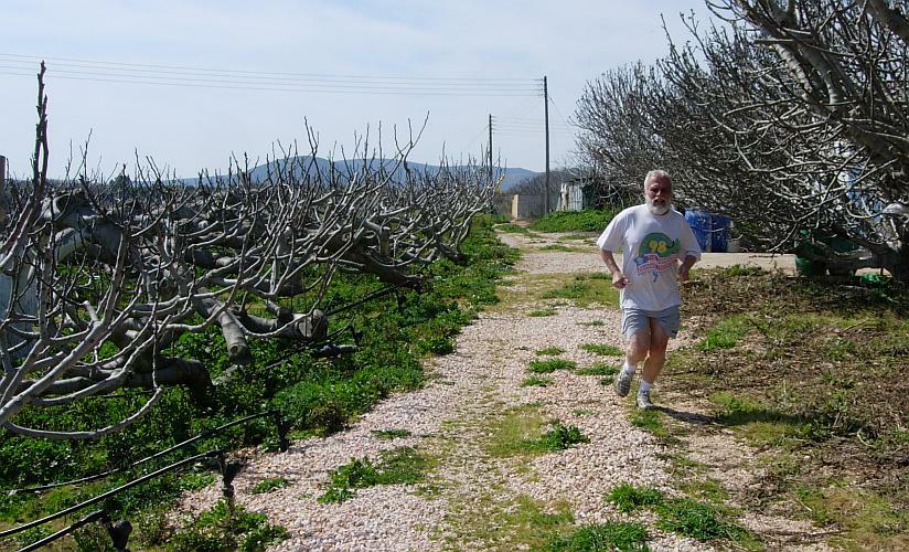
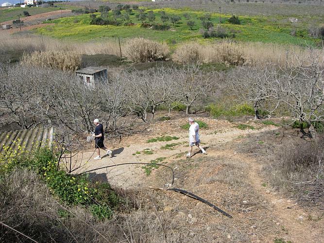
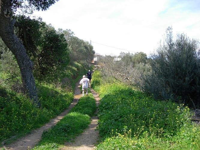
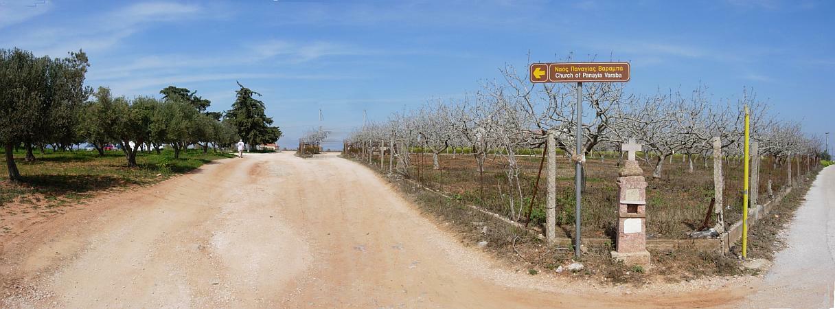
- T
H E T R A I L -
The starting point
& circle (P): 37°54'27.51"N, . 23°55'59.74"E
Altitude: 72 metres above sea level
Trail cartographic Length = 8.06 km
From 2.6 km up
From 13.1 km up
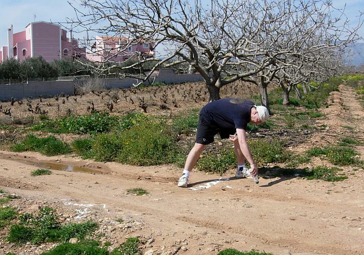
- T H E P R E R U N -
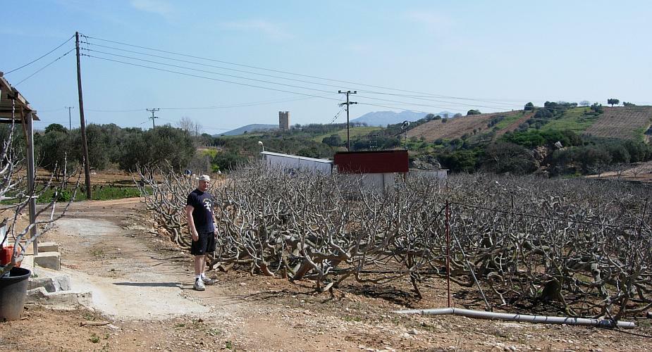
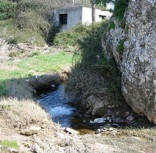
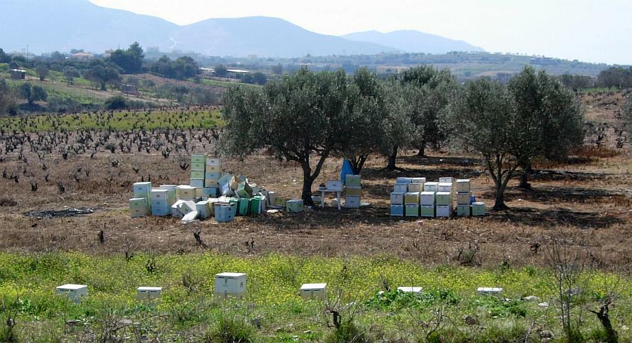
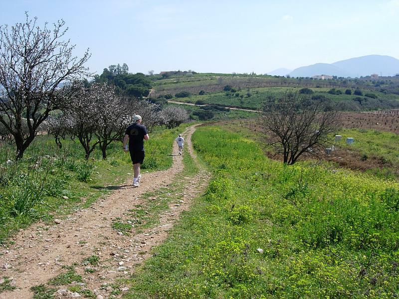
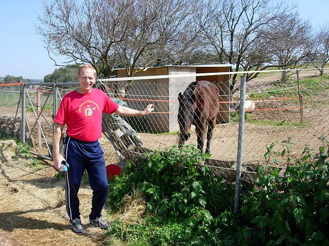
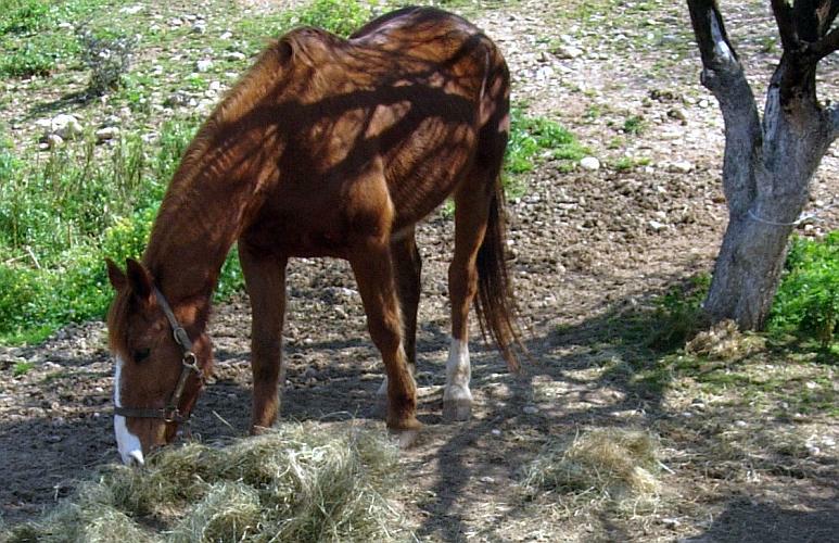
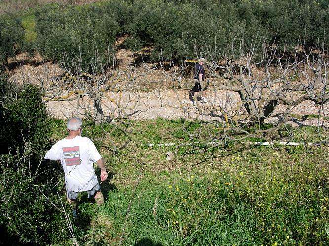
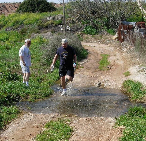
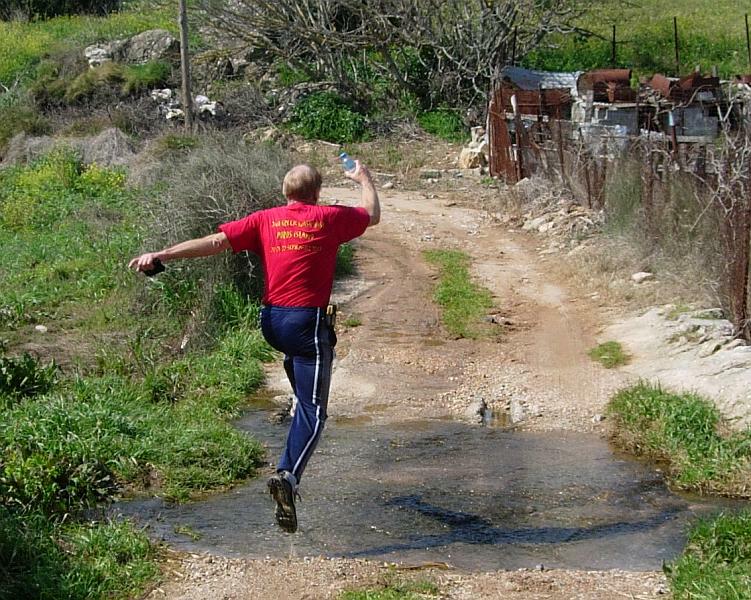
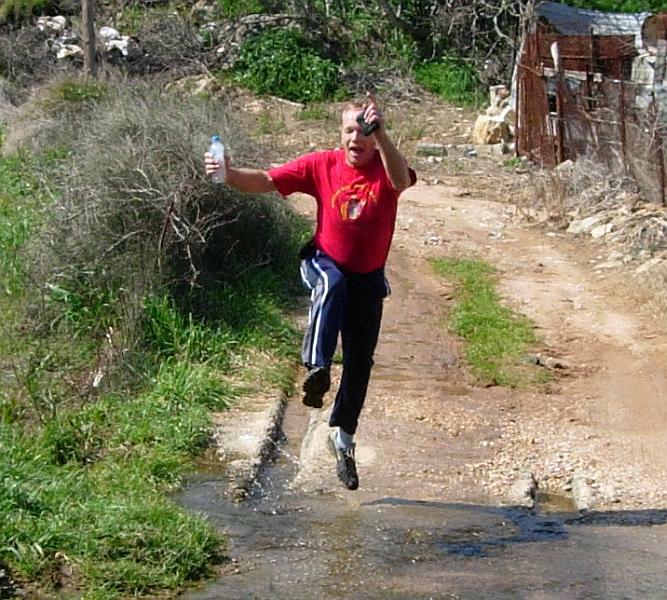
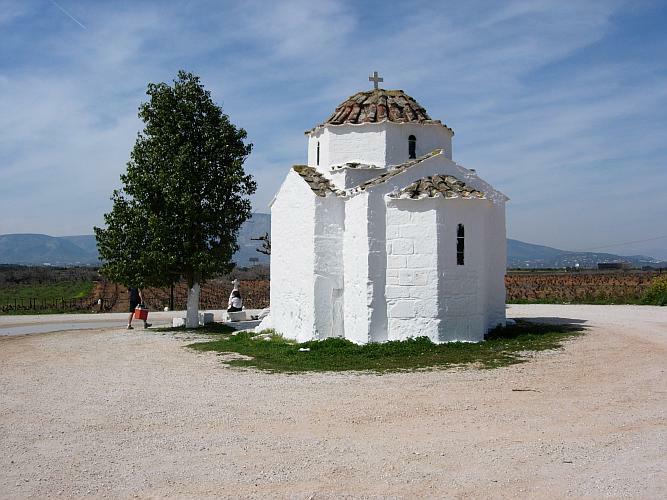
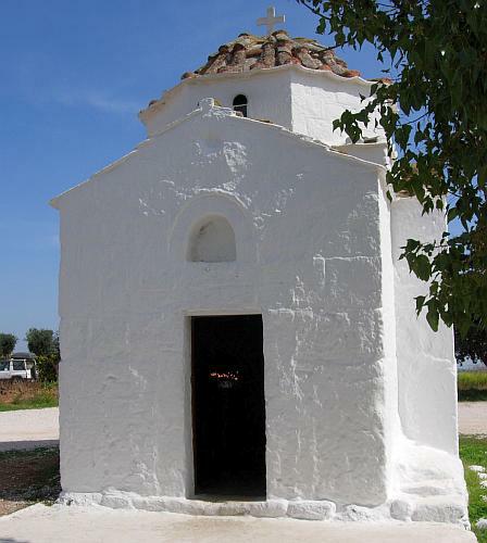
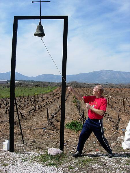
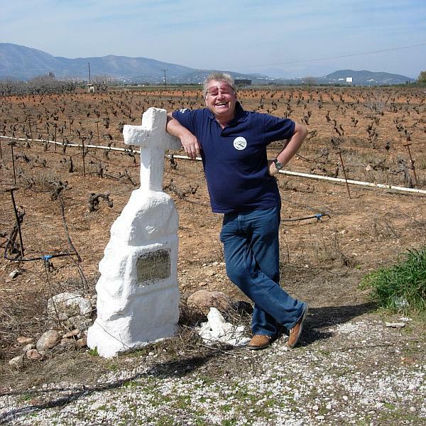
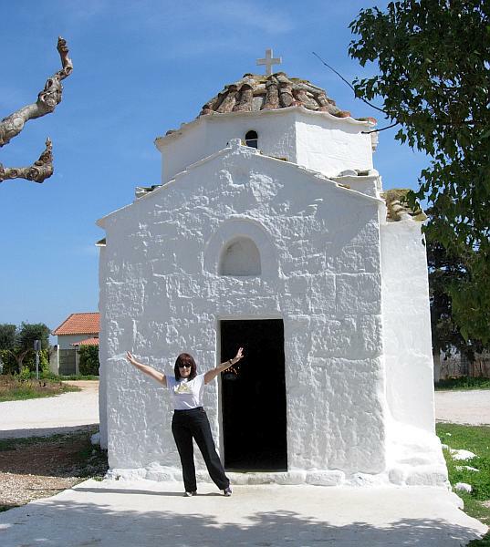
- T H E R U N -
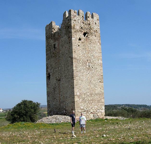
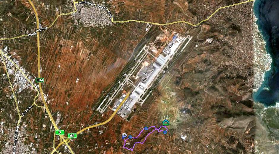
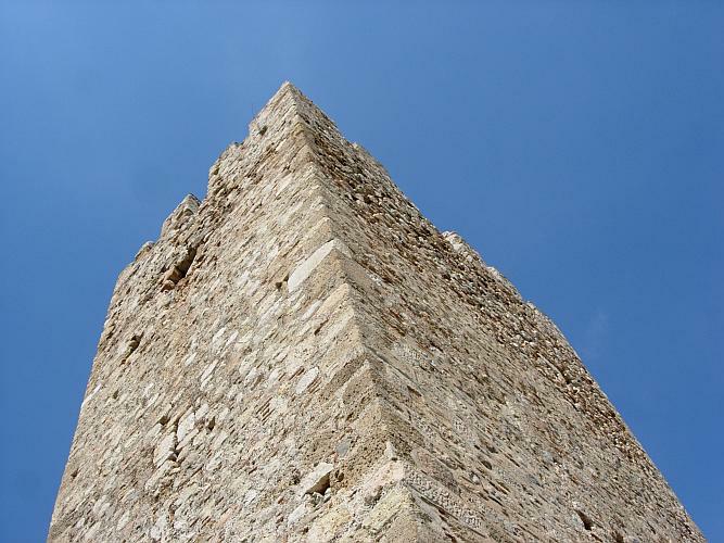
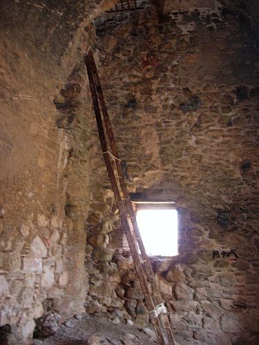
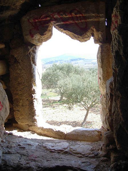
Venitian signalling tower
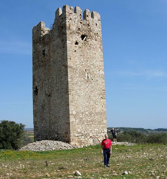
Location: 37°54'49.43"N, 23°57'24.63"E
Elevation: 48 m
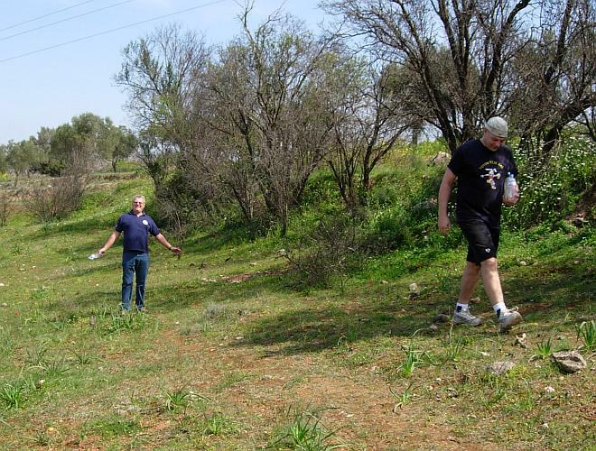
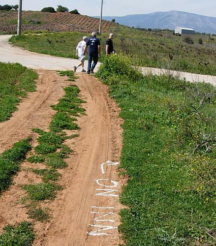
- T H E P O S T R U N -
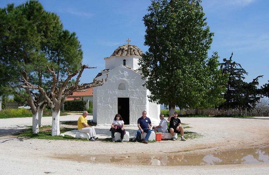
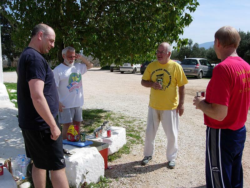
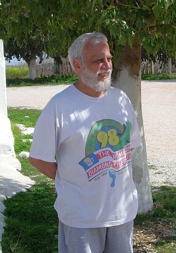
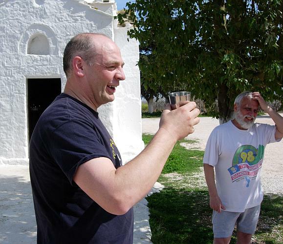
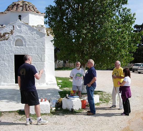
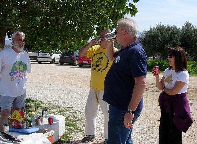
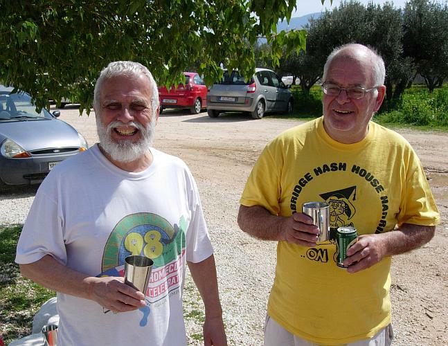
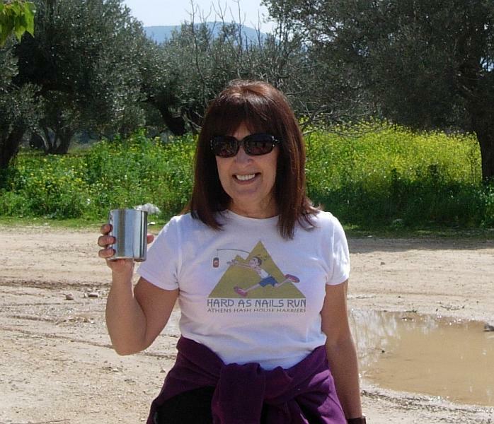
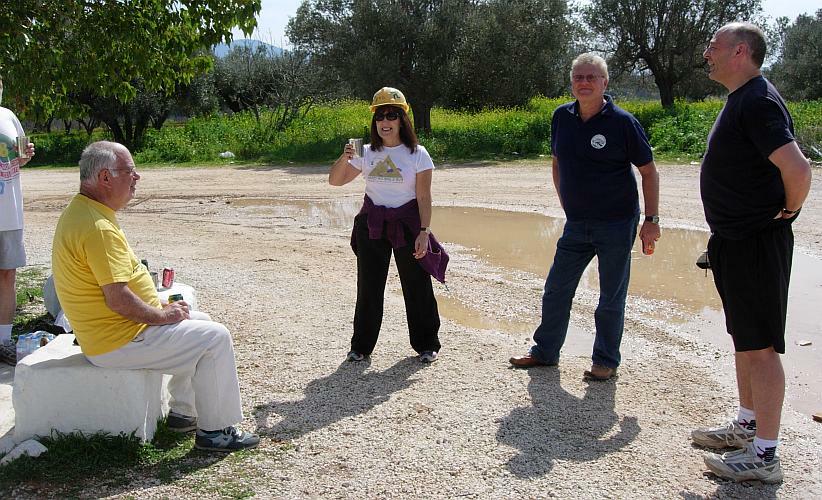
- T H E C I R C L E -
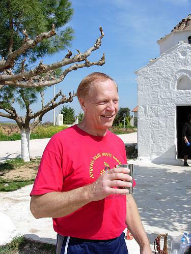
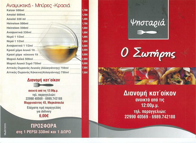
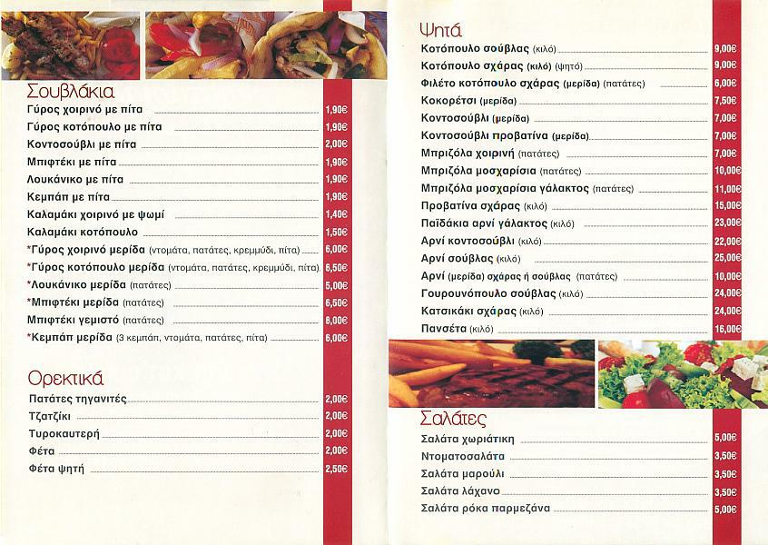
- T H E T A V E R N A -
Sotiris Taverna - Markopoulo
Delicious and moist kokoretsi, kondosouvli, chicken etc + wine & beer - for 11 euro each!!
(The portions of meat are generously large!)
|
NOTES To
send the photo by e-mail as an attachment: MD Feb. 2006 |
Please use your "Back" Button (Top Left) to return to the previous page