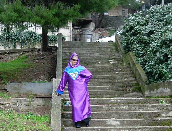
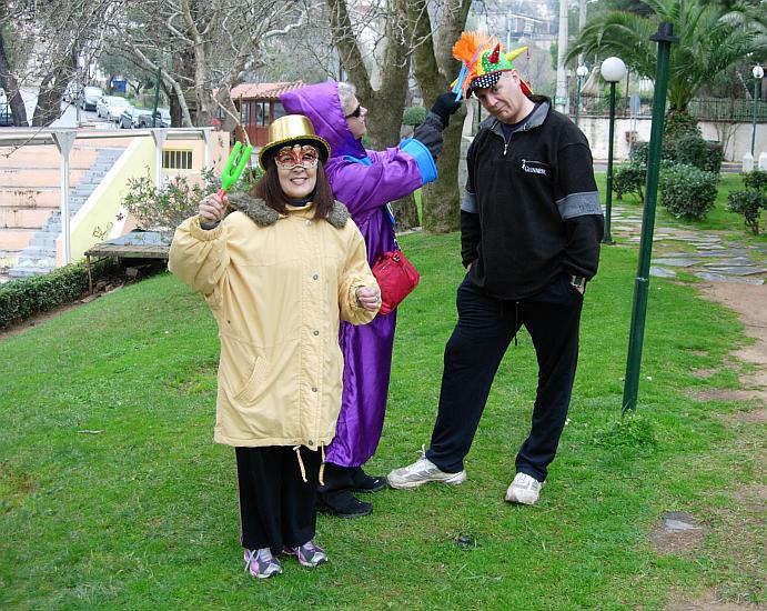
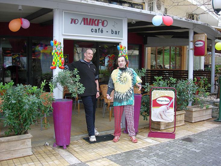
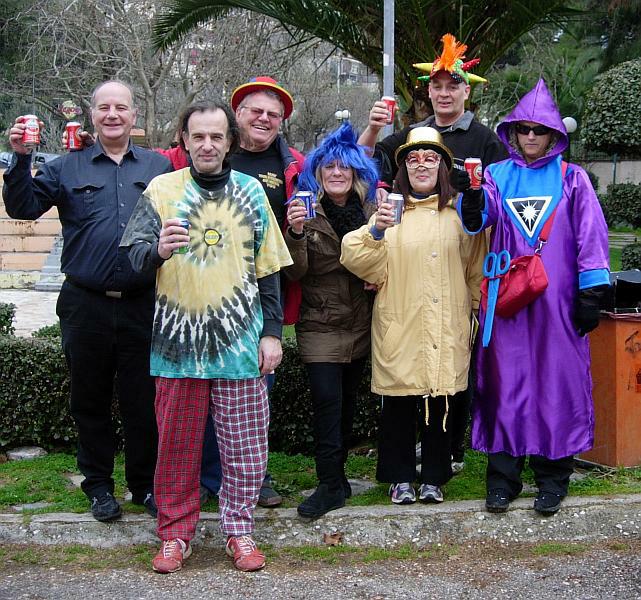
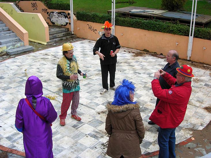
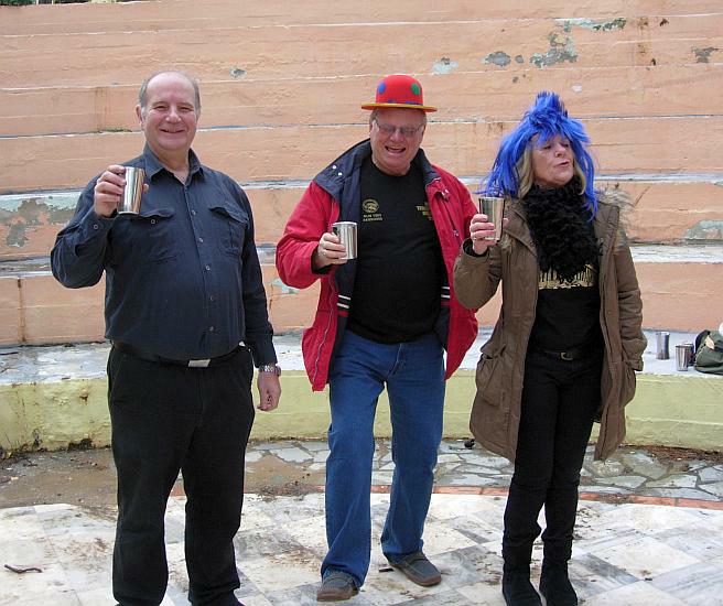
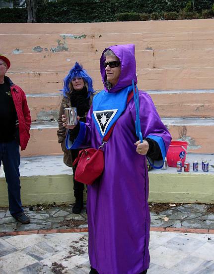
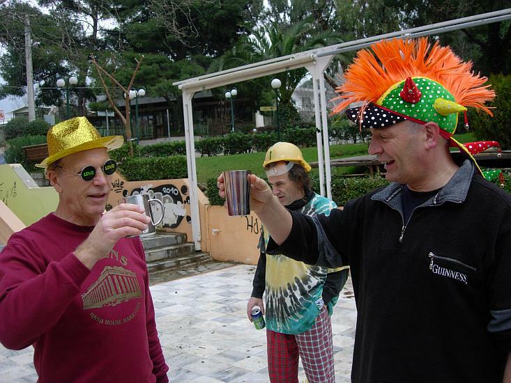
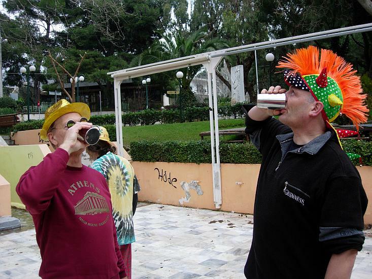
CARNIVAL HASH
This Sunday is the last day of Carnival and traditionally the biggest
day for
festivities before starting fasting for Lent on Clean Monday.
Run 1736 (Sunday 6th March 2011)
Hare: Mad Dog
Photographer: Mad Dog
NOTE1:
Use the horizontal scroll bar (bottom of screen) to view the panoramic photos.
NOTE2: The Lat. & Lon. coords can be copied and pasted into the Google Earth 'Fly-to' window.
- T
H E T R A I L -
The starting point
& circle (P): 38° 3'54.05"N, 23°50'31.47"E
Altitude: 356 metres above sea level
Trail cartographic Length = 6.9 km
NOTE: Captions still to come.
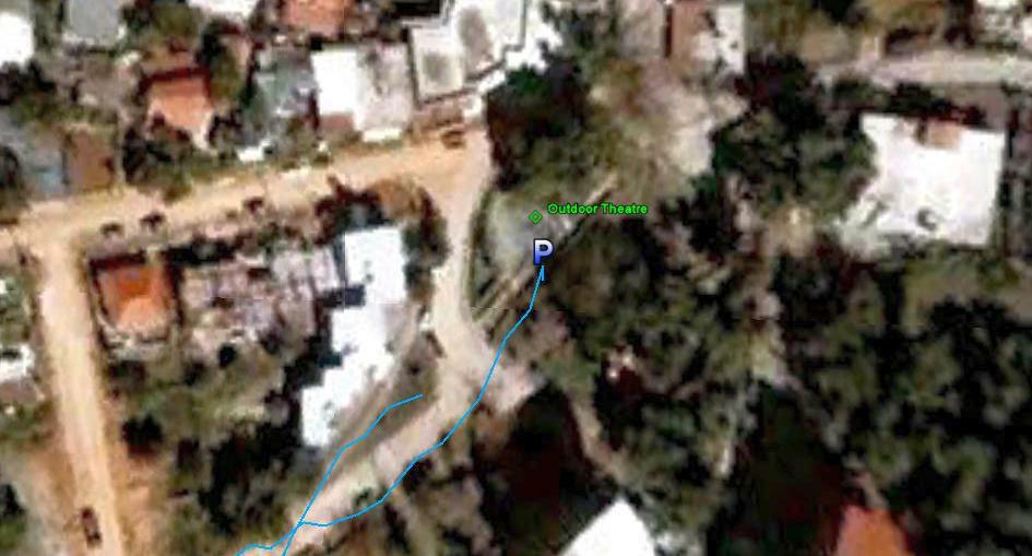
From 1.2 km up
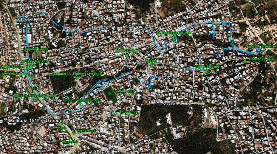
From 3.3km up. North is to the Right.
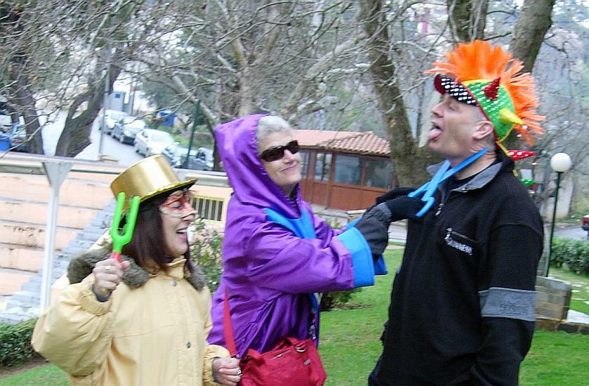
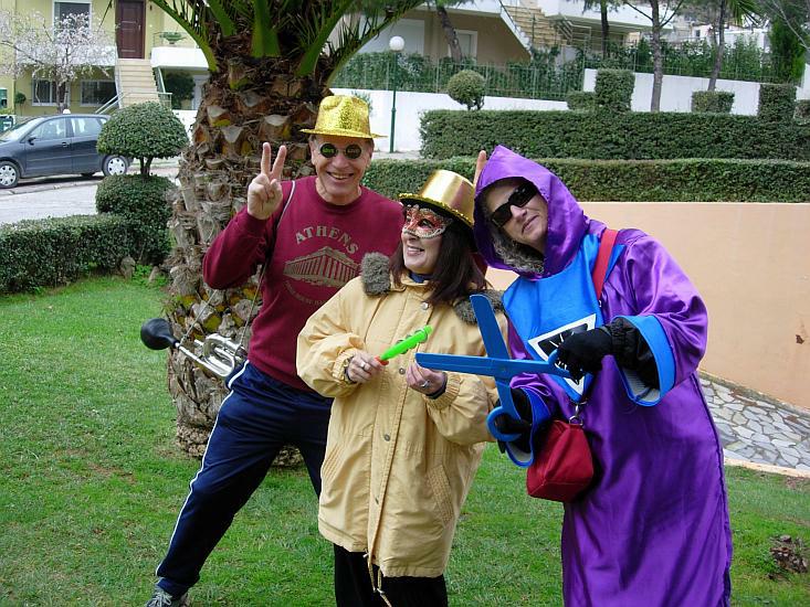
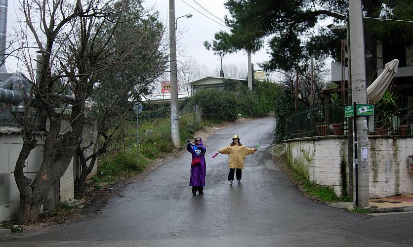
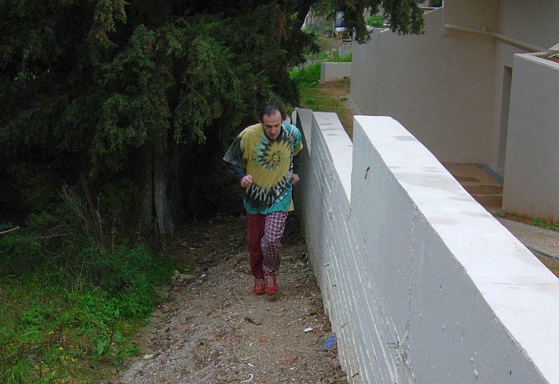
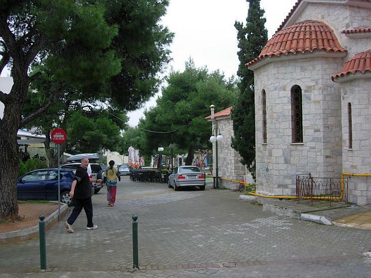
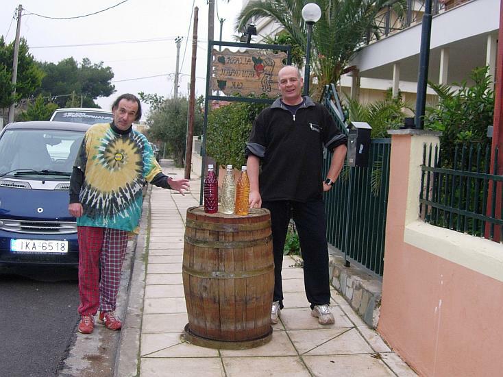
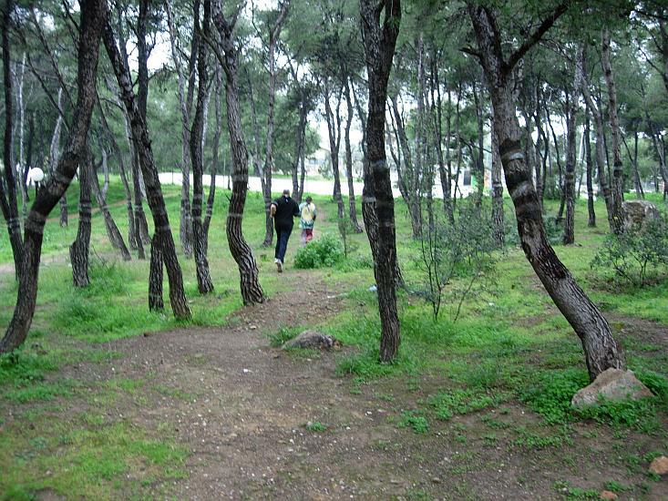
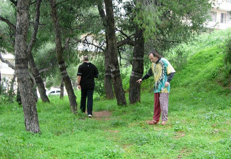
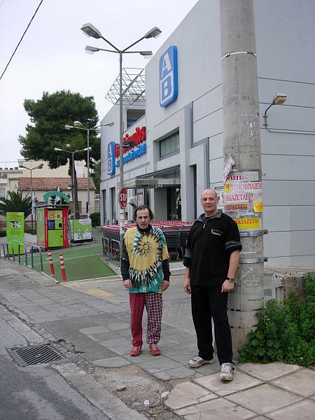
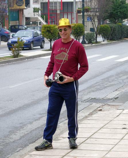
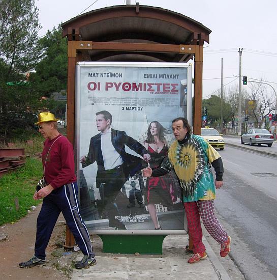
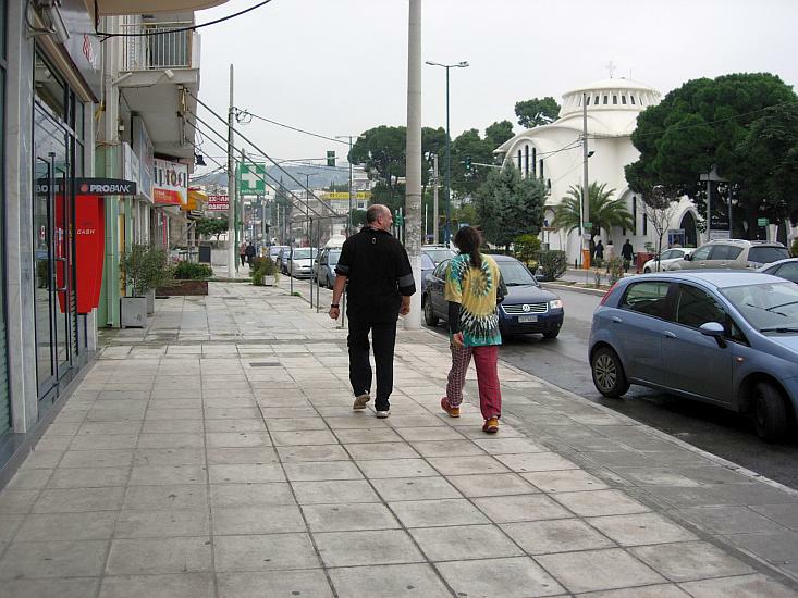
- T H E R U N -


- T H E T A V E R N A -
Wine & Pizza at Mad Dog & Doggie Style's Kennels
(Along with Clitoria's cheese cake)
|
NOTES To
send the photo by e-mail as an attachment: MD Feb. 2006 |
Please use your "Back" Button (Top Left) to return to the previous page