Run 1731 (Sunday 30th January 2011)
AUSTRALIA DAY HASH
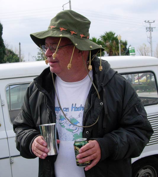
Hare: Hamish McTavish Esq.
Photographer: Mad Dog
NOTE: Use the horizontal scroll bar (bottom of screen) to view the panoramic photos.
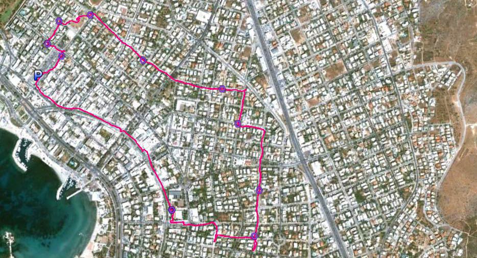
- T
H E T R A I L -
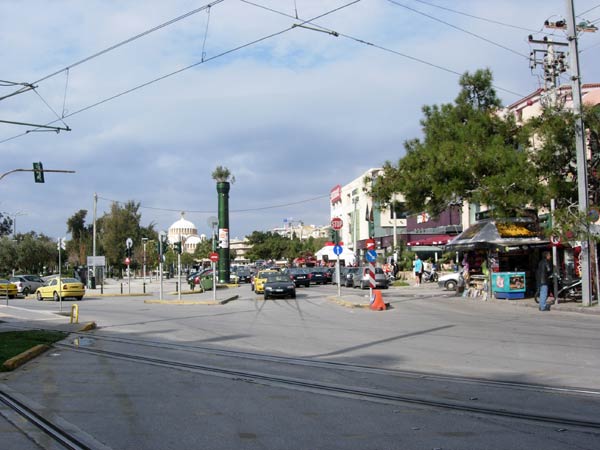
The starting point
& circle (P): 37°51'53.42"N, 23°44'49.12"E
Altitude: 8 metres above sea level
Trail cartographic Length = 5.1 km
The trail from 2.4 km altitude
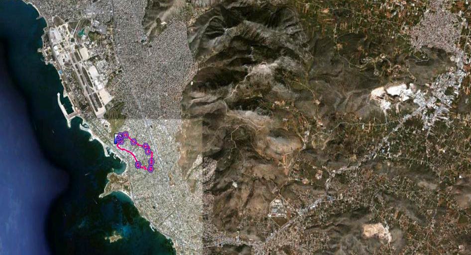
...and from 15 km altitude
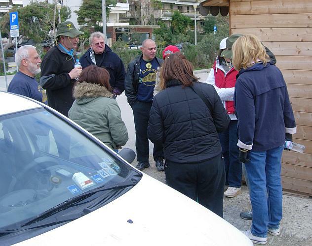
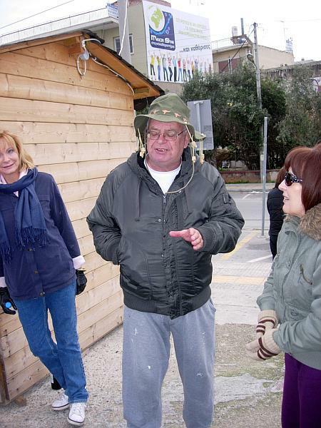
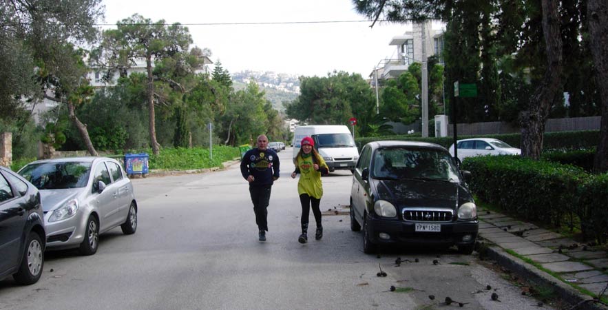
- T H E P R E - R U N -
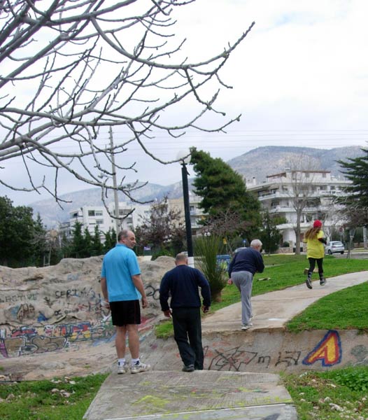
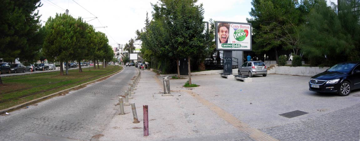
- T H E R U N -
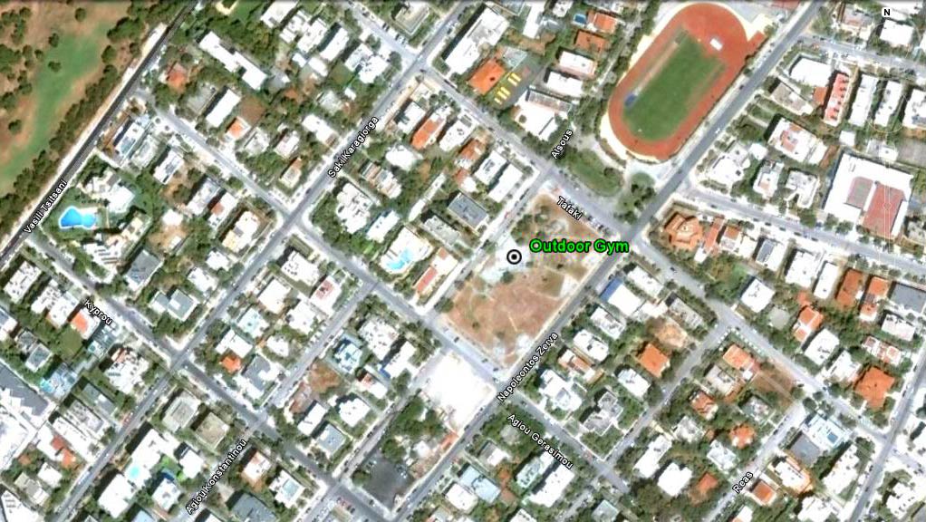
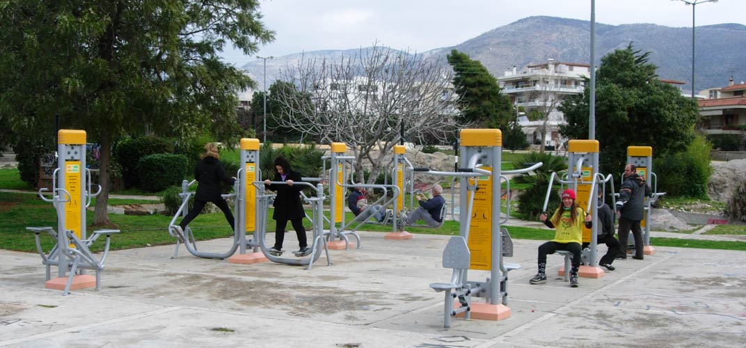
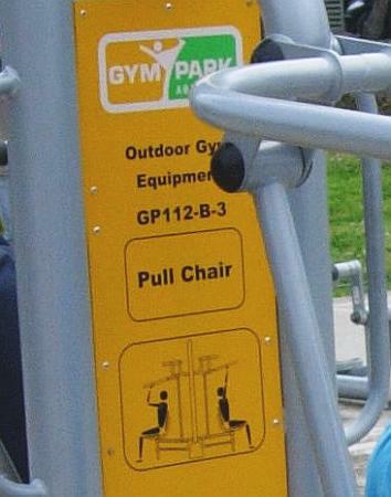
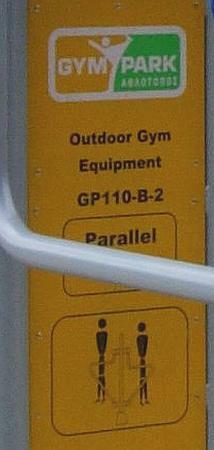
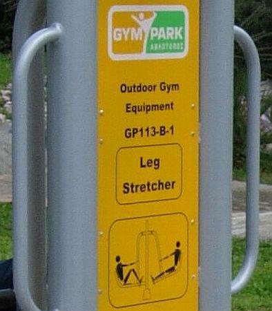
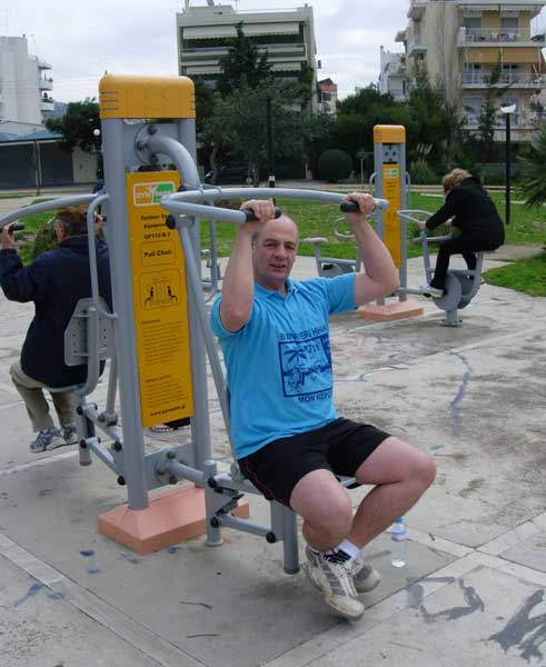
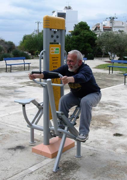
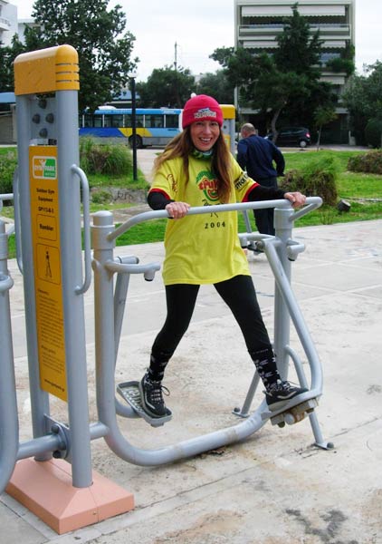
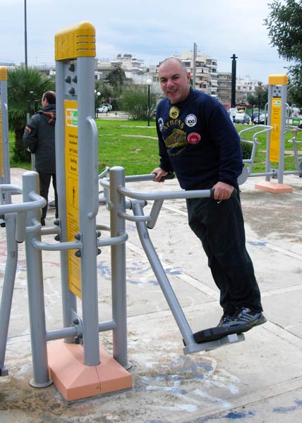
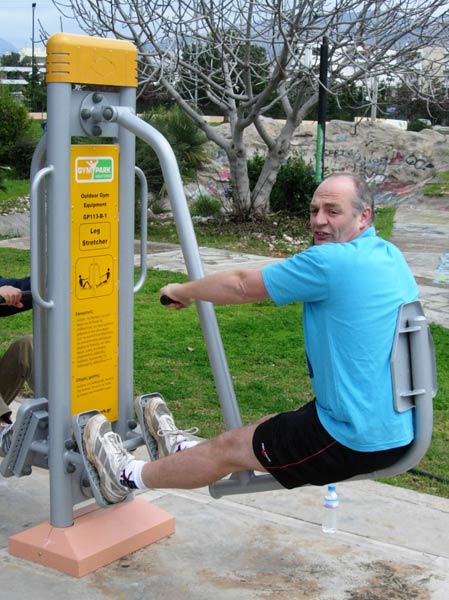
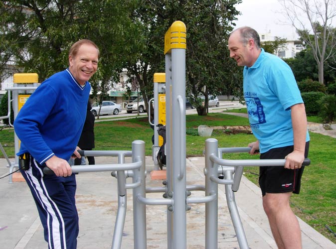
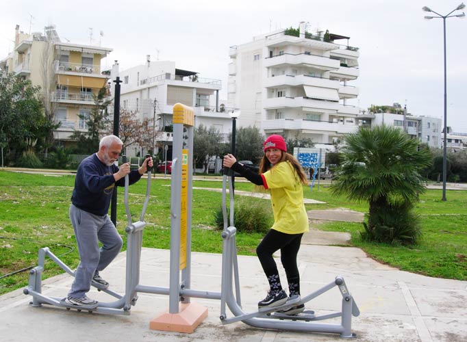
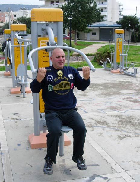
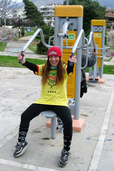
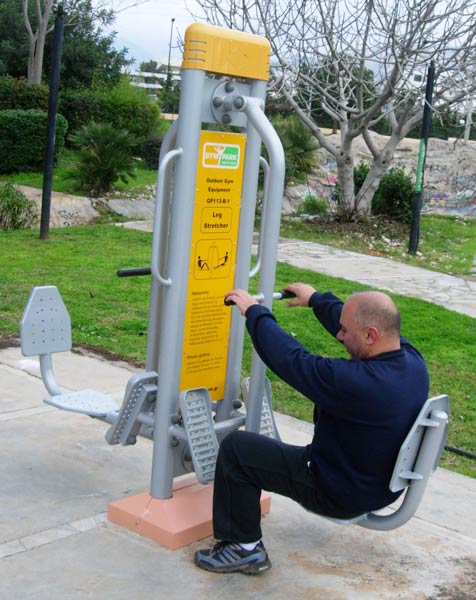
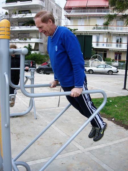
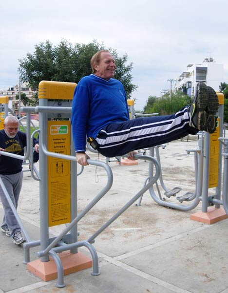
The outdoor Gym in Glyfada
Outdoor Gym Park location: 37°52'4.51"N, 23°44'58.22"E
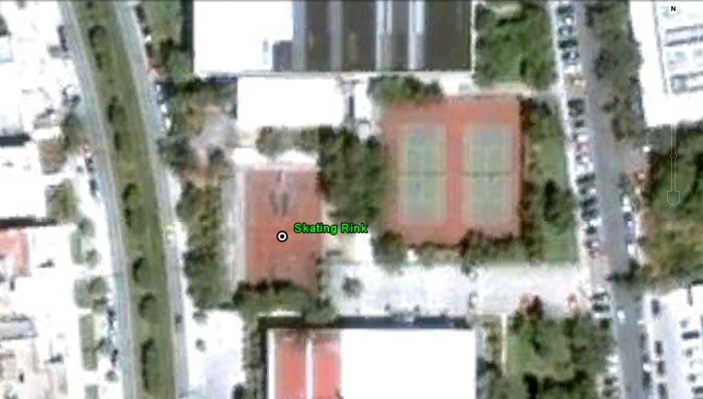
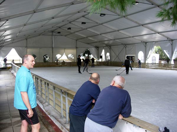
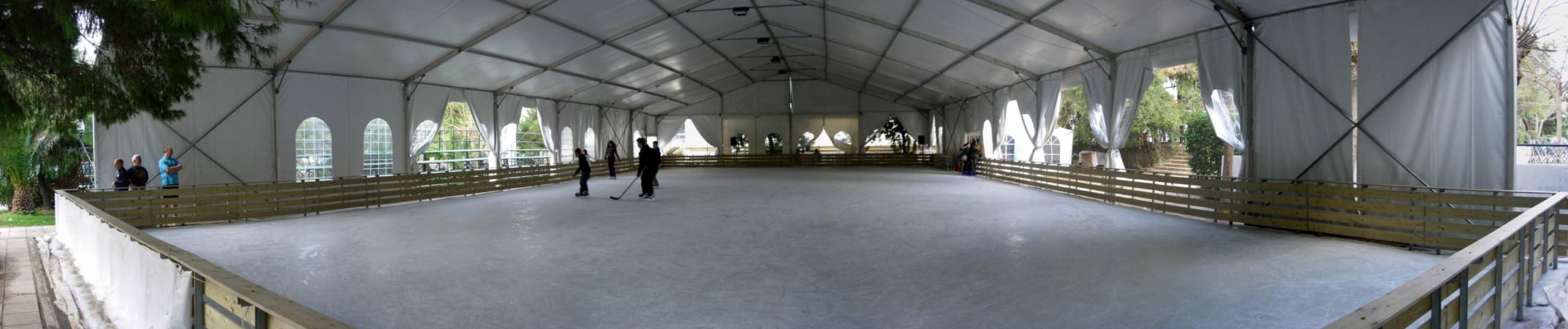
The skating Rink is located over a former tennis court
Skating Rink location: 37°51'31.88"N, 23°45'18.82"E
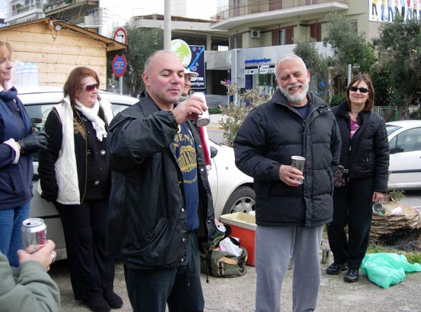
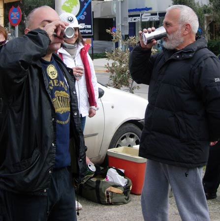
- T
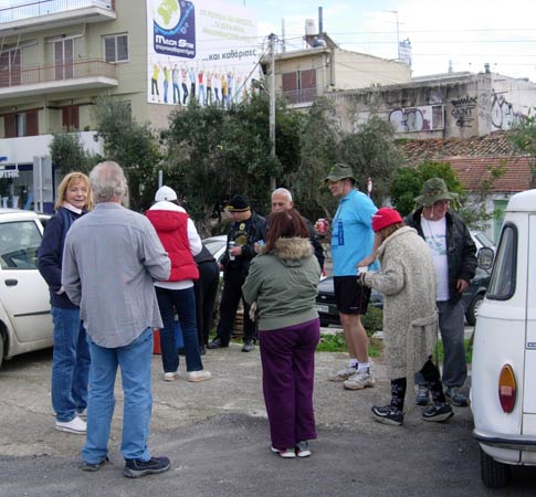
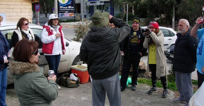
H E C I R C L E -
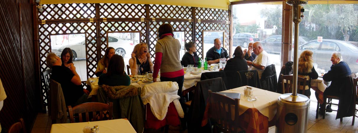
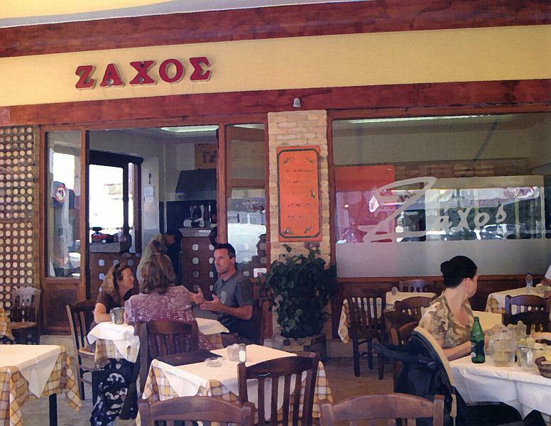
- T H E T A V E R N A -


|
NOTES To
send the photo by e-mail as an attachment: MD Feb. 2006 |
Please use your "Back" Button (Top Left) to return to the previous page