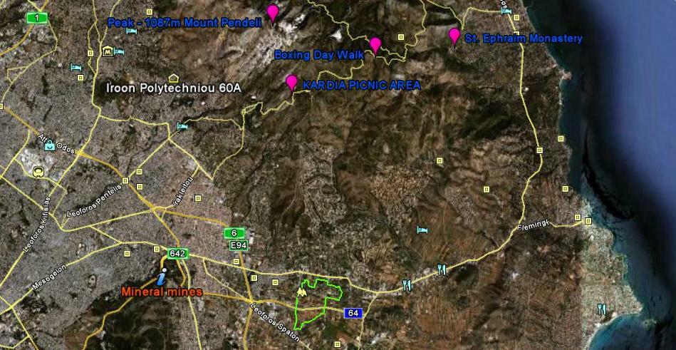
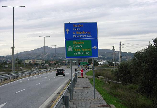
Pallini
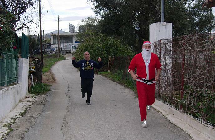
 Annual Mince Pie Run
Run
1725 (Sunday 19th December 2010)
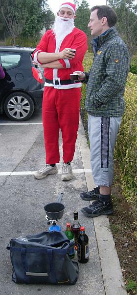
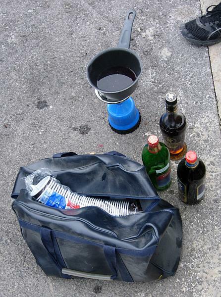
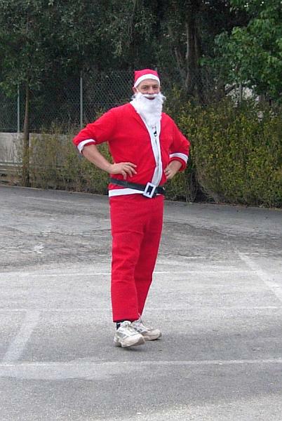
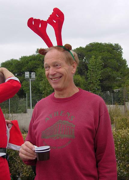
Hare: Fair Cop
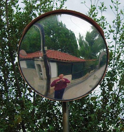
Photographer: Mad Dog
NOTE:
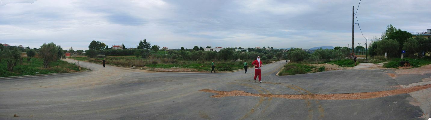
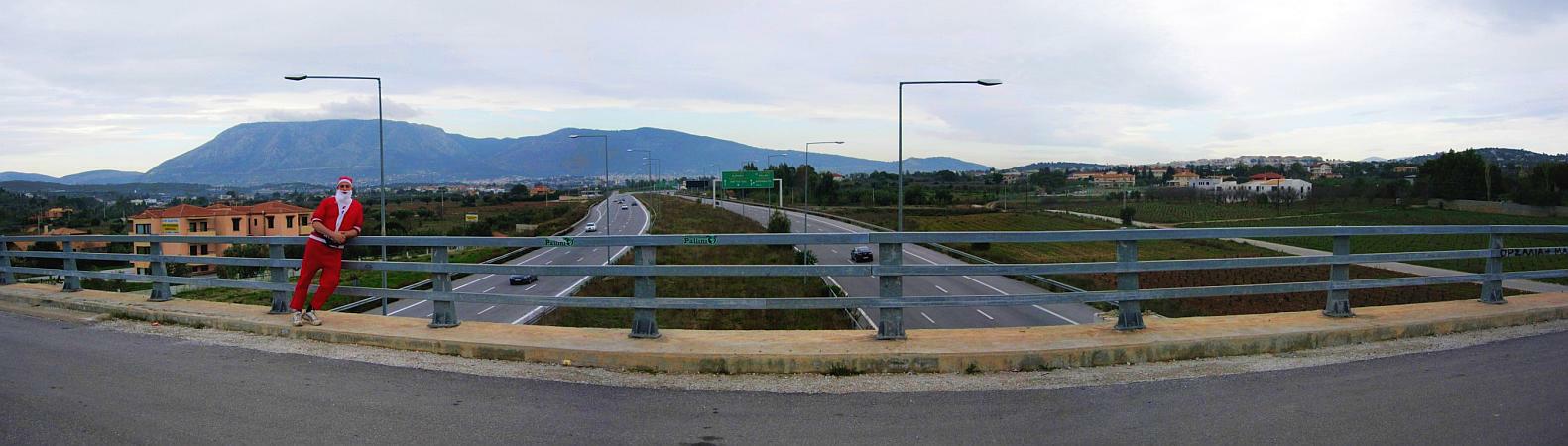
Use the horizontal scroll bar (bottom of screen) to view the panoramic photos.
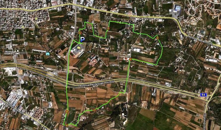
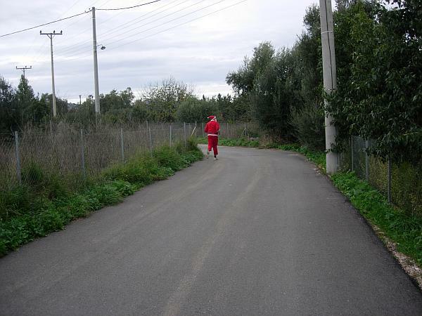
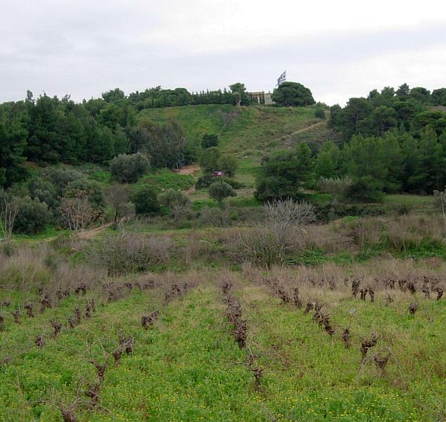
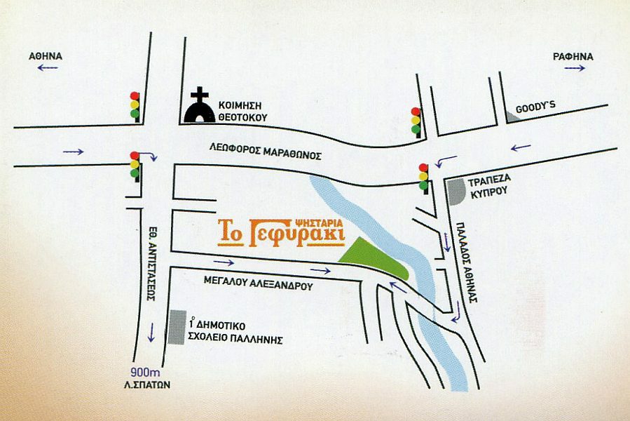
- T
H E T R A I L -
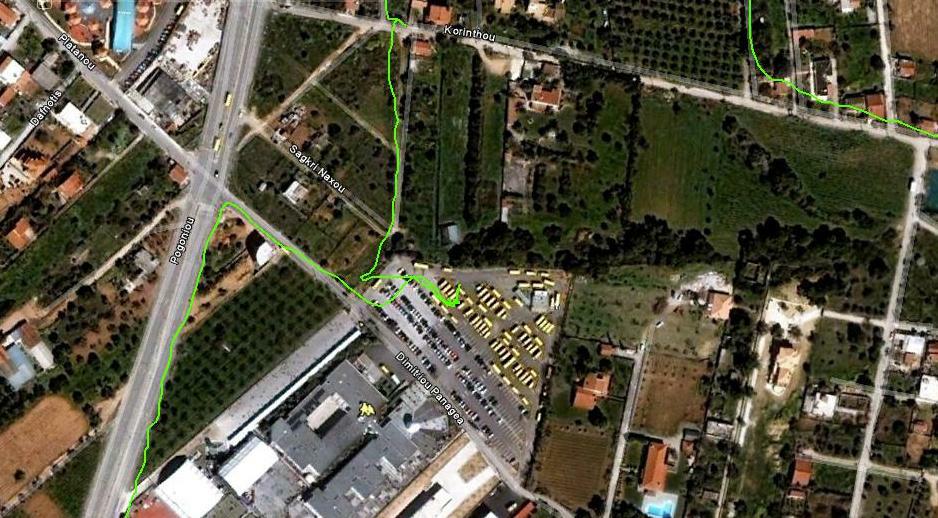
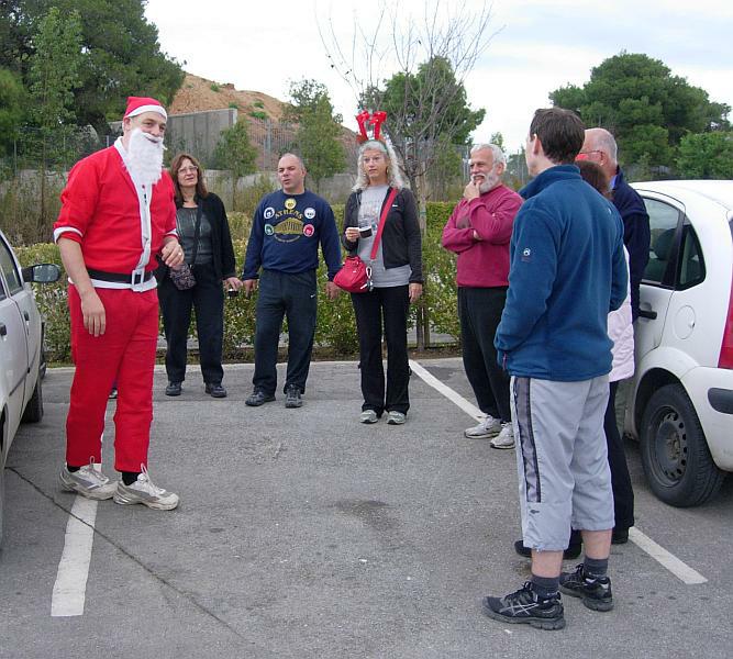
The starting point
& circle (P):
Location: 37°59'55.08"N, 23°53'37.17"E
Altitude: 160 metres above sea level
Trail cartographic Length = 7.2 km
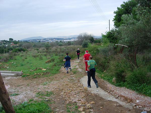
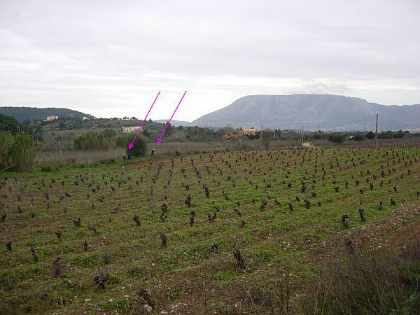
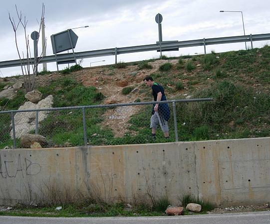
- T
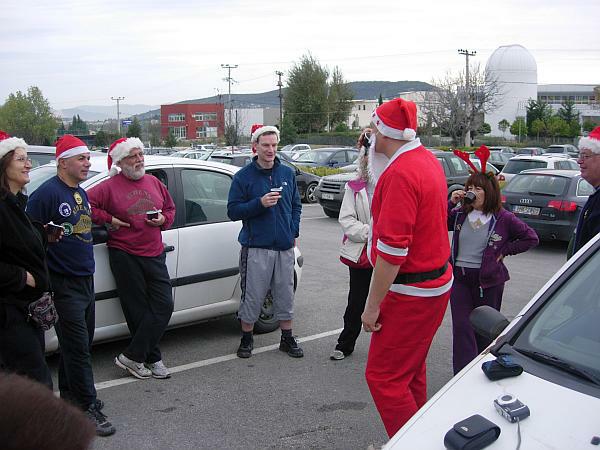
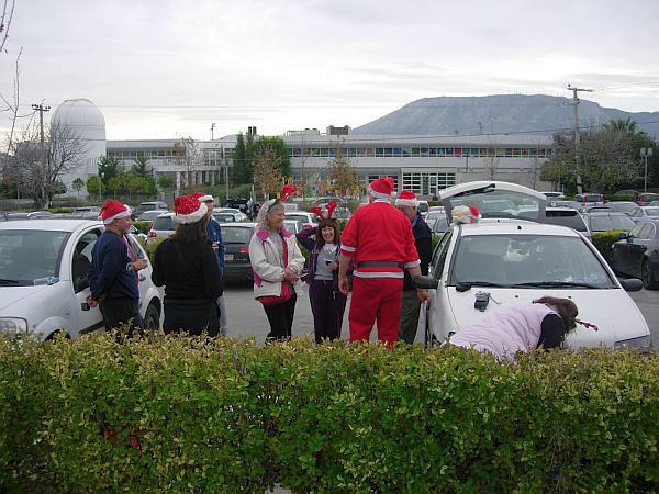
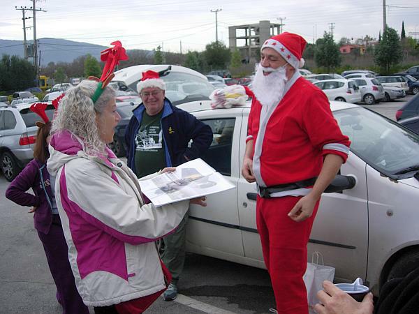
H E R U N -


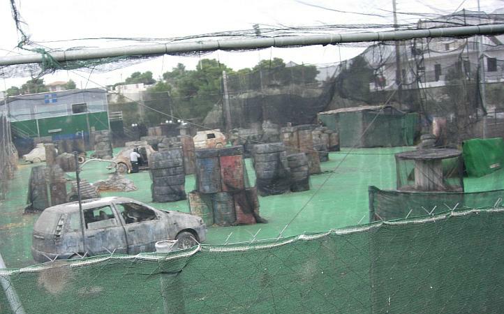

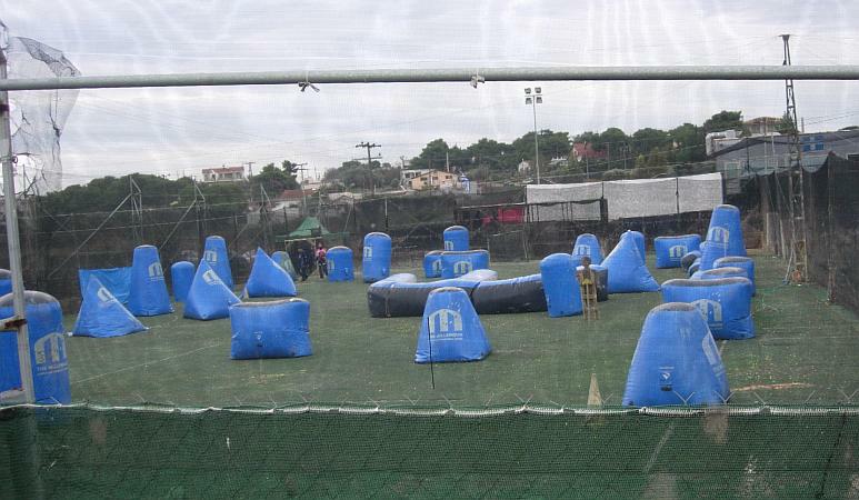


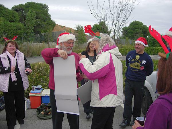
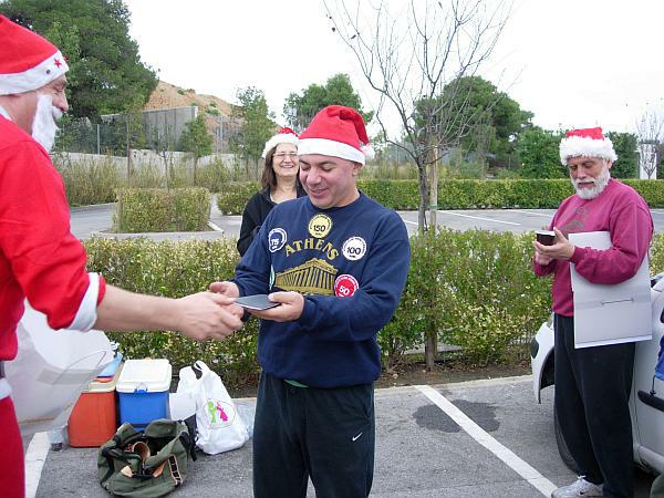
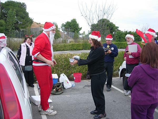
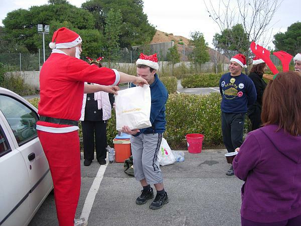
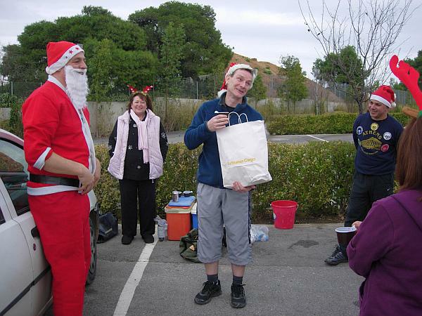
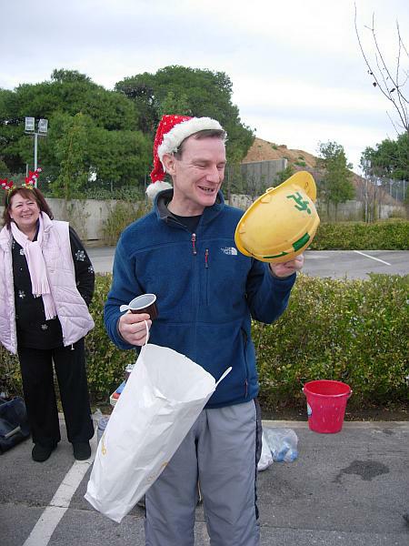
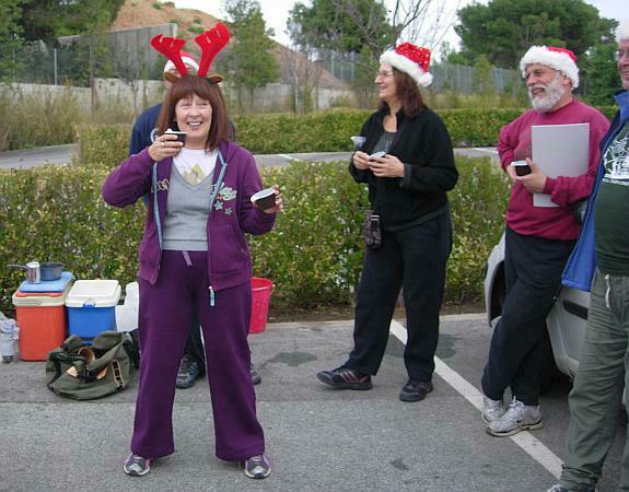
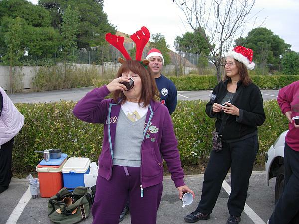
- T H E C I R C L E -


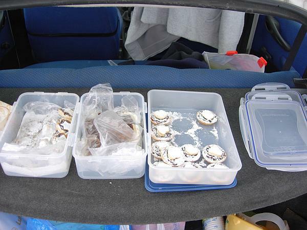
- T H E T A V E R N A -

|
NOTES To
send the photo by e-mail as an attachment: MD Feb. 2006 |
Please use your "Back" Button (Top Left) to return to the previous page