Varibobi
(North-Western Athens)
Run 1711 (Monday 13th September 2010)
Hare: Mountain Goat
Photographer: Mad Dog
- T H E T R A I L -
The lat/lon coordinates of the starting point
& circle (Large picnic area):
38° 9'18.03"N, 23°47'30.65"E
Altitude: 444 metres above sea level
(No GPS trail as trees/humidity or whatever blocked GPS signals)
- T
H E R U N -
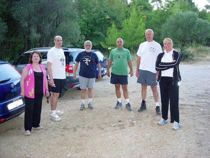
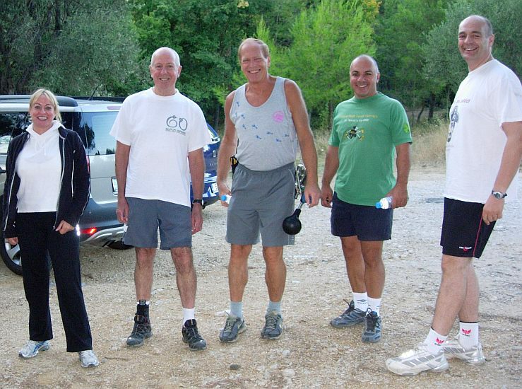
Pre-run circle
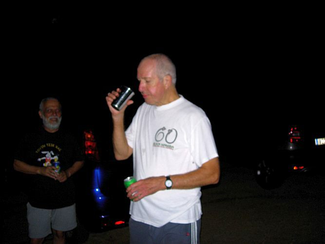
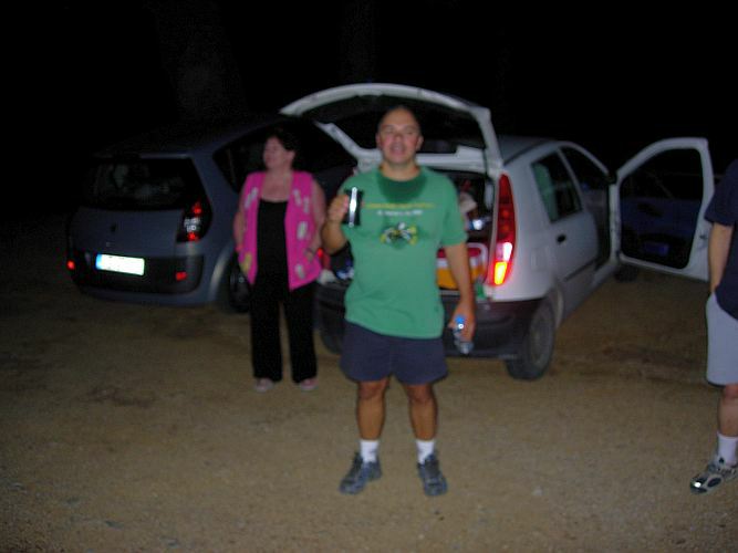
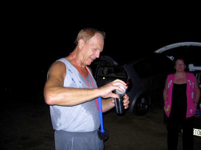
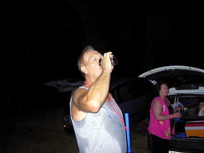
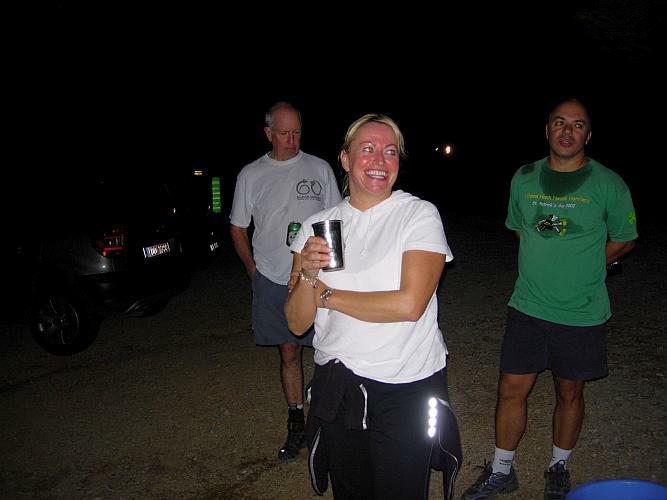
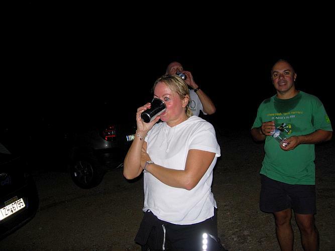
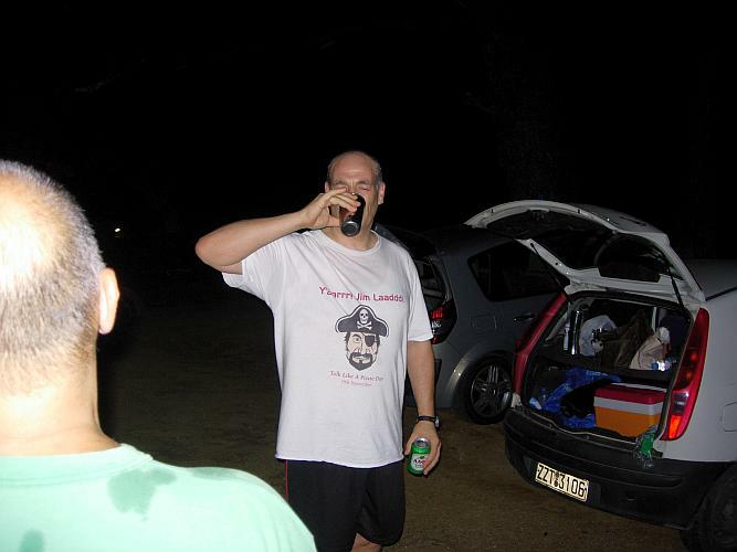
- T H E C I R C L E -
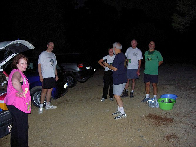
The hare's DIO
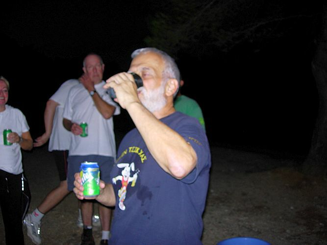
Mountain Goat
Black Mamba
Rear Entry
Mad Dog - special award from Mountain Goat

Coke Dealer
Fair Cop
- T H E T A V E R N A -
No taverna this week
|
NOTES To
send the photo by e-mail as an attachment: MD Feb. 2006 |
Please use your "Back" Button (Top Left) to return to the previous page