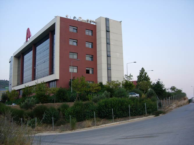
SEA Mesogia - Attiki Odos
(Rest area between junctions 17 - Kanza and 18 - Peania)
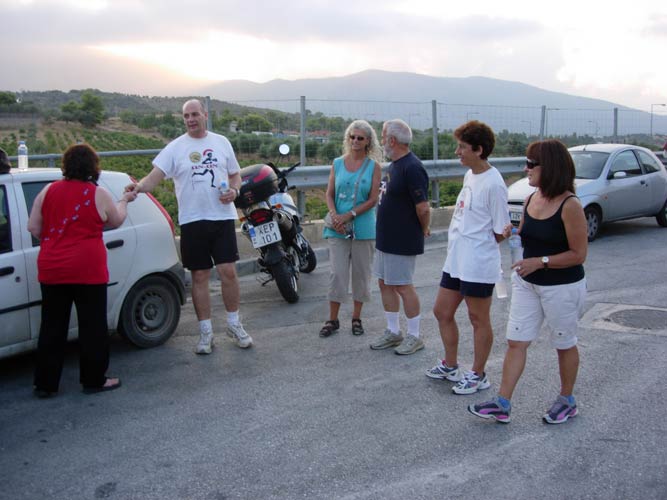
Run 1709 (Monday 30th August 2010)
Hare: Fair Cop
Photographer: Mad Dog
NOTE: Use the horizontal scroll bar (bottom of screen) to view the panoramic photos.
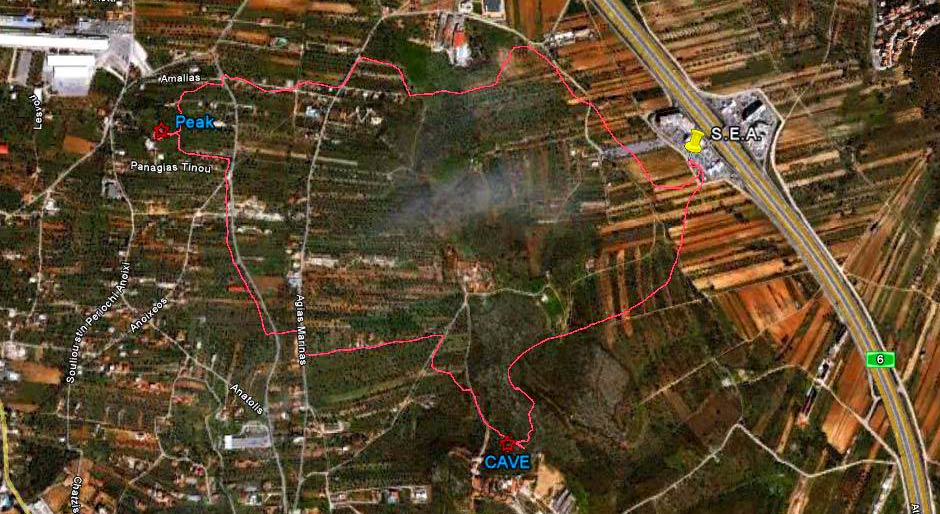
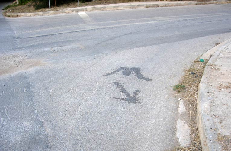
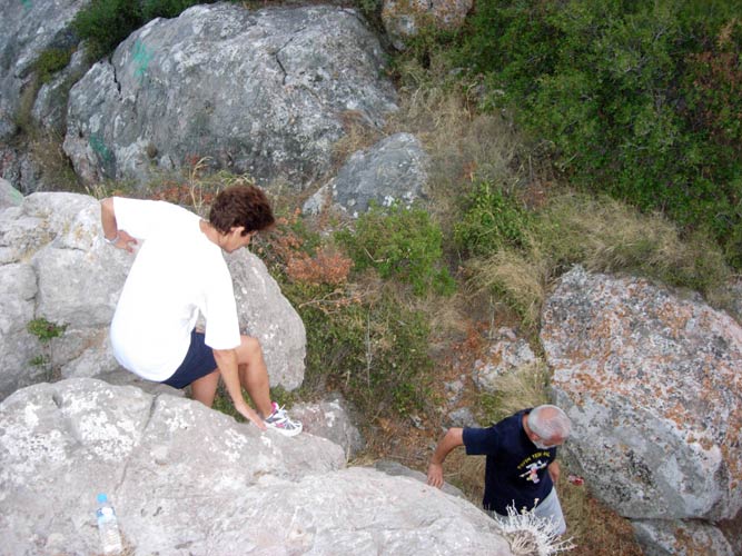
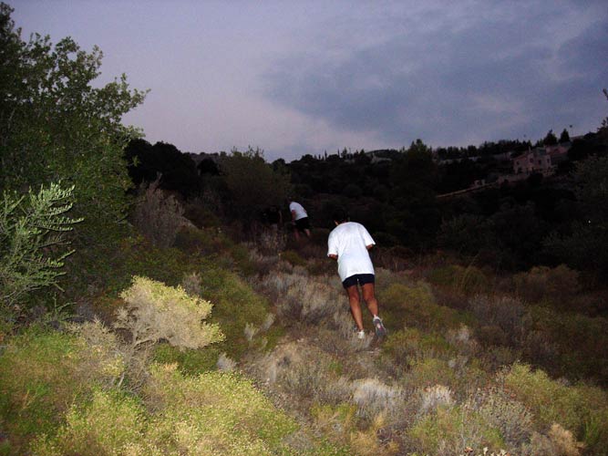
- T H E T R A I L -
The lat/lon coordinates of the starting point
& circle: 37°58'14.04"N, 23°52'40.75"E
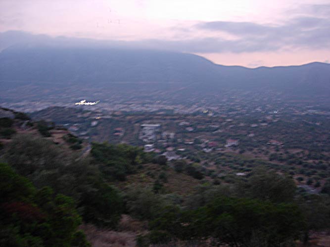
Altitude: 192 metres above sea level
Trail cartographic Length approx. 5.0 km

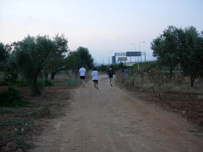
- T H E R U N -
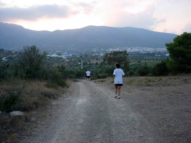
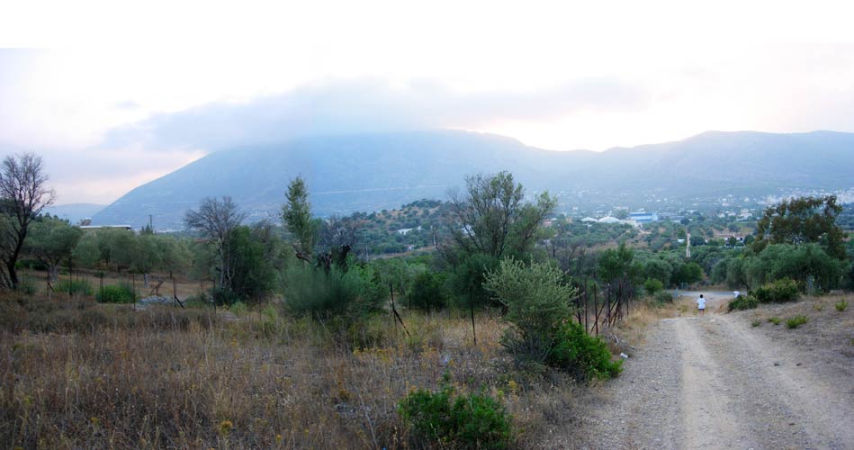
Train rail location: 37°58'21.51"N, 23°51'53.00"E
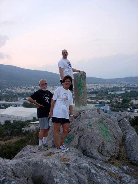
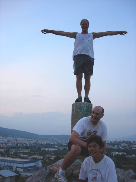
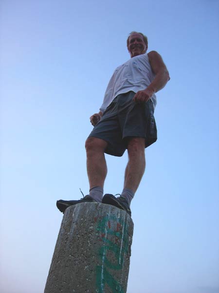
Peak location: 37°58'16.81"N, 23°51'36.65"E
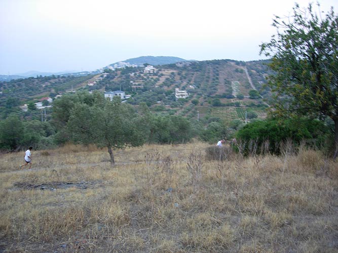
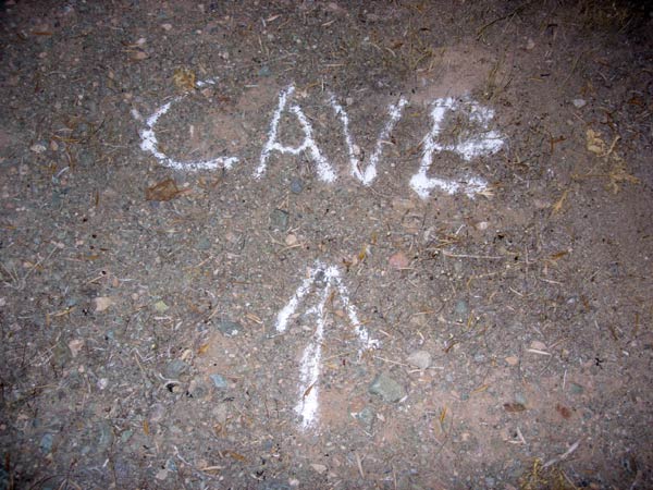

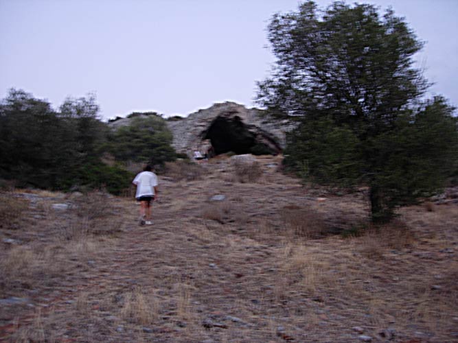
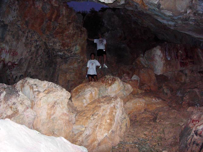
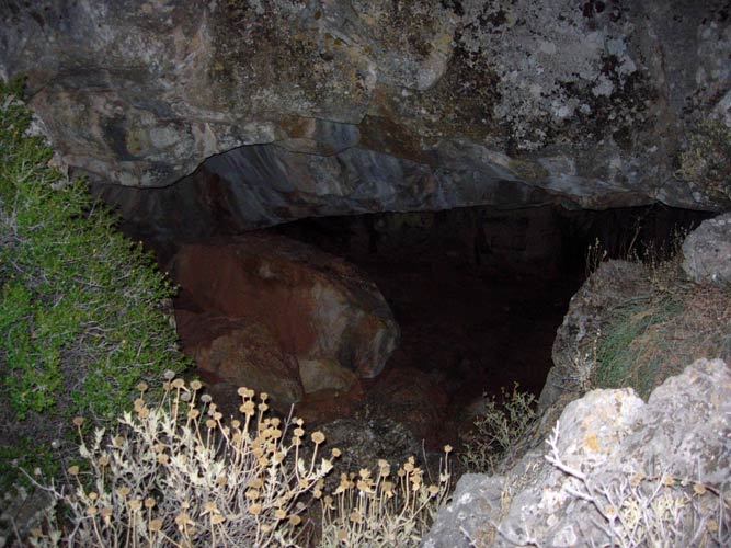
Cave location: 37°57'47.32"N, 23°52'18.53"E

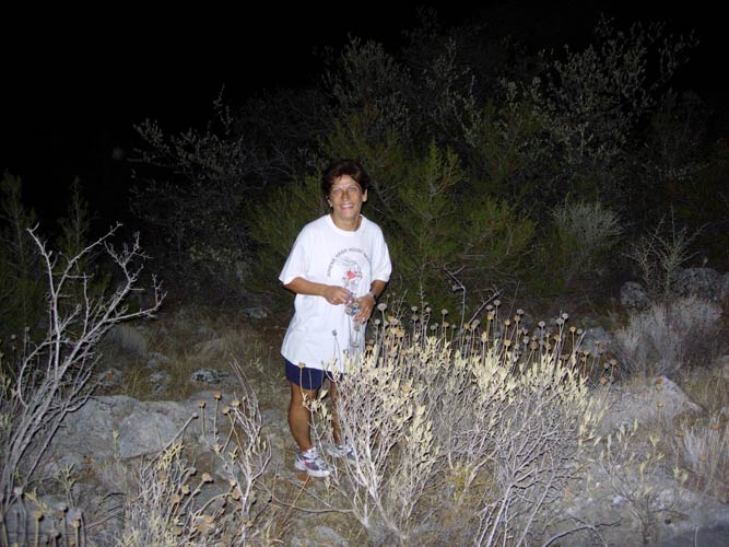
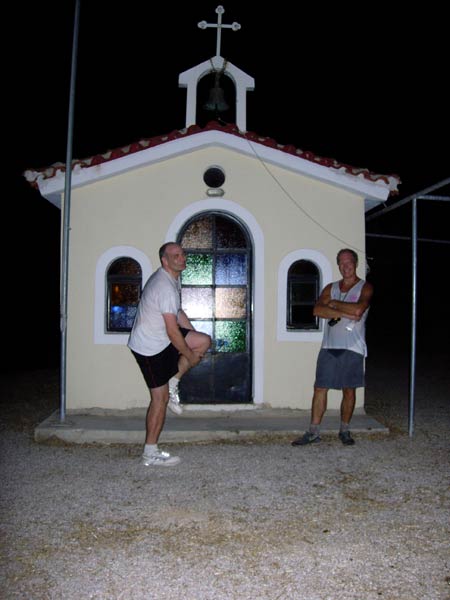
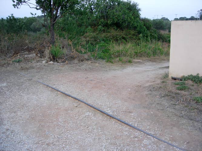
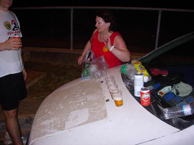
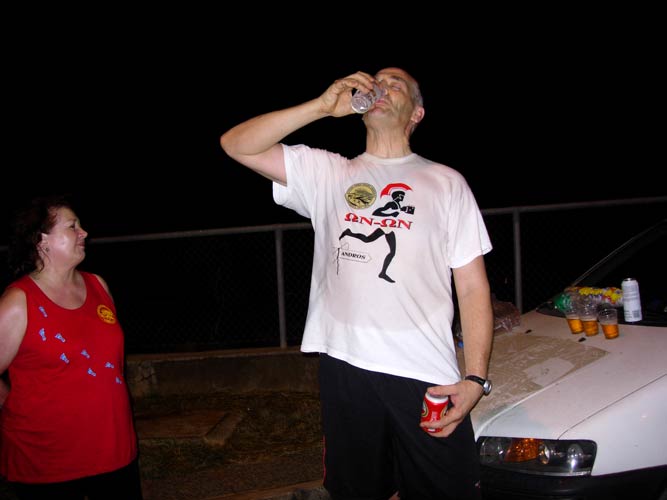
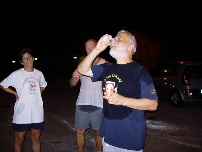
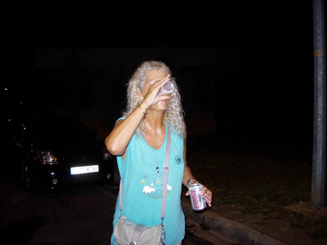
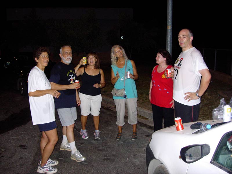
- T H E C I R C L E -

- T H E T A V E R N A -
No taverna this week
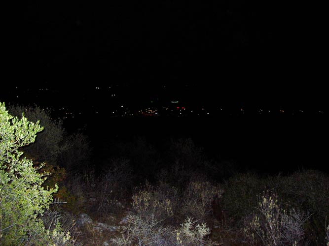
(High humidity & hot - so hashers wet with perspiration & needed a shower)
|
NOTES To
send the photo by e-mail as an attachment: MD Feb. 2006 |
Please use your "Back" Button (Top Left) to return to the previous page