Mount Pendeli
(Northern Athens)
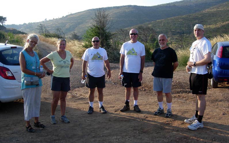
Run 1705 (Monday 2nd August 2010)
Hare: Mountain Goat
Photographer: Mad Dog
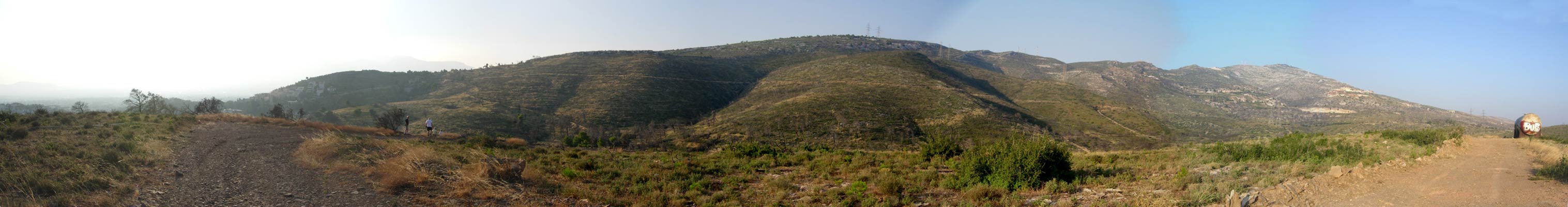
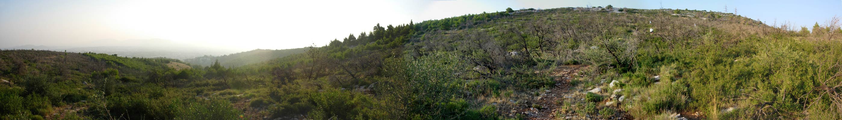
NOTE: Use the horizontal scroll bar (bottom of screen) to view the panoramic photos.
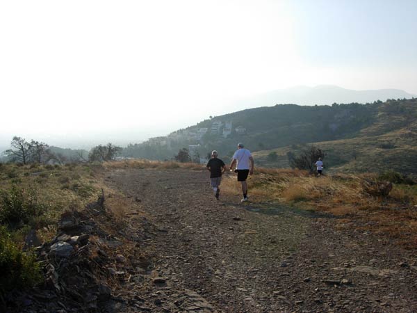
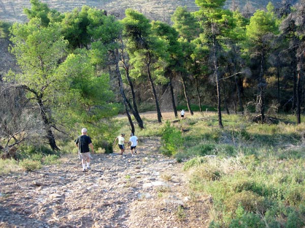
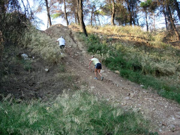
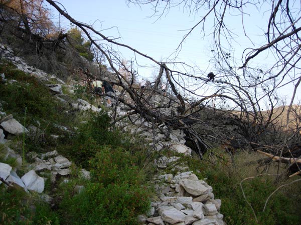
- T H E T R A I L -
The lat/lon coordinates of the starting point
& circle: 38° 4'47.40"N, 23°50'50.31"E
Altitude: 450 metres above sea level
Trail
cartographic Length = 5.12 km
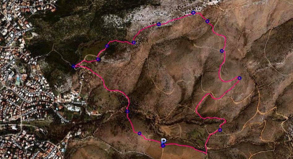
The trail from 2.8 km up
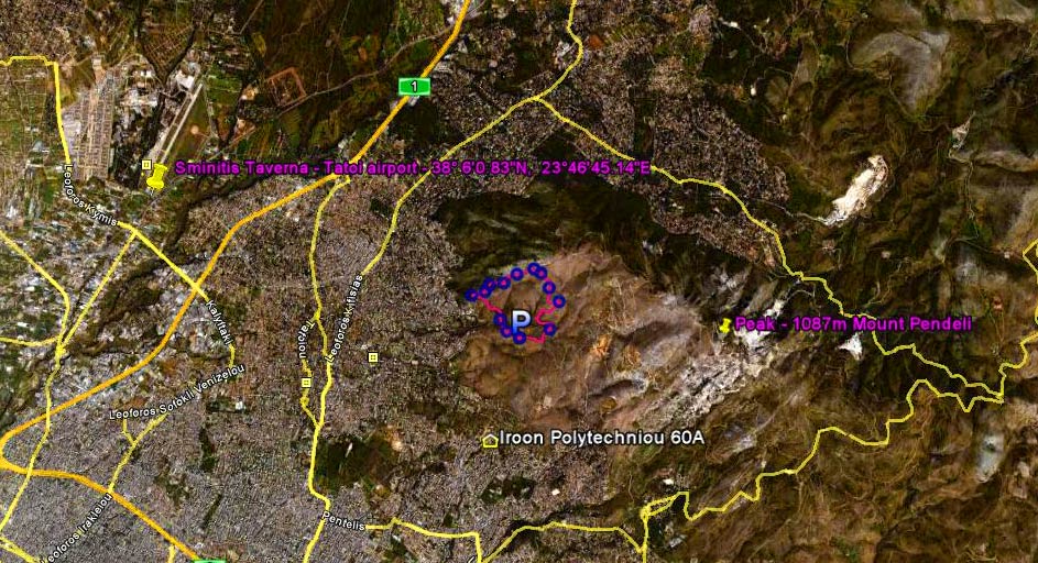
The trail from 16 km up.
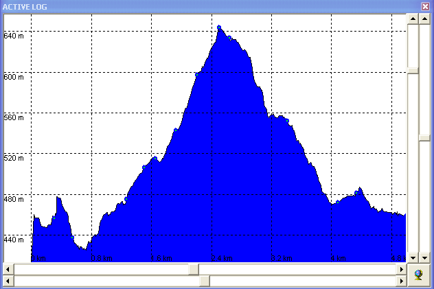
Altitude chart for the run. Note the greater than 200metre altitude range
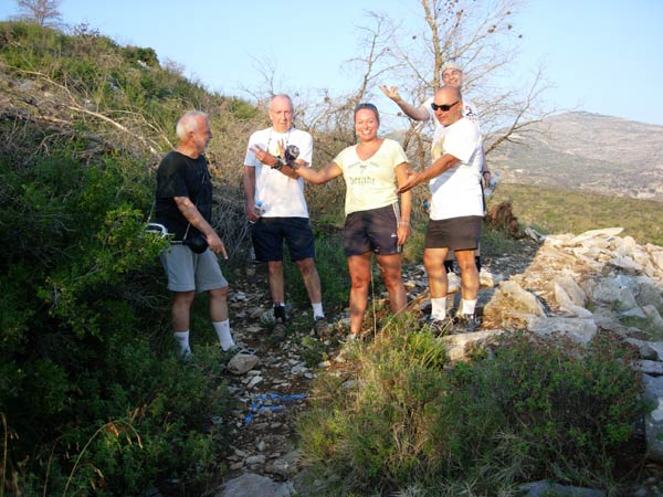
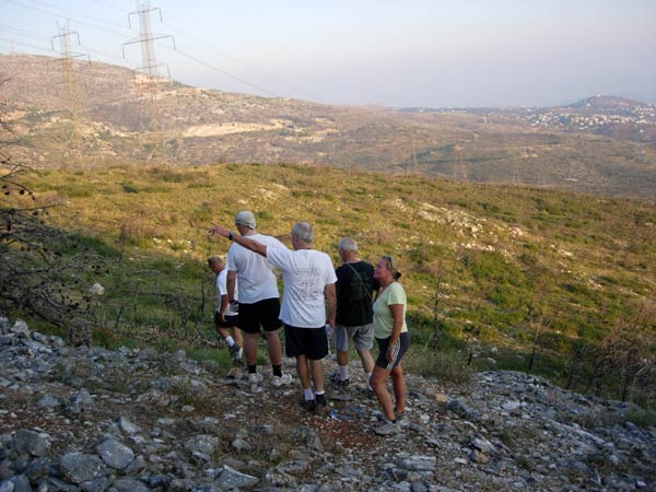
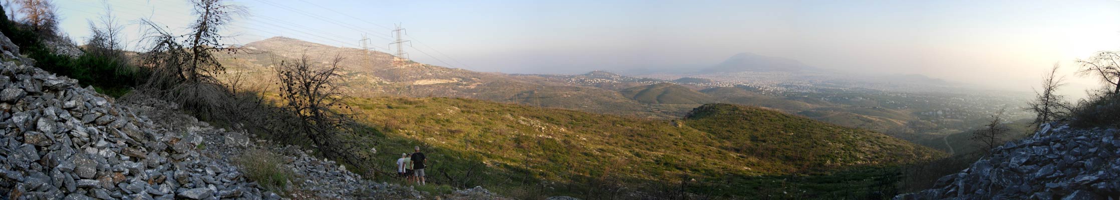
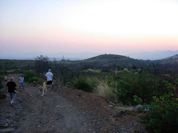
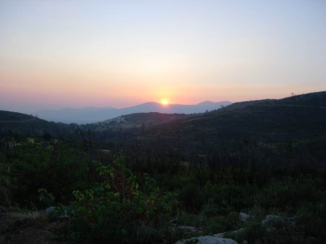
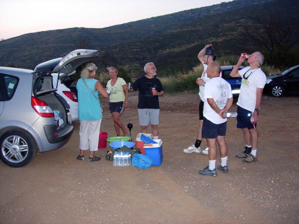
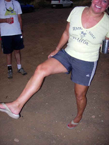
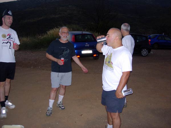
- T H E R U N -
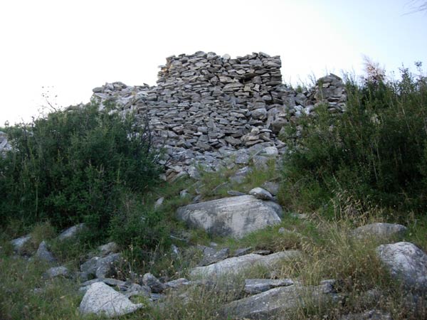

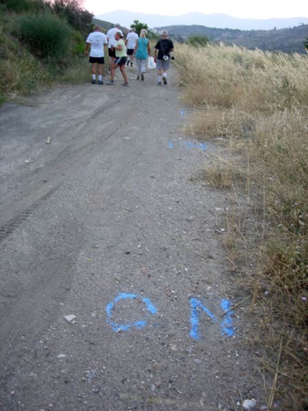
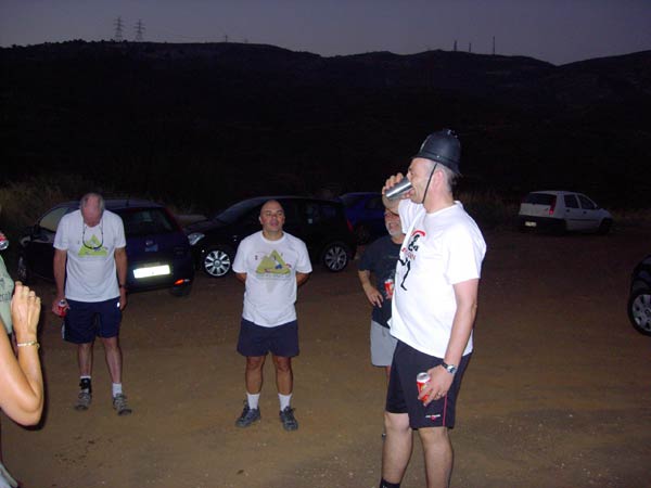
- T H E C I R C L E -


- T H E T A V E R N A -
No taverna this week.
|
NOTES To
send the photo by e-mail as an attachment: MD Feb. 2006 |
Please use your "Back" Button (Top Left) to return to the previous page