Marathon Lake area
(Northern Athens)
Run 1697 (Monday 7th June 2010)
Hare: Mountain Goat
Photos & captions: Prickly Bush
- T
H E T R A I L -
The lat/lon coordinates of the starting point
& circle: 38° 9'26.72"N, 23°53'9.30"E
Altitude: 323 metres above sea level
Trail cartographic Length = 7.9 km
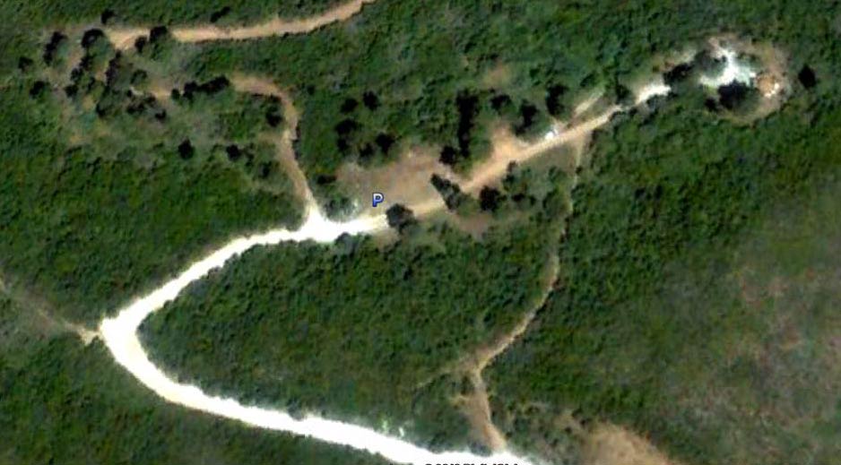
Parking area & circle
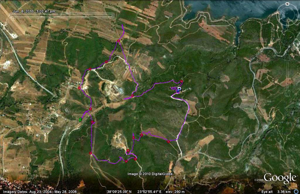
The trail
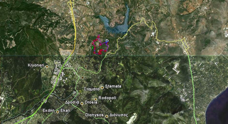
The trail & surrounding countryside. Marathon lake is north-east, the sea to the east
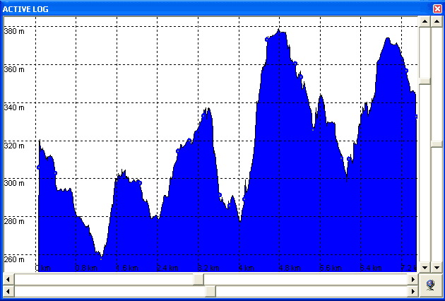
Altitude profile of the run
PHOTOS

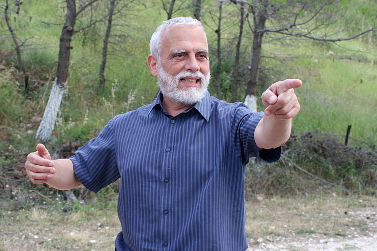
Mountain Goat the hare
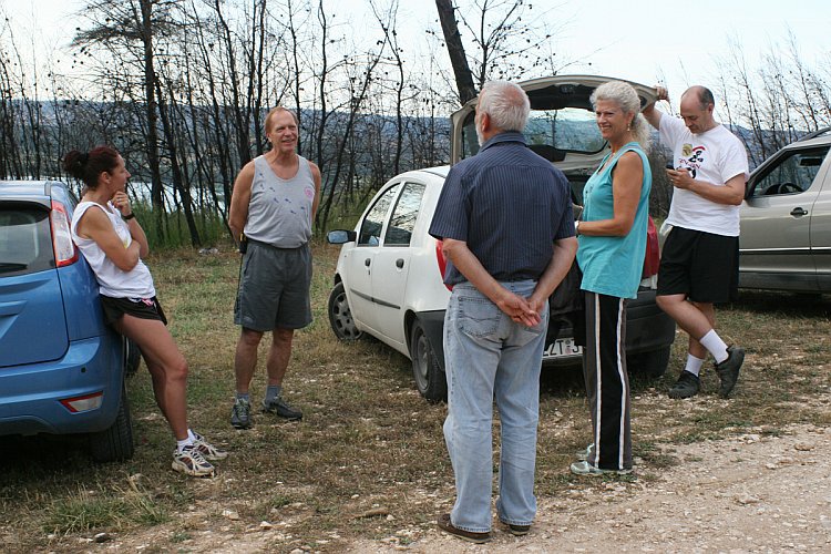
The circle.
The wildebeests went that way
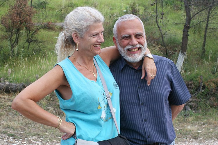
Clitoria and Mountain Goat

Kum Kwik.

Fair cop

Clitoria

Fiery Twat
|
NOTES To
send the photo by e-mail as an attachment: MD Feb. 2006 |
Please use your "Back" Button (Top Left) to return to the previous page