Batsi - Island of Andros
( The most northerly of the Cyclades islands)
Saturday 29th May 2010
- AH3 Run 1695 -
Hares: Beep Beep & Squeaky
Photographer: Mad Dog
NOTE: Use the horizontal scroll bar (bottom of screen) to view the panoramic photos.
- T H E T R A I L -
The lat/lon coordinates of the starting point (in Batsi town):
37°51'24.71"N, 24°47'10.66"E
Altitude: 1 metre above sea level
Trail cartographic Length = 7.1 km
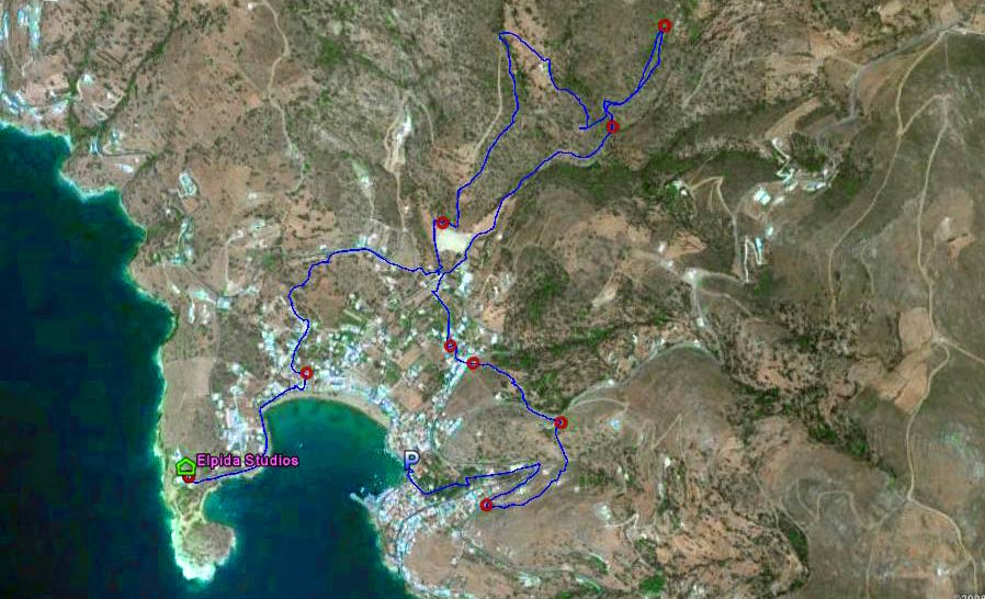
The trail starting from the harbour front
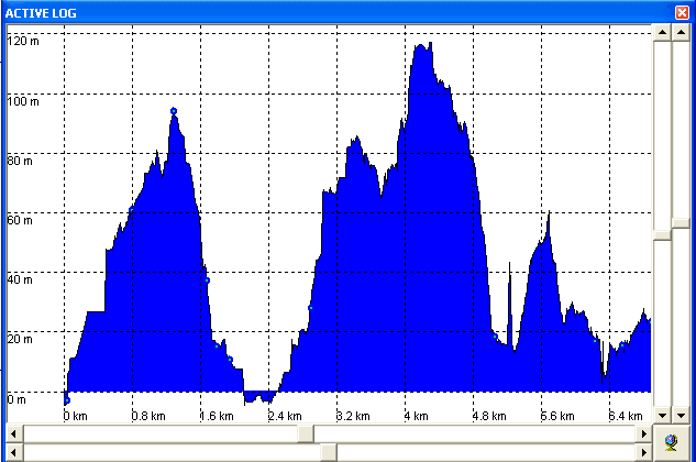
The altitude profile - ranging 120 metres
No wonder it took over 2 1/2 hours to cover the whole trail
- T H E H O T E L -
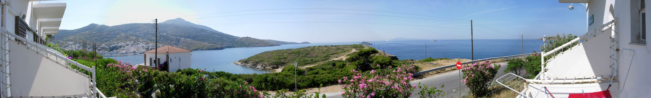
Panoramic view from the front of Elpida Studios
Address: Kolona 7, Batsi, Andros
(Owner: Yiannis Katsilivas Tel: +30 22820-41064, Mob: +30 694 532-6012)
- T H E R U N -
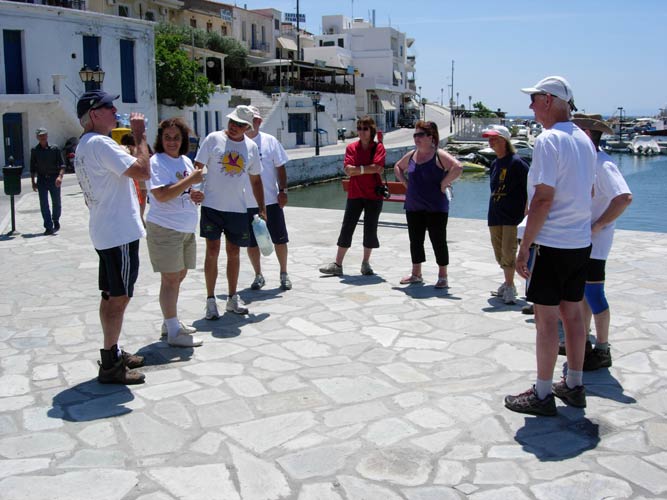
The run started in the town at 2.00 pm
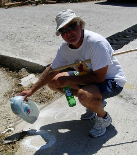
The hare Beep Beep gives us traditionally unreliable information about the trail at the pre-run circle
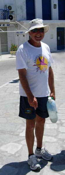
Beep Beep with his bottle of flour
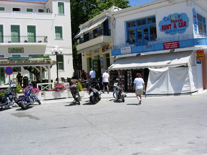
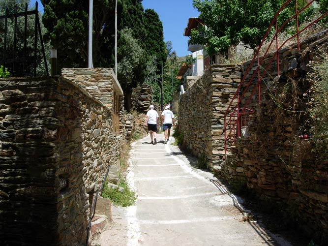
The runners set off from the harbour front
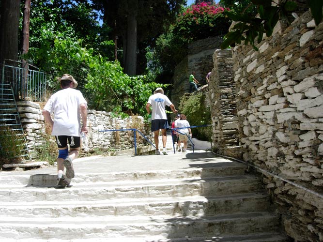
Up the first of many flights of steps
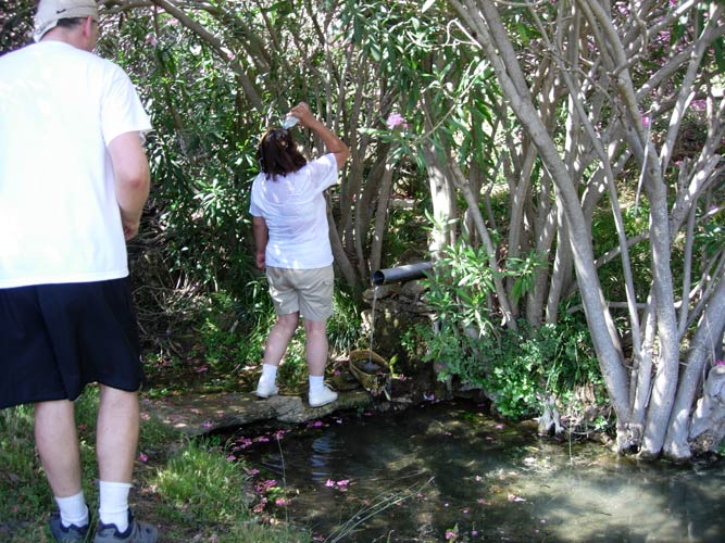
Note the "Avlaki" water channel on the right fed from a spring
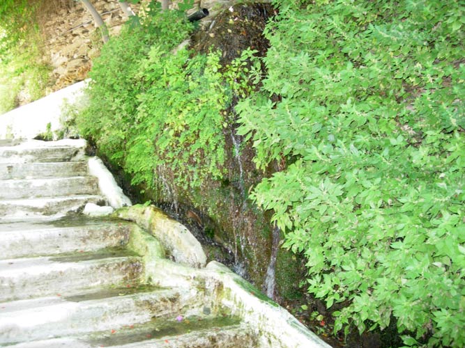
The spring
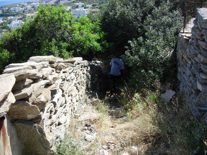
Stone walls "a plenty"
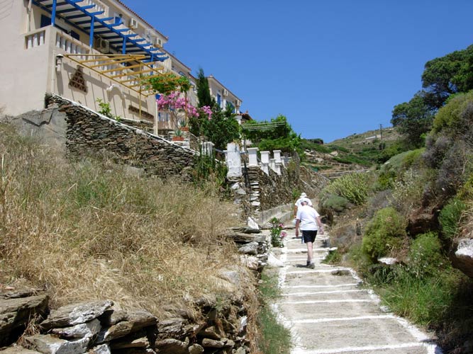
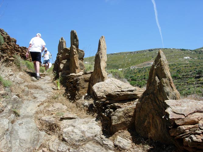
Heading for 'dem hills again
The hare and one of his checks
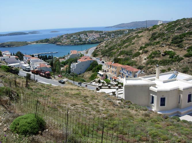
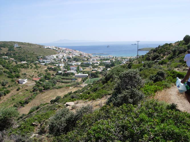
View of the harbour as we gained height
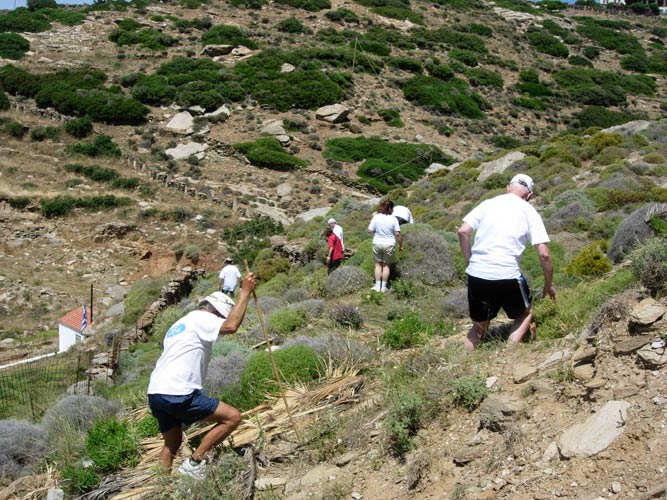
This was fun - steep slope, loose rocks & thorn bushes
Single file only!
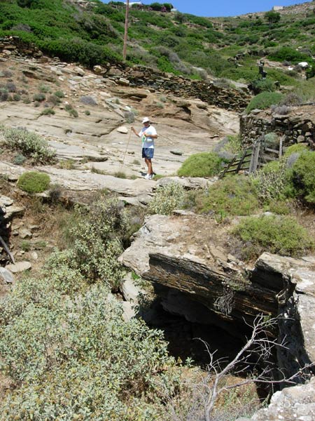
Beep Beep poses above a small cave
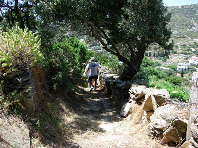
Footpath with traditional stone wall
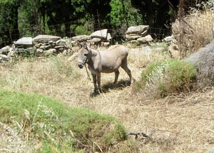
A tethered ass looks like a good photographic subject
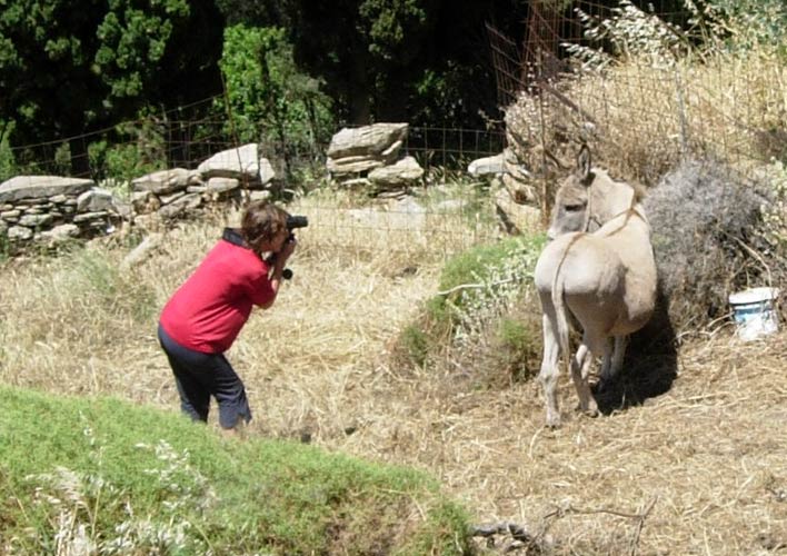
Prickly Bush approaches but only gets a view of the Asses ass
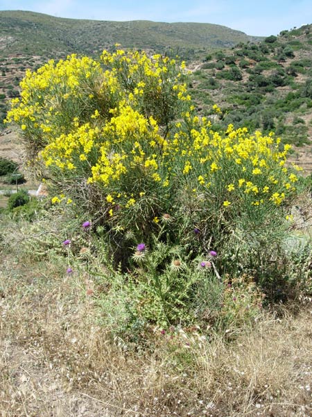
Local flora - Broom & thistles
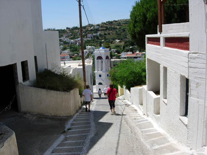
Heading down towards the church
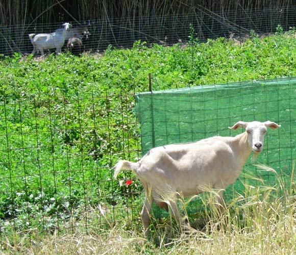
We suprise a female goat
Heading up a dry river bed
Dry river bed turns wet as we climb higher
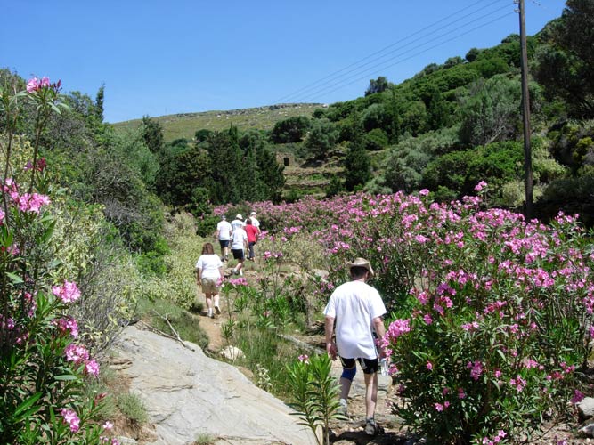
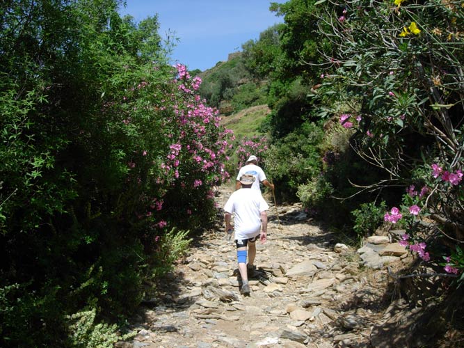
The river bed is lined both sides with colourfully blooming "Picrodaphne" or Oleander
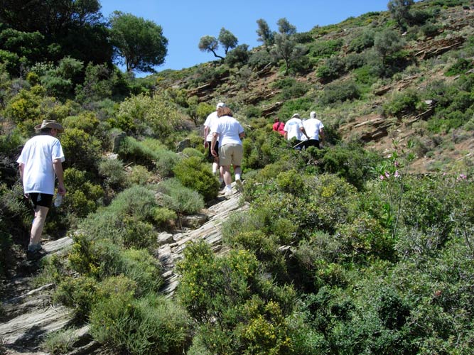
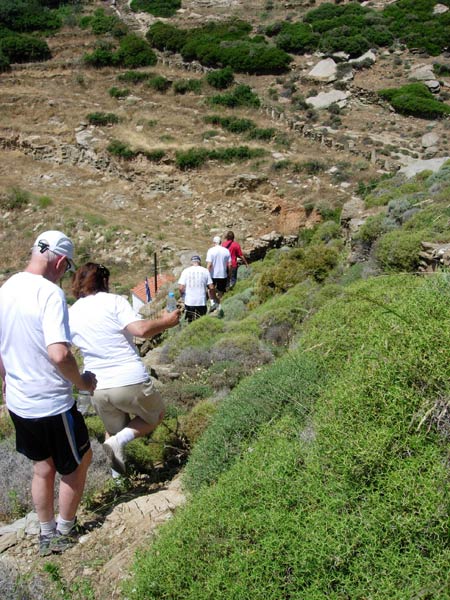
On up the mountainside
Panoramic view of the rather dry mountainsides
Up and up...
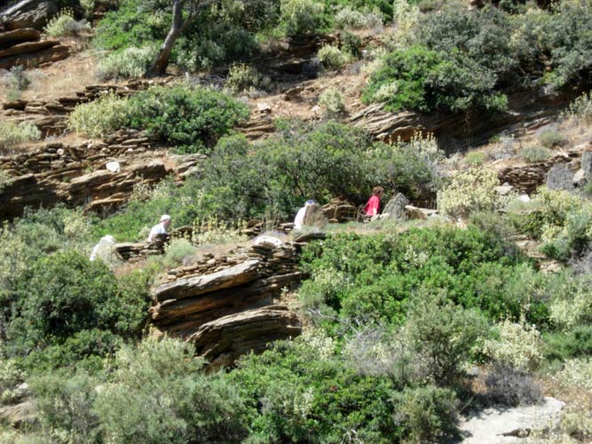
Impressive stone walls everywhere.
The large pieces of stone must have taken a huge effort to move & place in position.
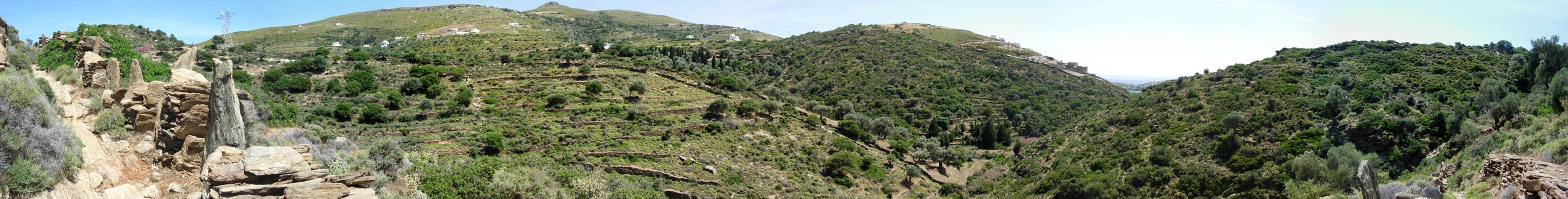
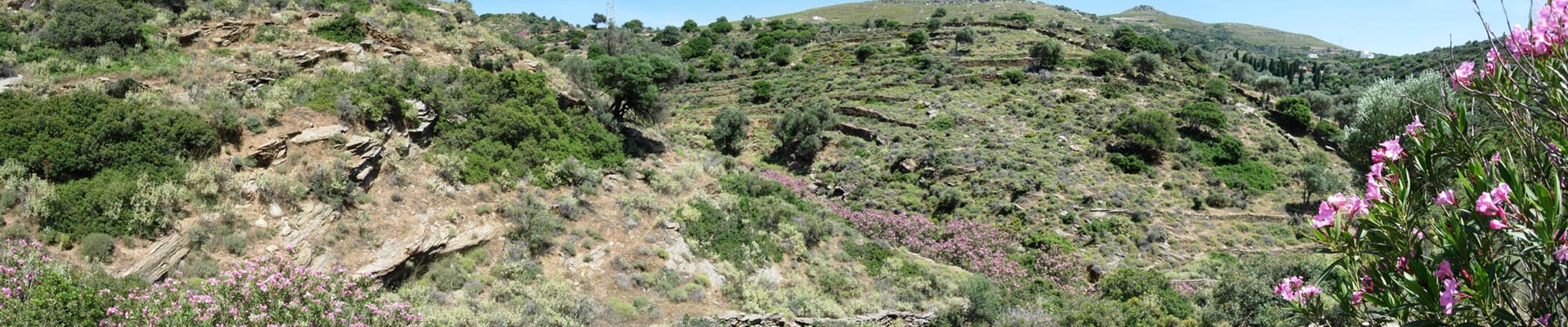
Panoramic view showing the many abandoned walled-terraces and a view of the sea.
In days gone by there was a lot of farming activitity on these mountainsides and these pathways
would have been used by donkeys carrying produce down to the town & port.
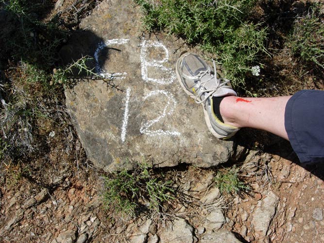
The hare's "check-back 12 markings" indicator (a false trail)
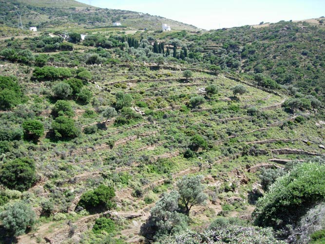
More stone-walled terraces
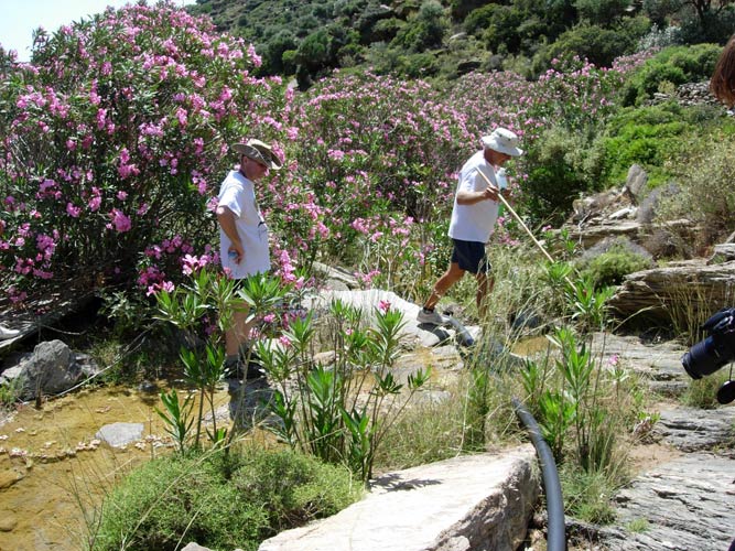
We refresh ourselves at the spring & refill our water bottles
View of the sea as we descend
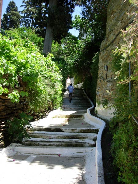
Pathway with overhead tree covering.
- T H E C I R C L E -
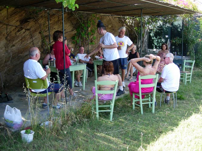
After the long and tiring run - a sitting circle
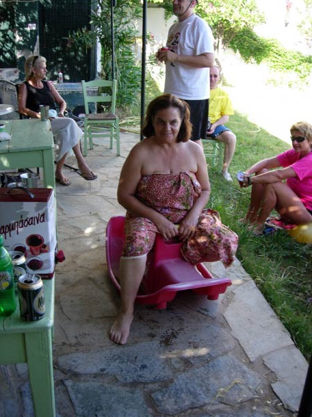
An island naming - "Lost Property" as she tragically had
all her land & property confiscated by a corrupt minister in Tanzania.
- T H E T A V E R N A -
We had dinner at "The Dolphins" restaurant in Batsi - which was elevated and
gave a fine view of the harbour and lights at night.
(Tel: 22820-41635)
Afterwards we returned to the hotel to watch the Eurovision Song Contest
Wine & snacks provided by the AH3.
Lottery organized by Clitoria.
|
NOTES To
send the photo by e-mail as an attachment: MD Feb. 2006 |
Please use your "Back" Button (Top Left) to return to the previous page