Run 1688 (Sunday 11th April 2010)
Hare: Rear Entry
Photographer: Prickly Bush
The lat/lon coordinates of the starting point
& circle:
38° 7'23.98"N, 23°39'20.08"E
Altitude: 333 metres above sea level
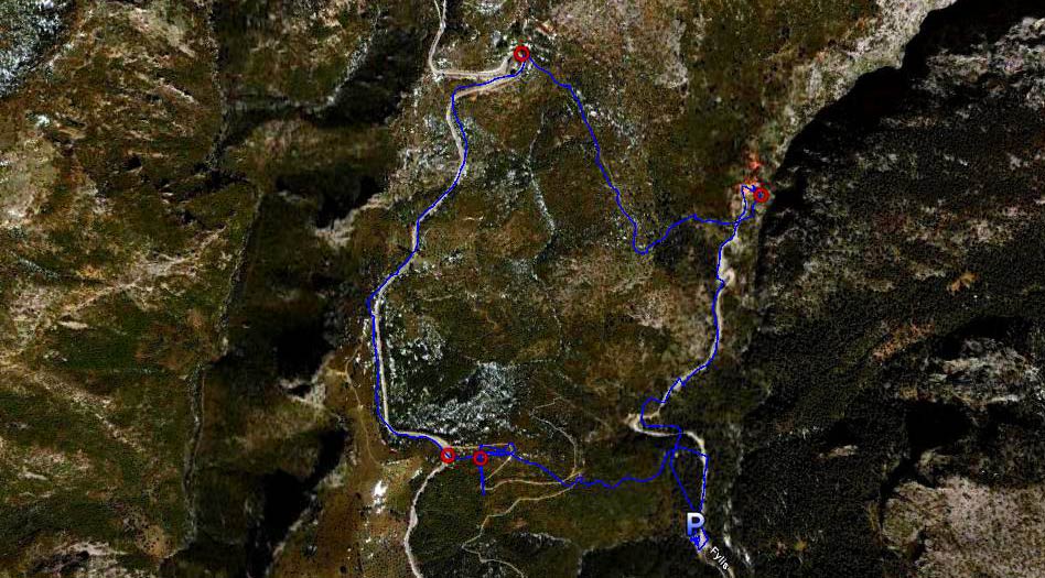
Trail
cartographic Length = 5.1 km
The trail from 2.5 km altitude
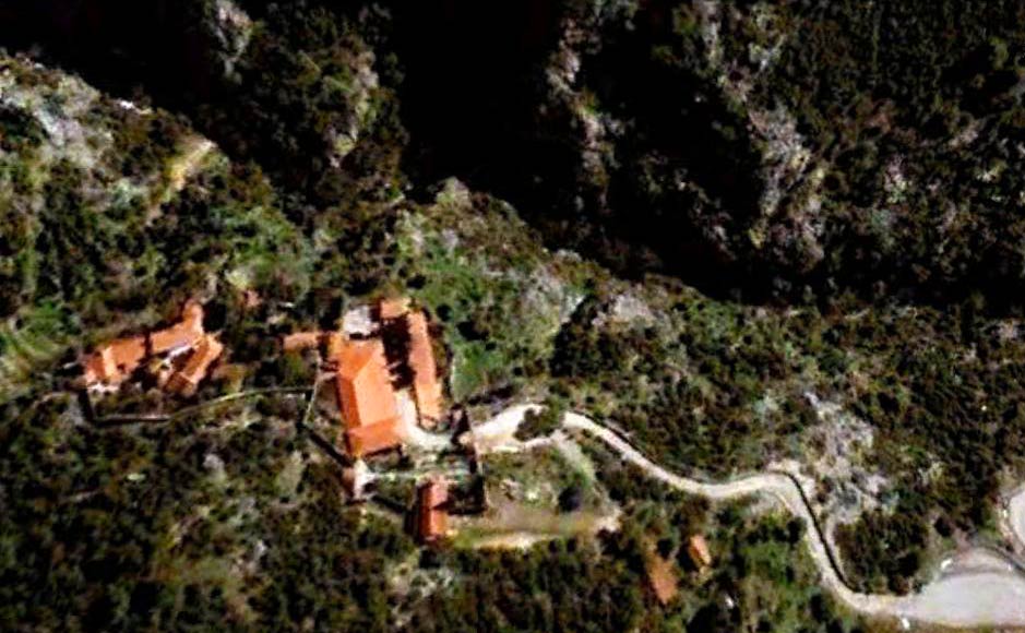
The Koimiseos Theotokou Kleiston monastery from 700 metres altitude.
(Koimiseos Theotokou = The Assumption of the Virgin Mary, Kleiston = Name of the area)
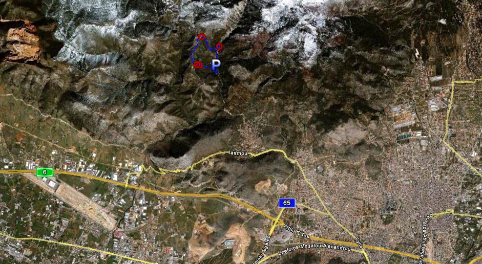
The trail from 15km altitude
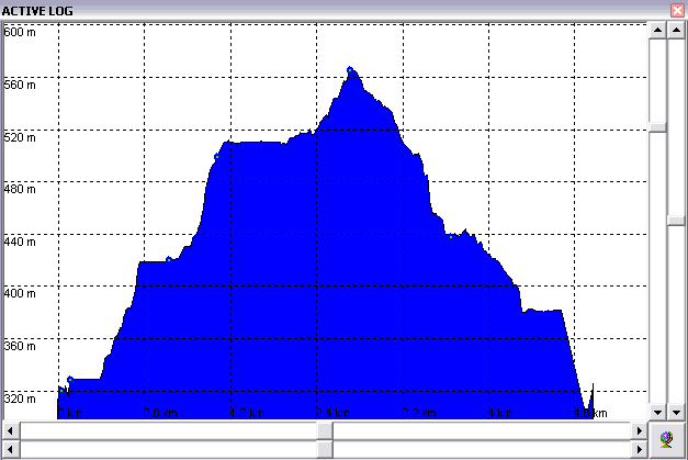
The altitude profile of the run (Note the 333m to 566m range = 233 metre climb)
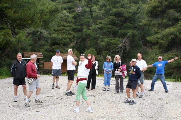
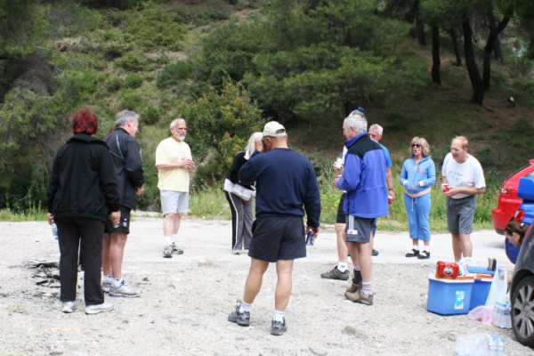
The pre-circle
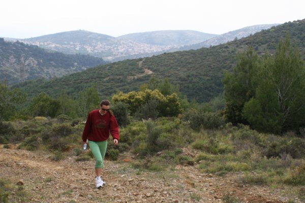
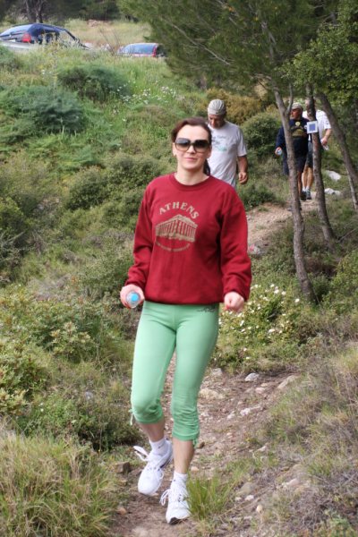
Rear Entry the hare
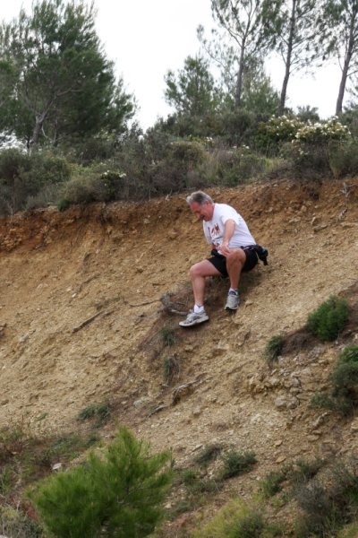
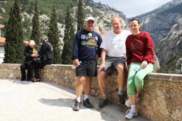
A missing hasher
Napoleon's Boney Part on a check
On Up Spy Shagger
Fly you bastard
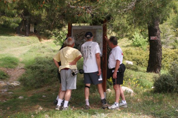
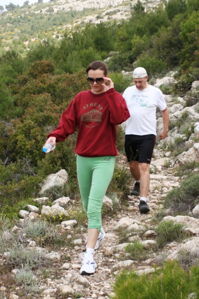
Checking the trail
Checking
Check
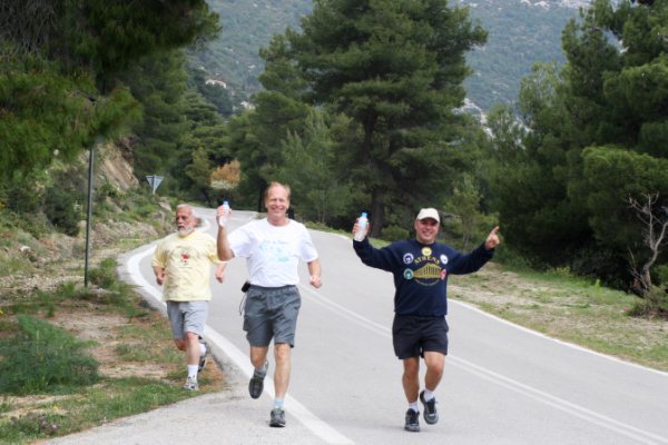
Spy Shagger leads the hashers On Down
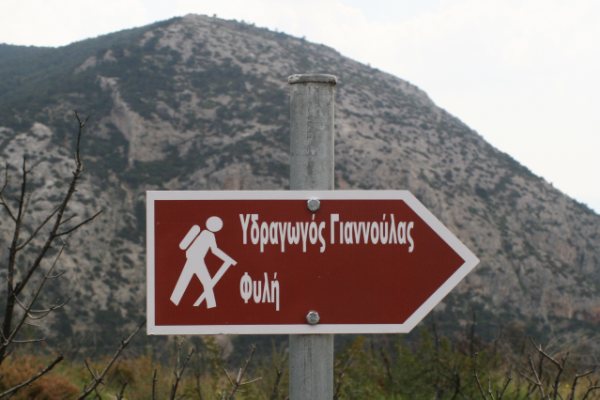
This way (to the Water Pipe Yiannoulas - Fili) - whatever that means?
Still down
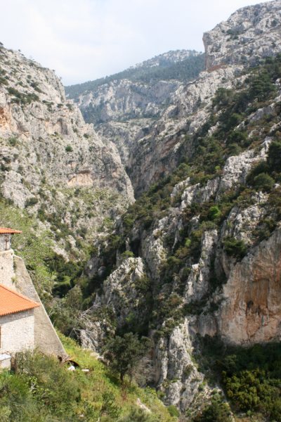
The gorge at the Monastery
Rear Entry, Mad Dog and Spy Shagger
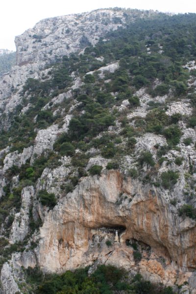
Statues & icons placed in a cave opposite the Monastery
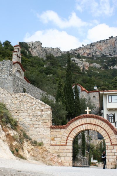
The entrance to Kliston Monastery
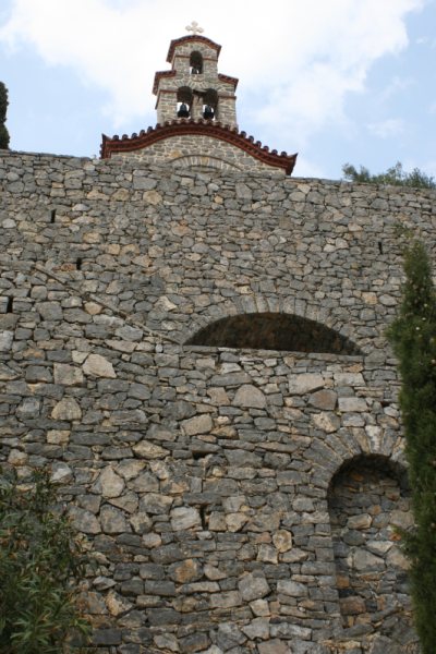
Much stone masonry
On In
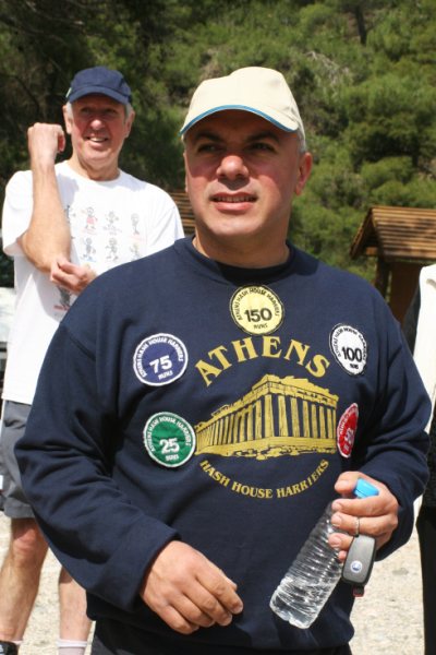
The hare's DIO
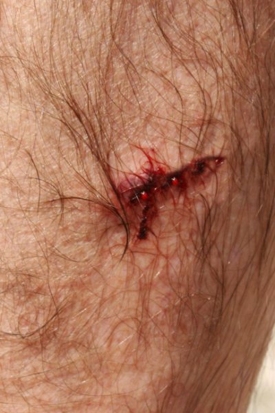
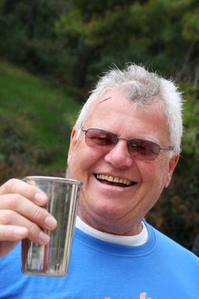
Bleeding Bastard
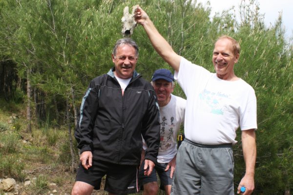
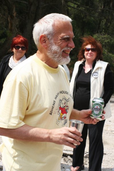
A DIO for Mad Dog
Flyers
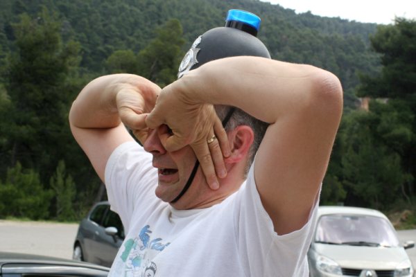
Fair cop
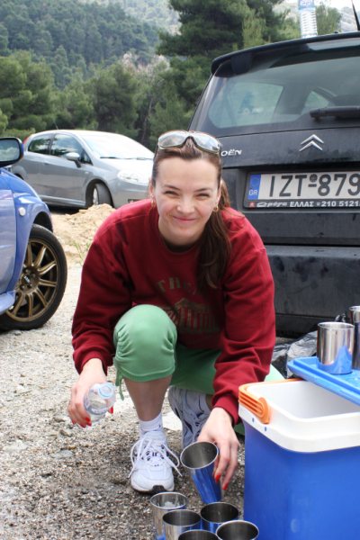
Kum Kwik
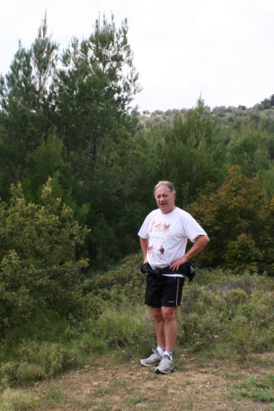
Mountain Goat
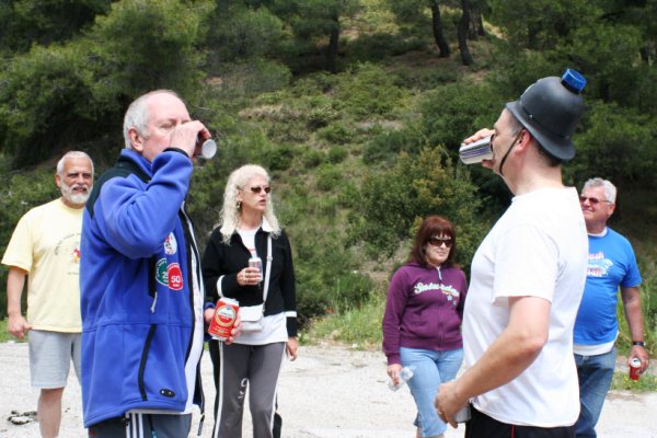
Black Mamba and Fair Cop share a DIO for watering the trail
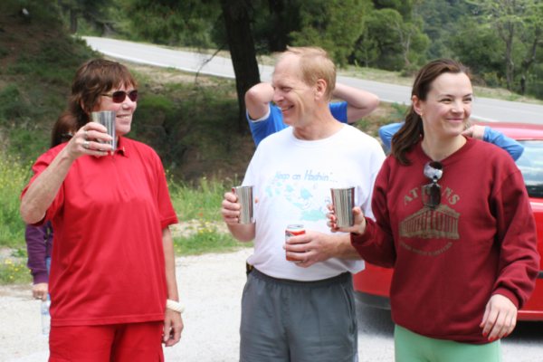
The Circle
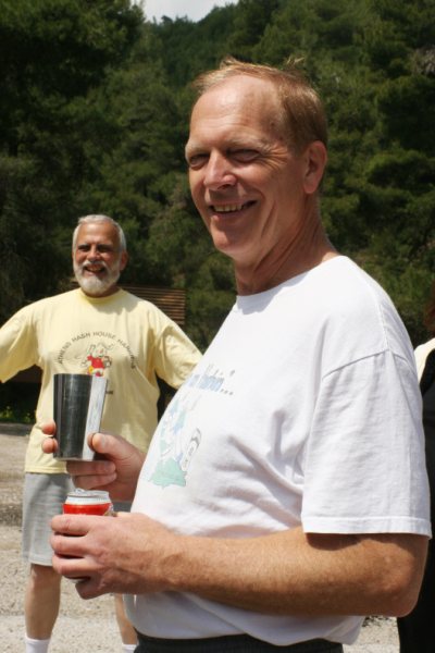
Spy Shagger the Beer Bitch
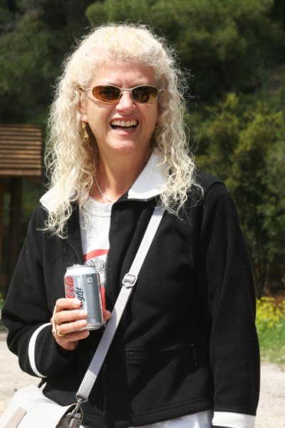
Dame Clitoria MBE
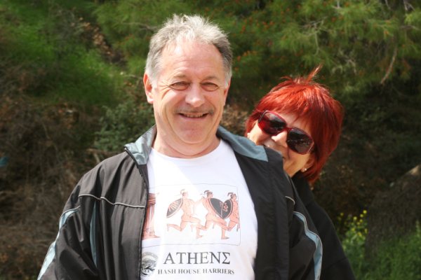
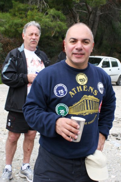
Napoleon's Boney Part and Coffee Crepe
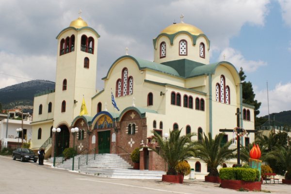
Church at Fili
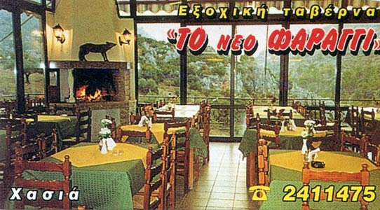
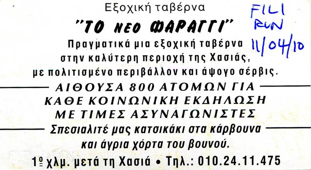
THE TAVERNA
|
NOTES To
send the photo by e-mail as an attachment: MD Feb. 2006 |
Please use your "Back" Button (Top Left) to return to the previous page