Marathon Lake
(North of Athens)
Run 1683 (Sunday 7th March 2010)
Hare: Mad Dog
Photographer: Mad Dog
NOTE: Use the horizontal scroll bar (bottom of screen) to view the panoramic photos.
- T H E T R A I L -
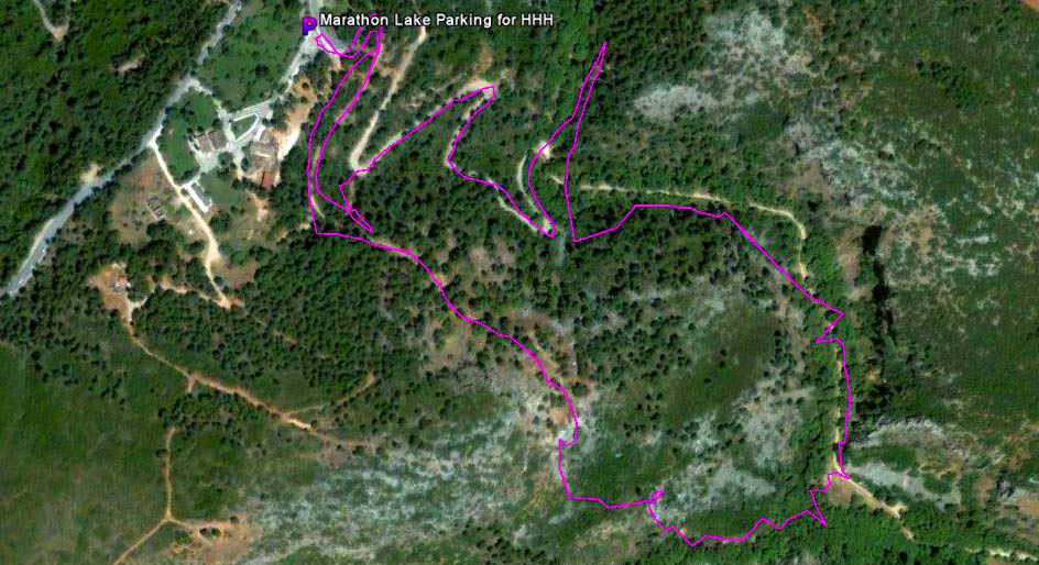
The lat/lon coordinates of the starting point
& circle: 38° 9'49.02"N, 23°54'11.76"E
Altitude: 258 metres above sea level
Trail
cartographic Length = 3.2 km
(Note: Cartographic length does not include extra distance travelled up/down)
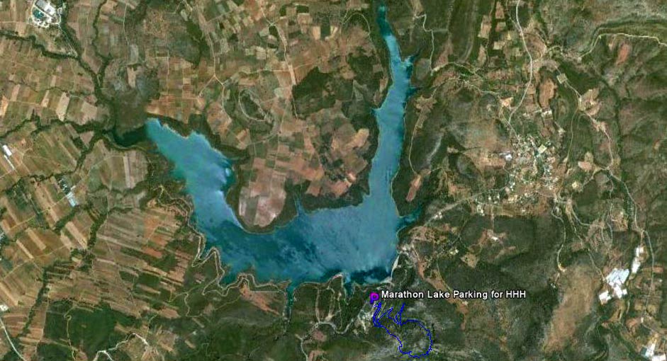
The trail from 1.2 km altitude
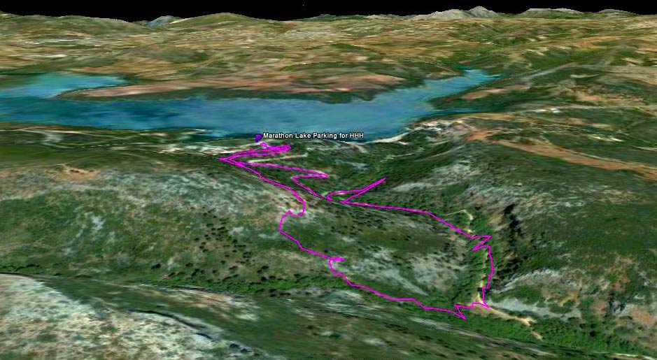
3D view from 530m altitude.
The canyon leading down from the dam is more obvious in this view.
The trail from 6.2 km altitude
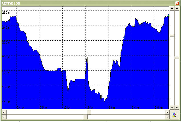
Altitude profile of trail.
Note steep slopes climbed & 110 metres altitude range.
- T H E D A M & L A K E -
Parking area kindly provided by the Greek National Water Company EDAP for our run.
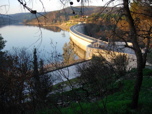
The lake and upside of the marble dam
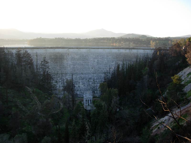
Downside of the dam & the marble temple
A surprising view seldom seen by visitors as it is necessary to skirt the canyon from
the north (cafe) side of the dam.
(Path starts at the earthern parking area on the opposite side of the road from the cafe -
by the KALETZI sign)
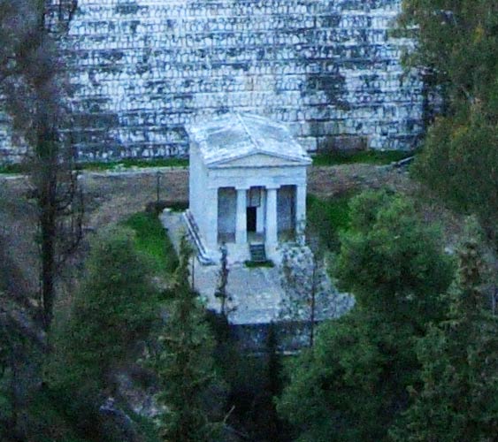
Close-up of the temple
- V I E W S OF T
H E C A N Y O N / V A L L E Y -

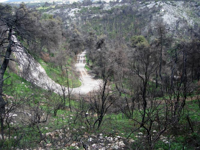
View of the canyon downside of the dam from the north (cafe) side of the dam.
Note the burnt pine trees from this summer's forest fire.
Closed access road down to the canyon floor (south side of dam)
Floor of the canyon
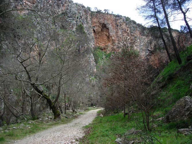
Sheer side of the canyon
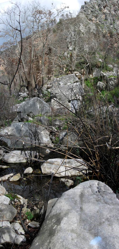
Crossing the stream
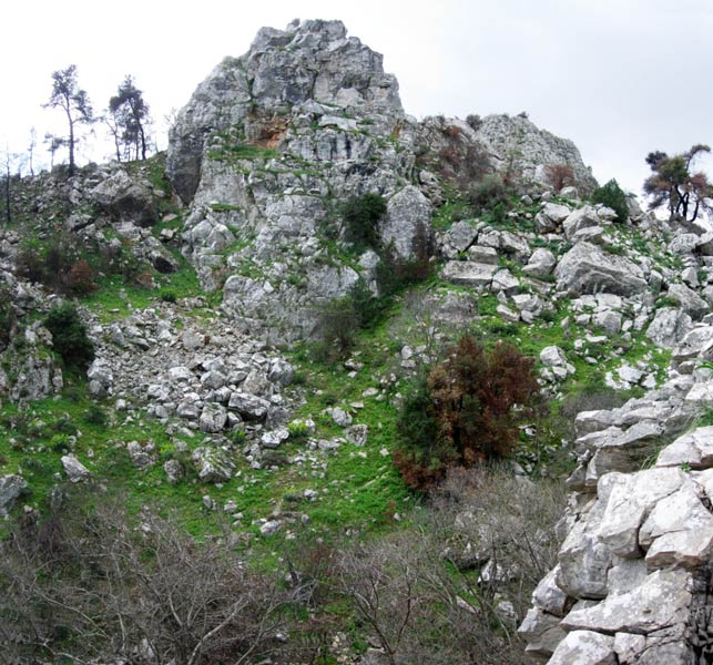
Rocky side
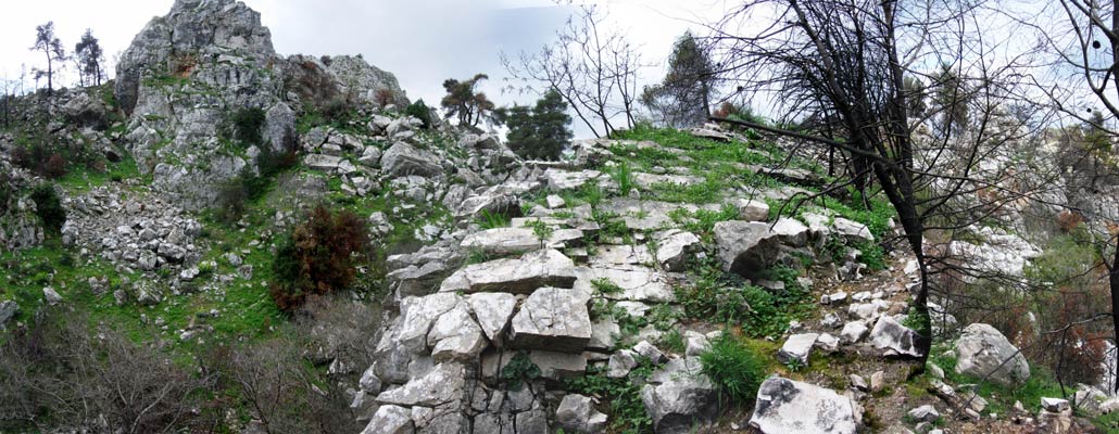
Another view
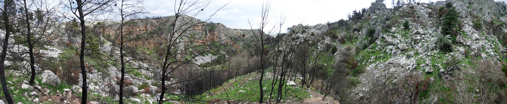
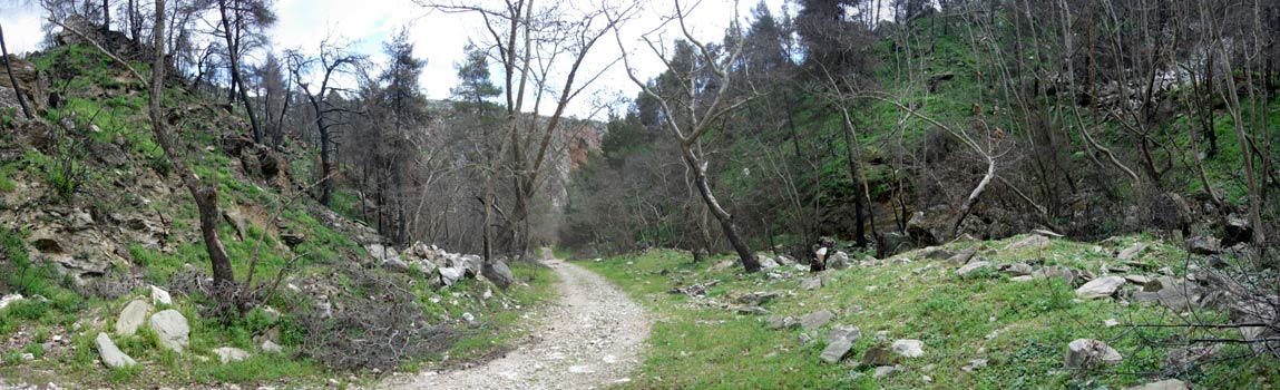
Panoramic view
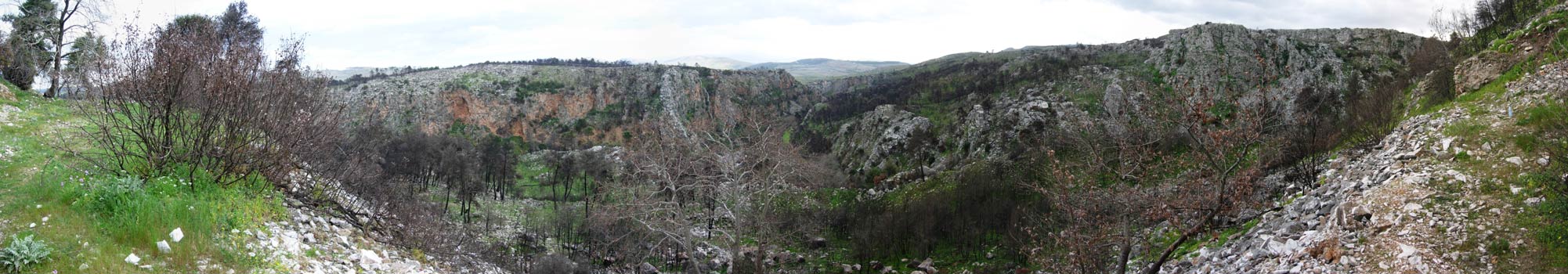
Panoramic view further down
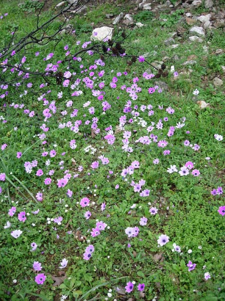
Spring flowers
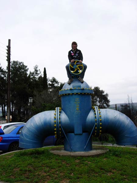
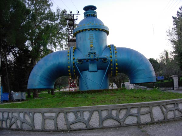
Prickly Bush shutting off the water supply to Athens
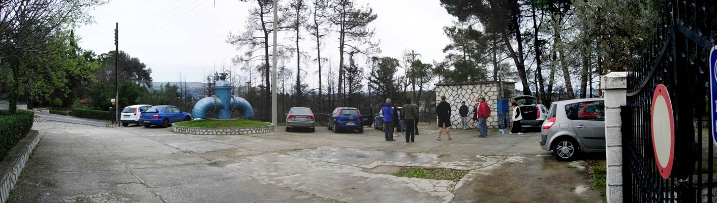
Panoramic view of the parking area and hash circle
|
NOTES To
send the photo by e-mail as an attachment: MD Feb. 2006 |
Please use your "Back" Button (Top Left) to return to the previous page