Syngrou Park
Car Park
(Northern Athens)
Run 1681 (Sunday 21st February 2010)
Hare: Love Bug
Photographer: Cockbait
- T
H E T R A I L -
The lat/lon coordinates of the starting point
& circle: 38° 3'53.38"N, 23°48'36.51"E
Altitude: 282 metres above sea level
Trail cartographic Length = 5.1 km
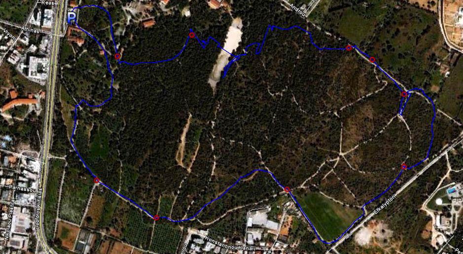
The trail from 1.7 km altitude
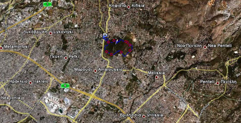
The trail from 10 km altitude
-Photos-
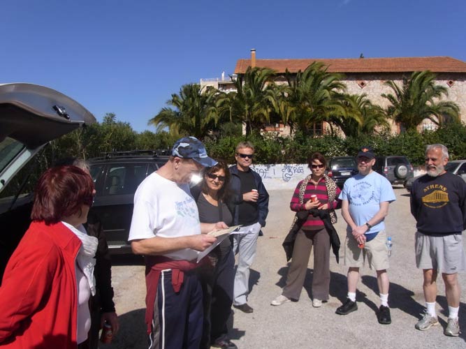
Mad Dog gives out 10km Marathon certificates from SEGAS
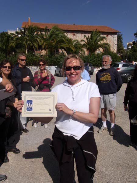
Coke Dealer's certificate
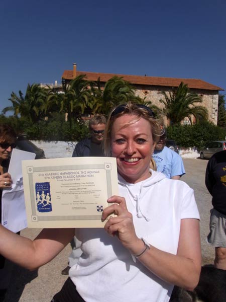
Plus she took one for her friend C.J. Lo who ran with us

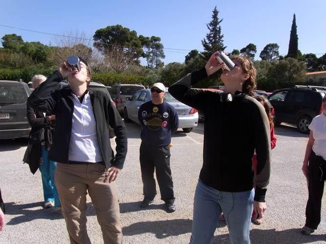
Cockbait (still) visiting from the Samurai H3, Tokyo, Japan

Shakes Beer visiting from the Toronto hash

Your Honour visiting from the Frankfurt hash
GM Note: These are the first visitors to get our new visitor's badge....
![]()
Visitor DIO's
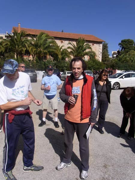
Rim Job - late again (gets the Oxy memorial down-down)
|
NOTES To
send the photo by e-mail as an attachment: MD Feb. 2006 |
Please use your "Back" Button (Top Left) to return to the previous page