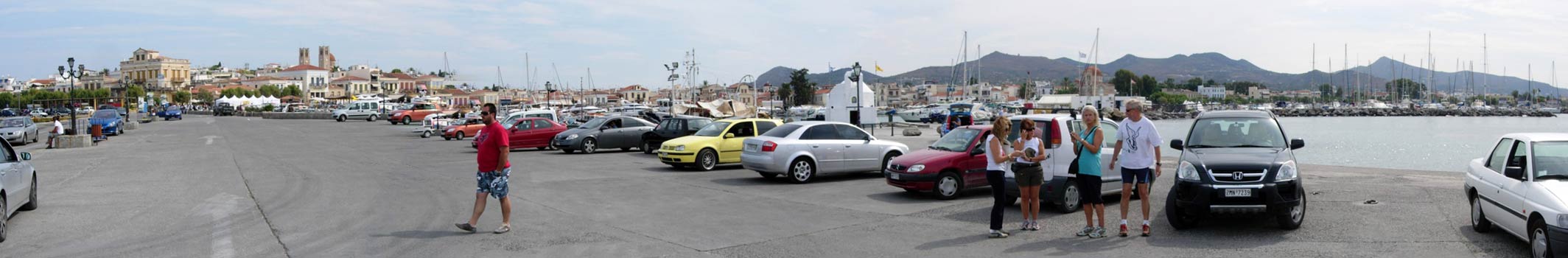
Island of Aegina
(Aegina town)
Run 1659 (Sunday 20th September 2009)
Hares: Strawberry 4-Skin & Mad Dog
Photographer: Mad Dog
NOTE: Use the horizontal scroll bar (bottom of screen) to view the panoramic photos.
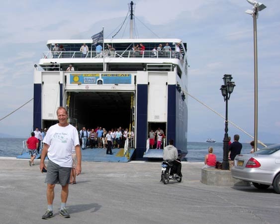
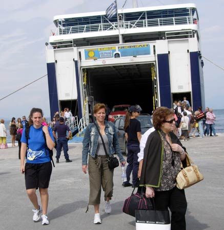
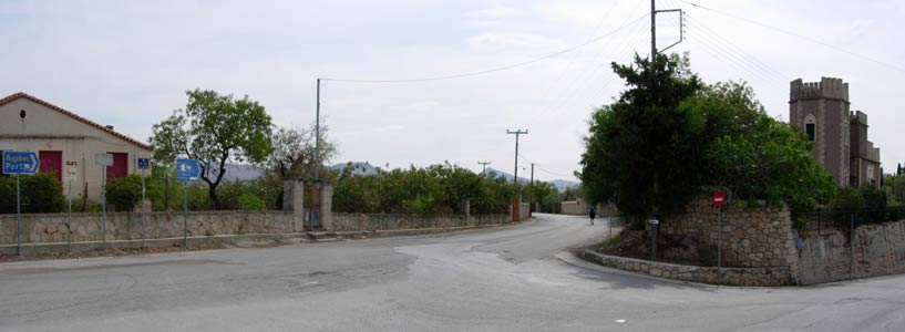
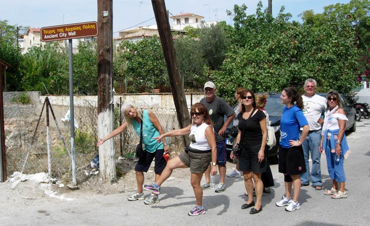
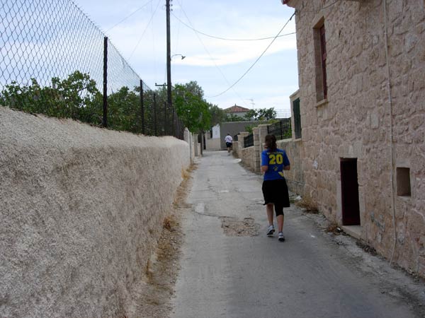
- T H E T R A I L -
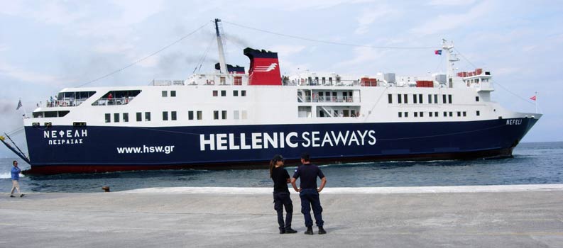
The lat/lon coordinates of the starting point (The port): 37°44'41.91"N, 23°25'33.01"E
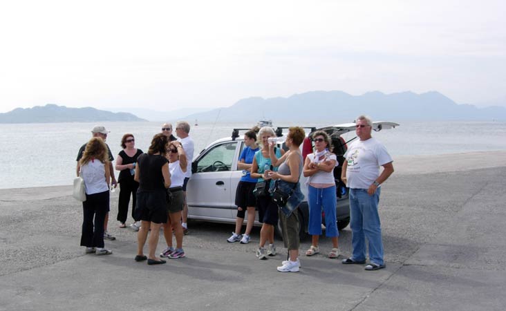
The lat/lon coordinates of the circle (The beach): 37°44'32.41"N, 23°25'49.46"E
Starting altitude: 1 metre above sea level
Trail
cartographic Length = 4.7 km
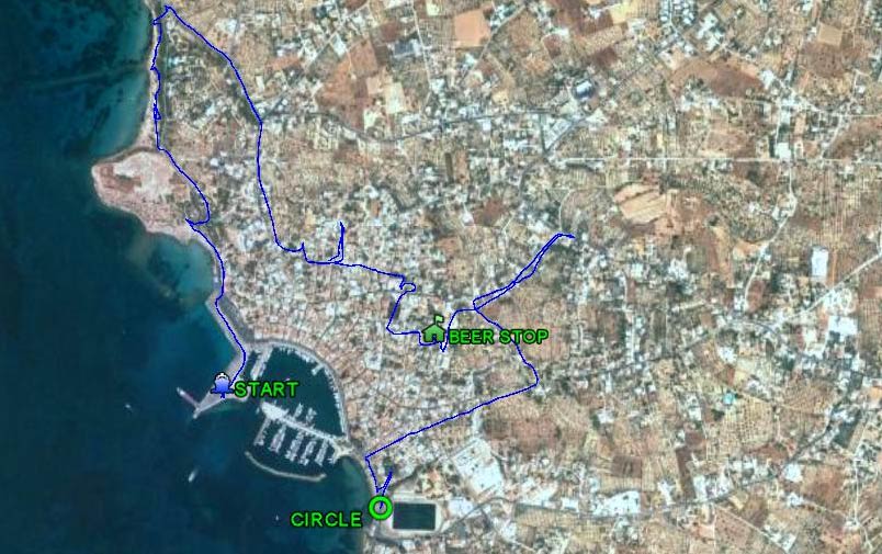
The GPS recorded trail
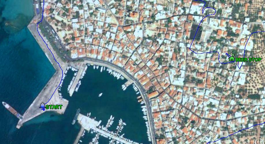
Closer view of the start & the beer stop (at Playboy2 & Flutterby's pad in Aegina town)
- T H E R U N -
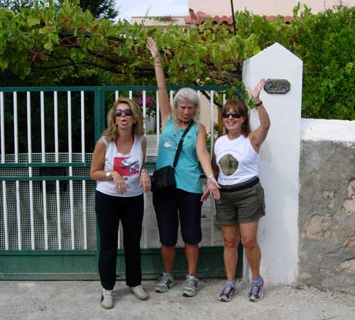
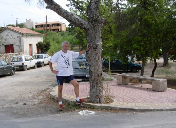
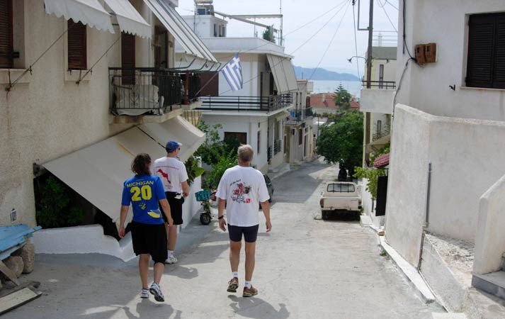
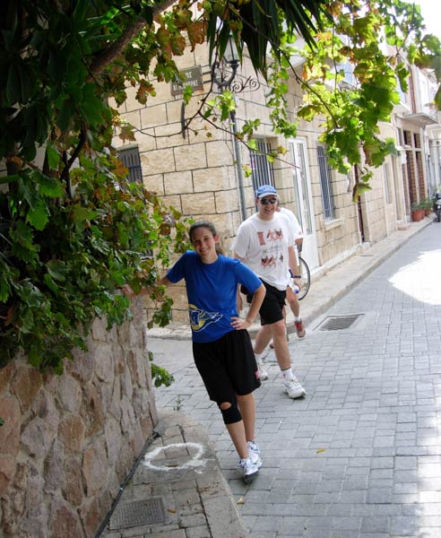
Harriettes behaving badly...Leanover, Clitoria & Doggie Style -
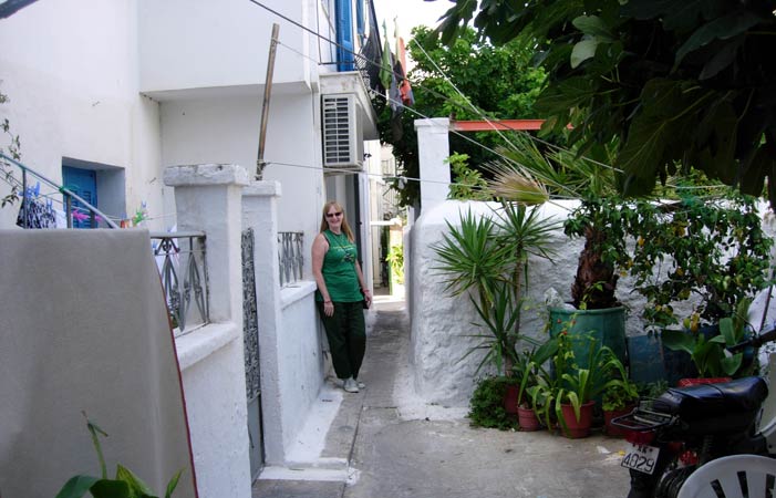
outside Strawberry & Leanover's house at 26A

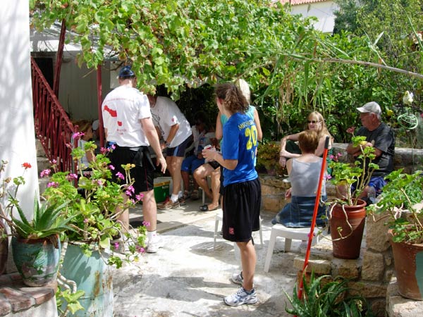
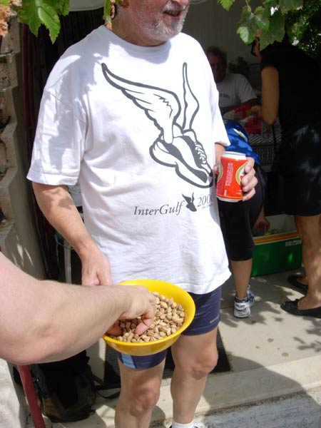
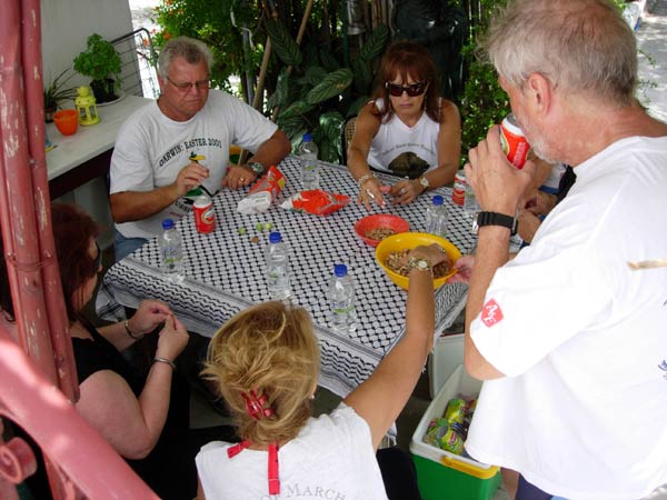
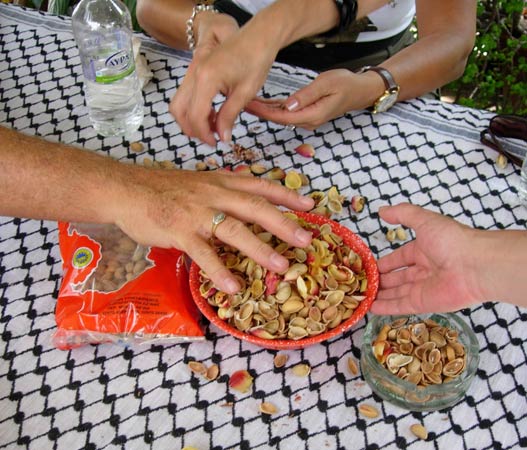
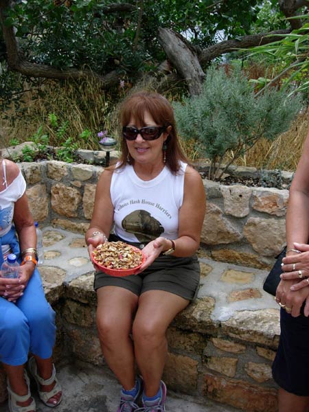
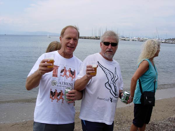
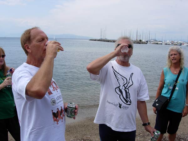
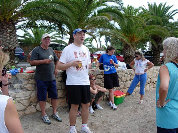
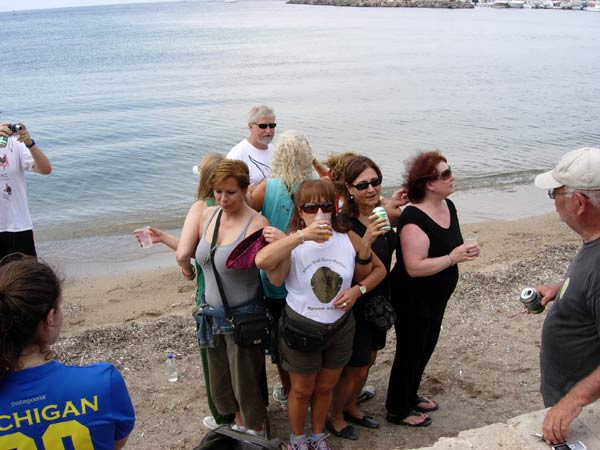
- THE BEER & PISTACHIO STOP -
- T
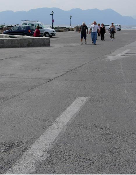
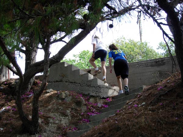
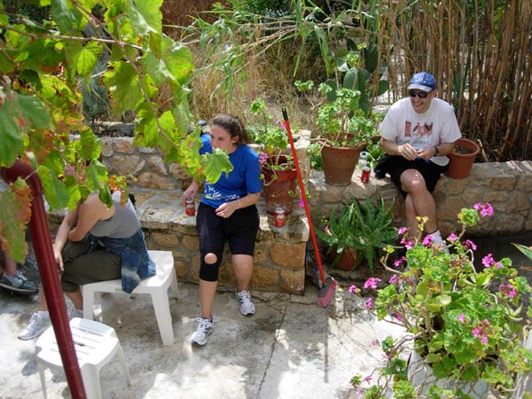
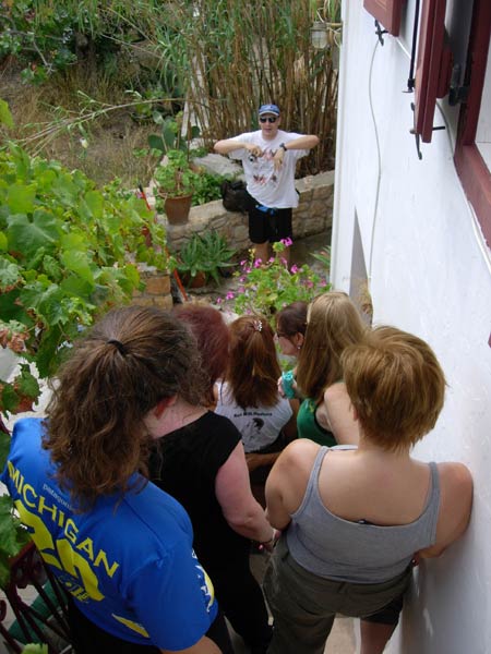
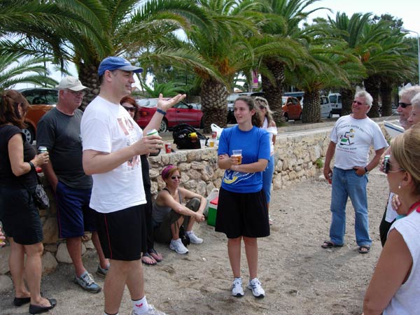
H E H A S H R E S U Μ E S -
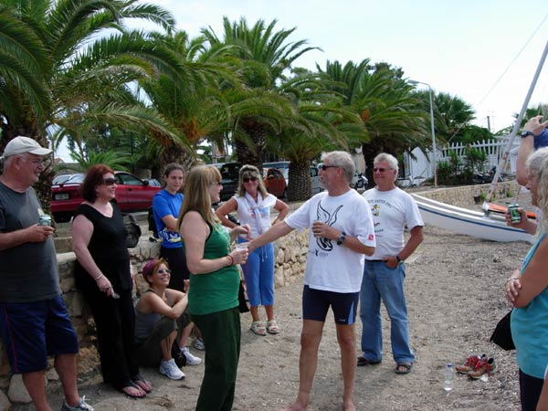
- T H E C I R C L E -
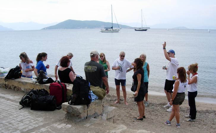
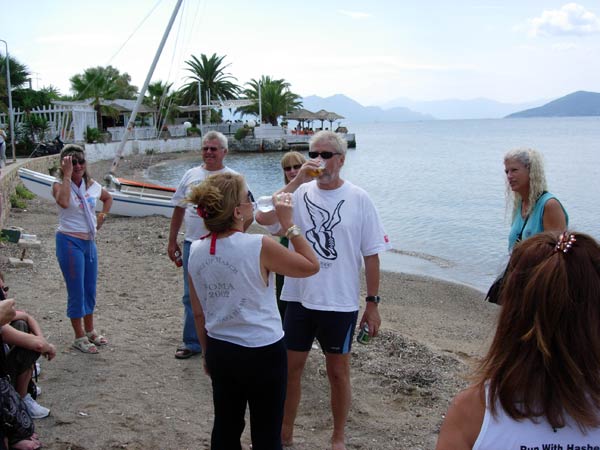
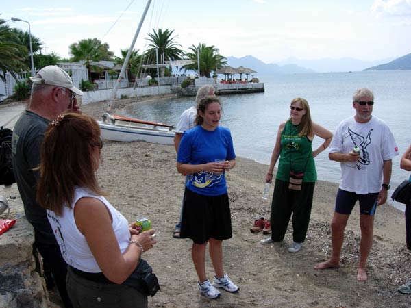
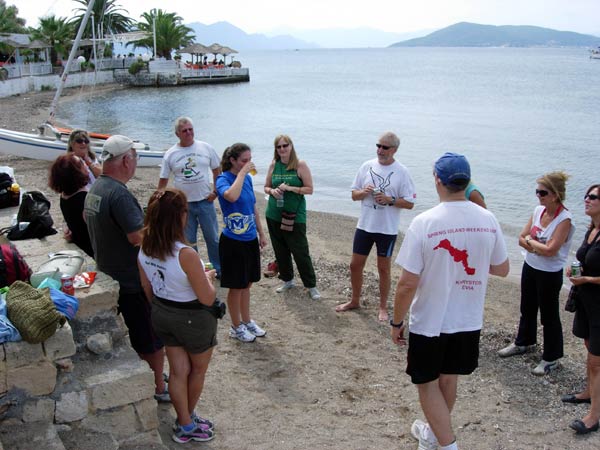
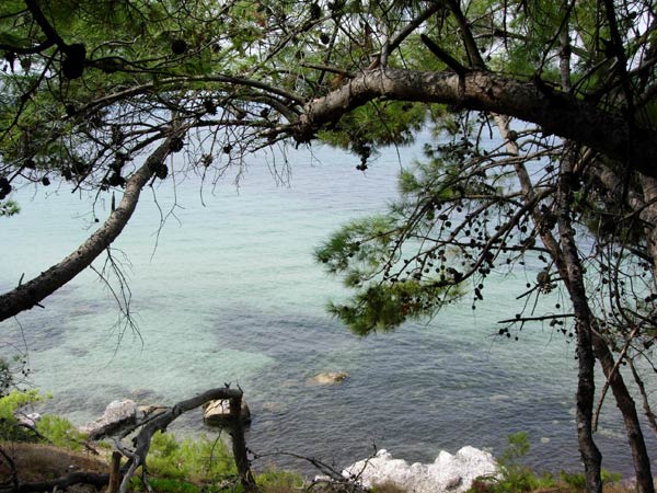
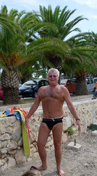
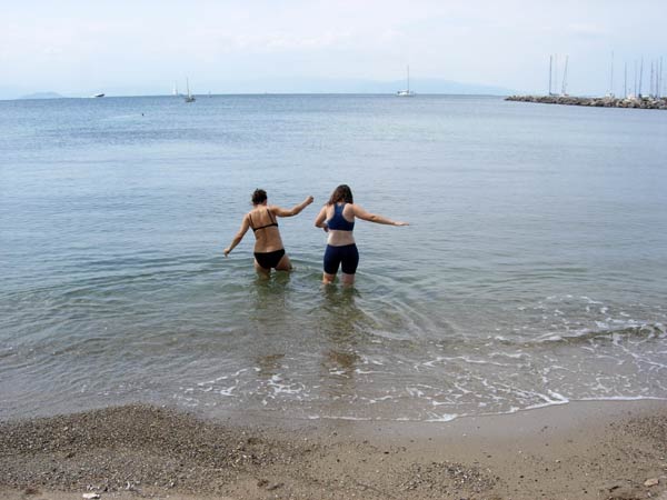
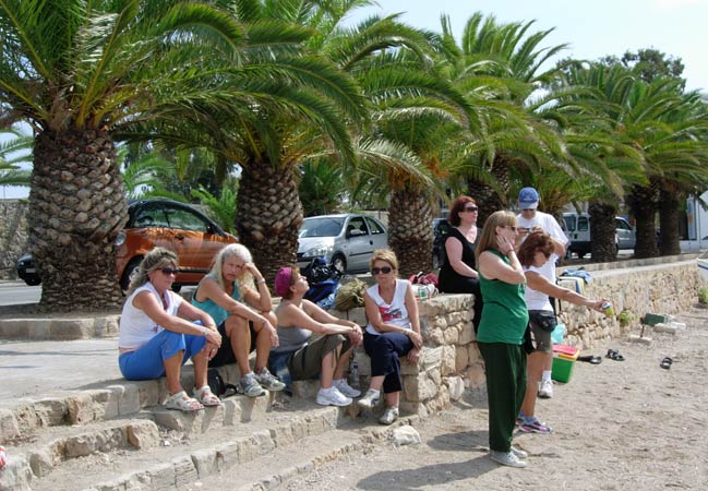
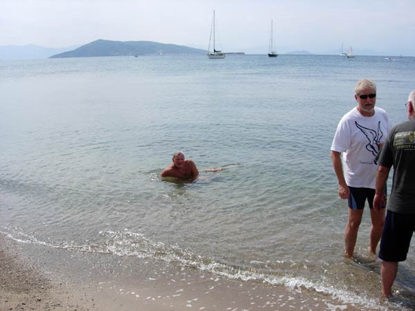
- T H E B E A C H -
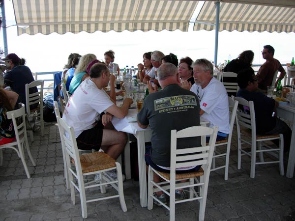
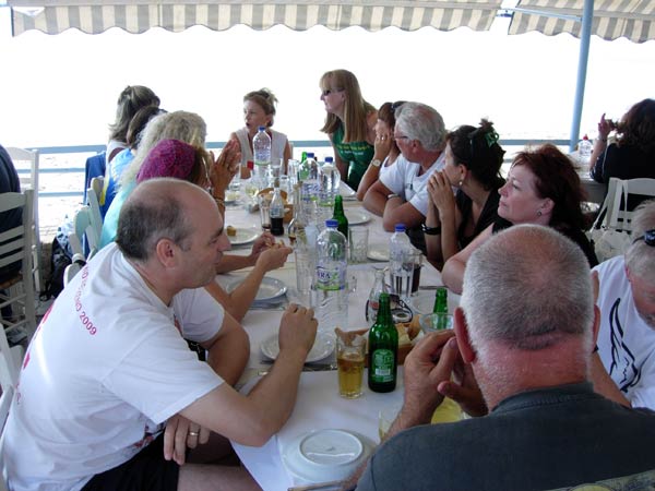
- T H E T A V E R N A -
|
NOTES To
send the photo by e-mail as an attachment: MD Feb. 2006 |
Please use your "Back" Button (Top Left) to return to the previous page