Run 1657 (Monday 7th September 2009)
Hare: The Bookmaker
Photographer: Mad Dog
The lat/lon coordinates of the starting point
& circle:
37°57'49.89"N, 23°54'1.66"E
Altitude: 135 metres above sea level
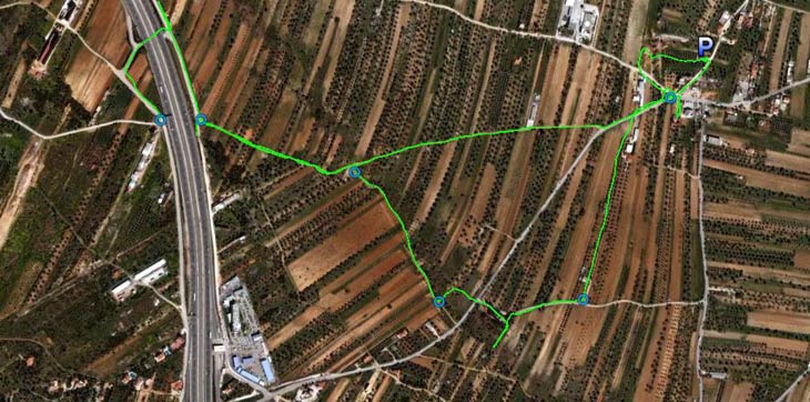
Some of the GPS-recorded trail from 2 Km altitude
(The last part of the trail is missing as MD left the runners & joined the walkers)
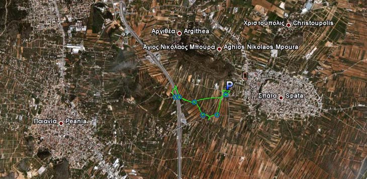
The same partial trail from 8.5 km altitude
- T H E R U N -
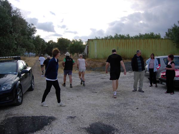
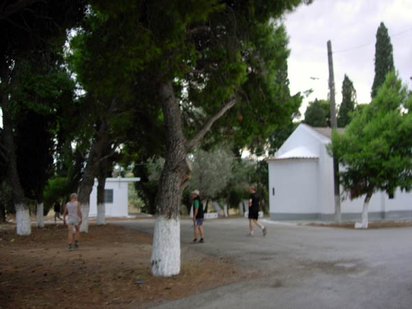
Off they go!
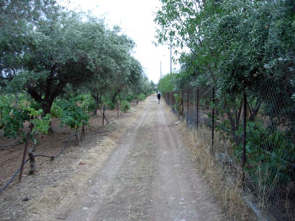
Running through vineyards & olive plantations
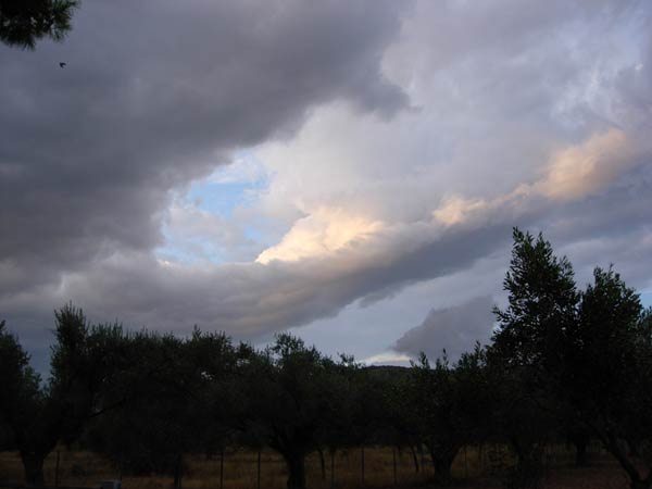
Dramatic cloud formation
A falsie
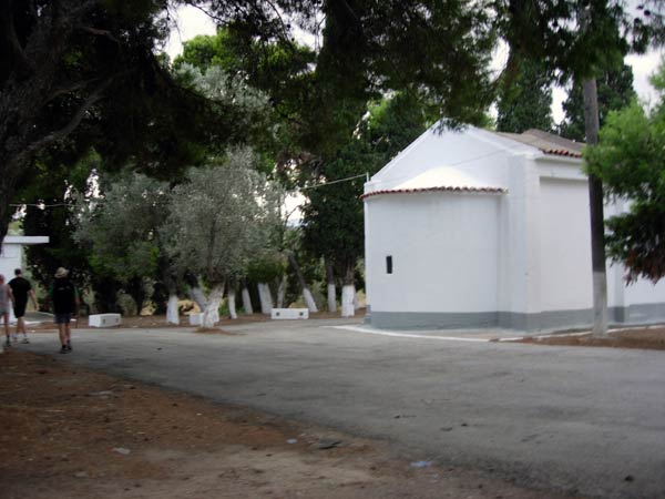
Back on trail
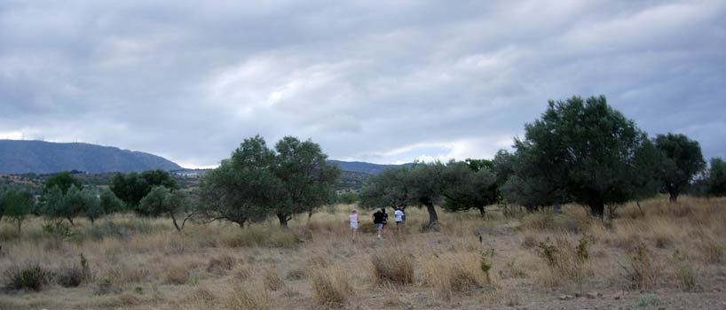
Run through the long dry grass
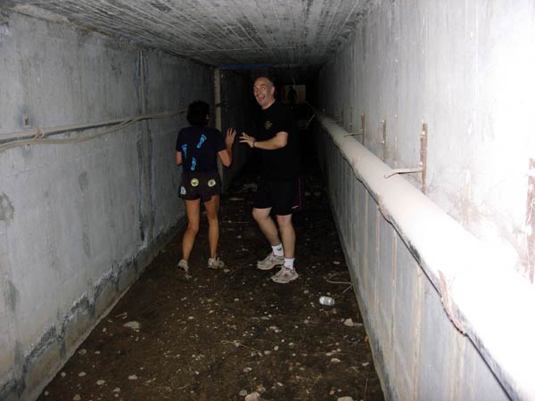
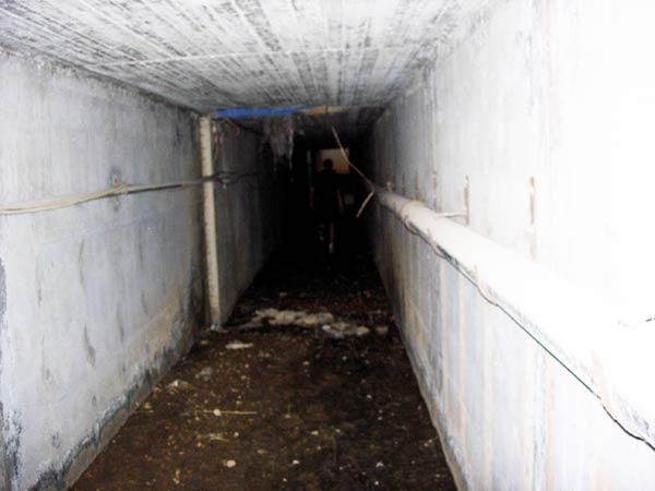
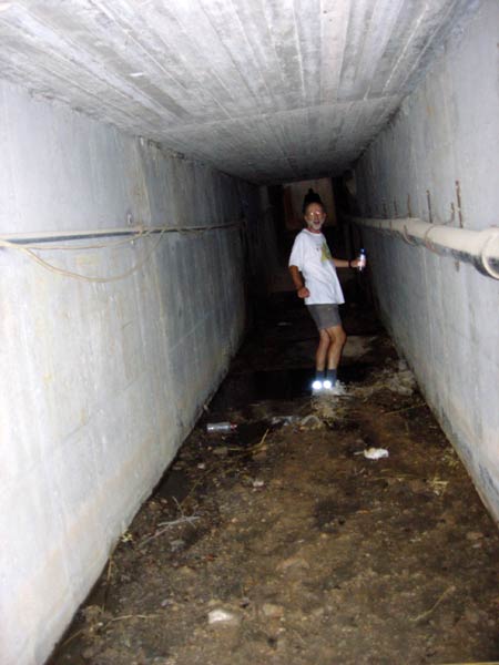
Passing under the Attiki Odos motorway through a storm drain-tunnel
Fair Cop & Fiery Tw*t in the dark
OnOn! through the mud
Whip It turns for a photo before negotiating a large muddy puddle

Fair Cop looking a bit weary
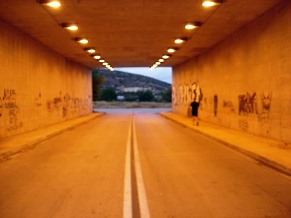
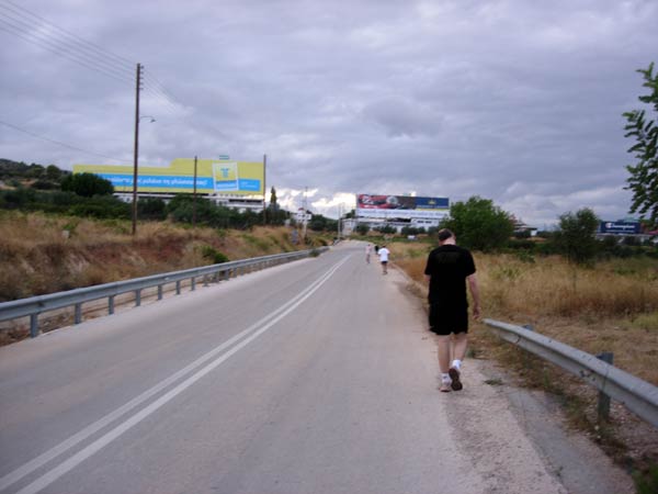
Back under the Attiki Odos - this time through a road tunnel
- T H E T A V E R N A -
"H NIKI", D. Konstandinou 3, Spata
|
NOTES To
send the photo by e-mail as an attachment: MD Feb. 2006 |
Please use your "Back" Button (Top Left) to return to the previous page