Kareas-
(North-Western Athens)
Run 1634 (Sunday 12th April 2009)
Hare:
Stress Cow
Photographer:
Mad Dog
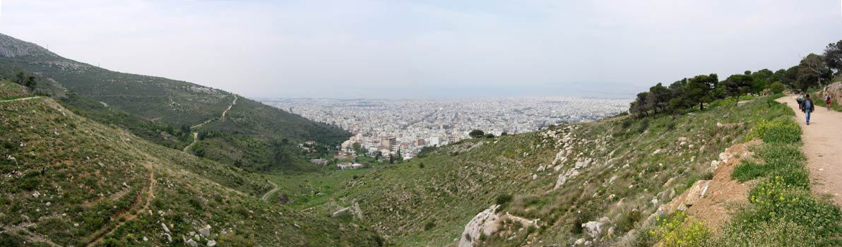
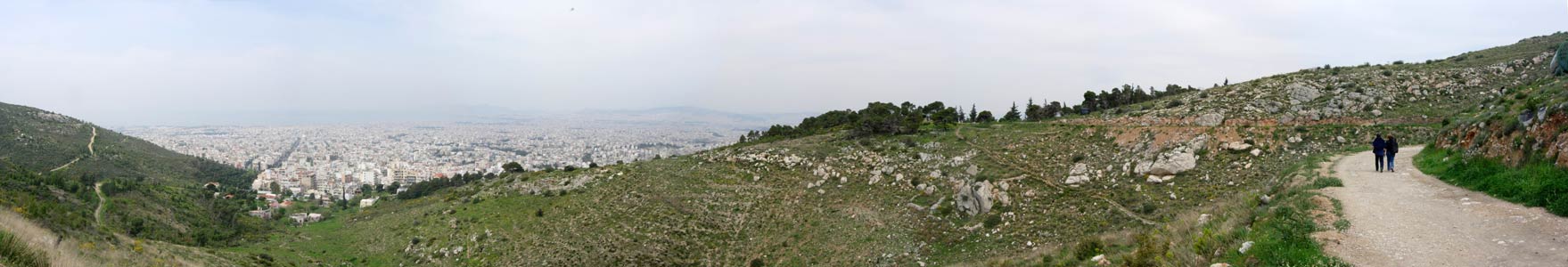
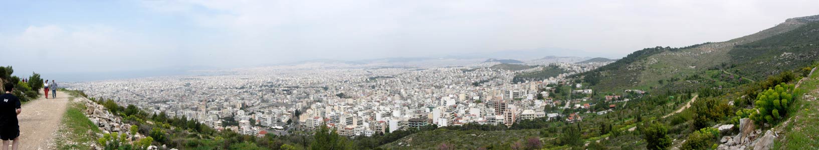
NOTE: Use the horizontal scroll bar (bottom of screen) to view the panoramic photos.
The
lat/lon coordinates of the starting point & circle:
37 56' 32.14'' N, 023 46' 39.35'' E
Altitude: 354 metres above sea level
Trail cartographic Length = -.- km
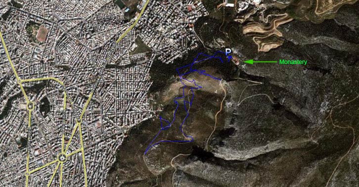
The trail from 4 km altitude.
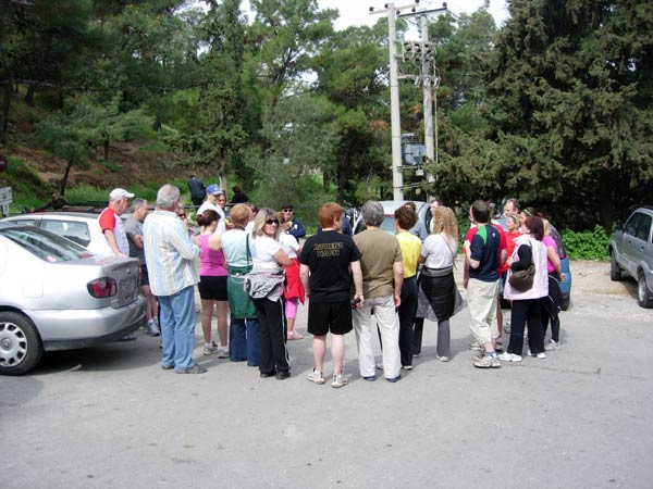
- T H E R U N -
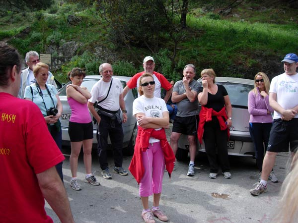
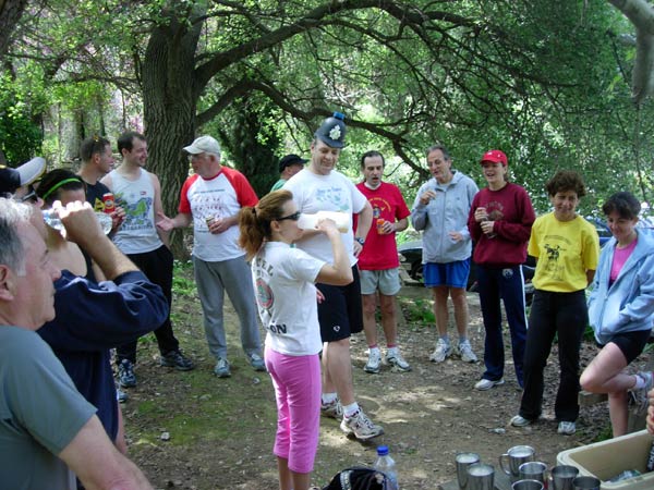
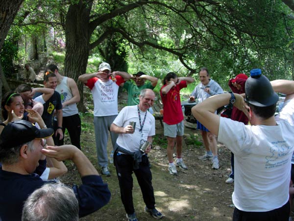
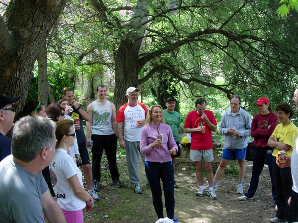
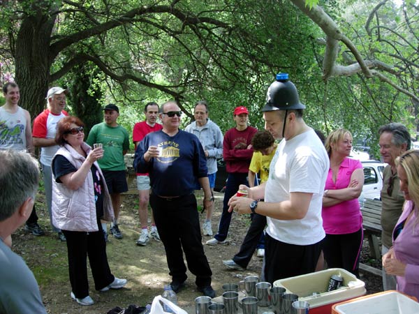
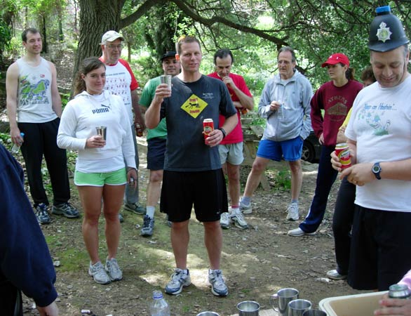
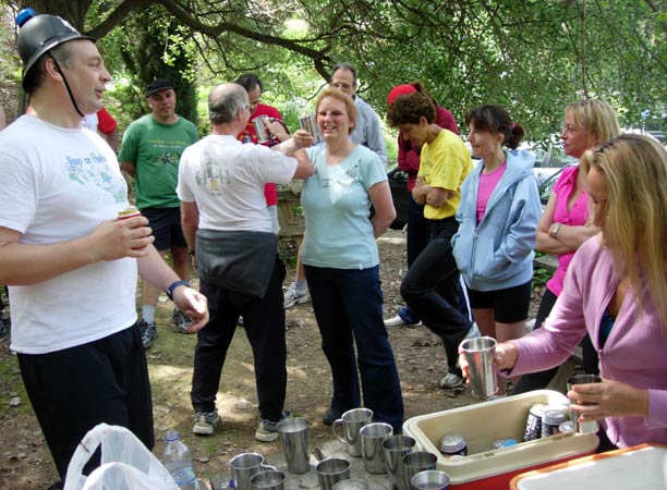
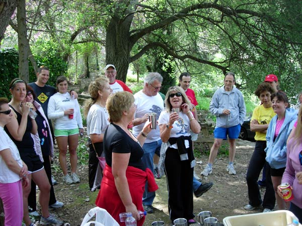
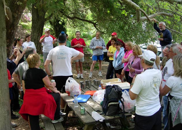
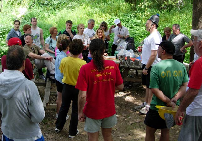
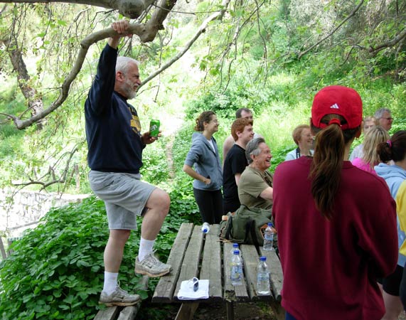
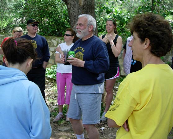
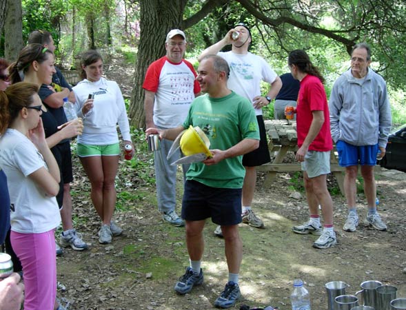
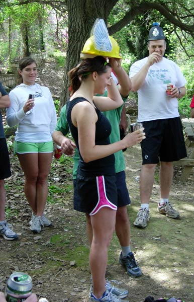
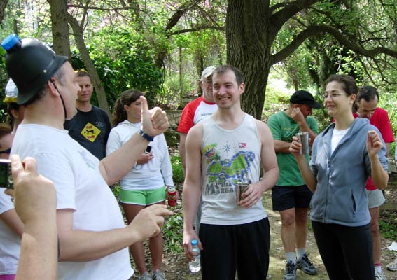
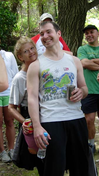
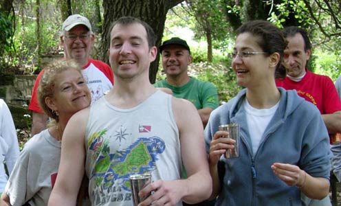
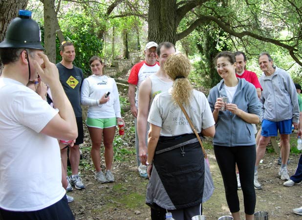
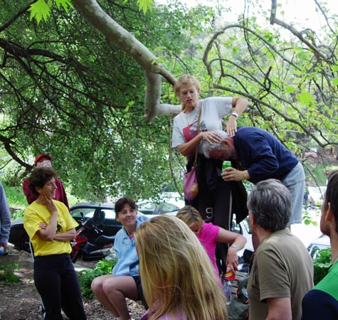
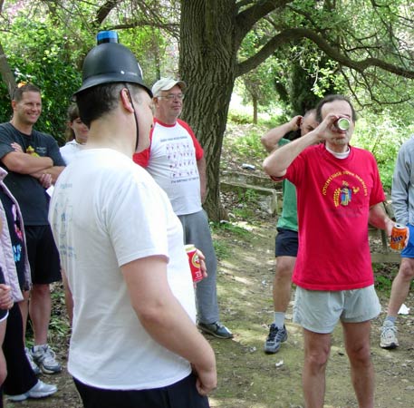
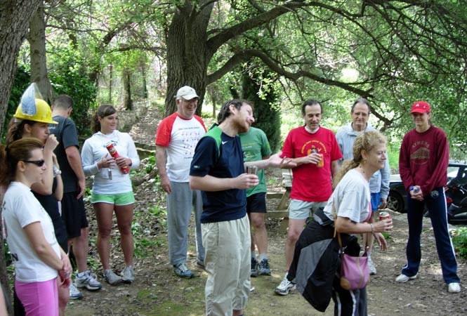
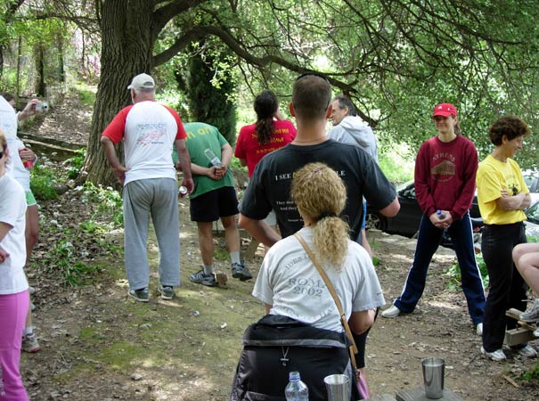
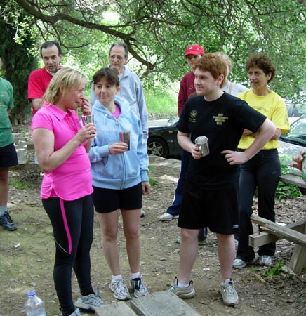
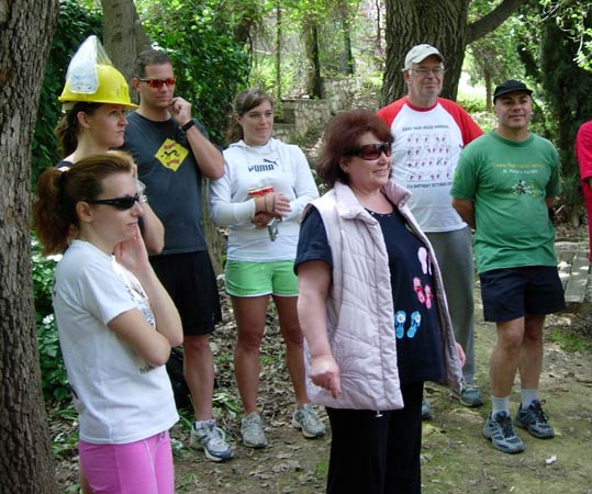
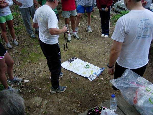
- T H E C I R C L E -
- T H E T A V E R N A -
Taverna Triandafillies,
L. Karea 73
210-766-3607
|
NOTES To
send the photo by e-mail as an attachment: MD Feb. 2006 |
Please use your "Back" Button (Top Left) to return to the previous page