Dionysos
German Cemetery
(Northern Athens)
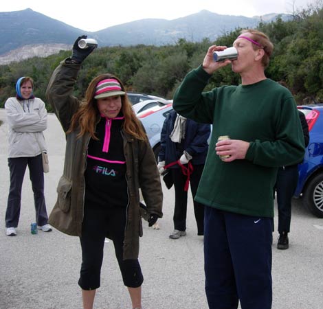
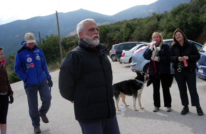
Run 1627 (Sunday 22nd February 2009)
Hares:
Kum Kwik & Coke Dealer
Photographer: Mad Dog
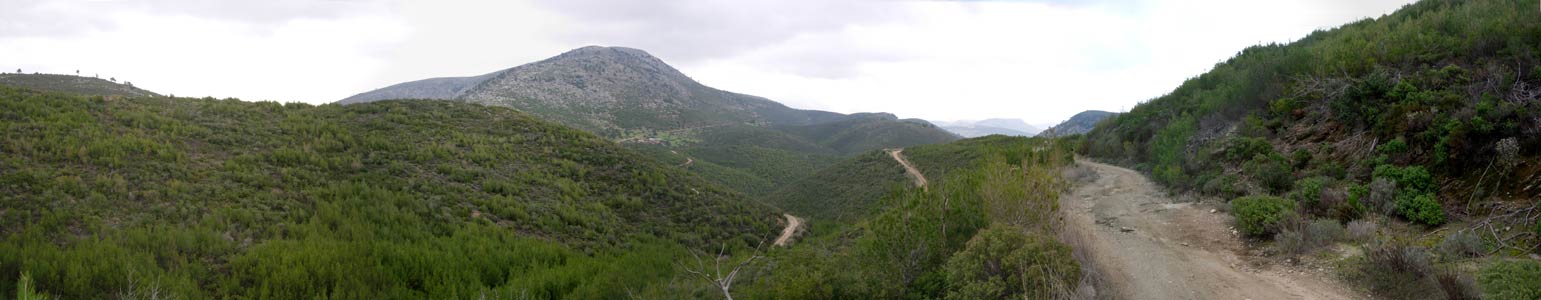
NOTE: Use the horizontal scroll bar (bottom of screen) to view the panoramic photos.
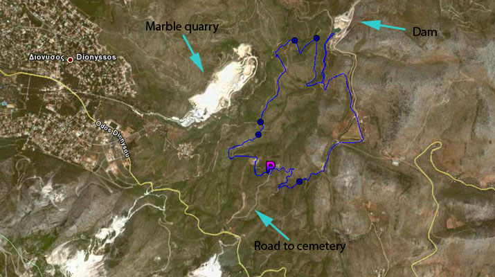
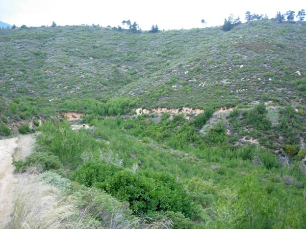
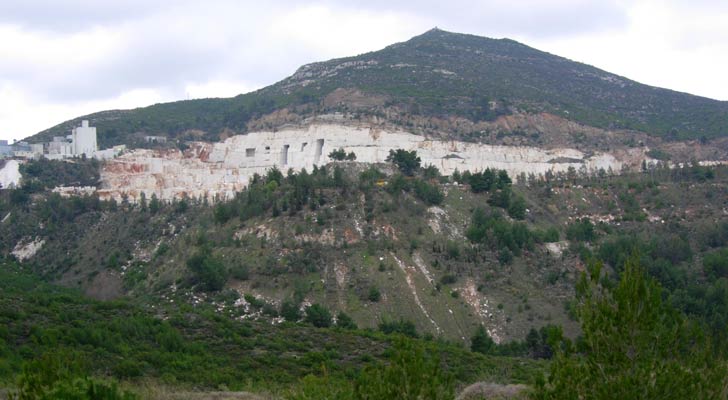
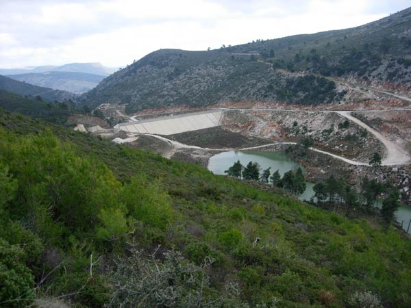
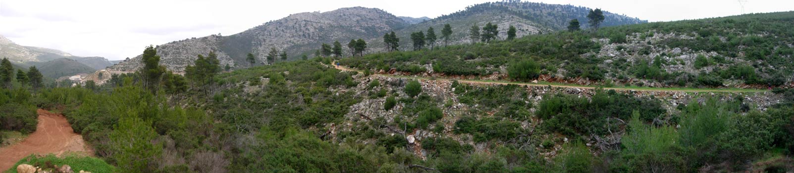
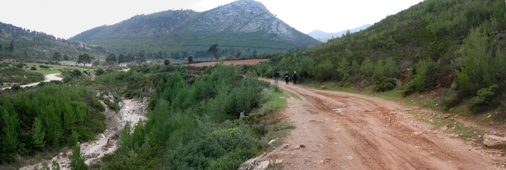
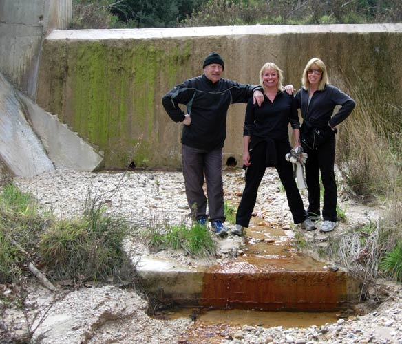
- T H E T R A I L -
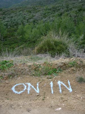
The starting point
& circle:
Latitude 38 05' 24.79'' North
Longitude 23 54' 59.85'' East
Altitude: 362 metres above sea level
Initial air temperature (19.00 hrs) = 4.0 deg.C
Trail
cartographic Length = 10.8 km
- T H E R U N -
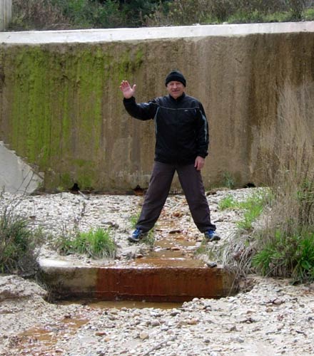
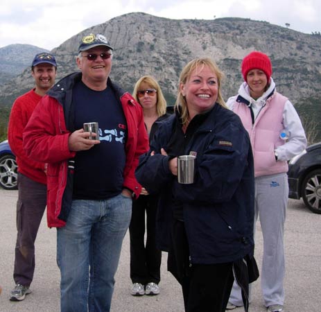
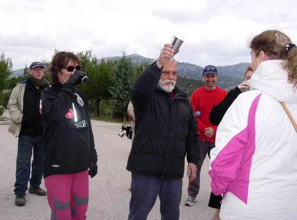
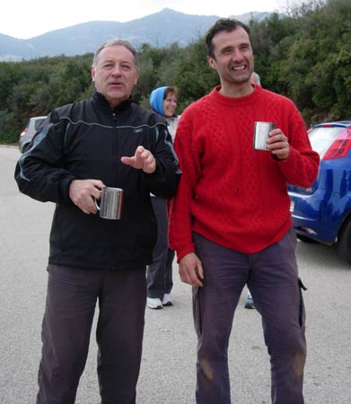
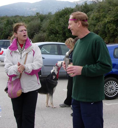
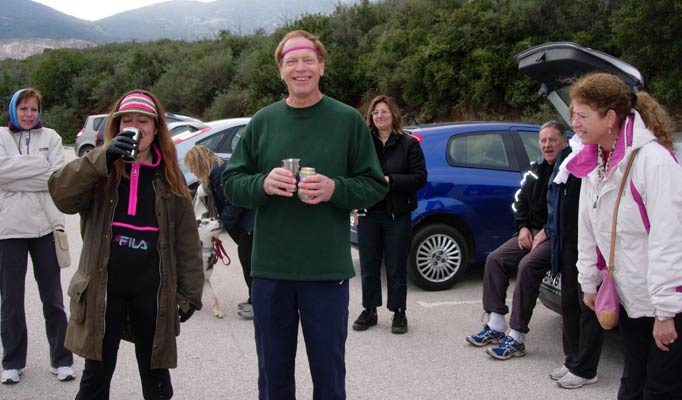
- T H E C I R C L E -
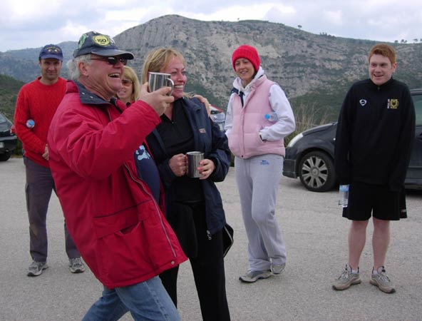


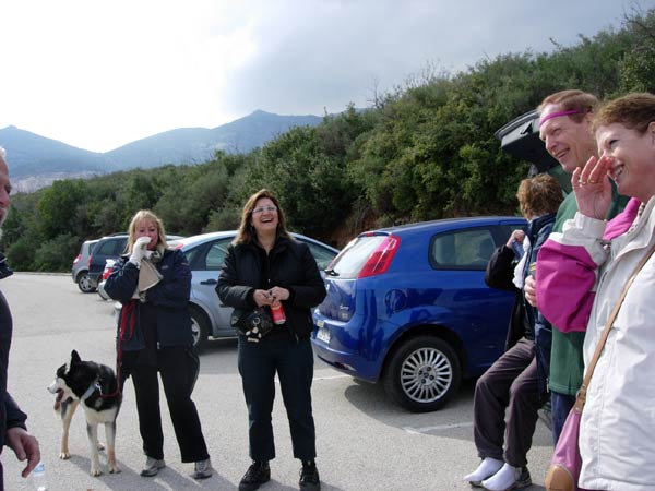
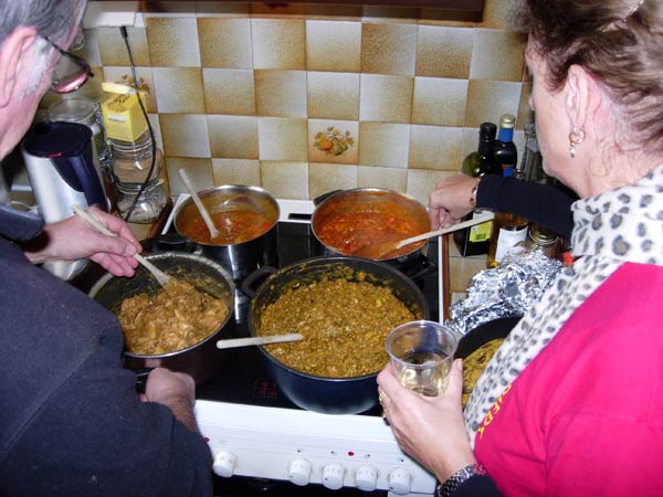
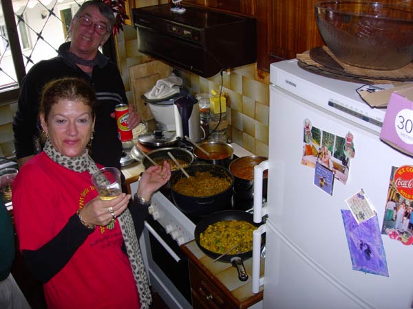
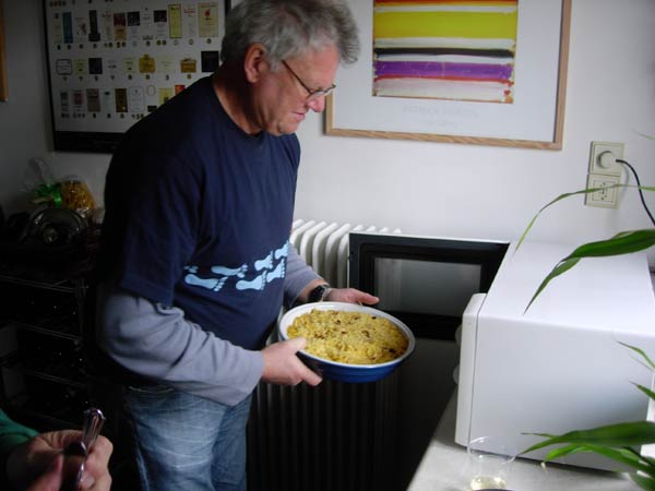
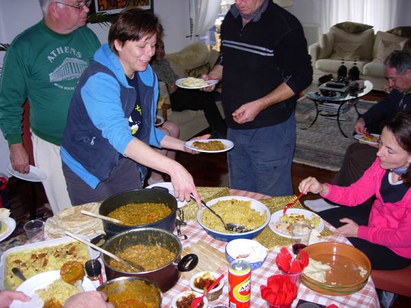
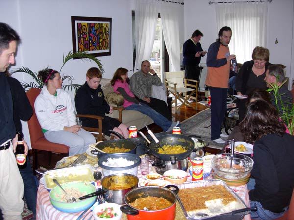
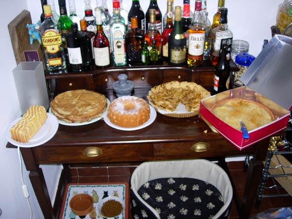
- The OnOn at Coke Dealer's Pad in Kifissia -
|
NOTES To
send the photo by e-mail as an attachment: MD Feb. 2006 |
Please use your "Back" Button (Top Left) to return to the previous page