Marathon Lake
(North-West of Athens)
Run 1616 (Sunday 7th December 2008)
-FOUNDER'S DAY RUN-
Hare: The Bookmaker
Photographer: Mad Dog
NOTE: Use the horizontal scroll bar (bottom of screen) to view the panoramic photos.
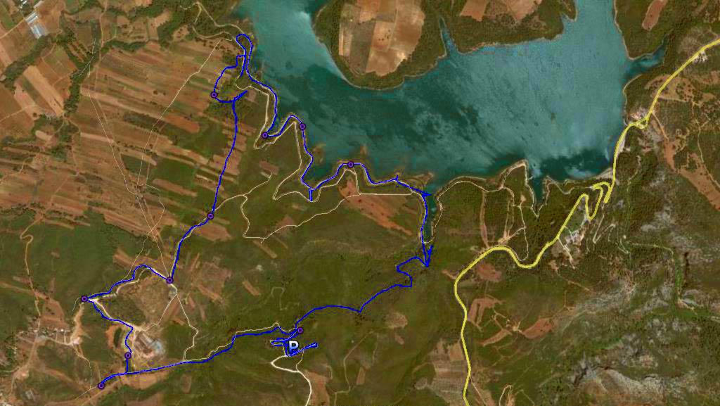
- T H E T R A I L -
The starting point
& circle:
Latitude 38 09' 26.62'' North
Longitude 23 53' 09.94'' East
Altitude: 326 metres above sea level
Trail cartographic Length = 9.52 km
The trail from 3.5 Km up
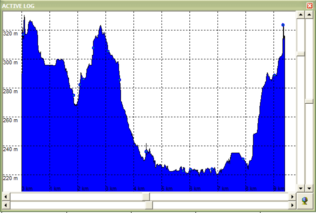
Altitude profile of the trail
(Note the section along the shore of the lake from approx. 5 to 7 km)
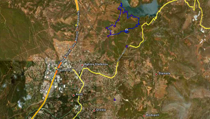
The trail from 10 Km up.
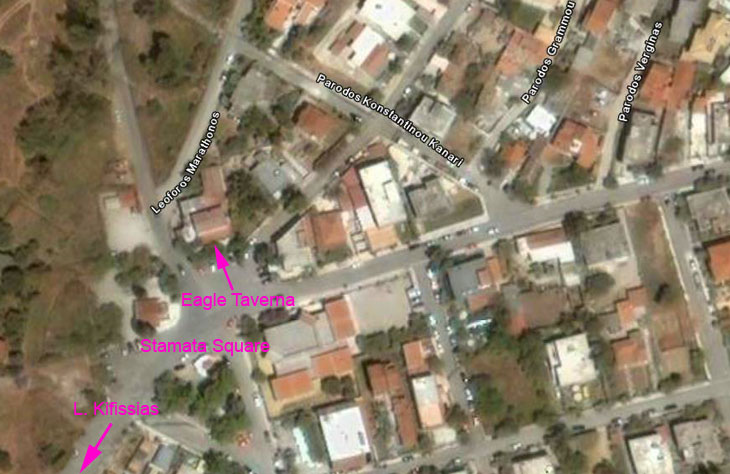
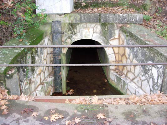
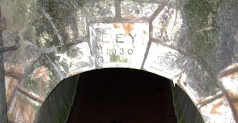
The Eagle Taverna in Stamata (Location: 38 07' 30.03'' N, 23 52' 44.06'' E )
- T H E R U N -
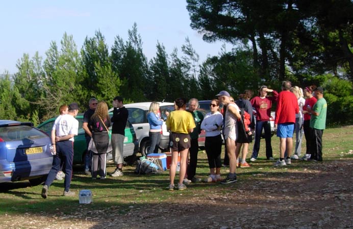
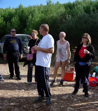
Before the hash
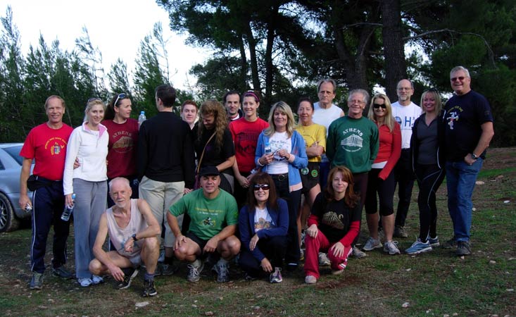
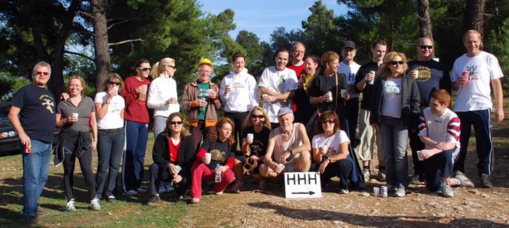
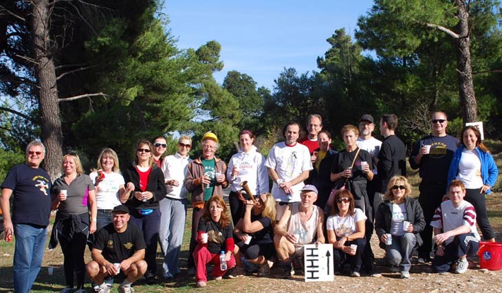
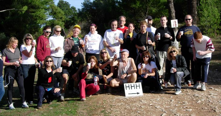
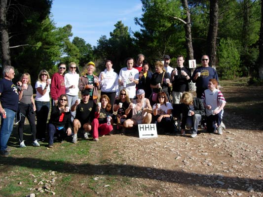
First Founder's Day group photo
(Scarlet Pimp seems to have an orientation problem)
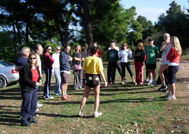
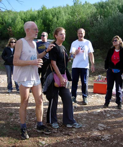
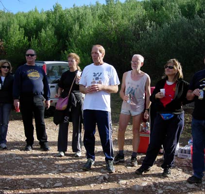
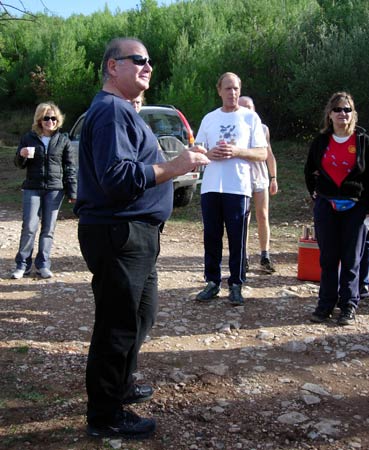
Pre-run circle
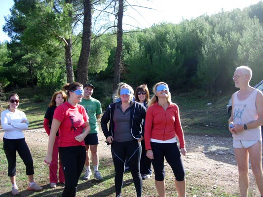
Alex, Coke Dealer & Absolut had walked the trail on Saturday
(So should be able to do it blindfold. Bookmaker provided the masks)
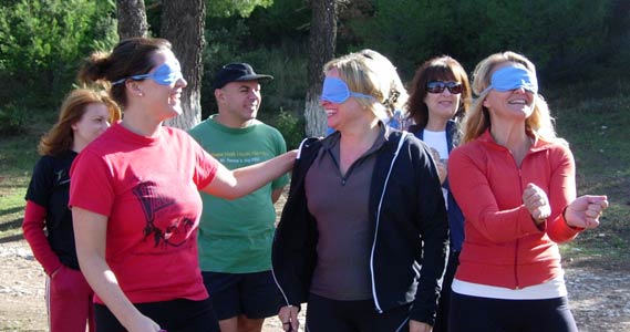
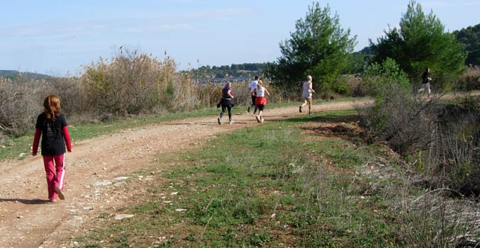
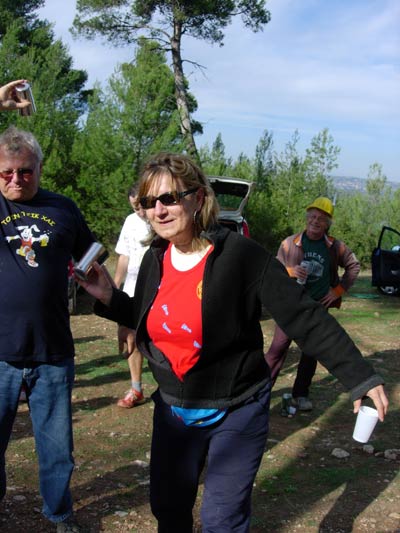
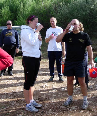
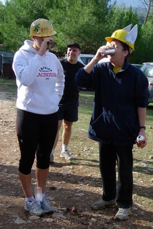
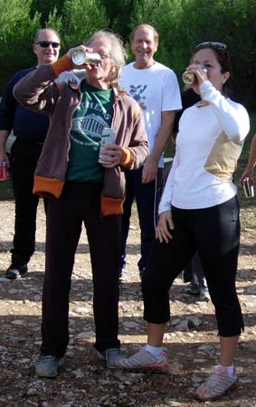
Just a bit of hashing fun!
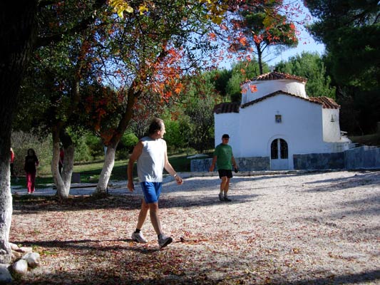
Ag.Triada church
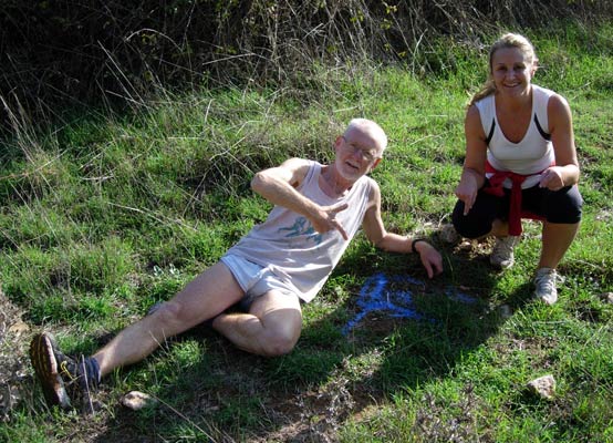
The Bookmaker (the hare) proudly shows his falsie (F) with Absolut
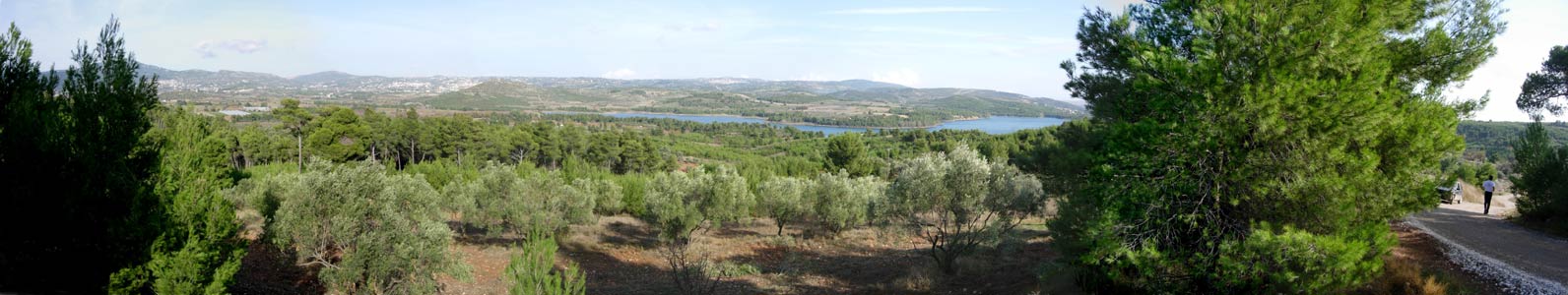
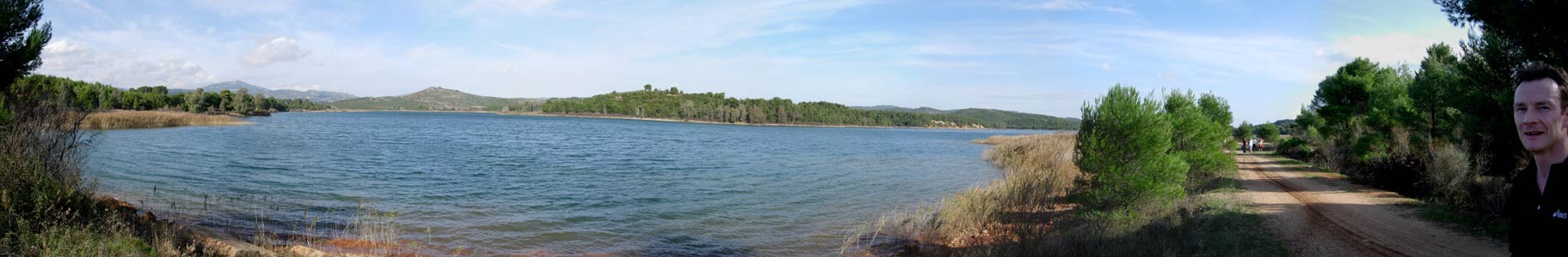
Panoramic image showing Marathon Lake
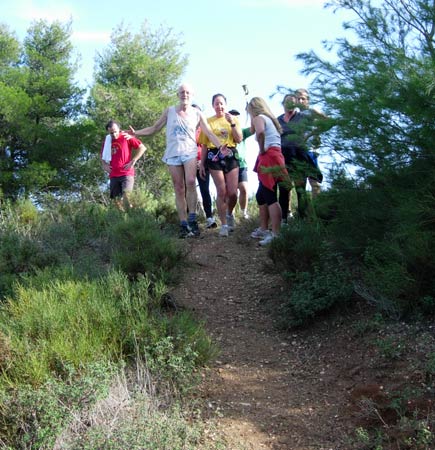
Returning from a falsie

On down and around!
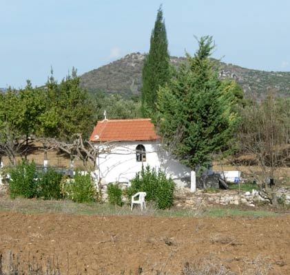
Chapel in the fields
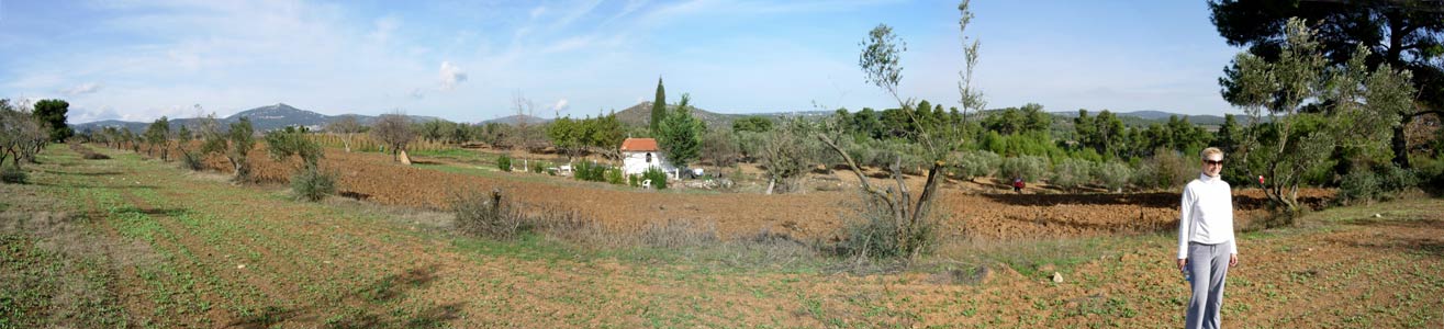
Panoramic view of an agricultural area near the lake
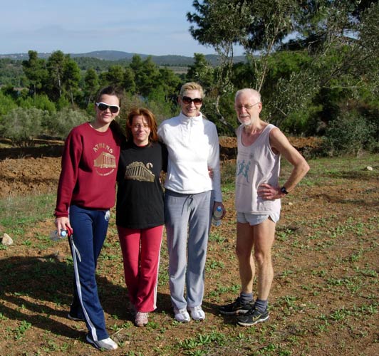
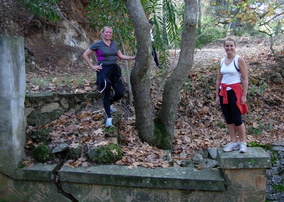
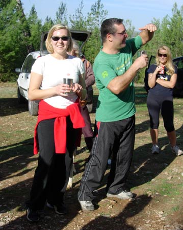
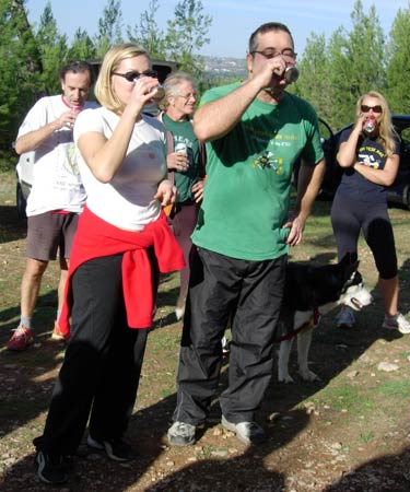
The Bookmaker with some of our harriettes
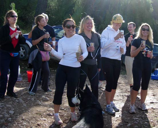
- FOUNDER'S DAY PHOTOS -
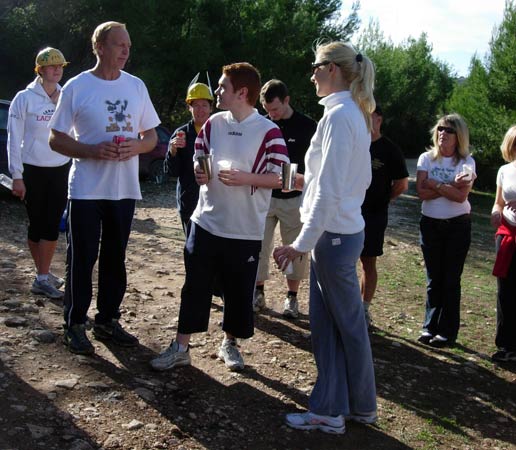
- T H E C I R C L E -

|
NOTES To
send the photo by e-mail as an attachment: MD Feb. 2006 |
Please use your "Back" Button (Top Left) to return to the previous page