Varibobi
(North-Eastern Athens)
Run 1615 (Sunday 30th November 2008)
Hare: Mountain Goat
Photographer: Mad Dog
- T H E T R A I L -
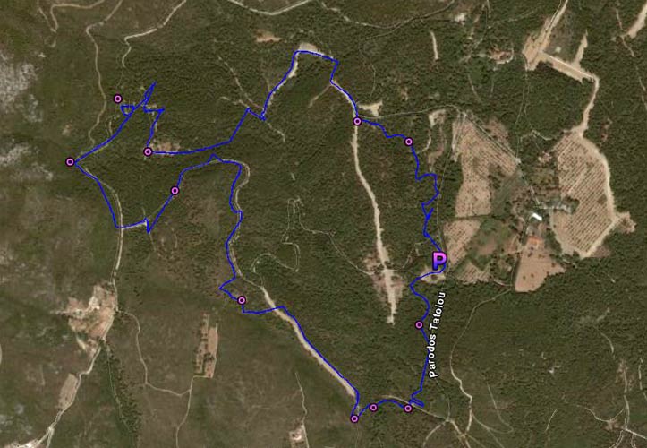
The starting point
& circle:
Latitude 38 09' 17.89'' North
Longitude 23 47' 29.52'' East
Altitude: 452 metres above sea level
Trail cartographic Length = 7.2 km
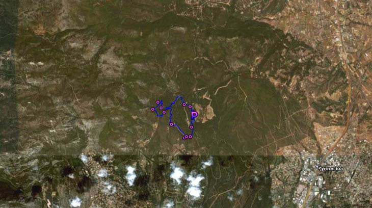
The trail from 12Km up
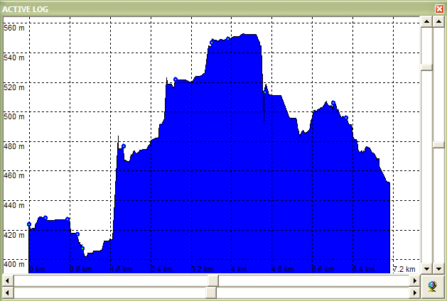
Altitude graph for the trail
- T H E R U N -

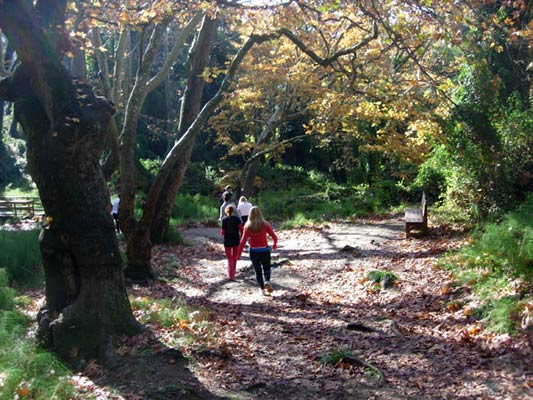
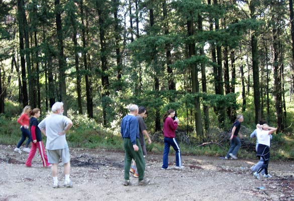
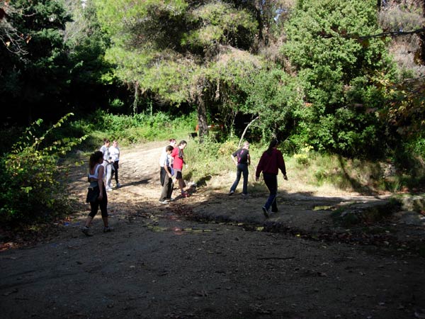
Hashers start to congregate before the run.
The day was bright & sunny.
(We had a large turnout for the AH3 - approx. 25 hashers)
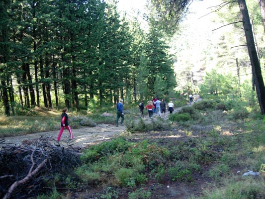
Off they go!
Wild beauty at a check
On On!
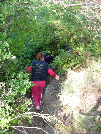
Down into the undergrowth
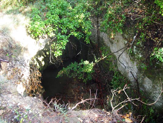
Mountain goat warned "avoid falling into this hole" (part of the river bed)
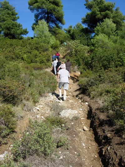
On Up!
Check
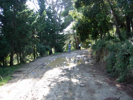
Muddy puddle
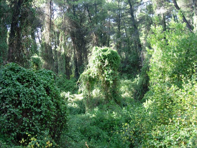
Greek jungle
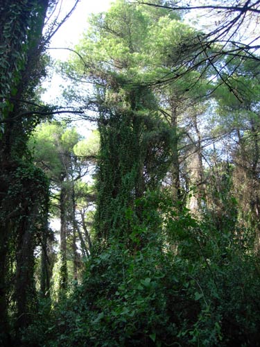
Ivy with a head for heights
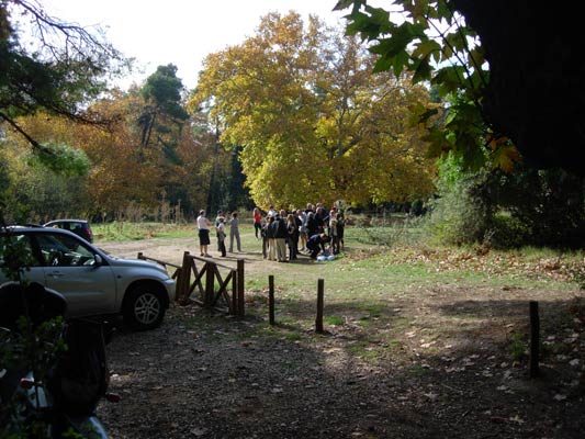
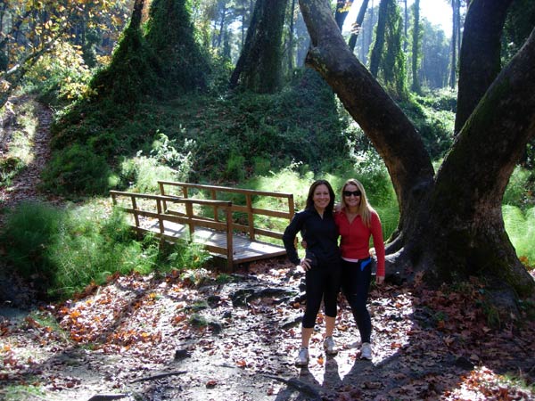
Chatting after the run
|
NOTES To
send the photo by e-mail as an attachment: MD Feb. 2006 |
Please use your "Back" Button (Top Left) to return to the previous page