Mount Pendeli
(Northern Athens)
Run 1614 (Sunday 23rd November 2008)
Hare:Floppy Dick
Photographer: Mad Dog
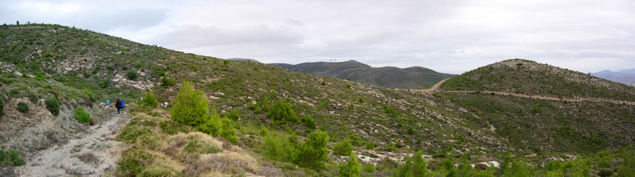
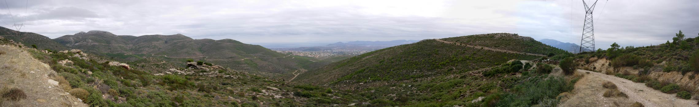
NOTE: Use the horizontal scroll bar (bottom of screen) to view the panoramic photos.
- T
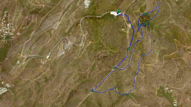
H E T R A I L -
The starting point
& circle:
Latitude 38 03' 39.51'' North
Longitude 23 53' 45.56'' East
Altitude: 702 metres above sea level
Trail cartographic Length = 7.4 km
From 3 Km up
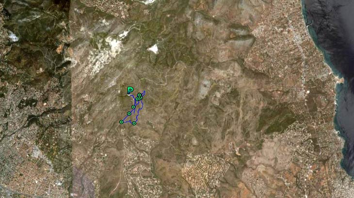
From 14 Km up
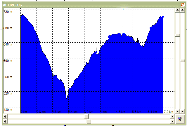
The trail altitude profile
Showing the 200m down (700m down to 500m) and 200m back up to the parking area.
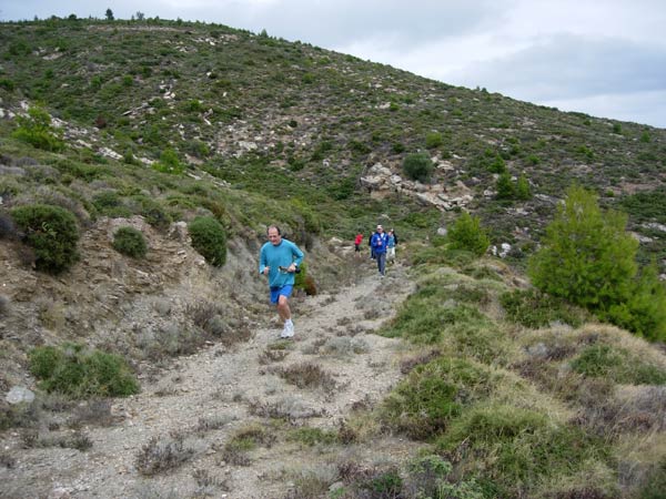
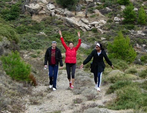
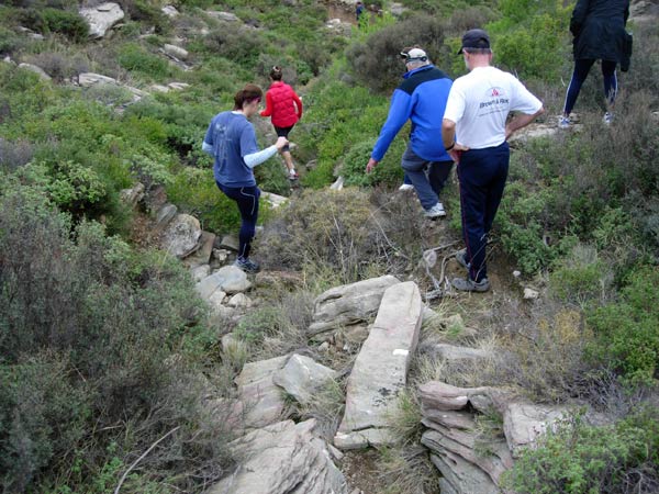
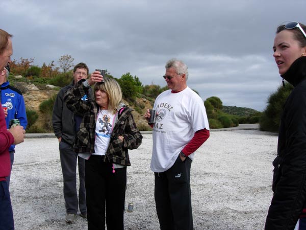
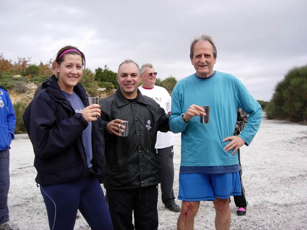
- T H E R U N -
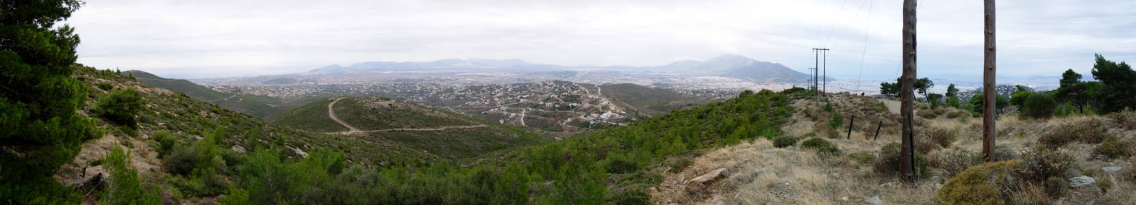
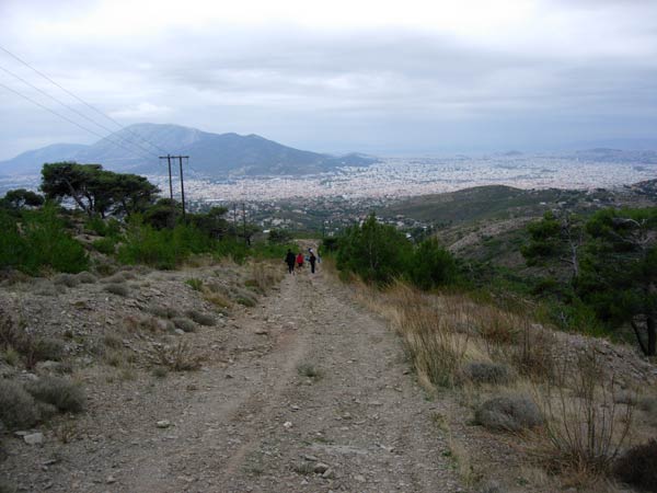
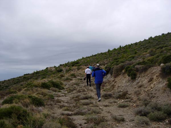

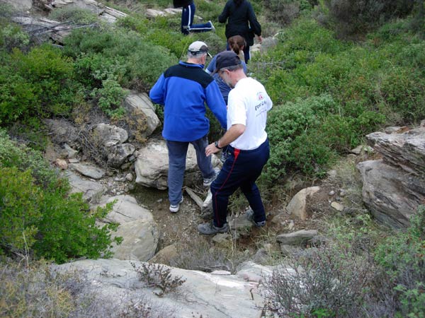
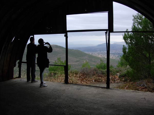
Location: 38 03' 36.83'' N, 23 54' 03.86'' E at 616 metres.
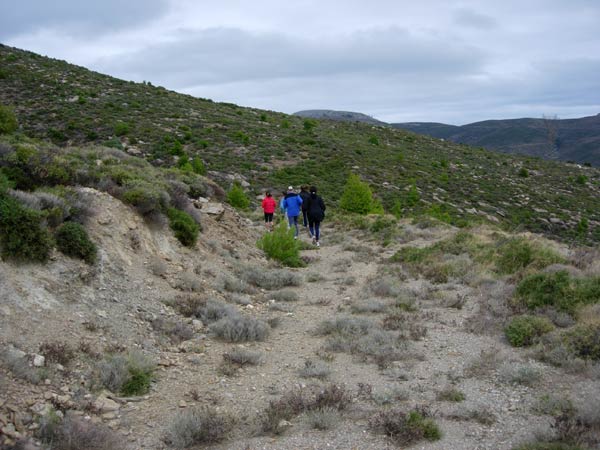
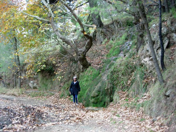
Location: 38 03' 40.24'' N, 23 54' 02.80'' E, at 650 metres
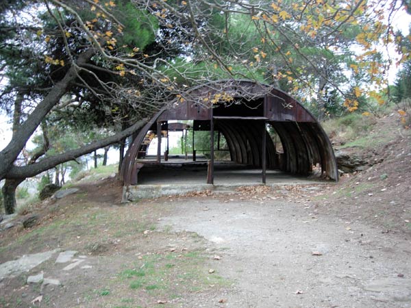
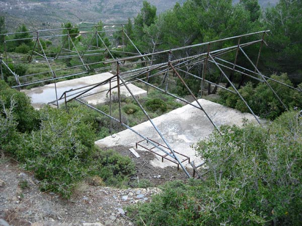
Location: 38 03' 35.37'' N, 23 54' 01.29'' E, at 659 metres
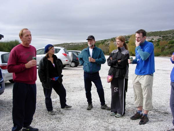
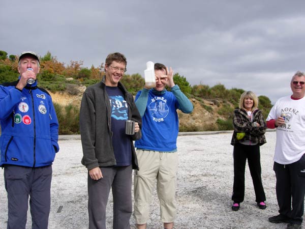
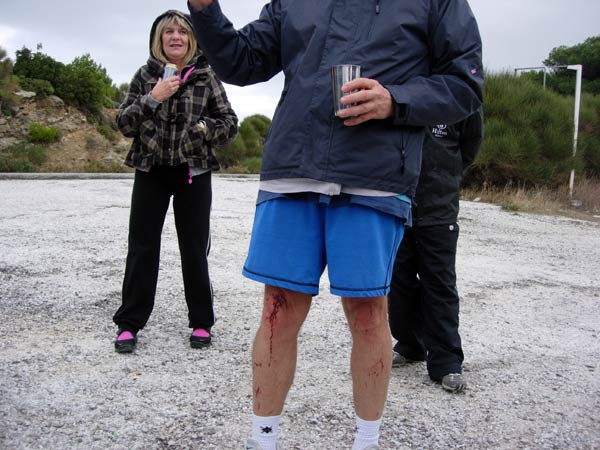
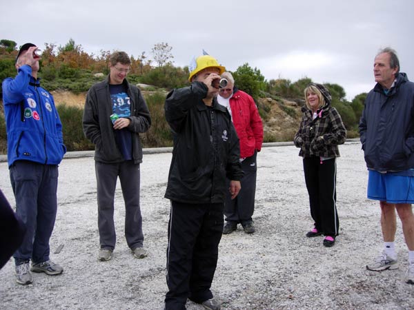
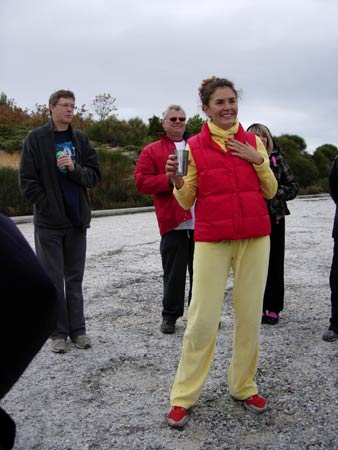
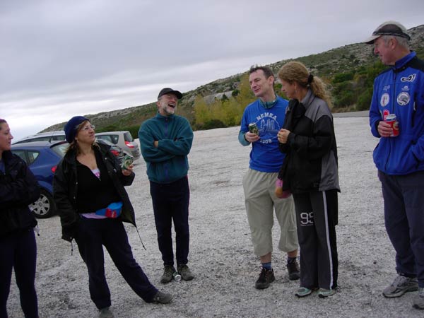
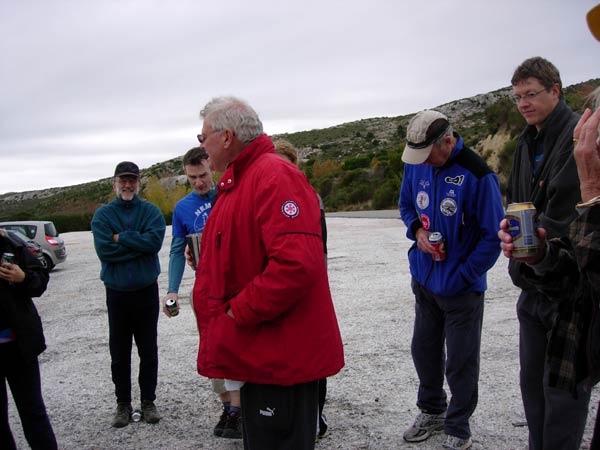
- T H E C I R C L E -
|
NOTES To
send the photo by e-mail as an attachment: MD Feb. 2006 |
Please use your "Back" Button (Top Left) to return to the previous page