Run 1594 (Monday 14th July 2008)
Hare:
Hamish McTavish Esq.
Photographer: Mad Dog
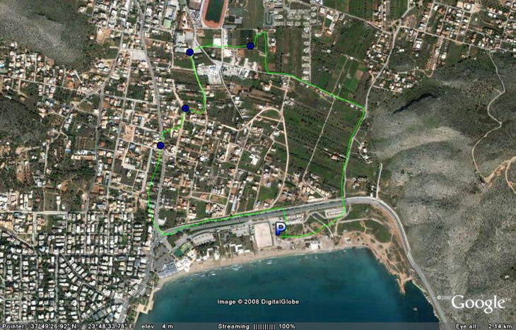
- T H E T R A I L -
The starting point
& circle:
Latitude 37 49' 15.86'' North
Longitude 23 48' 38.04'' East
Altitude: 3 metres above sea level
Trail cartographic Length = 3.8 km
- T H E R U N -
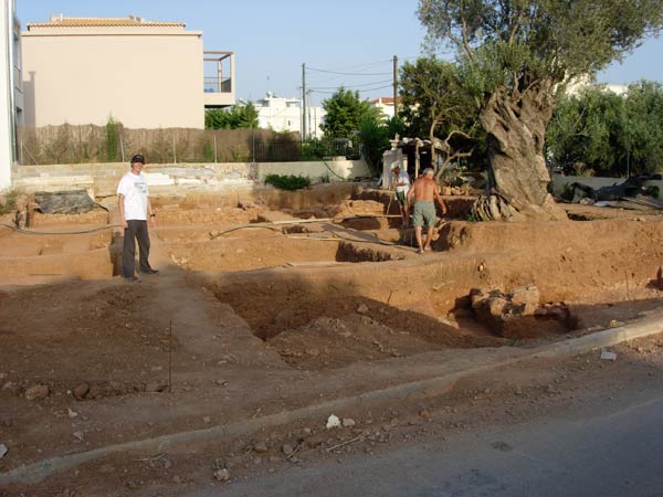
Archaeological discovery prevents unfortunate owner from building a house on his plot.
(
Floppy Dick poses for the camera)
Note ancient olive tree.
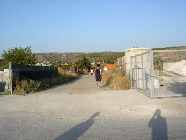
Meningitis with hash horn heads for the hills
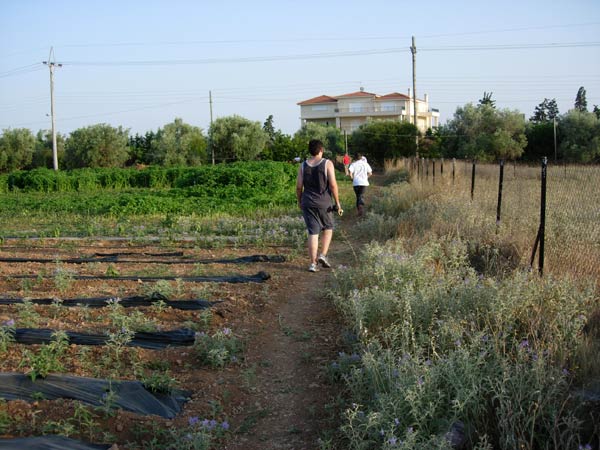
Running through agricultural land
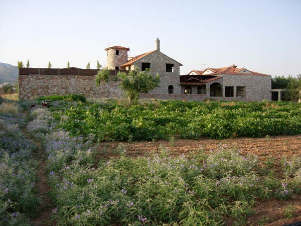
Farmhouse from same farm land. Some farmers are doing alright!
|
NOTES To
send the photo by e-mail as an attachment: MD Feb. 2006 |
Please use your "Back" Button (Top Left) to return to the previous page