Run 1589 (Monday 9th June 2008)
Hare: Love Bug
Photographer: Mad Dog
- T H E T R A I L -
The starting point
& circle:
Latitude 38 06' 01.24'' North
Longitude 23 52' 55.83'' East
Altitude: 477 metres above sea level
Trail cartographic Length = 4.2 km
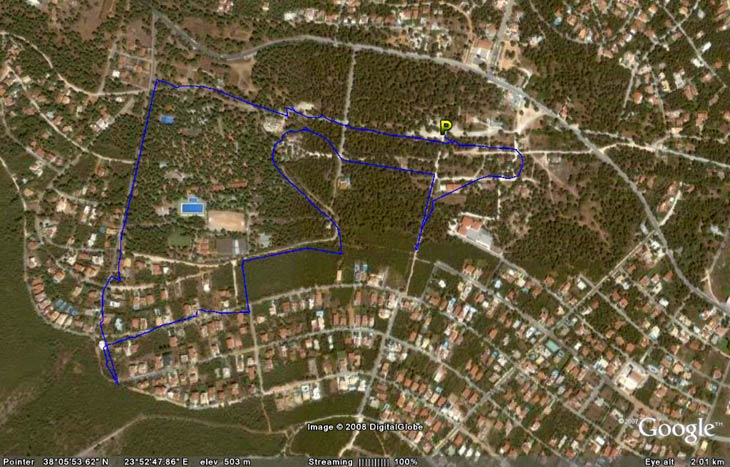
The trail
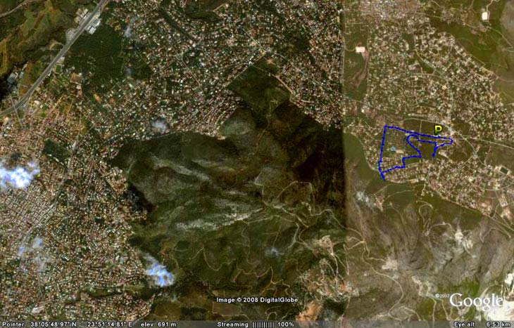
The trail from 6.5 Km up
- B E F O R E T H E R U N -
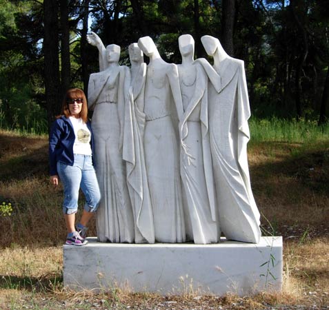
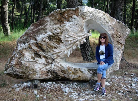
The start point for the run was at a permanent exhibition of
marble statues celebrating and honouring all the marble
workers who excavated the marble on the mountainside above.
- T H E R U N -

Visiting ex-Ah3 hasher Can't Get Laid with Cook The Fook (Left)
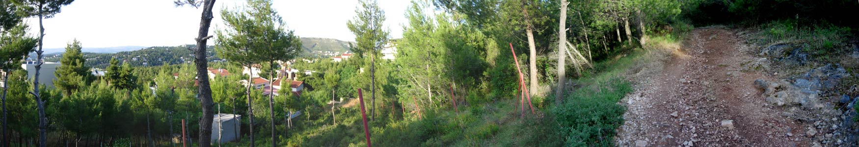
Panoramic view from the mountainside (Mount Pendeli)
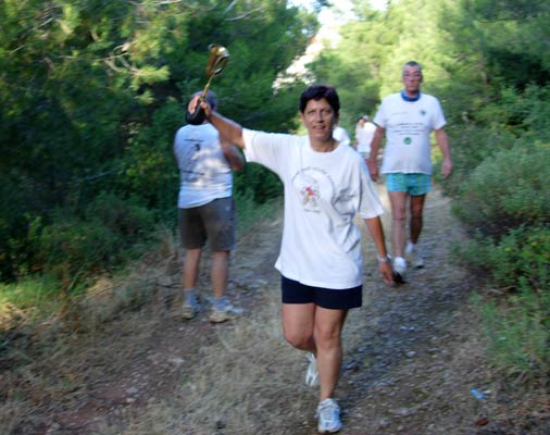
Cock's Tale returns from a falsie with the hash horn
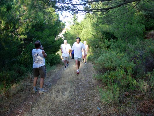
Returning from the falsie
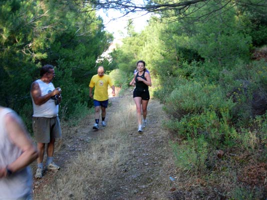
Returning from the falsie (Born Free striding out)
|
NOTES To
send the photo by e-mail as an attachment: MD Feb. 2006 |
Please use your "Back" Button (Top Left) to return to the previous page