Run 1588 (Monday 2nd June 2008)
Hare: Maximus Pooh
Photographer: Mad Dog
NOTE:
Use the horizontal scroll bar (bottom of screen)
to view the panoramic photos.
- T H E W A L K E R S T R A I L -
The starting point
& circle:
Latitude 37 56' 31.97'' North
Longitude 23 46' 39.59'' East
Altitude: 355 metres above sea level
Walker's Trail
cartographic Length = 3.7 km
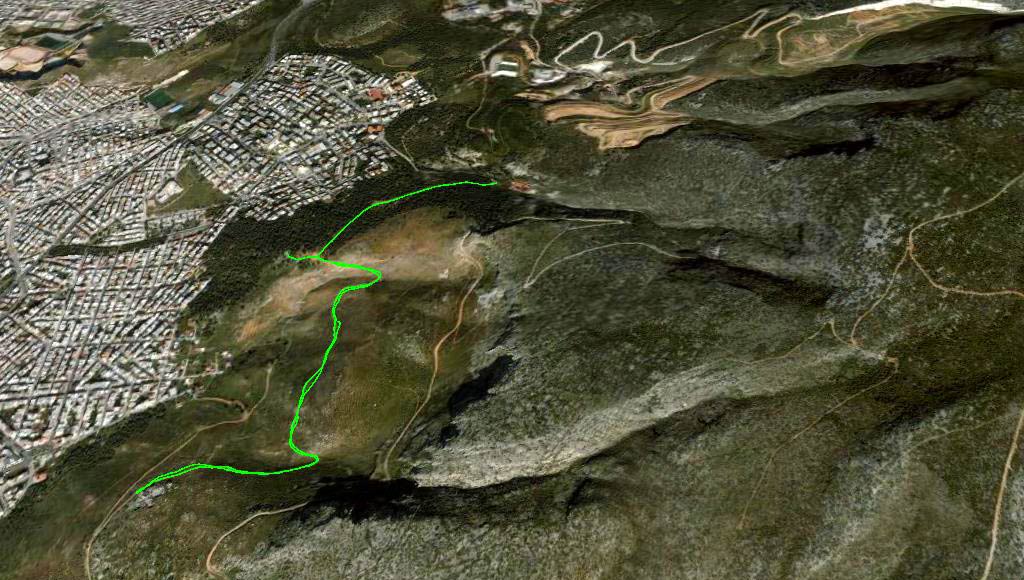
GPS track of the trail
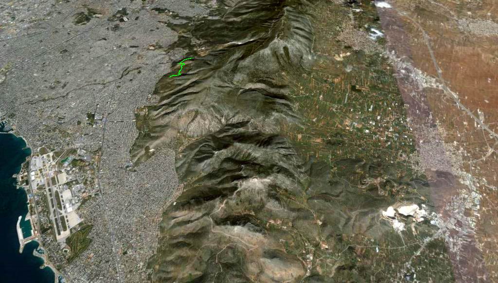
View from 12 km up
- T H E W A L K -
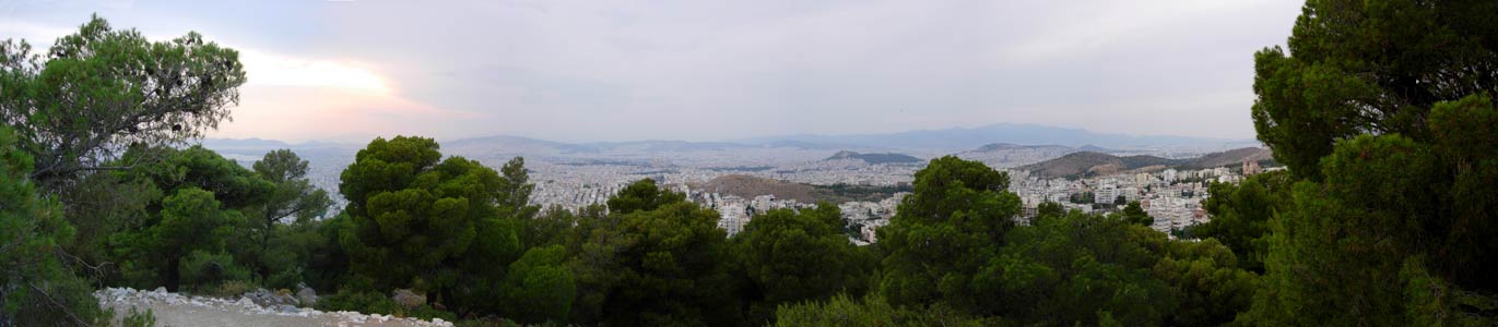
Panoramic view from the lookout point
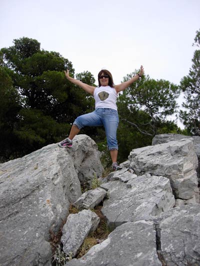
Doggie Style at the lookout point

Doggie Style models a hash top from a past Mycene weekend
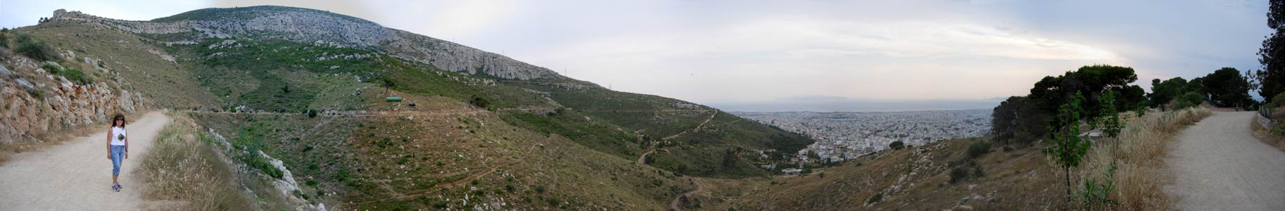
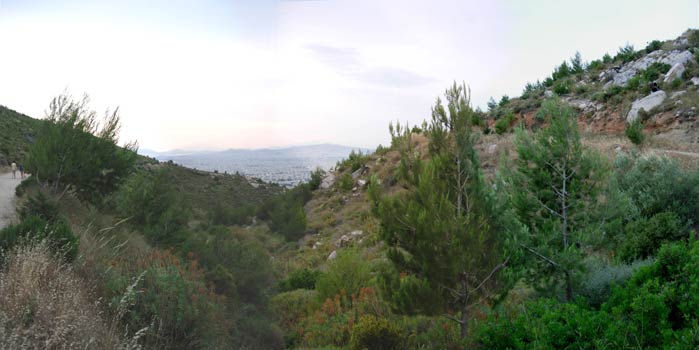
Panoramic view - Note the sea
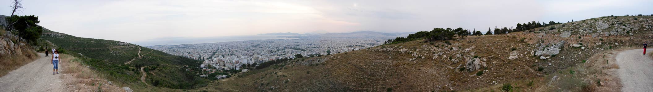
Panoramic view from further along the trail
The sun is setting behind the clouds
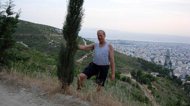
Mad Dog
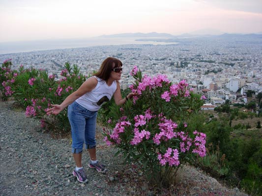
Doggie Style & a Picrodaphne shrub
View along a small valley
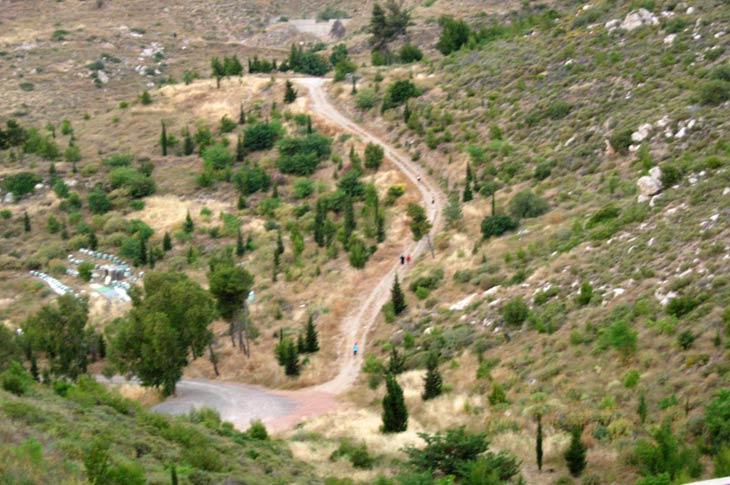
OnOn & up - hashers!
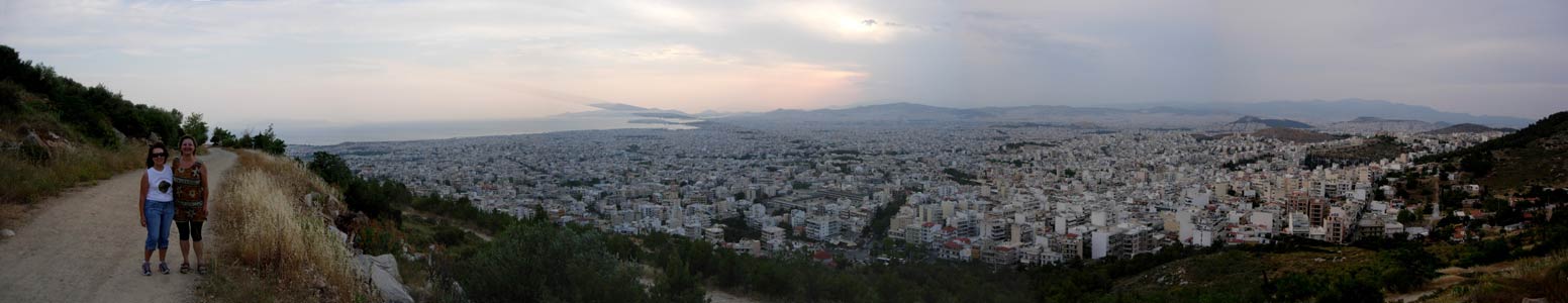
Panoramic view with Bouboulina & Doggie Style
(Nice view of the sea)
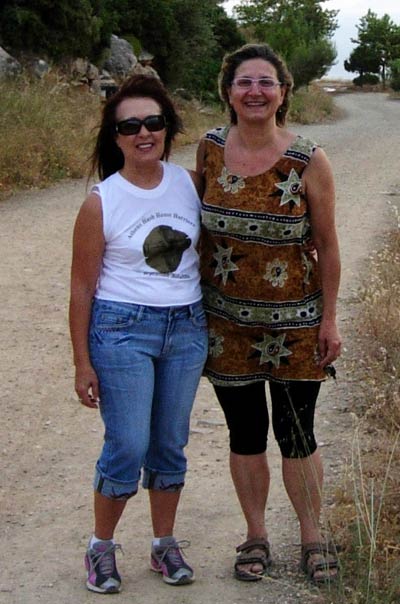
Bouboulina & Doggie Style
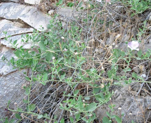
Caper plant growing wild
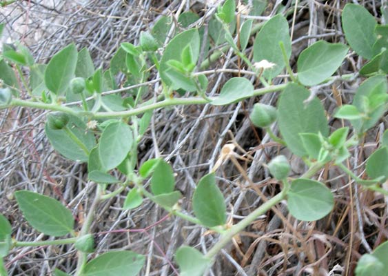
Capers
|
NOTES To
send the photo by e-mail as an attachment: MD Feb. 2006 |
Please use your "Back" Button (Top Left) to return to the previous page