Mount Pendeli
(Northern Athens)
Run 1580 (Sunday 13th April 2008)
Hares:
Black Mamba & Prickly Bush
Photographer: Mad Dog
Bottom Return
To Photo Menu (<=
Back may be faster)
NOTE: Use the horizontal scroll bar (bottom of screen) to view the panoramic photos.
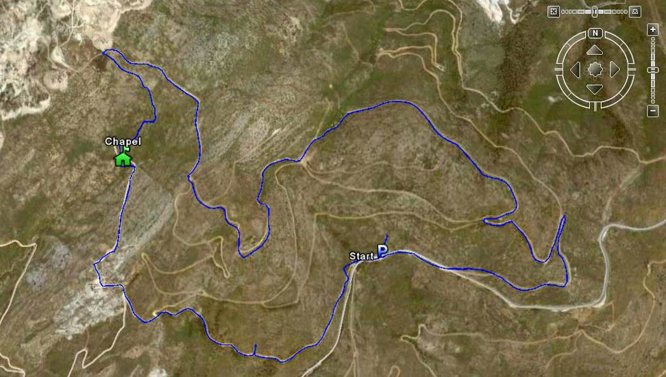
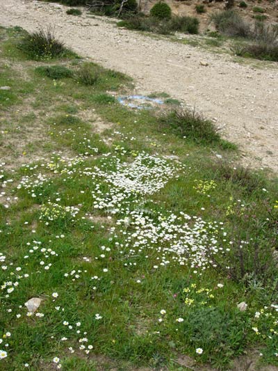
- T H E T R A I L -
The starting point
& circle:
Latitude 38 04' 01.35'' North
Longitude 23 54' 07.50'' East
Altitude: 707 metres above sea level
Trail cartographic Length = 8.7 km
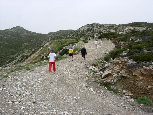
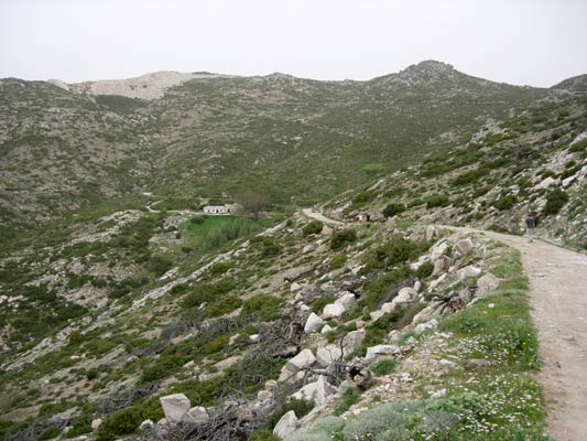
- T H E R U N -
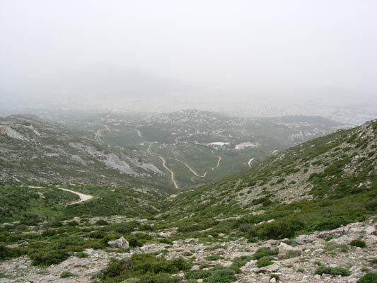
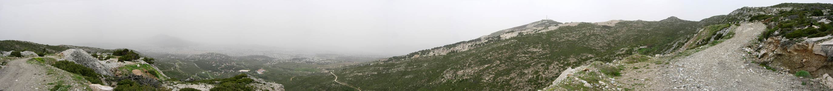 Panoramic
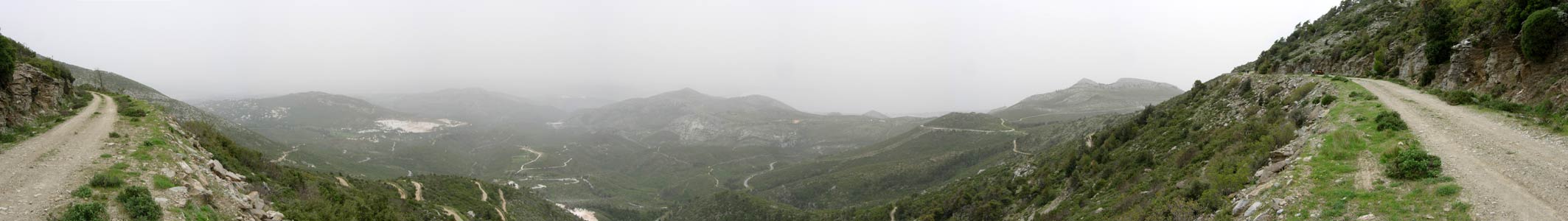
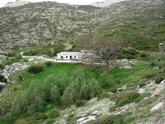
Chapel location: Lat: 38 04' 14.57'' N, Lon: 23 53' 22.43'' E, Elev: 788 metres
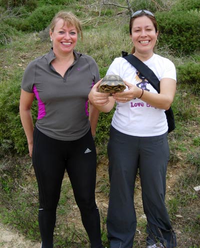
Coke Dealer & Love Bug with a wild tortoise
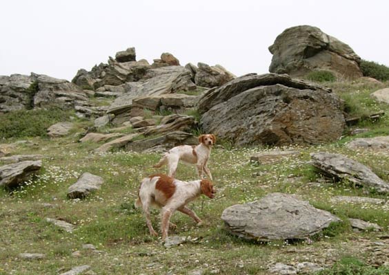
Love Bug's husky dog Chief joined these two young dogs for play
and completely forgot he was hashing. A search party had to set off
back up the mountain to find him.
- T
H E C I R C L E -
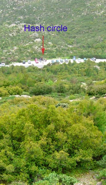
The hash circle - being missed by the
dog-search team.
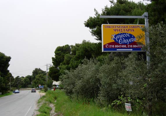
- T
H E T A V E R N A -
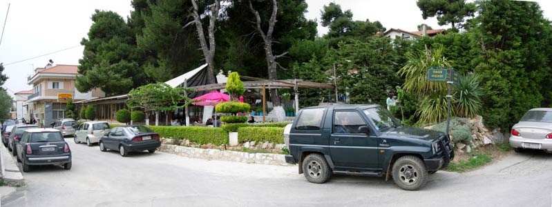
The Christos-Olympia taverna in Old Pendeli
Taverna location: Lat: 38 03' 32.15'' N, Lon: 23 52' 37.84'' E
|
NOTES To
send the photo by e-mail as an attachment: MD Feb. 2006 |
Please use your "Back" Button (Top Left) to return to the previous page