Krioneri
(North-Western Athens)
Run 1573 (Sunday 24th February 2008)
MELTING SNOW HASH
(But it had almost all melted)
Hare:
Mad Dog
Photographer: Mad Dog
- T H E T R A I L -
The starting point
& circle:
Latitude 38 08' 20.80'' North
Longitude 23 48' 55.24'' East
Altitude: 385 metres above sea level
Trail
cartographic Length = 6.7 km
(not including false trails)
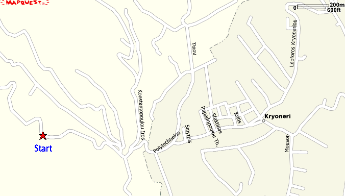
Map of Krioneri showing the parking area & start point of the run
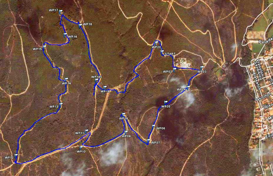
Planning waypoints (Route) combined with the GPS record of the trail (Track)
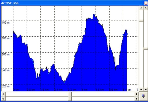
Elevation profile of the trail
- T H E R U N -
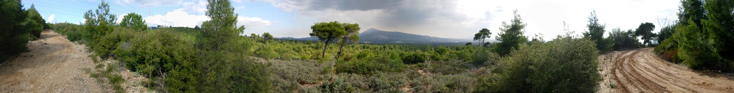
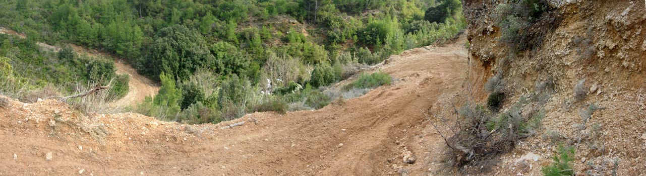
NOTE: Use the horizontal scroll bar (bottom of screen) to view the panoramic photos.
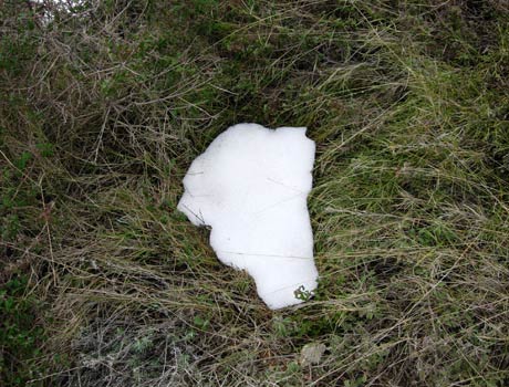
A little bit of melting snow on the trail
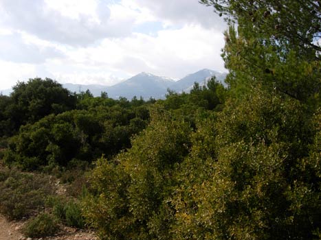
Mount Parnitha with snow
Panoramic View
Mount Pendeli with snow
Panoramic View
Steep incline down to the stream
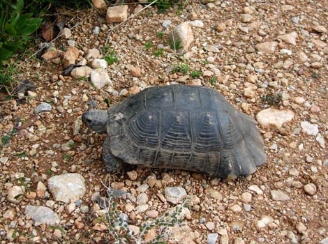
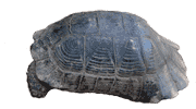
Wild tortoise out looking for a mate
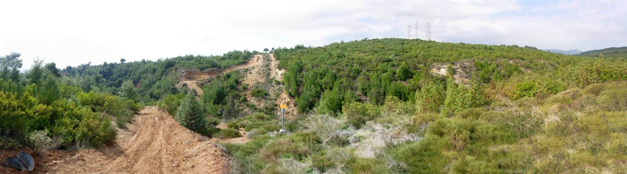
Panoramic View
Looking back
- T H E T A V E R N A -
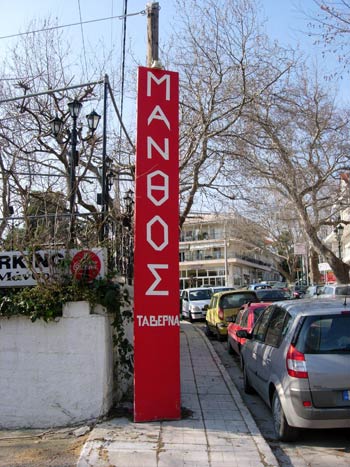
Manthos taverna in Krioneri
And now a few photos of the food.....
Many of the tasty dishes are missing because by the time the
camera was readied
the hungry hashers had already eaten them!
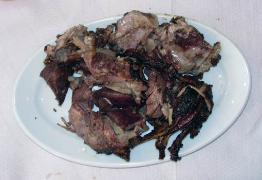
Kokoretsi ..... delicious!
(Don't ask what it's made of. Just taste it and you won't care)
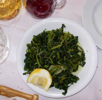
Horta (Greek greens) with olive oil & lemon.
Note still-full red & white wine carafes (but not for long)
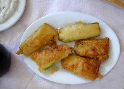
Fried Kolokithia (Courgette)
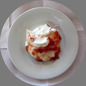
Yogurt with Quince
(This dessert was given free of charge by the taverna)
A very economical meal at 11 euros per head.
|
NOTES To
send the photo by e-mail as an attachment: MD Feb. 2006 |
Please use your "Back" Button (Top Left) to return to the previous page