Kouvaras
(North-East of Athens)
Official website: http://www.koinotita-kouvara.gr/
Run 1568 (Sunday 20th January 2008)
Hare:
CU Joerg & Spanish Fly
Photographer: Mad Dog
- T H E T R A I L -
The starting point
& circle:
Latitude 37 50' 28.68'' North
Longitude 23 59' 59.39'' East
Altitude: 134 metres above sea level
Trail cartographic Length = 5.1 km
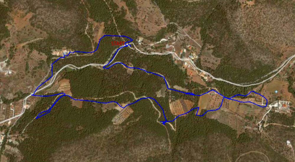
GPS recording of the trail (as viewed 1.5 Km up)
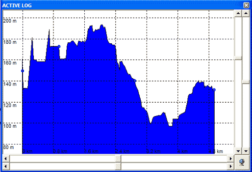
Elevation profile of the trail
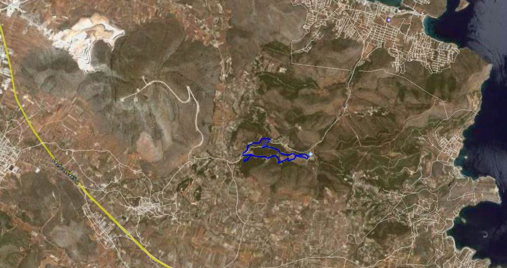
The trail from 10 Km up
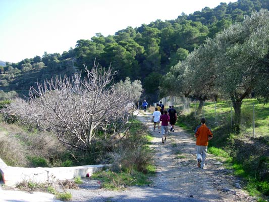
- T H E R U N -
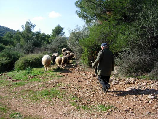
A flock of sheep front-run the pack
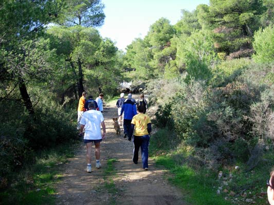
The sheep are leaving the pack behind!
(Come on hashers!!)
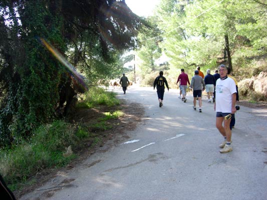
Almost caught up
The sheep have split-off to their own on-in while the hashers continue on-on
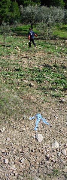
That way!
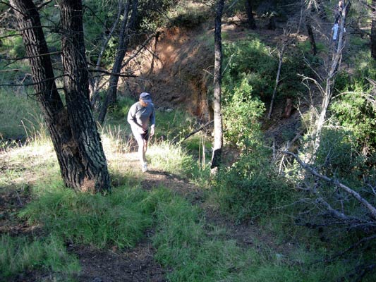
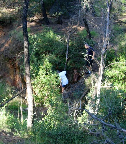
Down into a dry river bed & then up
Seconds after this shot was taken,
Fair Cop qualified himself for the Flying Club
Fair Cop in the dry river bed brushes off the dirt
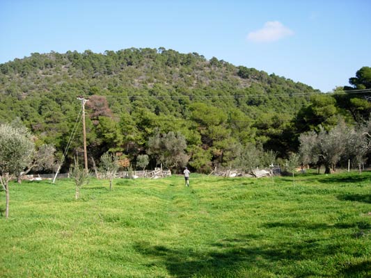
A field full of delicious grass (if you are a sheep)
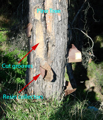
Abandoned pine-resin collection
(the resin was used to make retsina wine)
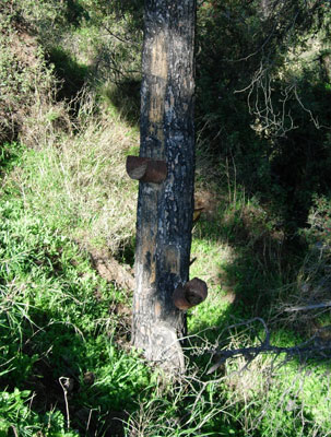
Another pine tree with resin collectors
(shame they can't produce beer)
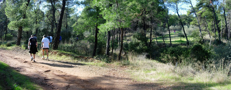
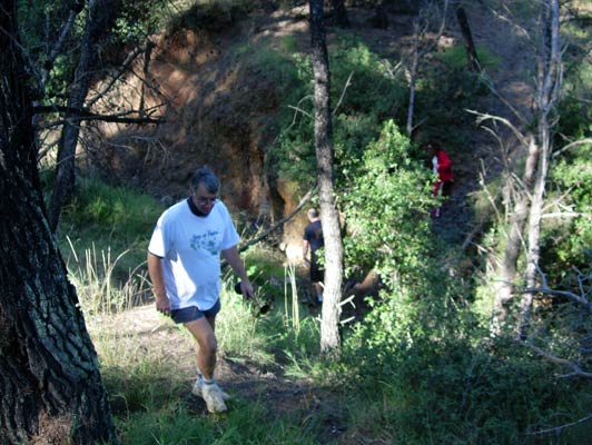
Fair Cop (RA) & Cook The Fook (GM) taking a breather & walking the trail
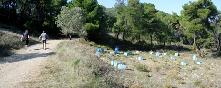
Bee Hive hazard
(the bees were venturing out on this fine day)
|
NOTES To
send the photo by e-mail as an attachment: MD Feb. 2006 |