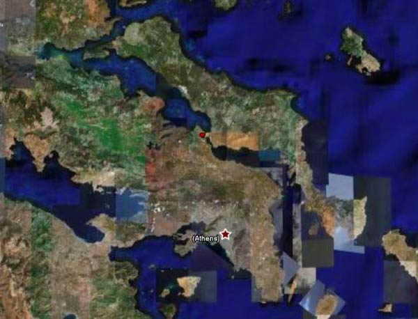
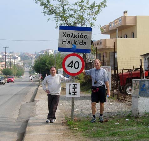
Halkida
(North of Athens)
Run
1560 (Sunday 25th November 2007)
Hare:
Napoleon's
Bony Part
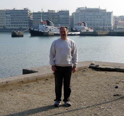
Photographer:
Mad Dog
Total
photos & images: 34
Total filesize: 1,530
Kilobytes
Minimum 7.3 mins download time at 28.8 Kilobits/sec
Bottom Return
To Photo Menu (<=
Back may be faster)
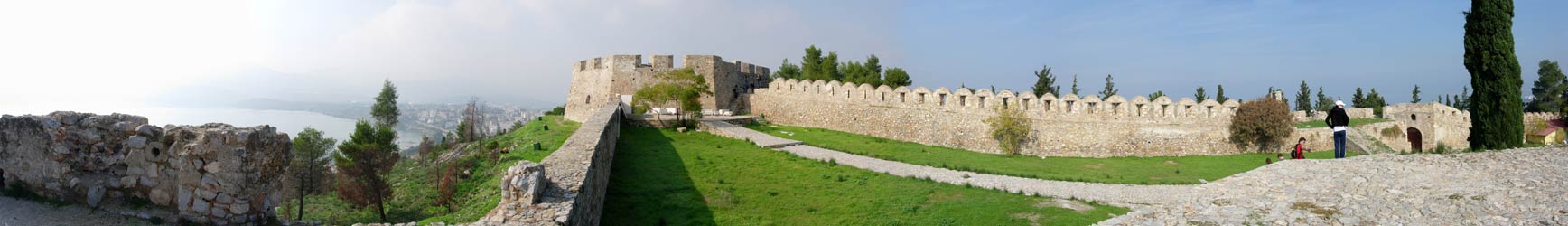
NOTE:
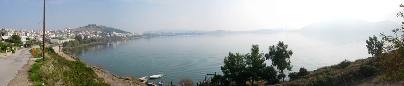
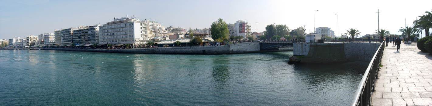
Use the horizontal scroll bar (bottom of screen) to view the panoramic photos.
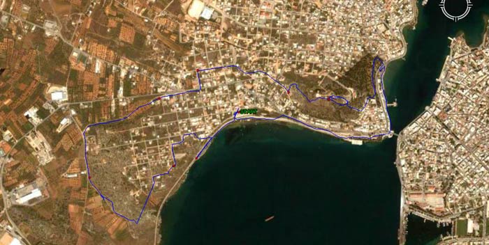
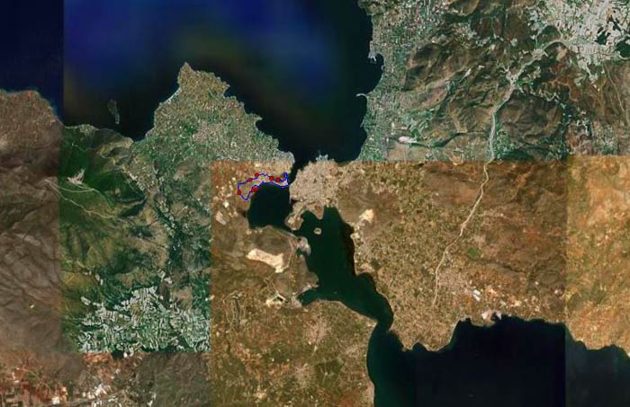
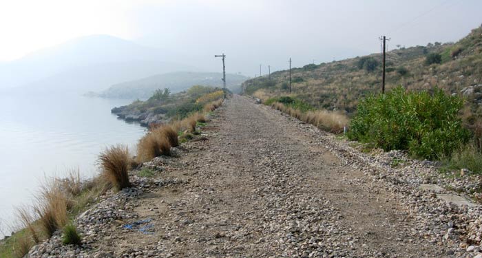
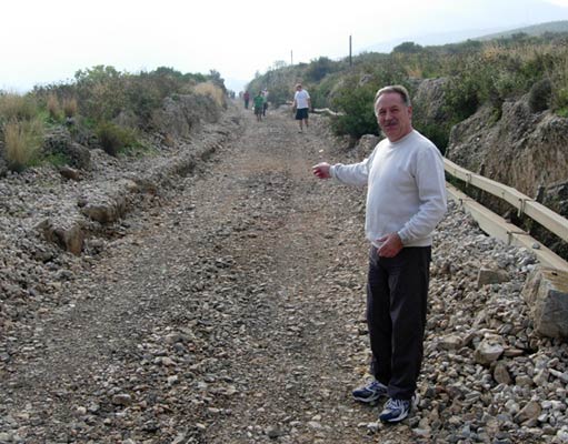
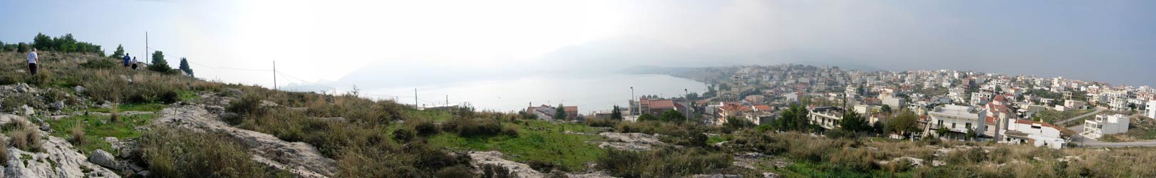
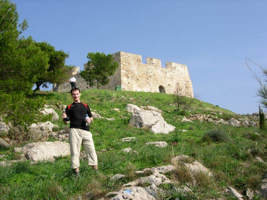
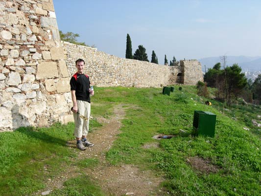
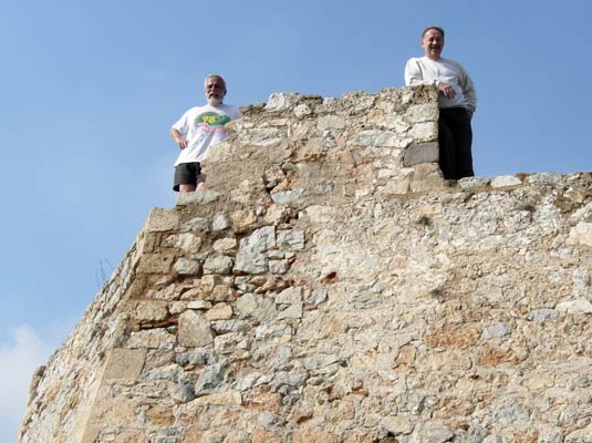
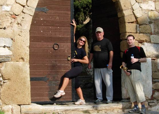
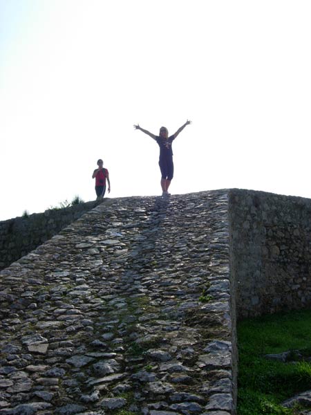
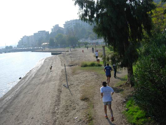
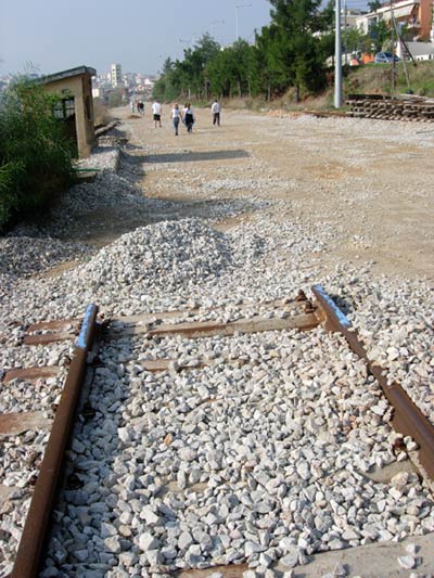
- T
H E T R A I L -
The starting point
& circle:
Latitude 38 27' 51.33'' North
Longitude 23 34' 35.93'' East
Altitude: 8.0 metres above sea level
Trail
cartographic Length = 7.8 km
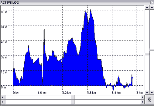
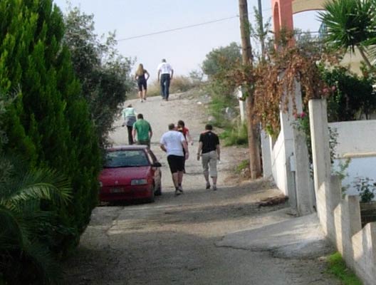
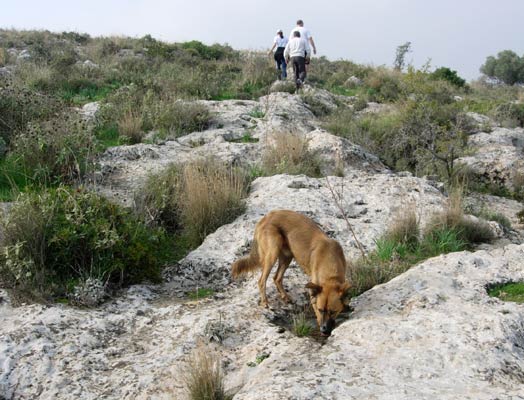
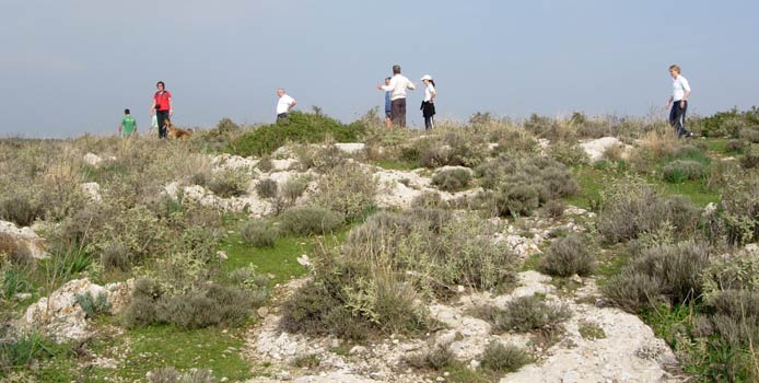
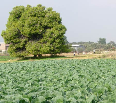
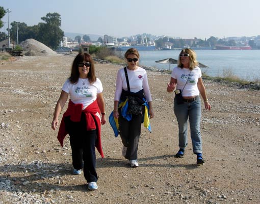
- T
H E R U N -
|
NOTES
To save a photo to your disk drive:
- Internet Explorer - Netscape Navigator - Opera
-
(1) Right-click your mouse on the photo
(2) A menu appears
(3) Click on "Save Picture As" (or
"Save Image")
(4) Pull-down the "Save In" menu (click the down-arrow)
(5) Double-click on a disk drive letter (to choose a drive)
(6) Double click on a directory icon (if applicable)
(7) Type in a File name of your choice for the picture
(8) Click Save
To
send the photo by e-mail as an attachment:
- Outlook Express -
(1)
Click the "Create Mail" button to start a new e-mail
(2) Click Insert > File Attachment
(3) Pull-down the "Look In" menu (click the down arrow)
(4) Double-click on a disk drive letter (to choose the drive)
(5) Double click on a directory icon (if applicable)
(6) Click on the photo file name to highlight it
(7) Click "Attach" to attach the photo to the e-mail
MD
Feb. 2006
|
Return
to Top