Varibobi
(North-Western Athens)
Run 1558 (Sunday 11th November 2007)
Hare:
Mountain
Goat
Photographer:
Mad Dog
Total
photos & images: 51
Total filesize: 3.09
Megabytes
Minimum 14.3 mins download time at 28.8 Kilobits/sec
Bottom Return
To Photo Menu (<=
Back may be faster)
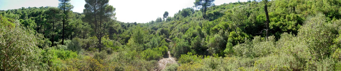
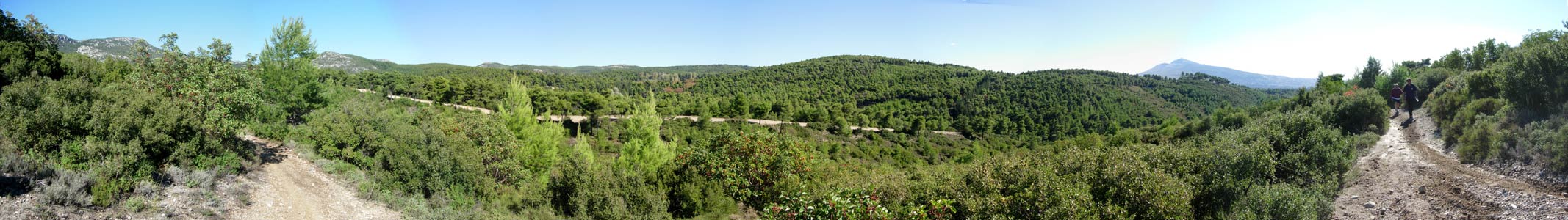
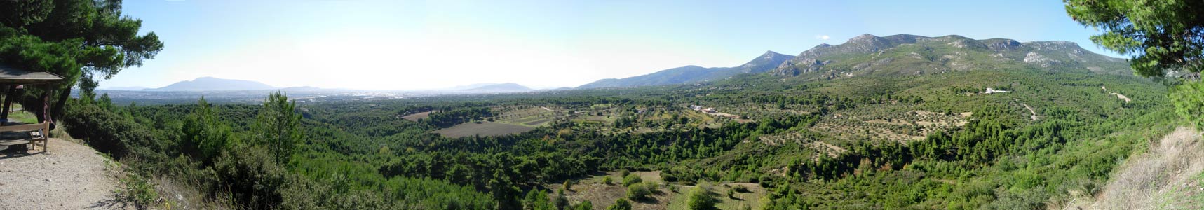
NOTE: Use the horizontal scroll bar (bottom of screen) to view the panoramic photos.
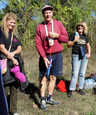
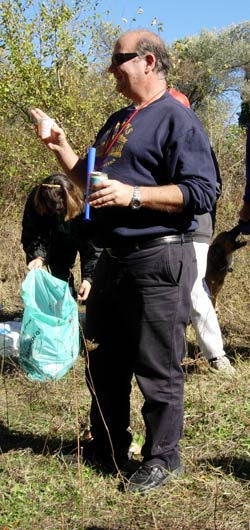
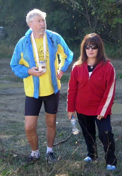
- A BIT OF ATHENS HASH HISTORY -
Mountain Goat's 500th run
Run 1165 on the 30/07/2000
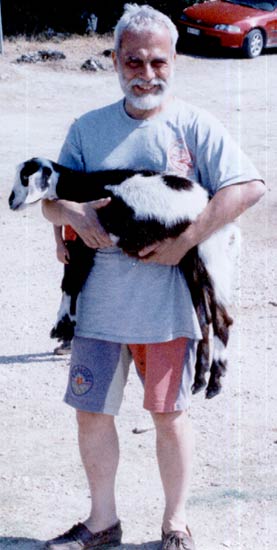
He
was awarded this kid goat
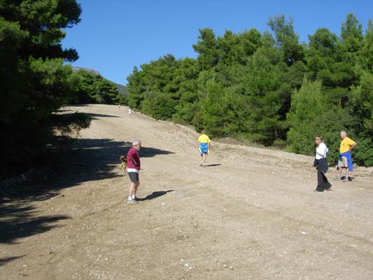
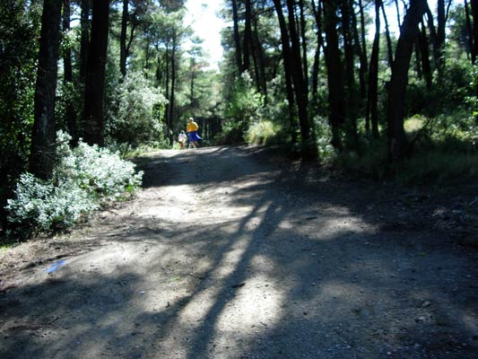
- T H E T R A I L -
The starting point
& circle:
Latitude 38 09' 19.98'' North
Longitude 23 47' 30.27'' East
Altitude: 442 metres above sea level
Initial air temperature (11.00 hrs) = 9 deg.C
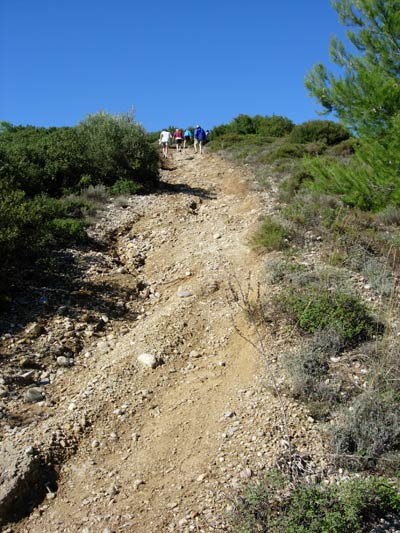
Trail
cartographic Length = 5.7 km
(NOTE:
The cartographic length is the length of the plan view of the trail and does
not
take into account the extra distance travelled by going up & down hill)
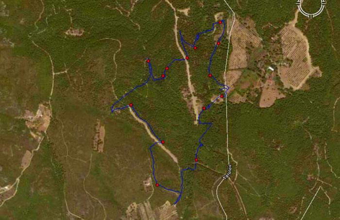
Plan
view of the trail.
The start was from the roadside parking area (Tatiou road)
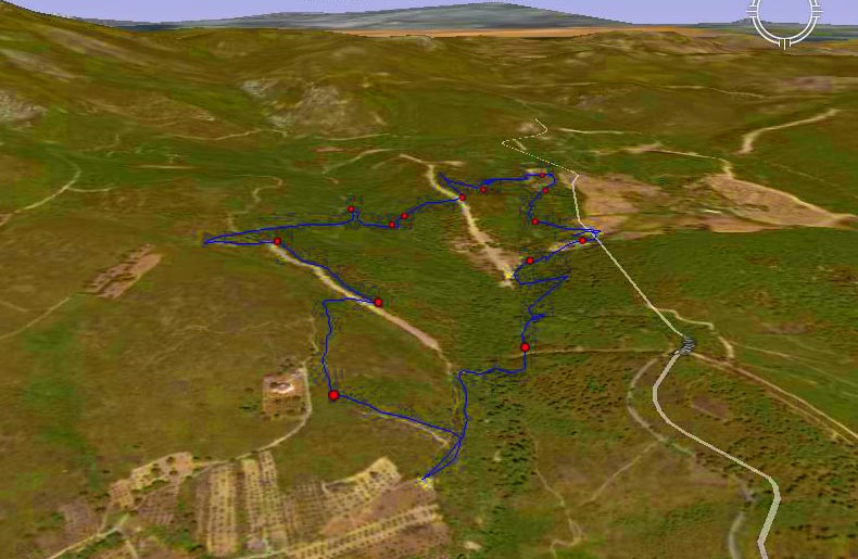
3D view of the trail.
Elevation profile of the trail.
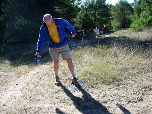
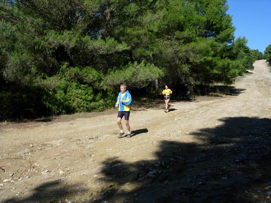
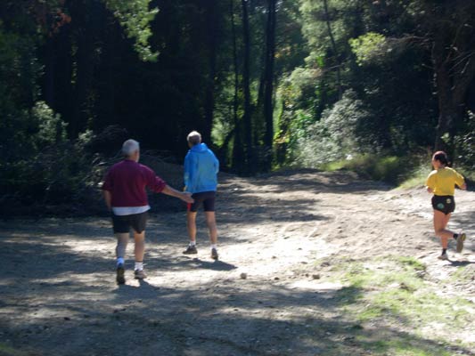
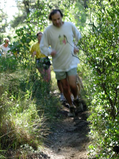
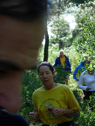
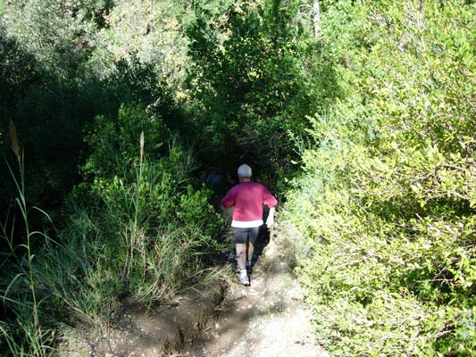
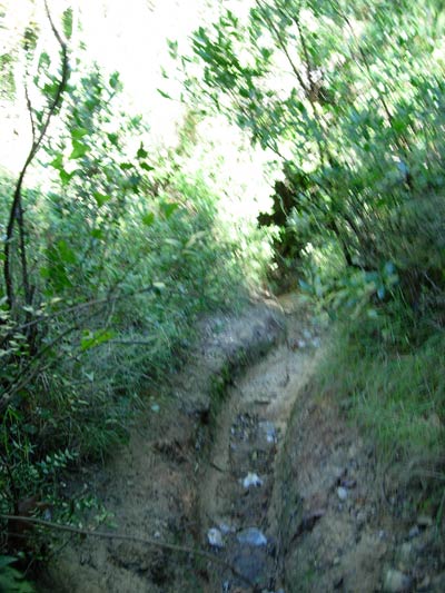
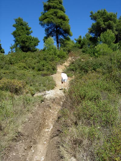
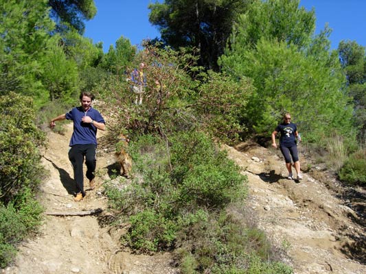
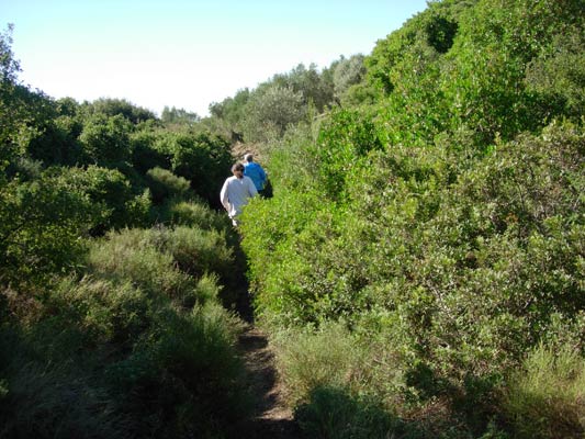
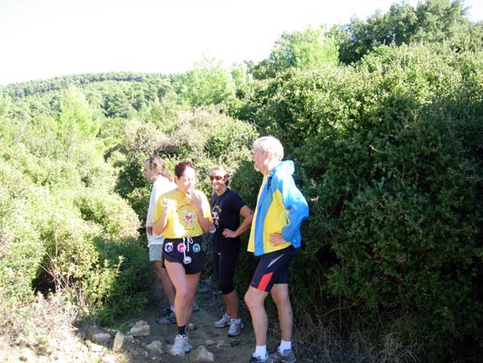
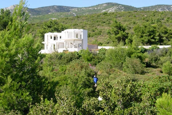
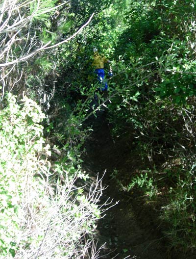
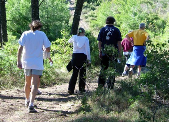
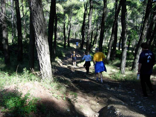
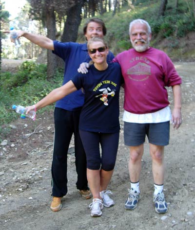
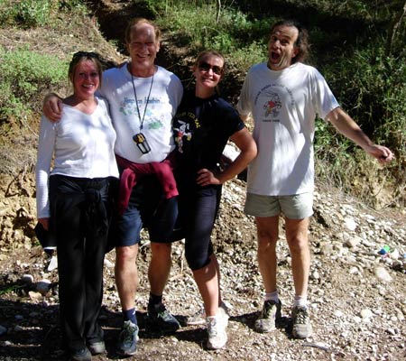
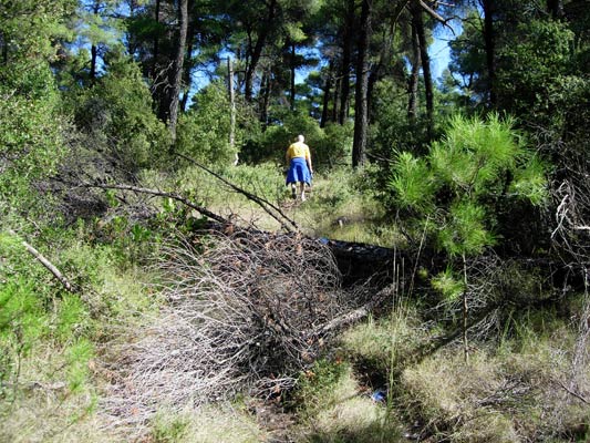
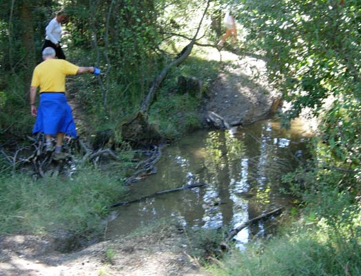
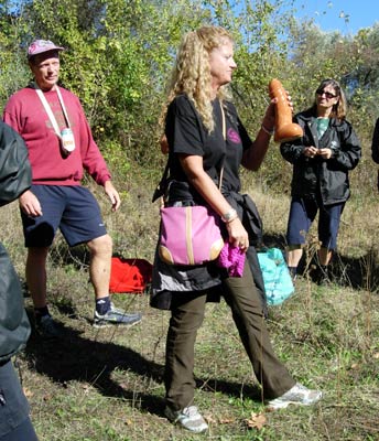
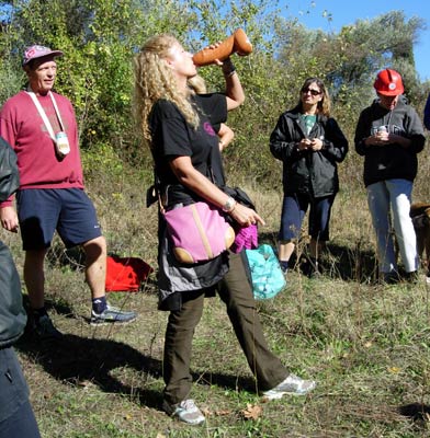
- T
H E R U N -
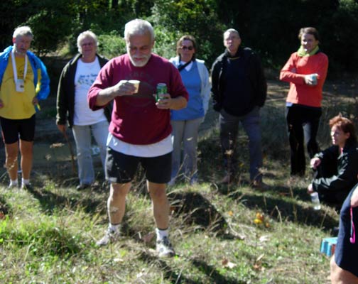
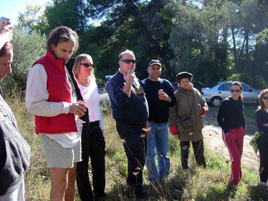
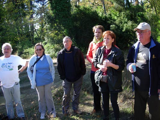
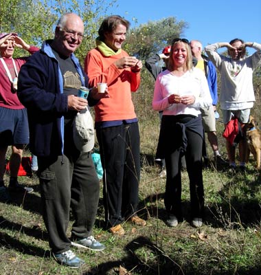
- T
H E C I R C L E -

- T H E T A V E R N A -
Aris Taverna, Varibobi
|
NOTES To
send the photo by e-mail as an attachment: MD Feb. 2006 |