Tolo
(Near Nafplio, Peloponnese)
Run 1552 (Friday 28th September 2007)
AUTUMN WEEKEND
Hare:
Fiery
Tw*t
Photographer:
Mad Dog
Bottom Return
To Photo Menu (<=
Back may be faster)
NOTE: Use the horizontal scroll bar (bottom of screen) to view the panoramic photos.
- T H E J O U R N E Y TO T O L O -
Just before entering Tolo.....
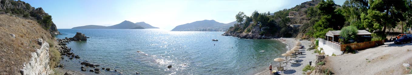
Panoramic
view of the small bay & beach next to the site of Ancient Asine
(the archaeological site is to the left of the photo)
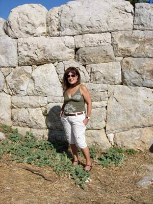
Doggie
Style shows an interesting stone fortification wall
from Ancient Asine 2,300 years old
- T H E H O T E L -
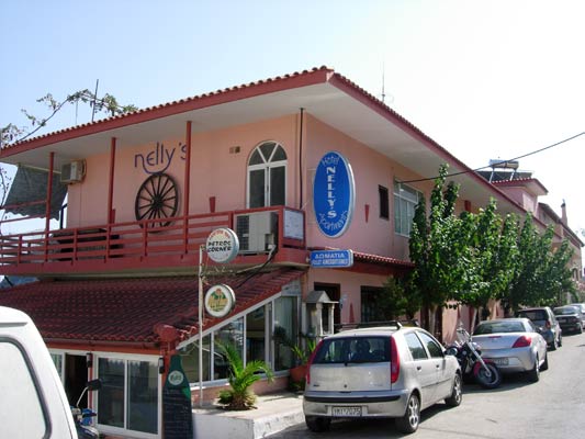
Nelly's Hotel in Tolo where most of the hashers stayed
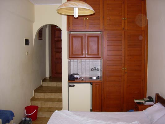
Typical
street-level room with sea view
(Note the kitchen facility & fridge)
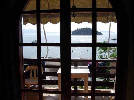
View out of the window - the beach, bay & island
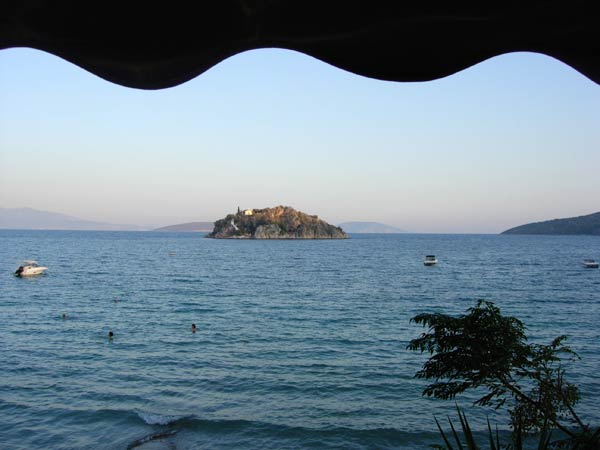
Better view of the island

Panoramic view from the hotel balcony
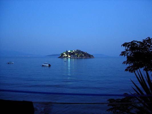
The island at night
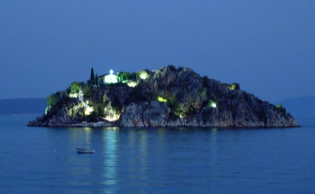
The island and its small church is beautifully floodlit at night
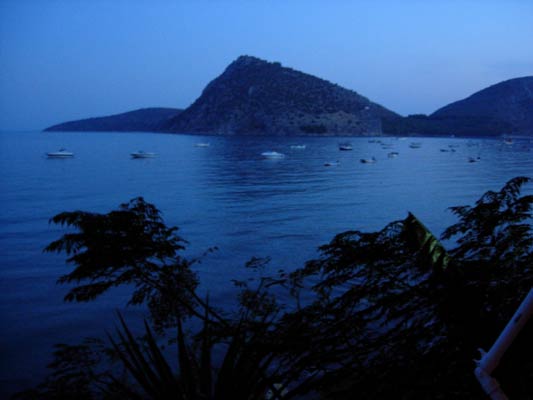
Stunning night view to the right of the island
- T H E T R A I L -
The starting point
& circle (Nelly's Hotel):
Latitude 37 31' 20.13'' North
Longitude 22 51' 41.11'' East
Altitude: 4.2 metres above sea level
Trail cartographic Length = approx. 2.8 km
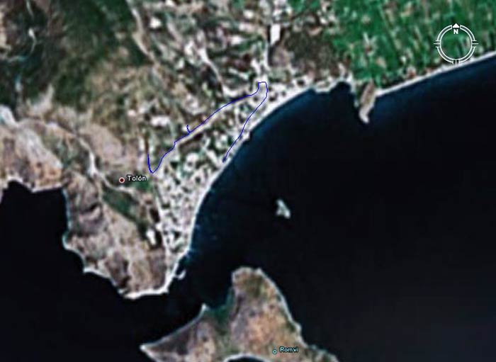
The run (mostly in & around town) started at 7.00 pm
(The GPS trail is incomplete due to Mad Dog's forgetfulness)
|
NOTES To
send the photo by e-mail as an attachment: MD Feb. 2006 |