Run 1548 (Monday 3rd September 2007)
Hare:
Mad
Dog
Photographer:
Mad Dog
Bottom Return
To Photo Menu (<=
Back may be faster)
NOTE: Use the horizontal scroll bar (bottom of screen) to view the panoramic photos.
- T H E T R A I L -
(Some nerd stuff)
The starting point
& circle (close to the Monastery & Telis Taverna):
Latitude 38 03' 03.23'' North
Longitude 23 52' 00.64'' East
Altitude: 433 metres above sea level
Trail cartographic Length = 4.96 km
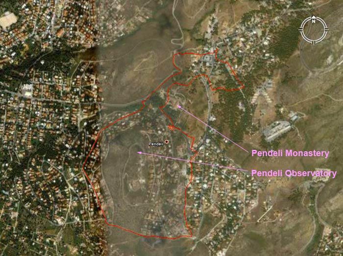
GPS-recorded trail of the run
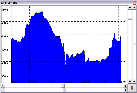
Altitude profile of the run
- T H E R U N -
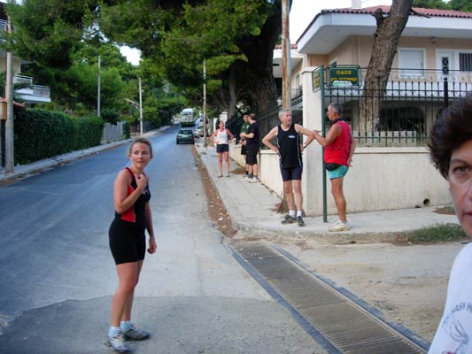
After
running through the Monastery
grounds & along some streets,
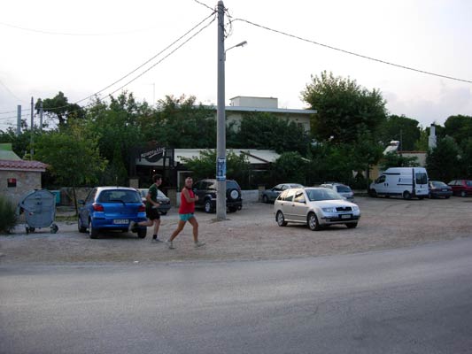
which
way to go?
Lamb cooking at a meat taverna in the Upper-Pendeli platia
Cook the Fook with hash virgin at the Upper-Pendeli platia
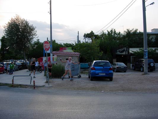
The Bookmaker closely followed by Strawberry4Skin at the Upper-Pendeli platia
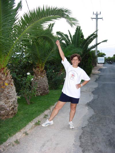
Cocks Tale poses on a road on the Observatory hill
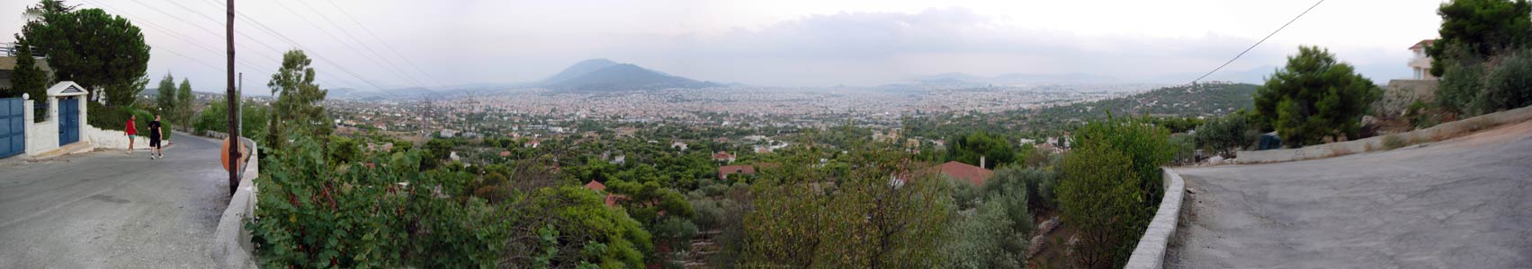
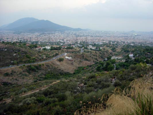
Panoramic view from the backside of the Observatory hill
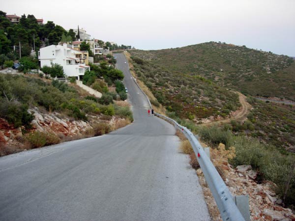
Steep road section round the Observatory hill
Another view as the light fades
|
NOTES To
send the photo by e-mail as an attachment: MD Feb. 2006 |