Gerakas
(North-eastern Athens)
Run 1543 (Monday 30th July 2007)
Hare:
Strawberry4Skin
Photographer:
Mad Dog
Bottom Return
To Photo Menu (<=
Back may be faster)
NOTE: Use the horizontal scroll bar (bottom of screen) to view the panoramic photos.
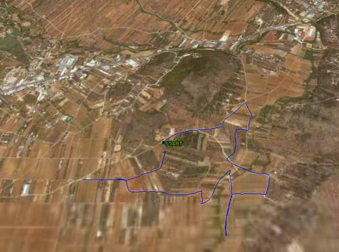
The starting point
& circle:
Latitude 37 59' 44.15'' North
Longitude 23 57' 21.10'' East
Altitude: 87 metres above sea level
Trail cartographic Length = 5.98 km
- T H E R U N -
Heading down
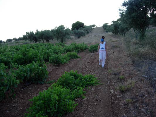
Leanover, the sole walker
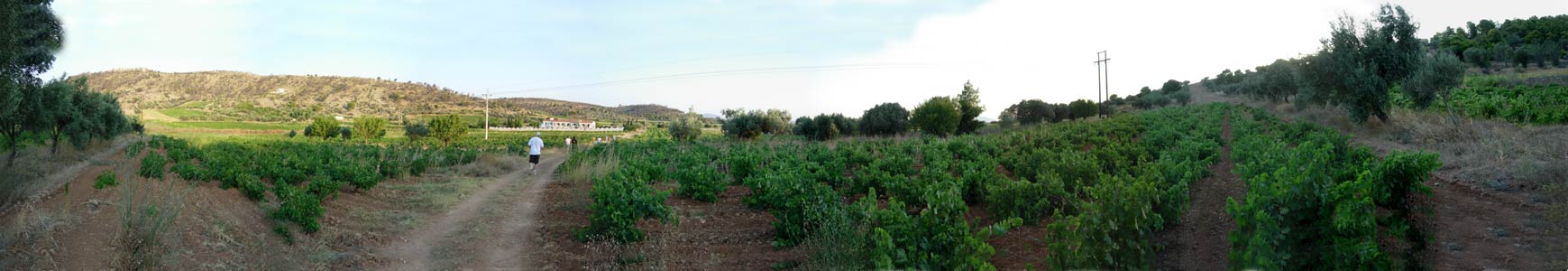
Panoramic view of the hashers running through a vineyard
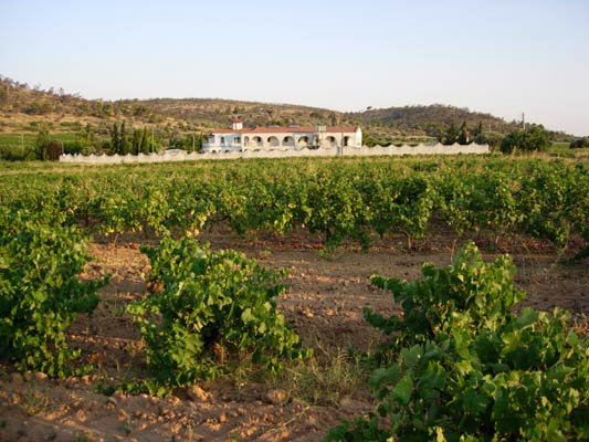
Monastery surrounded by vines (good location!)
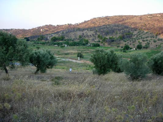
Down through the prickly dry grass
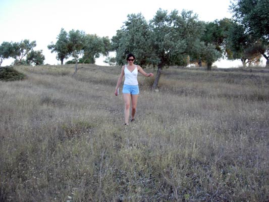
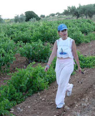
Marissa - virgin hasher
|
NOTES To
send the photo by e-mail as an attachment: MD Feb. 2006 |