Run 1507 (Sunday 3rd December 2006)
Hare:
Love
Bug & Lester
Photographer:
Mad Dog
Total
photos: 22
Total filesize: 1,009
Kilobytes
Minimum 4.8 mins download time at 28.8 Kbits/sec
Bottom Return
To Photo Menu (<=
Back may be faster)
NOTE: Use the horizontal scroll bar (bottom of screen) to view the panoramic photos.
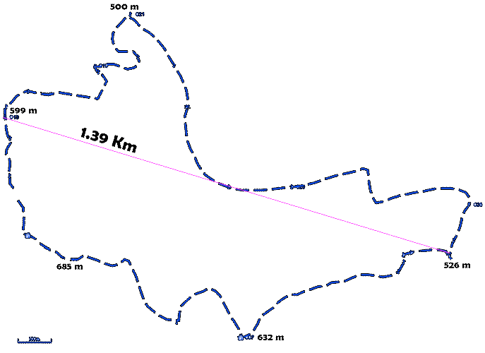
The trail - with distance & altitudes indicated
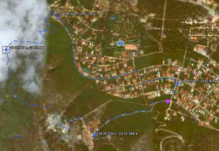
The GPS recorded trail superimposed on a Google Earth satellite map (from
2 Km above the earth)
(The purple dot indicates the starting point of the run - 38 05.666 N,
023 52.784 E)
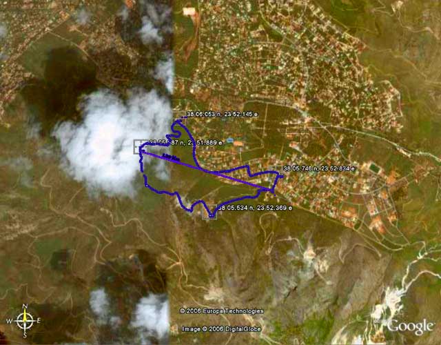
The trail & surrounding area from 4.5 Km above the earth
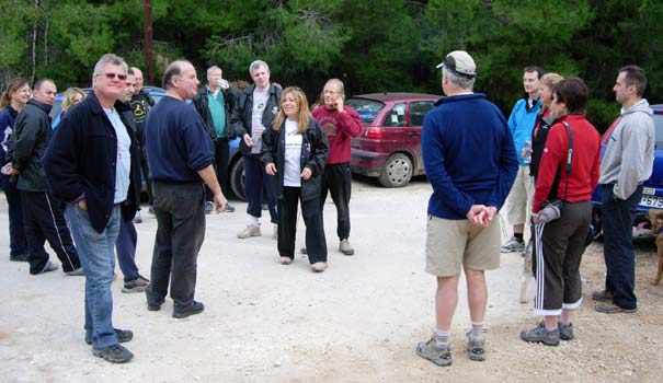
The hares describe (lie about) the run
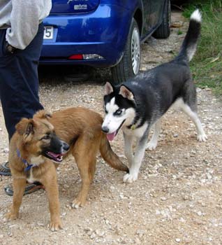
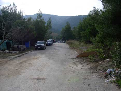
Doggies raring to go
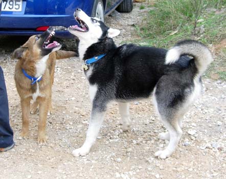
"Come on, hashers!"
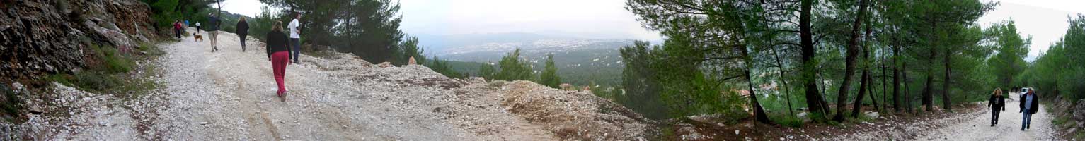
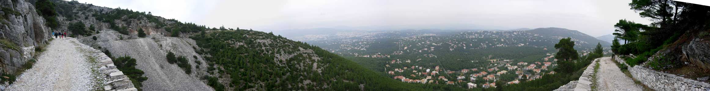
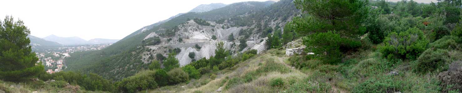
Panoramic view 1
A long uphill path
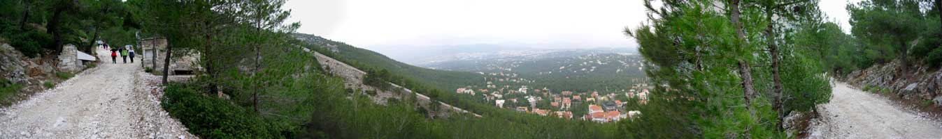
Panoramic view 2
Panoramic view 3
Road leading to the abandoned marble quarry - with a sheer drop on the right-hand side
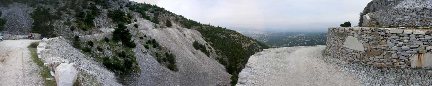
Panoramic view 4
Closer view of the quarry
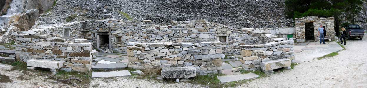
Panoramic view 5
Old marble quarrymen's homes on the mountainside
Panoramic view 6
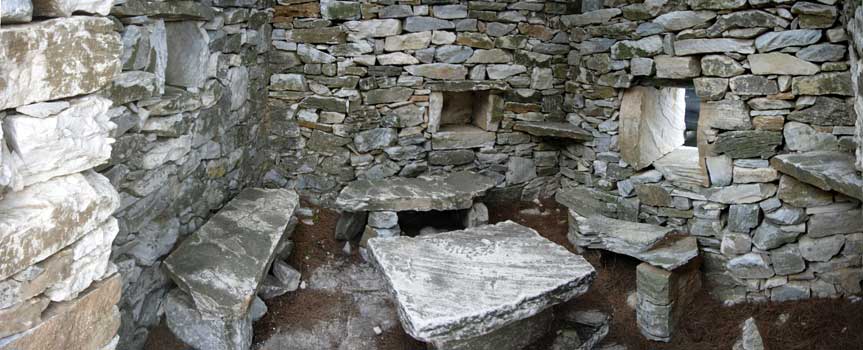
Inside one of the dwellings
Panoramic view 7
Distant view of the quarry

Panoramic view 8
View down over Dionysos
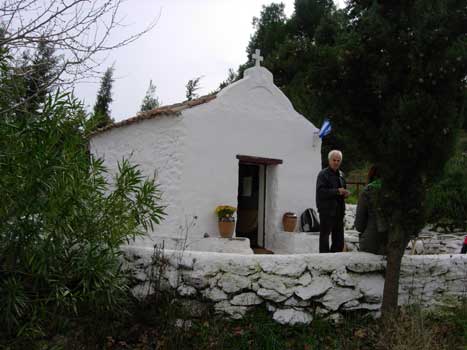
Chapel on the mountainside
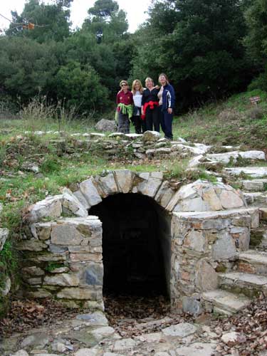
Harriettes pose above the chapel's fountain
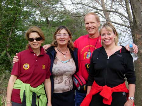
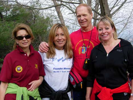
Leanover, Bouboulina & Coke Dealer with Mad Dog
Hare Love Bug joins in
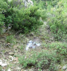
Falsie
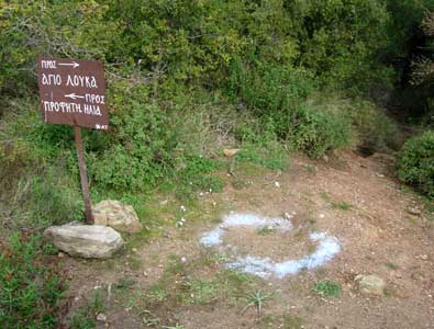
Check next to footpath sign post
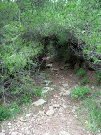
Pine tree tunnel
Up the hill to the On In (and the beer!)
|
NOTES To
send the photo by e-mail as an attachment: MD Feb. 2006 |